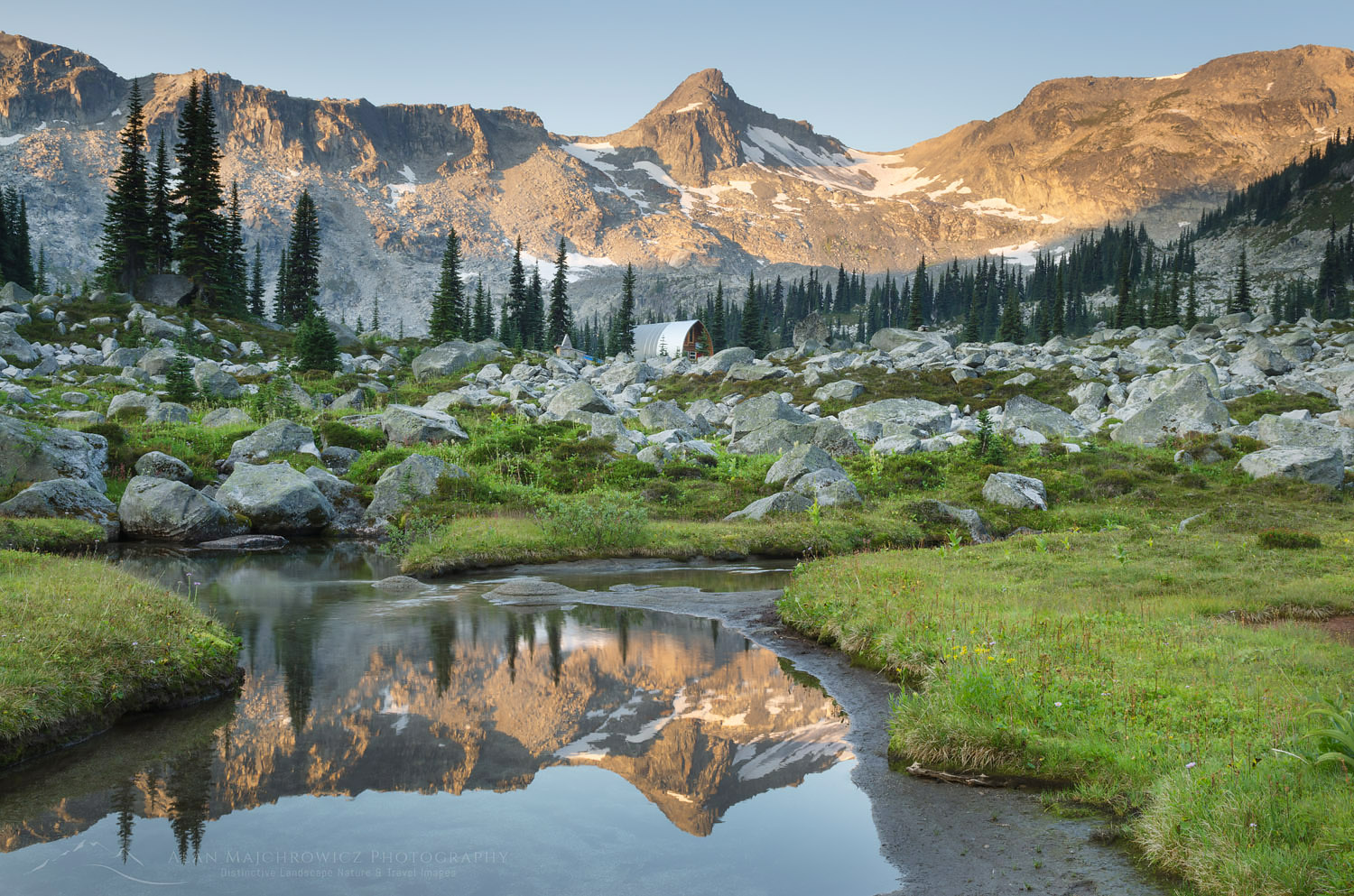
Alpenglow over Marriott Basin, Coast Mountains British Columbia

Marriott Basin British Columbia
Marriott Basin British Columbia

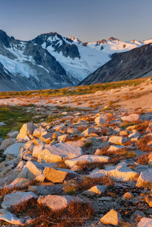
Alpenglow over Marriott Basin, Coast Mountains British ColumbiaMarriott Basin alpenglow, #61843    Purchase

Last month I made my third trip to Marriott Basin, in search of new landscape images. Hot on the heels of my recent trip to Whatcom Pass, I wanted to get in as many backpacking photo trips as possible before wildfire smoke returned. This season has been one of the worst in history for wildfires. Both in the western United  States and British Columbia numerous large fires are burning.

Located in the southern Coast Mountains of British Columbia, Marriott Basin is an extensive alpine area. Access to the area is from Cayoosh Pass on Highway 99, about an hour’s drive east of Pemberton. Nearby is the extremely popular Joffre Lakes Provincial Park. While the lakes are popular with sightseers and day hikers, the Joffre Group of peaks is wildly popular with climbers and backcountry skiers.

Marriott Basin and Wendy Thompson Hut

Generally above 6000′ Marriott Basin contains several lakes and numerous peaks for climbing, most notably Marriott Peak. My previous trips to Marriott Basin entailed one overnight backpack to Mount Rohr, technically outside the basin. The other was a winter ski trip to the Wendy Thompson Hut, located at the head of the basin. The Wendy Thompson Hut is operated by the Alpine Club of Canada and is open year-round. However, the hut sees most of its visitors during the winter and early spring ski season.

Getting into Marriott Basin is fairly straightforward, with summer access being slightly different from winter. In summer you can drive a couple of miles up a brushy gravel secondary road to the trailhead. Parking and turnaround space is extremely limited and you my need back down the road to find a spot. The total length into the basin from trailhead to the hut is around five miles with about 2000 feet of elevation gain. I say around and about since I don’t carry a GPS and rely on maps and online trail guides instead. Depending on your fitness and pack weight the hike can be from 2-4 hours.
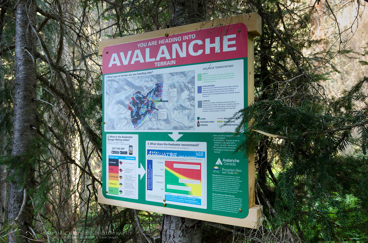
Avalanche warning sign Coast Mountains British ColumbiaTrailhead avalanche warning #61910    Purchase

Marriott Basin British Columbia Trail

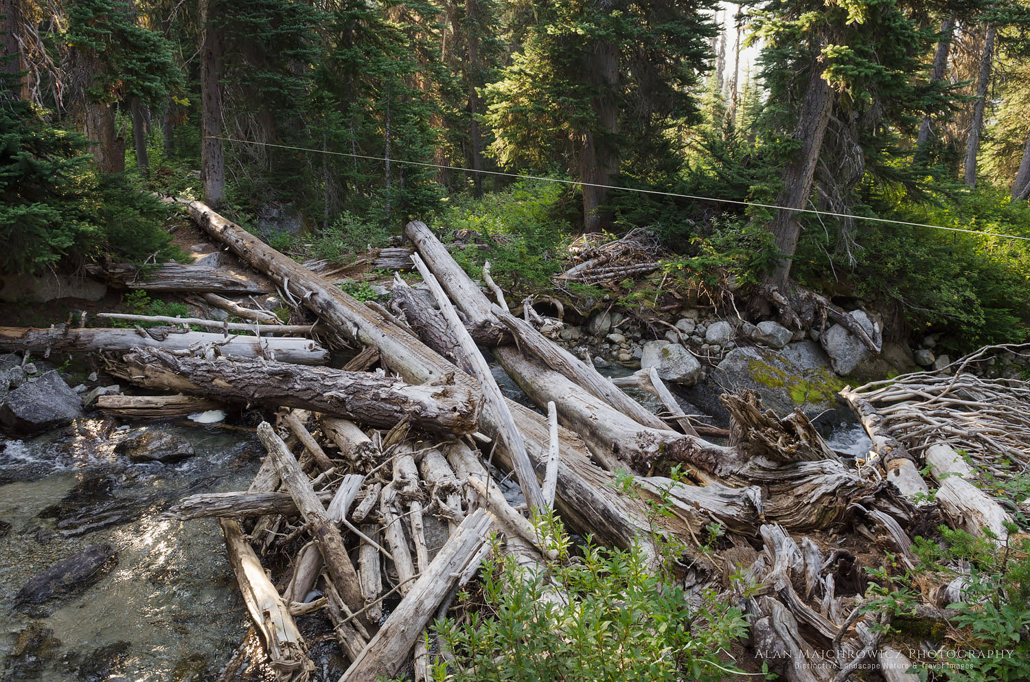
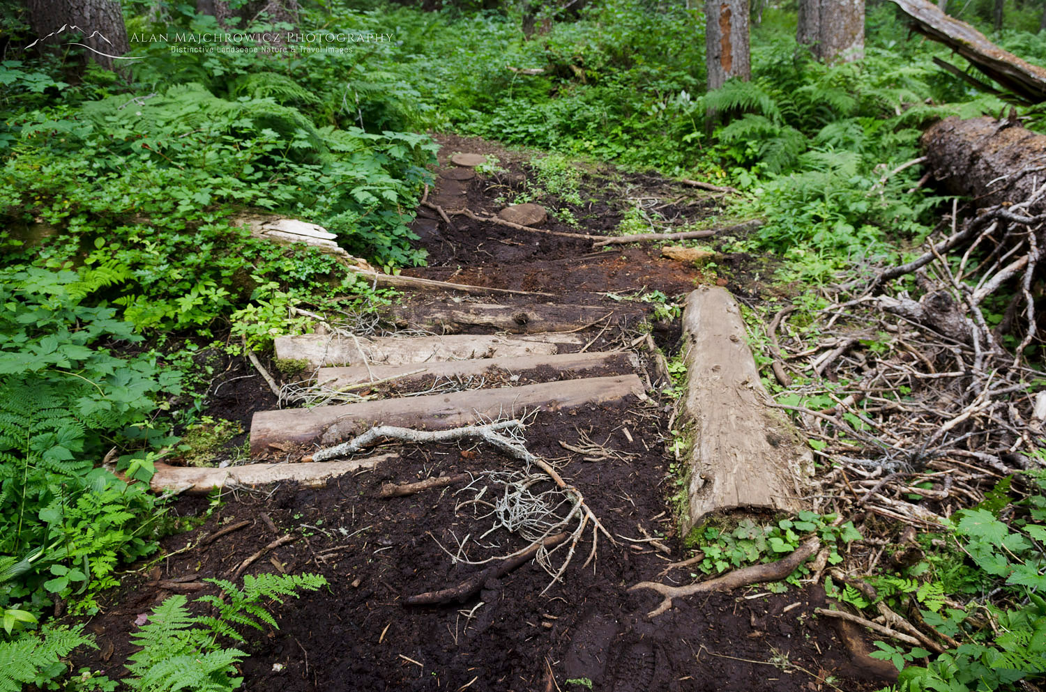
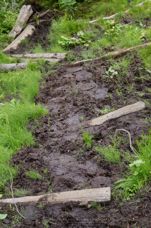
Posted at the trailhead is a large sign warning of and explaining avalanche hazards, which generally is of no consequence in summer. Hikers accustomed to hiking on U.S. trails in the Pacific Northwest may be in for a rude awakening. Well-marked and easy to follow, the trail receives very little maintenance. Climbing over logs around boulders and muddy areas the trail is pretty rough in places. After a short level spell, the trail climbs a headwall very steeply, without switchbacks, through the forest. Near the top of this section is the turnoff for Rohr Lake and Mount Rohr. From here the trail levels off a bit and zigzags around muddy bogs and small meadows until a tricky log crossing of a stream. On my visit the water was low but in late spring or early summer, the crossing must be quite exciting!
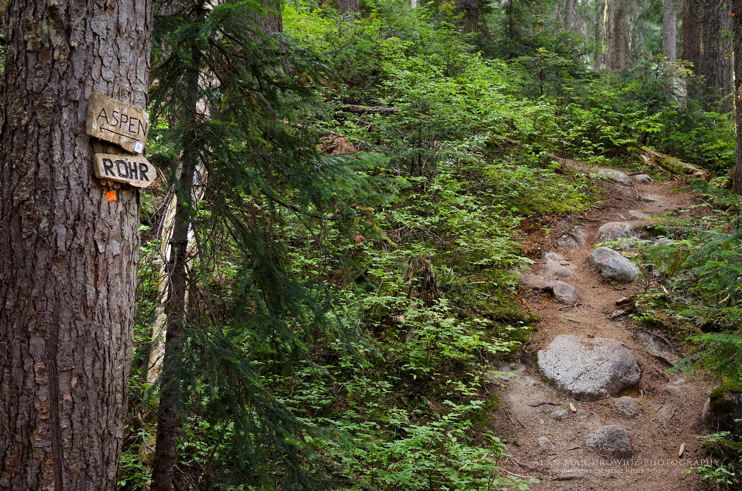
Marriott Basin trail Coast Mountains British ColumbiaMount Rohr junction #61905    Purchase

Marriott Basin trail Coast Mountains British ColumbiaCreek crossing, Marriott Basin Trail  #61892    Purchase

The next section of the trail climbs into the subalpine zone, or the boulder zone as I call it on this trip. As soon as you start breaking out of the trees the trail is almost constantly negotiating rocks and boulders. The constant ups and downs and zigzagging can be very tiring, especially in warm weather. However, the views also begin to open up now, above to the ridge tops and over to green Marriott Lake. After reaching the far end of the lake the last bit of climbing to the hut begins. Again, depending on your pack weight this section can feel short or agonizingly long. In all, it’s less than a mile and 200′ higher up. A level boulder-filled meadow with a meandering stream is home to the hut.
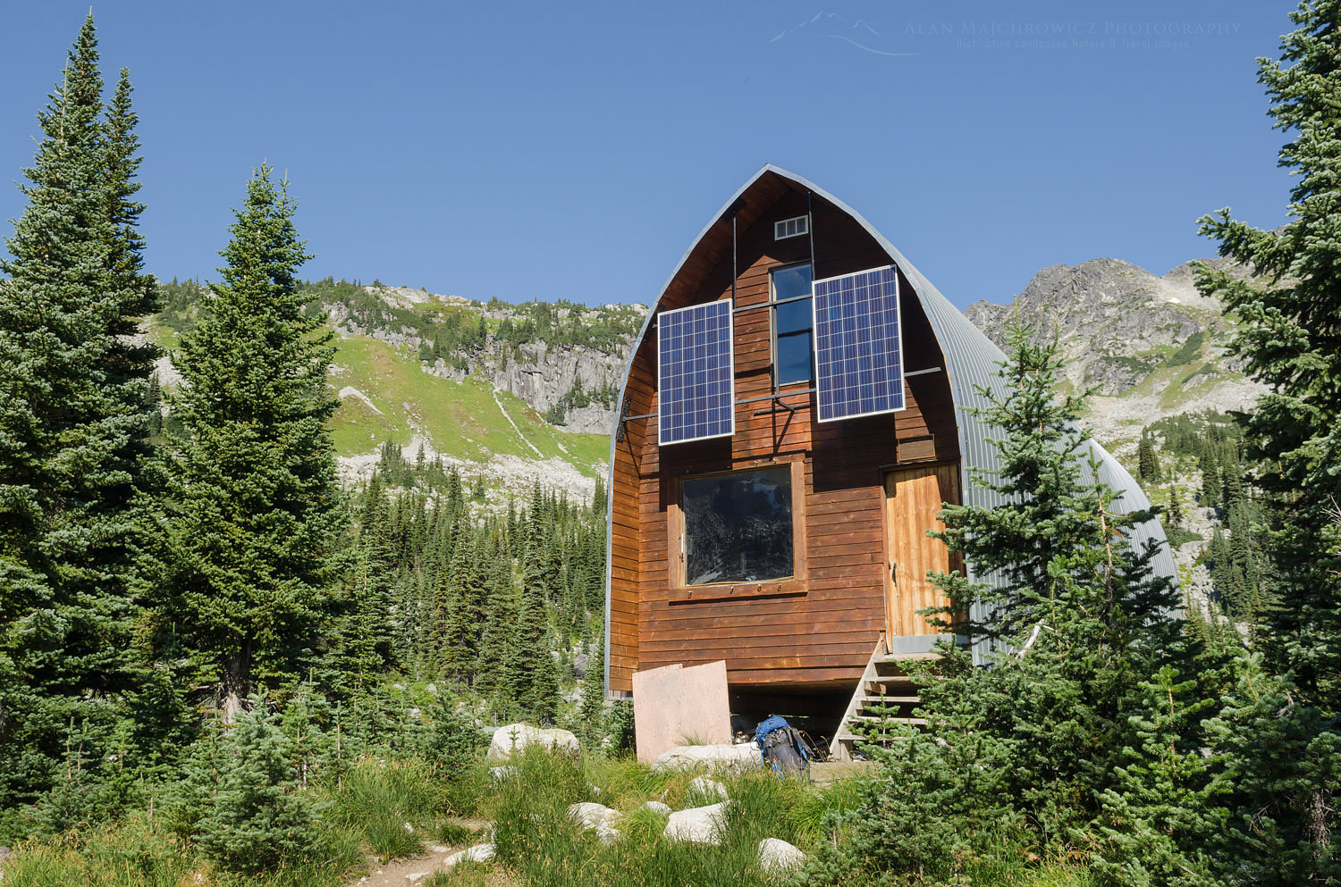
Wendy Thompson Hut British ColumbiaWendy Thompson Hut  #61793    Purchase

Wendy Thompson Hut

The upper lakes were my ultimate destination, so I only paused briefly for a rest and inspection of the hut. Wendy Thompson was a ski patroller and paramedic. She died tragically in 1995 at the age of 33 in a Medivac flight crash in the Queen Charlotte Islands. As a memorial and legacy to Wendy, her parents, and the ACC worked with volunteers to build this hut.

Since my last winter visit, the ACC made some substantial renovations. They extended the entire length and added solar-powered lighting and USB ports. They also replaced the obnoxious smell of kerosene heaters with a wood-burning stove. As is usual in backcountry huts one of the tables was covered in maps, guidebooks, and misc. reading material. Also present was the obligatory cribbage board and multiple decks of cards.

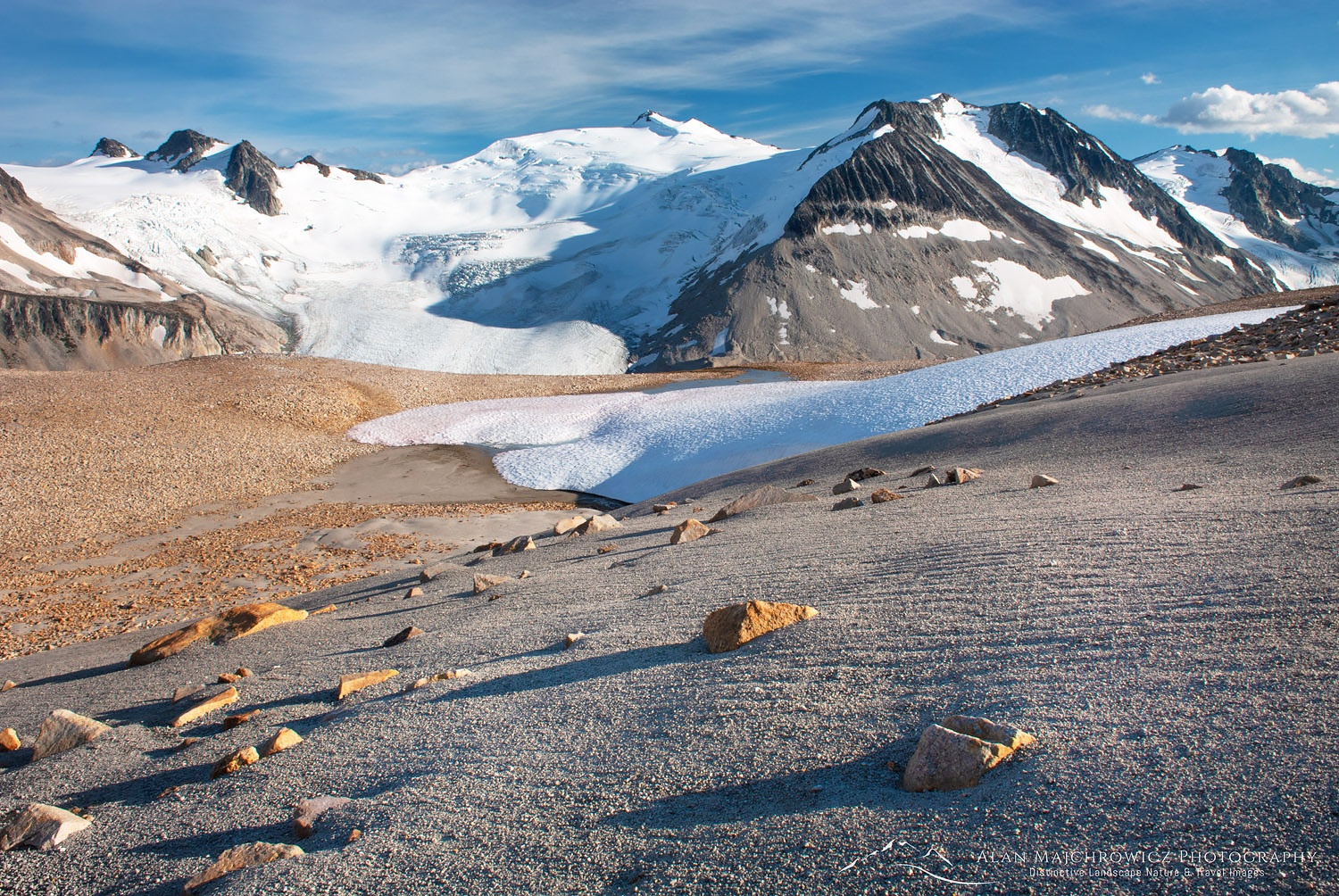
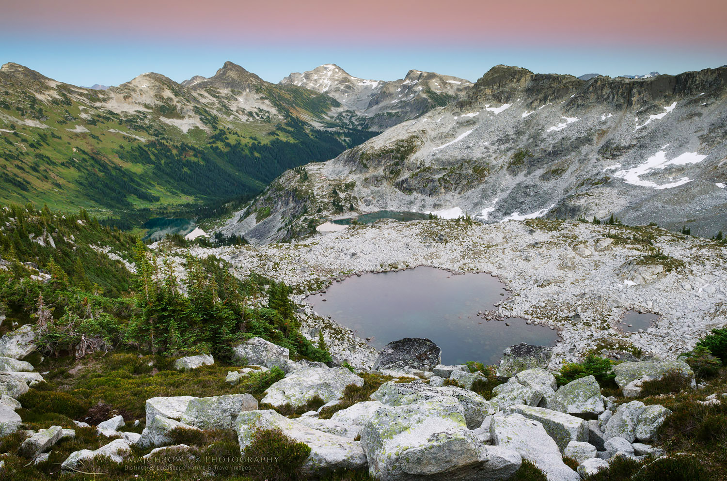
From the hut, the work begins again. Access to the upper lakes is via more and bigger boulder fields without the benefit of a trail. Some well-placed rock cairns mark the way but mostly it’s a pick-your-own-best route deal. Once at the upper lakes, it is wide open wandering in all directions. I set up camp in a spot suitable for easy access to photo ops of the distant peaks and valleys below.
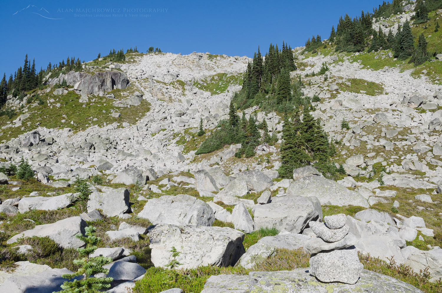
Boulders Marriott Basin Coast Mountains British ColumbiaBoulder field, cairn visible in lower right corner  #61849    Purchase

Upper Marriott Basin

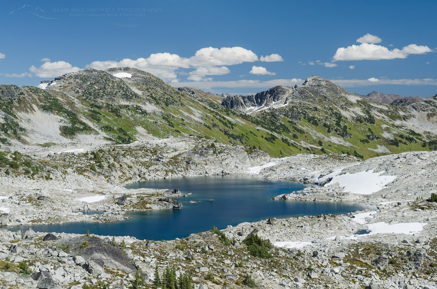
The next day I did some exploring and I set my eyes on an easy ridge within my comfort level. Hiking and easy scrambling over boulder slopes brought me to the crest with a new view to the west and north. One of the reasons I picked this particular ridge was for the unobstructed views of Cayoosh Mountain. Sitting at 8200″Cayoosh is a fairly bulky chunk of rock with the north and east aspects covered in glaciers. Looking down between me and Cayoosh was a high pass with a small green lake. To the north was a long deep valley with countless peaks on the horizon. Taking in such a view I immediately wished I had my camp set up here! Photographing in good light would be spectacular. I guess I will need to make another trip back sometime.

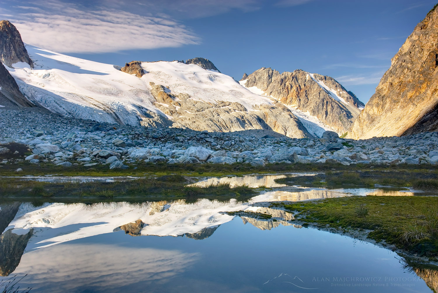
Later, back at my camp, I settled in to wait for the evening light. Although the sky was mostly free of clouds, there was some nice alpenglow present, which enabled me to take a few photos. It was nice to watch the progression of layered colors after sunset. First came yellows and oranges, followed by purples and blues of the Belt of Venus.
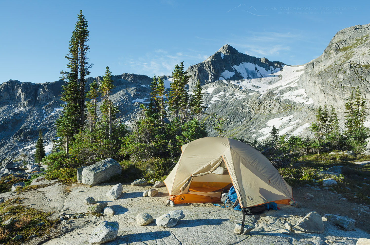
Backcountry camp Coast Mountains British ColumbiaCamping in Marriott Basin #61795    Purchase
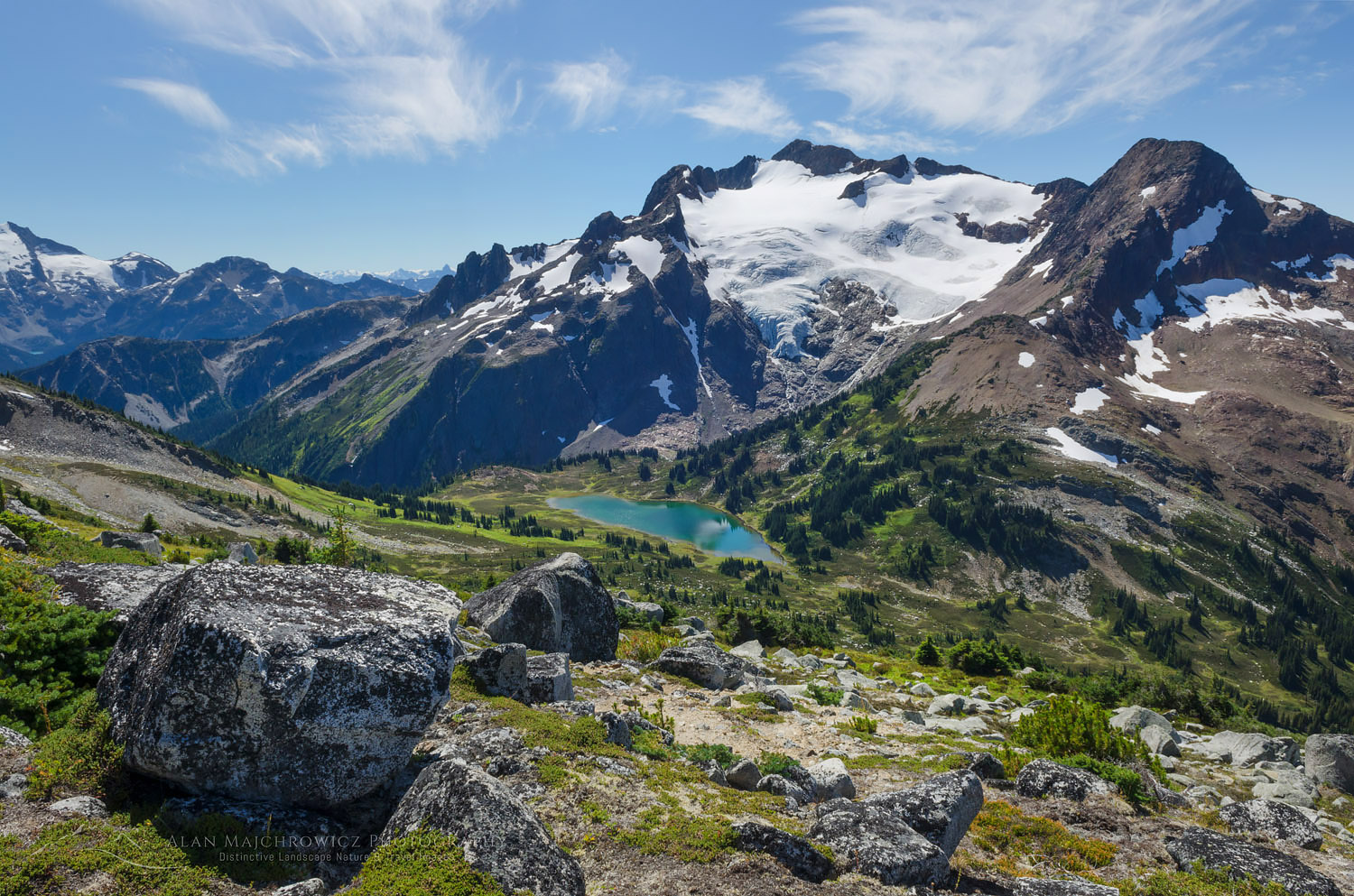
Cayoosh Mountain Coast Mountains British ColumbiaCayoosh Mountain #61805    Purchase

Marriott Basin Coast Mountains British ColumbiaUpper Marriott Basin #61815    Purchase

Back at the Hut

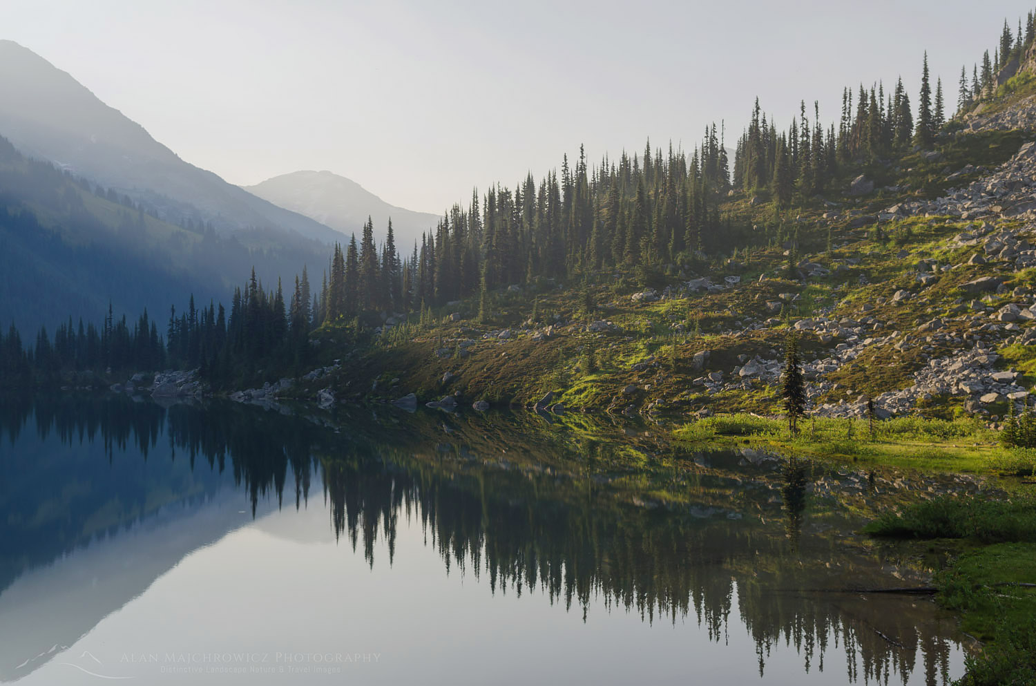
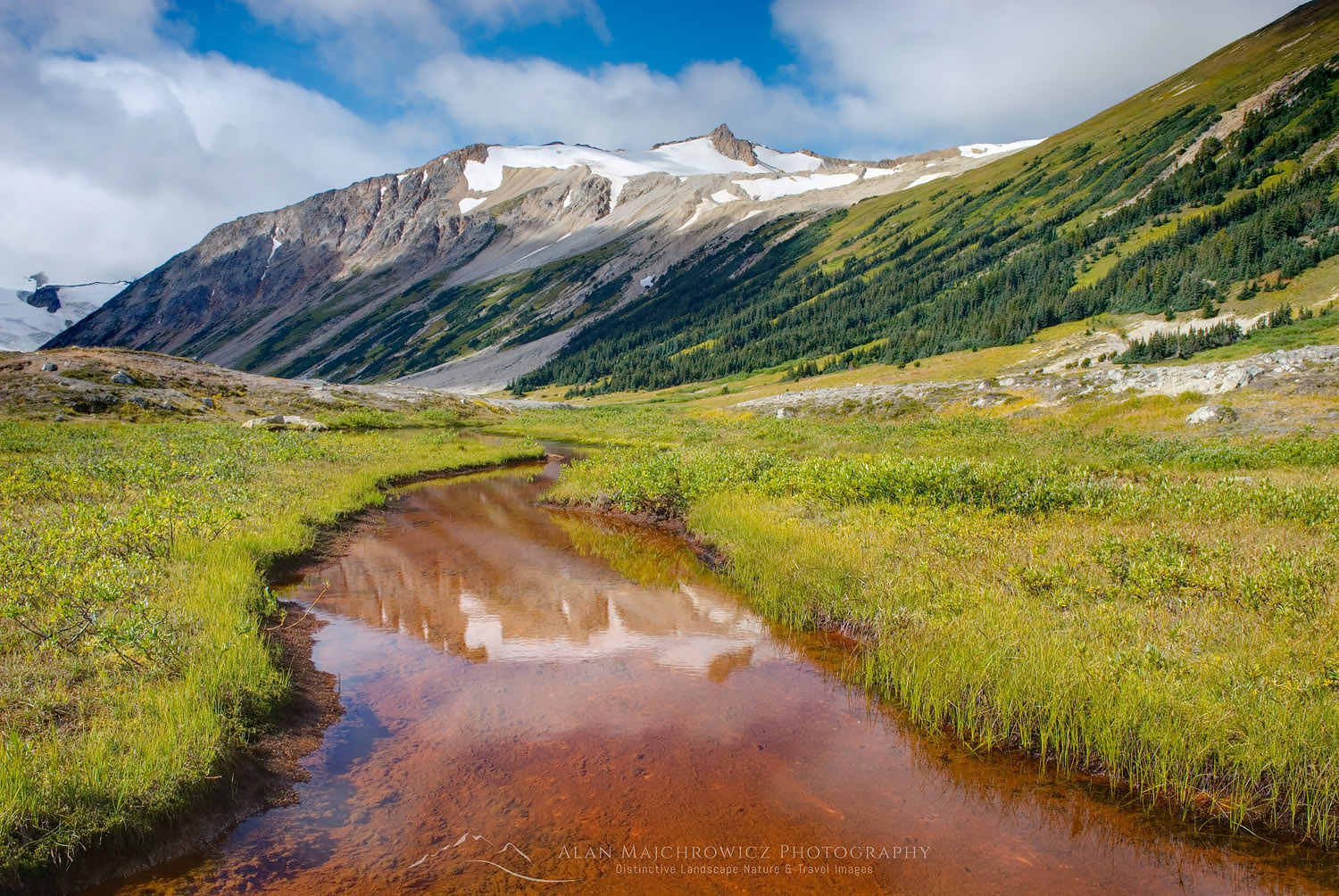
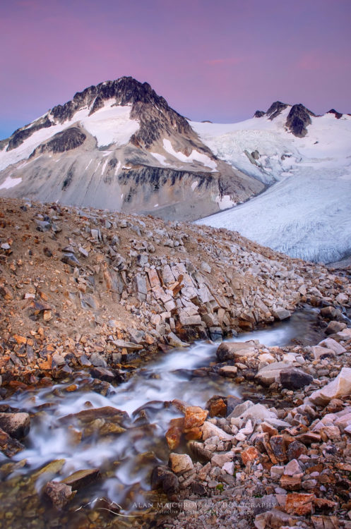
The next day I had planned to hike out to my truck but on exploring the area near the hut I decided to stay an extra night. Near the hut were small grassy meadows and a small stream among more boulders. I found a nice campsite near the small stream which held potential for some nice photographic compositions. I tried to take some evening photos but the light was bland, especially with no clouds. In the morning it was apparent that the winds had shifted. Smoke once again began to creep across the sky. Although there still weren’t any clouds the light was a bit nicer, with the smoky haze giving a more pastel hue to the scene. I set up my tripod in a few predetermined places and came away with several more photos.

I had a quick breakfast and packed up my gear. Although I wasn’t as successful with photos as hoped I did have a great time. And I did manage to find a new view that was worthy of a return trip.
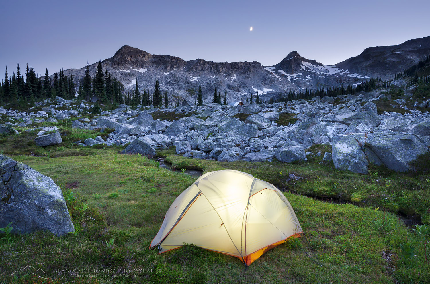
Backcountry camp Coast Mountains British ColumbiaMarriott Basin Camping #61863    Purchase

Marriott Basin, Coast Mountains British ColumbiaMarriott Basin #61871    Purchase

Lower Marriott Lake Coast Mountains British ColumbiaSmokey haze over Marriott Lake #61884    Purchase

Leave No Trace

Please, Please, Please!  Don’t plan a trip to this or any other national park, monument, or wilderness area unless you are prepared to follow Leave No Trace guidelines (LNT). National parks and wilderness areas worldwide are under incredible pressure from the growing number of visitors. So, please do your part to help preserve these precious areas for future generations!

Please visit the Leave No Trace Center for Outdoor Ethics to learn more about LNT’s principles. Your children and grandchildren will thank you!

LEAVE NO TRACE SEVEN PRINCIPLES

1. Plan and Prepare
2. Travel and Camp on Durable Surfaces
3. Dispose of Waste Properly
4. Leave What You Find
5. Minimize Campfire Impacts
6. Respect Wildlife
7. Be Considerate of Other Visitors
© Leave No Trace: www.LNT.org

Learn about how to protect the places we love to photograph
Visit the Nature First Website

Nature First the alliance for responsible nature photography


All photos appearing in this post are available for Commercial Licensing and Fine Art Prints. Click on any image to purchase, or contact me for more info!

Marriott Basin British Columbia

Marriott Basin trail Coast Mountains British Columbia

Coast Mountains

How to tell if you’re hiking in the Coast Mountains trail of British Columbia:

  1. State of the art bridges over creek crossing
  2.  Deep mud with slippery logs and branches strategically placed for optimum ankle twisting

I actually love these types of trails, there’s a sense of  true wilderness about them, unlike some of the crowded super highway trails found in Washington and Oregon. These pics are from a few days ago during a visit to Marriott Basin in the Coast Mountains.

I have lots of new photos in the works from this and my previous trip to North Cascades National Park. Stay tuned you’re going to love them!!

Marriott Basin trail Coast Mountains British Columbia


Marriott Basin trail Coast Mountains British Columbia

Icemaker Mountain Coast Mountains British Columbia

Athelney Pass Coast Range British Columbia

Athelney Pass Coast Range British Columbia

This article was originally posted back in August of 2008. Since my main summer photography trip for 2014 will be an extended visit to several very remote and seldom visited areas in British Columbia, I felt it appropriate to bring this one back to light. To date, this trip to the Athelney Pass Coast Range British Columbia was one of my favorite and most exciting in recent years. Despite an abundance of National Parks and Wilderness Areas in the Pacific Northwest, it is getting harder every year to find a place to visit and photograph that is relatively unknown and has a truly remote wilderness feel to it. The Athelney Pass/Salal Creek area fits the bill in all aspects, even though it has no wilderness park or protected area designation.

Begin original 2008 post:

Icemaker Mountain Coast Mountains British ColumbiaMount Ethelweard and  Icemaker Mountain #18242   Purchase

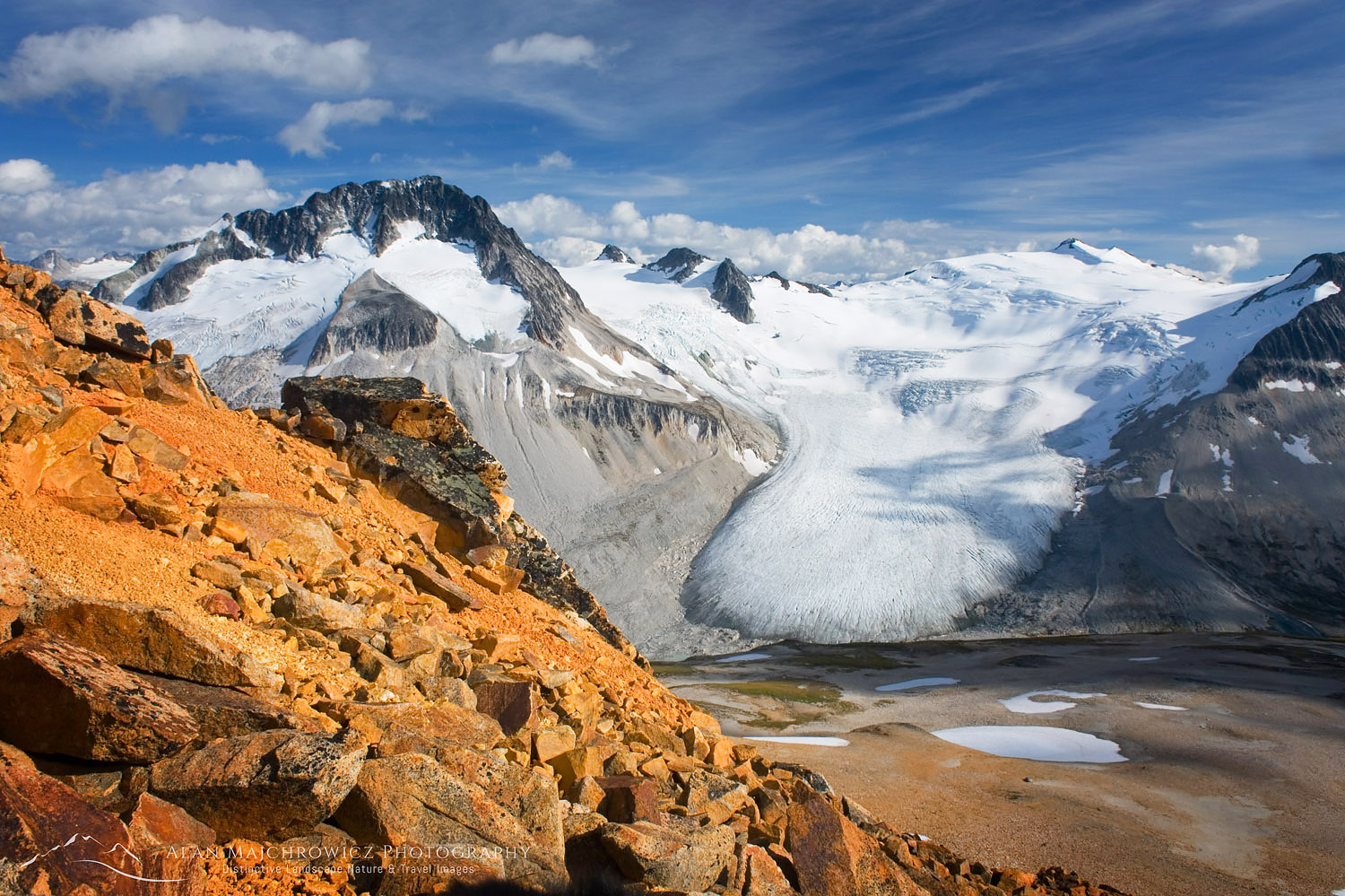
For the last six days, I’ve been working on editing all the new images from my recent trip to Athelney Pass in British Columbia’s Coast Range. This trip was one of the best and most productive amongst a string of excellent photo trips in 2008. So it’s worth adding a few words and pics about it. I was vaguely aware of this area until early last month while researching nearby Coast Mountain routes and trails on the web. It only took seeing a couple of photos on Google to convince me to make a trip there.

Salal Creek Coast Range British ColumbiaSalal Creek Coast Mountains British Columbia #17884

Researching Athelney Pass in a couple of guidebooks revealed that it wasn’t too far away. Just a 4-5 hour drive north of Bellingham. I felt four-six days would provide ample time for exploration and photography. Unfortunately (or maybe fortunately) there is no formal trail leading into this rugged wilderness. Meaning that the hike to Athelney Pass is only a modest 8-10 or so miles in length and 2200 feet elevation gain. However, it felt like it was about twice that much.

Athelney Pass Coast Range British ColumbiaAthelney Pass Mountains British Columbia #19083  

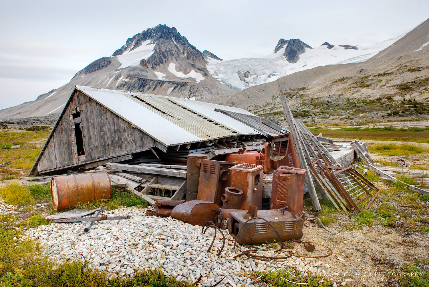
Mining cabin Coast Range British ColumbiaDerelict mining cabin and equipment at Athelney Pass #17979   Purchase

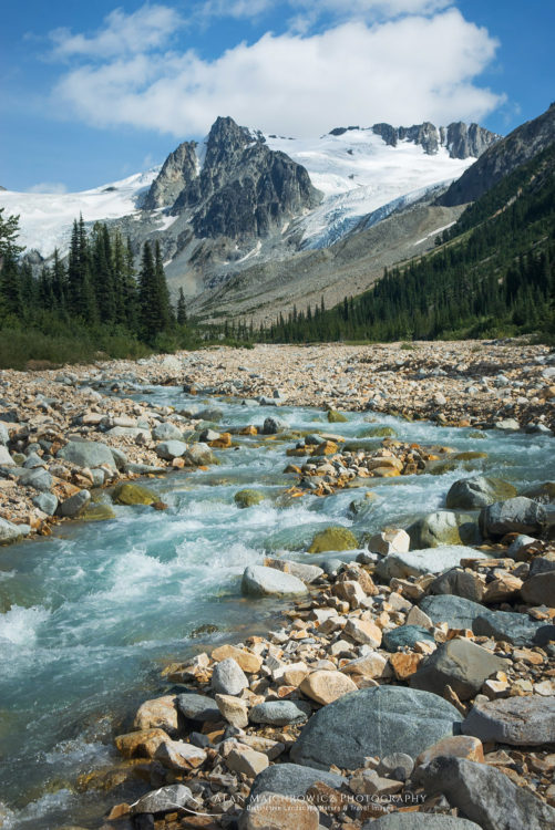
There are several sections requiring route-finding in the forest. Along with a couple of torturous sections of bashing through thick nearly impenetrable slide alder. The rest of the route is “easy” hiking in open country along the river bank and steep loose glacial moraines. If your definition of easy is hiking for miles on unstable ankle-breaking rocks the size of baseballs and bowling balls! All of this plus a lengthy logging road access meant that I had the whole area mostly to myself. I only saw one other person in six days and that was from a distance. The only other downside to this trip was encountering discarded items from past mining exploration.  There is a derelict cabin rusting equipment, plus discarded barrels of fuel higher up the ridge.  (By 2014 all this may have been cleaned up since my 2008 visit)

Athelney Pass Coast Mountains British ColumbiaAthelney Pass British Columbia #18127  Purchase

As an added bit of excitement, I came across a very large Grizzly Bear on the road as I was driving out after the hike. I’ll never doubt the speed at which these animals can run. I was driving a gravel road when it burst out of the brush in front of my vehicle. It took off down the road at an accelerating speed before disappearing into the brush again.

So if you are looking for a new place to go hiking away from the crowds with a true feeling of raw wilderness, and don’t mind putting in the extra effort this area might be for you.

Icemaker Mountain Coast Mountains British ColumbiaIcemaker Mountain  British Columbia #18270  Purchase

Mount Ethelweard Coast Mountains British ColumbiaMount Ethelweard  British Columbia #18545   Purchase

Salal Divide, Coast Range British ColumbiaSalal Divide British Columbia #18545   Purchase

All photos are available for purchase as fine art prints or for commercial licensing. Just click on the desired image and then click Add to Cart to select your option.

Thanks, and please share if you like it!

Marriott Basin, Coast Mountains British Columbia

Marriott Basin Winter Photography

Marriott Basin Coast Mountains Winter Photography

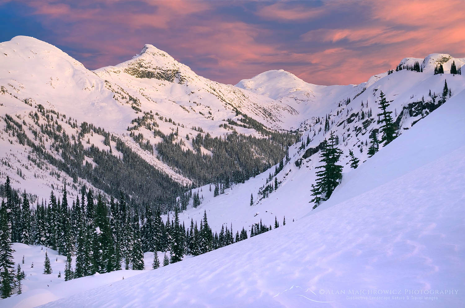
Marriott Basin, Coast Mountains British ColumbiaCoast Mountains Sunset British Columbia 50319  Purchase

Yesterday I finished editing and uploading all the new images from my recent Marriott Basin Coast Mountains Winter Photography trip in the Coast Mountains of British Columbia. On this trip, I was honored to be accompanied by Vancouver Photographer Adam Gibbs. I don’t know if Adam somehow brought along a good measure of luck since we enjoyed several outstanding displays of light during our stay.

Marriott Basin has been on my must-visit winter list for several years now. However, it has been routinely put off due to poor snow and weather conditions. This year, following a series of storms, forecasts showed an extended period of good weather. I knew it was time to make the trip.

Wendy Thompson Hut in winter Marriott Basin, Coast Mountains British ColumbiaWendy Thompson Hut Marriott Basin British Columbia 50424  Purchase

Skiing to the Wendy Thompson Hut in Marriott Basin

The base camp for this trip was to be the Wendy Thompson Hut, operated by the Whistler section of the Alpine Club of Canada. Wendy Thompson was a ski patroller and paramedic. She died tragically in 1995 at the age of 33 in a Medivac flight crash in the Queen Charlotte Islands. As a memorial and legacy to Wendy, her parents, and the ACC worked with volunteers to build this hut.

I routinely use skis to access many winter backcountry locations, but I’m not the most graceful or competent skier. Especially when carrying a multi-day pack loaded down with camera gear! Since we were staying at a hut I didn’t need to pack a tent or a few other items, however, my pack was still heavy with camera gear and extra winter clothing. Fortunately, due to several parties exiting the hut the day before we arrived, we didn’t need to break the trail through deep snow.

Wendy Thompson Hut in winter Marriott Basin, Coast Mountains British ColumbiaWendy Thompson Hut Marriott Basin British Columbia 50328  Purchase

The first mile or so is easy, traveling along a summer access road. Soon after the road ends the real work begins. Almost immediately the route tackles a steep forested headwall. This section is hard enough in summer, but in deep snow with a heavy pack and skis, it becomes a grueling task. Sooner than it seems the grade eases up and the forest begins to open up. From here to Lower Marriott Lake there are several areas of possible avalanche danger.

At the head of Lower Marriott Lake is the last steep section to climb before reaching the hut. After several hours of hard work, the sight of the hut is a welcome relief!

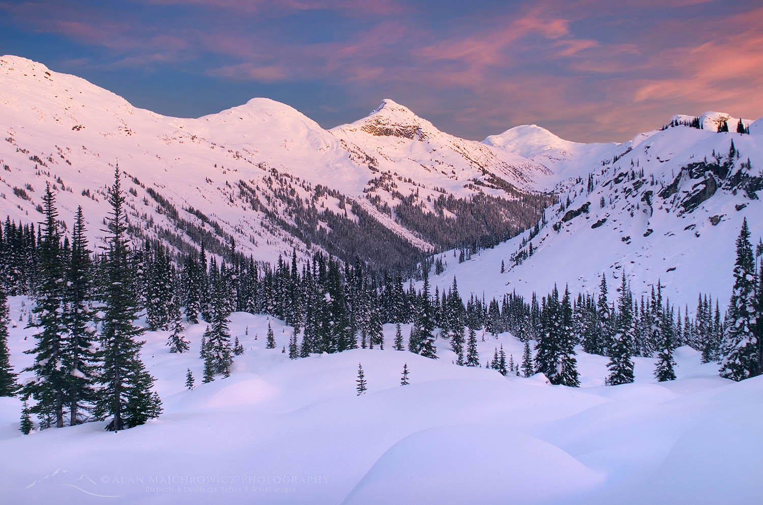
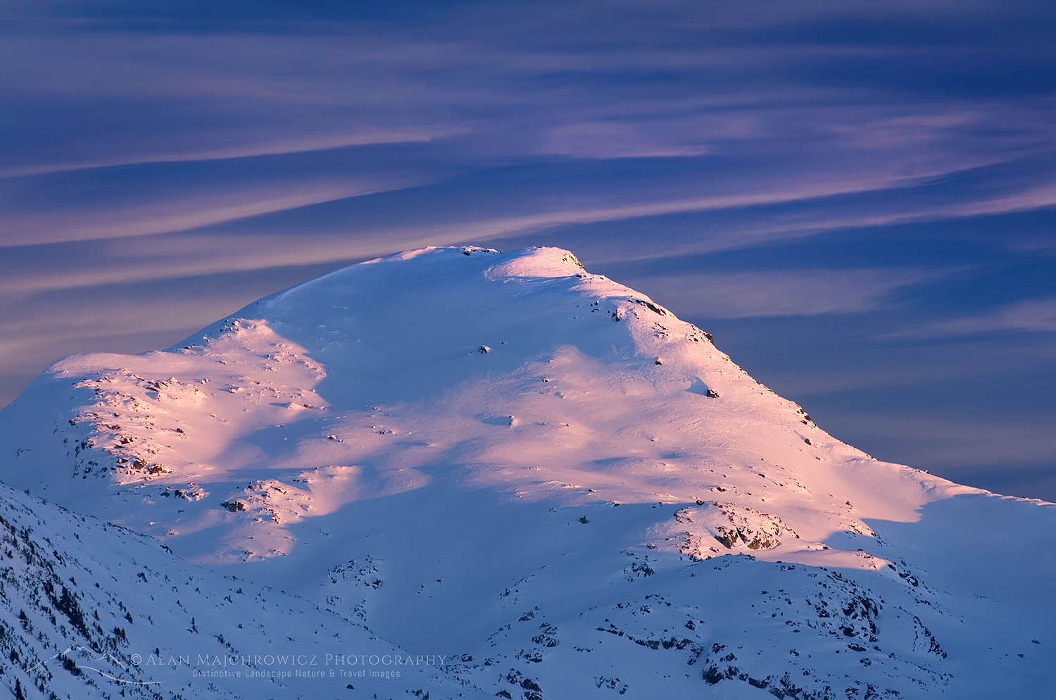
Marriott Basin in winter, Coast Mountains British Columbia CanadaWinter Alpenglow over Marriott Basin British Columbia 50319  Purchase

Evening Photography at Marriott Basin

Upon arriving at the hut, settling in, and quenching our thirst with hot drinks, it was time to scout out nearby photo locations. When we started earlier in the day the sun was shining in a blue sky with a few wisps of high-altitude clouds. However by the time we arrived at the hut clouds had moved in, turning the sky a solid grey. Fortunately, within a few minutes of checking out possible locations, the sun broke briefly through the clouds. The surrounding peaks were wearing a warm glow, and I knew it was time to get to work. I quickly managed to find a knoll close by that afforded an unobstructed view of the basin and peaks with some good foreground material to work with.

After setting up the first few photos it became apparent that the clouds were beginning to dissipate to create all the elements for an epic sunset and alpenglow. I quickly got into the zone and worked hard at composing as many different images as possible. Considering all the cloudless smoke-hazed locations I experienced last August and September this was payback time in a big way!

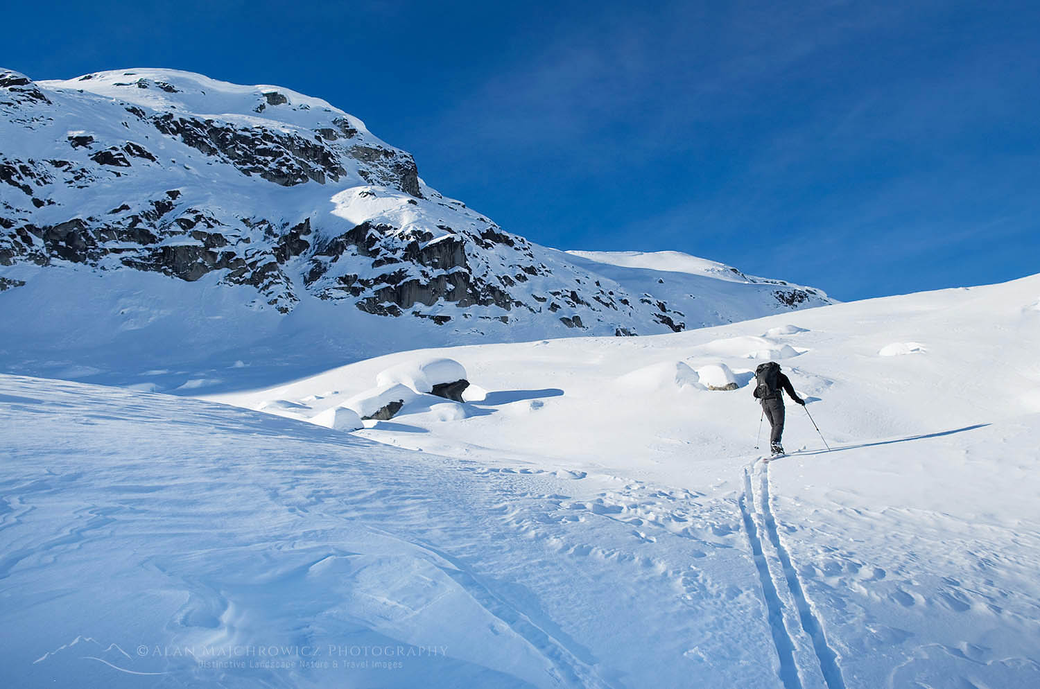
Backcountry ski touring in Upper Marriott Basin in winter, Coast Mountains British ColumbiaMarriott Basin ski touring 50336 Purchase

Touring  Upper Marriott Basin

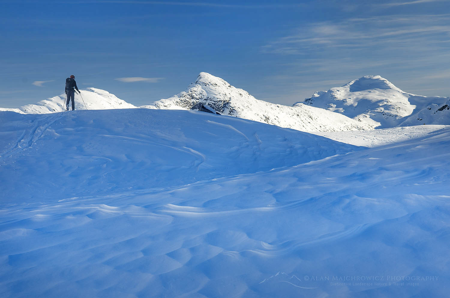
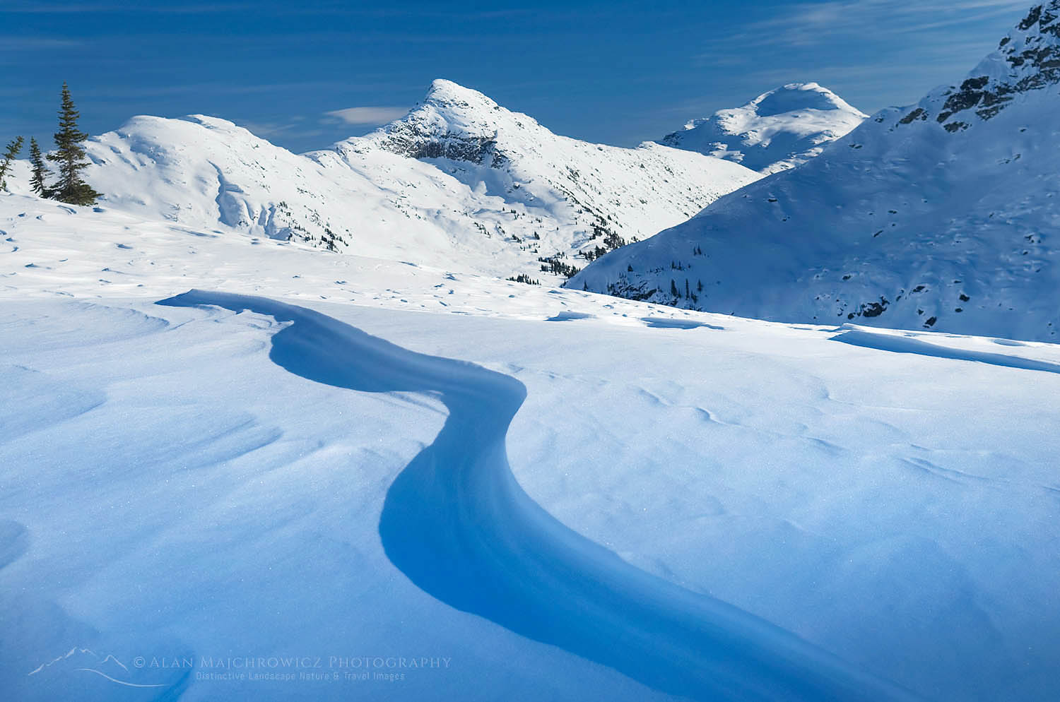
The next day Adam and I went on a short ski tour to explore the upper basins above the hut. Shortly above the hut the terrain enters a true alpine landscape with wide open views in all directions. Carrying only a day pack on mostly hard-packed snow the skiing was very pleasant, and I took my time to enjoy it all! In summer this area is filled with endless boulder fields and small lakes. However, in winter this is all covered in snow, which the wind has blown into beautiful shapes and patterns.

Backcountry ski touring in Upper Marriott Basin in winter, Coast Mountains British ColumbiaMarriott Basin ski touring 503353 Purchase

Mount Rohr, Coast Mountains British ColumbiaWinter sunset over Mount Rohr #50381

Later in the day the light once again put on a grand display. The clouds on this evening appeared stacked in layers as the setting sun illuminated them. This time I worked mainly with short to medium telephoto compositions to close in on the clouds behind the ridges so as not to duplicate the wide-angle photos from the first evening.

If You Go

The hut in Marriott Basin is a little less than 5 miles in with around 1600′ elevation to gain. The trailhead to the hut is at Cayoosh Pass about an hour northeast of Whistler. You must contact the ACC of Whistler to reserve a place for a nominal fee. They will also provide you with access details.

The hut is heated by a wood stove and is equipped with pots, pans, and eating utensils. However, you’ll need to provide your own stove and fuel to cook with. There is also electricity via solar panels and even USB outlets. Make sure you bring a good winter sleeping bag, in case there is no wood left for the stove or enough bodies to heat the hut.

In winter backcountry skis, snowshoes, or split-boards are your best options. Skinny cross-country skis are not a good option. Also, carefully consult the most recent avalanche reports before you go.

It also should be noted that the entire area surrounding Marriott Basin offers excellent ski touring opportunities. While this trip was primarily for landscape photography, there are countless downhill runs for skiers to explore. Everything from safe and easy, to life-threatening expert lines. An excellent map of the area is available through Backcountry Skiing Canada.

Upper Marriott Basin in winter, Coast Mountains British ColumbiaMarriott Basin Coast Range British Columbia 50356
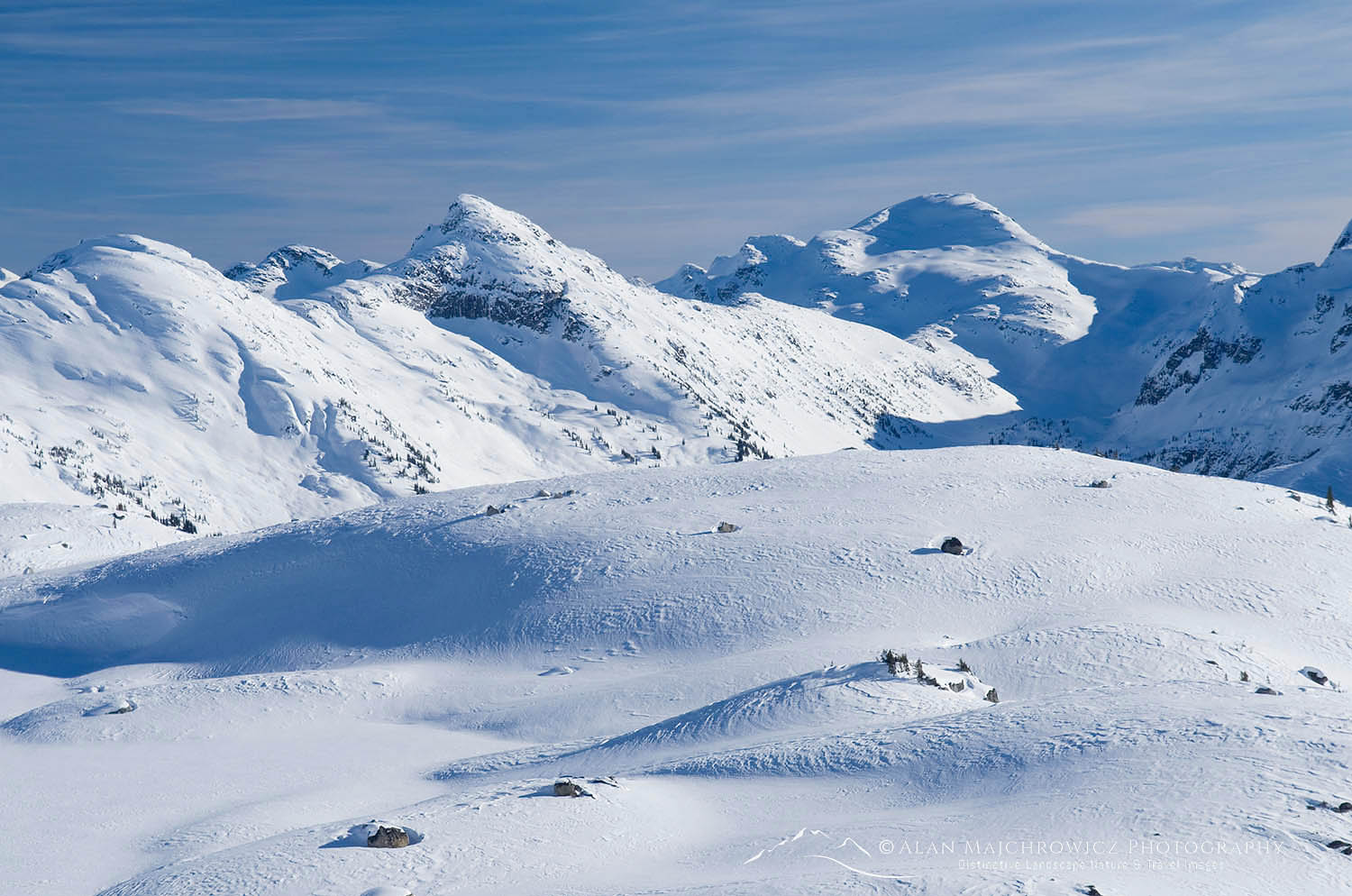
Upper Marriott Basin in winter, Coast Mountains British ColumbiaUpper Marriott Basin Coast Range British Columbia 50352
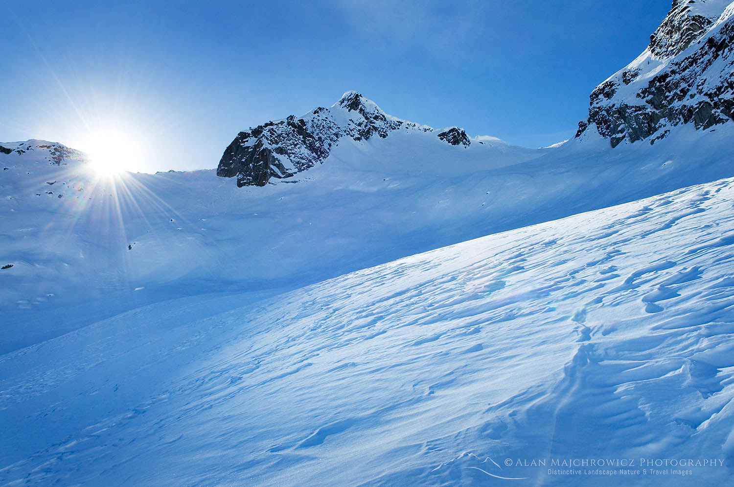
Upper Marriott Basin in winter, Coast Mountains British ColumbiaUpper Marriott Basin Coast Range British Columbia 50343

Marriott Basin Winter Photography