Mount Shasta

Mount Shasta Pluto’s Cave

Mount Shasta Pluto’s Cave

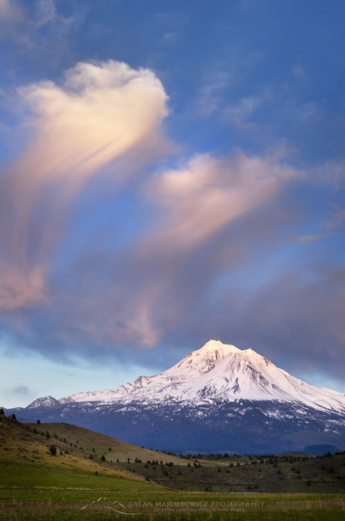
Mount ShastaMount Shasta #60134  Purchase

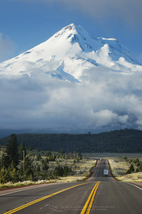
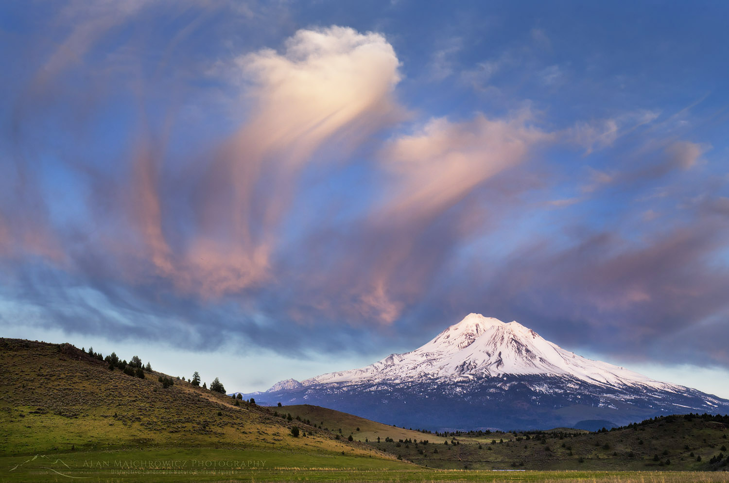
Mt. Shasta is one of the most strikingly beautiful mountains in the Cascades. At 14,179 feet it is the second highest in the range. It is also a sacred mountain of the Klamath tribe. On my way south to the California coast I made a point of setting aside a few days to photograph this beautiful peak. In the image above I was lucky enough to arrive in the area just in time to photograph the mountain while bathed in evening light. The next morning I headed to U.S. Highway 97 for a view of the mountain as a backdrop for the road. Fortunately the morning fog lifted just long enough to make this compressed view image.

Mount Shasta, U.S. Highway 97Mount Shasta from U.S. Highway 97 #60144  Purchase

Pluto's Cave Mount Shasta CaliforniaPluto’s Cave  #60164  Purchase

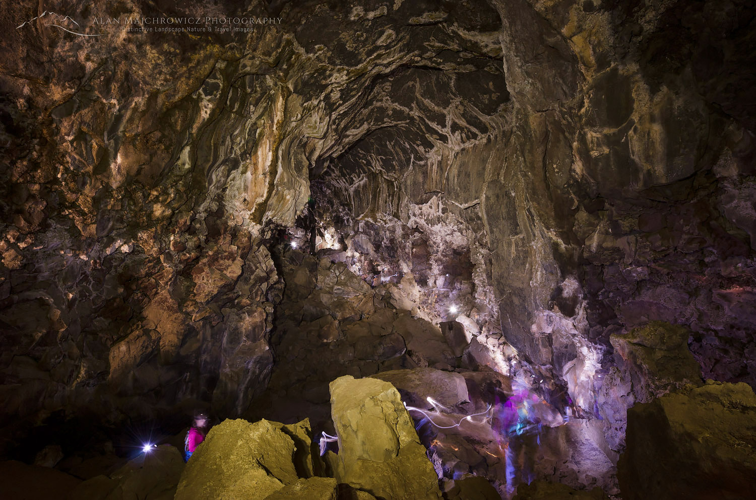
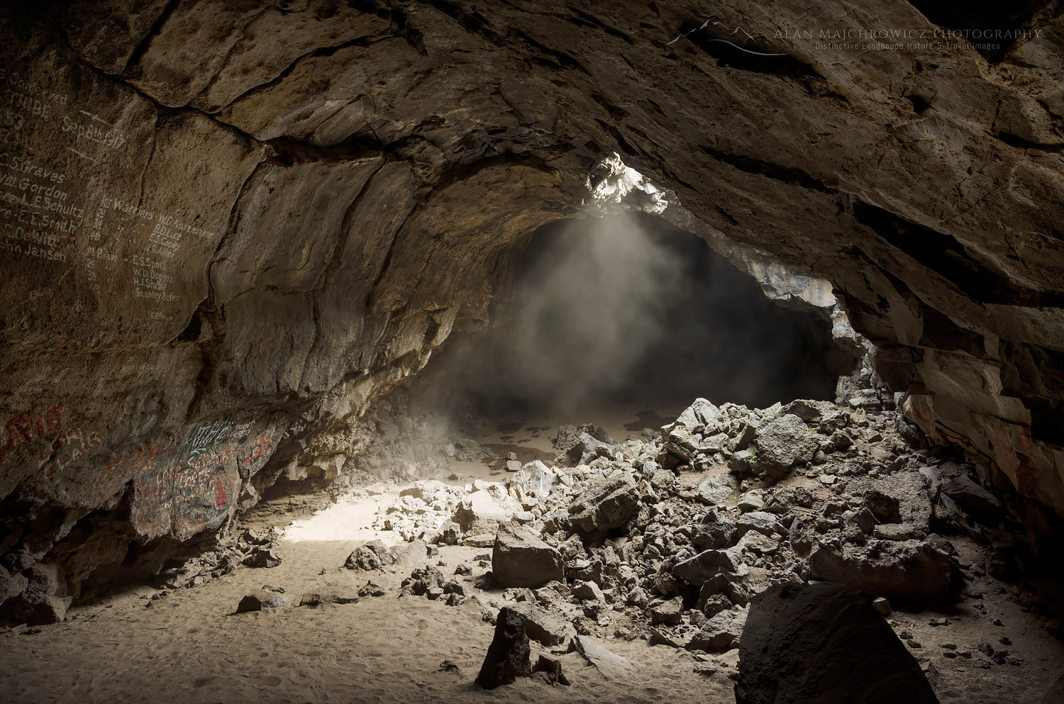
As an enthusiast of all types of caves I was thrilled to learn about and visit Pluto’s cave while photographing in the Mount Shasta area. This cave is really just a large Lava tube created by a past eruption of Mount Shasta.

While checking out the main chamber a group of people passed by to explore the further reaches of the cave. I quickly set up my camera in hopes of making an interesting image. Having no idea how long of an exposure it would take so I just took a guess by leaving the shutter open for 7.5 minutes. I also used my headlamp to “paint” light on the ceiling and walls.

The coolest thing about this image is that the group of people were there to meditate. On finding suitable spots they turned off their headlamps and the leader began singing Native America chants in total darkness. A wonderful experience I’ll never forget.

Pluto's Cave Mount Shasta CaliforniaPluto’s Cave  #60158  Purchase

Mount Shasta Pluto’s Cave


Mount Shasta California

New Images Mount Shasta

New Images Mount Shasta

Mount Shasta CaliforniaMount Shasta #60133    Purchase

I’m still working on the long process of editing all the new images from my recent trip to California and Oregon. However, there are some obvious highlights I’m anxious to share, this photo of Mount Shasta being one of them.

Making this photo was one of those lucky close calls. After driving south all day from Hood River Oregon I noticed some interesting clouds developing as I approached the California state line. Nearing the town of Weed CA it became apparent there was going to be some good light over Mount Shasta. However I was still miles away and not familiar with the area. Taking a clue from my trusty guidebook, Photographing Northern California by Gary Crabbe, I sped down a nearby ranch road and managed to set up my tripod just in time to make several exposures.

I’m pretty happy with the results, but further scouting the next day revealed an even better composition just a mile further down the same road. There was even an exit on I-5 that could have gotten me there faster. Oh well, there’s always a next time.

Image Lake Glacier Peak North Cascades

Glacier Peak and Image Lake

Image Lake and Glacier Peak

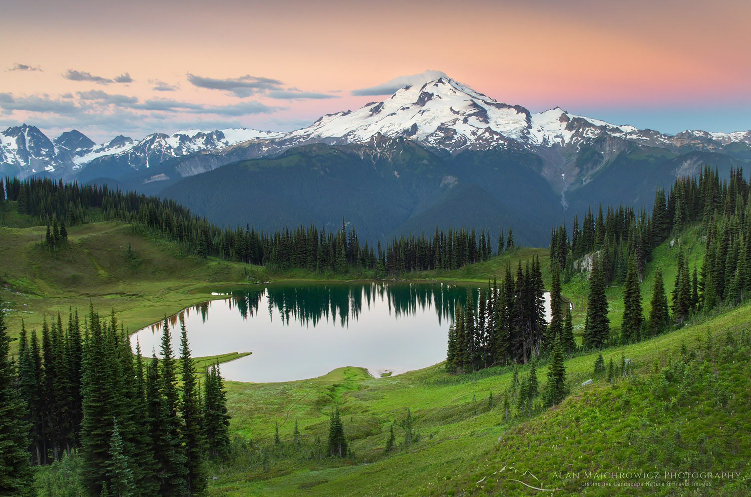
Image Lake Glacier Peak North CascadesGlacier Peak Image Lake #58240   Purchase

Image Lake Glacier Peak North CascadesImage Lake Glacier Peak  #58240   Purchase

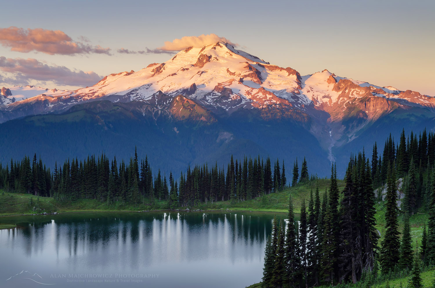
Recently I made a five-day backpacking trip to one of my all time favorite areas in the North Cascades, Image Lake . Located in the Glacier Peak Wilderness this is one of the classic views of lake mountain glacier in the Northwest. Image Lake is rivaled only by a few other spots such as Picture Lake/Mount Shuksan, and Tipso Lake/Mount Rainier. The big difference here is that you’re not likely to run into crowds, or more than a couple other people for that matter. My last visit to this outstanding location was back in 2000 and I’ve been wanting to get back there ever since.

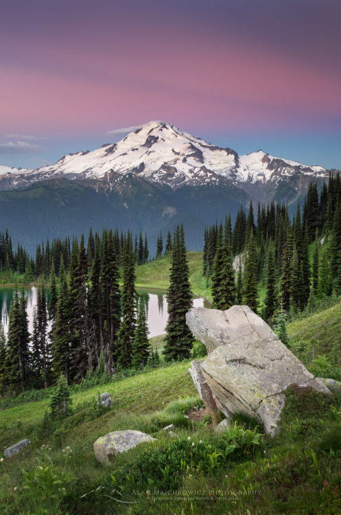
Image Lake Glacier Peak North CascadesGlacier Peak  Image Lake #58248   Purchase

Due to a series of winter floods, subsequent lack of repair funding, and environmental studies, the Suiattle River access road has been closed for nearly 12 years. I’m not very optimistic that the road will remain open for long. The whole length of the river valley is made up of ancient volcanic debris from past eruptions of Glacier Peak. During the rainy fall and winter months the river routinely eats away at this easily eroded material. Despite extensive repairs there are still several areas where the road is still very vulnerable. It won’t take much, I’m afraid, to put it out of commission again.

Hiking In

Image Lake on Miner’s Ridge is a fairly long backpacking trip that requires at least several days to justify the effort. The total roundtrip mileage is about 32 miles with 4500′ of elevation gain, most of it in the last five miles. Of course there is much more to see than just plopping down at the lake so figure on adding several more miles and another thousand feet or so of elevation to that. On all three of my visits I encountered parties that did it in two days. However, I really don’t see the point of carrying a full load that far and high to take a quick look around and head back the next day. I consider three days a minimum.

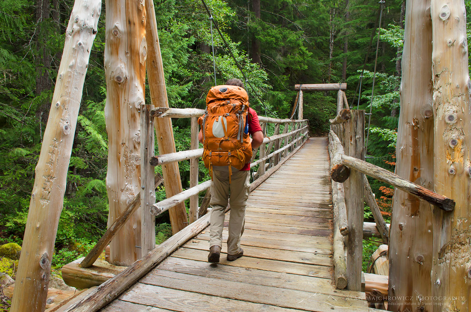
Hiker on suspension bridge Suiattle River Trail North CascadesBackpacker on Canyon Creek Bridge #58176   Purchase

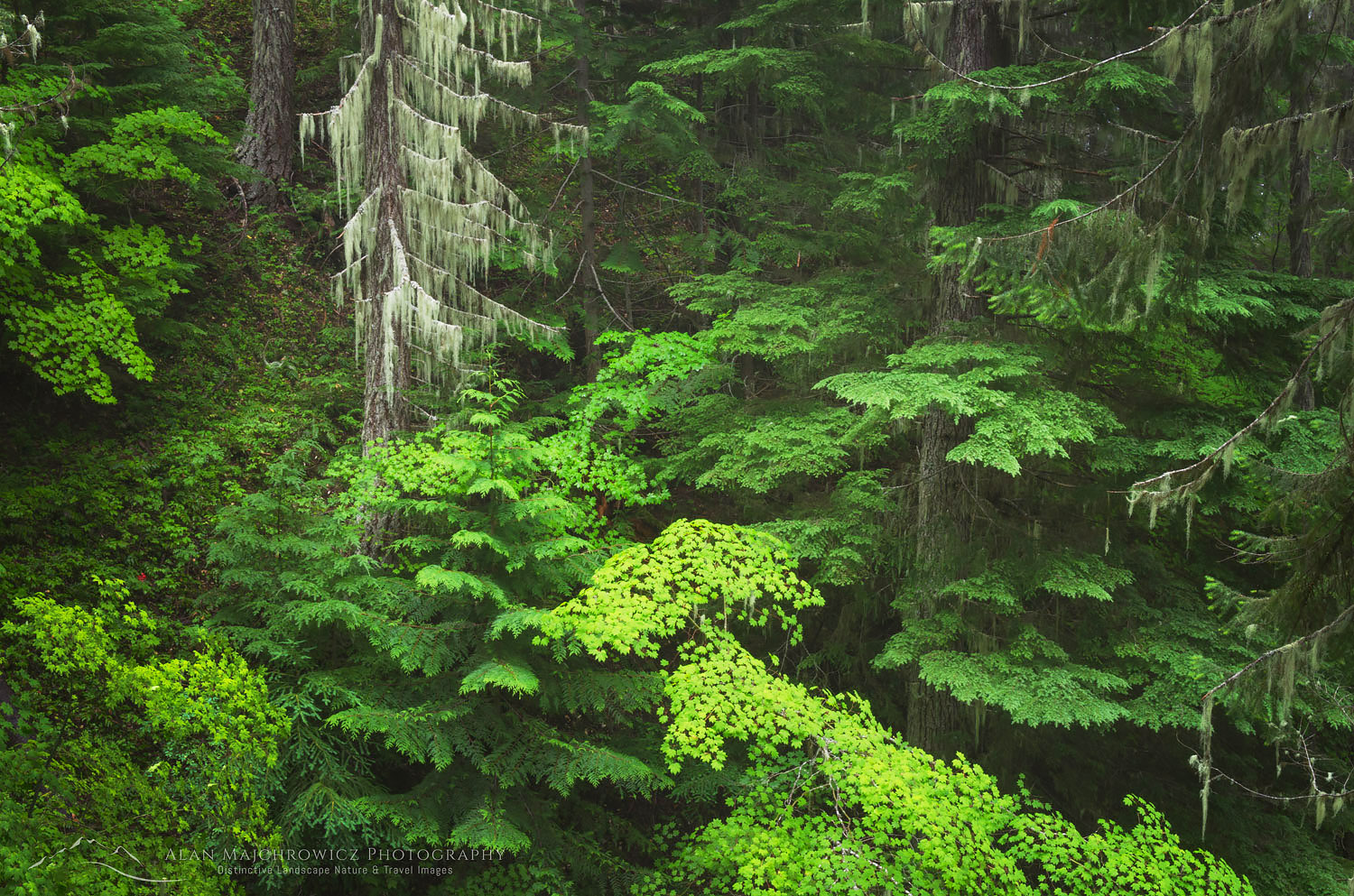
The first nine or ten miles travels along the Suiattle River through gorgeous old growth forest with massive trees. One of the highlights comes when crossing Canyon Creek on a very well built suspension bridge. Such a large and sturdy structure is rare in the wilderness. Horses also use this trail so it needs to be able to stand up to heavy weights. At around ten miles the real work begins, non-stop switchbacks from the river valley to the top of the ridge. Fortunately the upward grind is in the shade of forest almost all the way up. On this trip it was fairly cool with heavy overcast and fog. However, the intense humidity had me sweating like a pig while just putting my packing on! When I got to camp I was soaking with sweat.

North Cascades Old Growth ForestOld Growth Forest Glacier Peak Wilderness #58192   Purchase

At The Lake

Image Lake itself is nothing to go out of your way to see. It’s a very shallow lake which has a soft sediment bottom, and is usually covered with hatching insects in summer. Image Lake is not the best for swimming, but good to cool your toes off. The real reason that makes the lake so special is its situation on Miner’s Ridge. At about 6000′ high it has a perfectly placed front row seat view of the heavily glacier-cloaked NE face of Glacier Peak.  At 10,541′ Glacier Peak is the most isolated of the five volcanoes in Washington.  It is definitely one of those views you could just sit for hours or days admiring. And since it so far out you’ll most likely have it to yourself! On this trip I had the whole ridge and lake basin to myself for two whole days.

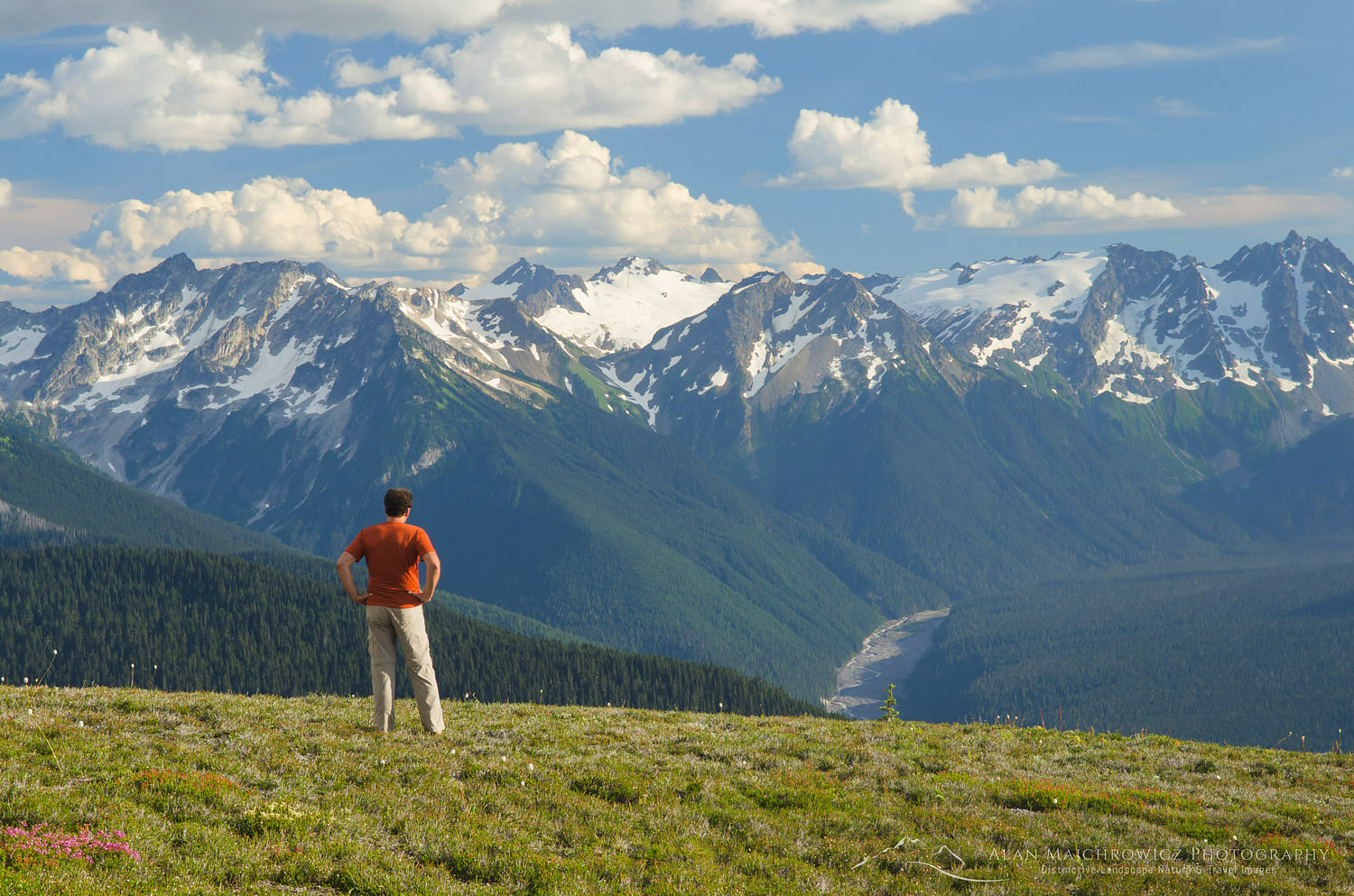
Hiker Glacier Peak Wilderness North cascadesUpper Suiattle River Valley from Miner’s Ridge #58279   Purchase

If you are looking for a truly extraordinary wilderness experience then spend a day or two at the lake before heading east along Miner’s Ridge. This route traverses through high meadows to Suiattle Pass and beyond to Cloudy Pass and glacier fed Lyman Lake. Nearly the entire length of the trail is above tree-line.  Along the way you’ll travel through some of the most astonishing mountain scenery in the North Cascades accessible by trail. Seven to ten days would be perfect to enjoy such a trip and you’ll have memories to last a lifetime.

If you’d like to purchase prints or license any image for commercial use just click on any image or search by keyword.

Glacier Peak and Miners Ridge

North Cascades backcountry camp Miners RidgeCamp on Miner’s Ridge, Dome Peak in distance #58268   Purchase

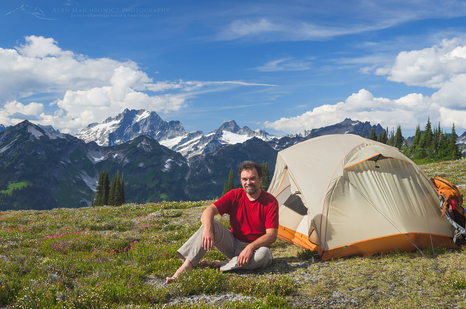
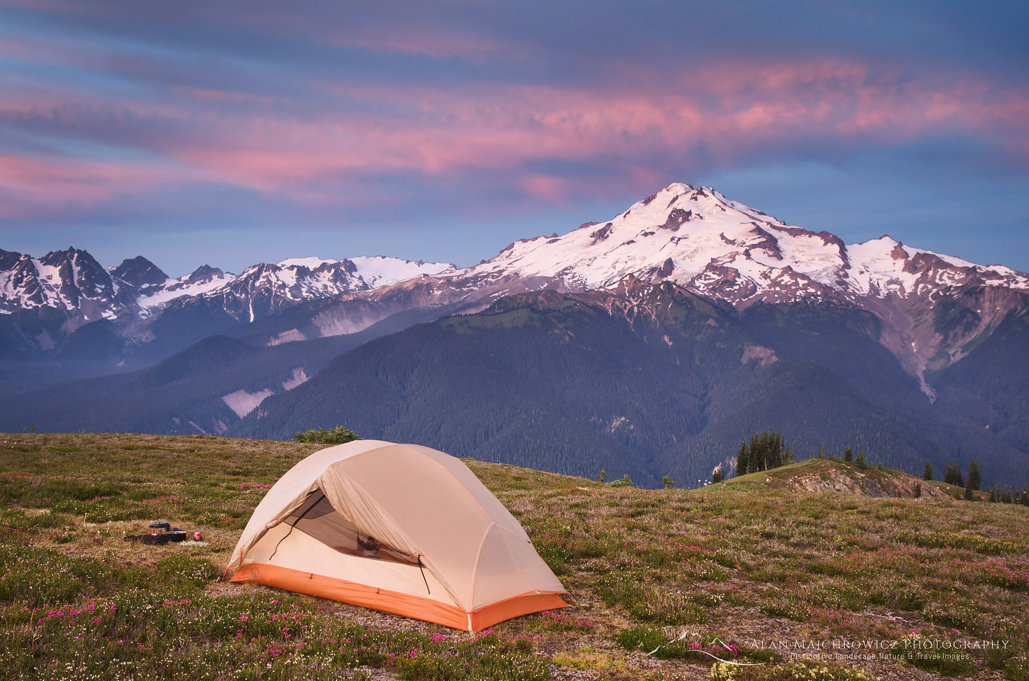
Glacier Peak Wilderness backcountry camp Miners Ridge North CascadesMiner’s Ridge camp, Glacier Peak in distance #58317   Purchase

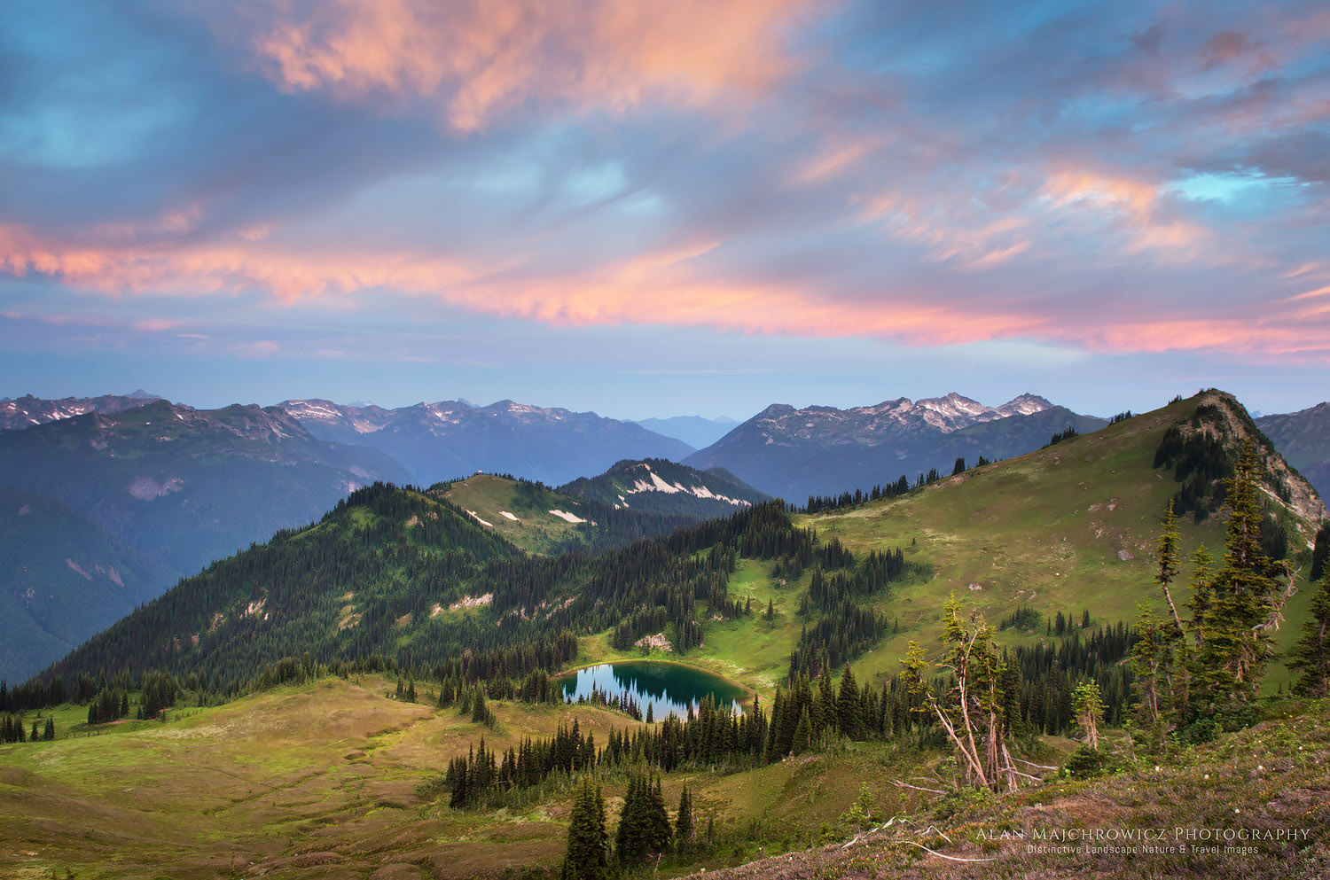
Image Lake Glacier Peak Wilderness North CascadesMiner’s Ridge and Image Lake #58322   Purchase
 

Bastille Ridge and Coleman Glacier from meadows onHeliotrope Ridge, Mount Baker Wilderness North Cascades Washington #54533

Mount Baker Wilderness Heliotrope Ridge

Mount Baker Wilderness Heliotrope Ridge

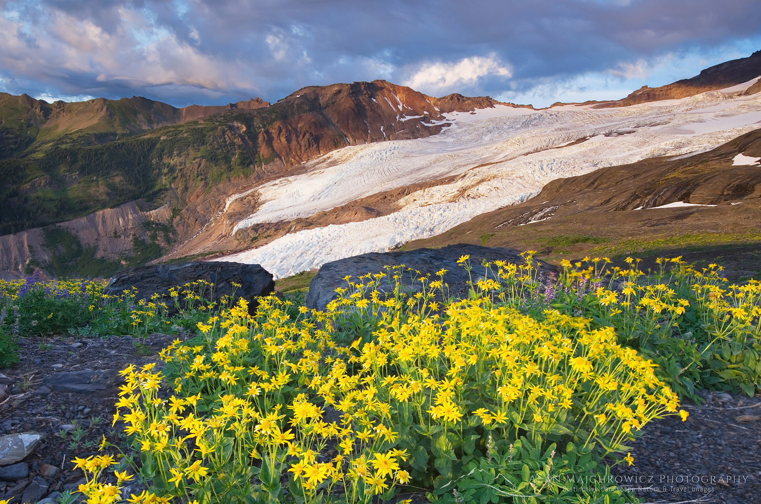
Meadows of Heliotrope Ridge North CascadesColeman Glacier, Heliotrope Ridge Wildflowers #54421  Purchase

Summer is nearly over, and now that we’re in that exciting pause before the coming fall season I have some time to catch up on a few posts I’ve been too busy to work on. If you’ve been following my updates you’ll know that most of the height of summer was spent close to home. Specifically the Mount Baker Wilderness of the North Cascades. Fortunately for me, this wilderness is only an hour or two drive from my home. Practically in my backyard. During the month of August, I photographed the following areas accessed via the Mount Baker Highway:

  • Church Mountain
  • Skyline Divide
  • Hannegan Peak
  • Heliotrope Ridge
  • Heather Meadows Recreation Area

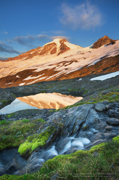
Mount Baker Heliotrope Ridge North CascadesMount Baker from Heliotrope Ridge #54423  Purchase

During the last week of August, I was hoping to visit one more spot that might offer good displays of wildflowers. I almost forgot about Heliotrope Ridge. It has been around twelve years since my last visit. And it’s been twenty since I taught a weekend photography workshop there through the North Cascades Institute.

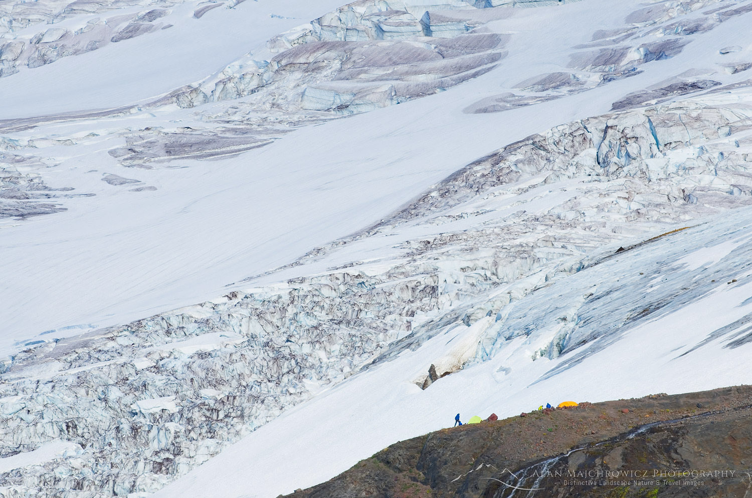
Heliotrope Ridge trail is extremely popular due to the easy and close access to views of the sprawling Coleman Glacier. And also because it is the start to one of the main climbing routes to the summit of Baker. Since I’ve been there before I knew that the best wildflower meadows were up high near the edge of the glaciers and snowfields. I also knew that I would have the place to myself if I went during the week. Sure enough, during my three nights on the ridge, I saw only one other person wandering around. The few climbing parties that set up camp stuck to the glaciers with eyes on the summit.

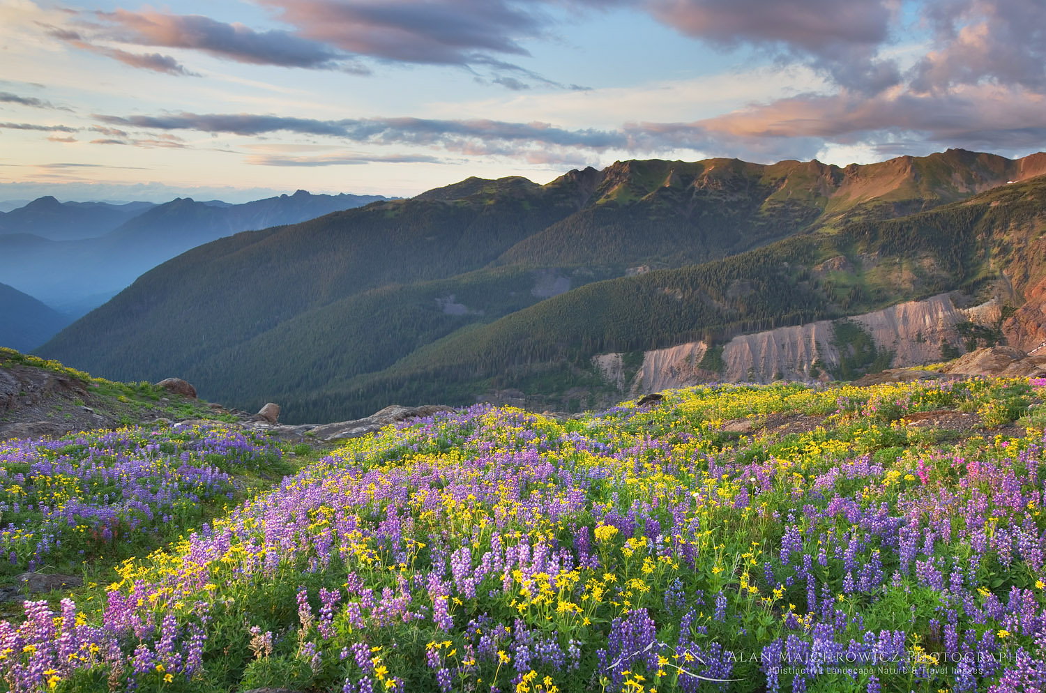
Heliotrope Ridge Wildflowers North CascadesHeliotrope Ridge Wildflowers #54537  Purchase

The wildflowers of Heliotrope Ridge were markedly different from those on the hikes to Skyline Divide and Hannegan Peak. There I came across fields mainly of valerian, lupine, corn lilies, and heather, but on Heliotrope there was a greater variety of flowers with an emphasis on yellow arnicas. Also since this area is so close to Mount Baker it receives much more snow, therefore the plants had just escaped the confines of winter and began blooming in late August while other subalpine ridges in the area were already well past peak and had gone to seed.

Another thing to do aside from gawking at the views and wildflowers is to wander cross-country, there are no trails at this point. Going west along increasingly barren slopes of mixed volcanic rock and crumbly slate there are numerous rushing snowmelt streams. If you are prepared for steep snowfield/glacier travel then continue higher up to the actual crest of Heliotrope Ridge. Here the ridge consists of a wild display of volcanic cinders jagged blocks of andesite and lava bombs, looking like it just cooled yesterday. Even better though is the view from the ridge of seldom seen Thunder Glacier and basin below Colfax and Lincoln Peaks, this is truly a wild and lonesome area of Mount Baker!

Coleman Glacier Climbers camp on Mount BakerMount Baker climber camp on Heliotrope Ridge #54432  Purchase

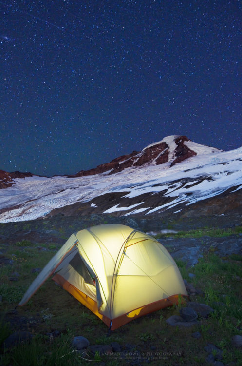
Illuminated tent, Mount Baker North CascadesHeliotrope Ridge Camp Mount Baker #54518  Purchase