Summer photography adventures are just around the corner, and this summer’s itinerary includes many exciting locations. The general plan is to begin in late June and return somewhere in the beginning of September. It’s an ambitious schedule, and if all goes well, I’ll be returning with many new and spectacular images. However, as always, unforeseen circumstances and weather may alter some planned destinations.
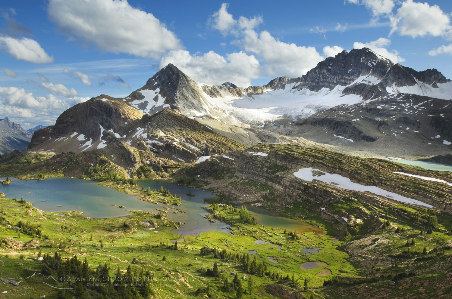 Limestone Lakes Basin. British Columbia #46109
After a few short warm-up trips in the North Cascades, I will travel to British Columbia, Alberta, Yukon, the Northwest Territories, and Alaska. Many of these locations will involve multi-day backpacking to outstanding and remote locations. And, if all goes as planned, it will even include a short dip in the Arctic Ocean!
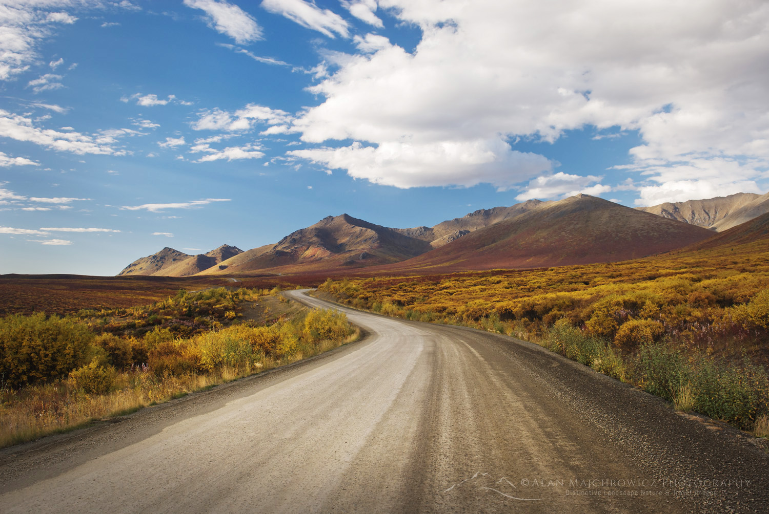 Dempster Highway, Yukon Territory #15390
Summer Photography Adventures Special Fine Art Print Offer
Would you like to be a part of the Summer Photography Adventures? For a limited time, you can receive a free 11×14 signed fine art print of any image made during this trip! Click this link to take advantage of and learn more about this unique opportunity.
Summer Photography Adventures Locations:
 Limestone Lakes Basin. British Columbia #46245
Canadian Rockies/Purcells/Selkirks
The first destinations of this leg will be in the Selkirk and Purcell Mountains of British Columbia. Most of these destinations are familiar, as I’ve made many trips to those areas. Next on the schedule will be a seven-day backpacking trip to Limestone Lakes, a spectacular but seldom-visited corner of the Canadian Rockies.
- Glacier National Park, Hermit Meadows *
- Silent Lake, Purcell Mountains *
- Whirlpool Lake, Purcell Mountains *
- Bugaboos, Purcell Mountains *
- Limestone lakes, Height of the Rockies Provincial Park **
- Kananaskis Country
- Icefields Parkway, Banff and Jasper National Parks
* Overnight Backpacking
** Multi-day Backpacking
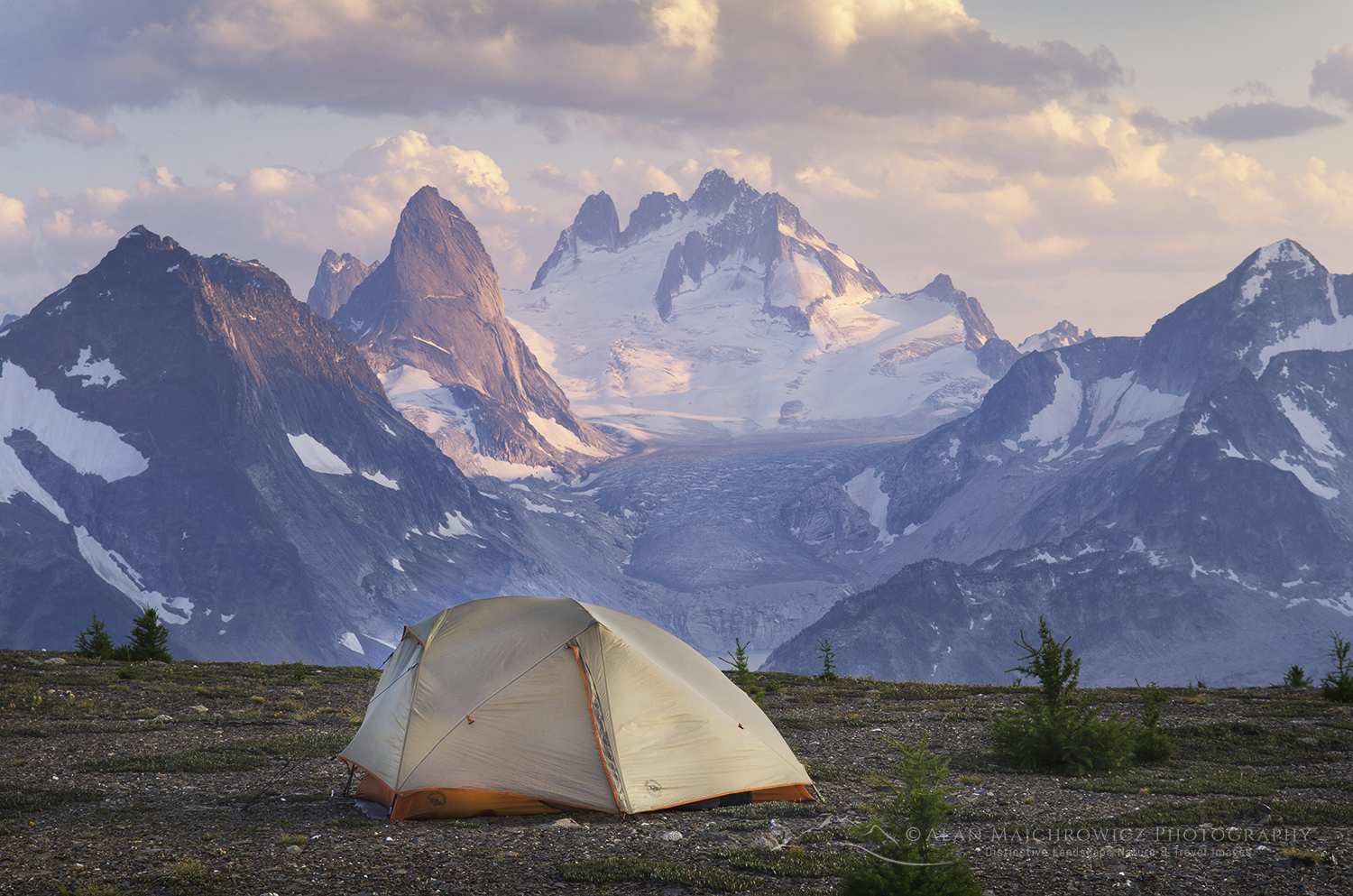 Bugaboos, British Columbia #62962
Northern Canadian Rockies
The second leg of Summer Photography Adventures will take me to the Northern Rockies of British Columbia. This will be my first visit to this remote and wild region of the Canadian Rockies, and I’m excited to have the opportunity to photograph there! This region has a true feeling of immense and raw wilderness that is increasingly rare in destinations further south. And being this far north, there are few roads and established trails.
- Tumbler Ridge UNESCO Global Geopark
- Wokkpash Valley, Stone Mountain Provincial Park **
- Muncho Lake Provincial Park
** Multi-day Backpacking
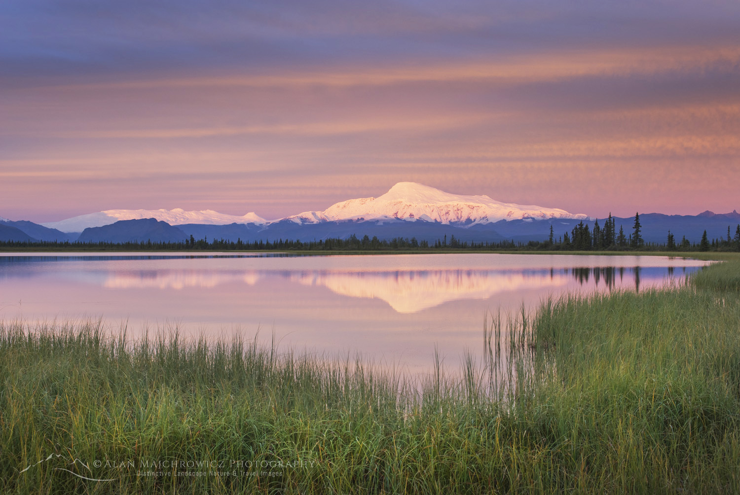 Mount Sanford, Wrangell St.-Elias National Park #14339
Wrangell-St. Elias National Park, Alaska
Wrangell-St. Elias is a National Park I’ve wanted to return to for many years. On my only visit there, I was awestruck at the raw and wild nature of the landscape and mountains. Even more than the Northern Rockies in British Columbia, Wrangell is an immense park, nearly devoid of roads and trails. Aside from the McCarthy area, getting around the park requires chartering air taxis or grueling cross-country travel across rivers, marshes, and glaciers.
I plan to include the Nabesna Road and McCarthy/Kennecott area. Topping off the visit will be a flightseeing trip over the park’s spectacular glaciers and mountains.
- Nabesna Road, Mount Sanford, and Wrangell Mountains viewpoints
- Kennecott Glacier*
- Flightseeing over Wrangell and St. Elias Ranges
* Overnight Backpacking
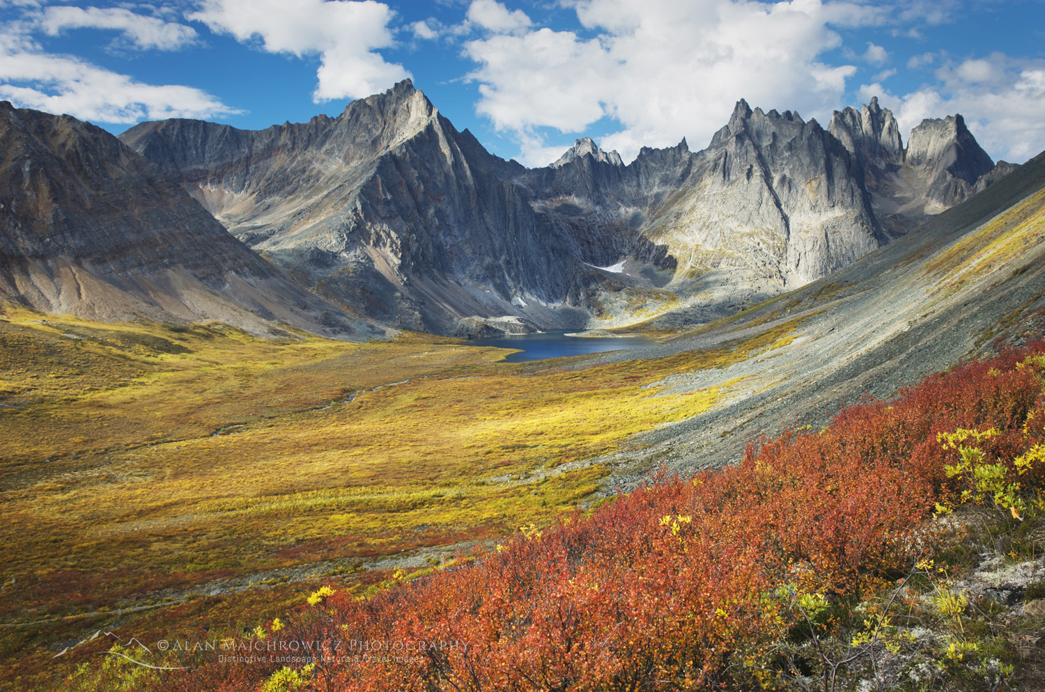 Tombstone Territorial Park #15190
Yukon and Northwest Territories
This last leg of the trip promises to be the most exciting, Yukon Territory and the Arctic. After topping up supplies in Dawson City, the route will travel north for 740km along the Dempster Highway to Inuvik, Northwest Territories. But it won’t stop there; another 147km on the Tuktoyaktuk Highway will take me to the shores of the Arctic Ocean! Seeing, dipping in, and even tasting the waters of the Arctic has been a lifelong dream of mine. So I’m beyond excited to have this experience!
However, before reaching this epic conclusion, I have a backpacking trip reserved in Tombstone Territorial Park. This spectacular park is located just a few degrees south of the Arctic Circle and features towering granite spires rising above the tundra and boreal forest.
My multi-day backpacking trip in the park and the drive up the Dempster highway is scheduled to coincide with the peak of fall color in late August. During this period, the tundra is ablaze in yellow, orange, and red, rivalling the best autumn displays of New England.
- Dawson City
- Tombstone Territorial Park **
- Dempster Highway
- Pingo Canadian Landmark, Tuktoyaktuk Highway
- Arctic Ocean, Tuktoyaktuk, Northwest Territories
** Multi-day Backpacking
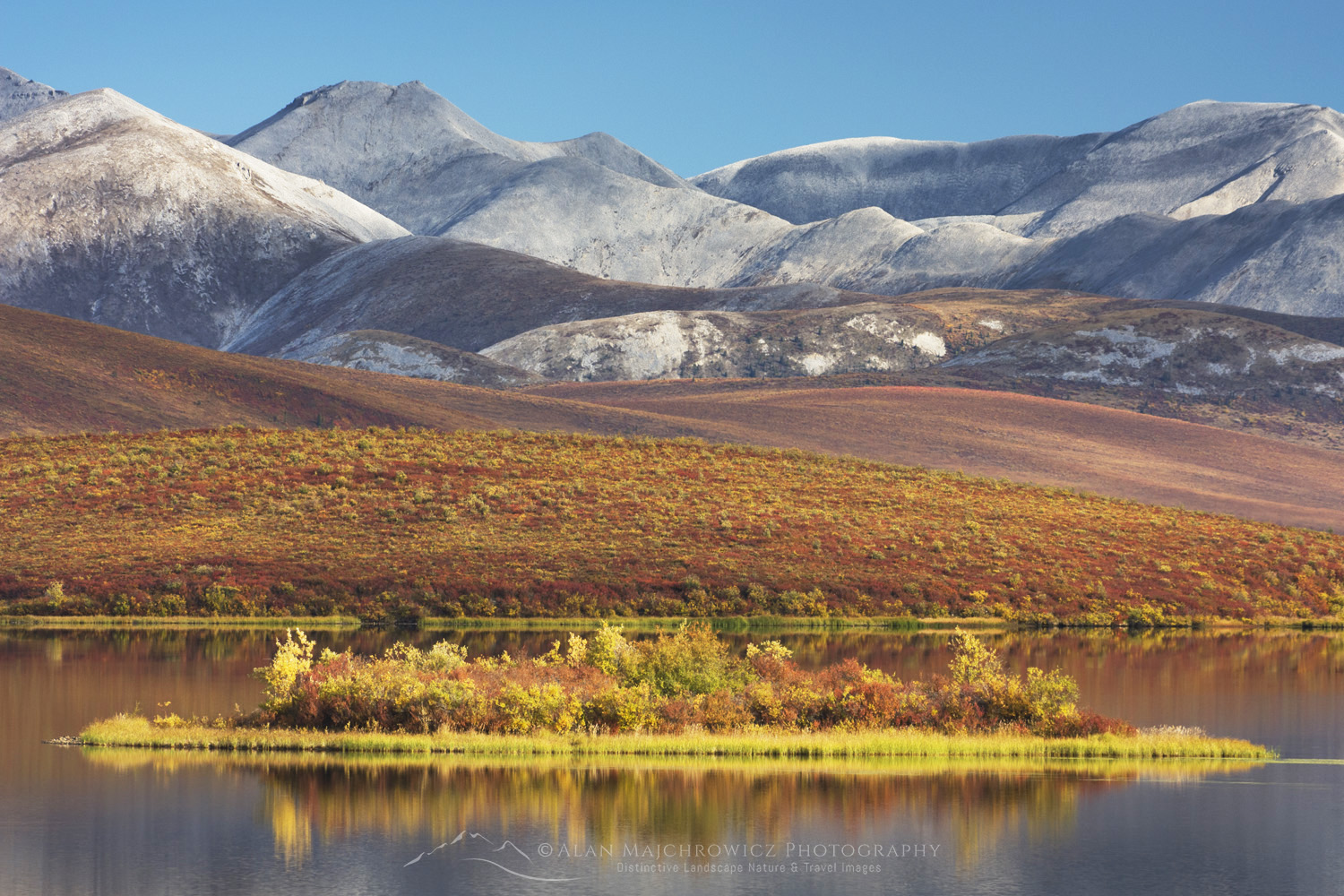 Ogilvie Mountains Yukon Territory #15390
All photos appearing in this post are available for Commercial Licensing and Fine Art Prints. Click on any image to purchase, or contact me for more info!
Learn about how to protect the places we love to photograph
Visit the Nature First Website

Summer Photography Adventures 2025

Sounds like a great set of plans! Question: how tough is the road access to Limestone Lakes? I’ve been contemplating that area, but am getting conflicting vibes about whether my vehicle (a crossover type) would be adequate.
Hi Andrew, thanks for checking out my post. I have no idea what the road condition currently is. However, when I was last there around 12 years ago it was passable for a 2×2 high clearance vehicle. It is a fairly long drive though on an unsurfaced road.
Thank you!
Hi Andrew, I just returned from Limestone Lakes. The road is in good shape all the way to the trailhead. Ordinary passenger cars will have no trouble. Long dusty access though. There is a difficult ford of Joffre Creek right at the start, and it’s a bit confusing to find the correct trail after the ford.