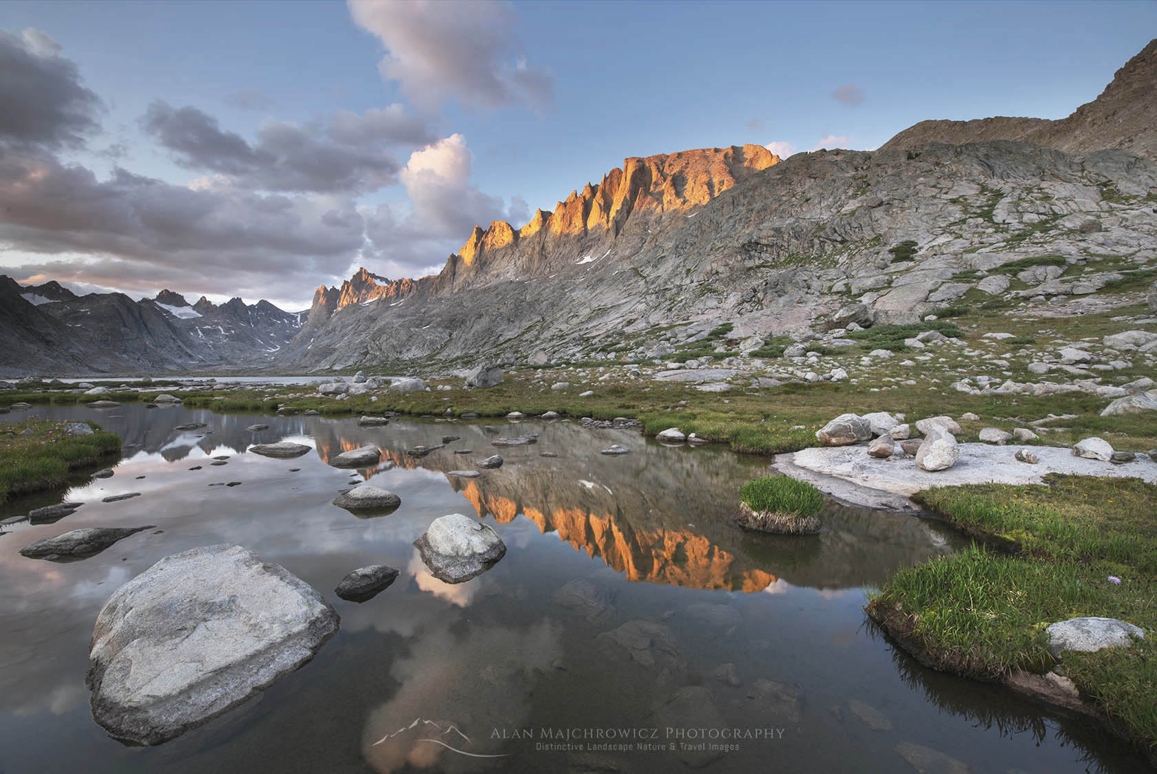
Titcomb Basin wildflowers Wind River Range Wyoming

New Images Wind River Range

New Images Wind River Range

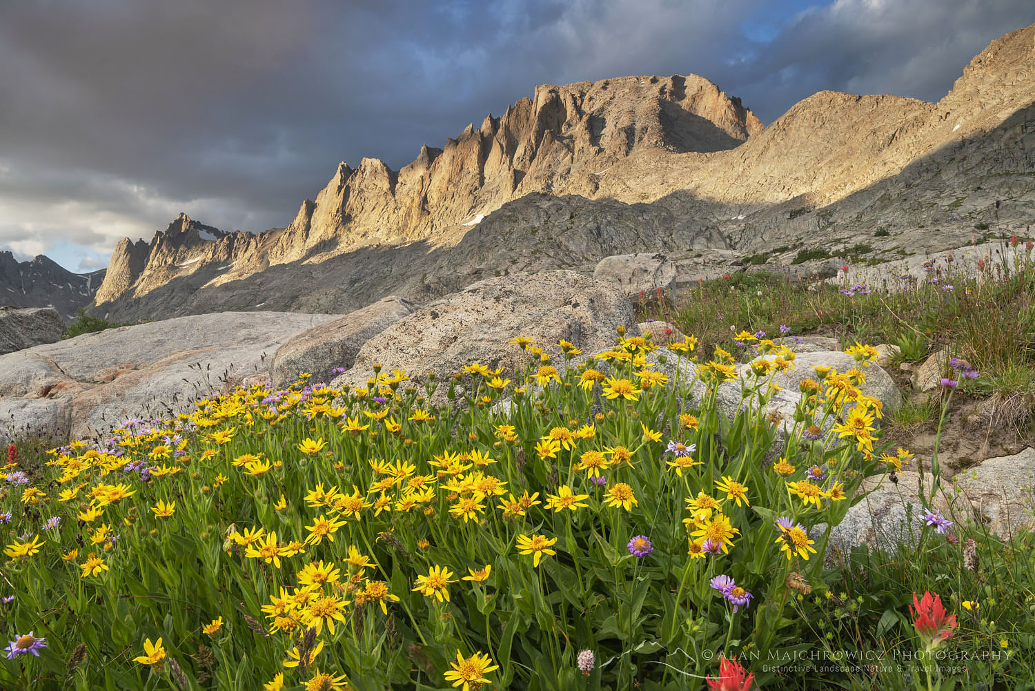
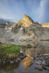
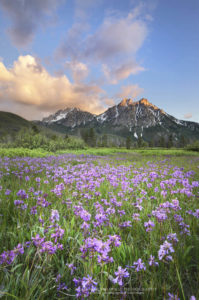
Titcomb Basin wildflowers Wind River Range Wyoming Titcomb Basin Wildflowers #66559  Purchase

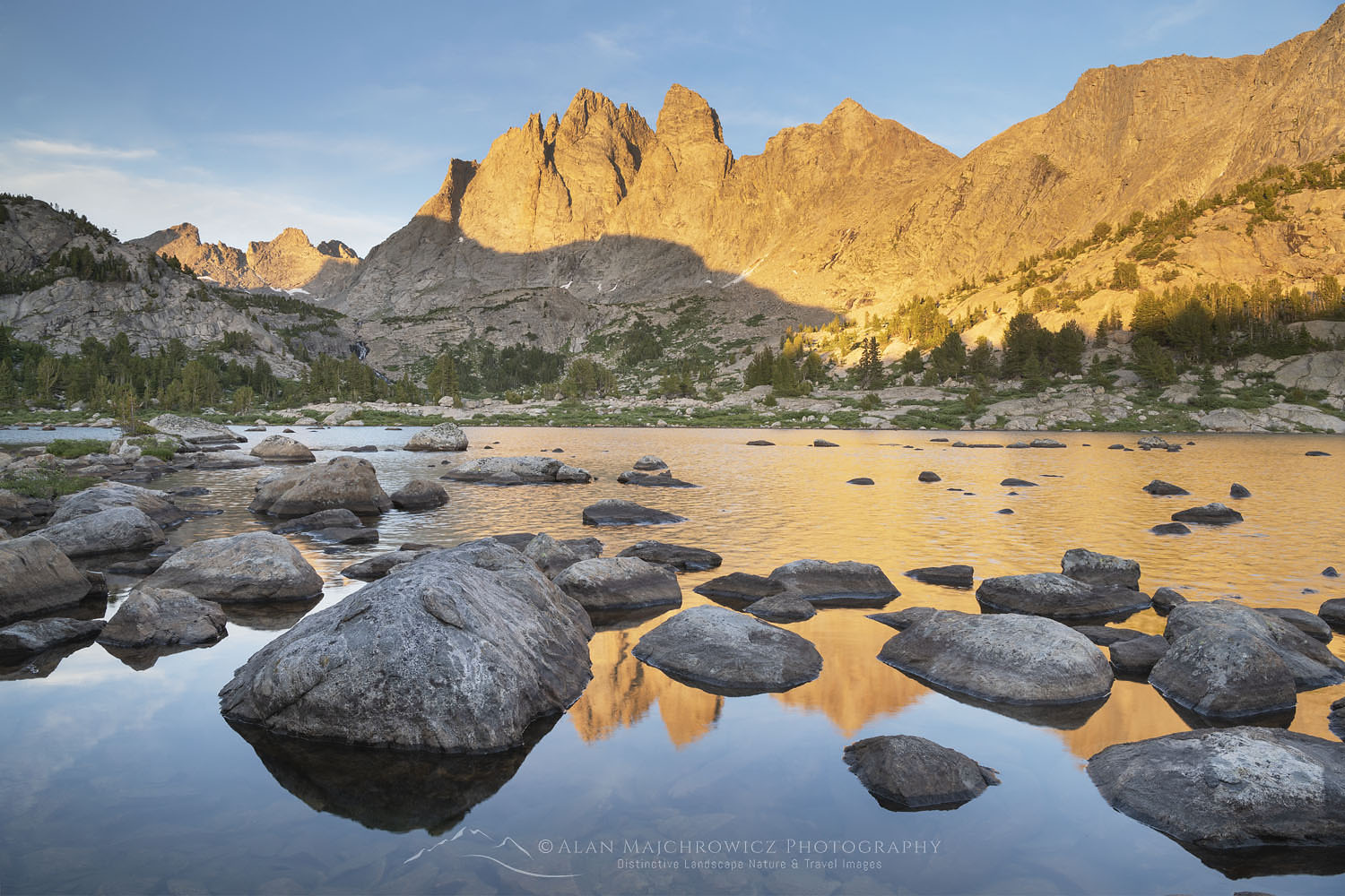
The second group of new images from my Rocky Mountains photo tour is now online and ready to view. This group represents close to three weeks of backpacking photography in the Wind River Range of Wyoming.

If you have been following my blog over the past several years you’ll know that the Winds have been on my “must return to list” for quite some time. They are an extensive high-elevation mountain range encompassing three wilderness areas. There are enough peaks lakes and glaciers in the Winds to keep a photographer busy for an entire lifetime.

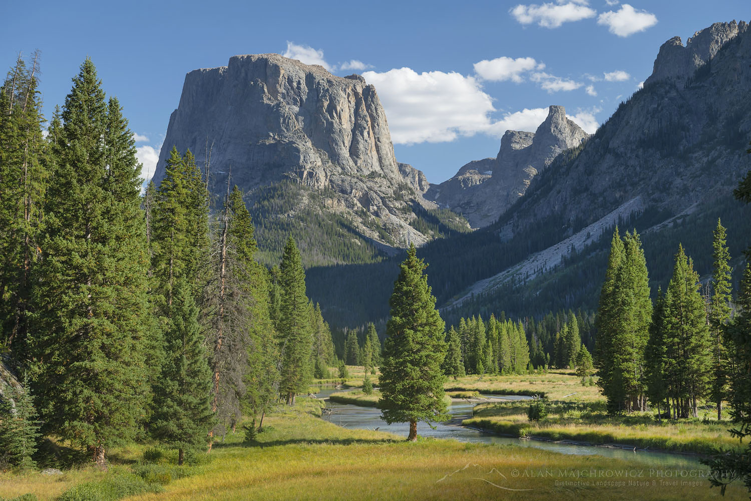
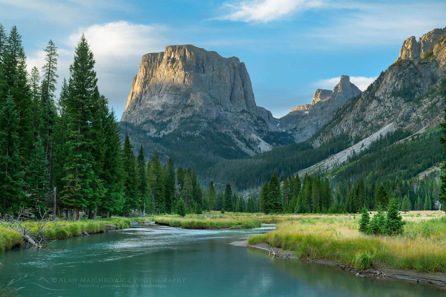
Squaretop Mountain Wind River Range WyomingSquaretop Mountain  #66997   Purchase

This was my fourth trip to the Winds and by far my most successful. The past trips were plagued by poor light and or smoke from wildfires. However, this time there were plenty of opportunities to photograph in exceptional light.

Here is a list of the locations from this trip. After I finish the next edits of Grand Teton, Yellowstone, and Glacier National Parks I’ll be following up with more posts detailing each of the trips from this tour.

  • Bonneville Lakes Basin
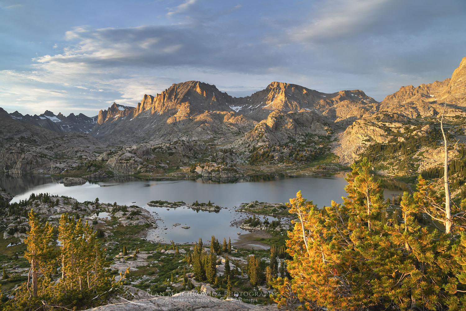
  • Island Lake/Titcomb Basin/Indian Basin
  • Green River Lakes/Green River/Squaretop Mountain

And of course, all images are ready and available as Fine Art Prints and for Commercial Licensing.

Island Lake Wind River Range WyomingIsland Lake  #66368  Purchase

Mount Bonneville and Little Bonneville Lake. Bridger Wilderness, Wind River Range WyomingMount Bonneville #66273   Purchase

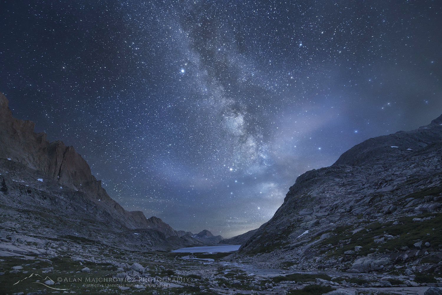
Milky Way over Upper Titcomb Basin Wind River Range WyomingMilky Way over Upper Titicomb Basin #66741  Purchase

New Images Wind River Range

Stanley Basin Sawtooth Mountains Idaho

New Images Sawtooth Mountains Idaho

New Images Sawtooth Mountains Idaho

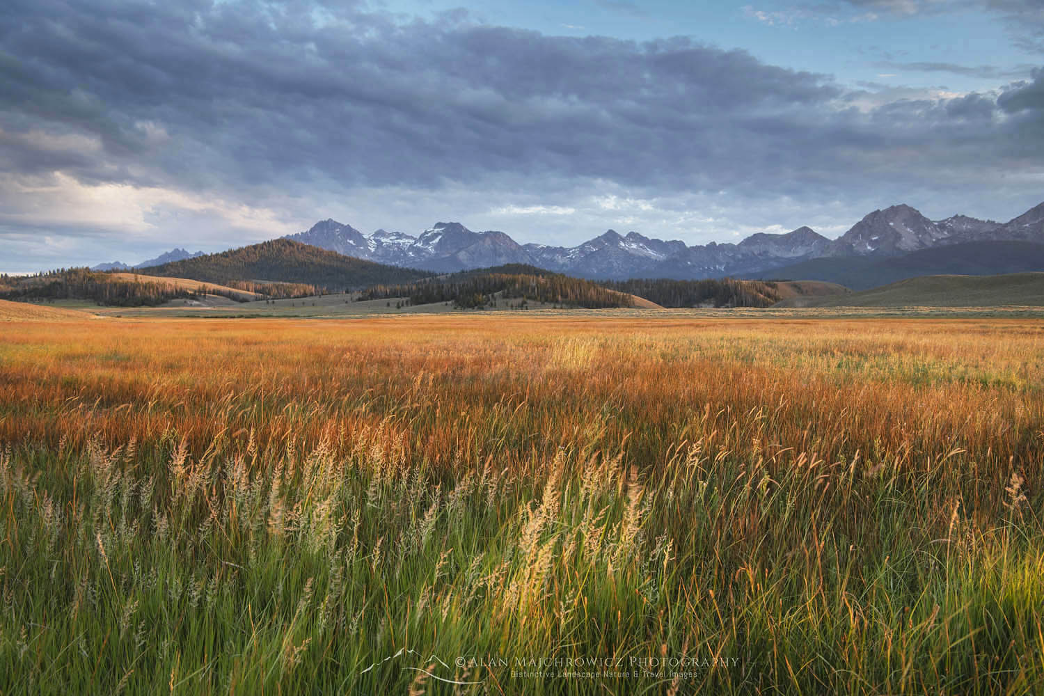
Stanley Basin Sawtooth Mountains IdahoMeadows of Stanley Basin, Idaho #65845  Purchase

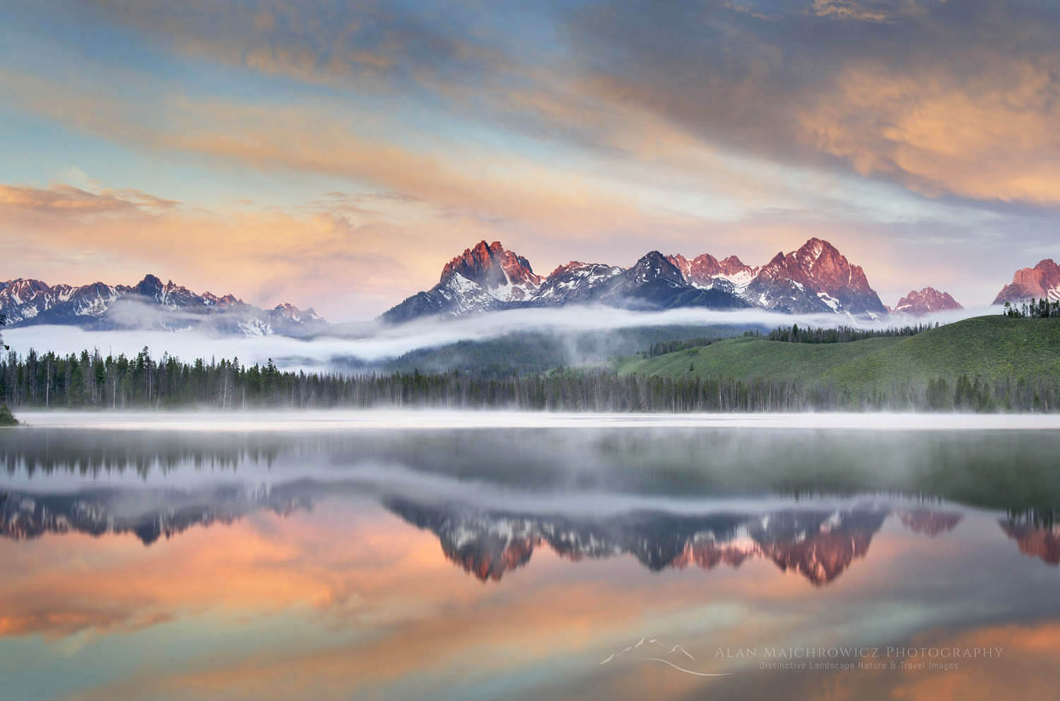
The first group of new images from my Rocky Mountains photo tour is now online and ready to view. This selection represents the first leg of my trip, the Sawtooth Mountains of Idaho. It includes photos made during three separate backpacking trips into the most spectacular backcountry locations in the Sawtooths. Sawtooth Lake, Baron Lakes, and the famous Alice-Toxaway Lakes Loop. Also among this group are images from Little Redfish Lake and meadows of  Stanley Basin. Both of these locations yielded some great images on this and previous visits.

Milky Way Baron Lake Sawtooth MountainsMilky Way over Baron Lake  #66011  Purchase

The Sawtooth Mountains backcountry has been on my must photograph list for many years. They were on the schedule last year, but due to widespread wildfires and smoke I had to cancel the shoot. This year, however, provided ideal conditions for an extended stay. And I took full advantage of it. In addition to there being no fires or smoke, several passing summer storms provided beautiful evening and morning light. Perfect conditions for landscape photography.

After I complete editing and processing all the images from the rest of the trip I’ll return to the beginning and write detailed posts about all the locations I photographed.

To see even more images from this and previous trips to the Sawtooth Mountains please click this link to go to the Idaho gallery of my Archives. All images are available as fine art prints and for commercial licensing.

Next group of new images coming soon: Wind River Range Wyoming

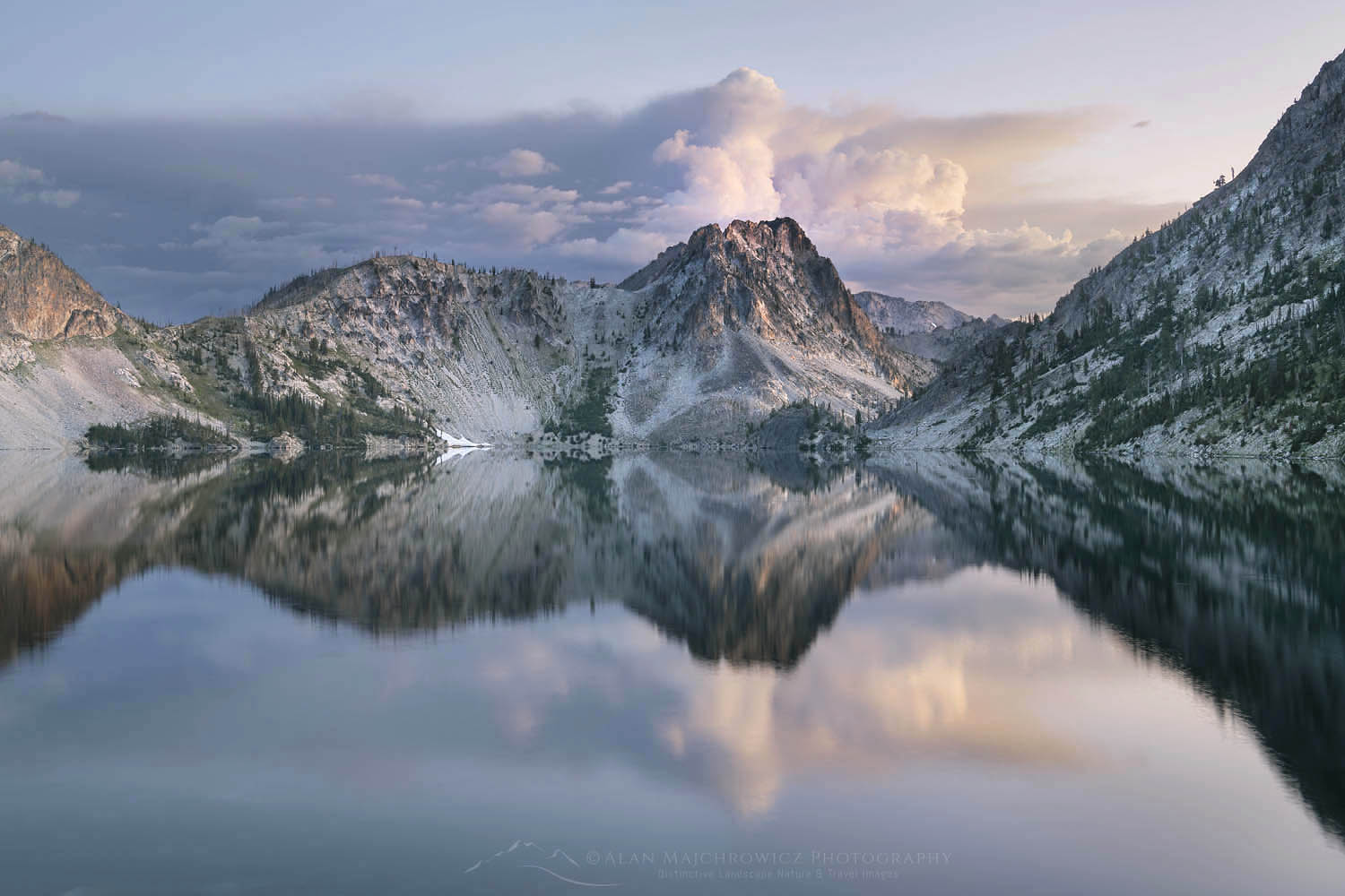
Sawtooth Lake Sawtooth Mountains IdahoSawtooth Lake, Idaho #65942  Purchase

Twin Lakes Sawtooth MountainsTwin Lakes, Alice-Toxaway Lakes Loop #66185  Purchase

New Images Sawtooth Mountains Idaho

Yellowstone Falls Sunrise

Trip Update: Grand Teton Yellowstone

Trip Update: Grand Teton Yellowstone

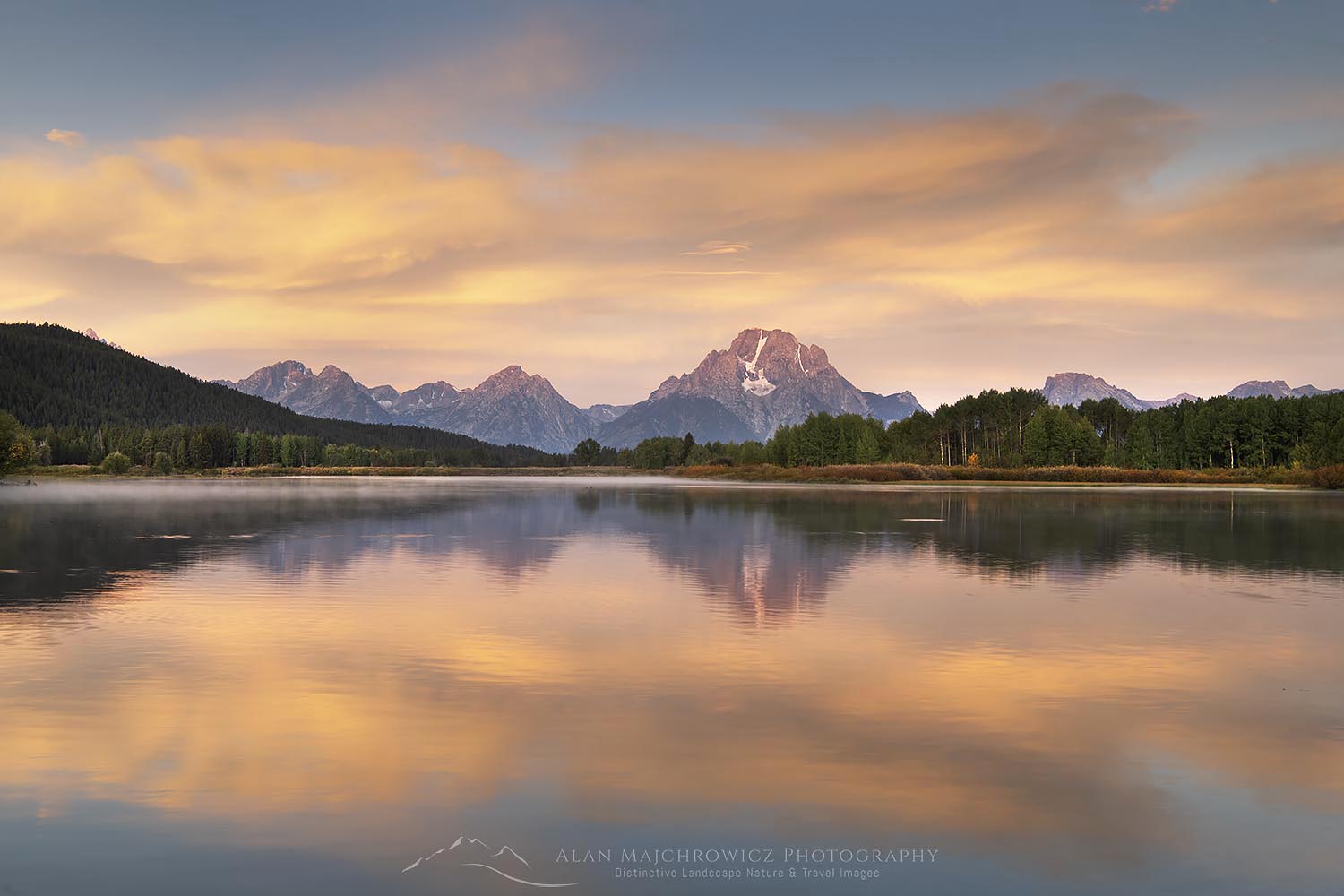
Sunrise at Oxbow Bend, Grand Teton National Park Trip Update: Grand Teton YellowstoneOxbow Bend Grand Teton National Park  #67699  Purchase

When I announce my planned list of locations at the start of a lengthy photo tour I always stress the subject-to-change factor. Now that I’m over eight weeks into this trip it’s very apparent that factor has long ago come into play.

For example, the Grand Teton Yellowstone segment of this trip was originally going to last for around 5-7 days. However, the abundance of subject matter, changing seasons, and weather patterns extended my stay to nearly three weeks! When I return to the office I’ll be posting more details on these two iconic locations. Suffice it to say these parks were a definite change of pace from the quiet solitude of backpacking in the Sawtooths and Winds. I’ve now had my fill of park traffic jams, and crowds of selfie-obsessed young women!

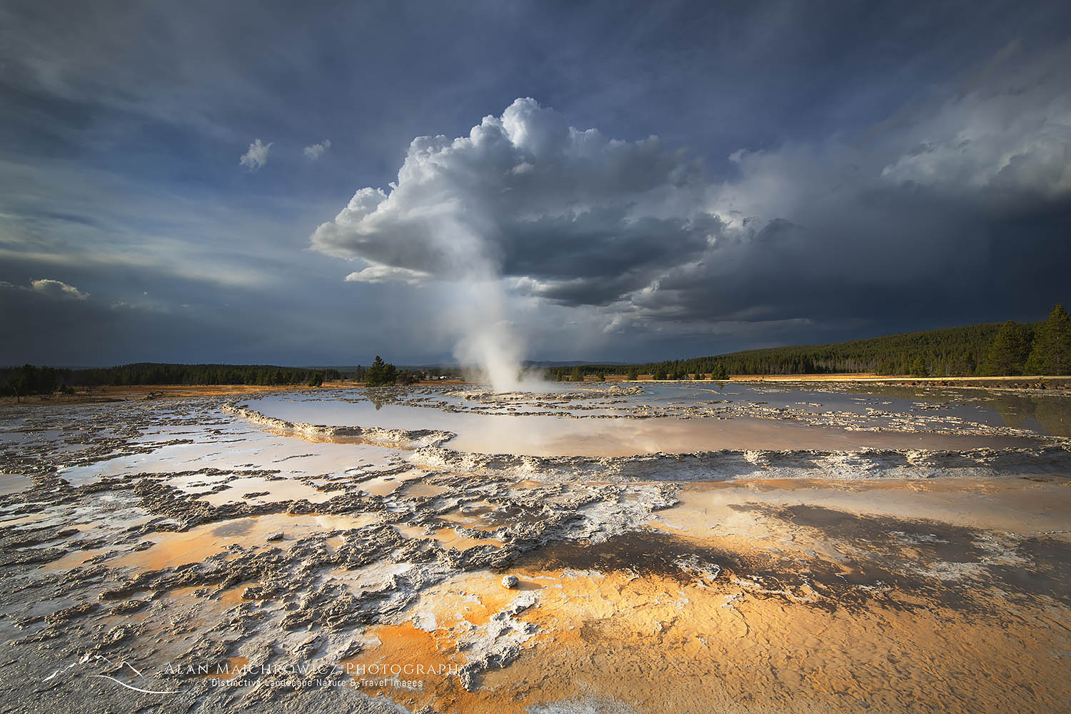
Great Fountain Geyser Yellowstone National Park Trip Update: Grand Teton YellowstoneGreat Fountain Geyser Yellowstone National Park   #67744  Purchase

It’s also apparent that I most likely will not be continuing to the Canadian Rockies. After Leaving Yellowstone National Park I’ll be making my way up the Rocky Mountain Front Ranges into Glacier National Park. This will probably be the final destination for the trip. Since by the time I arrive fall color should be close to peak, and I’ll be working hard to take advantage of it.

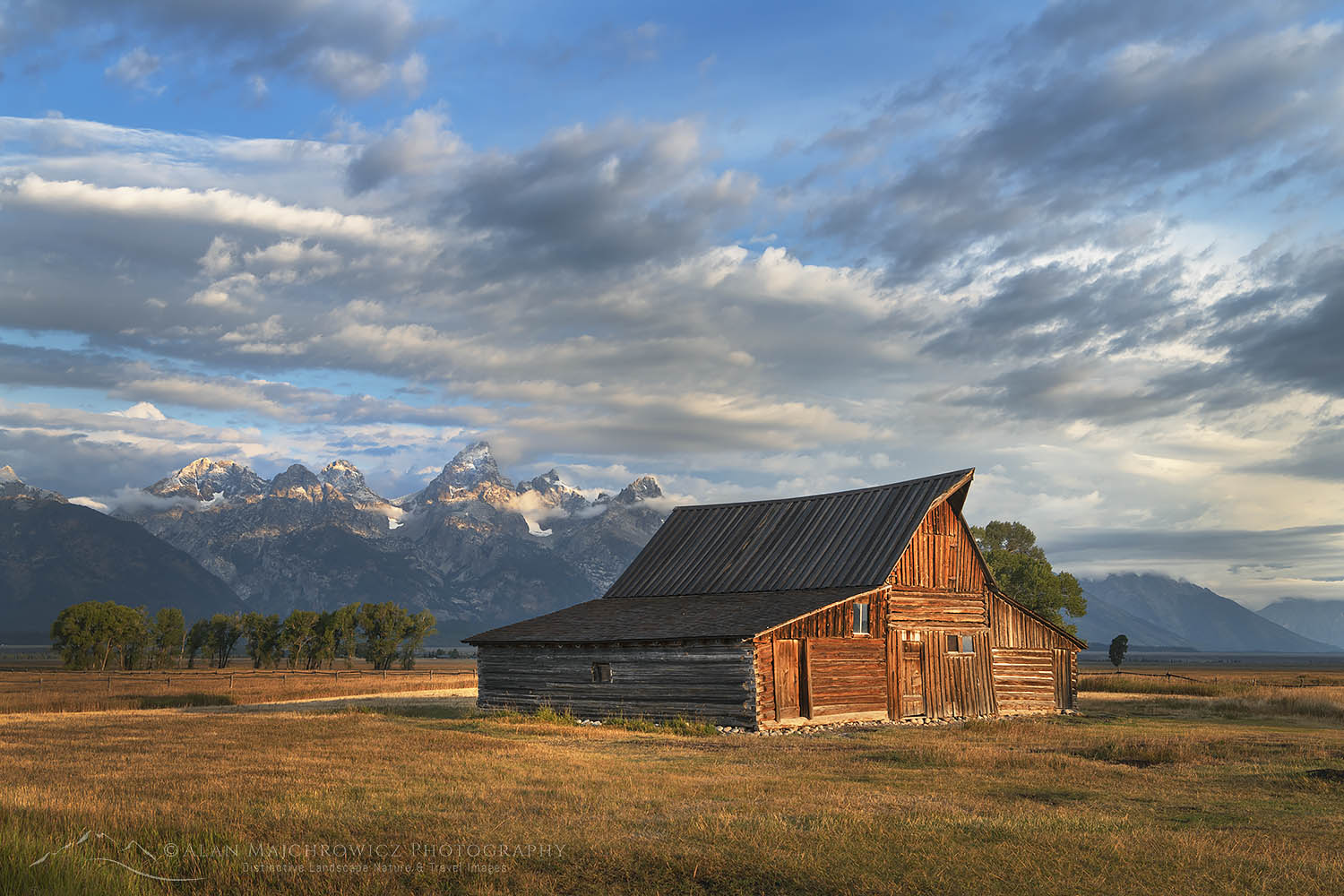
Moulton Barn Grand Teton National ParkMoulton Barn Grand Teton National Park   #69710  Purchase

*The photos appearing on this post are quick on-the-road edits. However, they will be reprocessed and made available for sale when I return to the office.

*Please note, due to being out of cell or WiFi range for most of this trip I may not be able immediately to respond to any licensing requests or blog comments. Print orders that are placed while I’m away on this trip will not be shipped until I return to the office. Thank you for your patience and understanding!

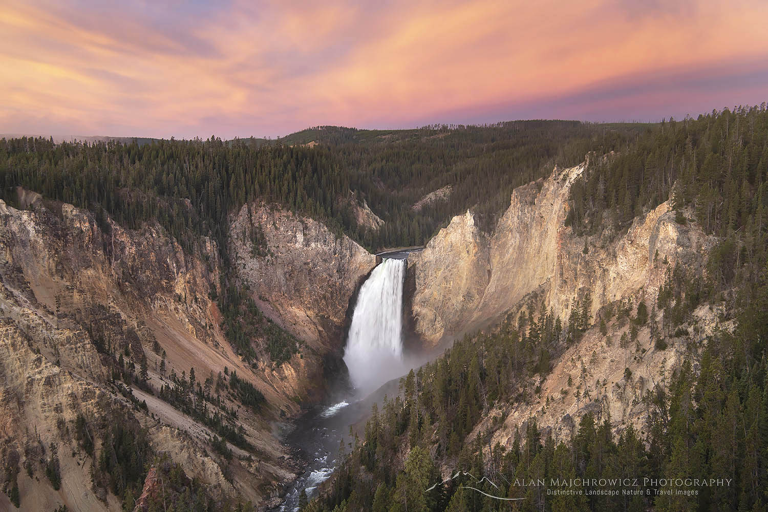
Yellowstone Falls Sunrise Trip Update: Grand Teton YellowstoneYellowstone Falls Sunrise  #67940  Purchase

Island Lake Wind River Range Wyoming

Trip Update: Wind River Range

Trip Update: Wind River Range

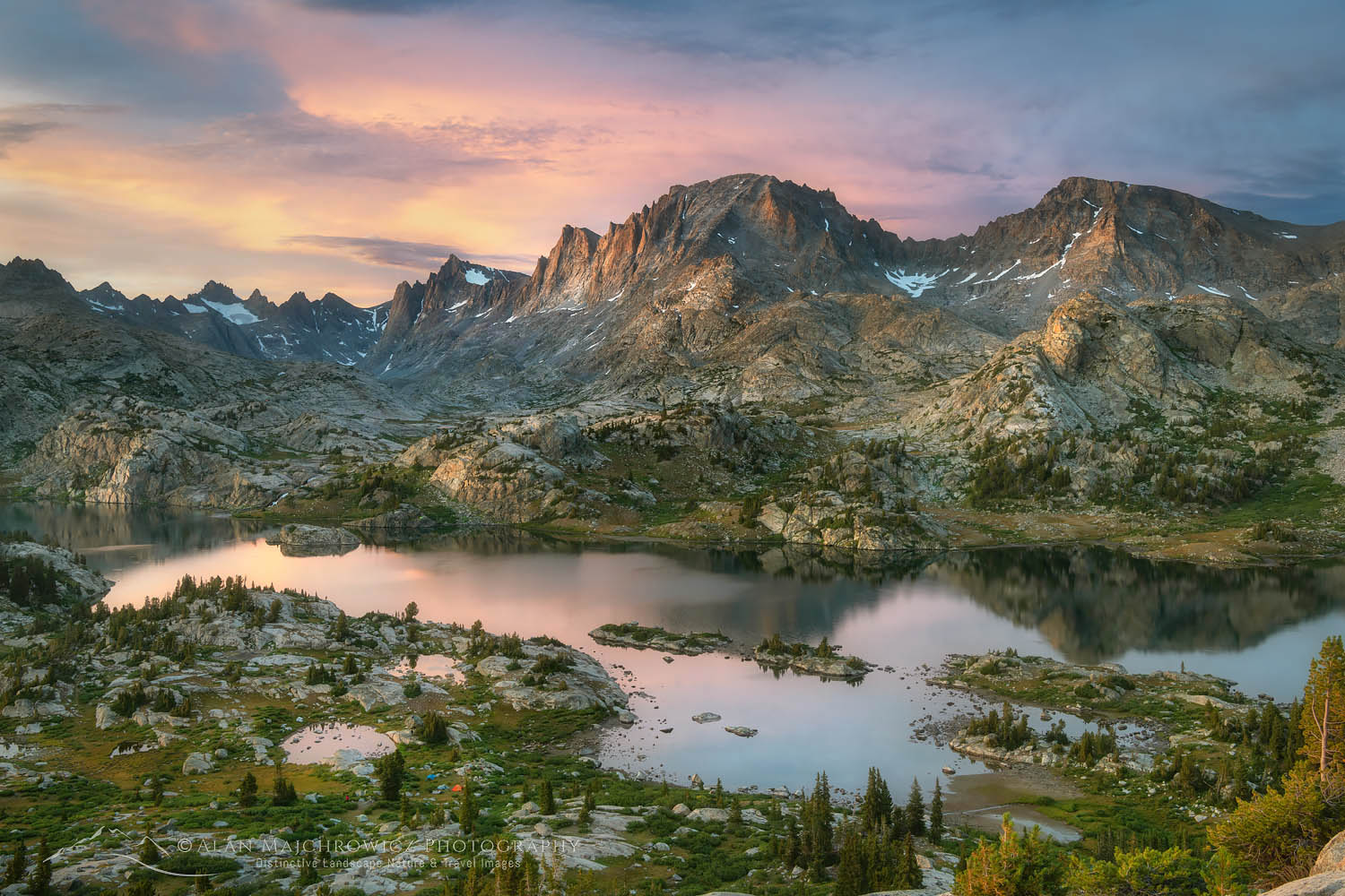
Island Lake and Fremont Peak, Bridger Wilderness, Wind River Range WyomingIsland Lake Wind River Range, Wyoming #66386  Purchase

I’m wrapping up nearly three weeks of photography in the main segment of my photo tour, the Wind River Range of Wyoming. This part of the trip was a major undertaking for me. Hiking and photographing in the Wind River Range is quite unlike the Sawtooth Mountains of Idaho. The Sawtooths were three mainly moderate-length trips around 18 to 25 miles each, at 8000′ elevation. The trips in the Wind’s however, were about 35 to 40 miles each. Trailheads were starting at 9500′, with trails eventually reaching 11,500′ elevation. I’m glad I acclimated to higher altitudes in the Sawtooth’s first!

Titcomb Basin. Wind River Range WyomingTitcomb Basin Wind River Range  #67957  Purchase

Unlike previous visits to the Wind’s, there was no sign of major wildfires. While the weather was mostly beautiful summer weather, I did experience several instances of exciting evening and morning light.

While in the Wind’s, I also continued experimenting with some night photography. I’m new to this genre of photography, but so far I’m finding it very enjoyable. Although I’d much rather be catching some sleep after a long day of hiking, photographing, and swatting mosquitoes!

Now that the busy Labor Day Weekend is over, I can safely venture into the next part of the trip. This includes Grand Teton and Yellowstone National Parks, followed by the Beartooth Highway.

Locations Photographed in Wind River Range :
Bonneville Lakes
Island Lake / Titcomb Basin / Indian Basin
Green River Lakes

Squaretop Mountain reflected in Green River, Bridger Wilderness, Wind River Range WyomingSquaretop Mountain, Wind River Range  #67163  Purchase

*The photos appearing on this post are quick on-the-road edits. However, they will be reprocessed and made available for sale when I return to the office.

*Please note, due to being out of cell or WiFi range for most of this trip, I may not be able immediately to respond to any licensing requests, or blog comments. Print orders that are placed while I’m away on this trip will not be shipped until I return to the office. Thank you for your patience and understanding!

Milky Way Wind River Range WyomingMilky Way over Titcomb Basin  #66595b  Purchase

Milky Way over Upper Titcomb Basin, Bridger Wilderness, Wind River Range WyomingMilky Way over Titcomb Basin  #66743  Purchase

Baron Lake, Sawtooth Wilderness Idaho

Trip Update: Sawtooth Mountains

Trip Update: Sawtooth Mountains Idaho

Baron Lake Monte Verita Peak Sawtooth MountainsBaron Lake Sawtooth Wilderness Idaho  #66032  Purchase

Today I’m wrapping up the Sawtooth Mountains segment of my summer photo tour. Eleven days and nearly 50 miles of backpacking into some gorgeous areas yielded plenty of new images. All the effort of hauling heavy camera gear into the backcountry certainly paid off. Tomorrow I’m heading to the Wind River Range of Wyoming. Meanwhile I’ll be checking out a few local hot springs!

Locations Photographed in Sawtooth Mountains :
Sawtooth Lake
Baron Lakes
Alice Lake/Toxaway Lake Loop

*The photos appearing on this post are quick on the road edits, literally I’m on the roadside working to publish this post. However they will be reprocessed and made available for sale when I return to the office.

Sawtooth Lake, Sawtooth Wilderness IdahoSawtooth Lake, Sawtooth Wilderness Idaho  #65960  Purchase

Sawtooth Lake and Mount Regan IdahoSawtooth Lake, Sawtooth Wilderness Idaho #65880  Purchase

Please note, any print orders that are placed while I’m away on this trip will not be shipped until I return to the office.

Cirque of the Towers, Wind River Range Wyoming

Summer Photography Tour 2019

Summer Photography Tour 2019

Little Redfish Lake, Sawtooth National Recreation Area Idaho Summer Photography Tour 2019Little Redfish Lake Sawtooth Mountains Idaho  #56176  Purchase

Summer Photography Tour 2019 is about to begin! This year’s trip  is very exciting as I’ll be photographing some of my favorite destinations in the Northern Rocky Mountains. Beginning in the Sawtooth Mountains of Idaho I’ll be backpacking in to some of the most dramatic mountain wilderness areas in the lower 48 states and Canada.*
Many of these locations have been on my schedule for several years. However, due to several summers where wildfire smoke  hampered photography I had to put them on the back burner. The Wind River Range in particular suffered greatly from these fires. My past two trips to the Winds were frustrated by smoke filled skies, and I came back with only a few photos.
This year, however, is turning out to be mostly free of major wildfires. So I’m going to fully take advantage of the opportunity and hit as many locations as I can. Of course fire smoke is only one obstacle to good landscape photography. I’ll also need good light and some interesting clouds at the right time and place. That’s not too much to ask, is it?
*Please note, any print orders that are placed while I’m away on this trip will not be processed until I return to the office.

Sawtooth Mountains and Wind River Range

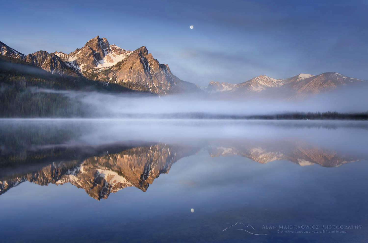
Stanley Lake, Sawtooth Mountains, Idaho Summer Photography Tour 2019Stanley Lake, Sawtooth Mountains  #55933  Purchase

The Sawtooth Mountains of Idaho will be a very exciting segment for me. In the past I’ve photographed these mountains from various viewpoints looking into the range. This will be my first foray on trails into the interior. While the exact destinations are not set, at this point I’m planning two separate backpacking excursions, of three to four days each. And of course I’ll also be taking full advantage of the numerous natural hot springs while in the area!

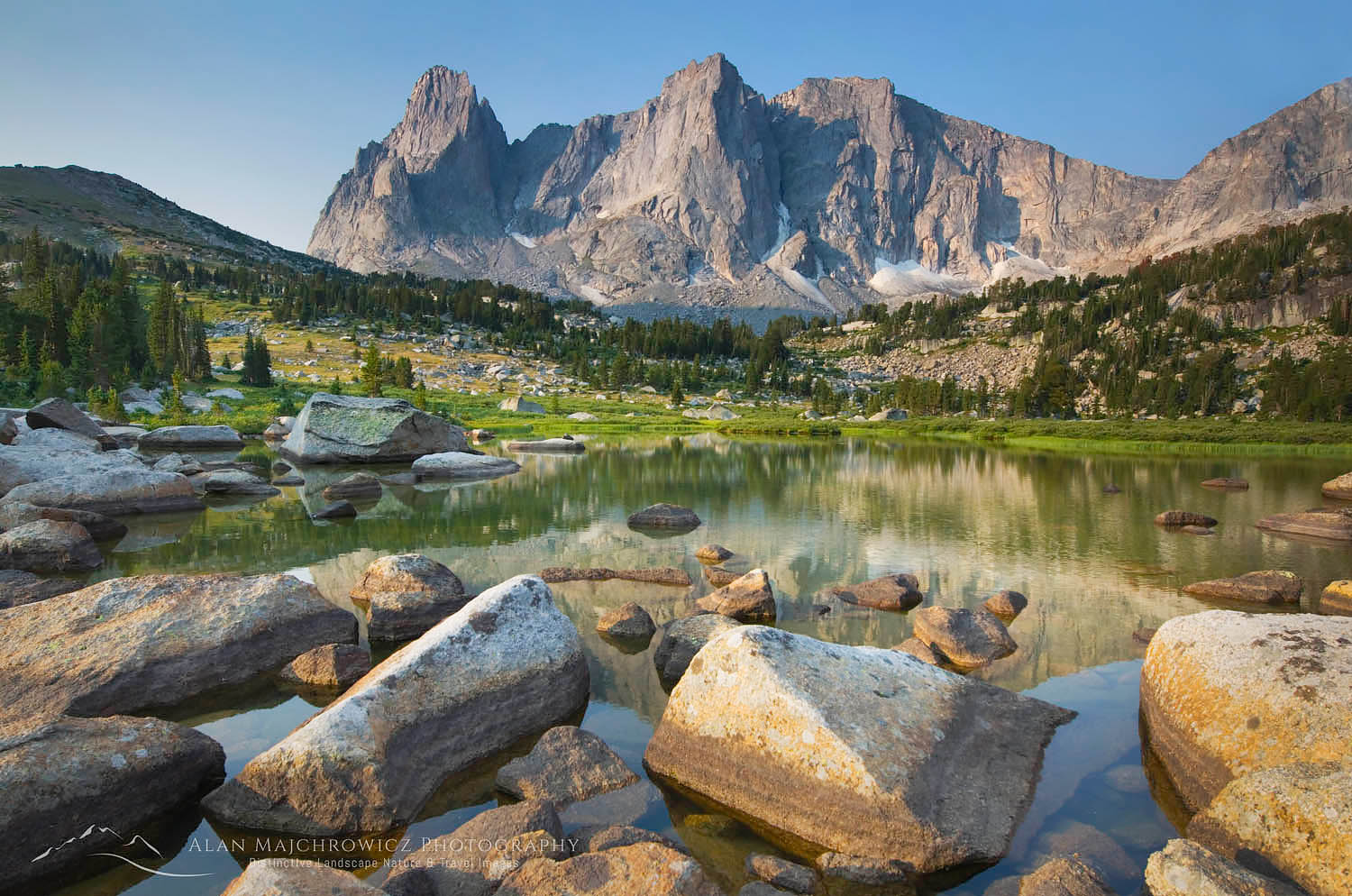
Cirque of the Towers, Wind River Range Wyoming Summer Photography Tour 2019Cirque of the Towers, Wind River Range  #49203  Purchase

The Wind River Range of Wyoming will be the central focus of this trip. This spectacular section of the Rockies contains 40 peaks over 13,000 feet, the largest glacier in the American Rockies, and over 1300 named lakes, all spread over three designated wilderness areas.  While a few areas can get downright crowded with hikers and climbers, there are numerous trails that rarely sees any boot traffic.
If all goes well I will be making three backpacking trips in the Winds, keeping me busy for around 10-14 days. Destinations on my agenda include the Hailey Pass Washakie Pass Loop, Deep Lake, the ever popular popular Cirque of the Towers. Titcomb Basin will be next, and lastly the Green River Lakes area. 

On to Montana

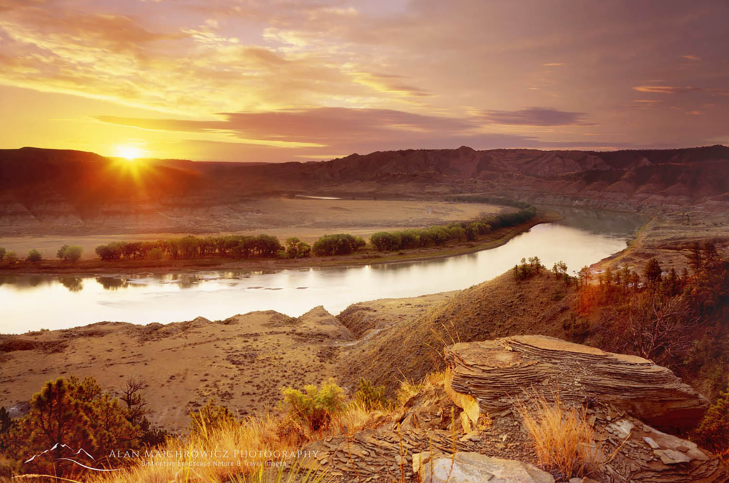
Upper Missouri River Breaks , Montana Summer Photography Tour 2019Missouri River Breaks Sunrise  #4559  Purchase 

After a brief visit to Grand Teton and Yellowstone National Parks my next destination on the schedule is the spectacular Beartooth Highway. One of the highest roads in North America it tops out at 10,497′ on the Wyoming Montana border. Although I don’t have any specifics spots in mind yet, I plan to spend several days exploring and photographing.

North of the Beartooth Highway I’ll make my way through the Missouri River Beaks country. Most people associate Montana with soaring mountains, cool forests and crystal clear lakes and streams. However the eastern half of the state is open grasslands, badlands, cattle ranches and wheat farms. This is Big Sky country, a region where the antelope truly play! Although I love mountains, this wide sprawling country captures my imagination, and I’m always excited to return.

Glacier and Waterton National Parks

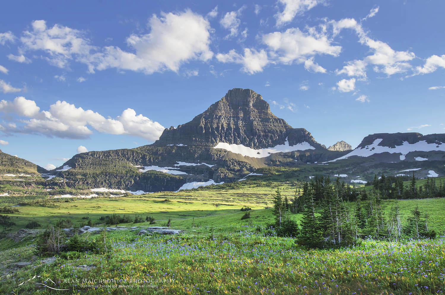
Logan Pass Glacier National Park Summer Photography Tour 2019Logan Pass Glacier National Pass  #46490  Purchase

Moving westward the next stops are Glacier and Wateron National Parks. Glacier was the second national park I visited, while in my youth on a family vacation. It is also the location of my first true backpacking adventure, accompanied by two high school classmates just after graduation. Unfortunately that was the last time I did a backpacking trip in the park. All my return visits have been road and day-hike based trips.

Glacier is one of the more heavily visited national parks in the country. Parts of the park, such as Logan Pass, can get so crowded during the summer months that parking lots can be overflowing by 8:00 in the morning. I’m hoping that by the time I get to Glacier it will be after Labor Day weekend , and the crowds will have thinned considerably.

Although I’ve visited and photographed in Glacier several times over the years, I’ve visited adjacent Wateron only once. Wateron is much smaller than Glacier, has similar terrain, and represents the southernmost section of the Canadian Rockies. Geologically speaking, however, the Canadian Rockies actually extend to the southern border of Glacier National Park, along U.S. Highway 2.

This will certainly be a good opportunity for me to make up for not visiting Waterton.

The Canadian Rockies

Limestone Lakes Height of the Rockies Summer Photography Tour 2019Limestone Lakes Height of the Rockies Provincial Park  #461098  Purchase

Finally, after photographing in Glacier and Waterton Lakes National Parks, I have one last location to visit. I’m optimistically adding Limestone Lakes in Height of the Rockies Provincial Park British Columbia at the last minute. This is one of the more demanding backpacking trips I’ve ever done. However after more than a hundred miles of hiking I should be in good enough shape to tackle it again.

Limestone Lakes is  in a very remote and seldom visited corner of the famous Canadian Rockies. It’s about a 17 mile hike into the lakes area, with more than half of that distance on rugged cross-country terrain. Even the trail on the first part is mostly a faint path. The last time I was there I didn’t see anyone else for five days. Hopefully when I get to this last segment of the trip the weather will cooperate.

By this time, If I make it this far, fall color in the higher elevations should be taking hold. Hmm, maybe I can add on a few more weeks and destinations…

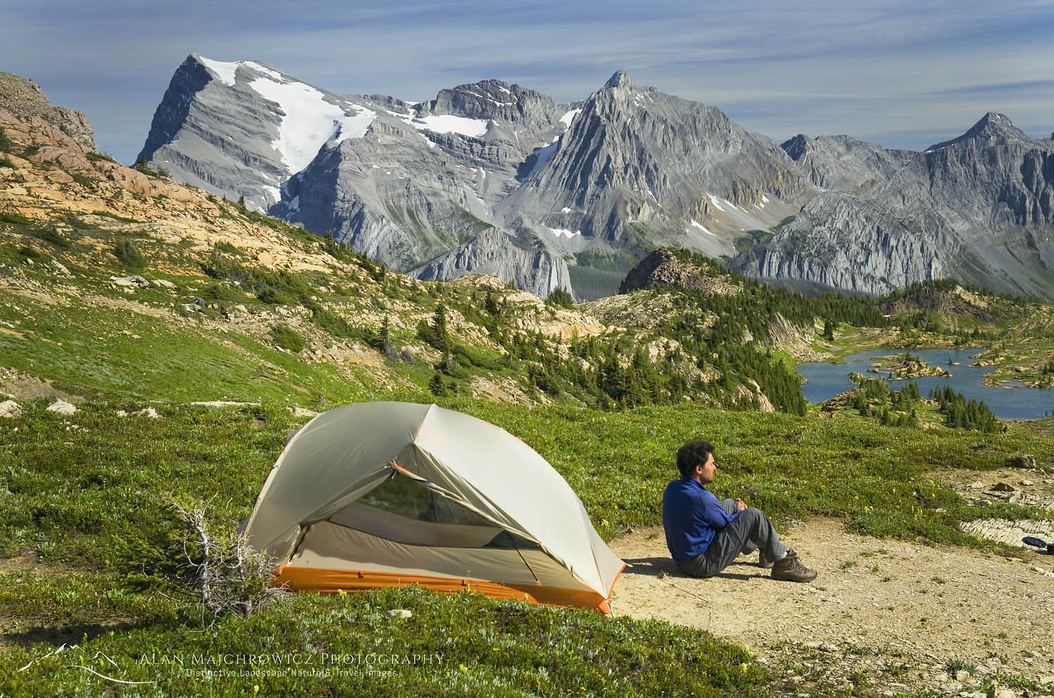
Height of the Rockies backcountry camp Summer Photography Tour 2019Height of the Rockies backcountry camp  #46205

List of Locations

Below is a tentative list of locations included on this lengthy trip. If you have any locations you’d like me to include, or if you’re in any of these areas and would like to meet up, just drop me an email!

Sawtooth Mountains and hot springs
Wind River Range Wyoming
Grand Teton National Park

Yellowstone National Park
Beartooth Highway
Missouri River Breaks Montana
Glacier National Park
Waterton Lakes National Park
Height of the Rockies Provincial Park

Scroll down to see even more photos!

McGown Peak Sawtooth Mountains, IdahoSawtooth Mountains Wildflowers  55923  Purchase

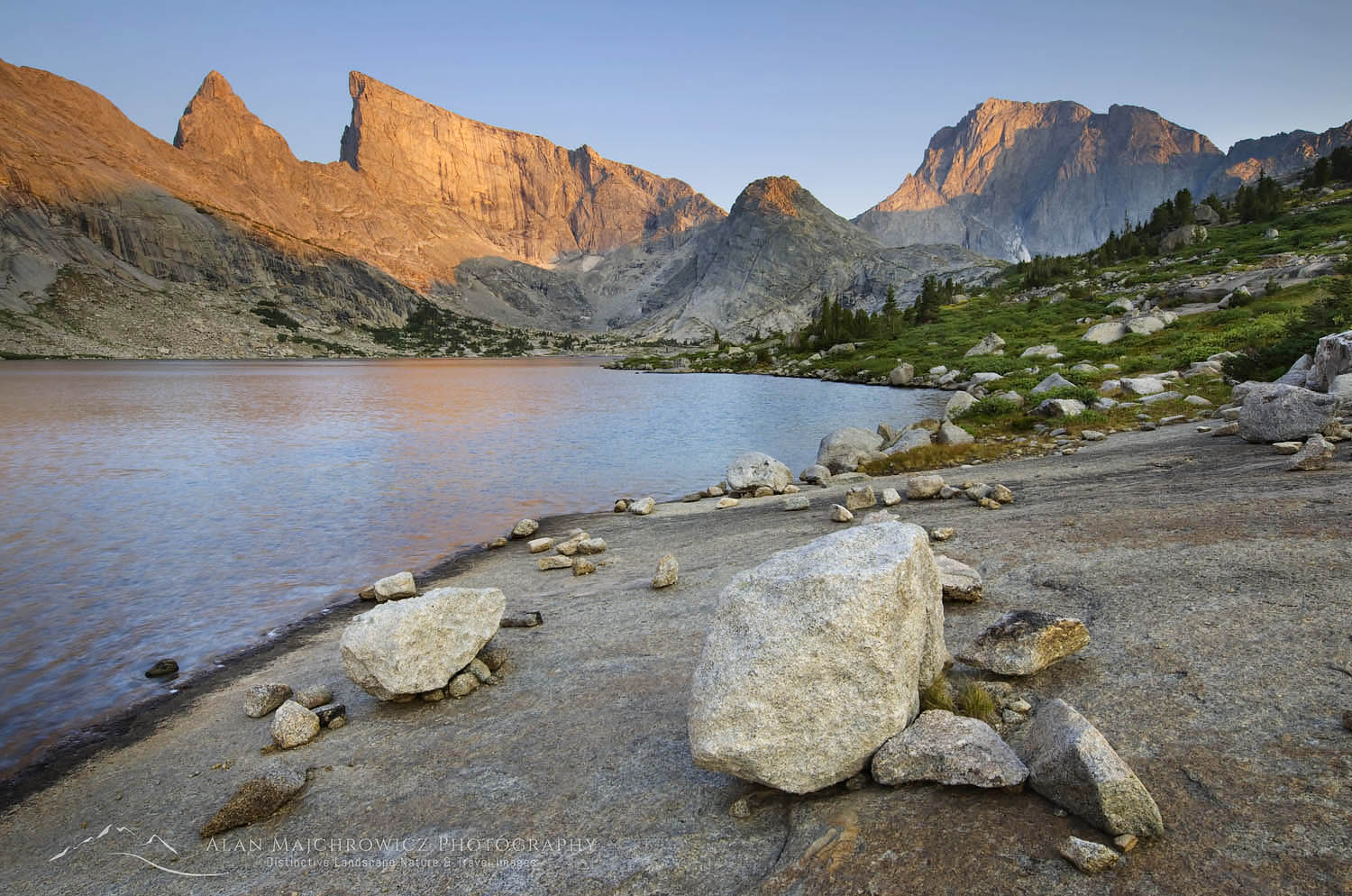
Deep Lake, Wind River Range WyomingDeep Lake Wind River Range  #49281  

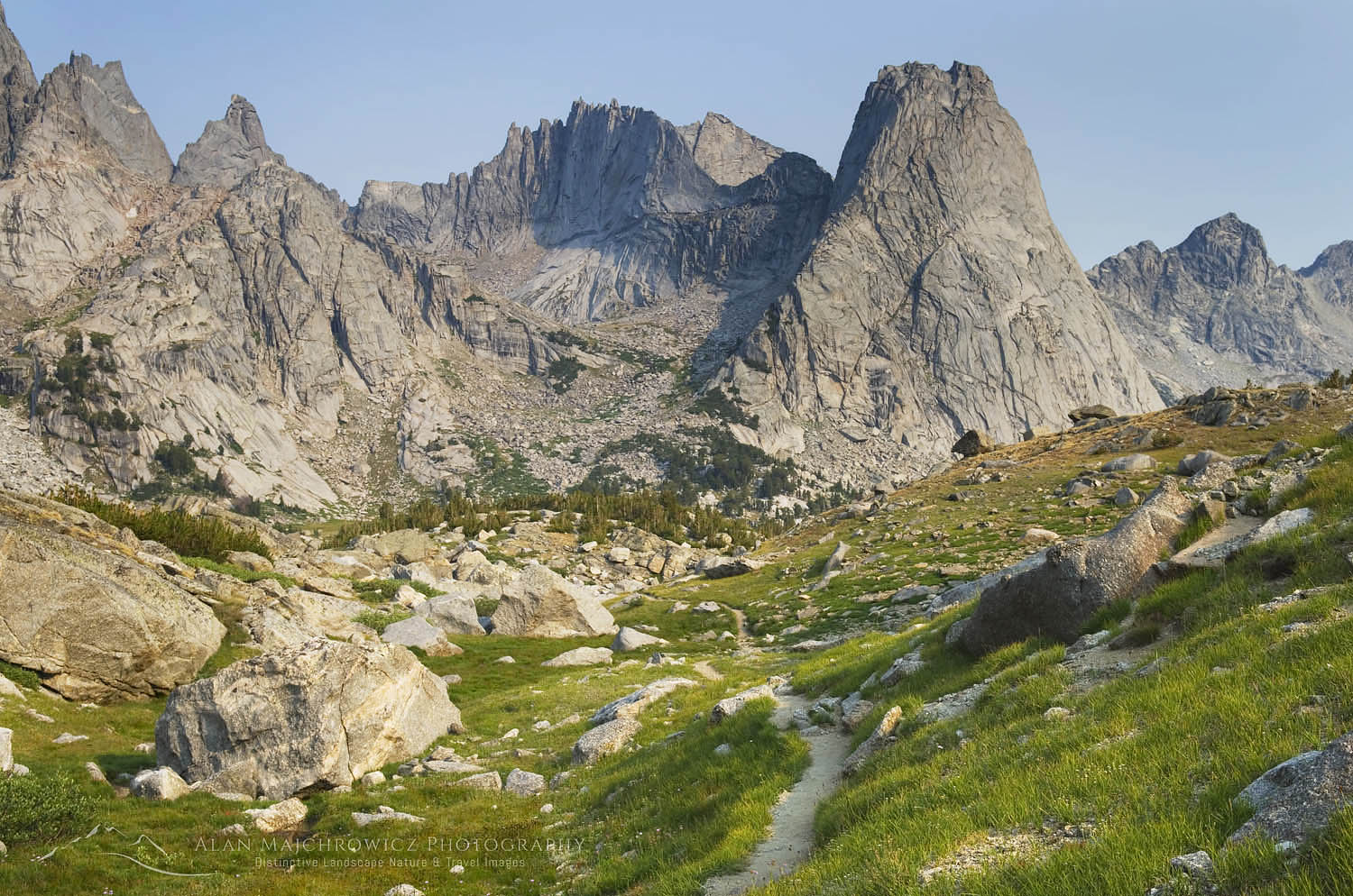
Cirque of the Towers, Wind River Range WyomingCirque of the Towers Wind River Range  #49241  Purchase

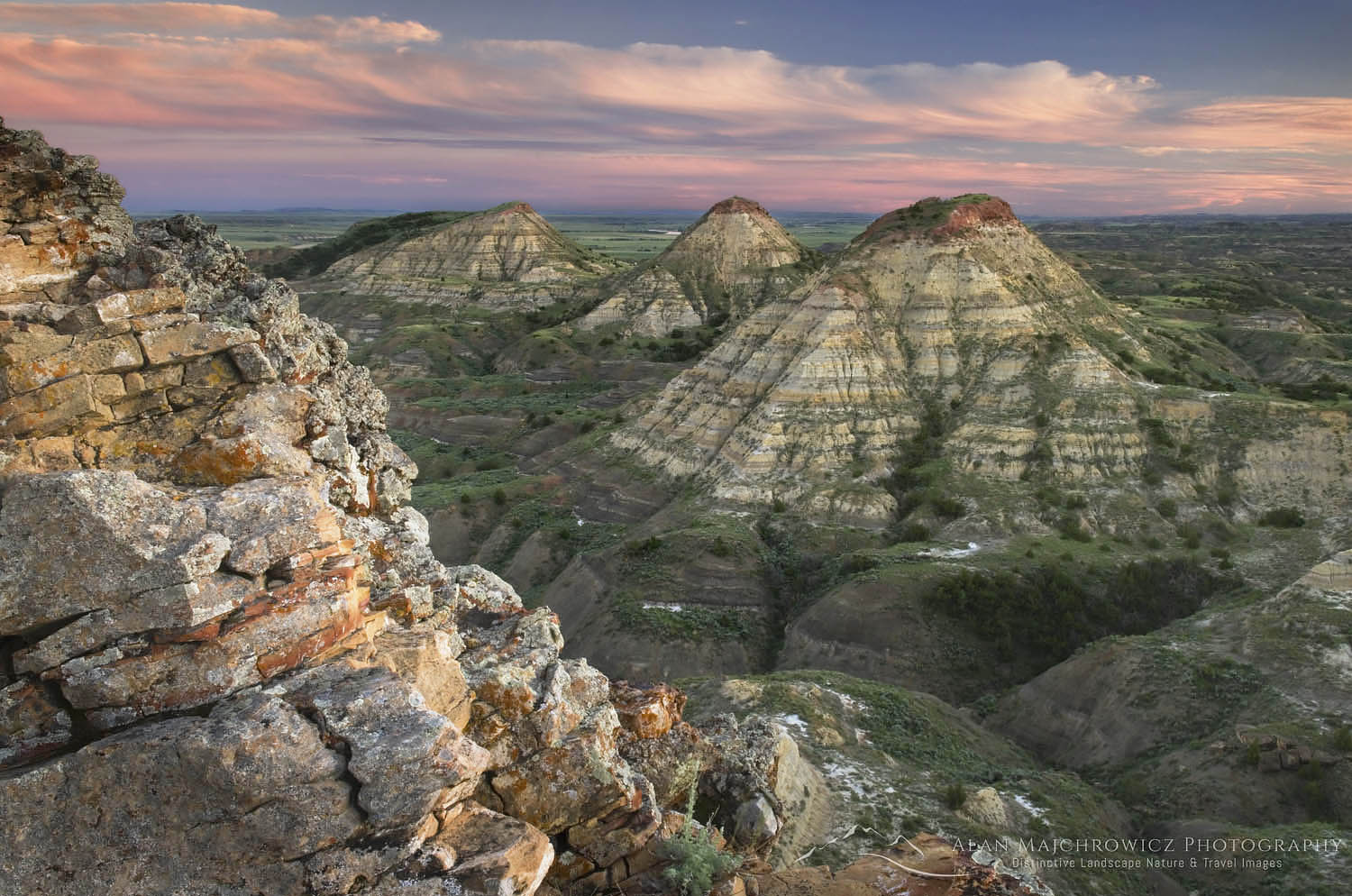
Terry Badlands in Southeast Montana at sunsetTerry Badlands Montana  #52614  Purchase

Mount Gould and Lake Josephine, Glacier National Park MontanaLake Josephine Glacier National Park #4704  Purchase

Limestone Lakes, Height-of-the-Rockies Provincial ParkLimestone Lakes Height of the Rockies  #46239  Purchase

Limestone Lakes, Height-of-the-Rockies Provincial ParkLimestone Lakes Height of the Rockies  #46248  Purchase

Summer Photography Tour 2019

Lime Kiln Lighthouse San Juan Island Washington

Lime Kiln Point State Park

Lime Kiln Point State Park

Lime Kiln Lighthouse San Juan Island Washington #64955Lighthouse at Lime Kiln Point#64955  Purchase

Lime Kiln Point State Park is located on the west side of San Juan Island in the San Juan Islands of Washington State. Facing Haro Strait and Vancouver Island, the park is one of the best spots in the world to view wild killer whales from the land.

The park is not very large, and it isn’t a quick drive destination. In fact, it can take a bit of prior planning to make a trip worthwhile. This is mainly due to the need to take a ferry to Friday Harbor on San Juan Island. Since the park and ferry terminal are on opposite sides of the island you’ll also need to take your vehicle along for the ride. But don’t think you can just drive up to the terminal and be loaded on the ferry! The San Juan Islands are a very popular destination, especially on summer weekends. So to avoid ruining your outing you’ll need to reserve a spot in advance. Scroll down to the bottom of this post for some travel tips!

Killer Whales San Juan IslandsKiller Whales off San Juan Island

Marine Life

If you’re visiting Lime Kiln Point for viewing marine life you won’t be disappointed. The surrounding waters are home to the Southern Resident Killer Whales. They are a group of about 75 killer whales, or orcas, that live for most of the year in this part of the Salish Sea. Aside from orcas, sea lions, seals, porpoises, and minke whales frequent these waters.  On our visit, there were numerous sea lions playing close to the shore. But don’t expect close-up personal views of orcas, they swim farther offshore. Bring your binoculars or spotting scope for good views, predictably we forgot ours. The photo above is from several years ago on a whale-watching tour.

It should be noted here that the Southern Resident Killer Whales are considered an endangered species. Their population has dropped from 85 to 75 individuals in recent years. This is mainly due to a drastic reduction of their prime food source, coho salmon. Their situation is compounded by numerous other factors, including increased stress due to noise levels from pleasure boats and freighter traffic. To learn more please check out the Center for Whale Research.

Roche Harbor San Juan Island Roche Harbor  #64910  Purchase

Touring San Juan Island

The park was our main destination for photos, but since we arrived early we had all day to explore the entire island for more subject matter. Another lighthouse at Cattle Point at the southern tip of the island was on my shoot list. However, the lighting conditions there we not very good so I’ll need to return in the future to photograph it.

Roche Harbor is a historic seaside resort town on the northwest tip of San Juan Island. Here can be found Hotel De Haro, the state’s oldest continually operating hotel, in business since 1886. Judging by the looks of it Roche Harbor is the go-to destination for the yachting crowd. There is plenty of lodging and dining here, along with a general store well stocked with a variety of wines.

While on San Juan Island you can also check out English Camp and American Camp. These are part of San Juan Island National Historical Park. Not many people know that The United States and Great Britain nearly went to war in 1859 over possession of the island. The only casualty of this near conflict was a pig. Thus the incident went down in history to be known as The Pig War.

Container Ship Strait of Juan De Fuca Salish Sea Container Ship #64926  Purchase

Photographing at Lime Kiln

After our short tour of the Island, we drove back to Lime the park in time for evening light and sunset. The lighthouse is the most obvious subject matter here. However, there are also great views south of the Olympic Mountains. I found them to work well as a backdrop for telephoto shots of freighters, and also on their own. Of course, there is also marine life. You’ll need a good telephoto lens for photographing killer whales.

Lime Kiln Lighthouse, Lime Kiln Point State Park, San Juan Island, Washington #64945Lime Kiln Point Lighthouse #64945  Purchase

The lighthouse photographs are best in the evening and at sunset. There are plenty of excellent spots on the rocky shore to set up different compositions. A variety of focal lengths will work here, from wide to short telephotos. The classic south-side view of the lighthouse will be illuminated much better in winter when the sun is further south. However, at that time you’ll need to create a wide panoramic to include the sunset and structure in the same frame. In summer, the north side will be in sunlight. Then you can photograph the lighthouse looking south with the Olympic Mountains as a backdrop. Unfortunately, from this angle, there are few spots to set up your tripod, so getting a good composition may be difficult.

Lime Kiln Lighthouse San Juan Island Washington Lime Kiln Point State ParkLime Kiln Lighthouse #64906  Purchase

How to get to Lime Kiln Point

As mentioned above, you’ll need to review the ferry schedule carefully and reserve a vehicle spot in advance. You can still drive on without a reservation, but I definitely wouldn’t recommend it. On a Friday or Saturday in summer it appears like everyone in the state is going to the islands. You won’t need a reservation if you are just walking on or taking a bicycle. But remember the park is not within walking distance from the ferry terminal at Friday Harbor.

Ferry approaching Orcas Island dockSan Juan Islands Ferry  #64889  Purchase

There are two ferry routes to Friday Harbor, one is a direct nonstop passage from Anacortes. The other makes three stops, at Lopez Island, Orcas Island, and Shaw Island. If you have the time I recommend the latter. It’s a much longer passage but more scenic as the ferry sails past numerous picturesque islands. If possible, try to time your return ferry passage for the evening before sunset. There are excellent photo opportunities then, with the islands and Mount Baker bathed in warm light!

Thanks for reading this post, I hope you enjoyed it. Please consider sharing it with friends family and colleagues!

All photos on this post are available as fine art prints and for commercial licensing.

Castle Peak North Cascades

Manning Park Winter Photography

Manning Park Winter Photography

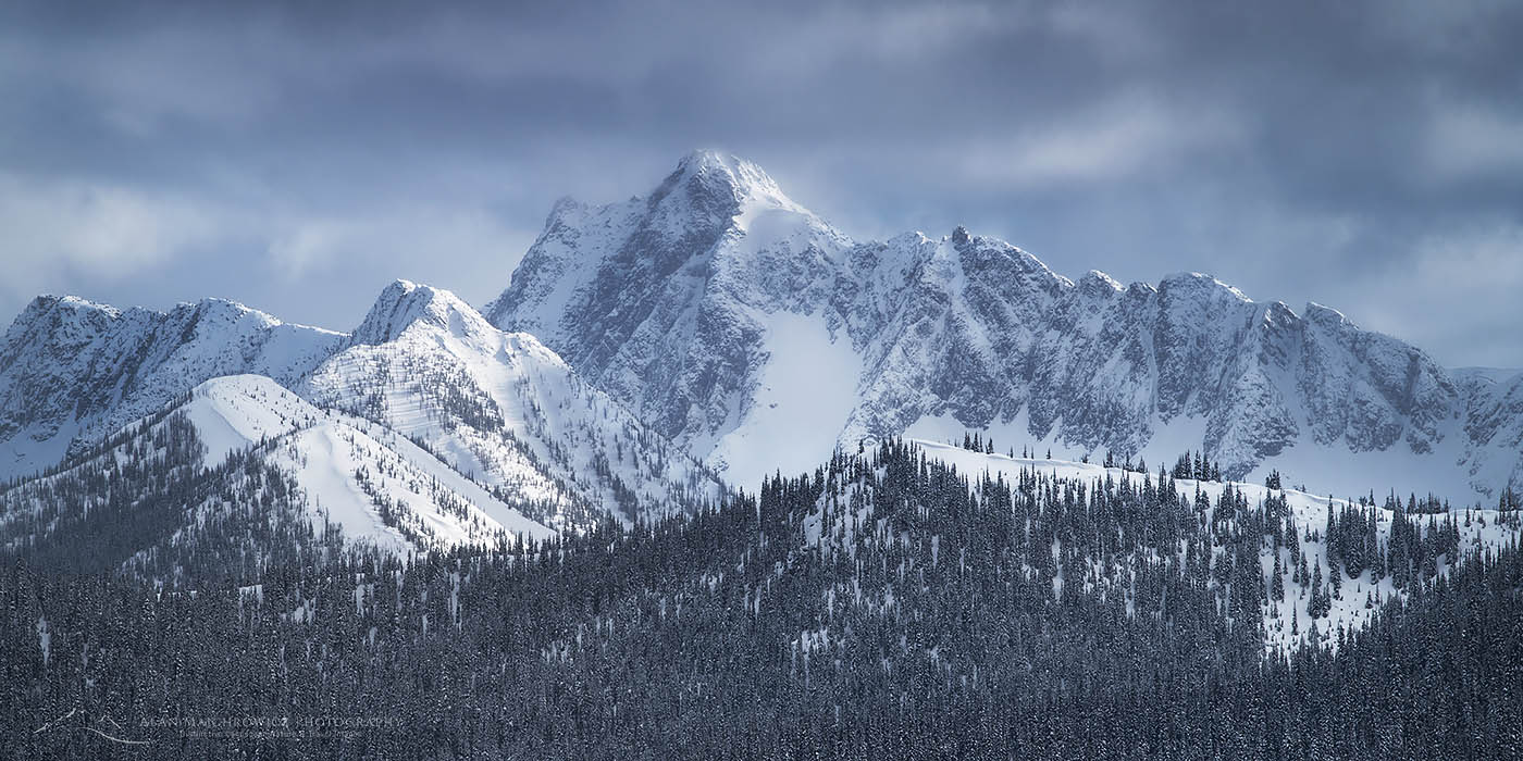
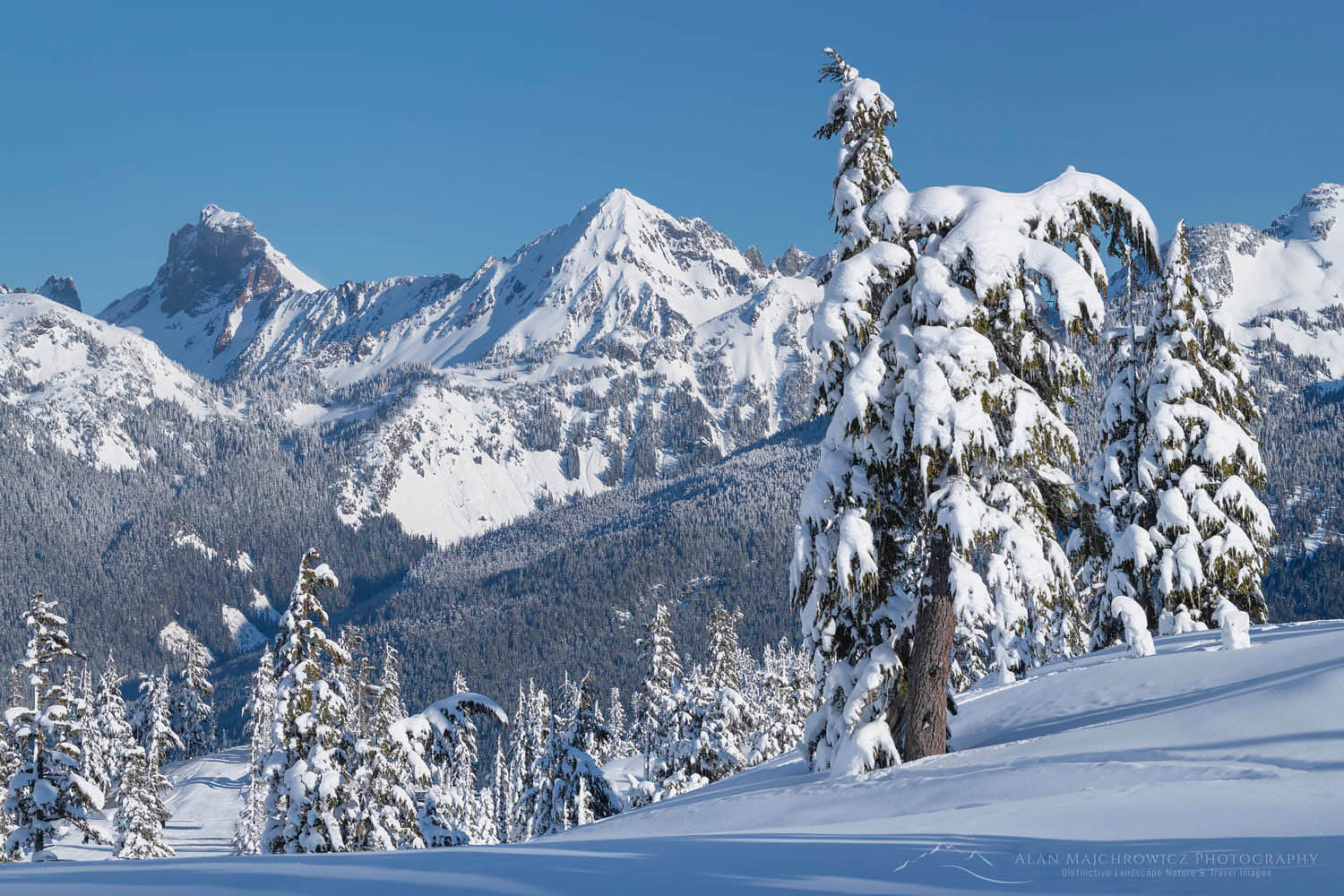
Castle Peak North CascadesCastle Peak North Cascades #64796  Purchase

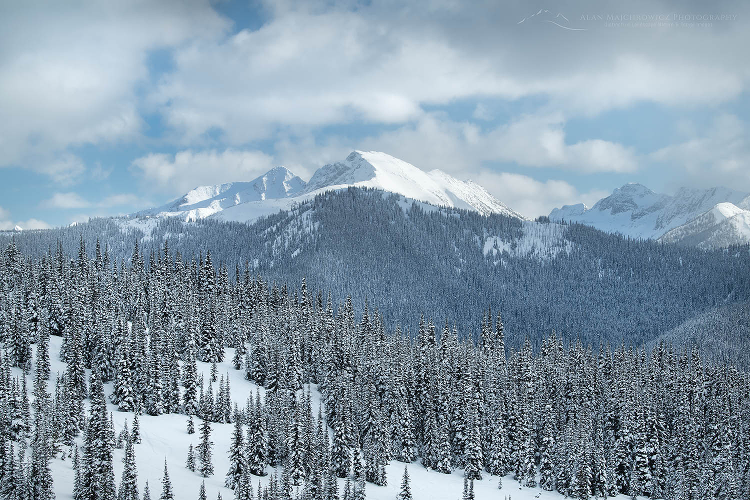
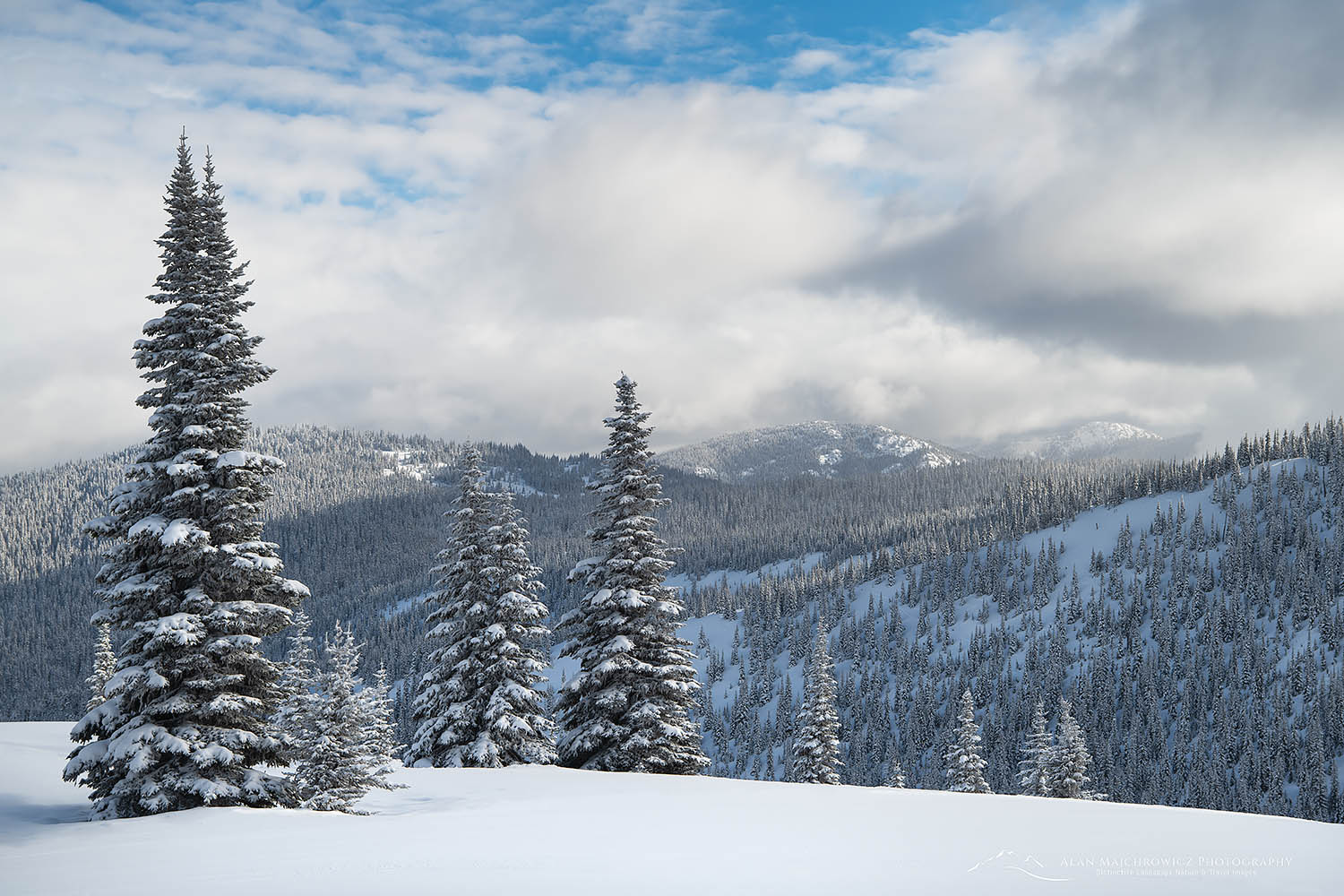
Last week I made a trip to Manning Provincial Park for winter photography and skiing fun. Weather forecasts were for cold temperatures and a good amount of fresh snow. Perfect conditions to make some new winter photos.

Manning Provincial Park is a large park in southern British Columbia. It encompasses the northern reaches of the North Cascades Mountains, along the U.S. Washington State border. On the U.S. side, the mountains present a rugged appearance with high jagged peaks. However, in Manning Park, the range mellows out into high mountains with more rounded summits. Just north of the park the North Cascades ends, and gives way to the Thompson Plateau.

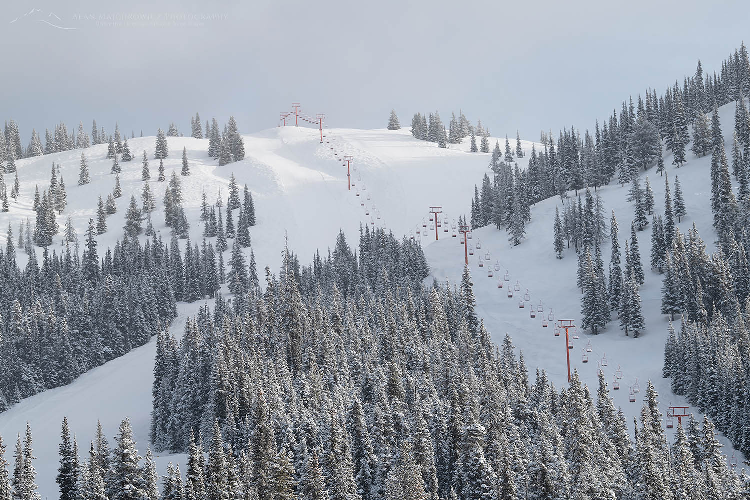
Gibson Pass Ski Area, Manning Provincial ParkGibson Pass Ski Area Lifts  #64771  Purchase
Skiing Manning Park

In summer, hikers in Manning Park can find some great trails offering high views and meadows of wildflowers. In winter, the park offers a network of cross-country ski trails in addition to the small Gibson Pass downhill ski area. Backcountry skiers and snowshoers can also find fresh snow and solitude on the Fat Dog ski route to the Brothers Mountain group.

On this trip, I took advantage of both the Nordic trails and the downhill ski runs. Manning Park’s Gibson Pass Ski Area offers a bit of a unique experience in the Pacific Northwest. Most ski areas in this region receive a copious amount of heavy wet snow, often referred to as Cascade Concrete. Manning Park, on the other hand, often has colder powdery snow due to its more inland location.

A few other things set Manning apart. For one, it has a laid-back retro feel, perfect for families and avoiding adrenaline junkies. Also, while the big resorts like Whistler Blackcomb charge a staggering $180 (Canadian) for a single lift ticket, Manning charges only $59 (Canadian). Plus, there are usually no lift lines. On my recent midweek visit, I skied directly onto the chair each time! The downside to these benefits is that there are only two chair lifts, with only one operating on midweek. The vertical drop is a modest 1400′.

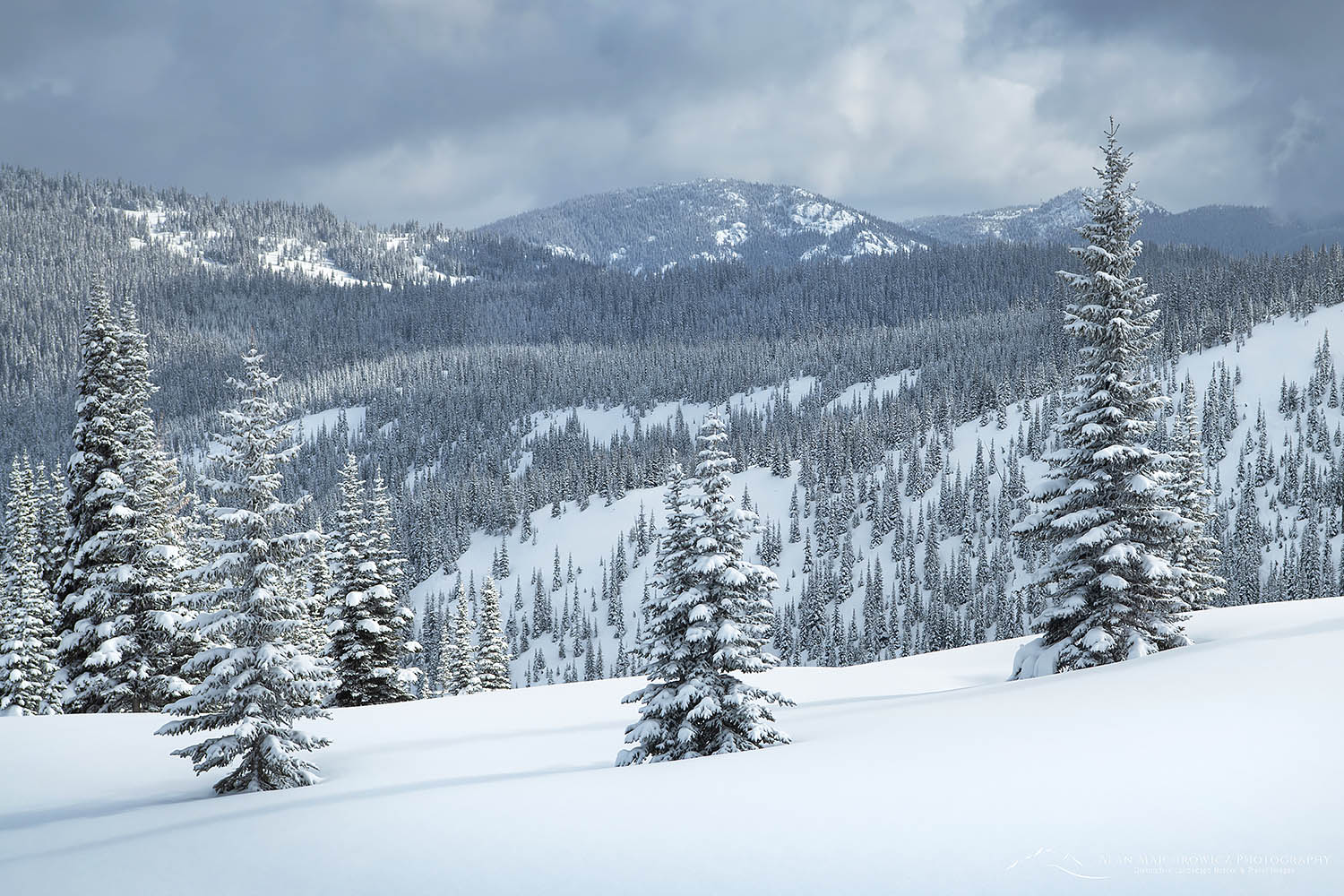
North Cascades Winter, Manning Provincial ParkManning Park in Winter  #64780  Purchase
Winter Photography in Manning

While the Nordic trails are fun, they usually don’t offer much in the way of landscape photography. Therefore, I made a point of taking advantage of the views offered from the top of the ski lifts. From the ridge top, the views south into the Washington North Cascades are very good. The two dominant peaks in that direction are Hozomeen Mountain and Castle Peak. Further west are the jagged peaks of Mount Spickard, Mox Peaks, and the northern Pickets, in North Cascades National Park. To the north are the rounded summits of Three Brothers and Big Buck Mountains.

To photograph the twin summit towers of Hozomeen and the Pickets, you’ll want to be on the ridge top early in the morning. However, unless you hike up to the ridge before dawn, you’ll be limited by the ski lift schedule. The lifts open at 9:00 so you’ll miss the sunrise. Of course, depending on lighting and snow conditions, you can still make good photos throughout the day. If you want to get to the top only for the views, you can purchase a one-trip lift ticket.

Later in the afternoon, both Castle and Frosty Mountains will begin to receive warmer light. Note that until late spring, the north faces of Castle and Hozomeen will be mostly in shadow.

North Cascades Winter, Manning Provincial ParkManning Park in Winter  #64783  Purchase
Timing is Everything

While having great light is always imperative in photography, another important consideration for winter photography is timing the snow conditions. In winter, most of the landscape will have a blanket of snow over it. However, trees and forests without snow on them will become black holes for light against all that white.

In my opinion and experience, the best conditions can be had just after a storm dumps fresh snow on the trees. This sounds simple and obvious, but it can be tricky. Often in the Northwest, a warmer, wet snowstorm is followed by sunny conditions, which melt snow off tree branches very quickly. That pristine scene can be gone within a few hours!

Frosty Mountain North Cascades British ColumbiaFrosty Mountain Manning Park  #64791  Purchase

Colder drier locations such as the Rockies present another dilemma. The snow can be so cold and dry that very little to no snow may adhere to tree branches. Unlike the coastal Northwest where wet snow acts like glue on everything. In cold locations and conditions, a slight breeze can also remove the snow as easily as warm sunshine.

In the end, winter photography can be more fickle than photographing spring wildflowers or perfect autumn colors. Depending on weather patterns where you live or are able to travel, there may be only a couple of good opportunities a season. So keep a close eye on those forecasts and be ready to go at a moment’s notice!

North Cascades Winter, Manning Provincial ParkManning Park in Winter  #64778  Purchase
If You Go to Manning Park

Driving time to Manning Park is about 4.5 hours north of Seattle, and two hours from Vancouver. Winter camping is available, as are RV hookups at Gibson Pass Ski Area. Manning Park Resort also offers excellent lodge and cabin facilities, along with a restaurant, grocery store, and gas. Cell phone signal is limited to the immediate lodge area.

Want to Learn More?

Would you like to learn more about photographing in Manning Park and or winter photography? I offer full-day, half-day, and multi-day photo tours and instruction. Check out my Private Instruction/Tours page for more info, or contact me directly. I would love to help you take your photography to the next level and shoot like a pro!

Minimalism Photography Gallery

Minimalism Photography Gallery


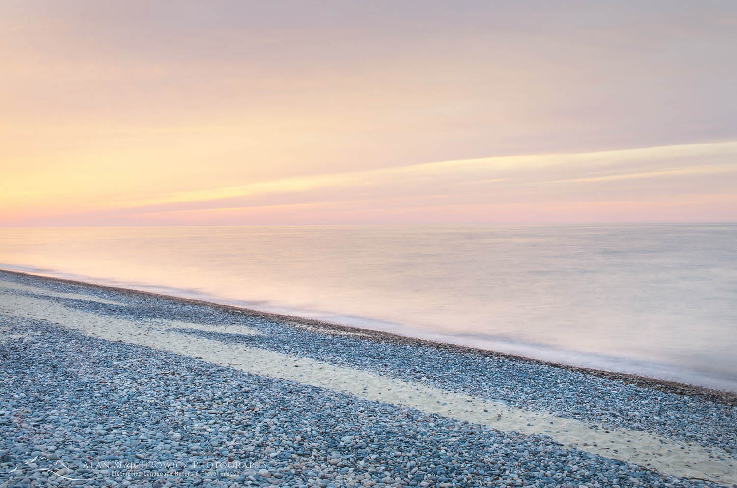
Lake Superior twilight Whitefish Point, Michigan Minimalism Photography GalleryLake Superior Whitefish Point Michigan #63803  Purchase
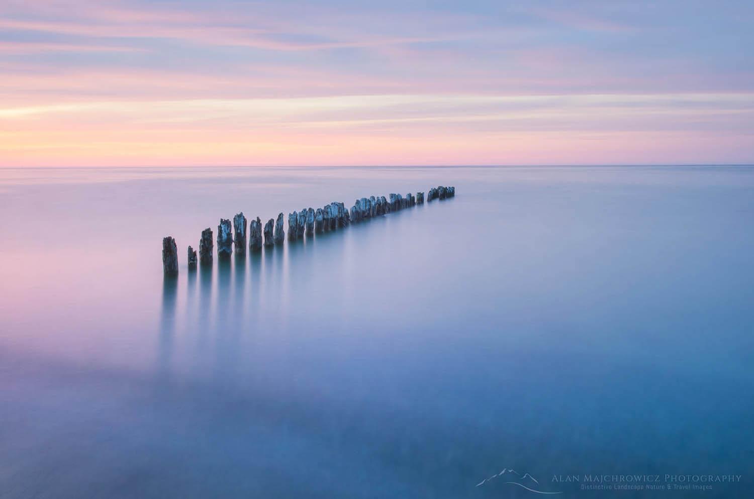
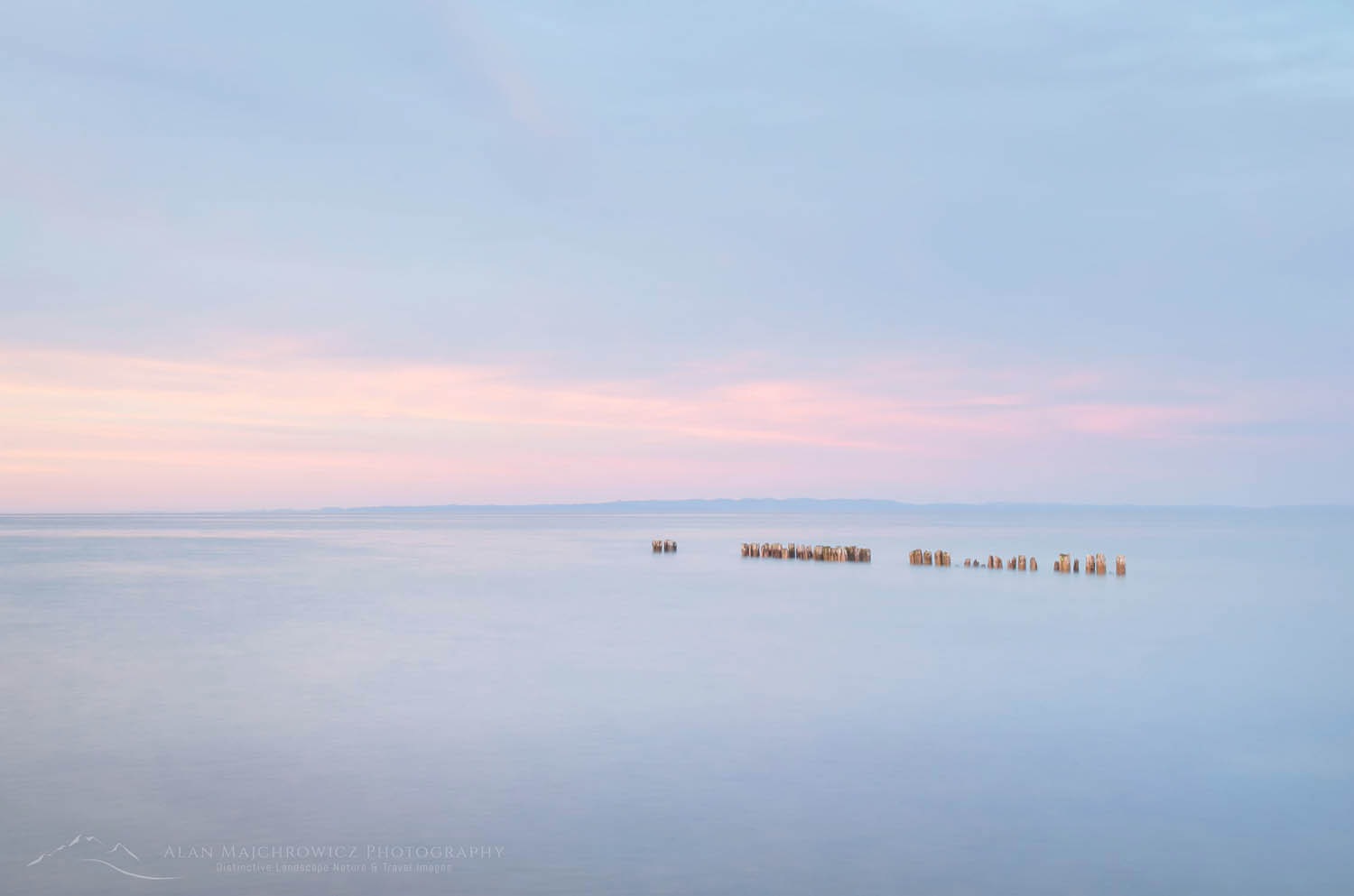
If you browse through my website you’ll see that I employ many different styles of photography. Likewise, I don’t like the idea of limiting myself to one method of photographing landscapes and nature. Minimalist photography is one approach that has always inspired me. I love how a simple composition can tell a story.

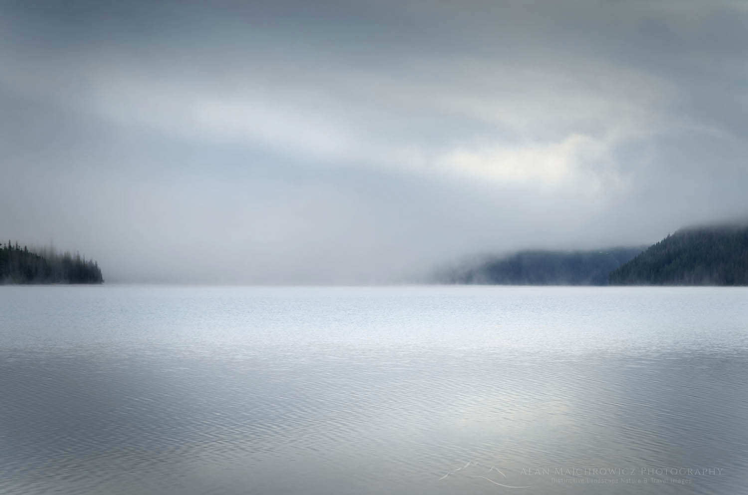
Consequently, my archives of minimalist photographs continue to grow.  Therefore, I’m presenting a new Minimalist Photography Gallery showcasing this evocative style. Most of the images in this gallery implement elements of earth, sky, and water. In addition, in some photos, high-key lighting and pastel tones are used to complete the mood. Please take a look when you get a chance. Also, feel free to comment and share with friends and colleagues. Click here to view the gallery.

Lake Superior at Whitefish Point Michigan Minimalism Photography GalleryLake Superior Whitefish Point Michigan #63785  Purchase
What is Minimalism Photography?

Minimalism uses empty spaces, colors, patterns, textures, and shapes. These simple elements properly composed can bring focus to the subject. This alone can often be enough to convey a concept or elicit an emotional response.

Visual noise in today’s world increases every day. Images overwhelm us with color, patterns, and information. And they are constantly bombarding us at breakneck speed. All of this can leave a person with a feeling of mental exhaustion. On the other hand, minimalist images can offer a relaxing break from our increasingly stressful world.

Lake Superior at Whitefish Point Michigan Minimalism Photography GalleryLake Superior Whitefish Point Michigan #63784  Purchase

For example, the healthcare industry often displays minimalist artwork in their facilities. Simple shapes and tones can bring a calming atmosphere to anxious patients. In addition, businesses are also recognizing this benefit. Many offices also use minimalist artwork to relax stressed employees and increase productivity.

All of the images in this post, and gallery, are available as fine art prints. They are also available for commercial and editorial licensing.

Please scroll down to see more!

Redfish Lake, Sawtooth National Recreation Area Idaho Minimalism Photography GalleryRedfish Lake Sawtooth Mountains, Idaho  #56206  Purchase

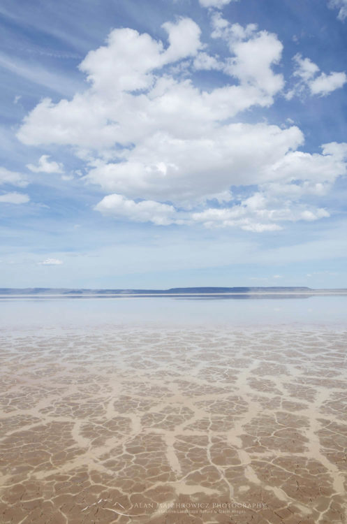
Alvord Lake OregonAlvord Lake Oregon  #60974  Purchase

Lake Superior Whitefish Point Upper Peninsula Michigan Minimalism Photography Gallery Lake Superior Whitefish Point Michigan #63785  Purchase

Want to Learn More?

Would you like to learn more about minimalism photography? I offer full-day, half-day, and multi-day photo tours and instruction. Check out my Private Instruction/Tours page for more info, or contact me directly. I would love to help you take your photography to the next level and shoot like a pro!

Minimalism Photography Gallery


Mount Shuksan in winter North Cascades

Photographing Heather Meadows Winter Landscapes

Photographing Heather Meadows Winter Landscapes

Mount Shuksan in winter North Cascades Photographing Heather Meadows Winter LandscapesMount Shuksan From Austin Pass #64716  Purchase

Heather Meadows Recreation Area is located adjacent to the Mount Baker Wilderness in the North Cascades. Magnificent scenery and numerous hiking trails are the highlights of this special place. In summer visitors can drive to Artist Point on Kulshan Ridge for incredible views of Mount Baker in one direction, and Mount Shuksan in the other. Further down is one of the most iconic mountain scenes in the world, Mount Shuksan reflected in Picture Lake.

In winter Heather Meadows is just as popular a place to visit. The adjacent Mount Baker Ski Area is open, and throngs of backcountry skiers and snowboarders search for untouched powder. January usually provides some breaks in the winter storms, so it’s a good time to make the trip up.

I’ve been visiting Heather Meadows in winter for over twenty years. Mostly for photography but also for the pure exhilaration of the views and crisp cold air. Even though I’ve skied up to Artist Point on Kulshan Ridge numerous times I always find something new to photograph. Different lighting conditions and reshaping snow-pack will always dress up the scene in a new way. All the photos in this post were taken a few weeks ago on a crisp day in late January.

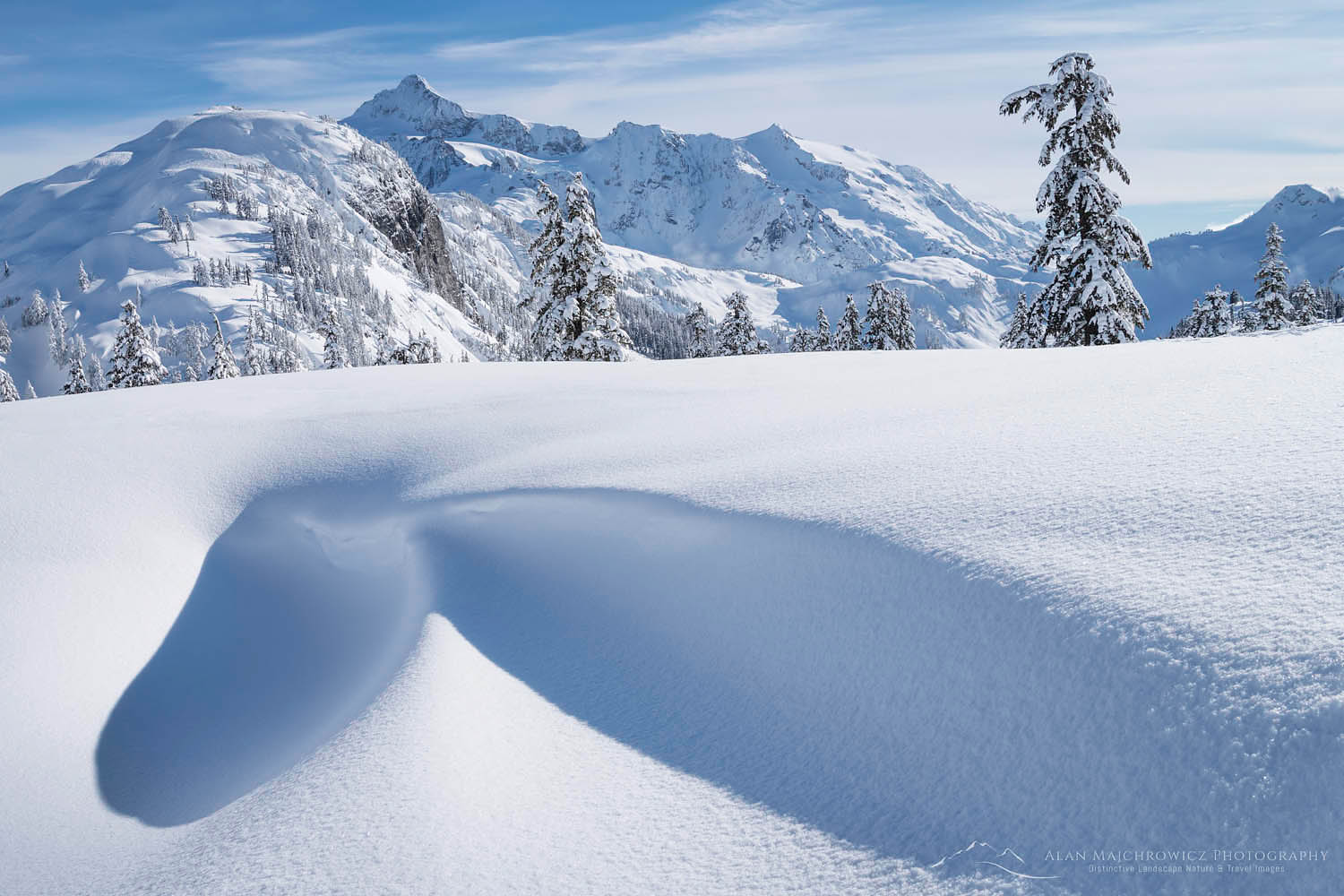
Mount Shuksan in winter North Cascades Photographing Heather Meadows Winter LandscapesMount Shuksan and Snowdrift Kulshan Ridge #64337  Purchase

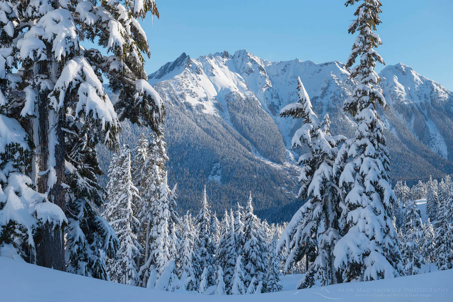
Up near the ridge you can find wonderful shapes and patterns in the ever-changing snowdrifts. If you are lucky enough to visit just after a heavy storm you’ll also see old-growth mountain hemlock trees encased in snow and ice. Also, if you are extraordinarily lucky you may get a glimpse of a steam plume from Mount Baker’s volcanic crater glowing in the evening light!

Swift Creek Valley North Cascades WashingtonSwift Creek Valley from Kulshan Ridge #64728  Purchase

Winter Travel Gear Tips

If you go there are a few things to keep in mind. Snowshoes, backcountry skis, or split-board snowboards are the most efficient means of getting around. Skinny cross-country skis, or booting it in for even a short distance from the parking lot is exhausting in the deep snow, you’ll be drenched in sweat within minutes. Artist Point is less than two miles and 900′ elevation gain from the parking lot. However, with all your extra winter travel gear that distance can seem much longer.

Don’t even think of going during poor weather! Whiteout conditions, heavy wet snow, and increased avalanche danger do not make for an enjoyable outing. It seems every year there are a couple of fatalities directly attributed to those types of conditions. The main route up to Artist Point and Kulshan Ridge is usually safe from avalanches. However, under certain conditions, a few areas can be dangerous.

I won’t get into too much detail regarding essentials, but make sure you take the following:

  • Extra warm clothes, it can be windy and much colder on the ridge.
  • Plenty of liquids to stay hydrated
  • High energy snacks
  • Insulated pad to sit on
  • Avalanche beacon, probe, shovel, and knowledge of how to use them.
  • Knowledge of current weather and avalanche forecasts
  • A partner is especially important if you’re new to the area in winter, or venture beyond Artist Point
  • Common Sense!

Nooksack Ridge in winter North Caascades WashingtonNooksack Ridge from Heather Meadows #64748  Purchase

Photo Gear and Tips

Just like photographing wildflowers in spring or colorful fall foliage, winter photography is all about timing. Maybe even more so. I’m always on the lookout for good conditions. Such as after a good storm covers the trees and peaks in a fresh blanket of snow. Of course, it must not be too warm or the snow will quickly melt off the trees and leave them black silhouettes against the white snow.

Photographing from Artist Point, Mount Baker is best photographed in the early morning. Mount Shuksan is best photographed in the late afternoon to evening. For Shuksan, late winter or early spring is preferred, since the angle of the sun won’t be as low. You’ll get more light on the glaciers then.

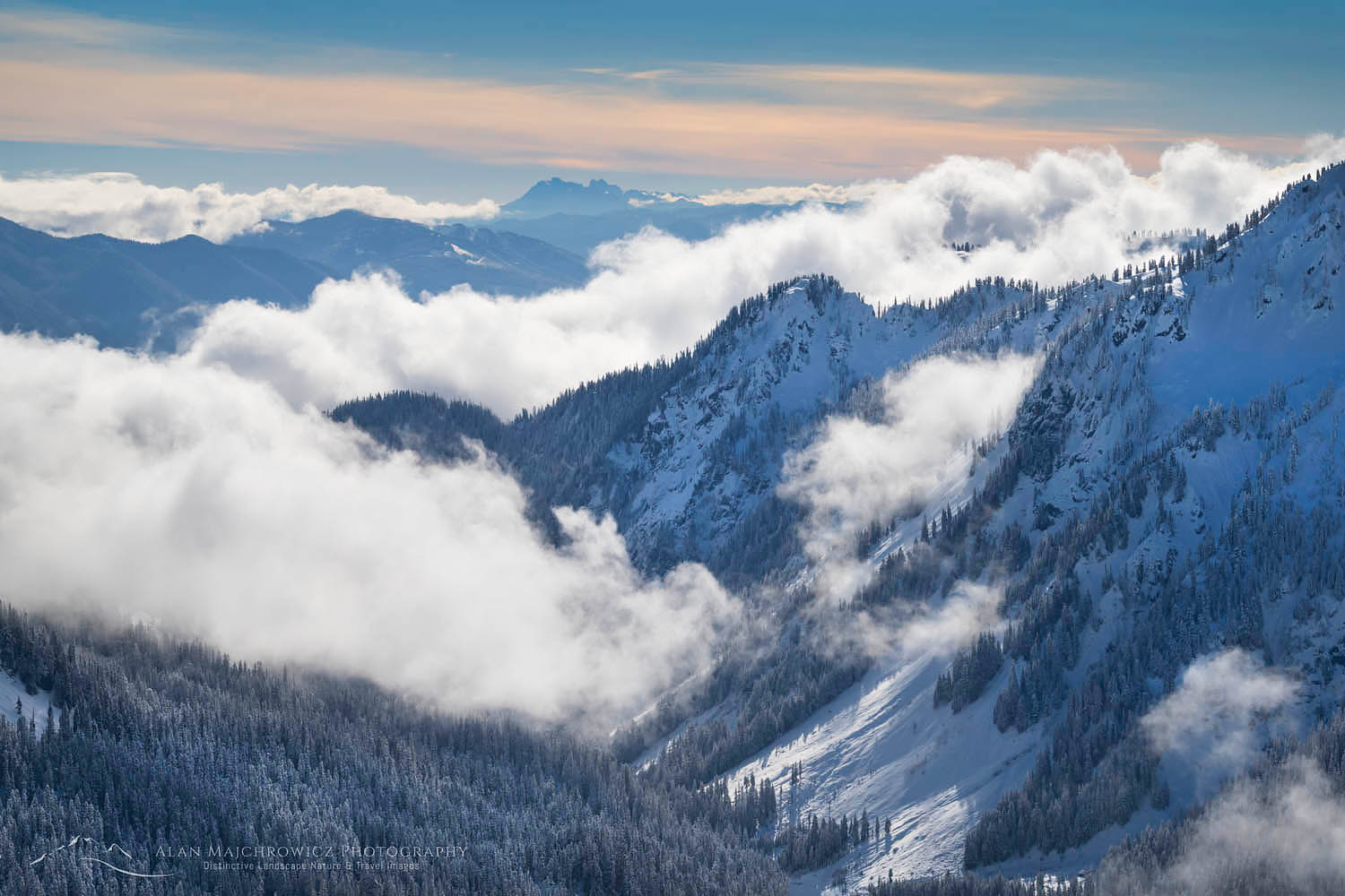
For lower down in Heather Meadows morning light can be optimal. Some of the best conditions I’ve seen here are when low clouds or fog are just beginning to lift.

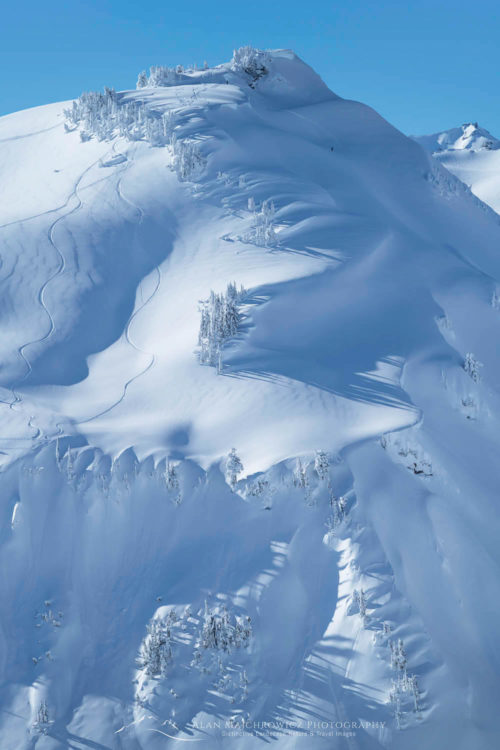
Backcountry skiing North Cascades WashingtonBackcountry skier and tracks North Cascades #64732  Purchase

If you are envisioning untouched pristine snow in your photos you’ll have to get there very early, and immediately after a good snowfall. Backcountry skiing and riding have exploded over the years. Therefore, even the most remote and steepest backcountry terrain is tracked out by midmorning. It’s now nearly impossible to take a photo anywhere in the Heather Meadows area without numerous tracks everywhere.

Before digital I often trekked the meadows and up to the ridge with a 4×5 large format camera, and all its weighty accessories. Several times I even did it with a full overnight winter pack! Digital has simplified and lightened the load somewhat. Here are a few basic items I always bring along.

  • Tripod
  • Polarizing filter
  • Some form of remote release
  • Plenty of microfiber lens cleaning clothes, you will drop things in the snow!
  • Extra batteries

Want to Learn More?

Would you like to learn more about winter photography? I offer full-day, half-day, and multi-day photo tours and instruction. Check out my Private Instruction/Tours page for more info, or contact me directly. I would love to help you take your photography to the next level and shoot like a pro!

American Border Peak and Mount Larrabee in winter Photographing Heather Meadows Winter LandscapesCanadian Border Peak and Larrabee Peak #64754  Purchase

Leave No Trace

Please, Please, Please!  Don’t plan a trip to this or any other national park, monument, or wilderness area unless you are prepared to follow Leave No Trace guidelines (LNT). National parks and wilderness areas worldwide are under incredible pressure from the growing number of visitors. So, please do your part to help preserve these precious areas for future generations!

Please visit the Leave No Trace Center for Outdoor Ethics to learn more about LNT’s principles. Your children and grandchildren will thank you!

LEAVE NO TRACE SEVEN PRINCIPLES

1. Plan and Prepare
2. Travel and Camp on Durable Surfaces
3. Dispose of Waste Properly
4. Leave What You Find
5. Minimize Campfire Impacts
6. Respect Wildlife
7. Be Considerate of Other Visitors
© Leave No Trace: www.LNT.org

Learn about how to protect the places we love to photograph
Visit the Nature First Website
Nature First the alliance for responsible nature photography

All photos appearing in Photographing Heather Meadows Winter Landscapes are available for Commercial Licensing and Fine Art Prints. Click on any image to purchase, or contact me for more info!

Photographing Heather Meadows Winter Landscapes