Photographing the Southern Avalon Peninsula Newfoundland
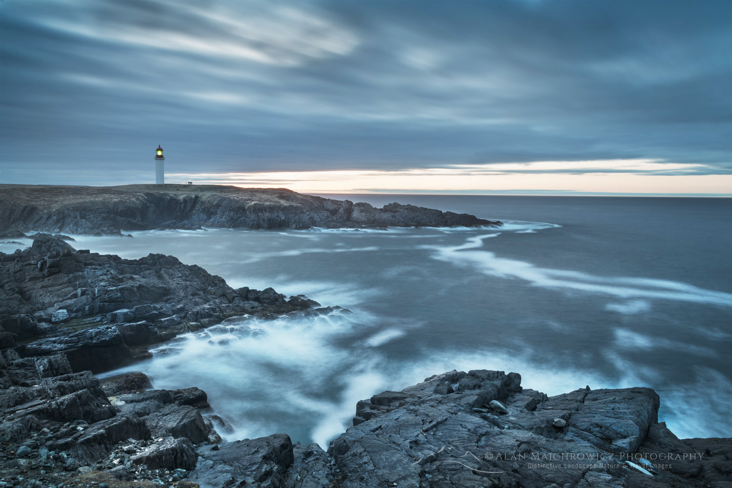 Cape Race Newfoundland #80605b Purchase
Newfoundland and Labrador is a large Canadian Province with unique environments and ecosystems. For a photographer on their first visit, deciding where to focus their time and efforts can be a confusing and overwhelming task. The Avalon Peninsula is the most accessible part of Newfoundland, with great photographic locations throughout. And most are only a few hour’s drive from St. John’s.
On the last leg of my first trip to Newfoundland and Labrador, I visited three locations in the southern part of the Avalon Peninsula: Cape St. Mary’s Ecological Reserve, Cape Race, and Mistaken Point Ecological Reserve. Of course, there are plenty more locations on the Avalon Peninsula, but that will have to wait for future trips.
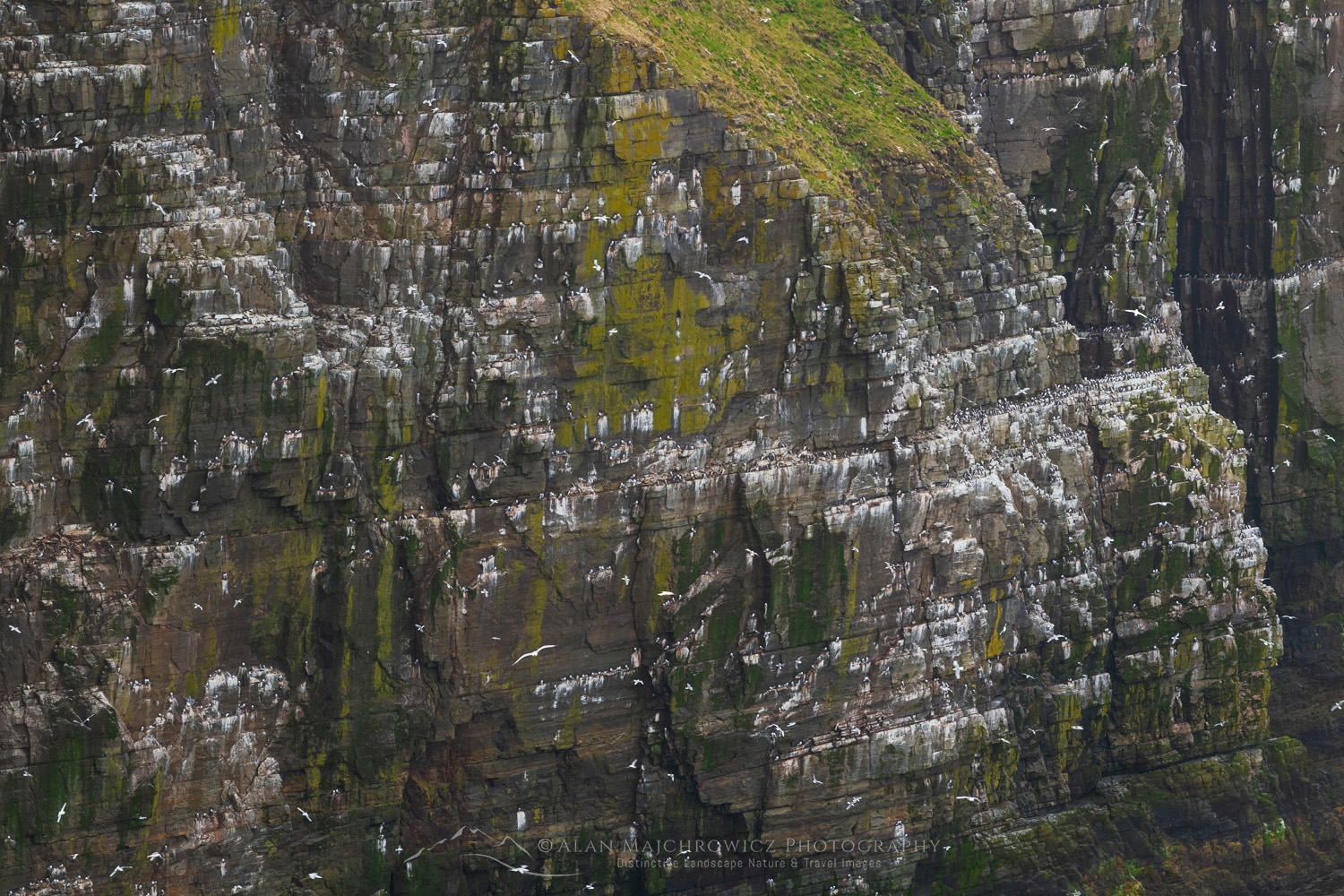 Cape St. Mary’s Ecological Reserve #80567 Purchase
Cape St. Mary’s Ecological Reserve
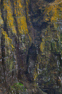
Only two hours south of St. John’s, Cape St. Mary’s Ecological Reserve is a wonderland for seabird enthusiasts and photographers. The reserve is the most accessible seabird nesting area in North America. Major colonies of northern gannets, thick-billed murres, cormorants, kittiwakes, razorbills, and more can be seen here. And if you’ve never seen large concentrations of seabirds nesting on cliffs, you are in for a major treat!
Aside from the attraction of seabirds, the high cliffs looking over the Atlantic Ocean and grassy meadows are gorgeous. The only drawback to this area is the hurricane-like wind that howls nonstop over the cliffs. The winds were so intense I almost didn’t bother hiking out to Bird Rock, where most of the nests are. Fortunately, I spoke with an interpreter at the visitor’s center, who assured me that the Bird Rock viewpoint is partially protected from the fiercest winds.
 Cape St. Mary’s Ecological Reserve #80570 Purchase
After a short windy hike through the grassy meadows, I arrived at Bird Rock, where the winds were more tame but still quite gusty. It was an awe-inspiring site. With so many birds nesting and flying around, my memory was taken back to an earlier trip to Iceland, where the populations of seabirds are immense and beyond counting.
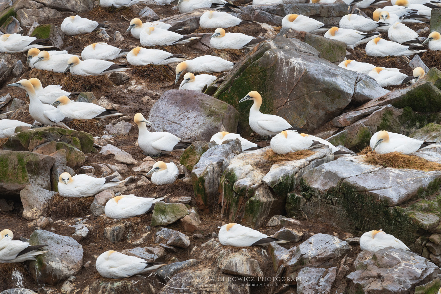 Northern Gannets on Bird Rock, Cape St. Mary’s #80557b Purchase
The viewpoint at Bird Rock is a fairly small outcropping on a cliff. Therefore, you’re limited by the lenses you have available. Being a landscape photographer, my longest lens is only 200mm. So, I couldn’t get the close portrait-like images I desired. But I did my best and thoroughly enjoyed watching the birds as long as possible.
 Cape Race Newfoundland #80558 Purchase
Cape Race
As the gannet flies, Cape Race isn’t very far from Cape St. Mary’s, but the drive was fairly long. This is due to the fjord-like nature of the southern Avalon Peninsula and the road following its contours. Cape Race is another one of those locations that makes you feel you’re at the end of the world. Also, the Marconi station at Cape Race was the first land station to answer the Titanic’s distress call in April 1912.
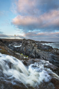 Cape Race Newfoundland #80593 Purchase
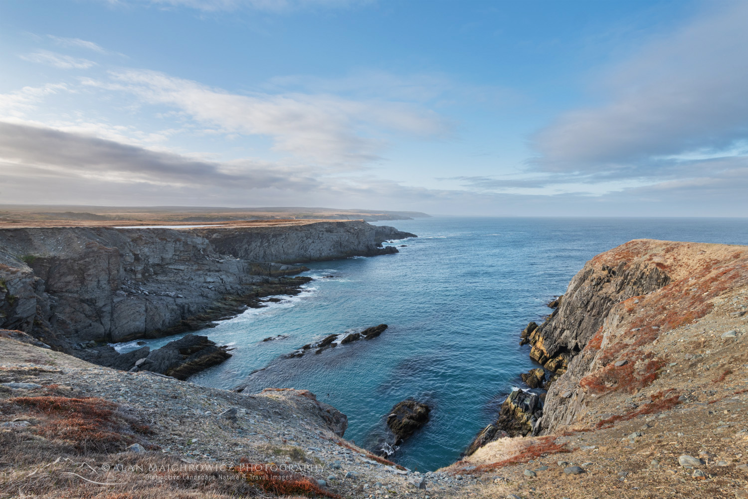 Cape Race Newfoundland #80589 Purchase
It’s about a 45-minute drive from the nearest town of Portugal Cove South, mostly on a gravel road. After leaving town, the terrain has a sub-arctic tundra feel despite being this far south. I’m guessing this results in incessant winds blowing over the low-lying area from the Atlantic.
The lighthouse at Cape Race was my main photography goal. But there were more opportunities among the low cliffs and sharp, jagged rocks in the surf. Unfortunately, the wind kept blowing hard, and with overcast weather, it was challenging to take photos.
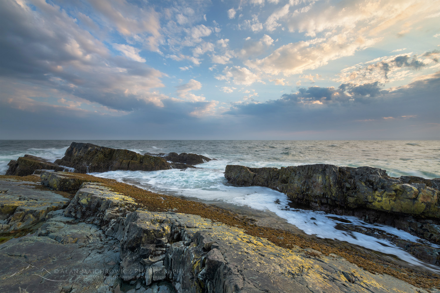 Daley Point Newfoundland #80701 Purchase
Mistaken Point Ecological Reserve
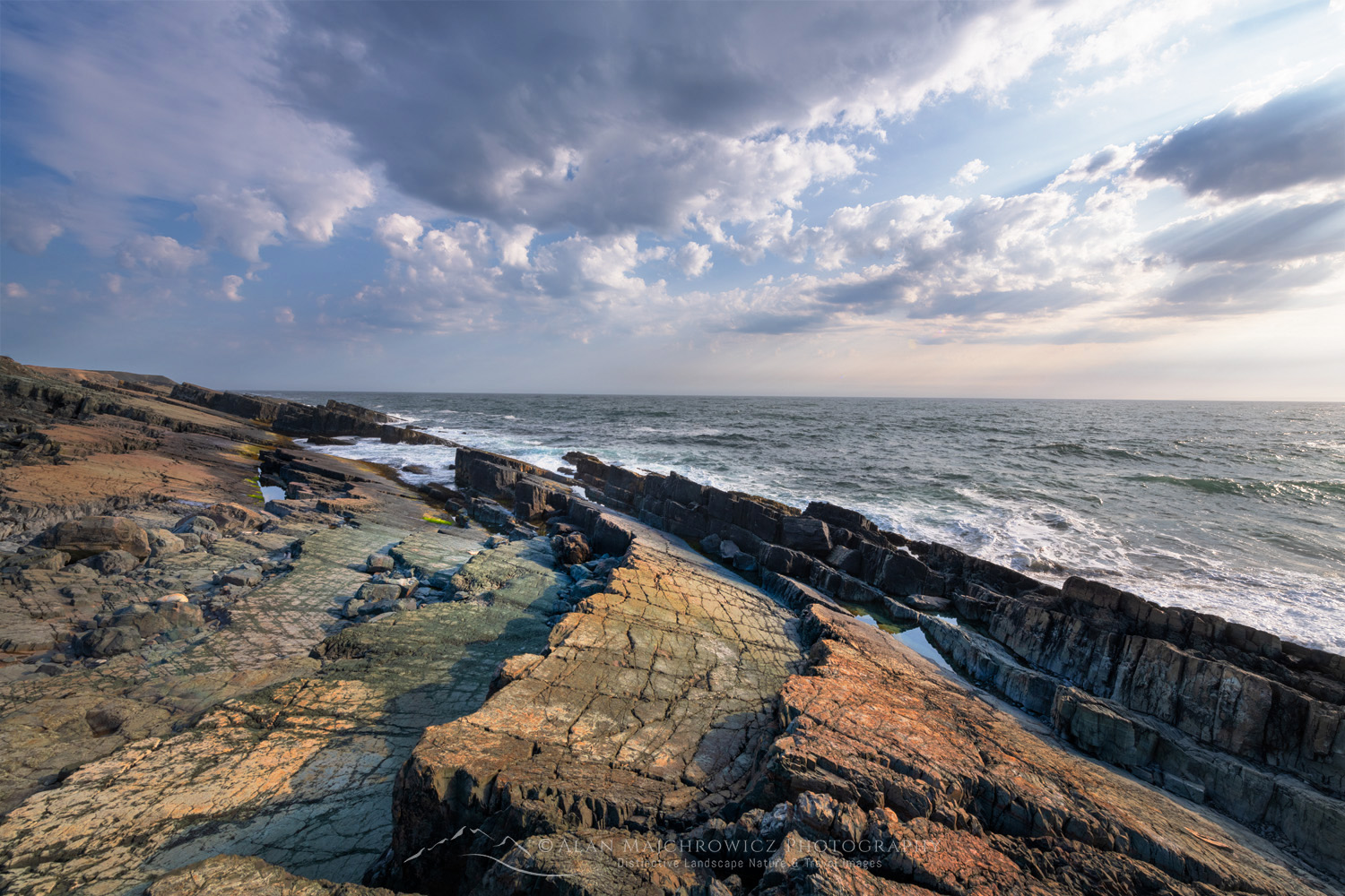
Along the gravel road to Cape Race is the Mistaken Point Ecological Reserve. This UNESCO World Heritage Site protects and preserves one of the most diverse and well-preserved collections of Precambrian fossils in the world. To view the fossil beds at Mistaken Point, you must reserve a spot on a guided tour. Also, the fossil protection zone encompasses the length of the coast within the reserve, within 15m of the water’s edge.
Closer to the town of Portugal Cove South, the layered and angled rock bedding displays some exciting seascape photo opportunities.
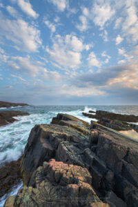 Daley Point Newfoundland #80695 Purchase
Creative Tips for Photographing the Southern Avalon Peninsula:
Allow enough time: One of the most important considerations when planning a photography trip to any location is time. Good photography rarely results from a hurried schedule. Chasing light is stressful, stay in one place and let the light come to you!
Considering your most important subject matter and locations, always try to stay at least two days. This will give you time for scouting, and also be present for several changes in lighting conditions.
Scouting: Scouting is an essential technique for better photography. Always scout out the best locations in advance by spending the day thoroughly exploring the area. Note the best spots and how long it will take to reach them in the morning and evening golden hours.
 Daley Point Newfoundland #80695 Purchase
Practical Tips for Photographing the Southern Avalon Peninsula:
When to go: Late spring through fall are all great times. However, May through early July are the best months for iceberg viewing. The landscape isn’t green until the beginning to middle of June.
Seasonal Closures: After the weather, my next introduction to Newfoundland was seasonal closures. The official summer/tourist season doesn’t begin here until June 1.
Nearly every provincial park, historic site, visitor’s center, campground, restroom, gift shop, etc., is shut tight until then. Of course, there are exceptions, but they are far and few between. On the other hand, all of this guarantees that you’ll escape the summer crowds and have most places all to yourself!
Lodging: I nearly always car camp on my photo tours, so I can’t say much about lodging. However, there are only a few large towns/cities in the province, so you’ll most likely be looking for lodging in small towns with limited accommodations. Book very early!
Camping: I didn’t find many campgrounds, and provincial and national parks were still closed. However, free camping is available anywhere that isn’t private property. This mainly consists of gravel roads on Crown Land and at trailheads.
Driving: Roads are generally in good shape. But I found that even main roads can be rough in some areas.
Rest Areas: There are none! I have to include this since it was such a shock to me. Even driving from St. John’s on the Trans-Canada Highway to the other end of the province there were no rest areas or port-a-potty’s. Secondary and backroads? Forget about it! Keep that in mind when starting in the morning after drinking a big mug of coffee, or that breakfast burrito!
 Cape St. Mary’s Ecological Reserve #80578 Purchase
To see more Newfoundland and Labrador images check out these galleries:
Newfoundland and Labrador 1
Newfoundland and Labrador 2
 Now available: Newfoundland Sea, Sky Land, Ice Fine Art Portfolio
Other posts in this series:
1 Photographing in Newfoundland and Labrador/Cape Spear
2 Photographing Bonavista Peninsula Newfoundland
3 Photographing Twillingate and Fogo Island Newfoundland
4 Photographing the Great Northern Peninsula and Labrador
Learn about how to protect the places we love to photograph
Visit the Nature First Website

All photos appearing in Photographing the Southern Avalon Peninsula Newfoundland are available for Commercial Licensing and Fine Art Prints. Click on any image to purchase, or contact me for more info!
