Cape Breton Highlands National Park

Cape Breton Island Nova Scotia

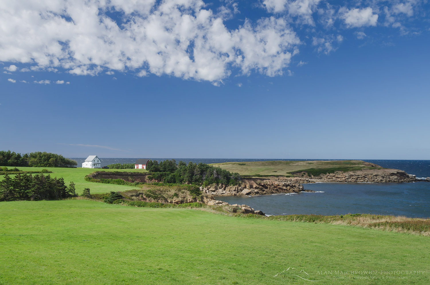
Cape Breton Island Nova ScotiaCape Breton Island seaside farm  #58624   Purchase

It’s funny how life can be so unpredictable. Some may be tempted to replace “funny” with frustrating, discouraging, exciting, or fun. Last year at this time I was on a dream trip with my wife Coleen to photograph in Nova Scotia and New England. This year I’m stuck at home in the office, working on marketing and fantasizing about future trips. So since I’m not able to get out on the road anytime soon, the next best thing is to relive last year’s trip by writing blog posts.

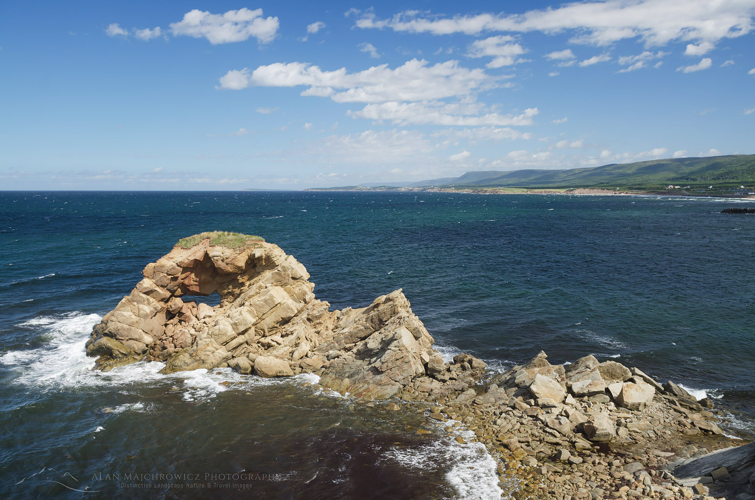
In my last post, I wrote about our brief visit to the Bay of Fundy in New Brunswick. In this post, I’ll be recapping our visit to Cape Breton Island Nova Scotia, one of the main highlights and destinations of the trip. As with any new location I hoped to see as much of the province as possible. We had to carefully choose only a few of the best locations to visit in our available time. After years of poring over Nova Scotia maps and images, I settled on a couple of areas. For me, Cape Breton Island and Peggy’s Cove Coastal Region were obvious choices. Cape Breton Island represented the rugged wind-swept character of Canada’s Atlantic Provinces.  While Peggy’s Cove Region highlights the historic and thriving culture of the province. There is, of course, much more to see, but these locations will make a good start.
Cape Breton Island Nova ScotiaCape Breton Island, Nova Scotia #58622   Purchase

Onwards to Cape Breton Island

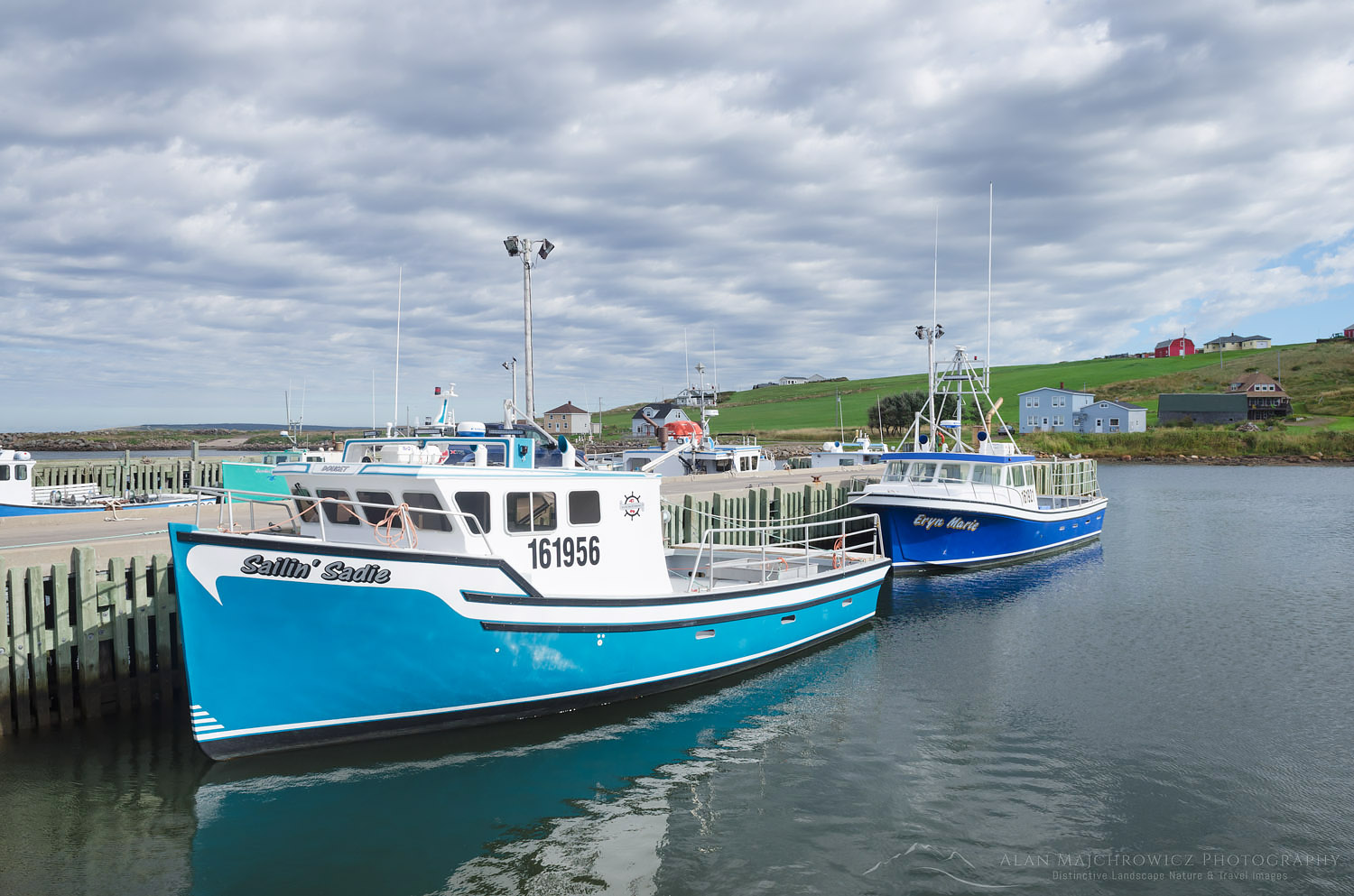
After leaving New Brunswick we drove straight to our first destination, Cape Breton Highlands National Park. On the map, it looked like about a half-day drive. In reality, it took us most of the day to arrive, exhausted from driving, at Chéticamp in the park. Of course, we had to make a few stops along the way. Part of the appeal of Cape Breton Island is its Scottish heritage, most notable along the Ceilidh Trail. Picturesque Ceilidh Trail (pronounced Kay’-Lee) runs along the west coast and has its road signs written in both English and Gaelic. Along the way are quaint villages, world-class seaside golf courses, and North America’s first single malt distillery.

Further north the Ceilidh Trail gave way to the world-famous Cabot Trail. Possibly the most scenic drive in all of Atlantic Canada, the Cabot Trail encircles the entire northern section of Cape Breton Island. During our visit, we focused on the western section of the trail, from Margaree Harbour in the south to Pleasant bay in the north.
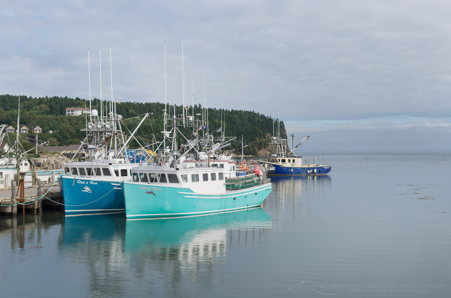
Fishing boats, Cape Breton IslandFishing Boats Grand Étang Harbour Cape Breton Island  #58583  Purchase

Cape Breton Highlands National Park

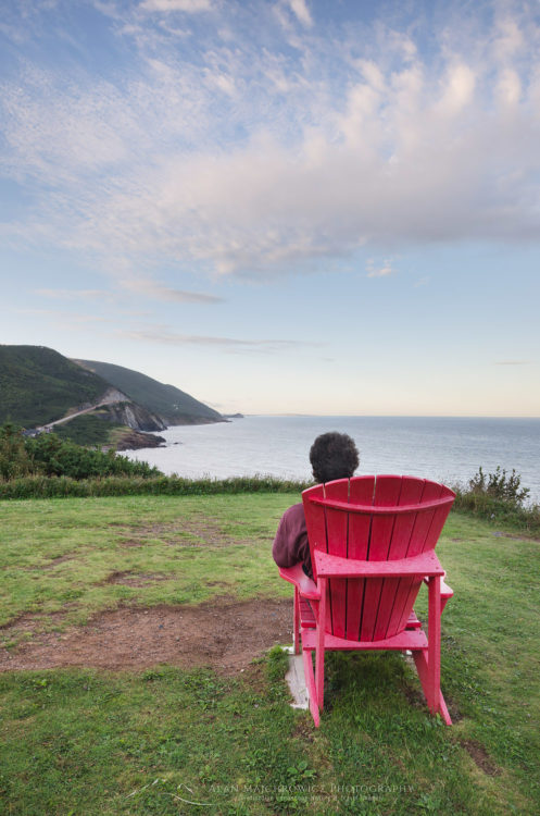
Arriving in Cape Breton Highlands National Park was exhilarating. We were just about as far north in the province as we could drive. The land had begun to take on a wilder primordial feel, even more, evident high on the Cape Breton Plateau. There were few towns, and those were very small fishing outposts. Although Cape Breton Highlands lies only at 46º north, I had the feeling of being on the southern edge of the vast expanse of Canadian subarctic lands. I imagined that if I squinted hard enough I could see Newfoundland, then Labrador, and finally Baffin Island. I should state here that for most of my life I’ve had an obsession with everything arctic. Especially the Canadian Arctic, which holds a tight grip on my imagination, partly due to its rich and often tragic history of exploration.

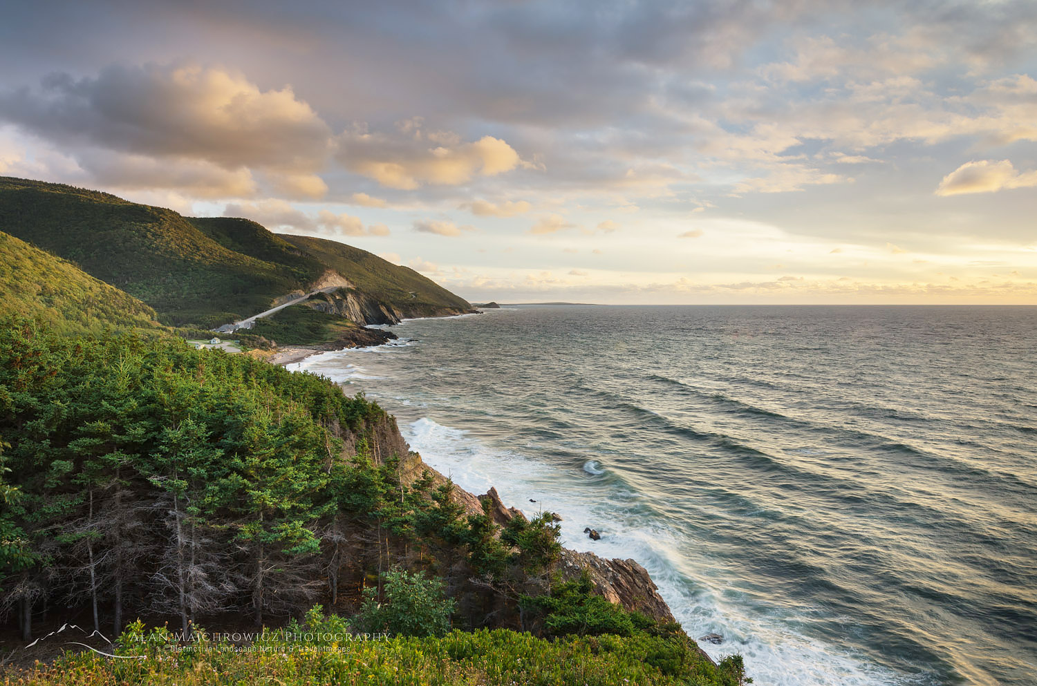
After setting up camp in Cape Breton Highlands National Park I anxiously began to scout out the coastal drive. Along the west coast, the Cabot Trail climbs high and has stupendous views of the Gulf of Saint Lawrence. At its height, you can see to the Magdalen Islands, situated nearly in the center of the Gulf. I like to think this section of the Cabot Trail is Canada’s east coast version of Big Sur in California. After winding up along the coast the road heads inland to the plateau highlands and a dramatic change of scenery.
Cape Breton Highlands National ParkCape Breton Highlands National Park, Nova Scotia #58564   Purchase

Cape Breton Highlands Plateau

Dominated by boreal forest with a distinct sub-arctic feel, the Cape Breton Plateauis a windswept wilderness of barrens, bogs, and lakes. Most people think of the Appalachian Mountains ending at Mount Katahdin in Maine. However, geologically they continue much further north. Cape Breton Plateau is an Appalachian mountain worn down by glacial activity. To reach the true end of this ancient chain of mountains you would need to travel as far as the highlands of Gros Morne National Park in Newfoundland. Since the weather was grey and forbidding on the plateau I headed back to photograph the coastal drive in the evening light.

While in the park I wanted to hike the Skyline Trail to photograph the iconic view from the top. At the end of the trail, a dramatic headlands cliff overlooks the winding road and the vast expanse of the Gulf of Saint Lawrence. This trail and view are one of the hallmarks of the park. However, my timing to get there was poor. I failed to consider the length of the hike, it would’ve been dark by the time I made it there. I was fortunate to drive to an alternate overlook just in time to make a few photos of evening light breaking through the clouds.
Cape Breton Highlands National ParkCabot Trail Cape Breton Highlands National Park, Nova Scotia #58637   Purchase

Margaree Harbour & Lobsters

The next day Coleen and I drove south to scenic Margaree Harbour to photograph fishing boats and coastal views. I enjoyed this area, there were picturesque seaside farms, sandy beaches, churches, and colorful boats. An interesting find was Centre de la Mi-Carême, an interpretive center focusing on the Acadian celebration of Mid-Lent with masks, music, and dance. Attracting us to the center was the display of colorful effigies on display in the parking lot. Unfortunately, our visit was cut short as the center wasn’t open at the time.

Back on the lobster hunt, as we found out in New Brunswick, lobster was out of season. However, we were lucky enough to find that in Margaree Harbour the Island Sunset Lobster Pound still had some available. After chatting with the friendly owner and a patron about our travels we hurried back to camp to cook our long-anticipated crustaceans. In the warm afternoon sun, we made a glorious mess of cracked shells lobster meat, and melted butter! This was the way to do it, out in the open air by the sea, not in a stuffy restaurant.
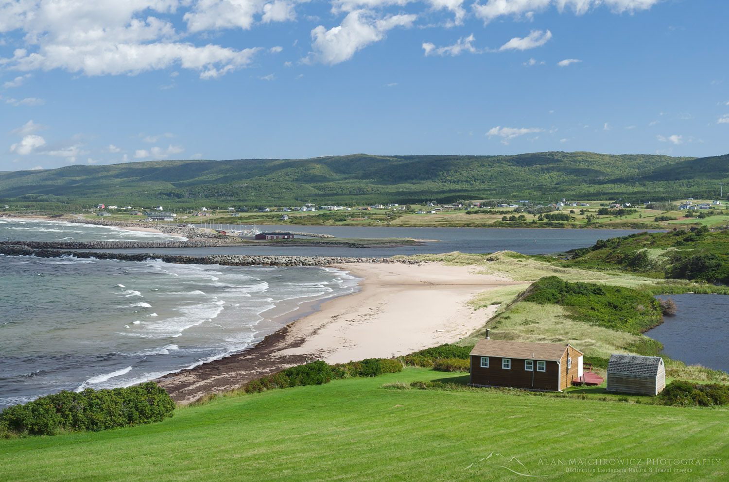
Cape Breton Island Nova ScotiaMargaree Harbour Cape Breton Island  #58615  Purchase
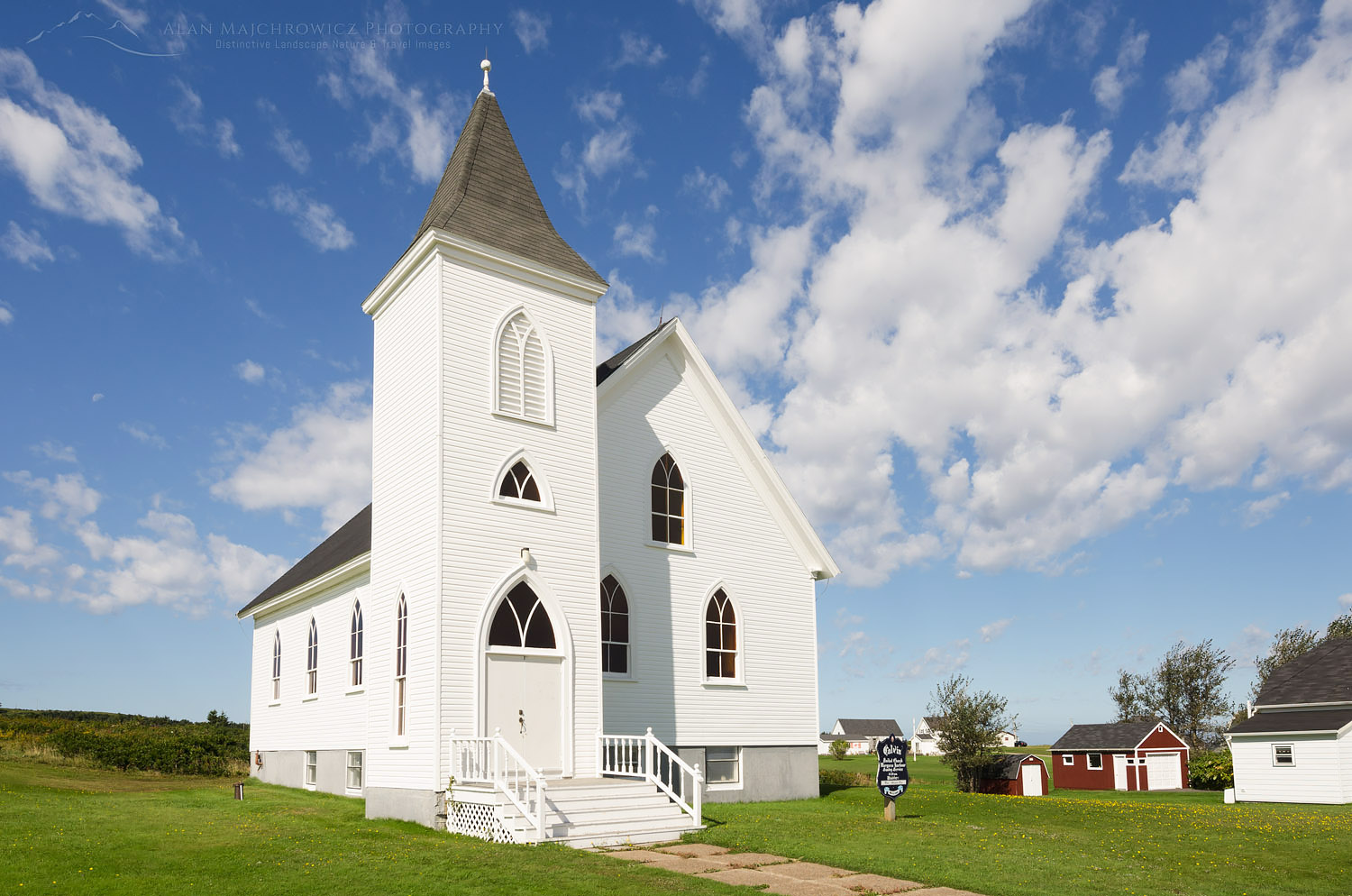
Church Cape Breton IslandChurch in Margaree Harbour  #58607  Purchase

Cabot Trail Coastal Photography

In the evening, and again the next morning, I went out to make photographs along the coast. I had some nice light for photography while in the area but it didn’t last very long. I came back with only a few new images, including one of a beached whale, headless and rotting on the beach. This is usually the situation when visiting a new location. Without prior firsthand knowledge of a location, it’s difficult to be in the right place at the right time. In my experience, I might get lucky a few times on an initial trip. But it normally takes several return visits to understand its character. There are some spots from which I still have not created a defining image, although I’ve been there many times and know it intimately.
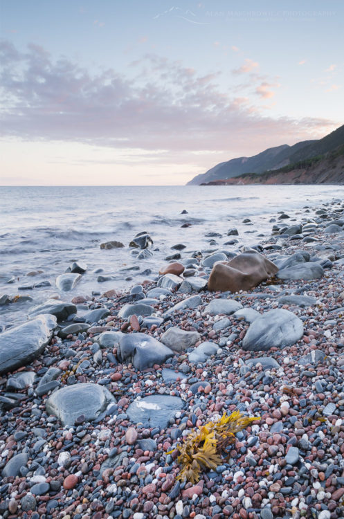
Cape Breton Highlands National ParkCape Breton Highlands National Park  #58560  Purchase
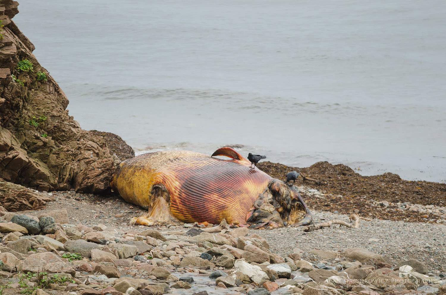
Dead Whale Cape Breton Island Nova ScotiaWhale carcass, Cape Breton Island  #58647   Purchase

Over to the Atlantic Side

After packing up our camp we began our drive north and over to the Atlantic side of Cape Breton Island. At Green Cove, we got our first real view of the Atlantic Ocean. Getting out of the truck to stretch our legs I found this to be a great place for photography. The headland is composed of beautiful pink granite laced with striped intrusions. Given the right lighting conditions, I could spend hours here photographing the fascinating patterns. Unfortunately, a storm front was arriving with the first drops of rain which lasted all day.

I wished we had better weather and more time to stay and explore beautiful Cape Breton Island. One of my biggest regrets was having to pass up a visit to the Fortress of Louisbourg National Historic Site. Located on the far eastern edge of Cape Breton Island, the fort is a wonderfully preserved 18th-century military installation. Among the activities here are interactive tours and reenactments of 18th-century life. Including Louisbourg on our trip would’ve meant excluding other important locations further on. And I didn’t want to miss out on photographing iconic Peggy’s Cover and historic Lunenburg. So it was onward into the rain, and part two of this post!
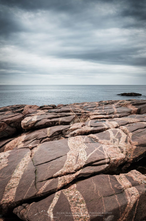
Green Cove Nova ScotiaGreen Cove, Cape Breton Highlands National Park  #58656  Purchase

Bay of Fundy low tide

Bay of Fundy New Brunswick

Bay of Fundy New Brunswick

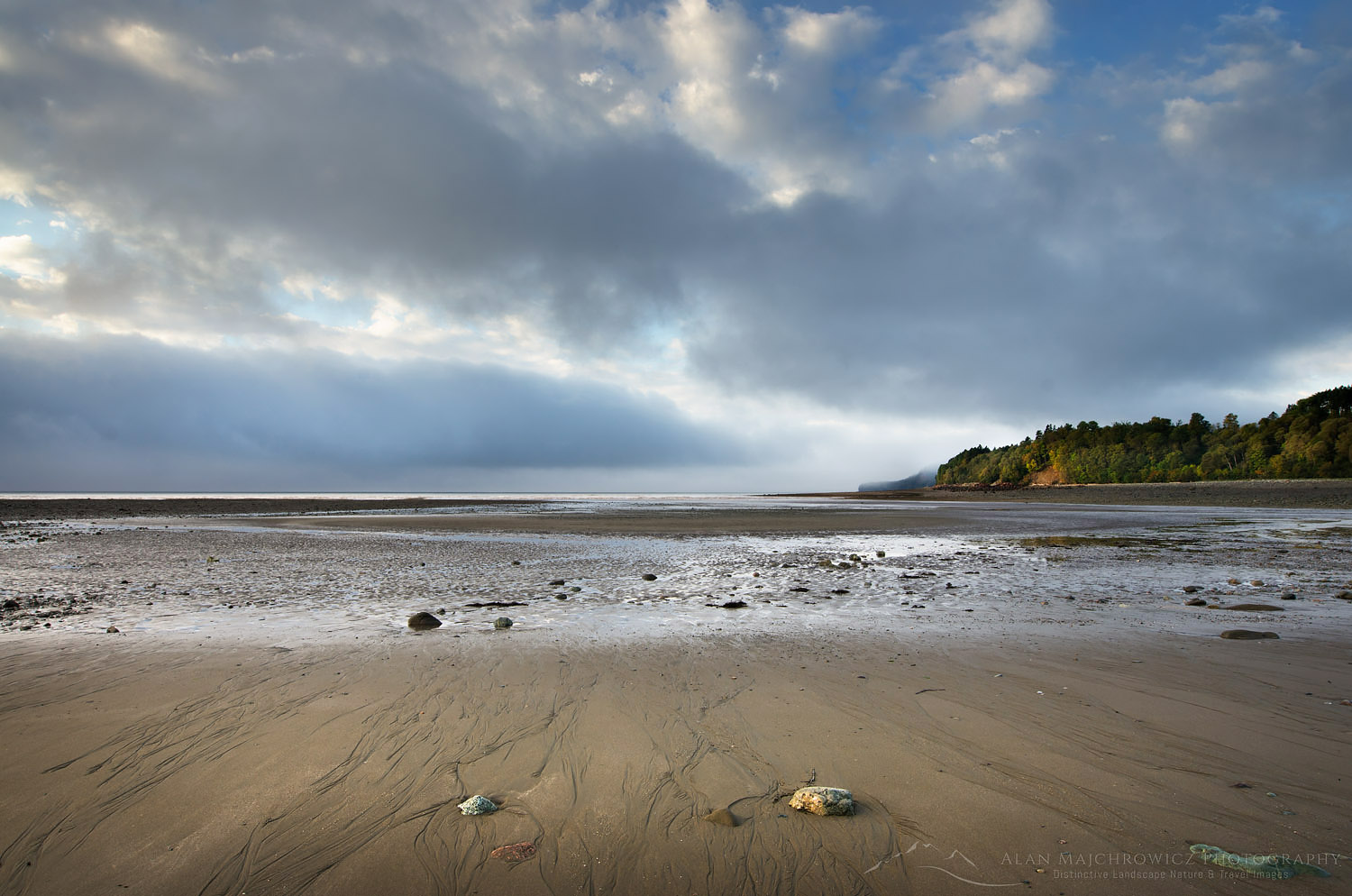
Bay of Fundy low tideBay of Fundy at low tide  #58545    Purchase

A year ago I made my first visit to the Bay of Fundy New Brunswick. For many years the Atlantic Provinces of Canada have been on my must-see list. Last year my wife, Coleen, and I finally had the opportunity to visit and photograph in this beautiful region. Our plan was to spend six weeks traveling to Nova Scotia and New England for fall color photography. Since we had to drive through New Brunswick we couldn’t miss the opportunity to check out the fabled Bay of Fundy.

Fundy National Park

Fundy National Park was our first stop in the Atlantic Provinces after leaving New England. Fundy National Park showcases a rugged coastline, over 25 waterfalls, a dense Acadian Forest, and of course the famous tides. We excitedly pulled over at the first overlook of the bay. After such a long drive across the continent, it was a welcome sight to see and smell salt water again. We checked in at the visitor center to secure a campsite then quickly set up our home for the night.

Fishing Boats New BrunswickFishing boats, Alma, New Brunswick  #58493   Purchase

We stayed in Headquarters Camp and found it very convenient, being very close to the bay. Campers in Fundy National Park have a variety of options available in three different campgrounds. You can choose between a traditional tent and RV sites, yurts, rustic cabins, oTENTik, or the new Goutte d’Ô. Goutte d’Ô is a structure with a water droplet shape suitable for couples or families. I must warn, however, along with the park’s daily use fee per person, the cost of renting out an oTENTiks, or Goutte d’Ô could be higher than a nice motel room.

Alma, Bay of Fundy

Our next objective was to pay a visit to the small town of Alma in search of lobster. While in town I made some photos of fishing boats moored to piers at high tide. My plan was to make some comparison photos of low and high tides. We searched the town but couldn’t find any open lobster shacks. It turned out the season had closed so there wasn’t any lobster available. So we settled for the next best thing, clam chowder, and fish & chips. I wish I could report that we had a good introduction to east coast seafood, but it wasn’t to be. The clam chowder was very watery, with hardly any cream clams or flavor. Unfortunately, the fish & chips were no better, a small fillet covered in thick very greasy batter. Although we were sorely disappointed, our dining luck will greatly improve in the coming weeks!

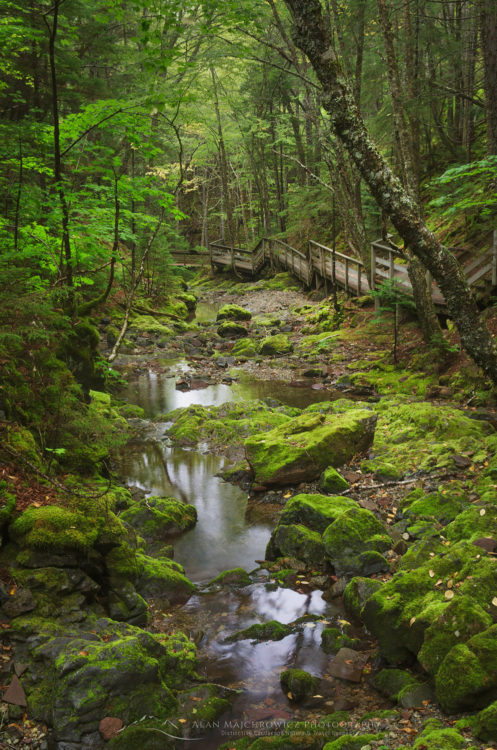
Dickson Falls Trail, Fundy National ParkDickson Falls Trail, Fundy National Park  #58487   Purchase

Dickson Falls

Aside from the obvious attraction of the bay and its tides, Fundy National Park also has over 100 kilometers of trails. I wanted to check one of those trails before getting ready for evening photography. I decided on the popular Dickson Falls Trail, a short walk into a forested ravine to a famous waterfall. Upon entering the forest I was immediately struck by the heavy fragrant scent of spruce trees. Forests in New Brunswick and Nova Scotia are classified as Acadian, a mix of northern hardwoods and boreal spruce usually found in the far north. A well-constructed boardwalk trail takes you through a cool green forest that felt more like home in the Pacific NW. Due to all of New England and the Atlantic Provinces experiencing a severe drought, Dickson Falls turned out to be a disappointing trickle.

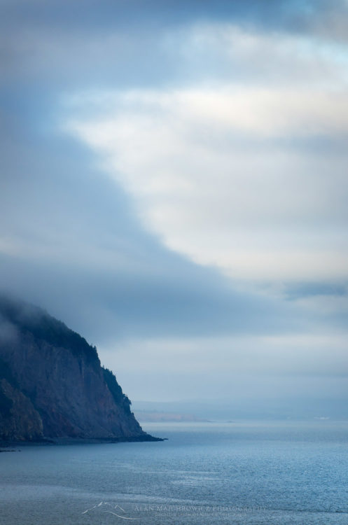
Bay of Fundy New BrunswickBay of Fundy headlands  #58518   Purchase

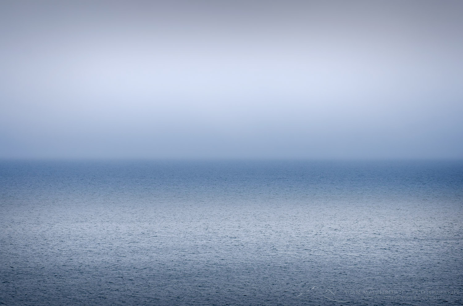
Bay of Fundy New BrunswickFog over Bay of Fundy  #58525   Purchase

After the hike, we returned to a wide overlook of the bay and settled in to see what kind of light evening will bring. A quaint feature of Fundy National Park is the placement of red Adirondack chairs in quiet scenic locations. It was relaxing to take advantage of the chairs as we gazed across the bay hoping to see whales. While we didn’t see any whales in the bay I did manage to make a few semi-abstract photographs of cloud patterns.

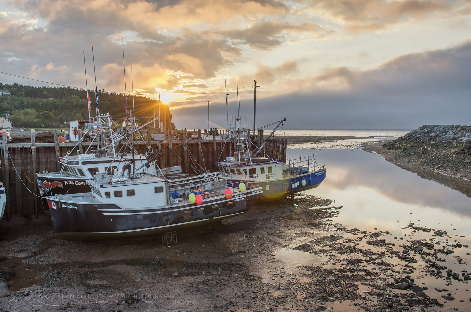
Bay of Fundy low tideFishing boats at low tide, Alma New Brunswick  #58535   Purchase

Fundy Low Tide

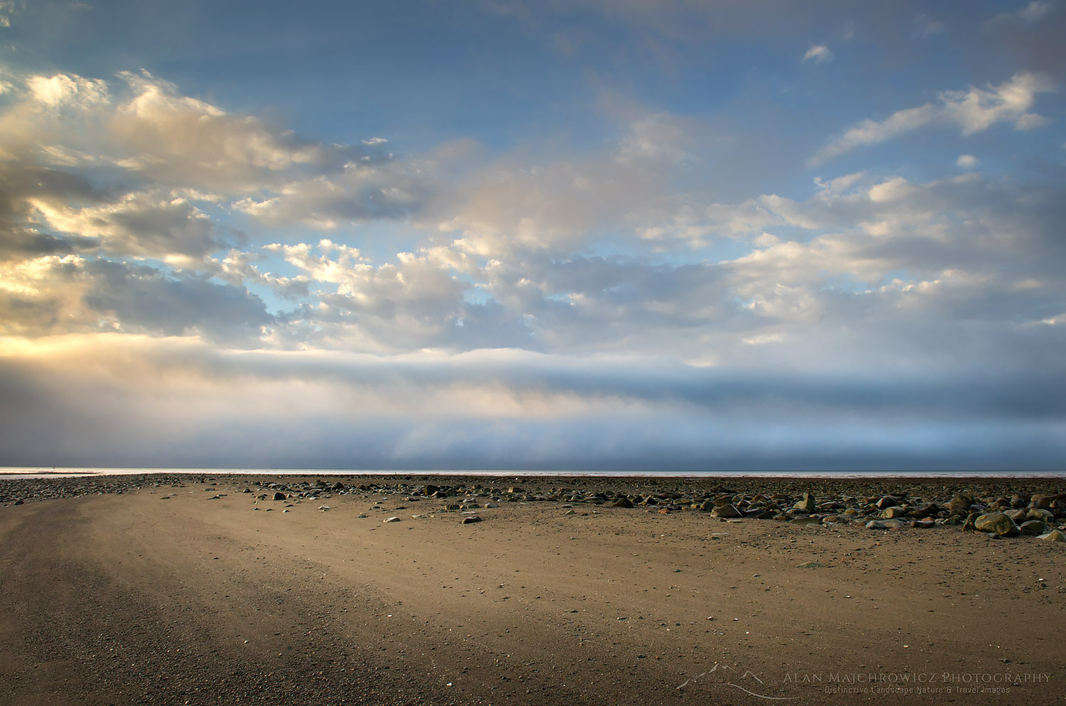
I got up early the next morning to drive down to the bay for low tide. It was quite a sight to see such a low tide. All the fishing boats were now resting high and dry on a gravel and mud seafloor. After scouting for photos along the expansive low-tide beach I headed back to camp to pack up and move on to Nova Scotia. I was hoping to make a stop along the way at Hopewell Rocks to photograph the famous sea stacks. However, as we pulled into a full parking lot the sight of a large number of tour busses was discouraging. I knew from experience that the best views for photography would be crowded with tourists. So with a tinge of regret, we instead drove on to our next main destination, Cape Breton Highlands, Nova Scotia.

It seemed a shame though to have only a little more than a day for this area. I guess we’ll have to come back again!

Bay of Fundy low tide New BrunswickBay of Fundy low tide  #58540   Purchase

Sunset Sonoma Coast wildflowers, California

California’s Sonoma Coast

California’s Sonoma Coast

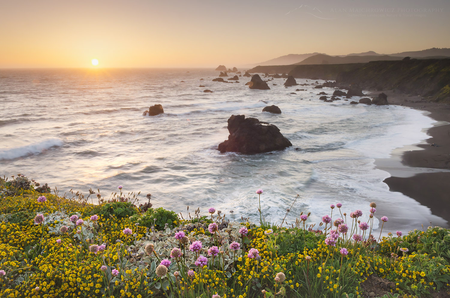
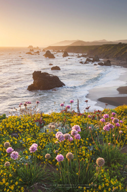
Sunset Sonoma Coast wildflowers, CaliforniaSunset, Sonoma Coast California  #60392  Purchase

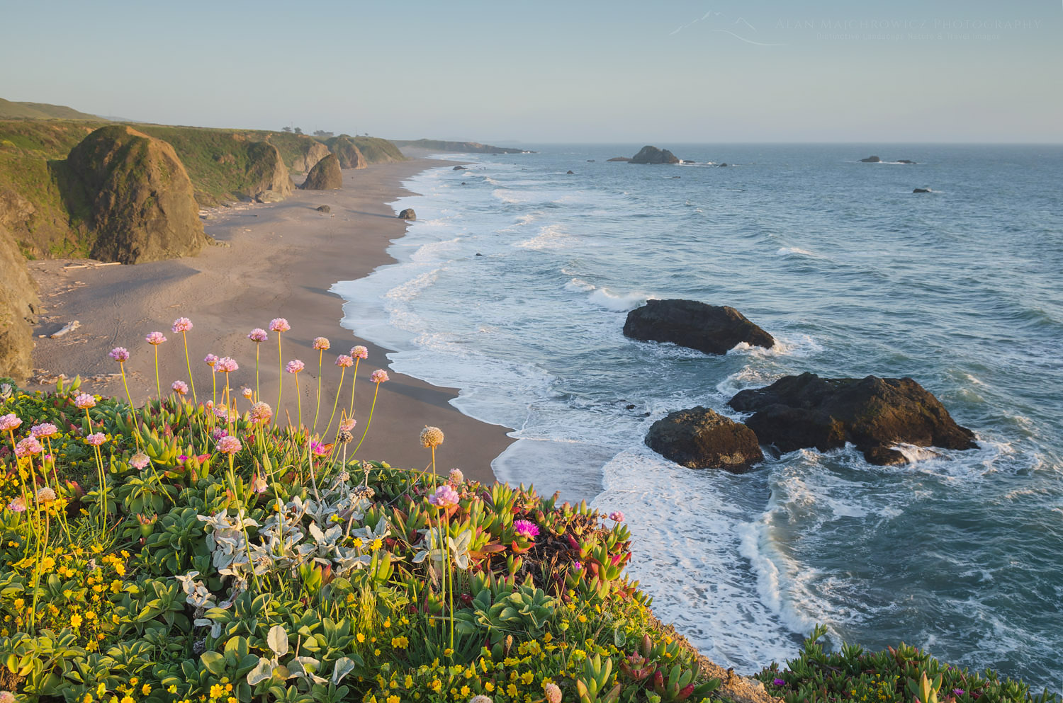
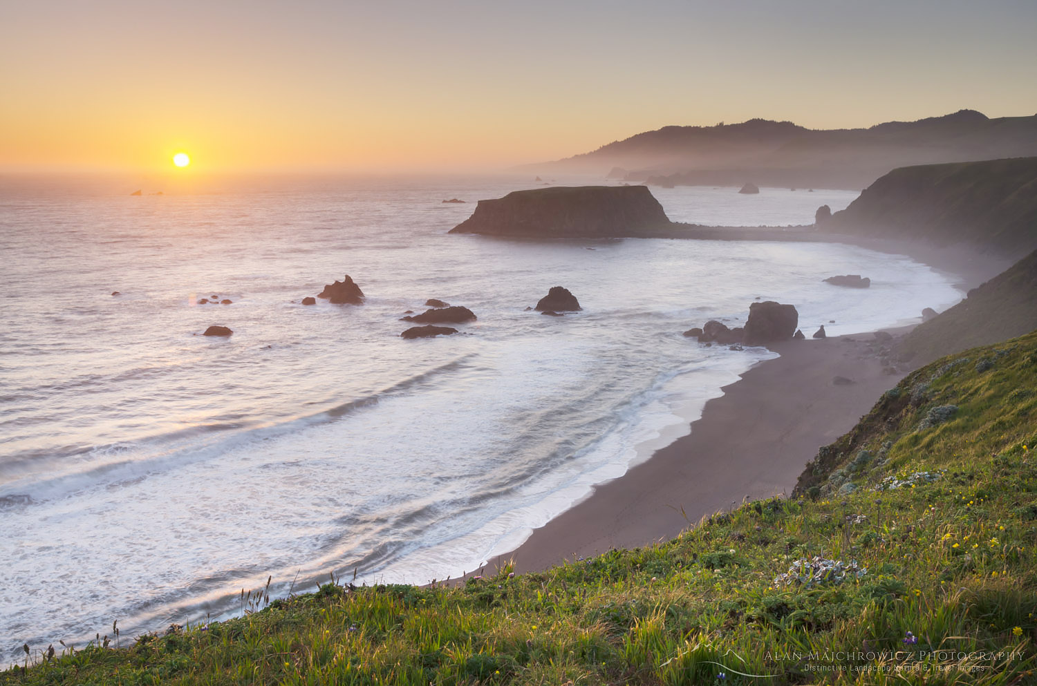
California’s Sonoma Coast stretches roughly from Bodega Bay in the south to the Mendocino County line in the north. In this post, I will feature areas of Sonoma Coast State Park, a highly scenic and popular area to the north of Bodega Bay. This was my second visit to the area and the first in which I was able to take time to appreciate and photograph the scenery. Visiting in the spring I wanted to take advantage of plentiful wildflowers along the coastal bluffs, and the greenery of surrounding hills. Although visiting during spring I avoided persistent coastal fog there were constant winds instead.

Sonoma Coast wildflowers, CaliforniaSonoma Coast California  #60377  Purchase

Bodega Bay

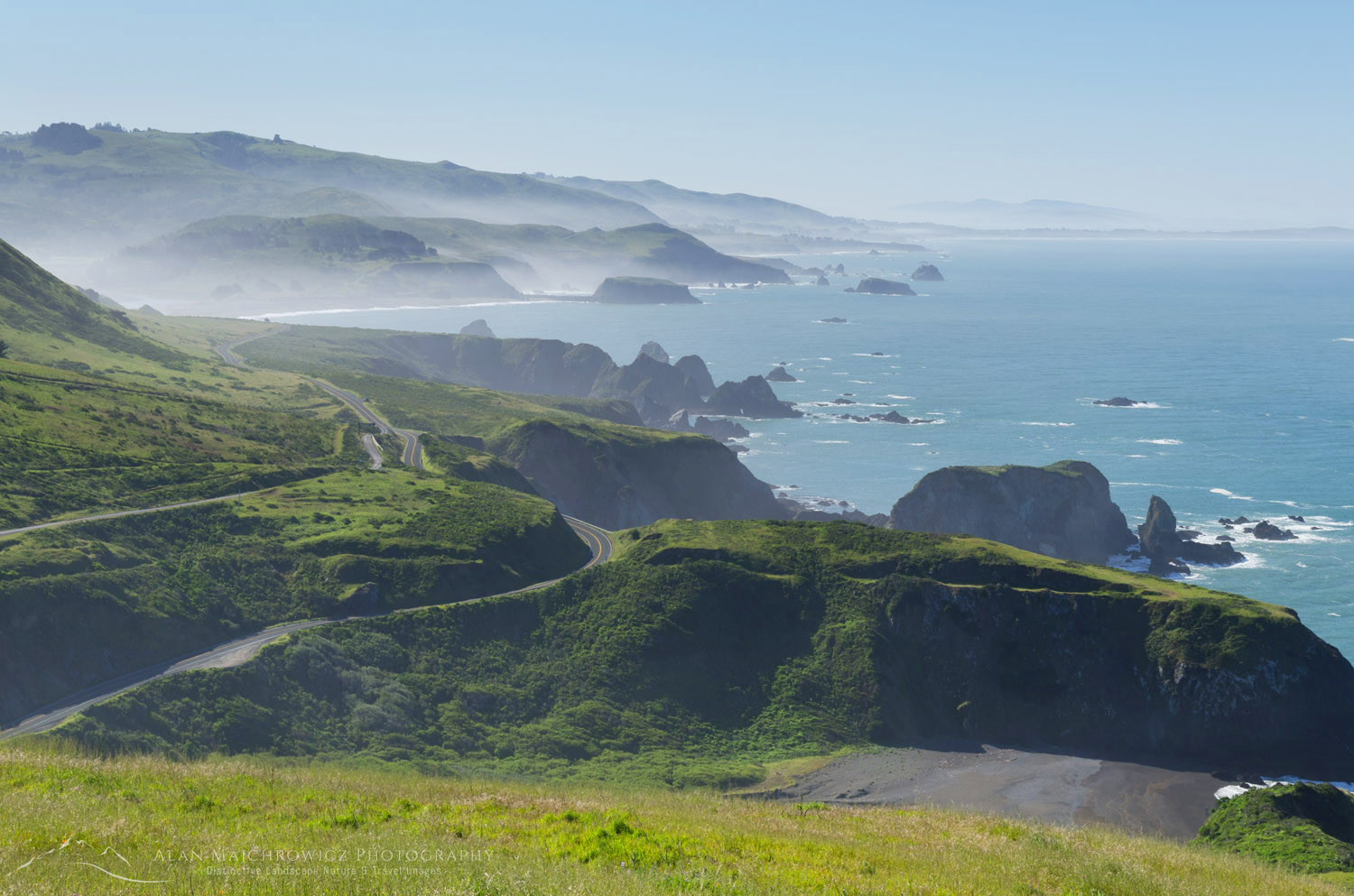
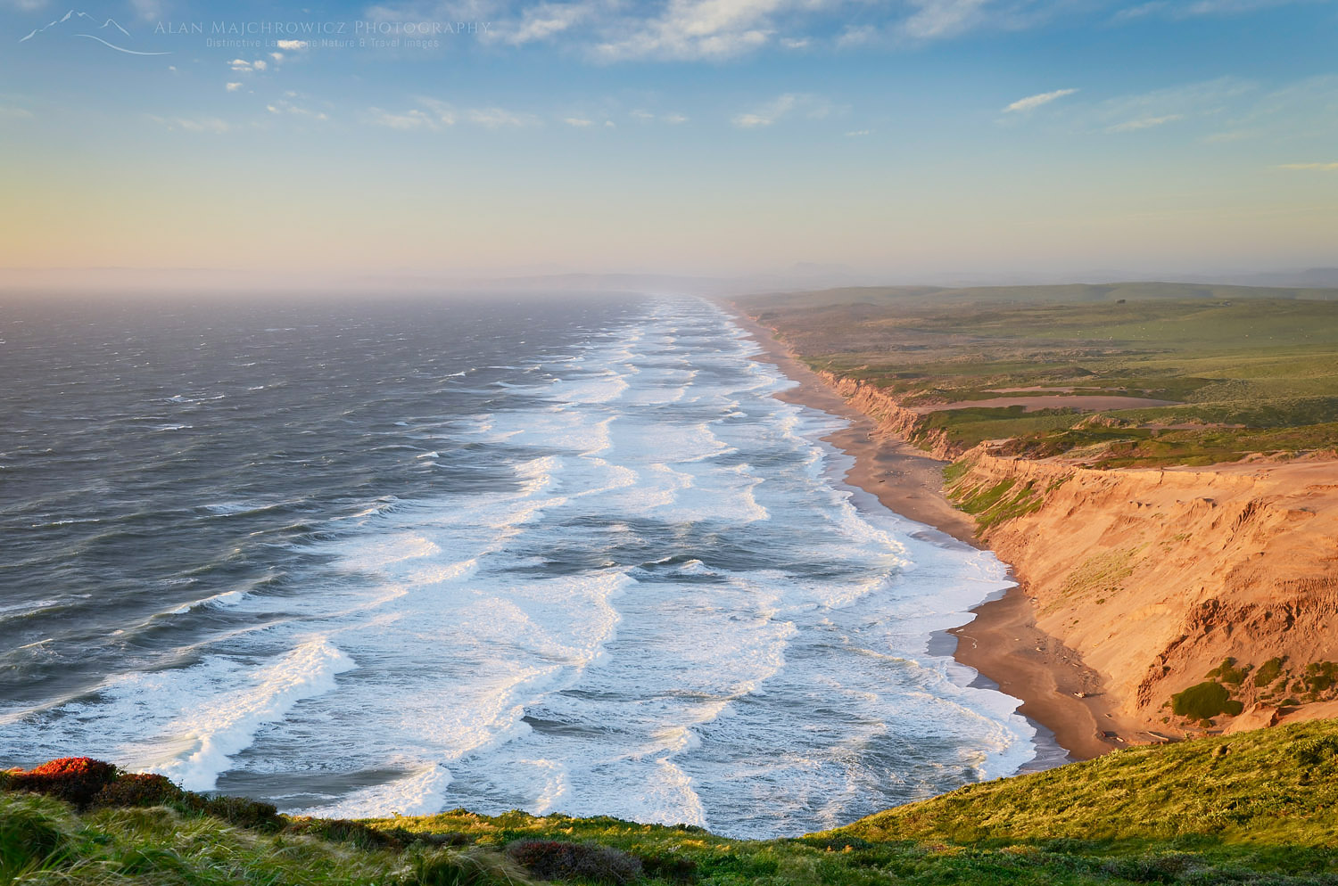
Iconic California Highway 1 runs the entire length, with numerous places to pull off to enjoy the view. The most dramatic view can be had just north of the state park. Here the highway switchbacks high up a headland. The entire coast to Point Reyes is visible from this point. Sonoma Coast State Park is comprised of several scenic sand beaches and rugged headlands. Being a close drive to San Francisco the park sees a large number of visitors from the metropolitan area. Bodega Bay, being the hub for all the activities, also has the claim to fame for having Alfred Hitchcock’s The Birds filmed there. I couldn’t identify any of the set locations on my visit though. I was too preoccupied with delicious Oyster Po Boy sandwiches from Fisherman’s Cove a local seafood venue.

California Highway 1 Sonoma CoastHighway 1 along the Sonoma Coast #60421  Purchase

Aside from the beaches and wonderful restaurants Sonoma Coast is a great location for watching migrating whales. While admiring the view from a bluff a local man pointed out to me a group making their way north. They were a fair distance off and hard to see even with binoculars. I had never seen whales, despite living many years in proximity to the coast, so this was pretty exciting. Goat Rock to the north has some of the most dramatic scenery and is a bit of an oddity. This headland was quarried back in the 1920s to provide building material for burgeoning San Francisco. As a result, Goat Rock in its present state looks more like a detached sea stack.

Sonoma Coast sunset CaliforniaSunset, Sonoma Coast California  #60303  Purchase

If you decide to visit this wonderful area I have a couple of essential tips. Make sure you book accommodations well in advance. I arrived on a weekday in the shoulder season and was only able to gain the last campsite by arriving early in the morning. Make sure you have enough time for leisurely exploring the area. At least three days, and preferably a week, would be best to see and photograph the sites. Lodging and food can be fairly pricey if, like me, your are from outside the area. State Park campsites all along the California coast start at $30 and can be as high as $50. For these prices there also is no guarantee of full facilities in good working order. Private campgrounds of course will cost more but may be better maintained.

Surf, Point Reyes BeachPoint Reyes Beach, just south of Sonoma Coast #60262  Purchase

Sunset Sonoma Coast wildflowers, California

Sonoma Coast California

Sonoma Coast California

Sunset Sonoma Coast wildflowers, CaliforniaSonoma Coast Sunset  #60382   Purchase

I’m back in the office today after five weeks on the road in Oregon and Northern California. Tons of work to catch up on plus a huge editing/processing project to begin.

Since while on the road I only posted a few quick iPhone pics I felt I should select and share one of the highlights from the main group of files. This photo is from the Sonoma Coast California, just north of Bodega Bay. I’ll add more as they come available, and of course I’ll be working on a trip summary to post soon. Stay tuned!

Imnaha Canyon wildflowers Oregon

Oregon Northern California Spring Photography

Oregon Northern California Spring Photography
 s
Imnaha Canyon wildflowers OregonHells Canyon Recreation Area, Oregon  #45010  Purchase
s

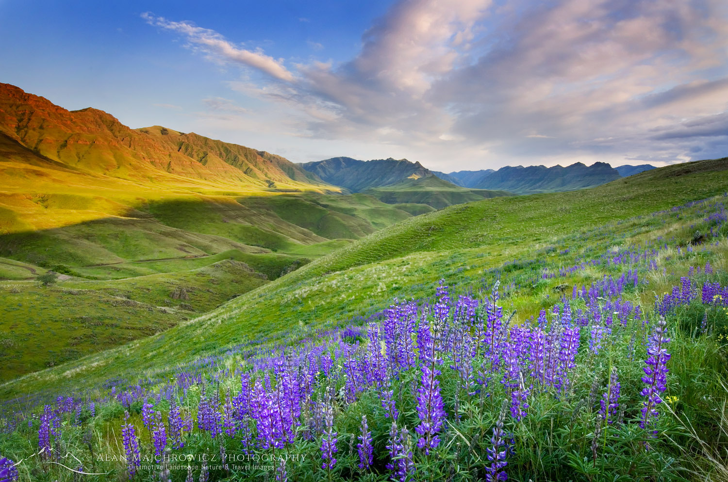
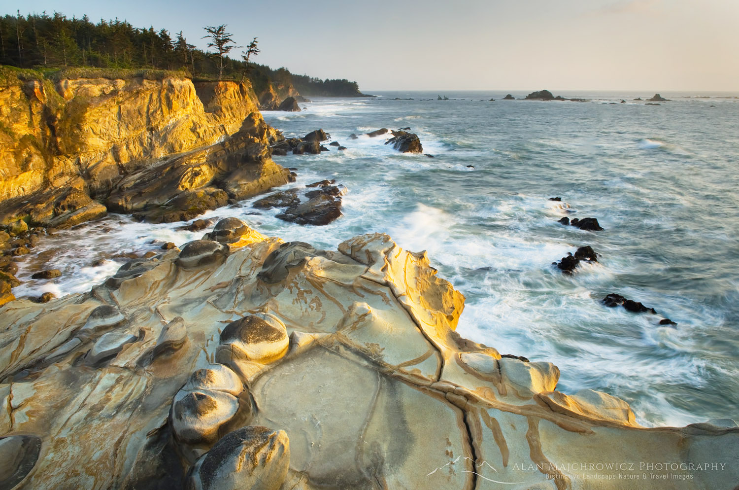
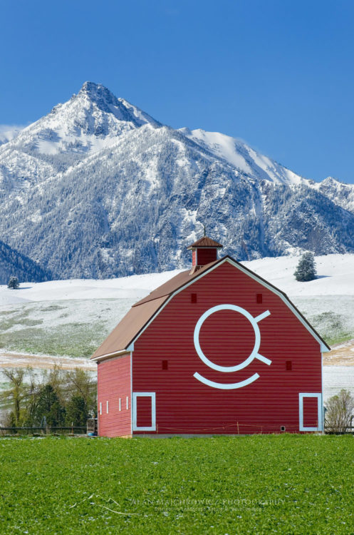
This week I will be leaving for an extended Spring trip to photograph landscape nature and travel imagery throughout Oregon and Northern California. During this excursion I’ll be photographing some new locations and subject matter, along with adding depth to places I’ve previously covered. Check out some of the exciting areas on the itinerary below.

Oregon: Hood River Valley Orchards, Southern Coast, Owyhee River and Canyon, Wallowa Valley Hells Canyon Area.
California: Redwoods National Park, Mount Shasta, Mendocino Coast, Point Reyes, Sonoma Valley Vineyards.
 s
Shore Acres State Park OregonShore Acres State Park, Oregon  #48705  Purchase
Red barn Wallowa Valley OregonWallowa Valley, Oregon  #44829 Purchase
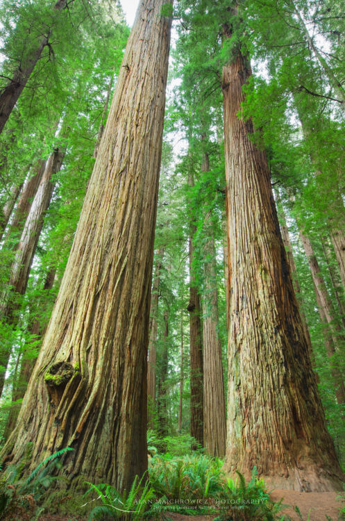
 Redwood forest CaliforniaCalifornia Redwoods  #44497  Purchase

Clayton Beach sunset Larrabee State Park

Samish Bay Bellingham Bay

Samish Bay Bellingham Bay

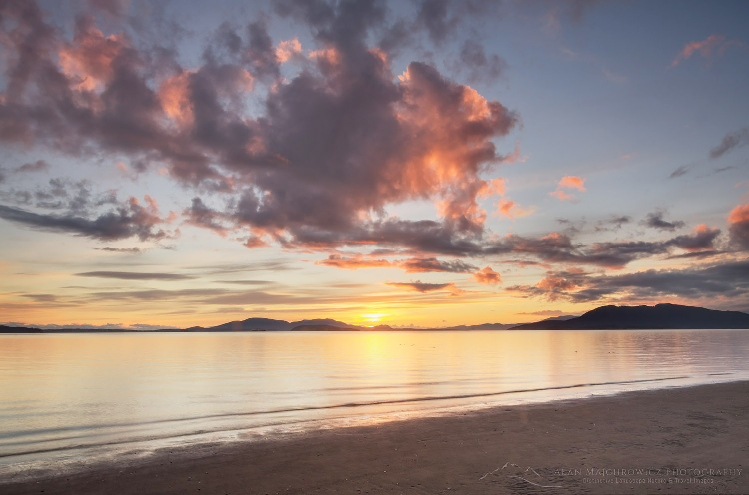
Clayton Beach sunset Larrabee State ParkClayton Beach Sunset, Larrabee State Park, Washington  #59666  Purchase
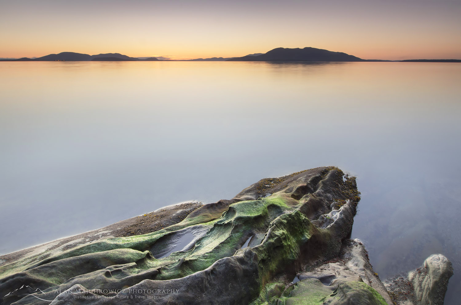
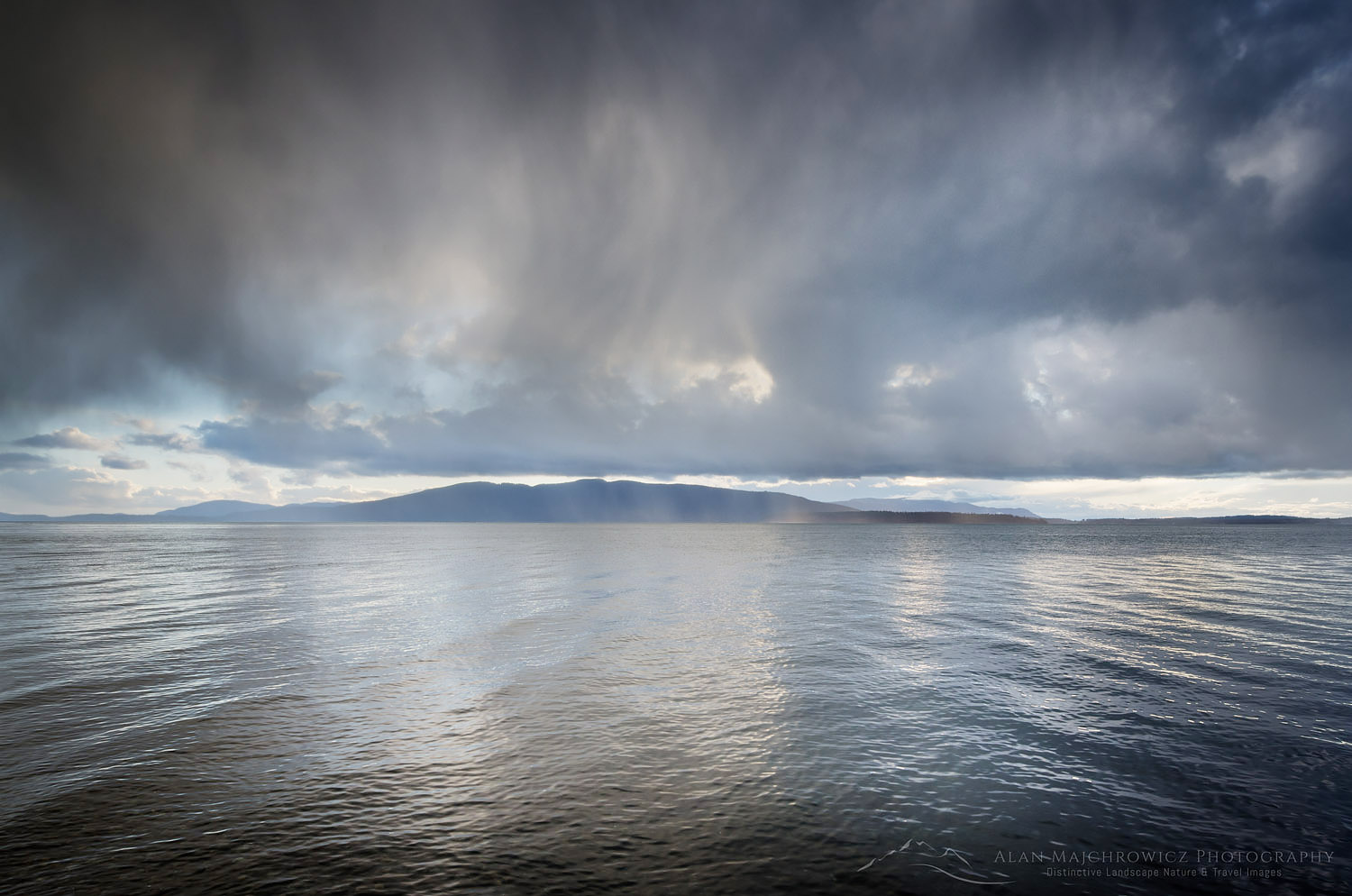
Once again its time to post some new photos from my favorite winter doldrum photo haunts, Larrabee State Park and Bellingham Bay. These locations are only a few miles from my home, so when I can’t get out on some winter ski trips I head to the local beaches for some fresh air and inspiration. These photos were made within a two day period when there was a lively mixture of sunny and stormy weather, a time during which you can usually get a wide variety of lighting conditions. To read more about Larrabee State Park check out this post from last year.

Clayton Beach sunset Larrabee State ParkClayton Beach Sunset, Larrabee State Park, Washington  #59681  Purchase
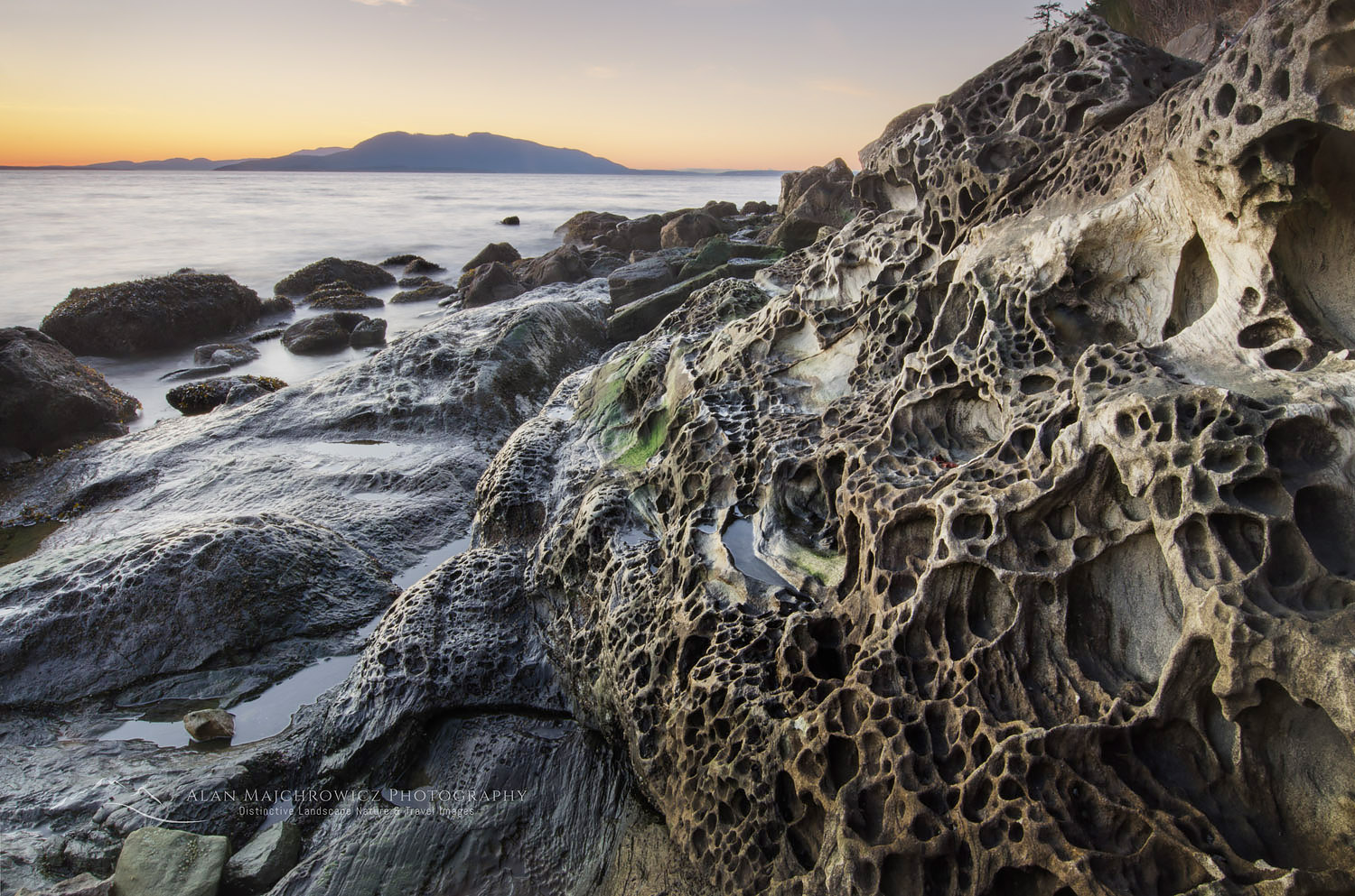
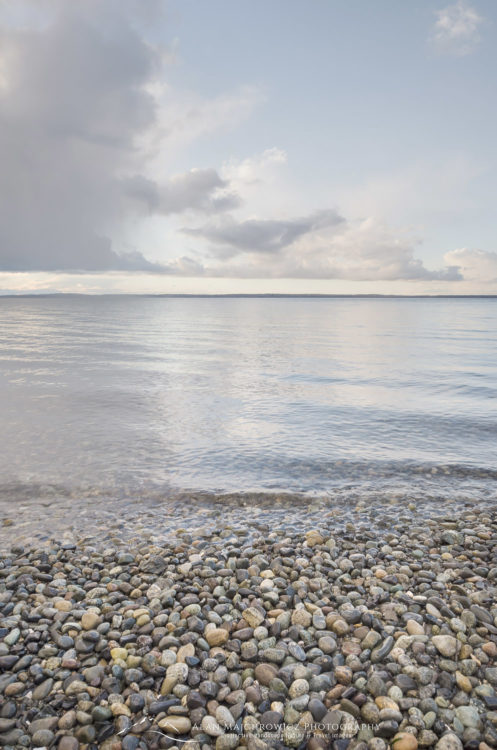
Bellingham Bay WashingtonStorm clouds over Bellingham Bay, Washington  #59689   Purchase
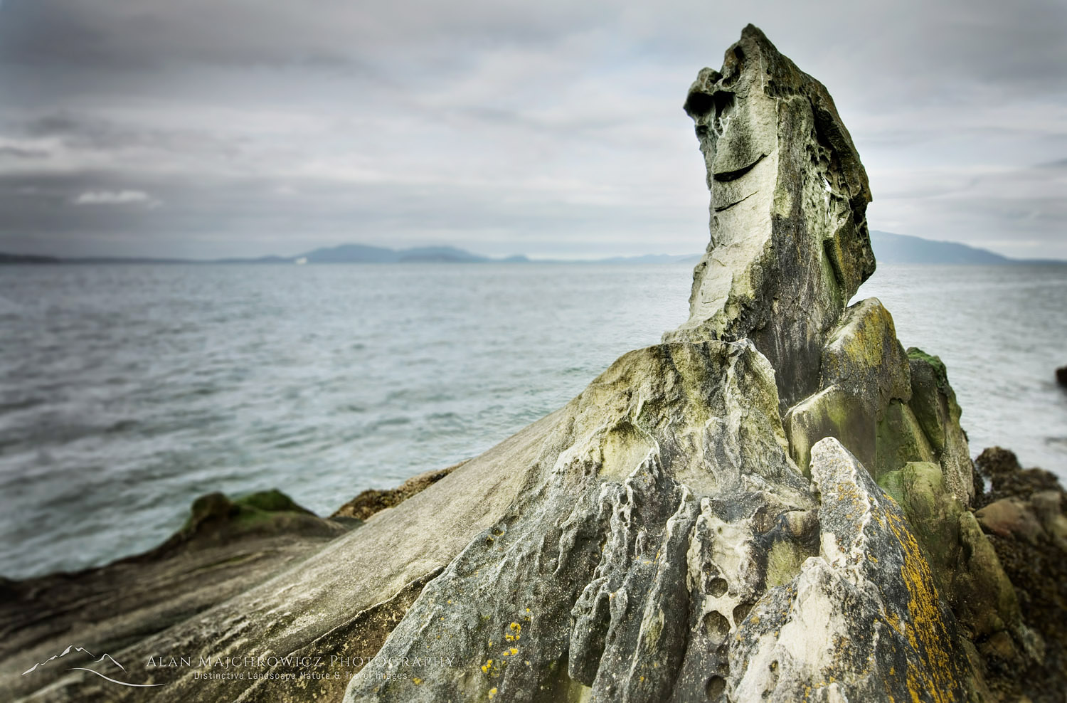
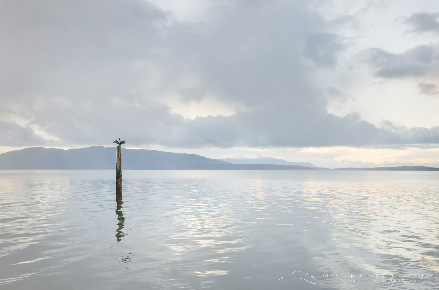
Cormorant, Bellingham Bay WashingtonCormorant, Bellingham Bay, Washington  #59699  Purchase
Bellingham Bay WashingtonBellingham Bay, Washington  #59692  Purchase

Samish Bay, Larrabee State Park Washington

Larrabee State Park Samish Bay Washington

Larrabee State Park Samish Bay Washington

Samish Bay, Larrabee State Park WashingtonSamish Bay #56660  Purchase

Like in many previous years, I’ve been making several visits to Larrabee State Park during the lull between winter and spring. Situated along Samish Bay a few miles south of Bellingham this is one of the best locations for photography in the area. Hikers trail runners and mountain bikers will find numerous trails into the Chuckanut Mountains. For the photographer, the shoreline along the bay is the place to be. Facing out to the famous San Juan Islands the shore is lined with sandstone cliffs and boulders eroded into fascinating formations. There is even a small natural arch dipping into the water if you can find it.

Clayton Beach

Possibly the best location for photos is Clayton Beach at the south end of the park. It is accessed by a trail approximately one-half mile long. Once on the beach, there are great rock formations. M favorite is just to the left of the beach. Back at the main park entrance,  a short trail takes you down to a sandstone formation with more great compositions.

Clayton Beach, Larrabee State Park WashingtonSandstone erosion patterns Clayton Beach #47151  Purchase

If you go you will need to purchase a day-use pass, unreasonably priced at $15. Although a yearly pass for all Washington State Parks, the Discover Pass is $30. The best time for photography in this park is late afternoon to sunset. This is when the golden-colored sandstone glows in the light. Low tide is best since you’ll be able to access more formations. However, since this is a popular park it will be next to impossible to get photos without the sand being tracked out. The good news is that in winter most people leave around sunset. During my last three trips, I had the beach all to myself. It’s a different story though in summer when the park is packed with people.

Clayton Beach, Larrabee State Park WashingtonSandstone pinnacle Larrabee State Park #47154r