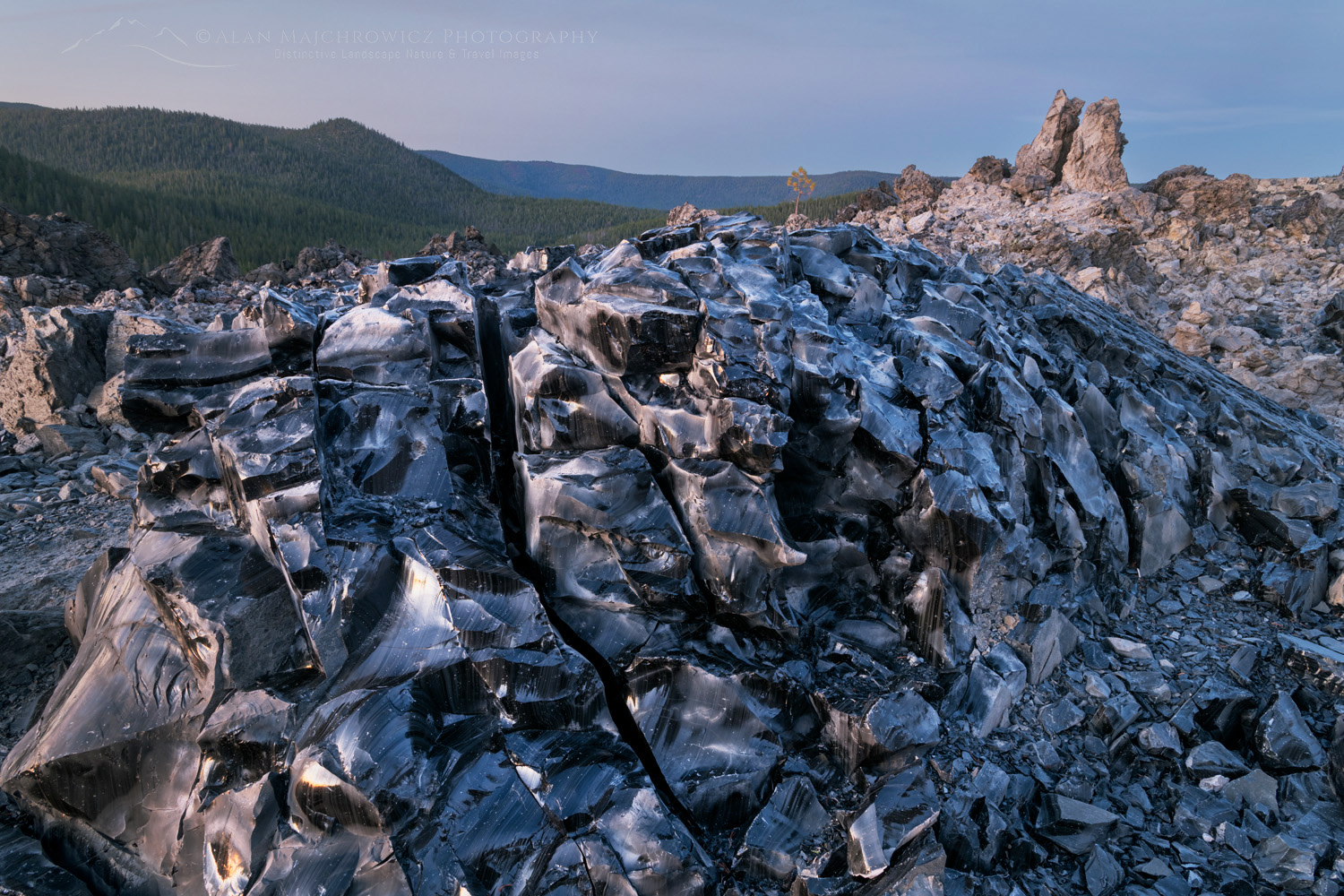
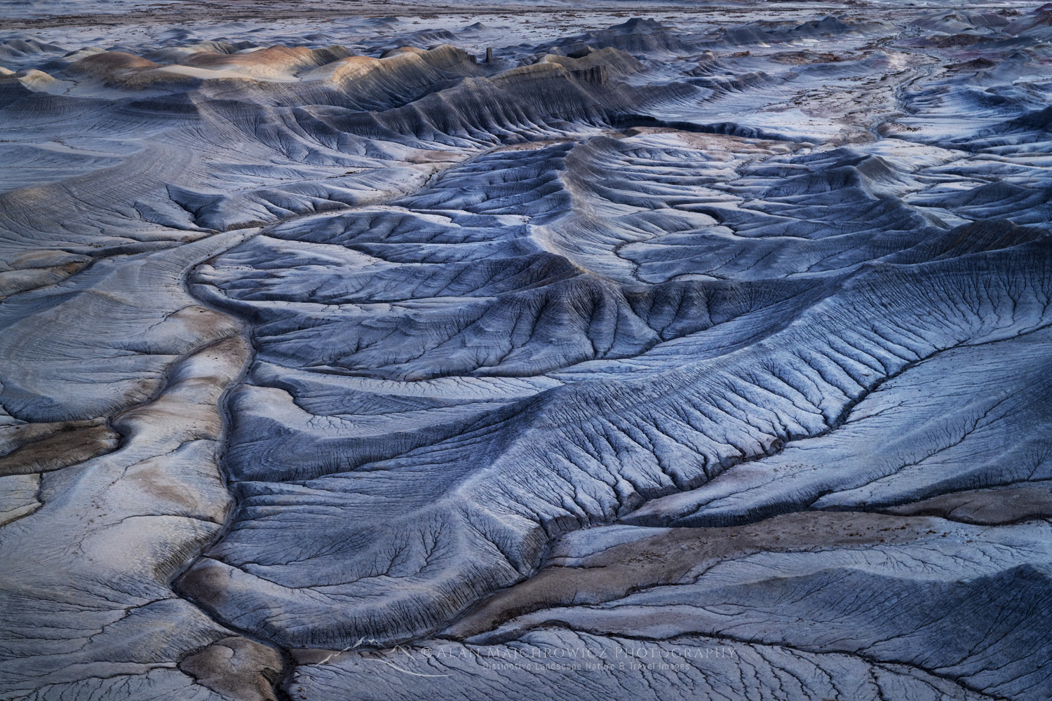
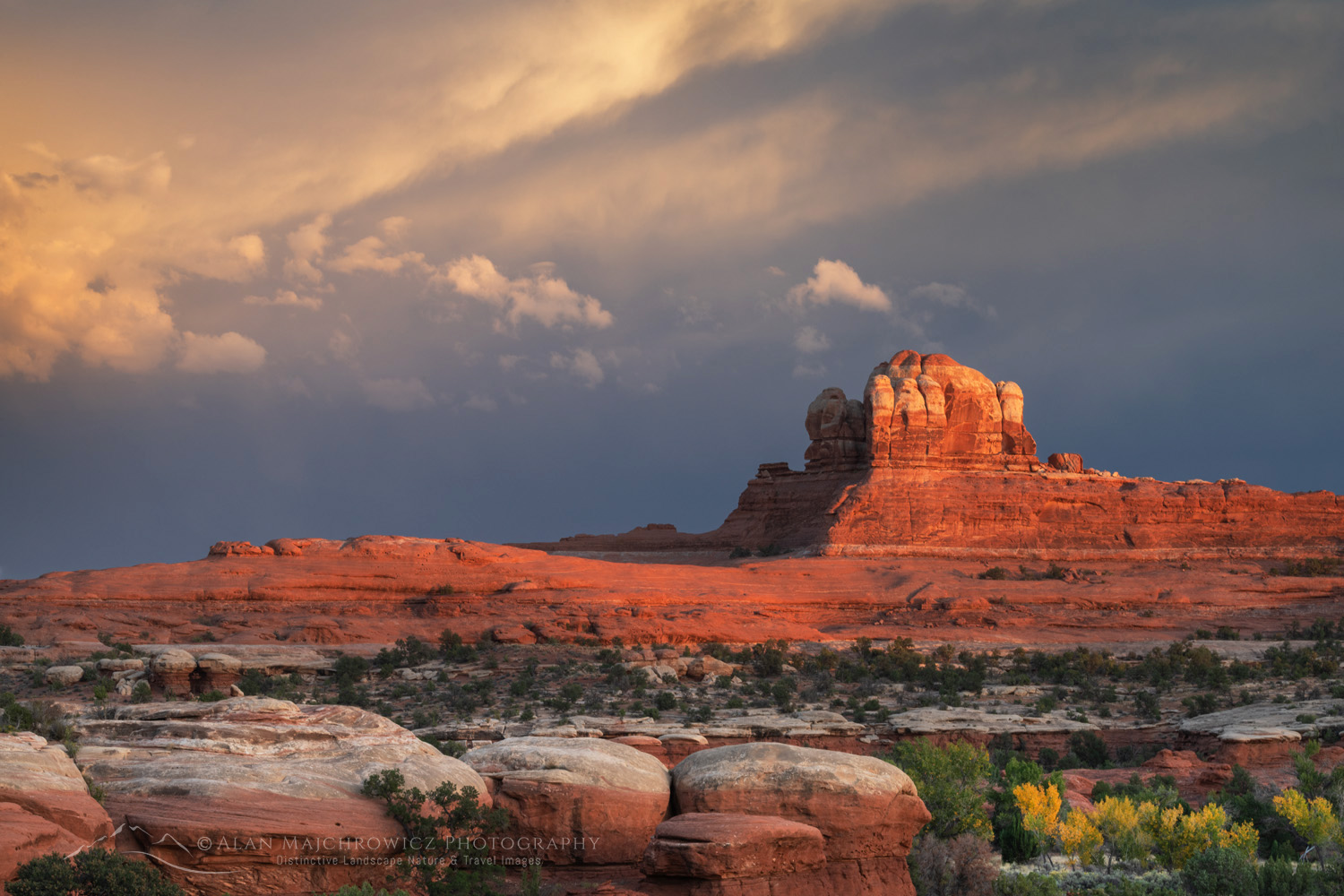
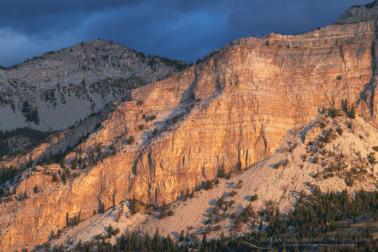
Upper Blue Hills Badlands in the Caineville Desert, Utah #84910

Photo Highlights 2024

Once again, it’s time to look back and reflect on the past year and some of the Photo Highlights of 2024. The photos in this collection represent some of my favorite images from the past twelve months.

One of the recurrent themes in my photography this past year was shapes and patterns. These are also some of my favorite photos because they represent moments I felt an overwhelming connection with the natural world. For me, having that intimate connection with the subject is an essential element that gives an image greater depth and meaning.

So here are my selections, and of course, feel free to comment and vote on your favorite. Thanks for viewing, I hope you have a joyous new year filled with peace and prosperity!

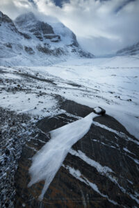
Striped patterns of snow frozen on the surface of Abraham Lake Alberta Canada #82384 Photo Highlights 20241. Abraham Lake Alberta #82384  Purchase

Windswept terminal moraine of Athabasca Glacier in winter, Mount Andromeda and Athabasca Glacier are in the distance. Jasper National Park Alberta Canada #82245b Photo Highlight 20242. Columbia Icefields, Jasper National Park #82245b Purchase

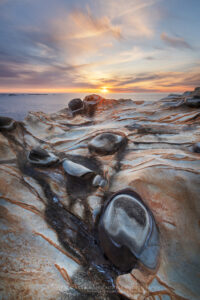
Sunset over Mineral concretions on cliffs of Shore Acres State Park Oregon #830123. Shore Acres State Park Oregon #83012  Purchase

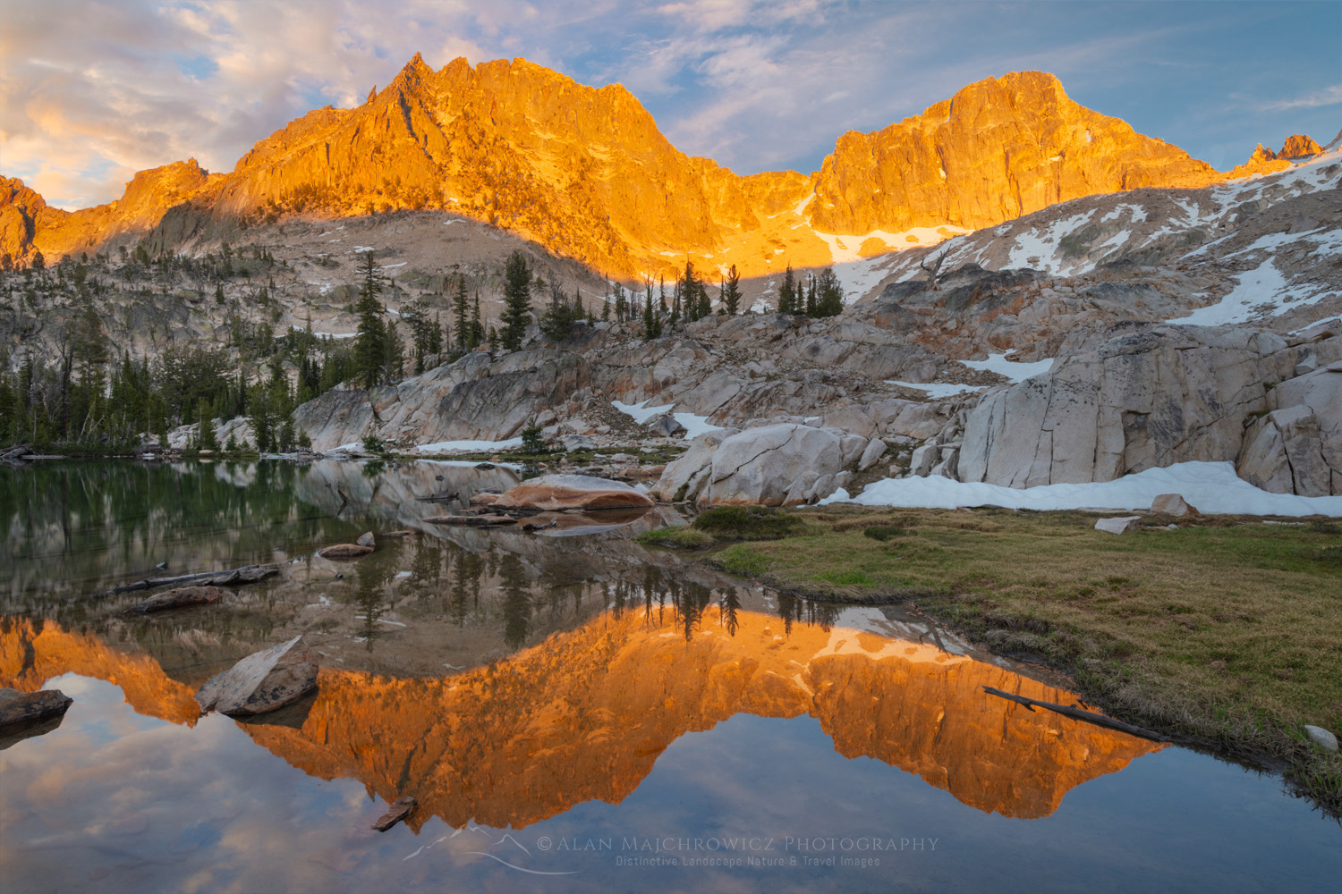
Golden light of sunset reflected on still waters of a tarn in Upper Cramer Basin Sawtooth Wilderness, Idaho #83712b Photo Highlights 20244. Cramer Lakes, Sawtooth Mountains Idaho #83712b  Purchase

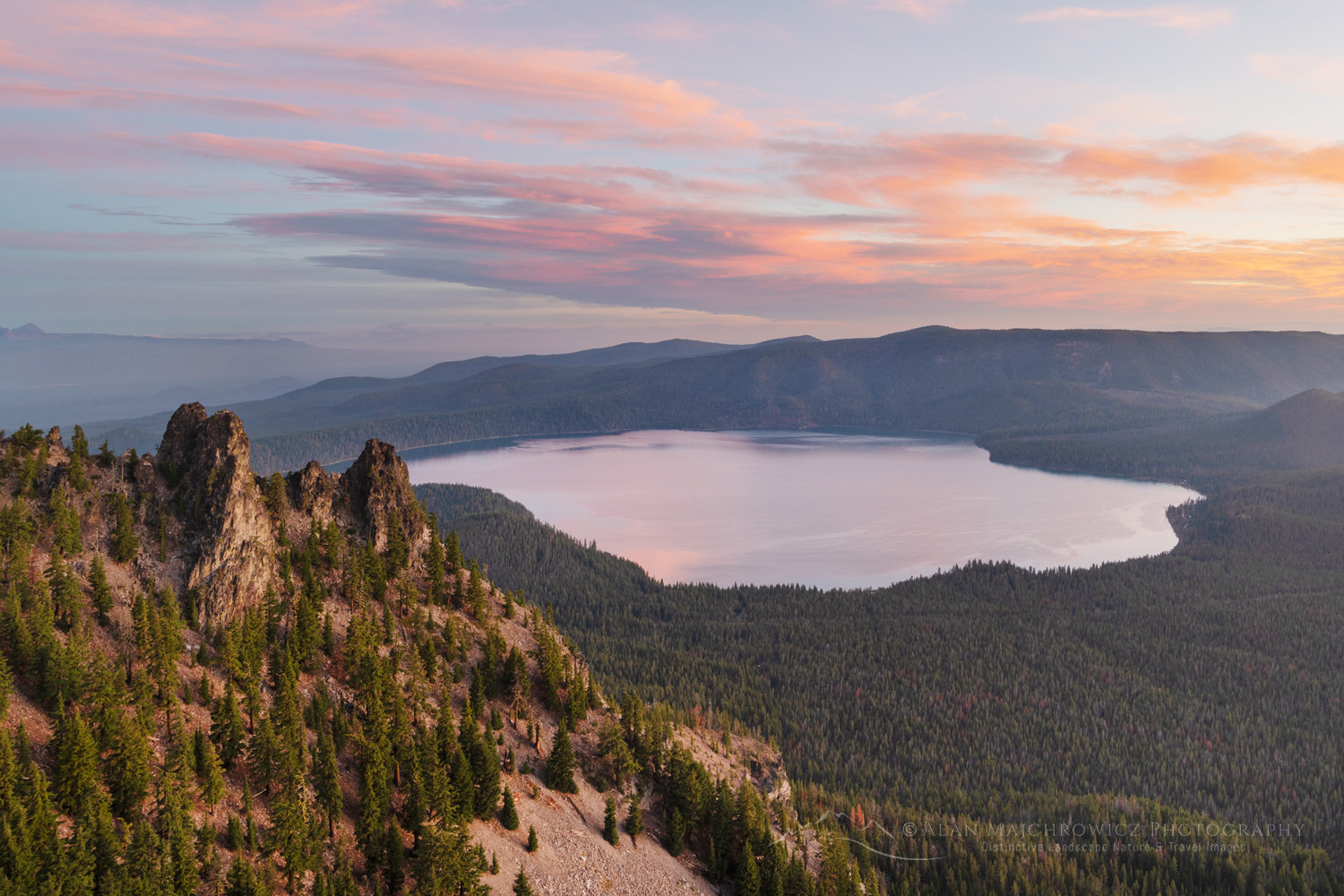
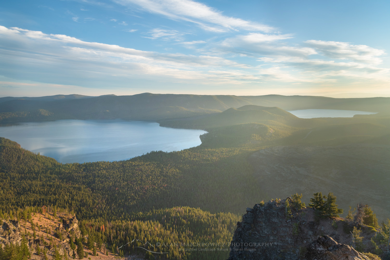
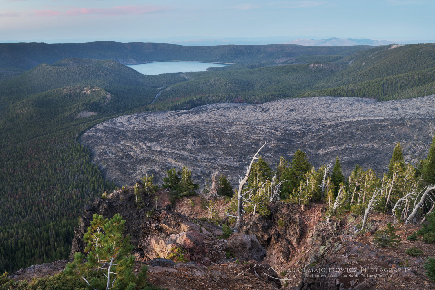
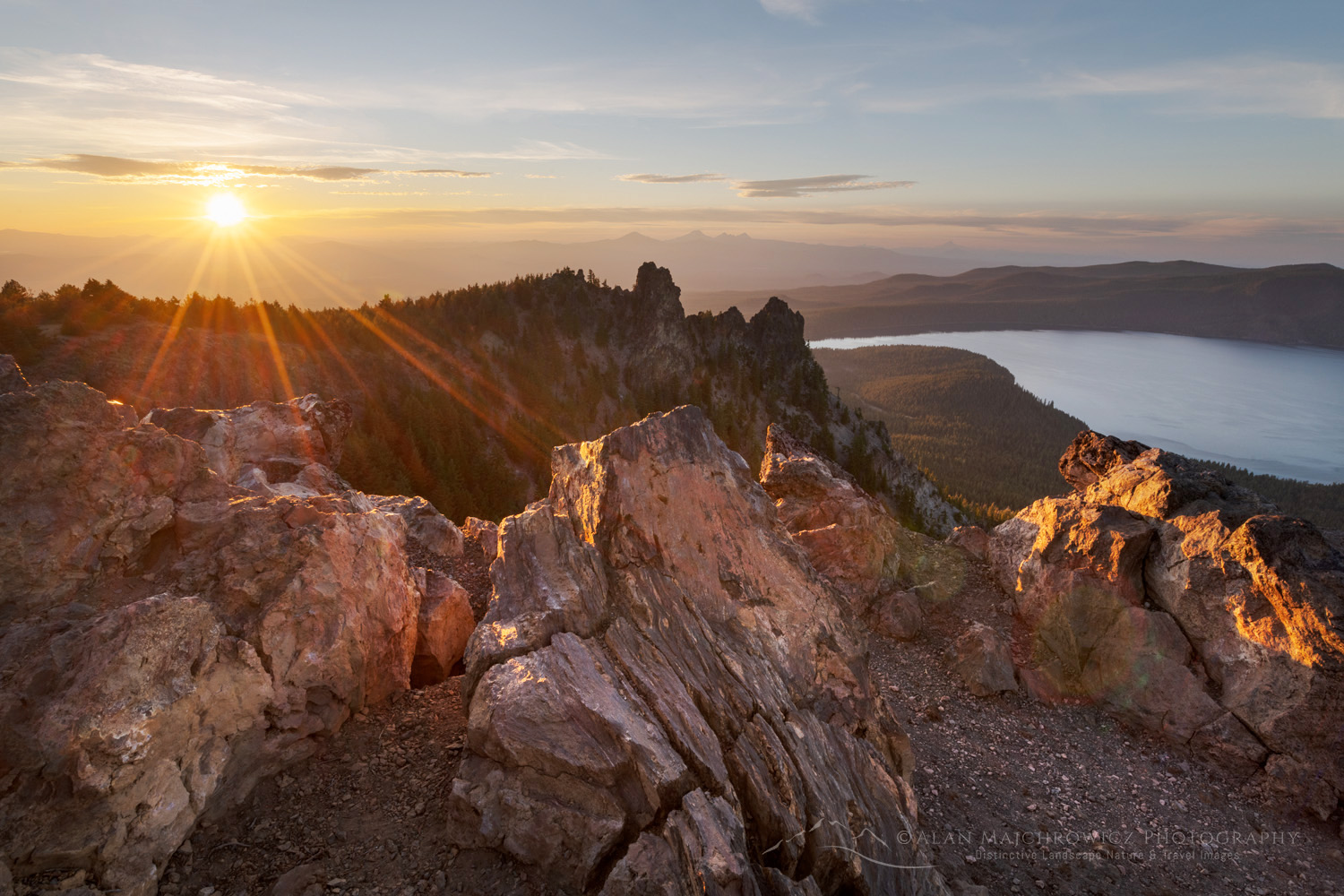
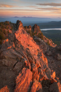
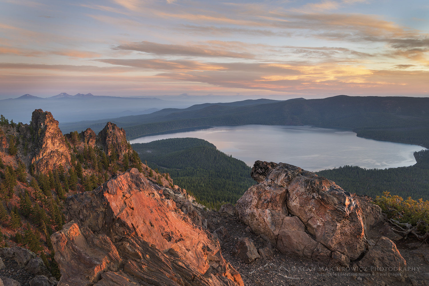
Dramatic sunrise sky over Paulina Lake and the Cascade Range seen from Paulina Peak overlook. Newberry National Volcanic Monument, Oregon #840825. Newberry Crater National Volcanic Monument Oregon #84082  Purchase

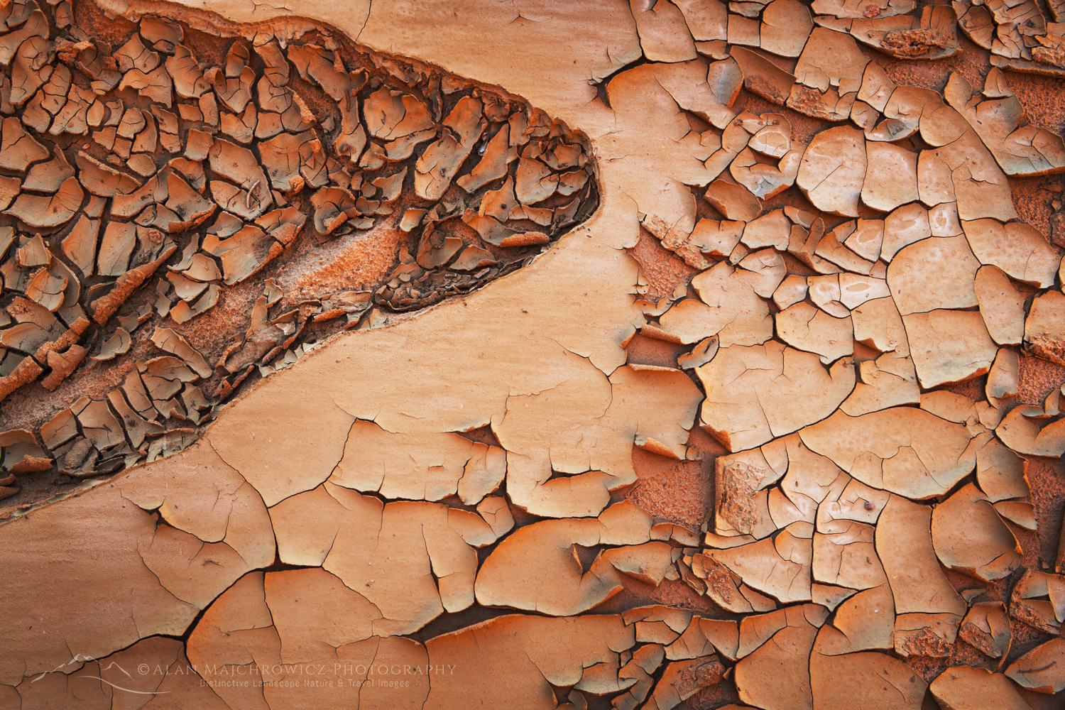
Cracked mud patterns in Harris Wash Grand Staircase-Escalante National Monument Utah #846146. Mud Cracks, Harris Wash Utah #84614  Purchase

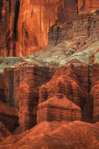
Mummy Cliffs Capitol Reef National Park, Utah #848117. Mummy Cliffs Capitol Reef National Park #84811  Purchase

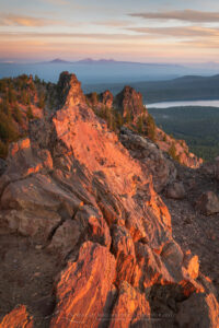
Upper Blue Hills Badlands in the Caineville Desert, Utah #84910 Photo Highlights 20248. Blue Hills Badlands Utah #84910  Purchase

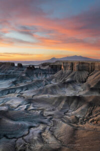
Dramatic view of the Upper Blue Hills Badlands from Skyline Rim. Caineville Desert, Utah #850029. Skyline Rim Utah #85002  Purchase

Sunset at Wooden Shoe Arch Overlook. Islands in the Sky District, Canyonlands National Park #8537610. Needles District, Canyonlands National Park #85376  Purchase

All photos appearing in Photo Highlights 2024 can be purchased as Fine Art Prints. They can also be licensed for commercial usage.

Help Conserve the places you and I love

If the images in this post inspire you to go out to visit or photograph our natural world please consider some of the ethical guidelines presented below:

Leave No Trace
To learn about the principles and practicing LNT please take a few minutes to visit the Leave No Trace Center for Outdoor Ethics. Your children, grandchildren and the Earth will thank you!

LEAVE NO TRACE SEVEN PRINCIPLES

1. Plan Ahead and Prepare
2. Travel and Camp on Durable Surfaces
3. Dispose of Waste Properly
4. Leave What You Find
5. Minimize Campfire Impacts
6. Respect Wildlife
7. Be Considerate of Other Visitors
© Leave No Trace: www.LNT.org


Principles of Nature First:

  • Prioritize the well-being of nature over photography
  • Educate yourself about the places you photograph
  • Reflect on the possible impact of your actions
  • Use discretion if sharing your locations
  • Know and follow all rules and regulations
  • Always follow Leave No Trace principles, and strive to leave places better than you found them
  • Actively promote and educate others about these principles

Photo Highlights of 2024

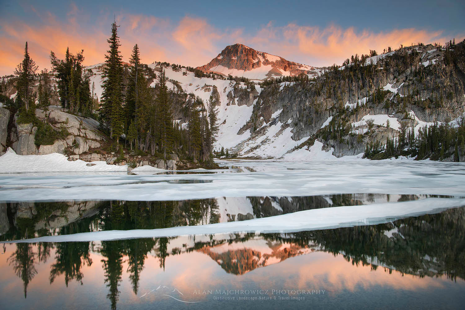
Eagle Cap and Mirror Lake Eagle Cap Wilderness Orergon

Eagle Cap Wilderness Wallowa Mountains

Eagle Cap Wilderness Wallowa Mountains

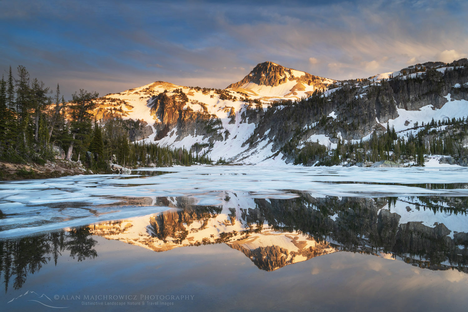
Eagle Cap and Mirror Lake Eagle Cap Wilderness OregonEagle Cap reflected in Mirror Lake  #68776  Purchase

As part of the Summer 2020 Photography Tour, my first destination was the Eagle Cap Wilderness in northeast Oregon. Over the years I’ve repeatedly passed over this rugged wilderness while on my way to other destinations further east. Every time I would drive by on Interstate 80 I’d glance at them and promise to visit them next time. This went on for over twenty years! However, on this trip the stars aligned and I finally worked it into the schedule.

The Eagle Cap Wilderness sprawls out over most of the Wallowa Mountains. At over 360,000 acres it is the largest wilderness area in Oregon. That’s quite a lot of territory for such a small mountain range. A couple of other things also sets the Eagle Cap apart from other Oregon wilderness areas. First is its geology. Nearly every other mountain wilderness in Oregon is made up of various forms of volcanic rock. In contrast, the Wallowas contain mostly granitic rock. Secondly, the Wallowas are in a higher range. Many of the peaks are  1000′ – 2000′ higher than those in the Cascade Range to the west. And of course, due to its eastern location, the climate is drier, although the peaks still receive copious amounts of winter snow.

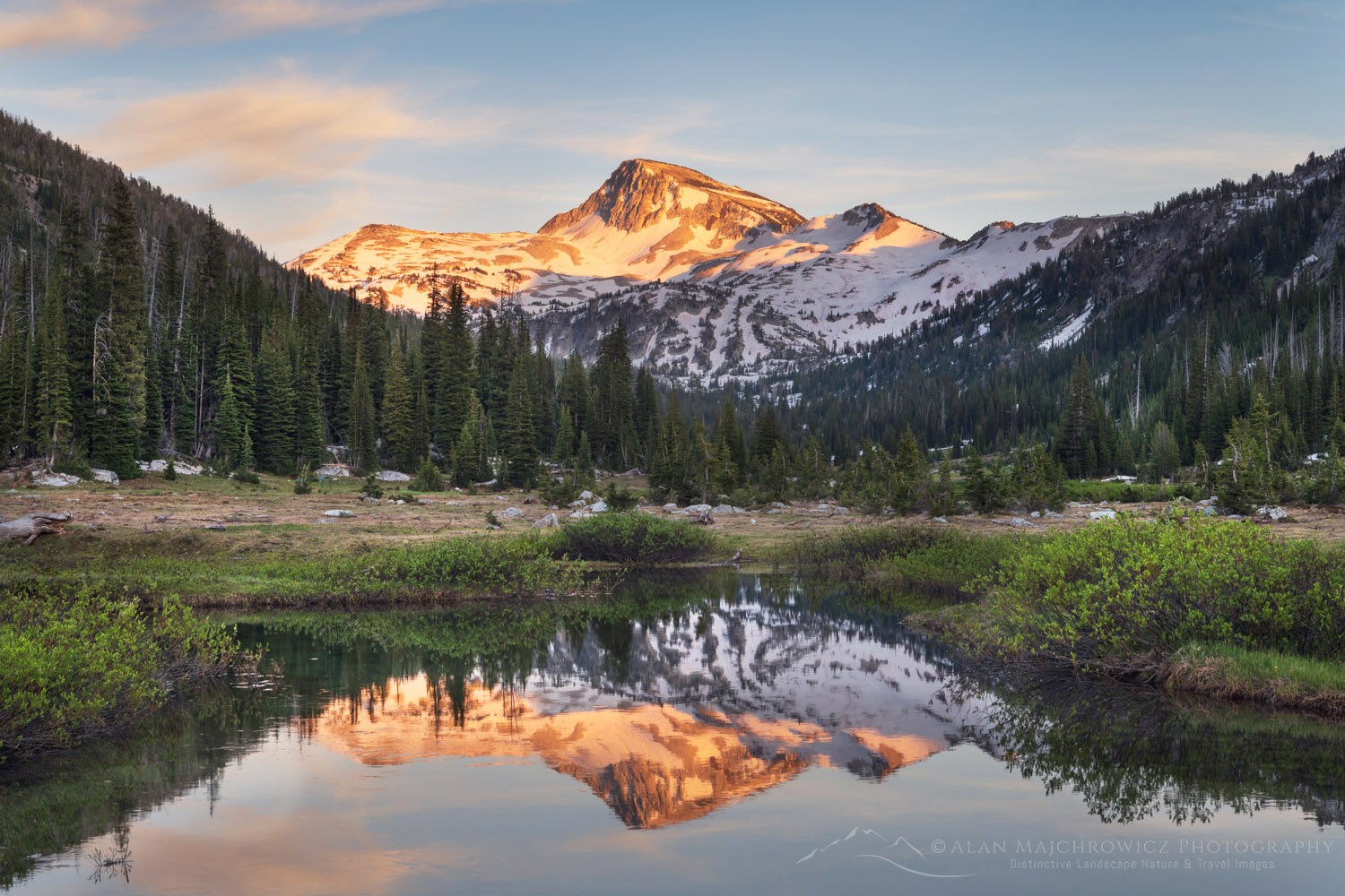
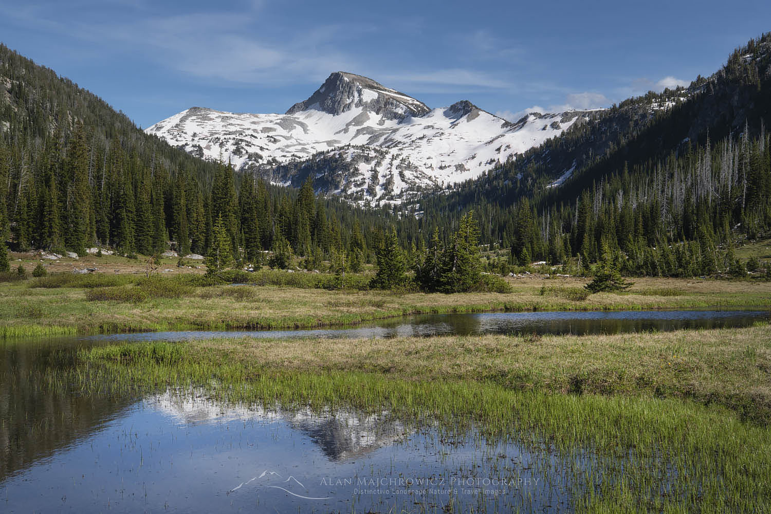
Eagle Cap, Eagle Cap Wilderness OregonEagle Cap #68862  Purchase

Backpacking In The Eagle Cap Wilderness

Since this was my first trip, and I wasn’t sure how long it would be before a return visit, I wanted to photograph in the most scenic locations. After poring over maps, online trip reports, and searching for photos of specific areas I settled on two destinations.

For nearly everyone, the central Lakes Basin is the prime spot for day hikes and overnight trips. This area is where the highest peaks and most of the alpine lakes are situated. Consequently, it is also the area that receives the most visitors. I chose two areas for this trip, and due to practicalities divided them into separate trips. The first would be an extended stay at Mirror Lake and several adjacent lakes, by way of taking the East Lostine River Trail. The second trip was to be a shorter one to Ice Lake via the West Fork Wallowa River Trail. Both trips would ensure excellent photo opportunities. The one uncertainty was the fact that despite it being nearly mid-July there still appeared to be a good deal of snowpack left in the alpine.

Lostine River Trail, Eagle Cap Wilderness, Wallowa Mountains OregonEast Lostine River Trail  #68765  Purchase

Hiking Into Mirror Lake

This trip was also to be my introduction to the realities of traveling during the COVID 10 Pandemic. Driving up the long, bumpy, and dusty Lostine River Road, where I was to spend the first-night car camping,  I found nearly every campsite was occupied. At the time I thought it was due to being the weekend. Later on, I would find out that where or when didn’t matter, crowds were everywhere. After finding a decent spot I sorted through and prepared all my gear for an early start in the morning.

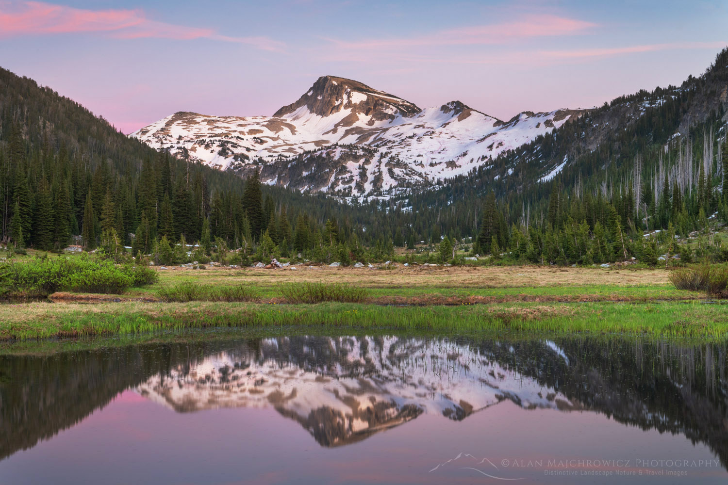
The next day I hit the trail bright and early and brimming with excitement about the views and pictures awaiting me. The first half of the East Lostine River Trail is fairly uneventful and typical of a forest approach hike. The second half, however, is very pleasant and scenic. This is due to the fact it enters a very long nearly flat sub-alpine valley with wide-open views for over a mile. During this section the trail skirts along open meadows, ponds, and the lazily flowing Lostine River. At the head of the valley looms 9572′ Eagle Cap Peak. This is where I first worried about the timing and feasibility of my two trips.

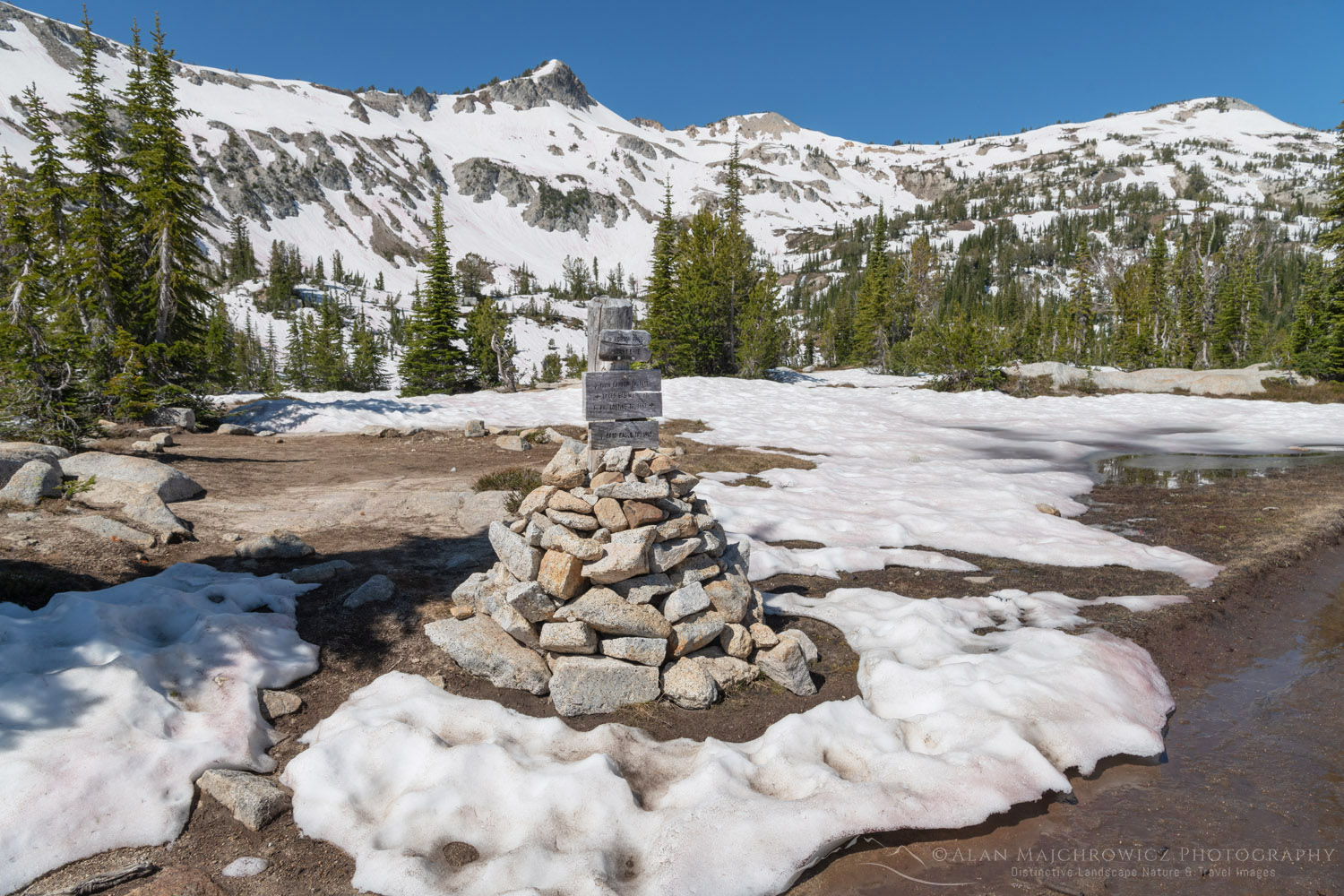
Eagle Cap Wilderness OregonEagle Cap Wilderness Cairn  #68822  Purchase

There were still numerous spots of avalanche snow left melting on the trail, and Eagle Cap, and the pass to Mirror Lake was nearly covered in snow. This left me thinking about the chances of successful photography, and of being able to visit all the lakes on my itinerary. The last mile or so to the pass was mostly over deep snow, although it was firm and post-holing was at a minimum. It was a pleasant surprise to find more open ground at the pass. Conditions at Mirror Lake were my main concern though.

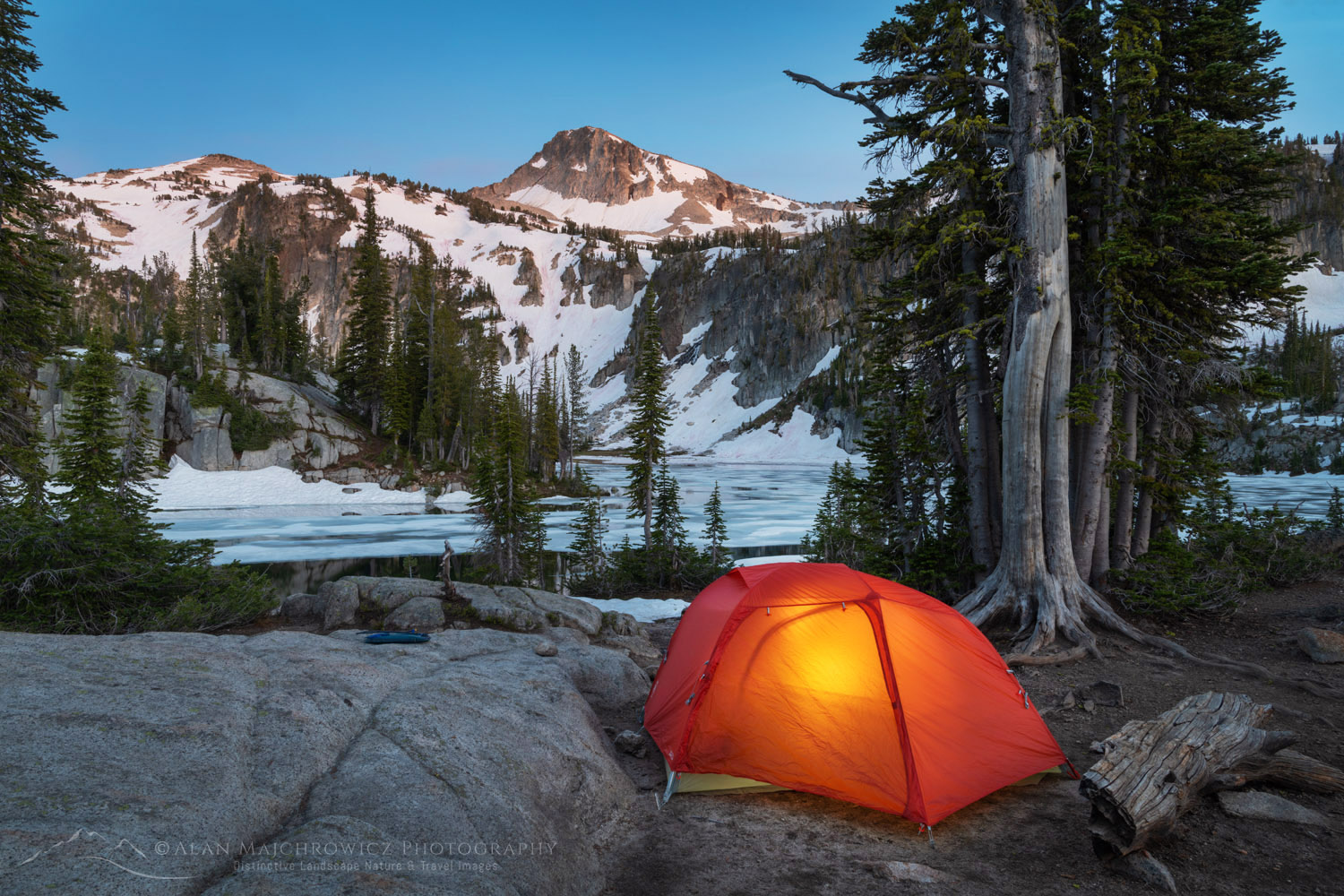
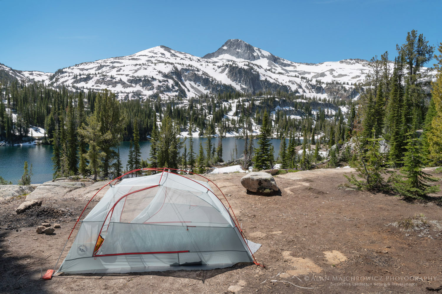
Backcountry camp Eagle Cap Wilderness OregonMirror Lake Camp Eagle Cap Wilderness  #68804  Purchase

Mirror Lake Camping And Photography

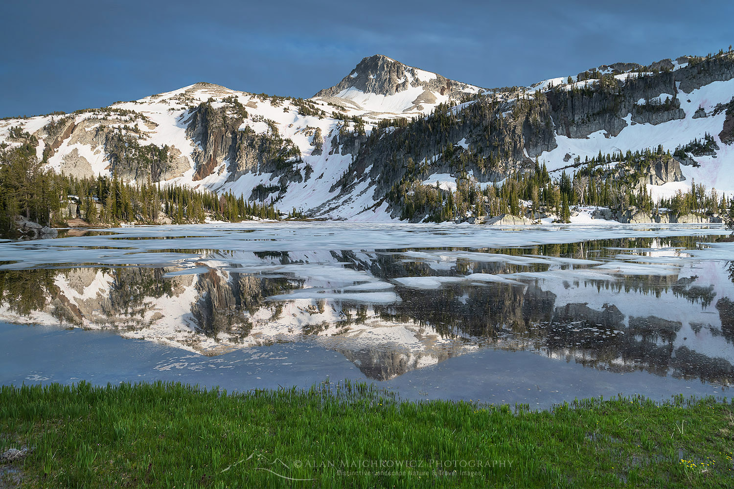
On approaching Mirror Lake at 7595′ I saw that its surfaces had about 75% ice on. Most of the open water was along the shoreline, which was good news for me. Also, the majority of designated campsites were still under snow. However, one especially attractive site near the lake was completely snow-free.

There probably wasn’t a better spot in miles. The view across the lake to Eagle Cap was outstanding, and if the light cooperated I was sure to come away with some great photos. As usual, I spent the rest of the afternoon scouting the area in advance for photo compositions. And while I found a few good ones the one near my camp was clearly the best, at least until all the snow melted.

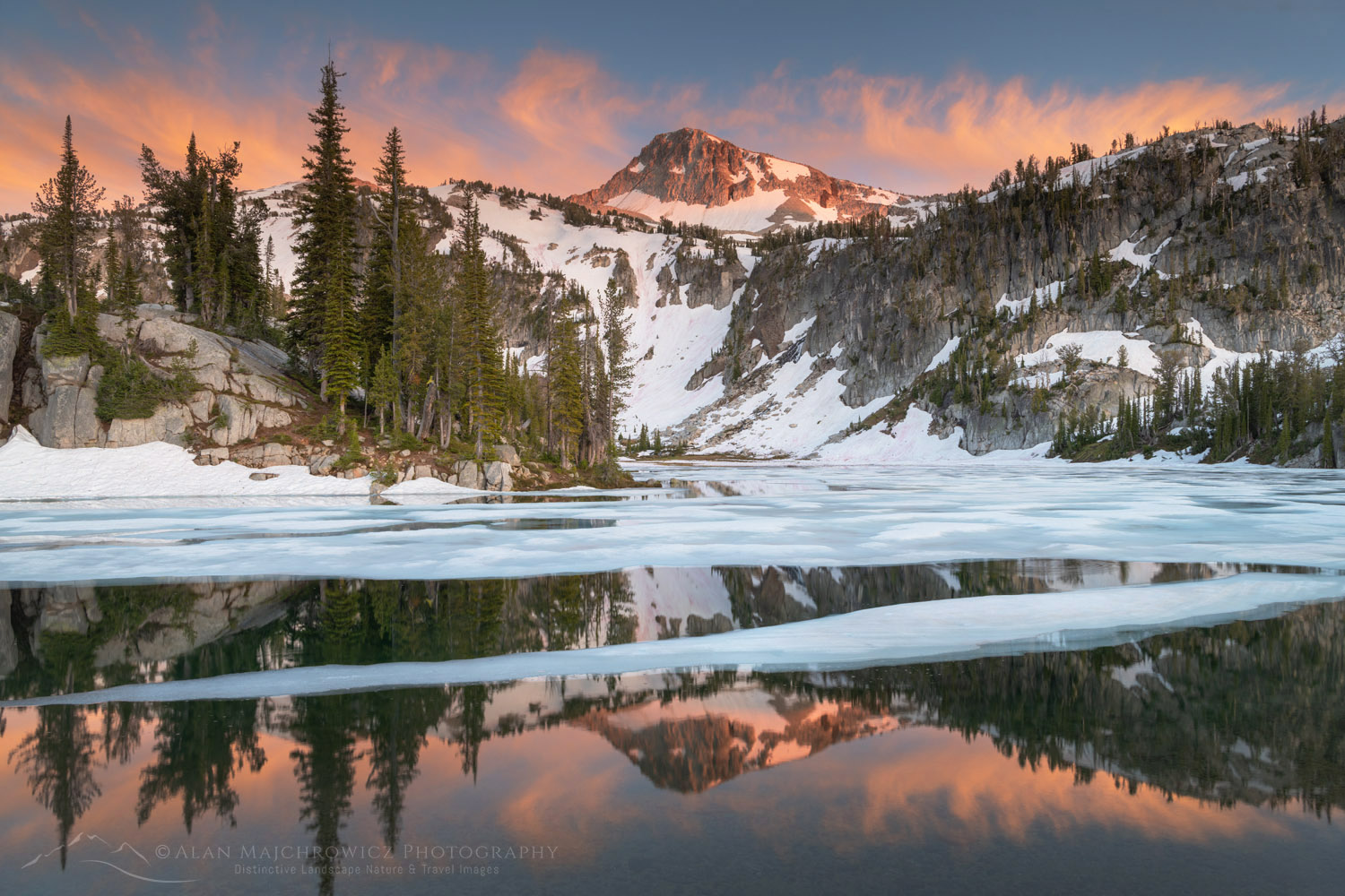
Eagle Cap and Mirror Lake Eagle Cap Wilderness OregonAlpenglow over Eagle Cap  #68793  Purchase

Up until that time I planned to move on the next day over another pass to Glacier Lake. But it was obvious the way would be entirely over snow, and since Glacier Lake was even higher up it was certain to be nearly frozen over. Because of this I reluctantly made the decision not to go, and spend more time in the immediate area instead.

During the afternoon the sky had clouded over,  and I thought I would be out of luck for a photo session with good evening light. But towards sunset, it became apparent that the clouds were starting to clear in the west. Soon sun rays began to stream through and illuminate the lake area and Eagle Cap.

Backcountry camp Eagle Cap Wilderness OregonMoccasin Lake Camp  #68814  Purchase

Moccasin Lake And Out

Since Glacier Lake was now out of the picture I went scouting higher up on the open slopes behind the camp and on the way to the other lakes in the basin. There was still too much snow to make the other lakes worthwhile so I went down to nearby Moccasin Lake. Even though it was only a few hundred feet lower there was considerably less snow. But unfortunately, I found only one established campsite. It was on a rock shelf above the lake with a great view, but it was also sorely overused. This must be the only site in the area since there was enough bare dusty ground for several parties.

I wasn’t as fortunate here with the light and compositions so I took advantage of clear skies to do some night sky Milky Way photography. The next day I decided to move back down the trail to the open meadows along the Lostine River. On my way in I saw some great photo opportunities in this area so I made this my final destination on this hike. After finding a hidden out-of-the-way campsite I was able to make several more evening photos.

Milky Way over Eagle Cap Wilderness OregonMilky Way Over Eagle Cap  #68819   Purchase

The next day I headed out with mixed feelings. On the one hand, I was able to spend some time in one of the best locations in the Wallowas and make some wonderful images to boot. On the other hand, the lingering snowpack prevented me from photographing some other great areas.

Afterward, I drove to Joseph Oregon to have a good meal. I also had to decide if it would be worth doing the second trip to Ice Lake. After agonizing over the decision it was apparent that it was still too early in the season to make it worthwhile for the photographs I had in mind.

So the next morning I began the drive to the second major destination of the summer photo tour, the Cecil D. Andus-White Clouds Wilderness of Idaho. Check back to read a post on that incredible area!

Eagle Cap, Eagle Cap Wilderness OregonEagle Cap Reflection  #68866 Purchase

If You Go:

Round trip to Mirror Lake from Lostine River Two Pan Trailhead:  14 miles
Elevation Gain:  about 2200′
Difficulty:  Moderate
Red Tape:  Northwest Forest Pass or America the Beautiful Pass required
Map: Green Trails Wallowa Mountains Eagle Cap Wilderness Map

The Two Pan Lostine River Trailhead is located about 18 miles south of Lostine Oregon, on Forest Road #8210. The last 10 miles are unpaved and can be rough in several places. Along Forest Road #8210 there are numerous small campgrounds and a few opportunities for primitive dispersed camping.

Note that Mirror Lake is only one of many backcountry destinations from this trailhead. Mirror Lake can be the only destination or be part of extended backpacking trips into the Wallowas. Check out the map in the link above for all the exciting possibilities.

The town of Joseph Oregon at the head of the very scenic Wallowa Valley makes a great base for trips into the Wallowas. It’s also a great jumping-off town for adventures in the Hells Canyon Recreation Area. It has everything you’ll need, from good food and lodging to brewpubs, a distillery, and outdoor recreation stores. There are also numerous local artists displaying their work in Joseph’s galleries. Make sure to check out the Josephy Center For Arts & Culture while you’re there.

Eagle Cap reflected in Mirror LakeEagle Cap Mirror Lake  #68801  Purchase

Leave No Trace

And now for a short lecture. As I’ve been saying in previous posts, don’t even think about visiting this or any other wilderness area unless you are prepared to follow the guidelines of Leave No Trace (LNT). The Eagle Cap and all other wilderness areas throughout the world are under incredible pressure from growing amounts of visitors. Please do your part to tread lightly and help preserve these precious areas for future generations!

To learn more about the principles and practicing LNT please take a few minutes to visit the Leave No Trace Center for Outdoor Ethics. Your children and grandchildren will thank you!

Seven Leave No Trace Principles

  • Plan ahead and prepare.                                       
  • Travel and camp on durable surfaces.                 
  • Dispose of waste properly.                                                                         
  • Leave what you find.                                            
  • Minimize campfire impacts (be careful with fire).
  • Respect wildlife.  
  • Be considerate of other visitors.

Photo Gear Used On This Trip

Nikon D850
Nikkor Lens:
14-24mm 2.8G ED
24-70mm 2.8E ED
70-200mm 2.8E FL ED
Gitzo 1532 Tripod
Really Right Stuff B-55 Ball Head
Assorted Lee Graduated Neutral Density Filters
B+H Polarizing Filter
Vello FWM-N2 Remote Shutter Release

If you enjoyed reading Eagle Cap Wilderness Wallowa Mountains please share it with your friends and family.

All photos appearing in Eagle Cap Wilderness Wallowa Mountains are available for Commercial Licensing and Fine Art Prints. Click on any image to purchase, or contact me for more info!

Eagle Cap reflected in Mirror Lake, Eagle Cap Wilderness Oregon

2020 Summer Photography Tour Update

2020 Summer Photography Tour Update:

Eagle Cap Wilderness Oregon 2020 Summer Photography TourEagle Cap Wilderness Oregon #68793  Purchase

With over two weeks into the 2020 Summer Photography Tour it’s time to post a brief update. So far my travels have taken me to the Palouse Region of Washington State, the Eagle Cap Wilderness of Oregon, and the White Clouds Wilderness of Idaho. Next up is the Wind River Range of Wyoming. Although last year’s trip also took me to the Winds, this year I’ll hit some new locations.

The next destination after my stay in the Winds is still to be determined. However, a drive along the Beartooth Highway may be possible before heading into Montana.

Appearing in this post are some of the photo highlights so far. These photos are quick on the road edit and processing with the final image to come later when I’m back in the office. Image licensing and fine art prints are available for all of them, but print orders may be delayed several weeks.

Eagle Cap Wilderness Oregon 2020 Summer Photography TourEagle Cap Wilderness Oregon

Palouse Washington 2020 Summer Photography TourPalouse Washington #68706  Purchase

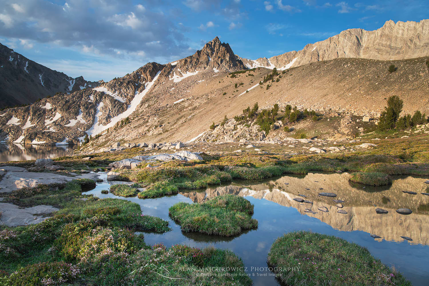
White Clouds Wilderness Idaho 2020 Summer Photography TourWhite Clouds Wilderness Idaho #68943  Purchase

White Clouds Wilderness IdahoBoulder Lakes White Clouds Wilderness Idaho #68953  Purchase

White Clouds Wilderness IdahoWhite Clouds Wilderness Idaho #68968  Purchase

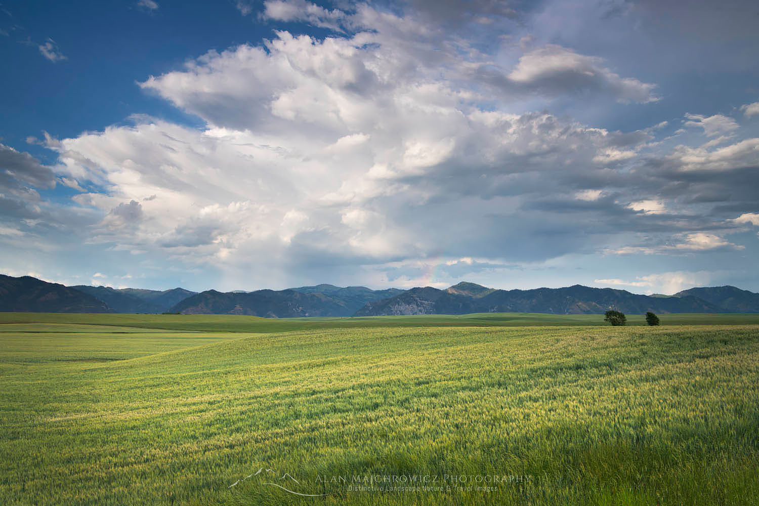
Snake River Plains Wheat Fields near Swan Valley, IdahoSnake River Plains Wheat Fields Idaho #69008  Purchase

All photos appearing in 2020 Photography Tour Update are available for Commercial Licensing and Fine Art Prints*.

*Print orders may be delayed several weeks until I return to the office.

Want to learn more about Landscape & Nature Photography? Take your Creative Photography to the next level with  Private Instruction and Guided Photo Tours.

Castle Reef Mountain Sun Canyon Montana

Photography Tour Summer 2020

Photography Tour Summer 2020

Castle Reef Mountain Sun Canyon Montana Photography Tour Summer 2020Castle Reef Mountain Montana #68136  Purchase

Photography Tour Summer 2020 begins on July 7! For obvious reasons it has been extremely difficult this year to plan photo shoots, and I’m incredibly excited to get back to work on the road and trail. Many locations I was hoping to photograph remain closed or have difficult travel restrictions in place. With this in mind, I decided to once again make this year’s photography tour based on wilderness backpacking. Not only is it a method of photography I thoroughly enjoy, but in the current climate, it is also safer.
As with the 2019 photography tour, this year will include some new destinations I haven’t yet photographed, along with old favorites where I need more in-depth coverage. In some ways, this trip will be a continuation of last year’s. Most locations will be in the Northern Rocky Mountains and will include some that I couldn’t get to last year.

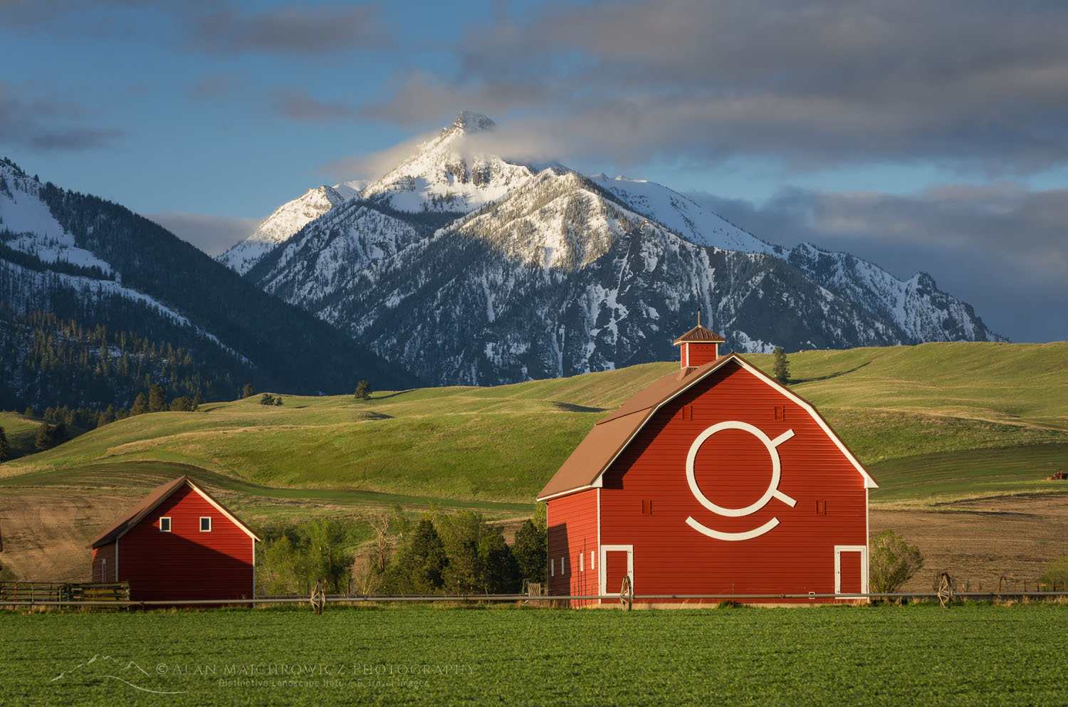
Red Barn Wallowa Valley Oregon Photography Tour Summer 2020Wallowa Valley, Oregon #61145  Purchase

Eagle Cap Wilderness Oregon

The first stop will be the Eagle Cap Wilderness of Oregon’s Wallowa Mountains. This is a destination that has been on my see and photograph list for many years, but for various reasons, I’ve passed them up. On this trip, I hope to photograph many of the alpine lakes in the core loop of the range.

The Wallowas, located in the northeast corner of the state, is a unique range in Oregon. While most mountains in Oregon are made of volcanic rocks the Wallowas are mainly granitic and have a more rugged appearance. The Eagle Cap Wilderness is the largest in Oregon and is host to many alpine lakes and some of the highest peaks in the state.

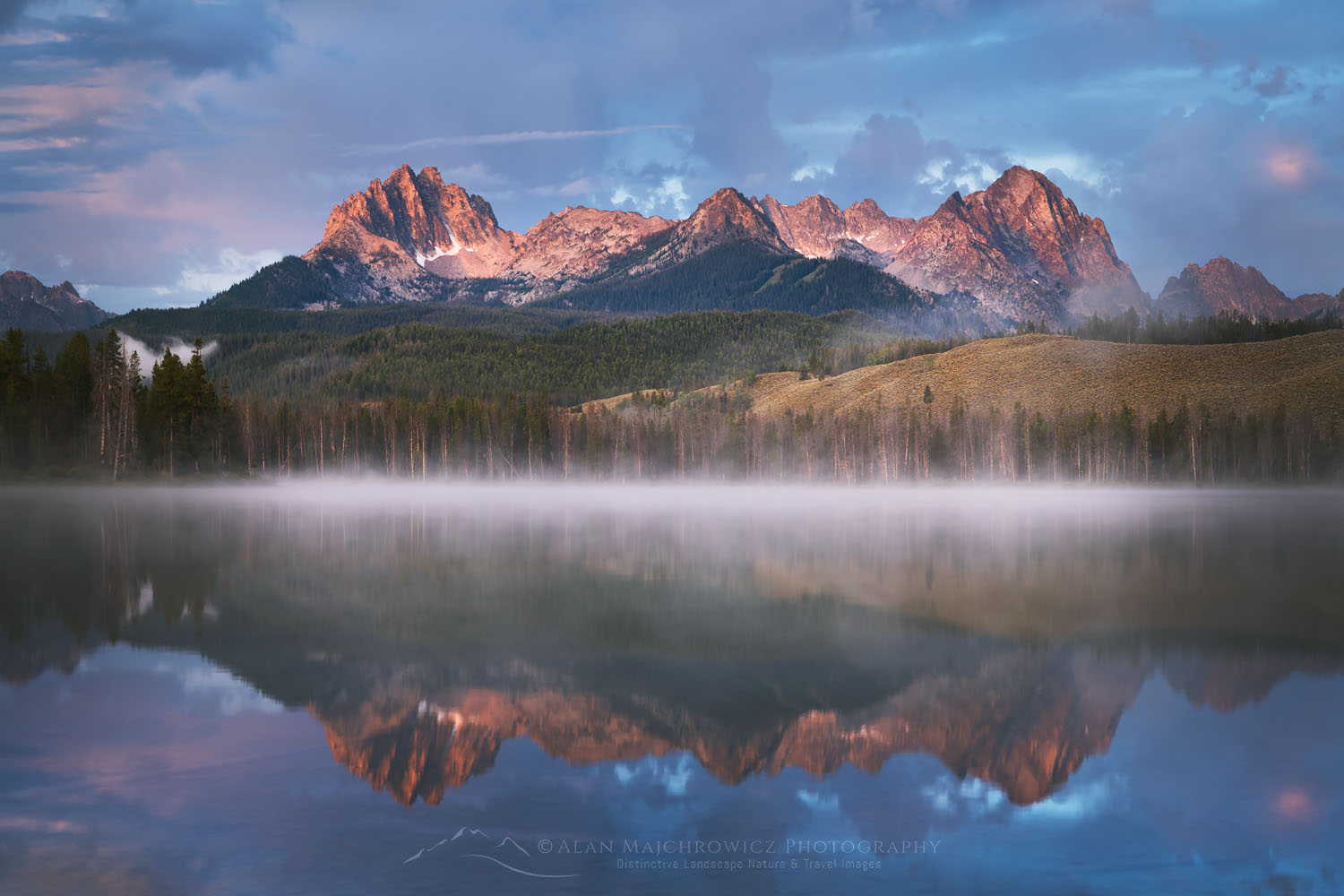
Little Redfish Lake Sawtooth Mountains Idaho Photography Tour Summer 2020Little Redfish Lake, Sawtooth Mountains Idaho #66235  Purchase

White Cloud Wilderness Idaho

Last year while backpacking and photographing in the Sawtooth Mountains of Idaho I saw another range of high mountains to the East. After some research, I found out that they were peaks of the White Cloud Wilderness, part of the newly created Boulder-White Cloud Wilderness. With the other units being the Jim McClure-Jerry Peak Wilderness, and the Hemingway-Boulders Wilderness. Together they protect 275,000 acres of spectacular mountain wilderness in Central Idaho.

Rising just across the valley from the more famous and popular Sawtooth Mountains, the White Clouds also have many peaks over 10,000′ with numerous alpine lakes. However, since it is less well-known I’m expecting a greater degree of solitude. On this initial visit, I hope to visit and photograph many of the peaks and lakes in the core area.

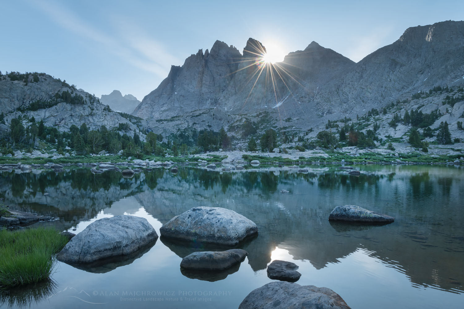
Mount Bonneville Wind River Range WyomingBonneville Lake Wind River Range #66285  Purchase

Wind River Range Wyoming

Last year I spent considerable time photographing in the “Winds”.  However, it is a big range with enough destinations to fill a lifetime of exploration. This year I plan to visit a few new spots and return to a couple of classics. One possible backpack is Desolation Valley/Hailey Pass-Washakie Pass Loop. Another is Middle Fork Lake and Pronghorn Peak in the central part of the range. Finally, a return trip to Cirque of the Towers and Deep Lake is also on the table.

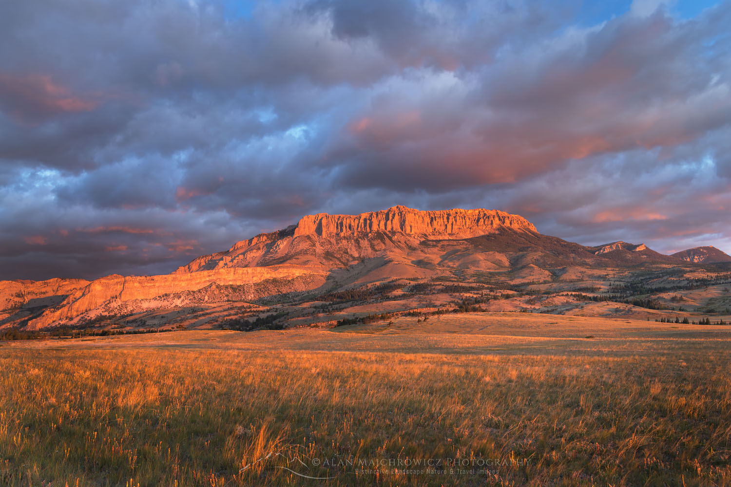
Castle Reef Mountain Sun Canyon MontanaRocky Mountain Front Range Montana #68145  Purchase

Bob Marshall Wilderness Montana

Affectionately known among locals and avid backpackers as “The Bob”, this is another wilderness destination that has been on my must-see list for decades. The Bob Marshall Wilderness Complex is a huge swath of land straddling both sides of the Continental Divide. An important part of the Greater Yellowstone Ecosystem it is home to the largest intact population of Grizzlies in the lower 48.

The Bob was one of the first areas I wanted to see when I started backpacking in my late teens. Unfortunately, it was passed over and forgotten many times over the years in favor of other destinations. This year I hope to remedy that oversight. The sole destination on this trip will be a multi-day backpack to the famous Chinese Wall and the meadows along its base. This is arguably the signature feature of the complex, a 12-mile-long 1000′ high limestone escarpment on the Continental Divide.

Bighorn Canyon National Monument MontanaBighorn Canyon Montana #52263  Purchase

Other Montana Destinations

Last year, due to limited time and weather, I had to skip a few destinations in Montana. Hopefully this year I’ll get to photograph them. While this writing is not certain, Bighorn Canyon National Recreation Area, Beartooth Highway, and the Upper Missouri River Breaks are back on the list. Then of course there are also several backcountry destinations in Glacier National Park I’d like to photograph, but that’s probably going to be a stretch.

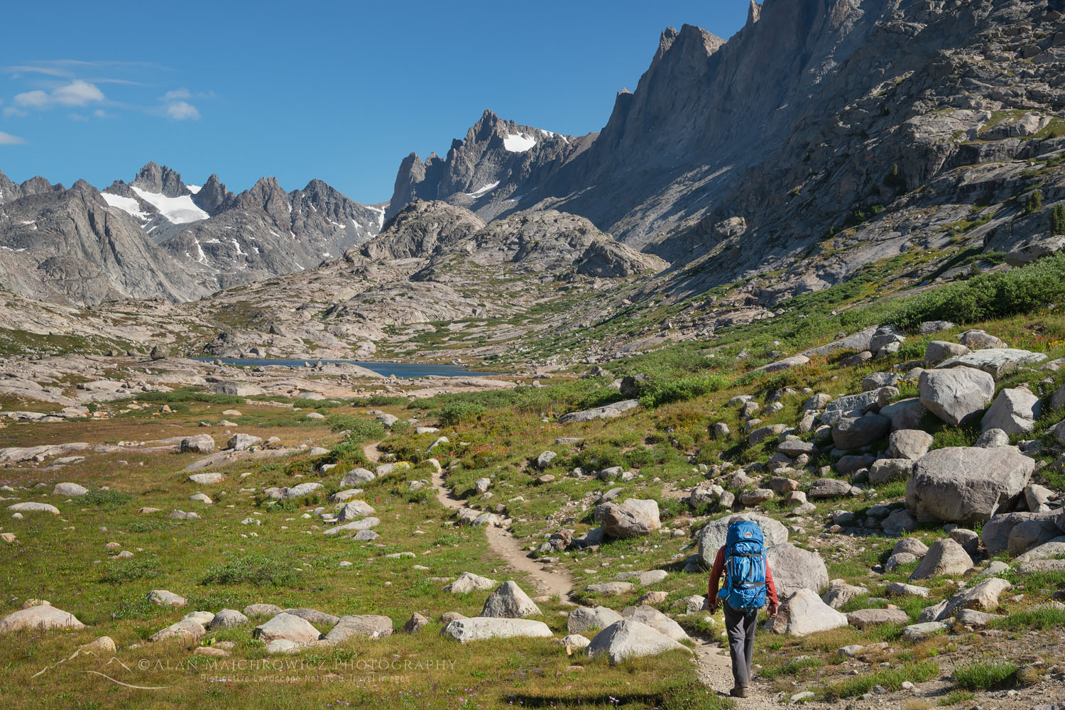
Backpacker on Titcomb Basin Trail Wind River Range WyomingWind River Range Backpacking #66780  Purchase

List of Locations:

Below is the list of the Summer 2020 Photography Tour locations in the order of start to finish. I would love to hit all of them but of course, time and weather will dictate my itinerary. If you’re planning on traveling to any of them let me know. I’d love to meet up if possible!

Eagle Cap Wilderness, Oregon
White Cloud Wilderness, Idaho
Wind River Range, Wyoming
Beartooth Highway, Wyoming/Montana
Bighorn Canyon National Recreation Area, Montana
Upper Missouri River Breaks, Montana
Bob Marshall Wilderness, Montana
Glacier National Park, Montana
*Locations subject to change due to weather and travel restrictions

All photos appearing in Photography Tour Summer 2020 are available for Commercial Licensing and Fine Art Prints

Want to learn more about Landscape & Nature Photography? Take your Creative Photography to the next level with  Private Instruction and Guided Photo Tours.

Photography Tour Summer 2020