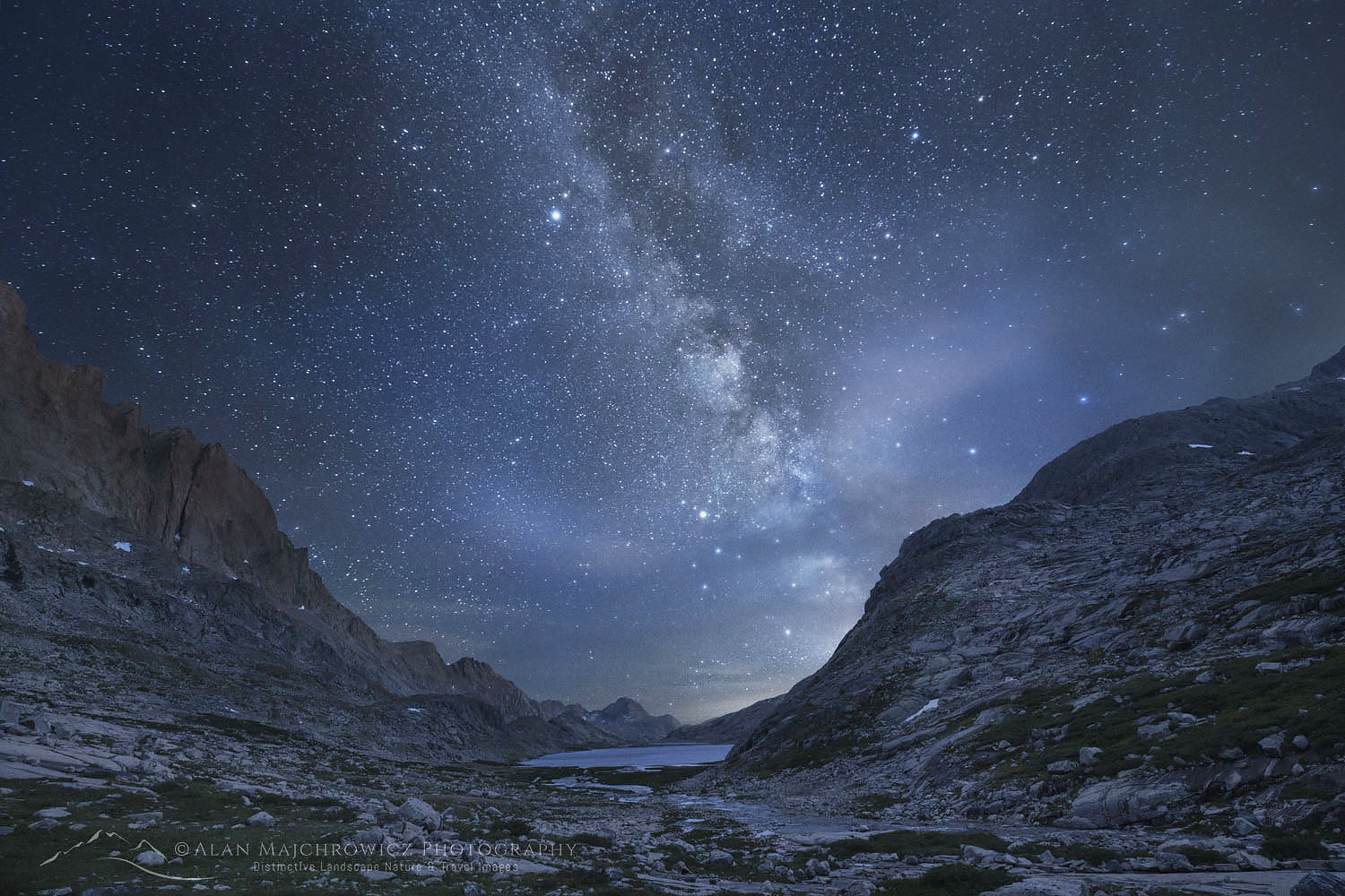
Bonneville Lakes Wind River Range
 Bonneville Lakes Wind River Range #66272 Purchase
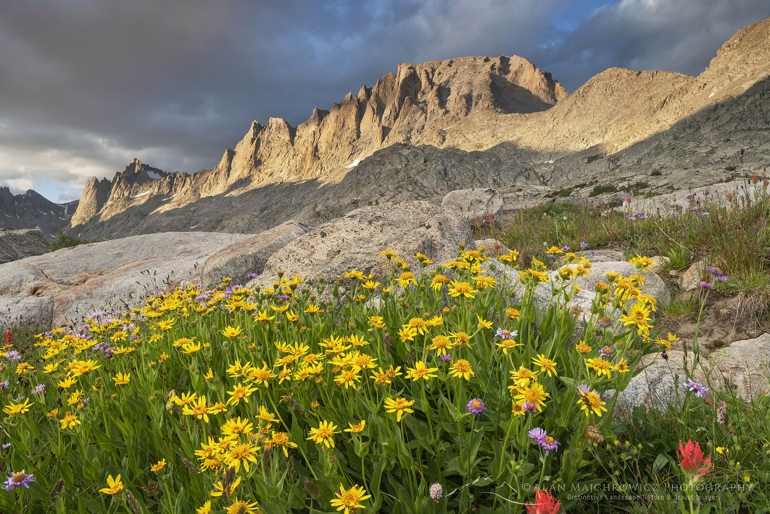
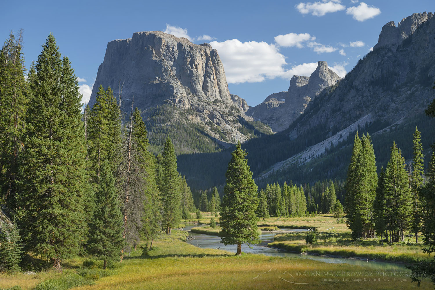
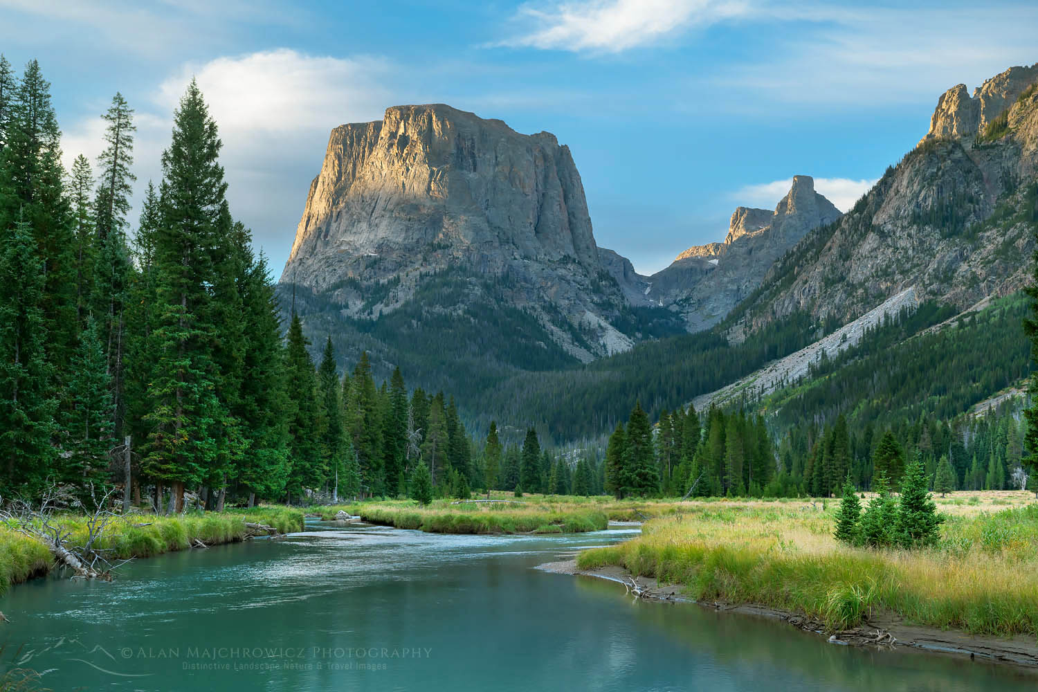
The second part of last summer’s Rocky Mountain photo tour took place in the Wind River Range of Wyoming. This spectacular section of the Rockies contains 40 peaks over 13,000 feet, the largest glacier in the American Rockies, and over 1300 named lakes. All are spread over three wilderness areas. Several areas can get downright crowded with hikers and climbers. However, numerous trails rarely see any boot traffic.
My first destination in the Winds was one of those quiet spots, Bonneville Basin. While planning my stay in the Winds I was looking to visit an area that was new to me with good photo potential. I had seen photos of this area online and I was immediately impressed by its rugged beauty and remote feel.
There are a couple of trailheads accessing this area, Scab Creek and Big Sandy, both entail long miles of hiking to get to Bonneville Basin. I opted for Big Sandy since it starts higher and I was already familiar with it. The Big Sandy trailhead accesses one of the most popular areas in the Winds, Cirque of the Towers. I knew what to expect here, well over a hundred vehicles. Consequently, they were overflowing the parking lot and lining the road for nearly a mile. Therefore I arrived very early in the morning and found a spot right next to the trail kiosk.
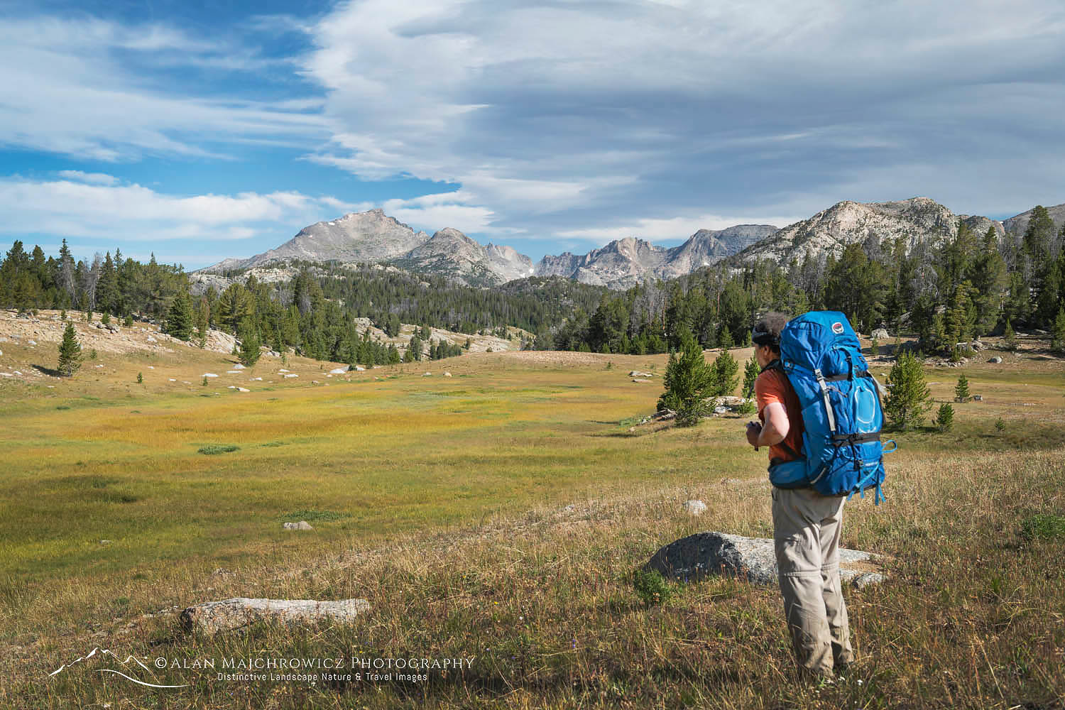 On the Fremont Trail near Dad’s Lake #66325 Purchase
Backpacking to Bonneville Lakes
Backpacking trails on the west side of the Winds can be somewhat deceiving. On a map, you will see trailheads starting at around 9000′ with your destination at around 10,000′. The length of your hike may be anywhere from 5-15 miles. This may lead you to believe that a relaxing hike with minimal elevation gain awaits you. But, in most cases, you would be dead wrong.
The Big Sandy Trailhead sits at 9080′, Bonneville Basin is at 10,500′, a mere 1500′ higher. However, in the 17 miles to the basin, you will hike a roller coaster of a trail. My rough tally was around 3000′ of elevation gain. The good news is that much of the distance you will be hiking at or above the tree-line, with awe-inspiring views most of the way.
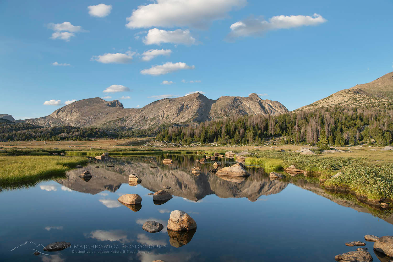 Unnamed lake along the Fremont Trail benchland #66257 Purchase
After an initial climb through the forest, the trail opens up into expansive subalpine meadows. The hiking is pleasant for the next five miles, as it passes picturesque lakes with great views. The first seven miles or so can feel like you’re on a freeway since the trail is shared with groups of backpackers doing the extremely popular Hailey-Washakie Loop. Solitude begins at the trail junction to Pyramid Lake, a short way beyond Marms Lake. This is where parties doing the Hailey-Washakie Loop exit the Fremont Trail. Although the loop trip was tempting I stayed with my original plan.
From here on I met a few other hikers, several of which were doing the Continental Divide Trail, or CDT. I always envy these hikers. Although they are on a trip of over 1000′ miles their packs are tiny and weigh next to nothing. Mine, however, is a great burden weighed down with heavy camera gear.
The Fremont Trail continues its roller-coaster nature for the next nine miles to the Raid Lake junction. An especially taxing point is the descent to East Fork Crossing, immediately followed by a stiff climb to a high plateau. I decided to call it a day and camp at an unnamed lake a few miles from the Raid Lake junction.
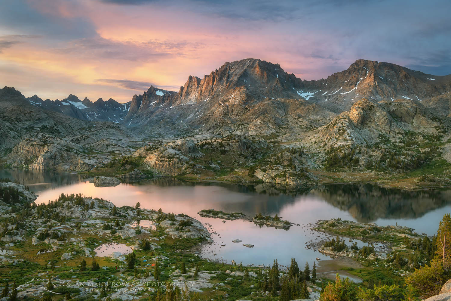
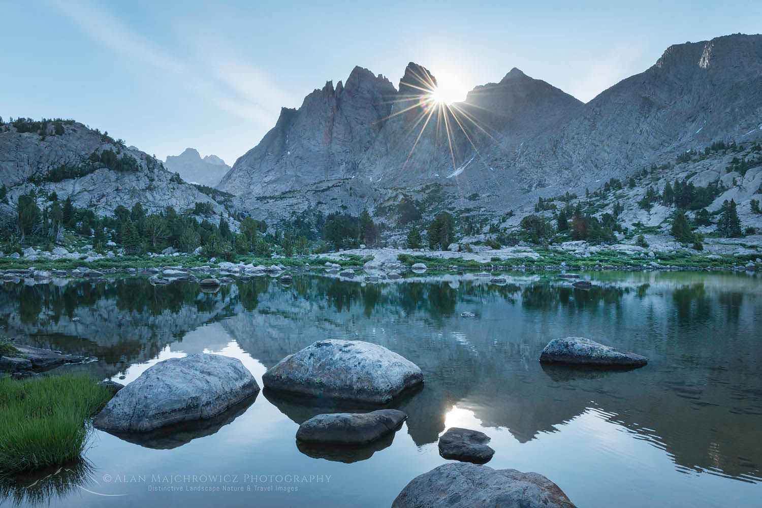 Little Bonneville Lake #66285 Purchase
At Bonneville Lakes
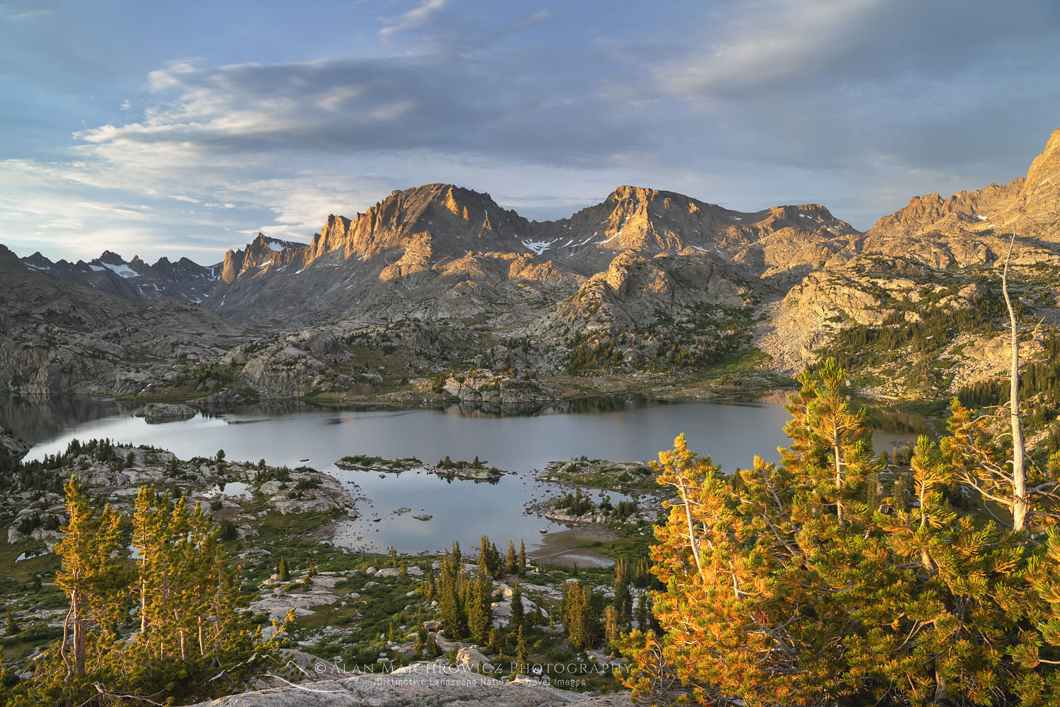
The next day I hiked more ups and downs on the final few miles to the junction. Exiting the Fremont Trail I was now on a trail that was more like a route. The first mile or so gradually climbs and makes a few easy stream crossings. Then it tackles a headwall and climbs steeply through the forest. After making that final grueling climb on the second day, the sight of Little Bonneville Lake was a nice reward. I should note here that until this point the trip was not truly in the mountains proper. Although it feels like you’re in the mountains as you hike the benchland, the real peaks are just to the east, along the Continental Divide. However, it wasn’t until I was at Little Bonneville Lakes that the big craggy peaks were all around me.
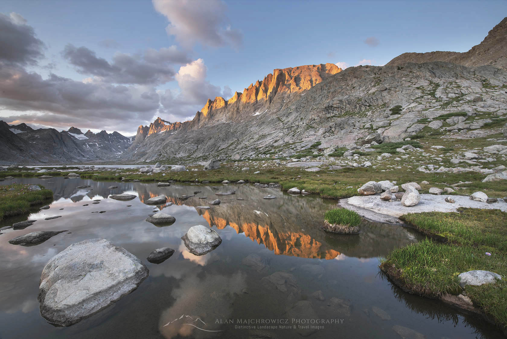
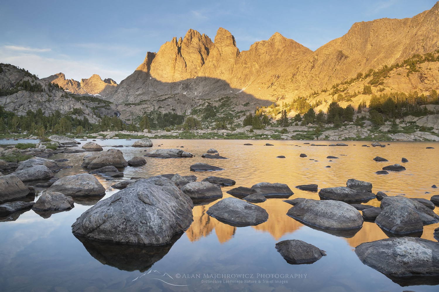
It was a bit of a surprise to see that in the entire lakes basin I saw only one other tent, and that party left a few hours after my arrival. Subsequently, I had the entire area all to myself. Little, or Lower, Bonneville Lake, in my opinion, is the most scenic of the three lakes in the basin. With small islands dotting the lake, and the spires of Mount Bonneville in the background, it is truly an impressive scene.
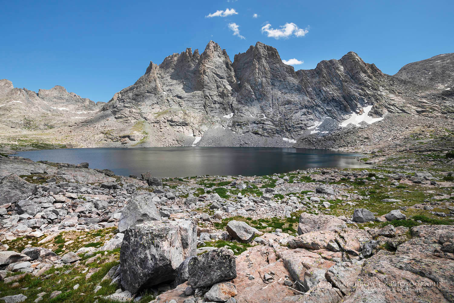 Mount Bonneville and Bonneville Lake #66296 Purchase
Reaching Bonneville Lake requires some route-finding skills. Beyond the lower lake, there is a faint trail that approaches a headwall to the right of an obvious waterfall. At that point, it fades out. I ended up backtracking a bit until I found a break in the cliffs filled with a steep boulder field. Here I scrambled up to the top where it was an easy walk to upper Bonneville Lake.
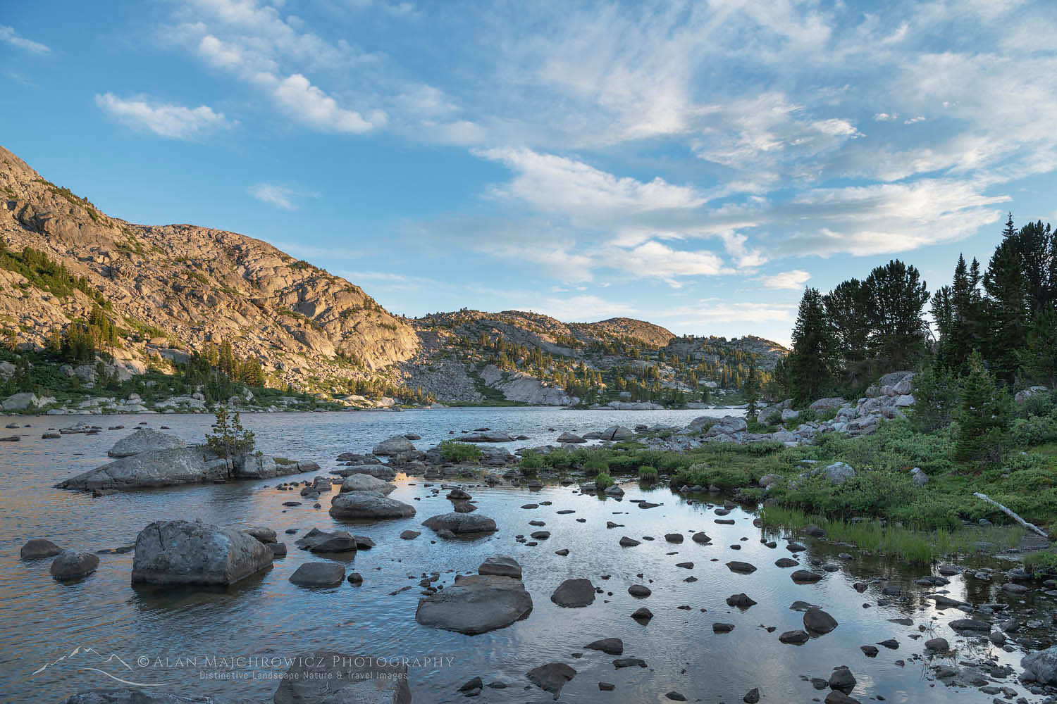 Little Bonneville Lake #66308 Purchase
Here in the true alpine, the terrain takes on a barren look. Bonneville Lake is all cliffs and boulder fields, with only a few grassy areas to add color. Although another lake, Sheila, is a short way higher up, I didn’t bother to check it out. I was too busy relaxing in the sun and enjoying the view. Making my way back down to camp was a bit trickier since I had a difficult time finding the appropriate break in the cliffs again.
 Mount Bonneville, Little Bonneville Lake #66283b Purchase
Frustrating Light and Heading Out
Back at Little Bonneville, I had one more evening and morning left for photographing Mount Bonneville. Photography-wise the trip so far was a bit frustrating. This was mainly due to a lack of good light during golden hour and a nearly constant wind whipping up the surface of the lake. Every day from mid-morning to early evening there were some promising cloud formations. But for the most part, they either dissipated too soon or were in the wrong part of the sky. The area around Mount Bonneville itself only had a few tantalizing wisps to accent any compositions during the golden hour.
Leaving the next day was a difficult decision. It was such a beautiful area with excellent photographic potential, and I had come a long way to see it. But the weather forecast before I left predicted clear skies and wind for at least a week. So it didn’t seem that staying a day or two more would yield the conditions I needed for photography. And in the end, I was right. The weather on this hike was perfect for backpacking but not the best for photography.
Retracing my route on the hike out I enjoyed a sense of accomplishment. Meeting others on the trail I passed on information about how beautiful the lakes were and inquired about other areas I would like to visit in the future. The last night was spent at Dad’s Lake, a pleasant spot with lots of fishing potential, but not many views of the big peaks.
 Fremont Trail near East North Fork Crossing #66311 Purchase
Arriving back at the trailhead the parking lot was still packed with cars and parties of hikers and climbers eager to start on their own Wind River Range adventure. I chatted it up a bit with some of them, then headed back to Pinedale for some good food. I also replenished supplies since I would soon be starting on the longest backpack of the trip. Two days later I would be on the trail to Island Lake and Titcomb Basin in the Central Wind River Range.
If You Go to Bonneville Lakes Wind River Range
Trail info:
Round Trip Distance: 40 miles
Elevation: Trailhead 9085′ Bonneville Lake 10,800′
About 6000′ gain and 2500′ loss along the length of the trail.
Difficulty: Moderate hiking but strenuous due to length and elevation changes
Red Tape: As of 2019, no permits are needed
The Big Sandy Trailhead is located 57 miles south of Pinedale. About 27 miles of it is on dusty gravel roads, with the last 10 miles being rough and narrow. There is lots of traffic, and on the last segment, you must remain alert on curves for oncoming cars, and especially for horse trailers. There are excellent campsites in the last few miles before the trailhead. I took advantage of them so as to organize my gear and also to get a parking spot and early start the next morning.
Make sure you take along plenty of insect repellant. The Winds are especially notorious for their ravenous hordes of mosquitoes and flies. Although they weren’t too bad during my trip in mid-August. Also, be prepared for dramatic weather changes. I had beautiful warm sunshine, but due to the elevation, the wind was very cold. Consequently, I was hot on one side and chilled on the other.
The town of Pinedale makes a great base for multiple trips into the Winds. It has everything you’ll need, from good food and lodging to one of my favorite outdoor recreation stores, the Great Outdoor Shop. It’s stocked with everything needed for a successful trip, including a very knowledgeable and friendly staff. Don’t visit Pinedale without dropping in! Right next door to the great Outdoor Shop is the best place to go for a post-trip meal, the Wind River Brewing Company. They have excellent burgers and great brews!
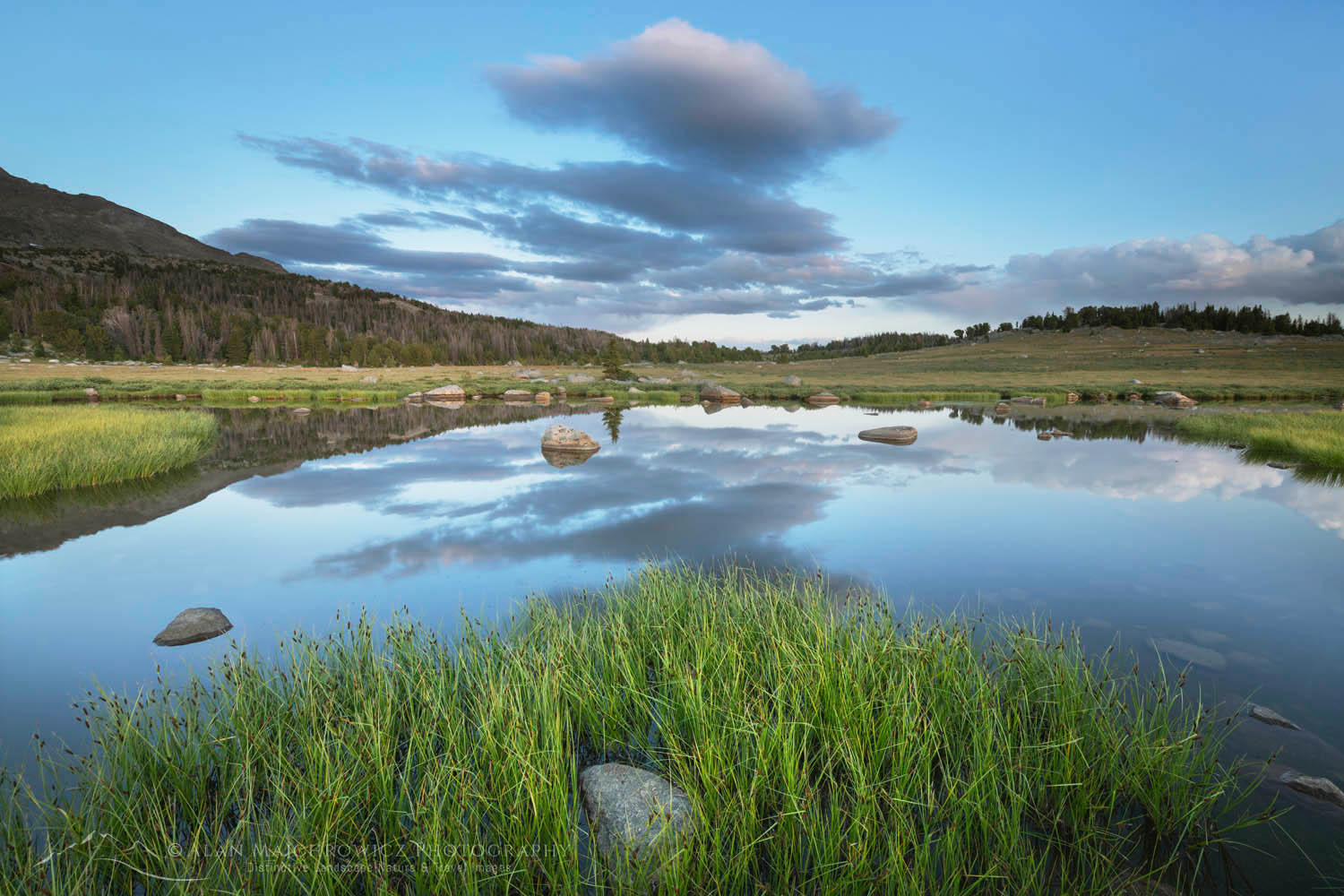 Unnamed lake along the Fremont Trail benchland #66262 Purchase
And now for a short lecture. As I’ve been saying in previous posts, don’t even think about visiting this or any other wilderness area unless you are prepared to strictly follow the guidelines of Leave No Trace (LNT). The Wind River Range and all other wilderness areas throughout the world are under incredible pressure from growing amounts of visitors. Please do your part to help preserve these precious areas for future generations!
To learn more about the principles and practicing LNT please take a few minutes to visit the Leave No Trace Center for Outdoor Ethics. Your children and grandchildren will thank you!
Seven Leave No Trace Principles
- Plan ahead and prepare.
- Travel and camp on durable surfaces.
- Dispose of waste properly.
- Leave what you find.
- Minimize campfire impacts (be careful with fire).
- Respect wildlife.
- Be considerate of other visitors.
Photo Gear Used On This Trip
Nikon D850
Nikkor Lens:
14-24mm 2.8G ED
24-70mm 2.8E ED
70-200mm 2.8E FL ED
Gitzo 1532 Tripod
Really Right Stuff B-55 Ball Head
Assorted Lee Graduated Neutral Density Filters
B+H Polarizing Filter
Vello FWM-N2 Remote Shutter Release
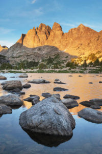 Mount Bonneville Bridger Wilderness #66270 #Purchase
If you enjoyed reading Bonneville Lakes Wind River Range please share it with your friends and family.
And check out these other Wind River posts!
Cirque of the Towers Wind River Range
Island Lake Wind River Range
Titcomb Basin Wind River Range
Indian Basin Wind River Range
Green River Lakes Wind River Range
Central Wind River Range Backpacking
Pyramid and Shadow Lakes Wind River Range
All photos appearing in Bonneville Lakes Wind River Range are available for Commercial Licensing and Fine Art Prints. Click on any image to purchase, or contact me for more info!
Bonneville Lakes Wind River Range


