Lady Washington and Mount Baker, Semiahmoo Bay, Washington.

Lady Washington

Lady Washington at sail in Semiahmoo Bay, Washington.Lady Washington Semiahmoo Bay  #62496  Purchase

A few weeks ago I had the opportunity to take an evening cruise on an authentic tall ship. The Lady Washington and her companion, the Hawaiian Chieftain, were spending the weekend in Blaine Harbor. Both of these ships are owned by the Grays Harbor Historical Society, in Aberdeen Washington. Throughout most of the year they cruise to ports in Washington and Oregon, and down to California in the fall. When both are in a port at the same time they offer an afternoon mock battle cruise and then an evening sunset cruise.

The Lady Washington is a replica of the original eighteenth century ship. She was the first American vessel to make landfall on the west coast of North America. Her smaller companion, the Hawaiian Chieftain, was built in 1988 for cargo trade in the Hawaiian Islands. Fans of the Pirates of the Carribean movies may recognize the Lady Washington as the ship featured in The Curse of the Black Pearl.

Lady Washington and Mount Baker, Semiahmoo Bay, Washington.Lady Washington and Mount Baker  #62509  Purchase

Sailing in Semiahmmo Bay

I’m a great fan of historical sailing ships. During my youth one of my hobbies was building scale models of various eighteenth and nineteenth century ships. Back then I could rattle off the names and function of all the sails and rigging. So I took advantage of their visit to Blaine Harbor and bought a ticket for the evening sunset cruise. Of course my other motivation was to make some photos of the ships at sail in the evening light.

Most folks on the evening cruise that day chose to sail on the Lady Washington. That was also my first choice since it is the bigger and more dramatic looking of the two. However, since I was out to make some photos, I chose the Hawaiian Chieftain. That way I could photograph the Lady Washington at sail. My choice in vessels was perfect, as we set out to sail the Lady Washington was out in front with a beautiful golden sky as a backdrop. Even the crew took time to grab their cameras!

Lady Washington at sail in Semiahmoo Bay, WashingtonLady Washington at sail in Semiahmoo Bay  #62537  Purchase

The cruise went on for about three hours out in Semiahmoo Bay, and I was able to make many photos in the changing light. Some of the most notable were of the Lady Washington with Mount Baker as a backdrop. However, the only disappointment was the lack of wind. There was only an occasional slight breeze to fill the sails and push us on at 1.5 knots per hour.

If you would like to know more about the ships and their schedule please check out the Grays Harbor Historical Society website. I hope you enjoy these photos, I’ll definitely be adding more the next time these ships are in port!

Hawaiian Chieftain masts rigging and sails.Hawaiian Chieftain Sails and Rigging  #62582   Purchase

Hawaiian Chieftain Square Topsail KetchSailing on the Hawaiian Chieftain   #62515  Purchase

Lady Washington at sail in Semiahmoo Bay, Washington. A historic replica of the original 18th Century brig. Owned and operated by the Grays Harbor Historical Seaport, Aberdeen, Washington. 3 pound gun swivel mounted gun on the Hawaiian Chieftain is in the foreground.Lady Washington at sail in Semiahmoo Bay  #62523  Purchase

Ferry crossing Admiralty Inlet, Washington

Fort Casey State Park

Ferry crossing Admiralty Inlet, WashingtonFort Casey State Park  #62178b  Purchase

Back in late April I made a brief visit to Fort Casey State Park located on Whidbey Island. Years ago, when we lived on South Whidbey I would make regular trips to this scenic and historic park. Later we would bring relatives there when visiting from back east. But although I’ve always wanted to spend some time photographing the park it never seemed to fit into the schedule. That is until this April, when I planned an Olympic Park coast trip. Coming down from Bellingham I stopped for the day at Fort Casey before taking the Keystone Port Townsend Ferry, adjacent to the park, the next morning.

Fort Casey State Park is an attractive destination for several reasons. First, it sites on the west side of Whidbey Island with a commanding view of the Olympic Mountains, the Strait of Juan De Fuca, and Admiralty Inlet. One could spend a day sitting on the bluff just watching ships sail by. With the right timing you can even witness an aircraft carrier from the Home Port in Everett sail by. With exceptional luck and a good set of binoculars it’s possible to even see a Trident submarine.

10 inch gun, Fort Casey State ParkFort Casey State Park Battery Worth 10″ Disappearing Gun  #62165   Purchase

Fort Casey State Park, part of the Triangle of Fire

Aside from the views and ships the next biggest attraction of the park is the fort itself. Fort Casey if one of the three coastal forts forming the “Triangle of Fire”. Built around 1890 the forts guarded against invaders attempting to make their way into Puget Sound. At the time the forts were armed with a variety of artillery including state of the art 10 inch guns mounted on disappearing carriages. However, these guns became obsolete in less than twenty years. Most were sold for scrap or placed in forts in the Philippines, but two were eventually brought back years later as historic display pieces.

Fort Casey State Park, WashingtonFort Casey State Park Batteries and Bunkers  #62170   Purchase

Fort Casey State Park, battery bunkers.Fort Casey State Park Bunkers  #62105   Purchase

A visit to Fort Casey wouldn’t be complete without checking out the guns and the concrete bunkers of the batteries. These bunkers are a hands down favorite for families and their children. On a busy summer weekend kids will be running in and out of the bunkers, having a blast playing hide and seek.  If all of the above isn’t enough, there is also Admiralty Head Lighthouse to explore. Plus long stretches of driftwood strewn cobblestone beaches, camping and picnic areas.

Admiralty Head Lighthouse, WashingtonAdmiralty Head Lighthouse  #62218   Purchase

The kid in me loves all of this, but on this trip I also wanted to enjoy making long overdue photos. Fortunately on this visit the weather was beautiful and I had some nice evening light to work with. The park can offer a pleasant afternoon of fun, but I recommend staying a night or two. That way you can enjoy the sunset, and maybe take the Ferry over to Port Townsend the next day. Don’t forget your State Parks Discovery Pass, and to make reservations in advance for camping or for driving on the Ferry. Have fun!

Fort Casey Officers residence, Whidbey Island WashingtonOfficers Residence Fort Casey  #62141  Purchase

10 inch gun, Fort Casey State ParkFort Casey State Park Battery Worth 10″ Disappearing Gun  #62087   Purchase

Forty Casey State Park WashingtonFort Casey State Park Battery Turman  #62083  Purchase

Skagit Valley Daffodil Fields, Washington

Skagit Valley Daffodil Photography

Skagit Valley Daffodil Fields, WashingtonSkagit Valley Daffodils #61987b  Purchase

One of my spring rituals is to make a trip down to the Skagit Valley to photograph the Daffodil and tulip fields. After months of grey rainy weather it’s always a treat to see such bursts of color. From the end of March though the first week or so of April daffodils are the star attraction. Depending on the weather, tulips begin to bloom around the second week of April. Of course the fields also make great subjects for photography. Since the fields change location every year it’s worth scouting out in advance where the best compositions may be.

Skagit Valley Daffodil Fields, WashingtonSkagit Valley Daffodils #61960b  Purchase

Photographing daffodils can be more difficult than photographing tulips. Mostly this is due to the fact that daffodils bloom earlier in the season. In late March the weather is still winter-like with rain and cold winds. Daffodil blossoms stand higher and on thinner stalks than tulips, so they move easily in the slightest of breezes. Meaning if you’re lucky enough to have good light you may be hampered by windy conditions.

If there is a breeze present you may need to resort to techniques such as focus stacking to achieve the necessary depth of field while using a faster shutter speed. Photographing in lower light conditions will only compound these issues. Of course it should go without saying that a good tripod is a necessity here. Another very helpful item I’m never without is a remote to trip the shutter while the mirror is locked up.

Photographers know that it pays to get up before dawn in order to take advantage of blue hour and sunrise light. Here in the Skagit Valley, another good reason to arrive early is to beat the crowds. On a sunny weekend the roads will be gridlocked like Seattle on a Friday afternoon. At the height of the bloom it may seem like everyone on the entire West Coast is here to get a photo of their loved ones in the tulip fields! So go early, and preferably on a weekday.

Other Skagit Valley Daffodil Photography Subjects

Aside from photographing Skagit Valley daffodil fields and tulips, the lower Skagit Valley also boasts some other worthwhile attractions. Foremost among these are the snow geese and trumpeter swans. Every winter through early spring these beautiful white birds come to the fields to rest and feed before resuming their long journey north. They move among the fields every day, so it can be a challenge to photograph them in the best location. If you plan on photographing these birds please refrain from alarming them. While it’s a magnificent sight to see an entire flock in flight, it also cause undo stress on them.

Snow Geese Skagit Valley WashingtonSkagit Valley Snow Geese #59742  Purchase

Finally, visit to the Skagit Valley wouldn’t be complete without stopping by LaConner, a self-described artist enclave and boater’s paradise. Aside from browsing the quaint shops and having a bite to eat, photographers can come away with some great travel photos from this picturesque town. Hint, photograph the red bridge and sailboats in evening light!

Skagit Valley Daffodil Fields, WashingtonSkagit Valley Daffodils #61982b  Purchase

Warner Lakes Wetlands, Oregon

Oregon Desert Photography

Oregon Desert Photography 

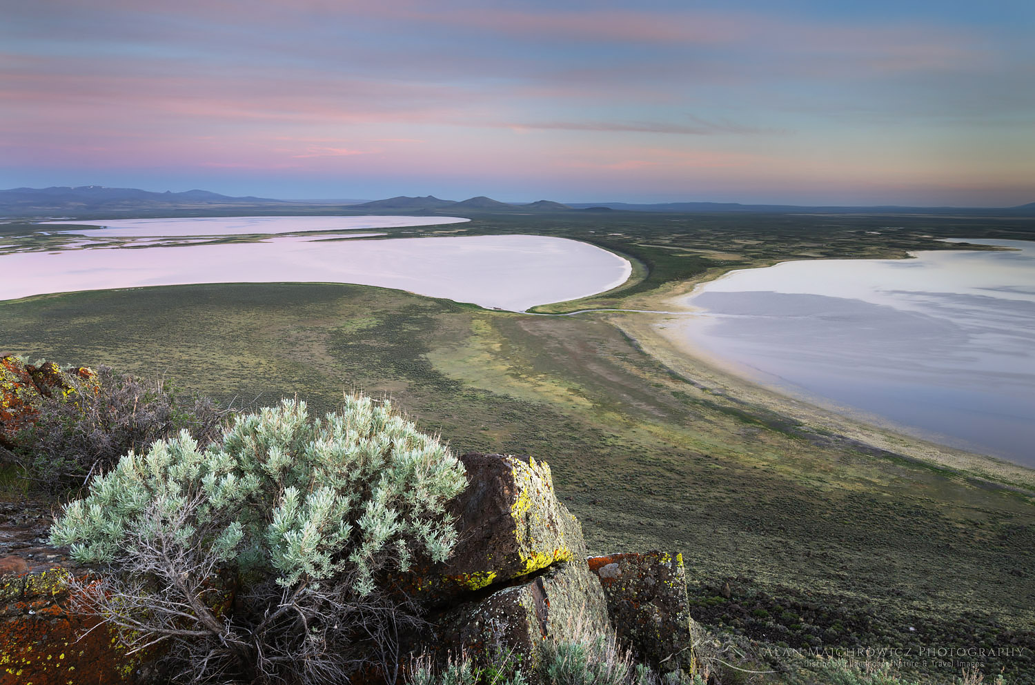
Warner Lakes Wetlands, OregonWarner Lakes Wetlands, Oregon #60942  Purchase

Oregon Natural Desert Association is a grassroots organization that promotes awareness and protection of the unique environments of the Oregon Desert. Several years ago I was approached by Jim Davis, one of the founders of ONDA, to contribute photos for their yearly promotional calendar. Until then I wasn’t even aware of ONDA, but I quickly jumped at the chance to have my photography help with their conservation efforts. Being a lifelong landscape and nature photographer I always look for opportunities to give something back to the environment, and also help others appreciate the natural world we live in.

So when ONDA asked if I was interested in sharing some desert photography tips for their blog I didn’t hesitate to join in. The post has numerous tips from a variety of photographers who have contributed to the ONDA calendar. Many tips can apply to all landscape and nature photography subjects, but some are specific to desert environments.

You can check out the article here: How to Take Better Images of Oregon’s High Desert 

Below are a few more tips I’d like to share.

Oregon Desert Photography Tip: Lighting

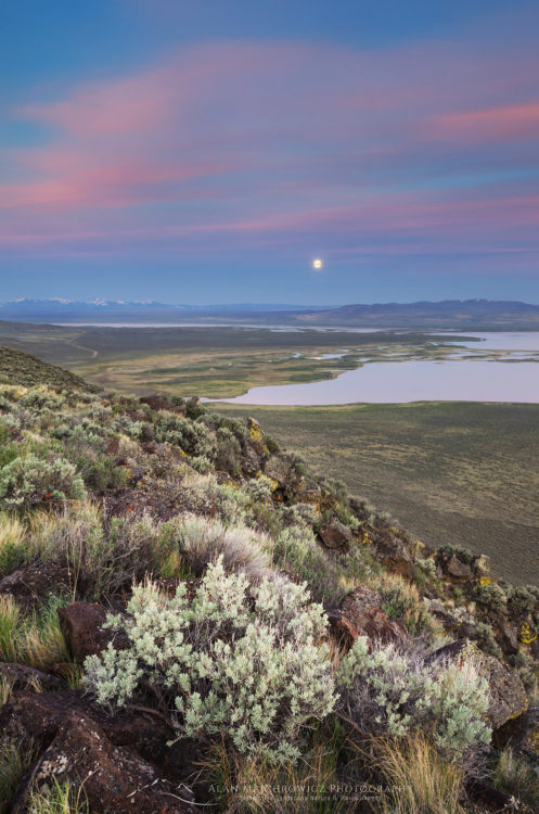
Full moon, Warner Lakes Wetlands, OregonFull moon over Warner Lakes Wetlands, Oregon #60939   Purchase

The two photos above illustrate two important tips for landscape photography. The first is, to make sure to scout out locations with potential for good compositions in advance. That way you’ll know just where to go when the light gets good later on. Here at Hart Mountain National Antelope Refuge, I wanted to find a good spot to take some photographs of Warner Lakes. While spending the afternoon hiking the slopes of Hart Mountain, I looked an elevated view along with a foreground that included some features native to the area. Here I included ubiquitous sagebrush and basalt boulders.

Secondly, photograph in the best light. There are many types of lighting conditions to work with and not all are suitable for every subject. I already photographed both of the above images the previous evening. However, clouds had diminished the quality of light. The next morning I awoke early, ready to work in the soft saturated light present during the Blue Hour. Many photographers pack it in as soon as the sun goes down, but it’s worthwhile to keep working. The hour following sunset can offer a soft colorful glow with low contrast. Not all Blue Hour light is equal though. Wispy high clouds directly above can reflect warm light down on your subject. However, those same clouds can cancel out any color if they are situated on and below the horizon where the sun sets or rises.

Oregon Desert Photography Tip: Be Patient

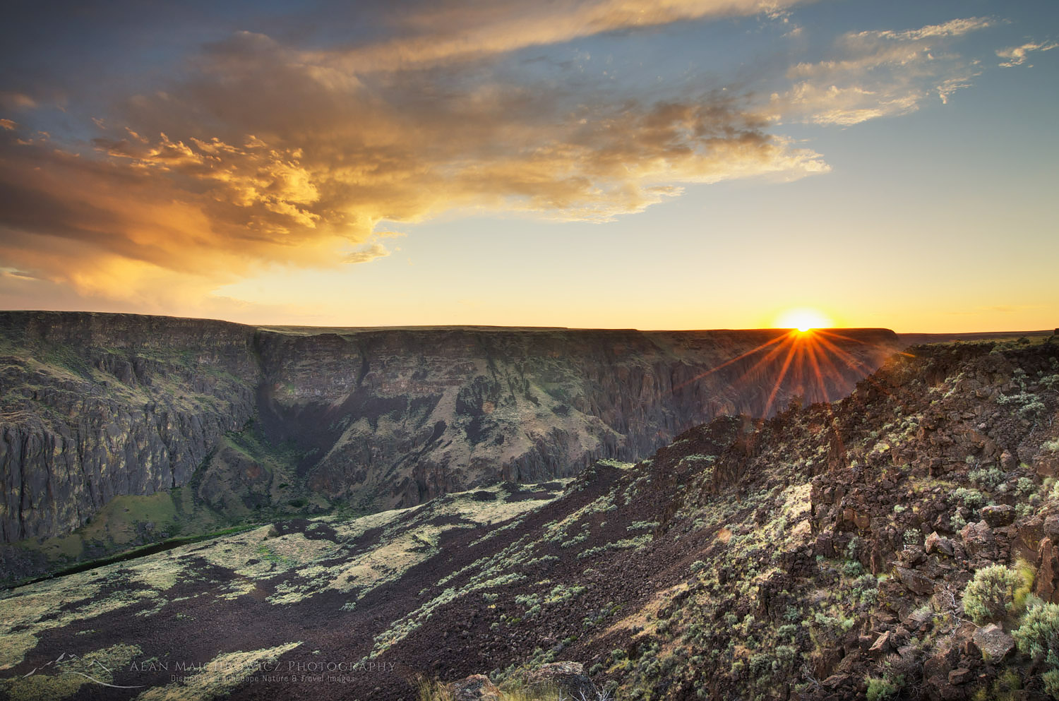
Owyhee River Canyon Sunset OregonSunset over Owyhee Canton, Oregon  #56352  

The photos above and below illustrate another important tip, be patient. Watch the weather, and wait it out until the light is gone. In both photos I experienced good light at the last minute. The weather had been dismal and grey for the entire day, and it didn’t look good for evening light. Both locations were very remote, especially Owyhee Canyon. Meaning there was no cell signal, so I couldn’t check weather forecasts. With nowhere else to go it just made sense to wait and see what happened, in these instances I was lucky.

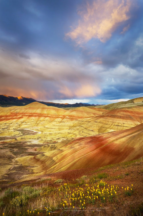
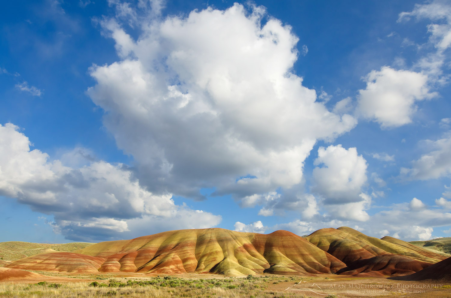
When photographing the immensely popular Painted Hills, I was the only photographer who stayed. Everyone else gave up on the light and left. I also had my doubts until a tiny clearing in the clouds opened up on the horizon. Fortunately, this clearing was where the sun would be setting. When the sun poked through this clearing I had less than five minutes of good light to work with, but it was enough.

Painted Hills OregonPainted Hills, Oregon #44747   Purchase

Oregon Desert Photography Tip: Midday Light Creativity

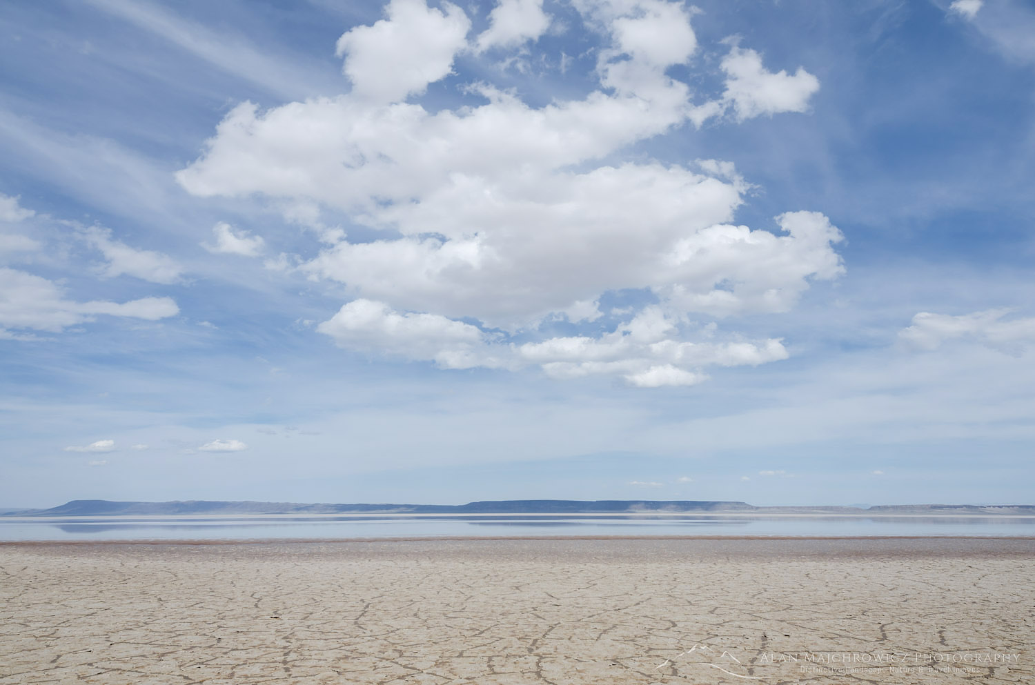
Another tip, and one that many photographers scoff at, is don’t neglect midday light. While not as common, taking good photos during the middle part of the day is possible. Interesting cloud formations or approaching storms can add an often-overlooked dimension to a landscape. Also, this is a good time to get a bit creative. Experiment with minimalism, low saturation, or black and white. The image below of Alvord Lake may not have the dramatic qualities to make it on the cover of Landscape or Outdoor Photographer or garner thousands of likes on Instagram or 500PX. However, it does illustrate the barren aspect of the Alvord Desert.

Painted Hills OregonPainted Hills Oregon  #44704   Purchase

Alvord Lake OregonClouds over Alvord Lake, Oregon  #60973  Purchase

Oregon Desert Photography Tip: Enjoy Your Surroundings!

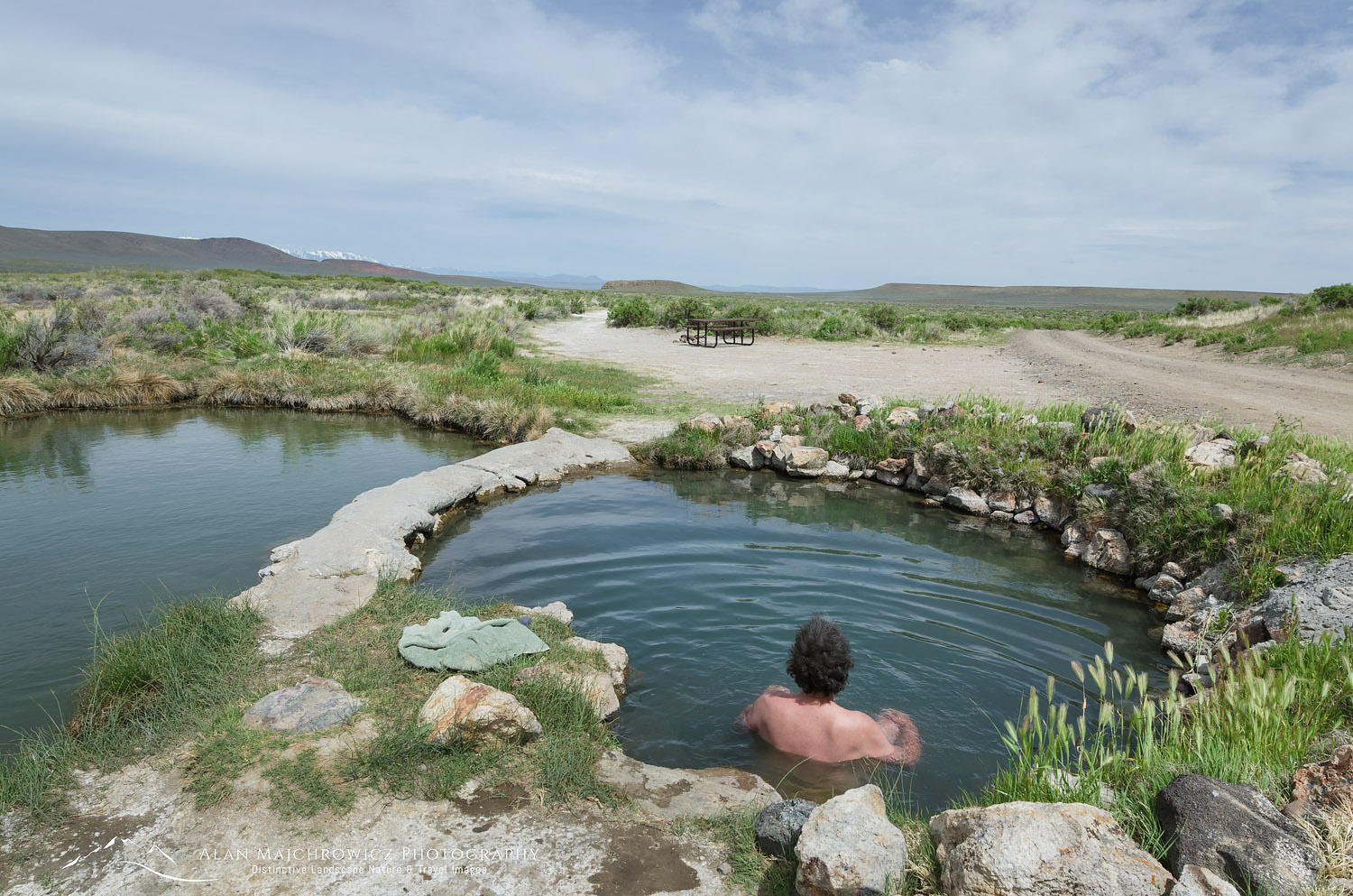
If you’re photographing in the Oregon Desert, and especially the southeast corner, check out the many hot springs. After a job well done there’s nothing like a soak in a natural hot spring. Just sit back and enjoy the view!

Willow Creek Hot Springs Willow Creek Hot Spring, Oregon  #61026

Oregon Desert Photography


Alan Crowe Photography

New Website Alan Crowe Photography

New Website Alan Crowe Photography

Alan Crowe Photography


I’m excited to announce that I just launched a new website. With the title Alan Crowe Photography, this new website is dedicated to selling fine art prints.  I believe you will find this site simple, clean, functional, and easy to navigate, with a high degree of usability. I also hope you will find many images that will inspire you to place my photography in your home or office!

To clarify, Alan Crowe and Alan Majchrowicz are the same person.  Alan Crowe is a somewhat distilled version of my name. I just removed the first and last syllables and added an e to the middle syllable. In case you are wondering, Majchrowicz is pronounced muh-CROW–vitch.

New Features

Since this new site focuses solely on fine art prints I want to make a clear distinction between the two. My other website still exists under the same name and will continue to offer photography for commercial stock licensing, along with fine art prints.

On this new website there are several features which aim to improve the user experience. First is a more streamlined method of purchasing prints. All photos are no more than a click away from purchasing. There is now a Lightbox feature where you can add photos selected for later review and purchase. A new page called In-Situ helps you envision what my images look like in several different interior scenarios. Another new features is the FAQ page. Here you can find on one page answers to common questions, such as shipping and print materials. Bringing the site together is a clean uncluttered look with photos organized into galleries with distinct categories.

Take a few minutes to browse through my new website, and feel free to contact me if you see anything that isn’t functioning properly or needs correction.

John Day River Oregon

Photo Highlights 2017

Photo Highlights 2017

We say it every December, yet another year has flown by! It seems it was only yesterday I was writing on this blog about my favorite images of 2016. As with every passing year, we can look back and revel in our accomplishments and learn valuable lessons from our disappointments. Hopefully, we all had more of the former!

This year, I was once again very fortunate to be able to travel to and photograph some great new locations. I was also thrilled to make a long-awaited backpacking pilgrimage to one of my favorite spots in the North Cascades. Throughout my journeys, I met some great people who shared my love for the natural world.  This past year also brought with it some valuable new clients and business opportunities. Building on these successes, I hope to make 2018 an even better year!

So without further ado, let’s see some of the photo highlights of 2017.

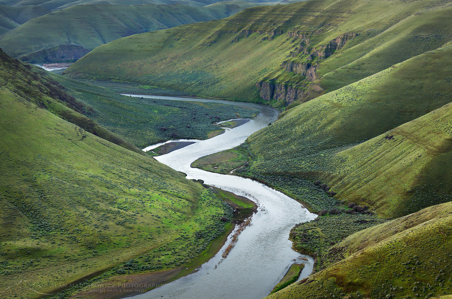
John Day River

John Day River OregonJohn Day River, Oregon  #59904   Purchase

This image of the John Day River was made during an extended spring photo tour. One of the first stops on this trip was Cottonwood Canyon State Park in north central Oregon. Designated as a wild and scenic river, the John Day snakes its way through steep-walled valleys of the Columbia Plateau. One of the few viewpoints down to the river is above Cottonwood Canyon. I  made this photo shortly before sunrise after car-camping on a muddy backroad near the rim. The green slopes can be misleading. This is a very dry region, with brown as the dominant color for most of the year.

Lichens

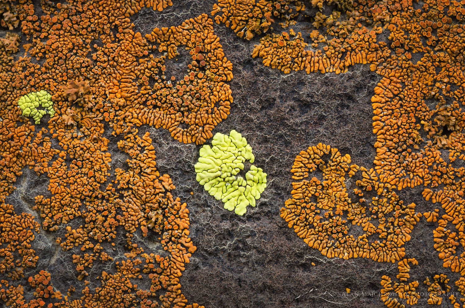
Lichens on basaltColorful Lichens on Basalt  #59871  Purchase

Down in Cottonwood Canyon, colorful lichens paint exposed cliffs of Columbia Plateau basalt. Seen across the river at the campground, I made it a point to check out this display. The lichen colonies are impressive enough from a distance, but a close inspection reveals another world. I spent a good part of the morning exploring the cliffs with my macro lens. Getting in close, you can find an infinite range of details and abstract patterns. Some are reminiscent of fractal patterns.

Hood River Valley

Hood River Valley Orchards, OregonHood River Valley Orchards, Oregon  #60108  Purchase

After photographing in Cottonwood Canyon, I returned to the Hood River Valley. I was hoping to photograph the orchards in bloom. However, a cold, lingering winter delayed the bloom by a few weeks. On my return, only a few of the orchards offered a good display. Arriving at sunrise, throngs of other photographers were already setting up. When it became apparent there would be no dramatic clouds or light, they all left. I lingered on for a few hours, slowly scouting out some compositions. The above composition, and a few others, helped make the most of a blue sky.

Mount Shasta

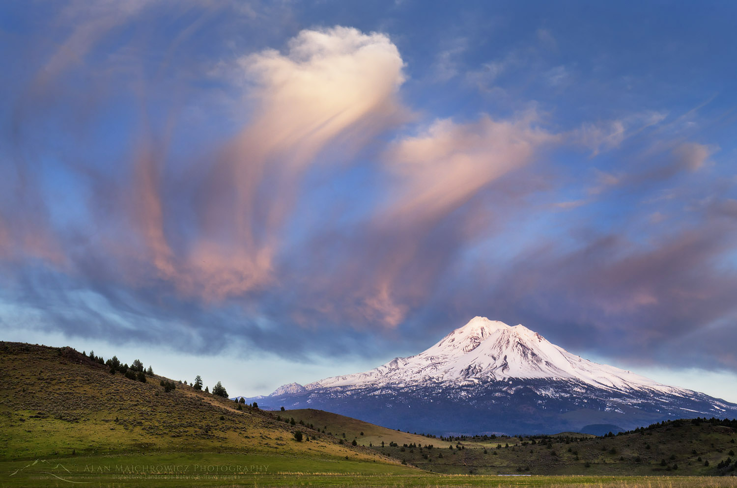
Mount ShastaMount Shasta  #60134  Purchase

Further south the same trip I was able to make this image of Mount Shasta just as I arrived in the area. Driving madly down a gravel road, I was able to find this composition only minutes before the light faded. I spent several days exploring this area; however, this was the best light I encountered.

Point Reyes

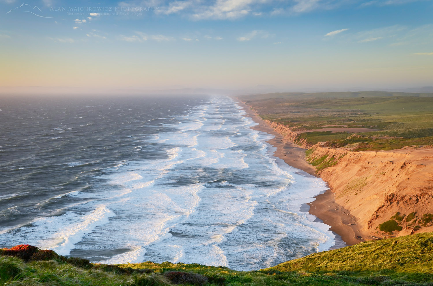
Surf, Point Reyes BeachPoint Reyes National Seashore, California  #60262  #Purchase

Point Reyes National Seashore in California is arguably the windiest place on the North American coast. On this and a previous trip, it would’ve been hard to convince me otherwise. To make this photo, I crouched down behind a small boulder to shield myself from the incessant wind. Even with the tripod inches off the ground with the legs spread wide, I still had to hold on to the camera to reduce shaking.

Redwoods

Coast Redwoods (Sequoia sempervirens)Coast Redwoods  #60743  #Purchase

The Redwood forests of Northern California are among some of the most beautiful and humbling places to visit. Pictures cannot convey the scale of these massive trees. They are also one of the most difficult subjects to photograph. Generally, the best opportunities are from the edge of a clearing. In this case, my photo was taken alongside a road. While most photos of Redwood forests utilize a wide to super wide-angle lens, I used a short telephoto for this one. Of course, the nearly constant fog and overcast work in your favor to accentuate colors and keep contrast manageable.

Gold Bluffs Beach

Gold Bluffs Beach Triptych, CaliforniaTriptych, Gold Bluffs Beach, California   Purchase

On Gold Bluffs Beach in Redwoods National Park, I enjoyed making a series of images of surf action as the fog cleared. The simple elements of dark sand, water, and sky were constantly shifting into new shapes and patterns. While several images from this session stand well alone, I feel this triptych helps further project the abstract nature of the experience.

Harris Beach

Harris Beach OregonHarris Beach, Brookings, Oregon  #60783  Purchase

The southern Oregon coast has some of the best locations for photographers. Harris Beach State Park, in Brookings, makes a great base for days or weeks of location work. This photo was made in the twilight before dawn. A long exposure gave the creek a silky feel, which adds another dimension to the curves and textures of the composition.

Liberty Bell Mountain

Liberty Bell Mountain Washington PassLiberty Bell Mountain, North Cascades, Washington  #61324

Back on my own home turf in the North Cascades, I made this photo as part of a fun weekend of hiking in the Rainy and Washington Pass vicinities. For over 30 years, I’ve visited Washington Pass and marveled at the beauty of Liberty Bell Mountain. Although I’ve photographed this scene many times in the fall or snow-covered in early spring, this was my first attempt during the height of summer. Photographic compositions here come fairly easily, with help from leading lines and curves of the meandering creek. If you decide to visit this area please tread very lightly, as the meadows are fragile and are showing signs of wear and abuse.

North Cascades National Park

Whatcom Peak North Cascades National ParkWhatcom Peak reflected in Tapto Lake, North Cascades National Park  #61497  Purchase

I made this photo last August during a six-day backpacking trip to Whatcom Pass and Tapto Lakes. It’s a magical place that, for various reasons, took me over 20 years to return to. North Cascades National Park is a rarity in the National Park System. Over 90 % of the park is designated wilderness, with only one short gravel road intruding on its borders. Most of its magnificent, rugged beauty can be seen only by hiking its many trails. Even then, some of the best views are off-trail, requiring mountaineering experience.

Whatcom Pass is an exception. You can visit this scene after hiking around 18 miles, over one pass, down into a deep valley, up another pass, and then straight up a rough climbers’ route. This trip can be made in three days by strong hikers with light packs, but I recommend a more leisurely 5-6 days. Plan a day or two of just sitting around, taking in the views. You never know when you’ll get a chance to come back!

Heather Meadows

Heather Meadows Recreation Area in winterHeather Meadows, North Cascades, Washington  #61935  Purchase

Adjacent to the Mount Baker Ski Area, Heather Meadows is just a short drive up the road from my home. It’s one of the gateways into the rugged backcountry of the North Cascades, in addition to being one of my longtime go-to places for winter photography. I made this photo after the first major snowfall of the season. Slowly making my way around on skis, I came across this composition in soft diffused light. I liked how the soft, delicate shapes in the foreground contrasted with the harder, rugged shapes in the distance.

I hope you enjoyed my Photo Highlights 2017. Please feel free to vote and comment on your favorite images! And don’t forget, all of these images are ready to purchase as fine art prints or commercial licensing. Just click on any image!

Thanks for viewing this post. I wish you and your families peace, joy, and prosperity in 2018.  I hope to see you on the road and trail in soon!

Photo Highlights 2017

Blue Rocks Nova Scotia

Bluenose Coast Nova Scotia

Blue Rocks Nova ScotiaBlue Rocks Nova Scotia  #58819   Purchase

Bluenose Coast Nova Scotia

In my last post, I left off with our departure from Cape Breton Island Nova Scotia. In this post, I’ll be talking about our visit to the Bluenose Coast of Nova Scotia. This area of Nova Scotia has been high on my photography wish list for many years. Bluenose Coast contains some of the most famous tourist attractions in the Province. Situated southwest of Halifax the area includes Peggy’s Cove, and the lovely coastal villages of Chester, Mahone Bay, Lunenburg, and Blue Rocks. How the term Bluenose originated is up for debate, some say it is a derisive term dating to political divisions of the late eighteenth century. However, others will say it refers to a bluish variety of potato or the nose color of locals in winter.

Rowboat, Blue Rocks Nova ScotiaBlue Rocks, Nova Scotia  #58804  Purchase

Our drive from Cape Breton Island down to the Bluenose Coast was again a long tiring journey. Not only was the weather rainy discouraging, but the route we took was also longer than anticipated. Instead of taking a direct course via the main highway, we decided on a more scenic drive along the coast. While I won’t say this was a mistake we did find the road to be exceedingly long with very few coastal views. Most of the way traveled through heavily forested lands dotted with tiny villages. Occasionally the roads break out on the coast with views of numerous islands. According to our travel brochures, this area northeast of Halifax is a haven for wilderness-loving sea kayakers. I’d love to be able to return and explore this vast area with a boat.

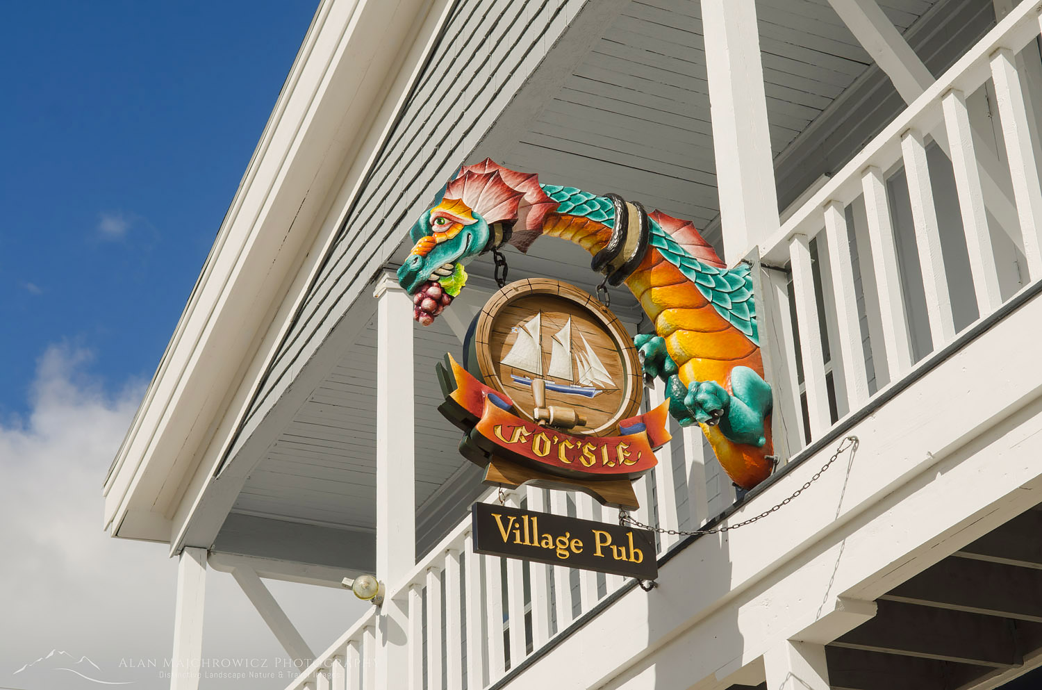
The Fo’c’sle Pub Nova ScotiaThe Fo’c’sle Pub Chester, Nova Scotia #58700 
At Chester

Between the rain and the torturous road, we decided to finish the drive to Bluenose Coast the next day. We weren’t too thrilled at the prospect of finding our way through the Halifax area at night. After anxiously getting through Halifax in the morning we decided to base our stay at Graves Island Provincial Park. Well situated near all the sites I was hoping to photograph, Graves Island also had some of the best campsites on our trip. After setting up camp we went on to check out the nearby town of Chester. Founded in 1759, Chester is a quaint village on Mahone Bay noted for stately old homes and a thriving artist community. Along with a boat-filled harbor, Chester is also home to The Fo’c’sle, Nova Scotia’s oldest pub. I couldn’t resist photographing the whimsical dragon hanging above the entrance.

After a few weeks of photographing mostly nature-oriented locations, we were finally in Coleen’s environment. Picturesque coastal towns with lots of shops to browse through were something she had been looking forward to. Although I’m mostly a wilderness nature lover I also was enjoying the change. The next day was perhaps the most memorable of the entire trip. It was a big day with lots of sites to see and photograph on the Bluenose Coast. We began it with breakfast at The Kiwi Cafe in Chester, a colorful establishment with great food, after which we proceeded to Lunenburg and Blue Rocks. Along the way, we passed by Oak Island, the site of questionable buried treasure, made famous on the History Channel’s Curse of Oak Island tv show. Needless to say, we didn’t stop by to check it out.

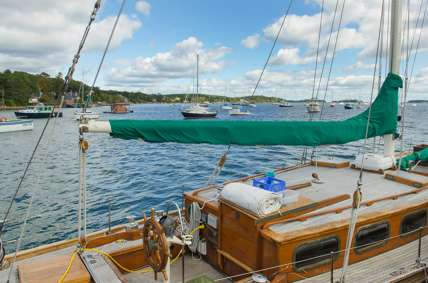
Mahone Bay Nova ScotiaMahone Bay Sailboats  #58726  Purchase

Mahone Bay & Lunenburg

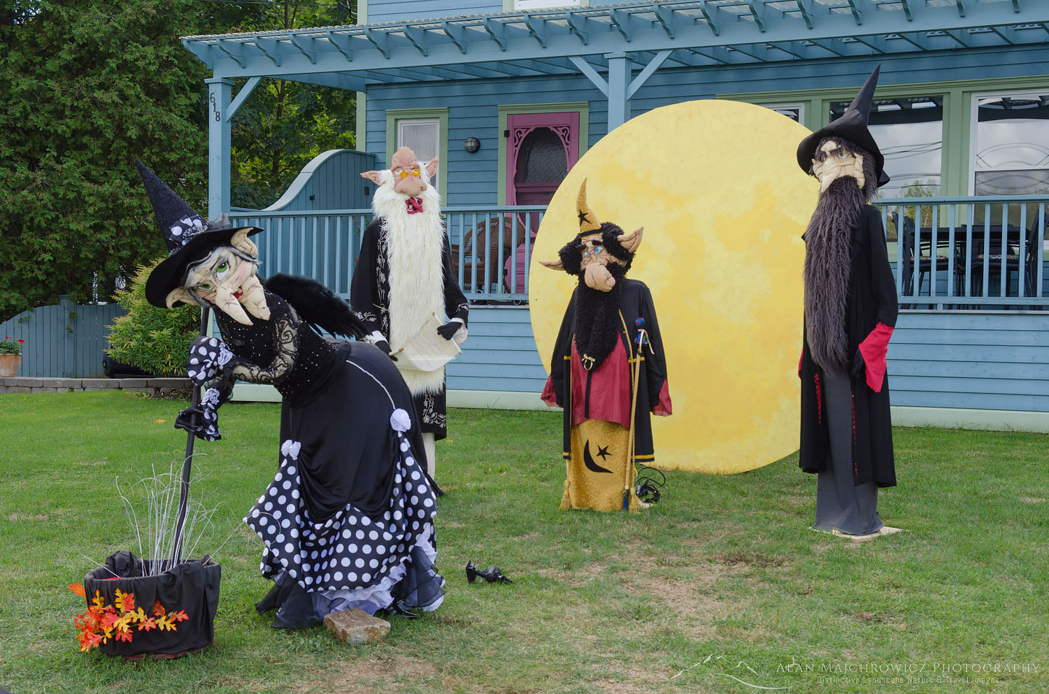
Along the way, we had to stop in the town of Mahone Bay for the annual Scarecrow Festival and antique fair. Even without the festival, the town is worth a stop. Dating back to 1754, Mahone Bay has numerous eclectic boutiques, art studios, antique shops, B&Bs, and restaurants. Of course with the festival in full swing Mahone Bay was overflowing with tourists, including us. We ended up spending several hours there checking out shops and the over 250 whimsical handmade scarecrows. But we had to move on, I was anxious to scout Lunenburg and the tiny fishing community of Blue Rocks. Aside from Peggy’s Cove these two locations are perhaps the most scenic and photographed in all of Nova Scotia.

Mahone Bay Nova ScotiaMahone Bay Scarecrows  #58715  
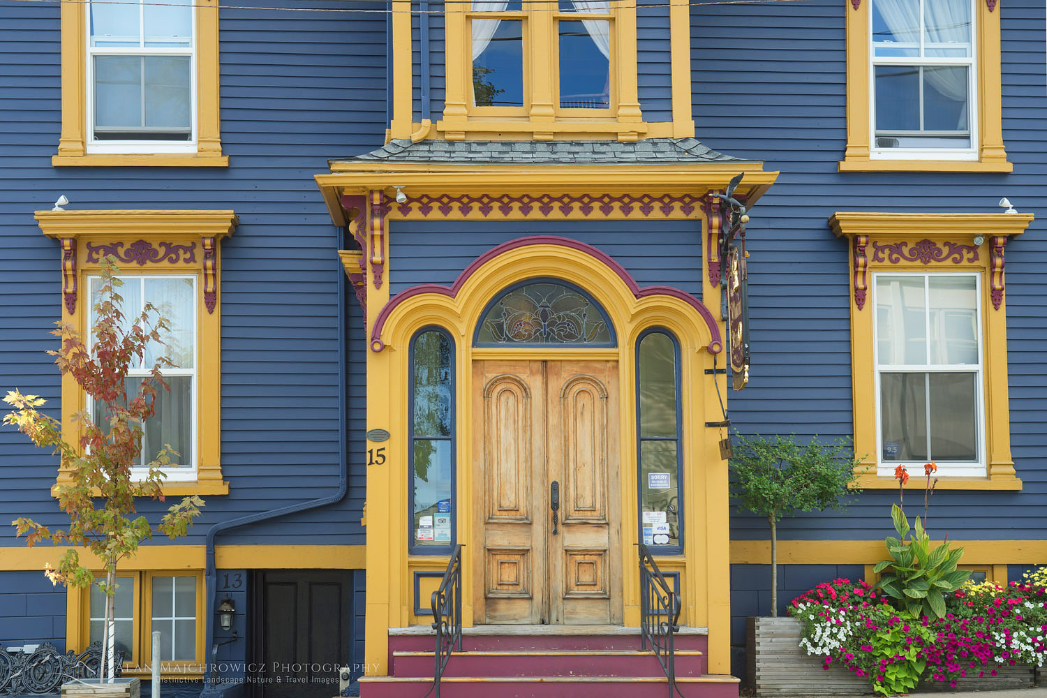
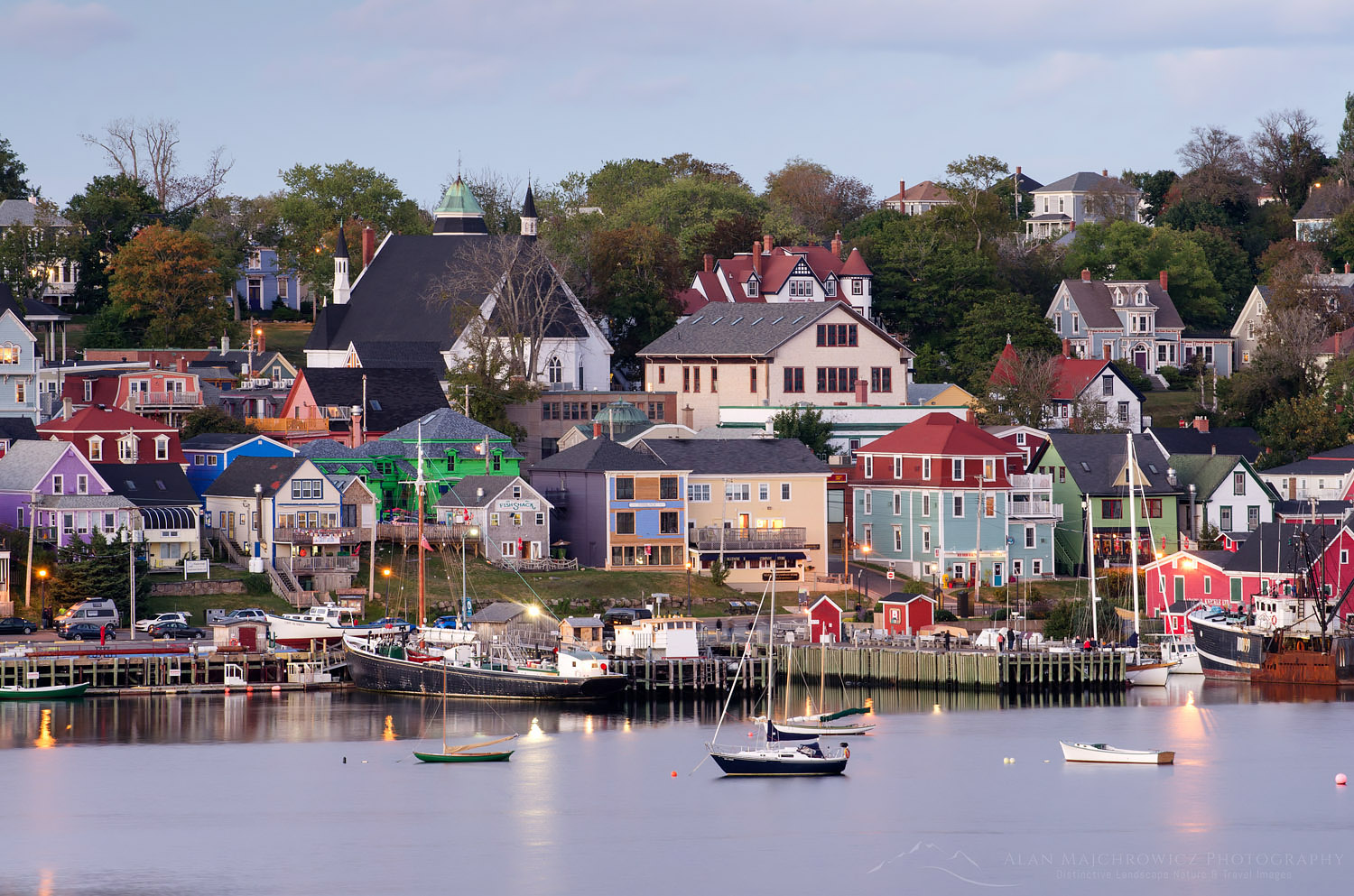
Lunenburg is yet another old historic fishing town. In my mind, it was the most interesting one we visited. The town sits on a gentle hill overlooking the bay, with many of the historic buildings sporting vibrant colors. For photographers looking to capture these colorful buildings on the waterfront, there is no better spot than a park directly across the bay. You have the option of photographing from the waterfront or up a hill on the edge of a golf course. The latter offers a wonderful elevated view of the town and boats.

Lunenburg Nova ScotiaColorful Lunenburg Architecture  #58737  Purchase

Blue Rocks Fishing Community

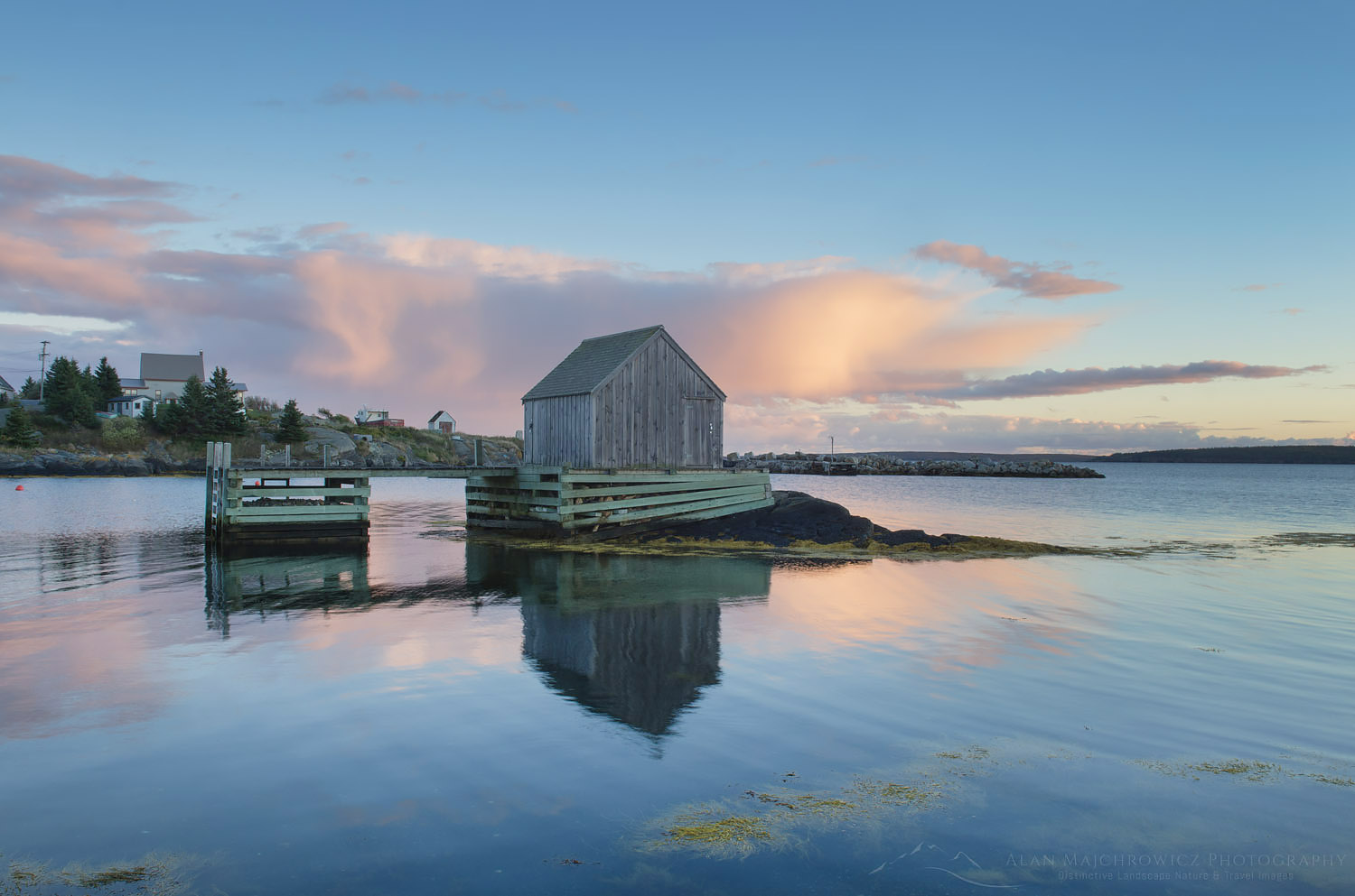
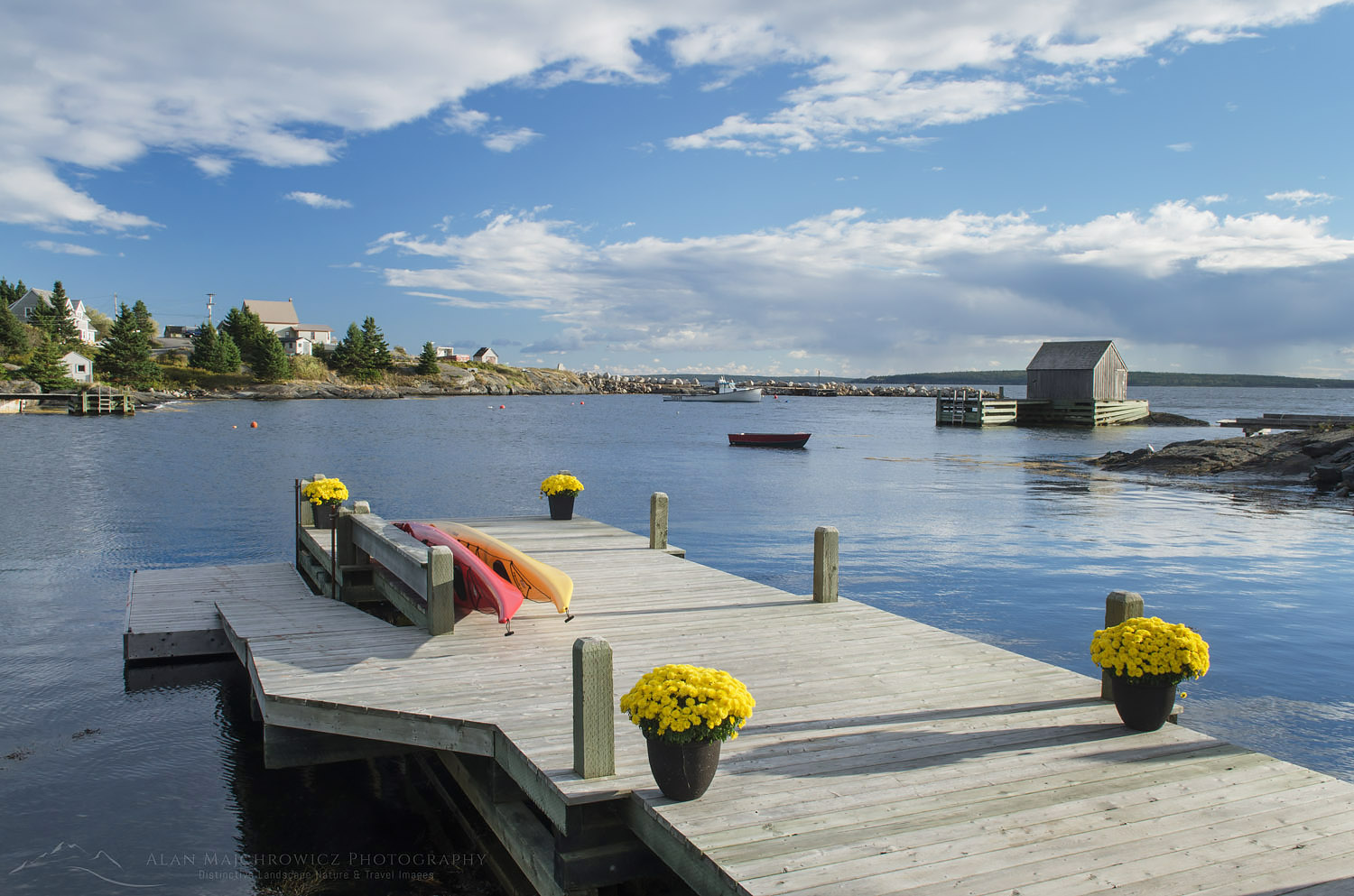
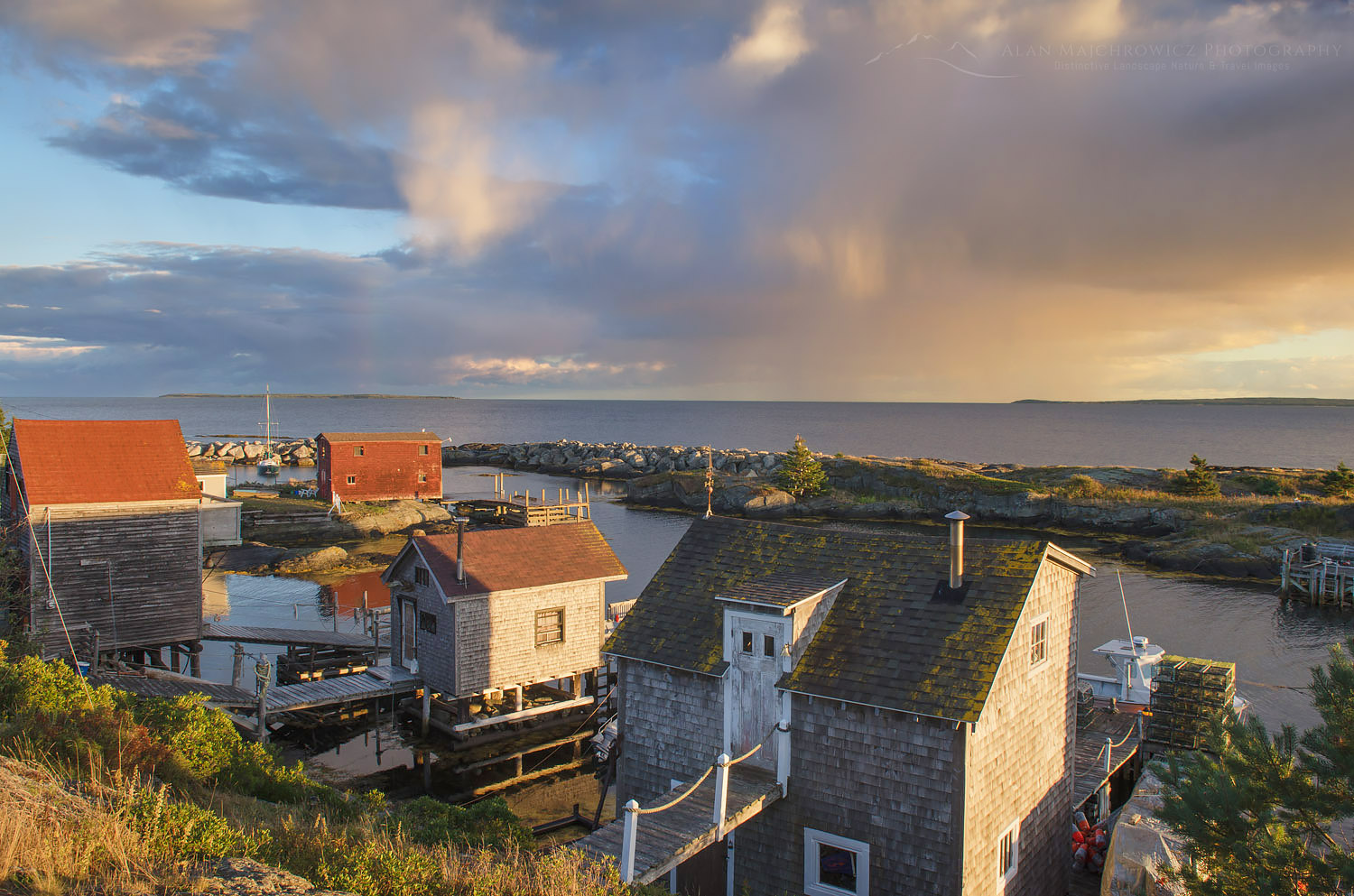
After finding these locations and making a few photos we went on to scout Blue Rocks. Being new to the area it was a bit difficult to find among the maze of roads. However, there was no mistaking it on arrival. Blue Rocks is just a small community with several fishing shacks and boats on a calm inlet. The location though is classic, old colorful fishing shacks, and boats moored alongside with islands and the Atlantic as a backdrop. And the rocks are blue, with the layers eroded into fantastic shapes. With crystal-clear water and bright yellow skirts of seaweed, the rocks boats, and buildings present a dazzling array of colors and shapes. I was bubbling over excitement at photographing this wonderful location! The only thing missing though were clouds, the sky was an empty electric blue. Perfect for picnics and leisurely drives but not for photography.

Boat dock Blue Rocks Nova ScotiaBlue Rocks, Nova Scotia  #58778  Purchase

It was still early so we went back to Lunenburg to check out the town and have a bite to eat. We found another gem at the tiny Salt Shaker Deli. I would highly recommend stopping by if you are in the area. The food was wonderful, probably the best seafood chowder in the Province, and the friendly staff and outstanding harbor view made for a memorable experience.  And if this wasn’t enough, as we were finishing our meal I noticed some interesting clouds moving in!

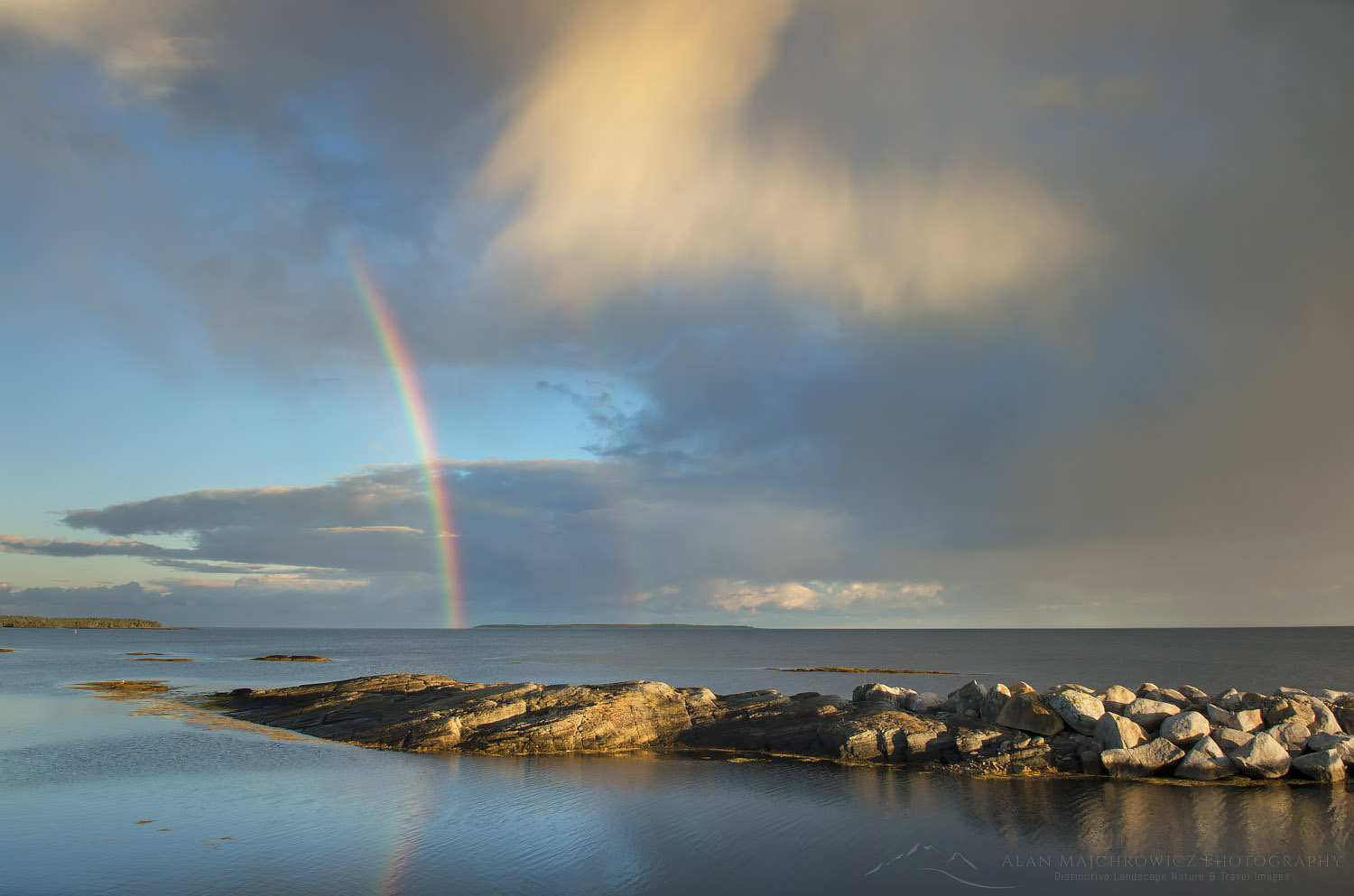
Rainbow, Nova ScotiaBlue Rocks Rainbow  #58795  Purchase

Blue Rocks Evening Photography

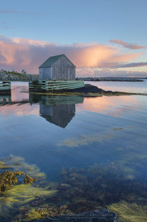
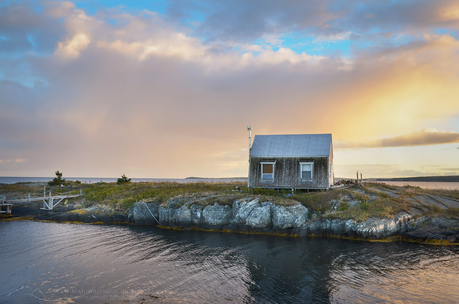
We planned to head back to Blue rocks after dinner for evening light, and then hurry back to Lunenburg to photograph the waterfront at twilight. Arriving at Blue Rocks the sky darkened and rain began to come down in sheets. A complete opposite of the earlier sunny blue sky. I was getting discouraged at my prospects when the showers began to move on. The elements for some great evening light were beginning to come together. Firstly a rainbow began to take shape, followed by curtains of rain and clouds being illuminated by the setting sun. Moving around I found many compositions among the boats and fishing shacks. As the light began to peak and fade I worked to photograph one of the most iconic shacks in the last glowing light of the evening. So far this was the best combination of light and subject matter on the trip.

Blue Rocks Nova ScotiaBlue Rocks, Nova Scotia  #58807   Purchase

Blue Rocks Nova ScotiaBlue Rocks, Nova Scotia  #58825   Purchase

Blue Rocks Nova ScotiaBlue Rocks, Nova Scotia  #58811  Purchase

We were also able to get back to the Lunenburg location in time for more photography. I quickly set up and made some photos just as the lights began to turn on in town with a purple twilight glowing above. All in all, it was a perfect autumn day, sightseeing in historic towns with Coleen, great meals, and successful photography. But there was more in store for us along the Bluenose Coast the next day at Peggy’s Cove, our final location in Nova Scotia.

Lunenburg Nova ScotiaLunenburg, Nova Scotia  #58836  Purchase

Cape Breton Highlands National Park

Cape Breton Island Nova Scotia

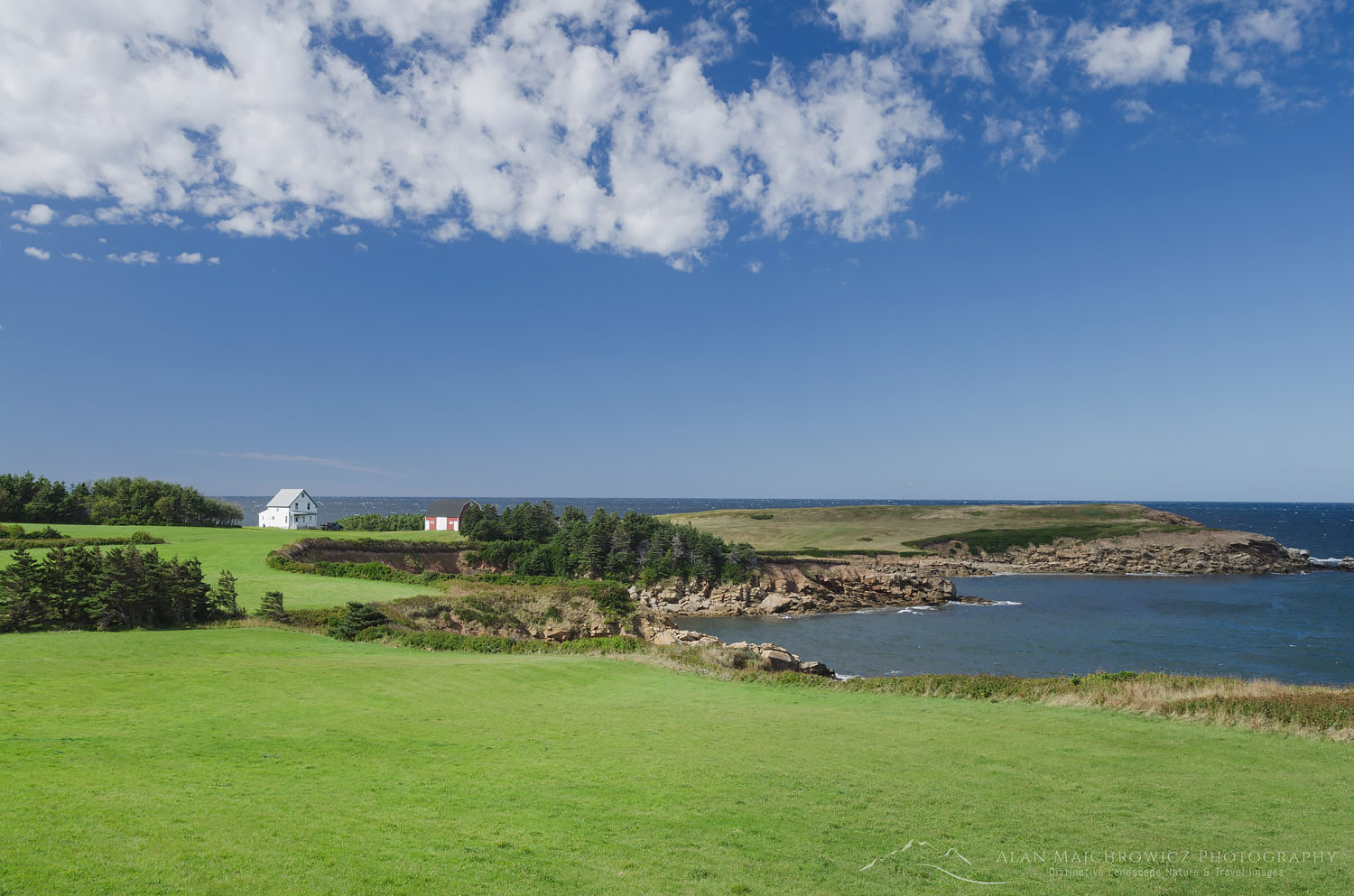
Cape Breton Island Nova ScotiaCape Breton Island seaside farm  #58624   Purchase

It’s funny how life can be so unpredictable. Some may be tempted to replace “funny” with frustrating, discouraging, exciting, or fun. Last year at this time I was on a dream trip with my wife Coleen to photograph in Nova Scotia and New England. This year I’m stuck at home in the office, working on marketing and fantasizing about future trips. So since I’m not able to get out on the road anytime soon, the next best thing is to relive last year’s trip by writing blog posts.

In my last post, I wrote about our brief visit to the Bay of Fundy in New Brunswick. In this post, I’ll be recapping our visit to Cape Breton Island Nova Scotia, one of the main highlights and destinations of the trip. As with any new location I hoped to see as much of the province as possible. We had to carefully choose only a few of the best locations to visit in our available time. After years of poring over Nova Scotia maps and images, I settled on a couple of areas. For me, Cape Breton Island and Peggy’s Cove Coastal Region were obvious choices. Cape Breton Island represented the rugged wind-swept character of Canada’s Atlantic Provinces.  While Peggy’s Cove Region highlights the historic and thriving culture of the province. There is, of course, much more to see, but these locations will make a good start.

Cape Breton Island Nova ScotiaCape Breton Island, Nova Scotia #58622   Purchase

Onwards to Cape Breton Island

After leaving New Brunswick we drove straight to our first destination, Cape Breton Highlands National Park. On the map, it looked like about a half-day drive. In reality, it took us most of the day to arrive, exhausted from driving, at Chéticamp in the park. Of course, we had to make a few stops along the way. Part of the appeal of Cape Breton Island is its Scottish heritage, most notable along the Ceilidh Trail. Picturesque Ceilidh Trail (pronounced Kay’-Lee) runs along the west coast and has its road signs written in both English and Gaelic. Along the way are quaint villages, world-class seaside golf courses, and North America’s first single malt distillery.

Further north the Ceilidh Trail gave way to the world-famous Cabot Trail. Possibly the most scenic drive in all of Atlantic Canada, the Cabot Trail encircles the entire northern section of Cape Breton Island. During our visit, we focused on the western section of the trail, from Margaree Harbour in the south to Pleasant bay in the north.

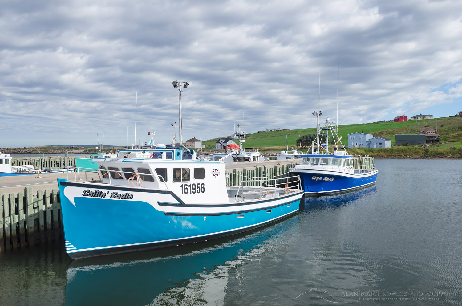
Fishing boats, Cape Breton IslandFishing Boats Grand Étang Harbour Cape Breton Island  #58583  Purchase

Cape Breton Highlands National Park

Arriving in Cape Breton Highlands National Park was exhilarating. We were just about as far north in the province as we could drive. The land had begun to take on a wilder primordial feel, even more, evident high on the Cape Breton Plateau. There were few towns, and those were very small fishing outposts. Although Cape Breton Highlands lies only at 46º north, I had the feeling of being on the southern edge of the vast expanse of Canadian subarctic lands. I imagined that if I squinted hard enough I could see Newfoundland, then Labrador, and finally Baffin Island. I should state here that for most of my life I’ve had an obsession with everything arctic. Especially the Canadian Arctic, which holds a tight grip on my imagination, partly due to its rich and often tragic history of exploration.

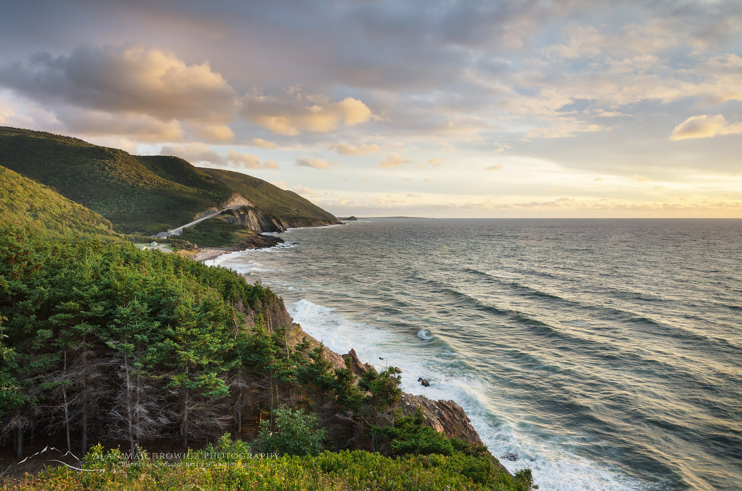
After setting up camp in Cape Breton Highlands National Park I anxiously began to scout out the coastal drive. Along the west coast, the Cabot Trail climbs high and has stupendous views of the Gulf of Saint Lawrence. At its height, you can see to the Magdalen Islands, situated nearly in the center of the Gulf. I like to think this section of the Cabot Trail is Canada’s east coast version of Big Sur in California. After winding up along the coast the road heads inland to the plateau highlands and a dramatic change of scenery.

Cape Breton Highlands National ParkCape Breton Highlands National Park, Nova Scotia #58564   Purchase

Cape Breton Highlands Plateau

Dominated by boreal forest with a distinct sub-arctic feel, the Cape Breton Plateauis a windswept wilderness of barrens, bogs, and lakes. Most people think of the Appalachian Mountains ending at Mount Katahdin in Maine. However, geologically they continue much further north. Cape Breton Plateau is an Appalachian mountain worn down by glacial activity. To reach the true end of this ancient chain of mountains you would need to travel as far as the highlands of Gros Morne National Park in Newfoundland. Since the weather was grey and forbidding on the plateau I headed back to photograph the coastal drive in the evening light.

While in the park I wanted to hike the Skyline Trail to photograph the iconic view from the top. At the end of the trail, a dramatic headlands cliff overlooks the winding road and the vast expanse of the Gulf of Saint Lawrence. This trail and view are one of the hallmarks of the park. However, my timing to get there was poor. I failed to consider the length of the hike, it would’ve been dark by the time I made it there. I was fortunate to drive to an alternate overlook just in time to make a few photos of evening light breaking through the clouds.

Cape Breton Highlands National ParkCabot Trail Cape Breton Highlands National Park, Nova Scotia #58637   Purchase

Margaree Harbour & Lobsters

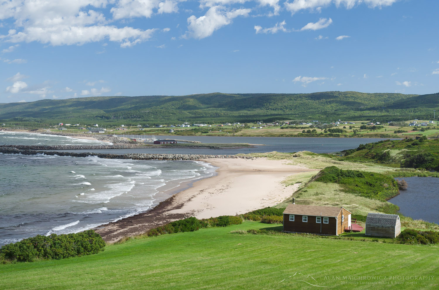
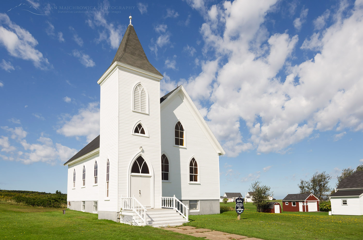
The next day Coleen and I drove south to scenic Margaree Harbour to photograph fishing boats and coastal views. I enjoyed this area, there were picturesque seaside farms, sandy beaches, churches, and colorful boats. An interesting find was Centre de la Mi-Carême, an interpretive center focusing on the Acadian celebration of Mid-Lent with masks, music, and dance. Attracting us to the center was the display of colorful effigies on display in the parking lot. Unfortunately, our visit was cut short as the center wasn’t open at the time.

Back on the lobster hunt, as we found out in New Brunswick, lobster was out of season. However, we were lucky enough to find that in Margaree Harbour the Island Sunset Lobster Pound still had some available. After chatting with the friendly owner and a patron about our travels we hurried back to camp to cook our long-anticipated crustaceans. In the warm afternoon sun, we made a glorious mess of cracked shells lobster meat, and melted butter! This was the way to do it, out in the open air by the sea, not in a stuffy restaurant.

Cape Breton Island Nova ScotiaMargaree Harbour Cape Breton Island  #58615  Purchase
Church Cape Breton IslandChurch in Margaree Harbour  #58607  Purchase

Cabot Trail Coastal Photography

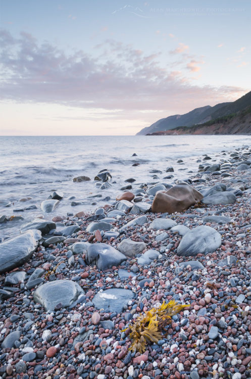
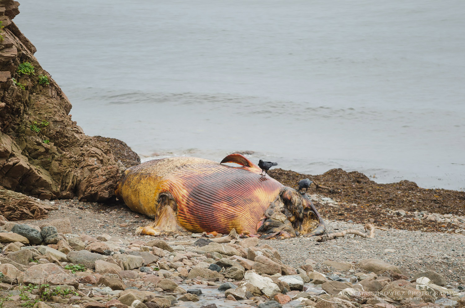
In the evening, and again the next morning, I went out to make photographs along the coast. I had some nice light for photography while in the area but it didn’t last very long. I came back with only a few new images, including one of a beached whale, headless and rotting on the beach. This is usually the situation when visiting a new location. Without prior firsthand knowledge of a location, it’s difficult to be in the right place at the right time. In my experience, I might get lucky a few times on an initial trip. But it normally takes several return visits to understand its character. There are some spots from which I still have not created a defining image, although I’ve been there many times and know it intimately.

Cape Breton Highlands National ParkCape Breton Highlands National Park  #58560  Purchase

Dead Whale Cape Breton Island Nova ScotiaWhale carcass, Cape Breton Island  #58647   Purchase

Over to the Atlantic Side

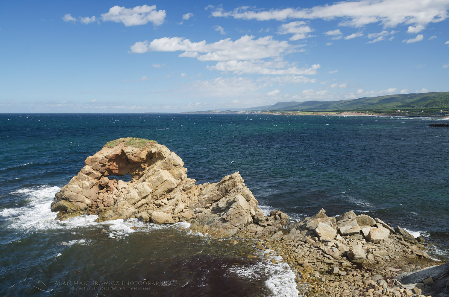
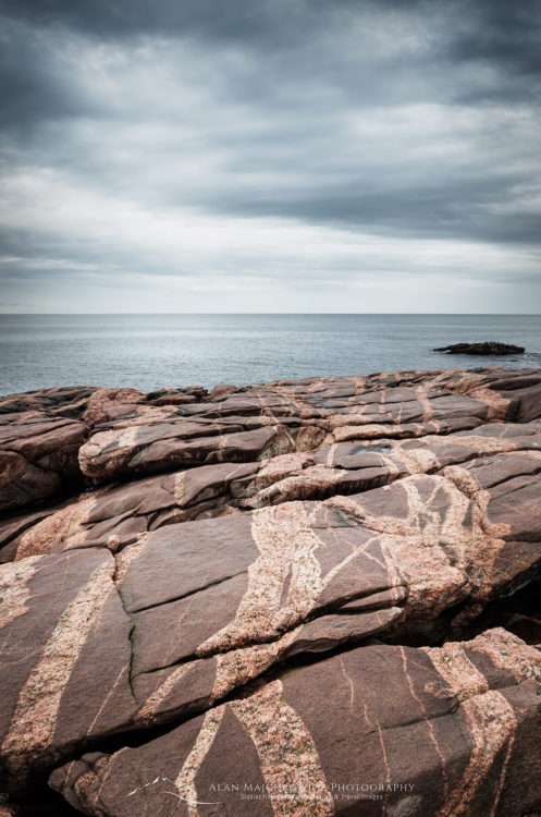
After packing up our camp we began our drive north and over to the Atlantic side of Cape Breton Island. At Green Cove, we got our first real view of the Atlantic Ocean. Getting out of the truck to stretch our legs I found this to be a great place for photography. The headland is composed of beautiful pink granite laced with striped intrusions. Given the right lighting conditions, I could spend hours here photographing the fascinating patterns. Unfortunately, a storm front was arriving with the first drops of rain which lasted all day.

I wished we had better weather and more time to stay and explore beautiful Cape Breton Island. One of my biggest regrets was having to pass up a visit to the Fortress of Louisbourg National Historic Site. Located on the far eastern edge of Cape Breton Island, the fort is a wonderfully preserved 18th-century military installation. Among the activities here are interactive tours and reenactments of 18th-century life. Including Louisbourg on our trip would’ve meant excluding other important locations further on. And I didn’t want to miss out on photographing iconic Peggy’s Cover and historic Lunenburg. So it was onward into the rain, and part two of this post!

Green Cove Nova ScotiaGreen Cove, Cape Breton Highlands National Park  #58656  Purchase

Alpenglow over Marriott Basin, Coast Mountains British Columbia

Marriott Basin British Columbia

Marriott Basin British Columbia

Alpenglow over Marriott Basin, Coast Mountains British ColumbiaMarriott Basin alpenglow, #61843    Purchase

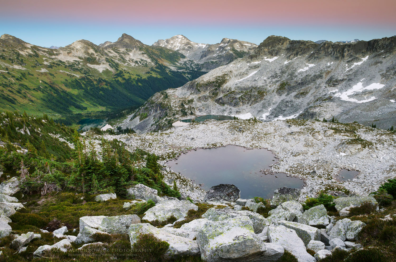
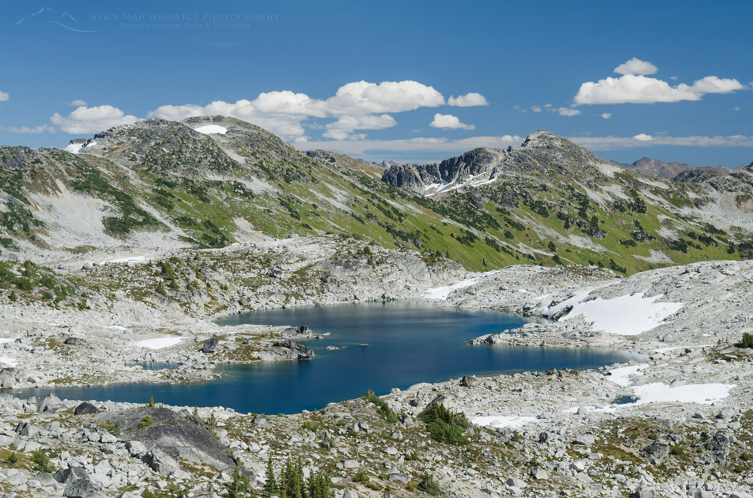
Last month I made my third trip to Marriott Basin, in search of new landscape images. Hot on the heels of my recent trip to Whatcom Pass, I wanted to get in as many backpacking photo trips as possible before wildfire smoke returned. This season has been one of the worst in history for wildfires. Both in the western United  States and British Columbia numerous large fires are burning.

Located in the southern Coast Mountains of British Columbia, Marriott Basin is an extensive alpine area. Access to the area is from Cayoosh Pass on Highway 99, about an hour’s drive east of Pemberton. Nearby is the extremely popular Joffre Lakes Provincial Park. While the lakes are popular with sightseers and day hikers, the Joffre Group of peaks is wildly popular with climbers and backcountry skiers.

Marriott Basin and Wendy Thompson Hut

Generally above 6000′ Marriott Basin contains several lakes and numerous peaks for climbing, most notably Marriott Peak. My previous trips to Marriott Basin entailed one overnight backpack to Mount Rohr, technically outside the basin. The other was a winter ski trip to the Wendy Thompson Hut, located at the head of the basin. The Wendy Thompson Hut is operated by the Alpine Club of Canada and is open year-round. However, the hut sees most of its visitors during the winter and early spring ski season.

Getting into Marriott Basin is fairly straightforward, with summer access being slightly different from winter. In summer you can drive a couple of miles up a brushy gravel secondary road to the trailhead. Parking and turnaround space is extremely limited and you may need back down the road to find a spot. The total length into the basin from trailhead to the hut is around five miles with about 2000 feet of elevation gain. I say around and about since I don’t carry a GPS and rely on maps and online trail guides instead. Depending on your fitness and pack weight the hike can be from 2-4 hours.

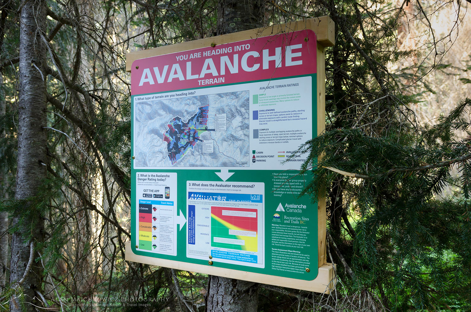
Avalanche warning sign Coast Mountains British ColumbiaTrailhead avalanche warning #61910    Purchase

Marriott Basin British Columbia Trail

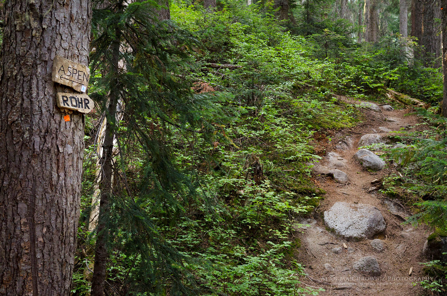
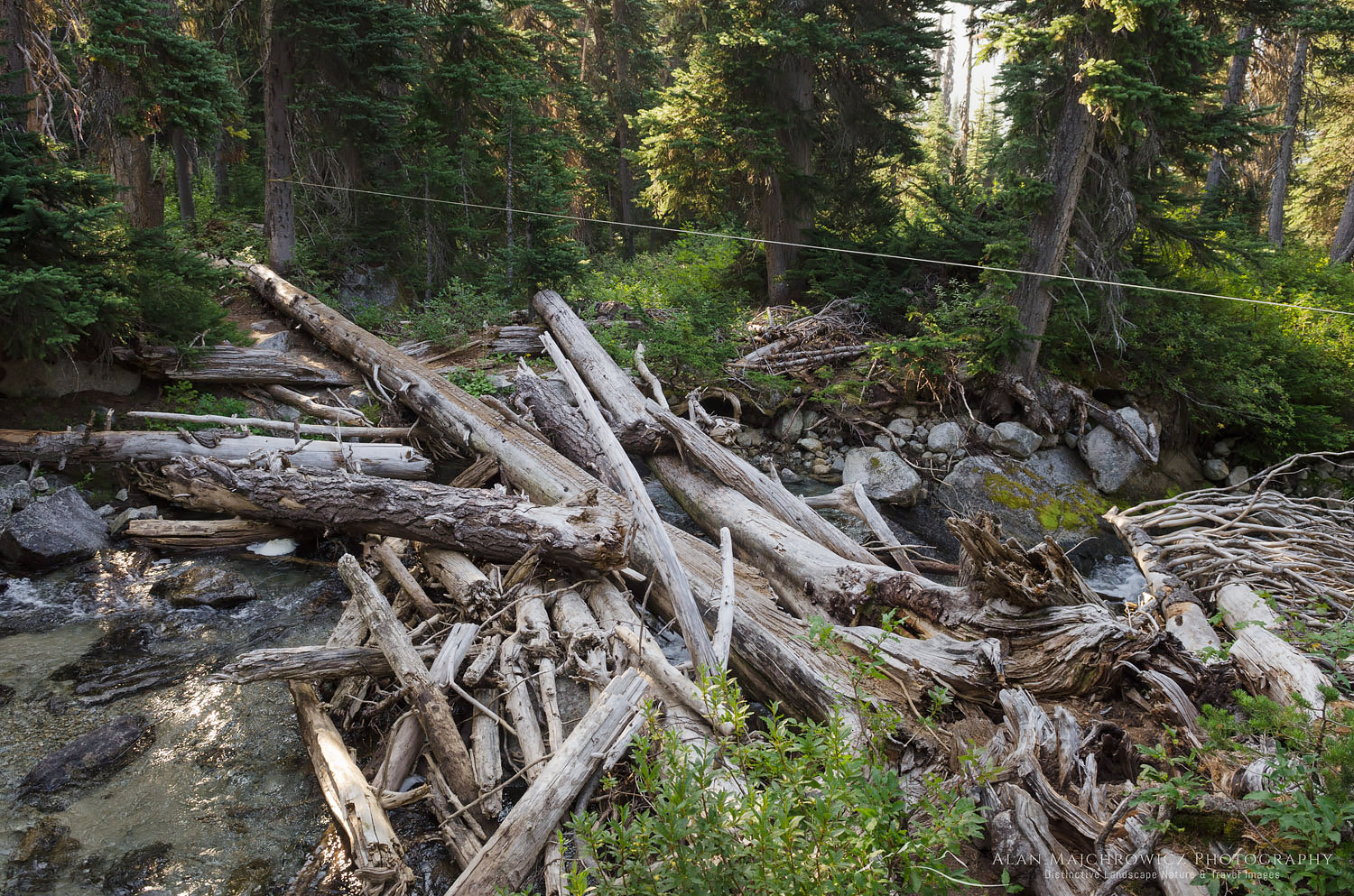
Posted at the trailhead is a large sign warning of and explaining avalanche hazards, which generally is of no consequence in summer. Hikers accustomed to hiking on U.S. trails in the Pacific Northwest may be in for a rude awakening. Well-marked and easy to follow, the trail receives very little maintenance. Climbing over logs around boulders and muddy areas the trail is pretty rough in places. After a short level spell, the trail climbs a headwall very steeply, without switchbacks, through the forest. Near the top of this section is the turnoff for Rohr Lake and Mount Rohr. From here the trail levels off a bit and zigzags around muddy bogs and small meadows until a tricky log crossing of a stream. On my visit the water was low but in late spring or early summer, the crossing must be quite exciting!

Marriott Basin trail Coast Mountains British ColumbiaMount Rohr junction #61905    Purchase
Marriott Basin trail Coast Mountains British ColumbiaCreek crossing, Marriott Basin Trail  #61892    Purchase

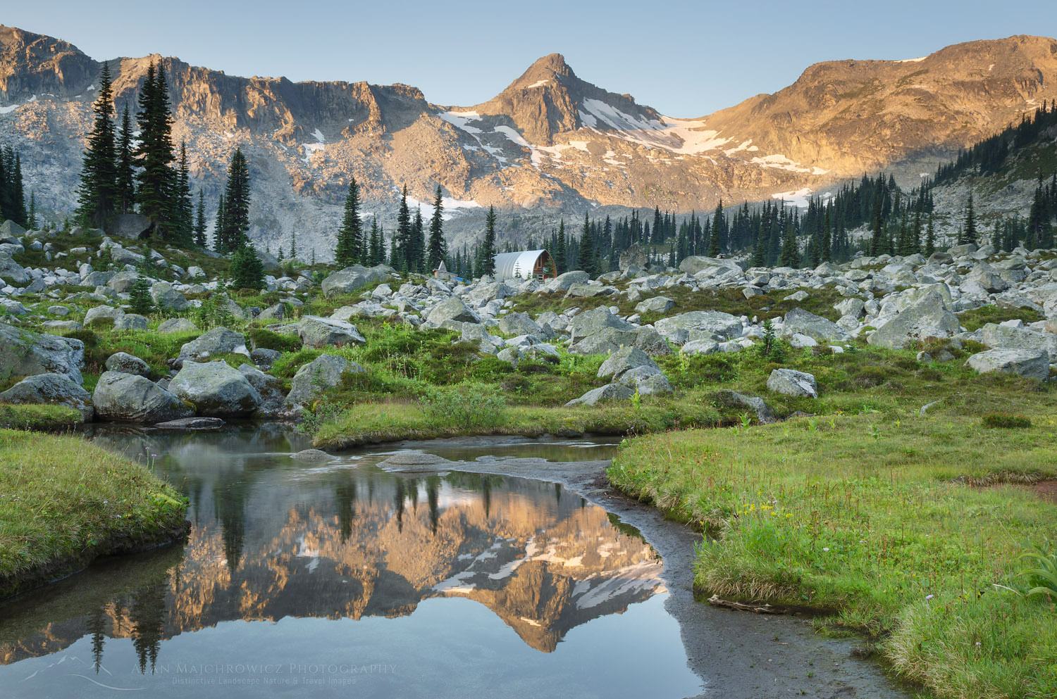
The next section of the trail climbs into the subalpine zone, or the boulder zone as I call it on this trip. As soon as you start breaking out of the trees the trail is almost constantly negotiating rocks and boulders. The constant ups and downs and zigzagging can be very tiring, especially in warm weather. However, the views also begin to open up now, above the ridge tops and over to green Marriott Lake. After reaching the far end of the lake the last bit of climbing to the hut begins. Again, depending on your pack weight this section can feel short or agonizingly long. In all, it’s less than a mile and 200′ higher up. A level boulder-filled meadow with a meandering stream is home to the hut.

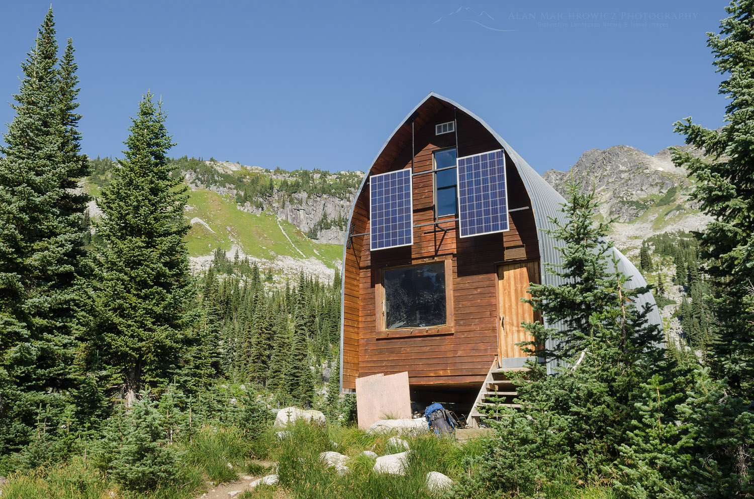
Wendy Thompson Hut British ColumbiaWendy Thompson Hut  #61793    Purchase

Wendy Thompson Hut

The upper lakes were my ultimate destination, so I only paused briefly for a rest and inspection of the hut. Wendy Thompson was a ski patroller and paramedic. She died tragically in 1995 at the age of 33 in a Medivac flight crash in the Queen Charlotte Islands. As a memorial and legacy to Wendy, her parents, and the ACC worked with volunteers to build this hut.

Since my last winter visit, the ACC made some substantial renovations. They extended the entire length and added solar-powered lighting and USB ports. They also replaced the obnoxious smell of kerosene heaters with a wood-burning stove. As is usual in backcountry huts one of the tables was covered in maps, guidebooks, and misc. reading material. Also present was the obligatory cribbage board and multiple decks of cards.

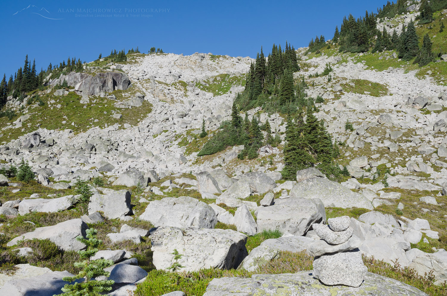
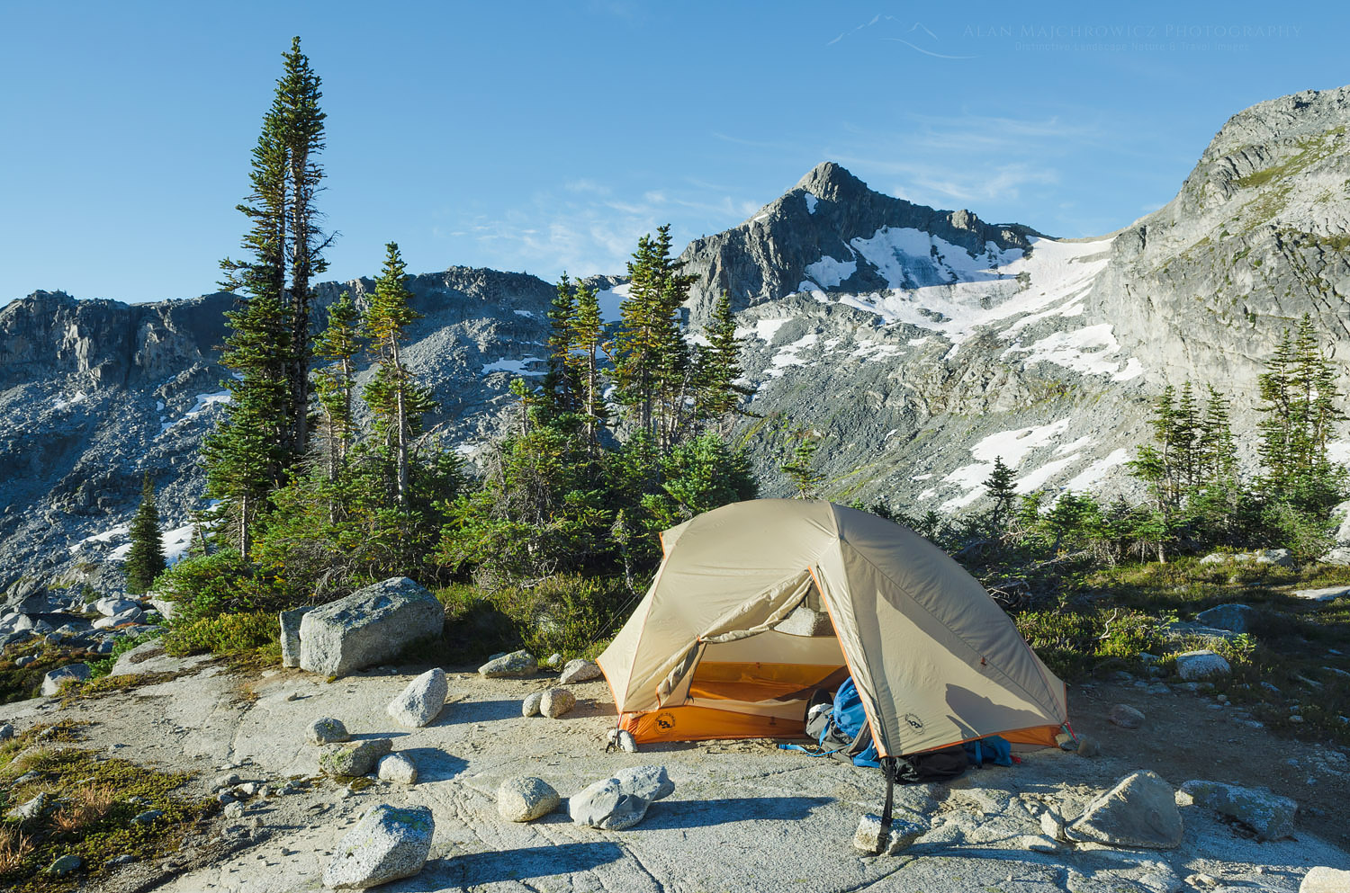
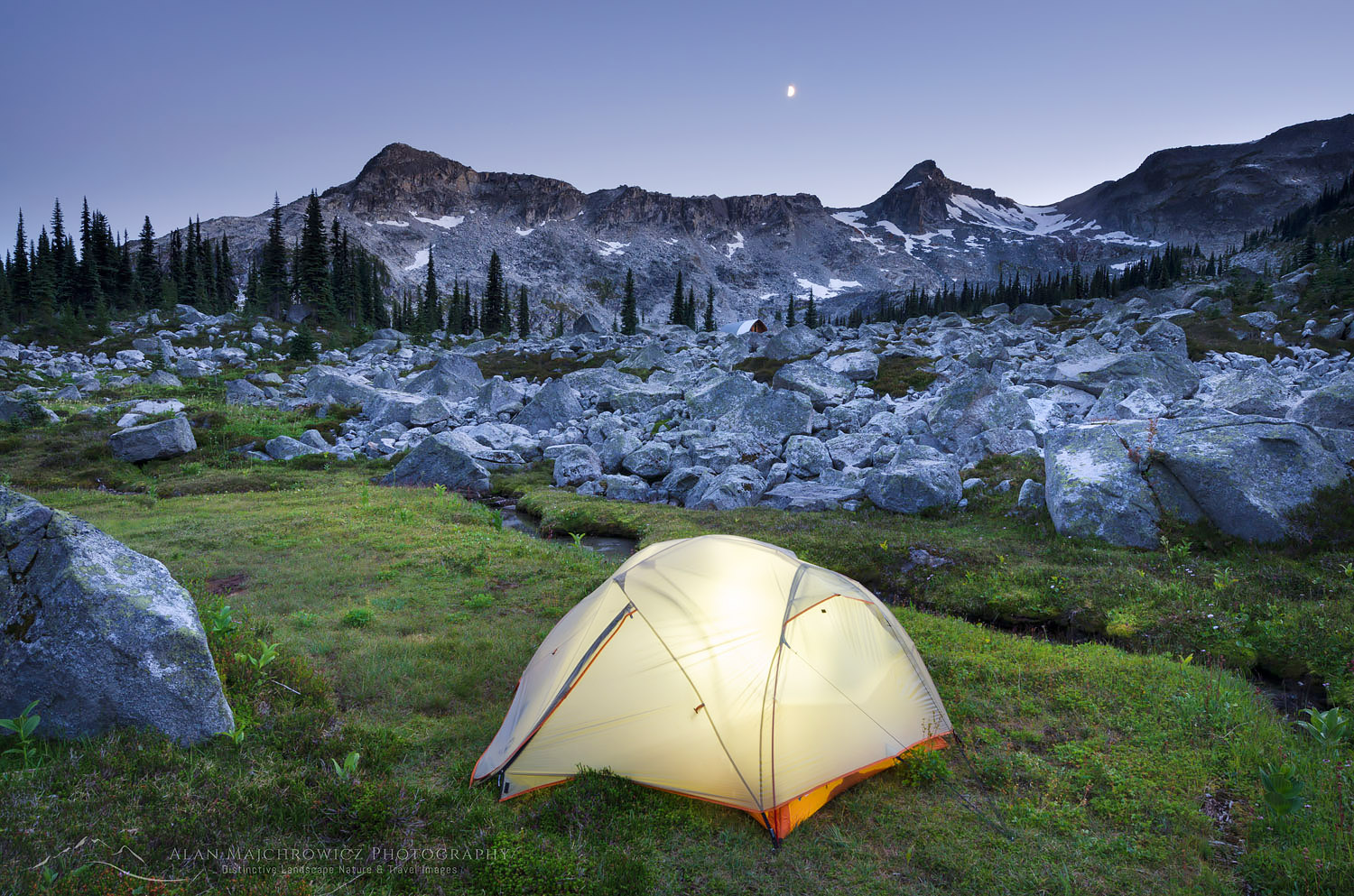
From the hut, the work begins again. Access to the upper lakes is via more and bigger boulder fields without the benefit of a trail. Some well-placed rock cairns mark the way but mostly it’s a pick-your-own-best route deal. Once at the upper lakes, it is wide open wandering in all directions. I set up camp in a spot suitable for easy access to photo ops of the distant peaks and valleys below.

Boulders Marriott Basin Coast Mountains British ColumbiaBoulder field, cairn visible in lower right corner  #61849    Purchase

Upper Marriott Basin

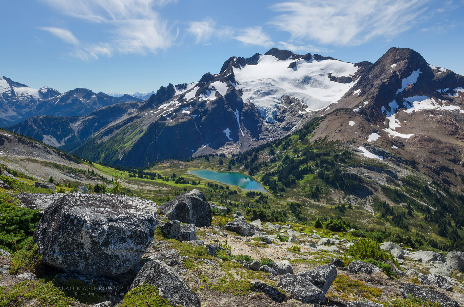
The next day I did some exploring and I set my eyes on an easy ridge within my comfort level. Hiking and easy scrambling over boulder slopes brought me to the crest with a new view to the west and north. One of the reasons I picked this particular ridge was for the unobstructed views of Cayoosh Mountain. Sitting at 8200″Cayoosh is a fairly bulky chunk of rock with the north and east aspects covered in glaciers. Looking down between me and Cayoosh was a high pass with a small green lake. To the north was a long deep valley with countless peaks on the horizon. Taking in such a view I immediately wished I had my camp set up here! Photographing in good light would be spectacular. I guess I will need to make another trip back sometime.

Later, back at my camp, I settled in to wait for the evening light. Although the sky was mostly free of clouds, there was some nice alpenglow present, which enabled me to take a few photos. It was nice to watch the progression of layered colors after sunset. First came yellows and oranges, followed by purples and blues of the Belt of Venus.

Backcountry camp Coast Mountains British ColumbiaCamping in Marriott Basin #61795    Purchase

Cayoosh Mountain Coast Mountains British ColumbiaCayoosh Mountain #61805    Purchase

Marriott Basin Coast Mountains British ColumbiaUpper Marriott Basin #61815    Purchase

Back at the Hut

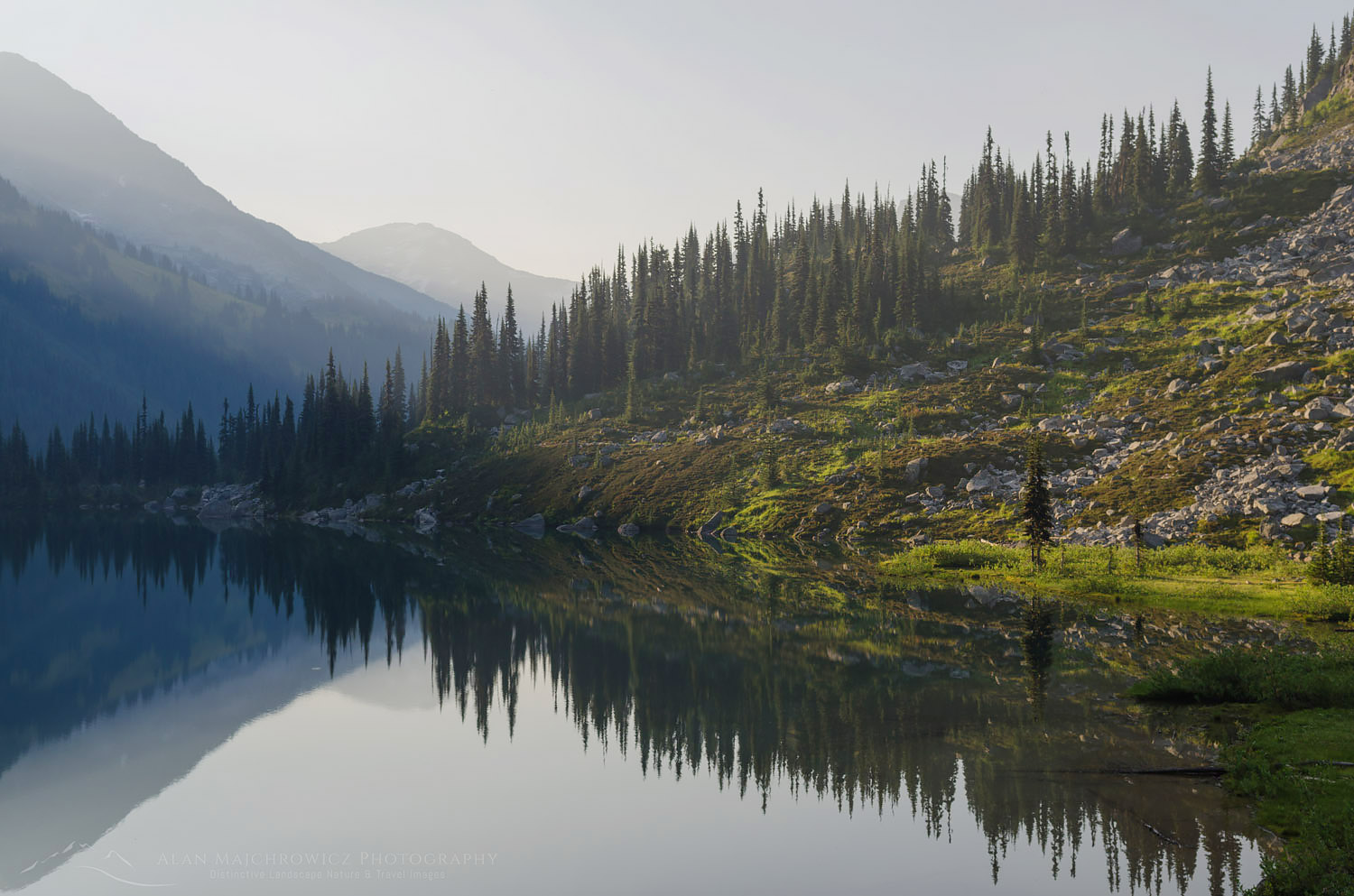
The next day I had planned to hike out to my truck but on exploring the area near the hut I decided to stay an extra night. Near the hut were small grassy meadows and a small stream among more boulders. I found a nice campsite near the small stream which held potential for some nice photographic compositions. I tried to take some evening photos but the light was bland, especially with no clouds. In the morning it was apparent that the winds had shifted. Smoke once again began to creep across the sky. Although there still weren’t any clouds the light was a bit nicer, with the smoky haze giving a more pastel hue to the scene. I set up my tripod in a few predetermined places and came away with several more photos.

I had a quick breakfast and packed up my gear. Although I wasn’t as successful with photos as hoped I did have a great time. And I did manage to find a new view that was worthy of a return trip.

Backcountry camp Coast Mountains British ColumbiaMarriott Basin Camping #61863    Purchase

Marriott Basin, Coast Mountains British ColumbiaMarriott Basin #61871    Purchase

Lower Marriott Lake Coast Mountains British ColumbiaSmokey haze over Marriott Lake #61884    Purchase

Leave No Trace

Please, Please, Please!  Don’t plan a trip to this or any other national park, monument, or wilderness area unless you are prepared to follow Leave No Trace guidelines (LNT). National parks and wilderness areas worldwide are under incredible pressure from the growing number of visitors. So, please do your part to help preserve these precious areas for future generations!

Please visit the Leave No Trace Center for Outdoor Ethics to learn more about LNT’s principles. Your children and grandchildren will thank you!

LEAVE NO TRACE SEVEN PRINCIPLES

1. Plan and Prepare
2. Travel and Camp on Durable Surfaces
3. Dispose of Waste Properly
4. Leave What You Find
5. Minimize Campfire Impacts
6. Respect Wildlife
7. Be Considerate of Other Visitors
© Leave No Trace: www.LNT.org

Learn about how to protect the places we love to photograph
Visit the Nature First Website
Nature First the alliance for responsible nature photography


All photos appearing in this post are available for Commercial Licensing and Fine Art Prints. Click on any image to purchase, or contact me for more info!

Marriott Basin British Columbia

Bay of Fundy low tide

Bay of Fundy New Brunswick

Bay of Fundy New Brunswick

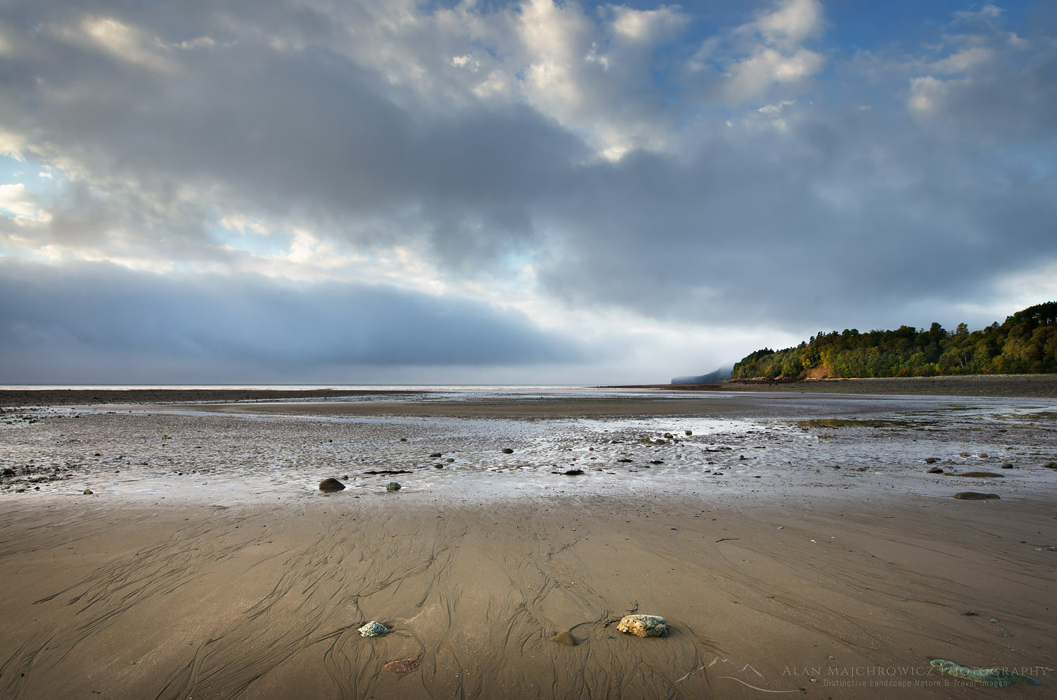
Bay of Fundy low tideBay of Fundy at low tide  #58545    Purchase

A year ago I made my first visit to the Bay of Fundy New Brunswick. For many years the Atlantic Provinces of Canada have been on my must-see list. Last year my wife, Coleen, and I finally had the opportunity to visit and photograph in this beautiful region. Our plan was to spend six weeks traveling to Nova Scotia and New England for fall color photography. Since we had to drive through New Brunswick we couldn’t miss the opportunity to check out the fabled Bay of Fundy.

Fundy National Park

Fundy National Park was our first stop in the Atlantic Provinces after leaving New England. Fundy National Park showcases a rugged coastline, over 25 waterfalls, a dense Acadian Forest, and of course the famous tides. We excitedly pulled over at the first overlook of the bay. After such a long drive across the continent, it was a welcome sight to see and smell salt water again. We checked in at the visitor center to secure a campsite then quickly set up our home for the night.

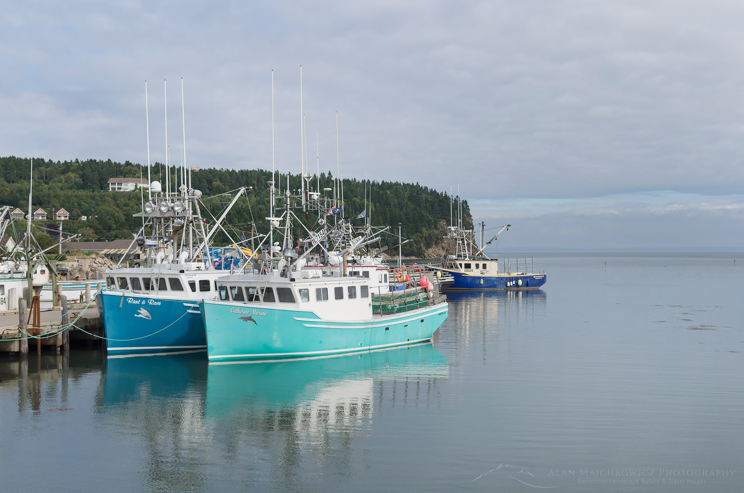
Fishing Boats New BrunswickFishing boats, Alma, New Brunswick  #58493   Purchase

We stayed in Headquarters Camp and found it very convenient, being very close to the bay. Campers in Fundy National Park have a variety of options available in three different campgrounds. You can choose between a traditional tent and RV sites, yurts, rustic cabins, oTENTik, or the new Goutte d’Ô. Goutte d’Ô is a structure with a water droplet shape suitable for couples or families. I must warn, however, along with the park’s daily use fee per person, the cost of renting out an oTENTiks, or Goutte d’Ô could be higher than a nice motel room.

Alma, Bay of Fundy

Our next objective was to pay a visit to the small town of Alma in search of lobster. While in town I made some photos of fishing boats moored to piers at high tide. My plan was to make some comparison photos of low and high tides. We searched the town but couldn’t find any open lobster shacks. It turned out the season had closed so there wasn’t any lobster available. So we settled for the next best thing, clam chowder, and fish & chips. I wish I could report that we had a good introduction to east coast seafood, but it wasn’t to be. The clam chowder was very watery, with hardly any cream clams or flavor. Unfortunately, the fish & chips were no better, a small fillet covered in thick very greasy batter. Although we were sorely disappointed, our dining luck will greatly improve in the coming weeks!

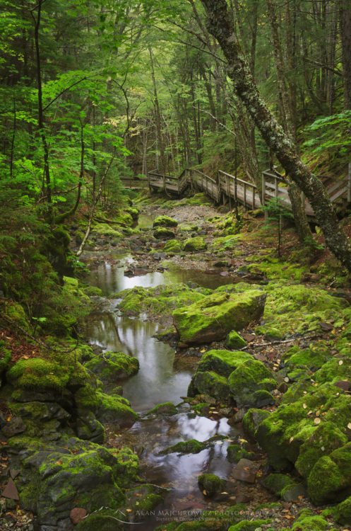
Dickson Falls Trail, Fundy National ParkDickson Falls Trail, Fundy National Park  #58487   Purchase

Dickson Falls

Aside from the obvious attraction of the bay and its tides, Fundy National Park also has over 100 kilometers of trails. I wanted to check one of those trails before getting ready for evening photography. I decided on the popular Dickson Falls Trail, a short walk into a forested ravine to a famous waterfall. Upon entering the forest I was immediately struck by the heavy fragrant scent of spruce trees. Forests in New Brunswick and Nova Scotia are classified as Acadian, a mix of northern hardwoods and boreal spruce usually found in the far north. A well-constructed boardwalk trail takes you through a cool green forest that felt more like home in the Pacific NW. Due to all of New England and the Atlantic Provinces experiencing a severe drought, Dickson Falls turned out to be a disappointing trickle.

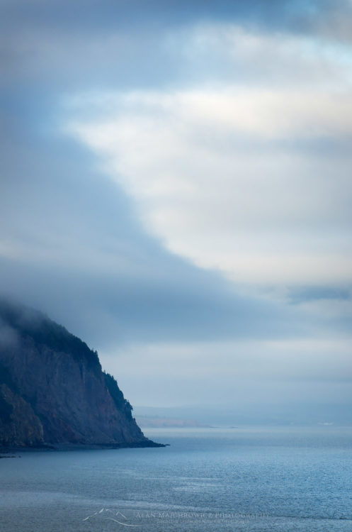
Bay of Fundy New BrunswickBay of Fundy headlands  #58518   Purchase

Bay of Fundy New BrunswickFog over Bay of Fundy  #58525   Purchase

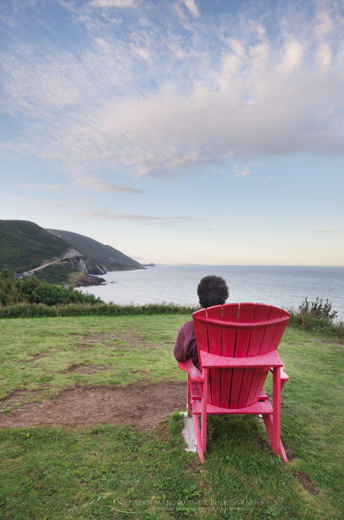
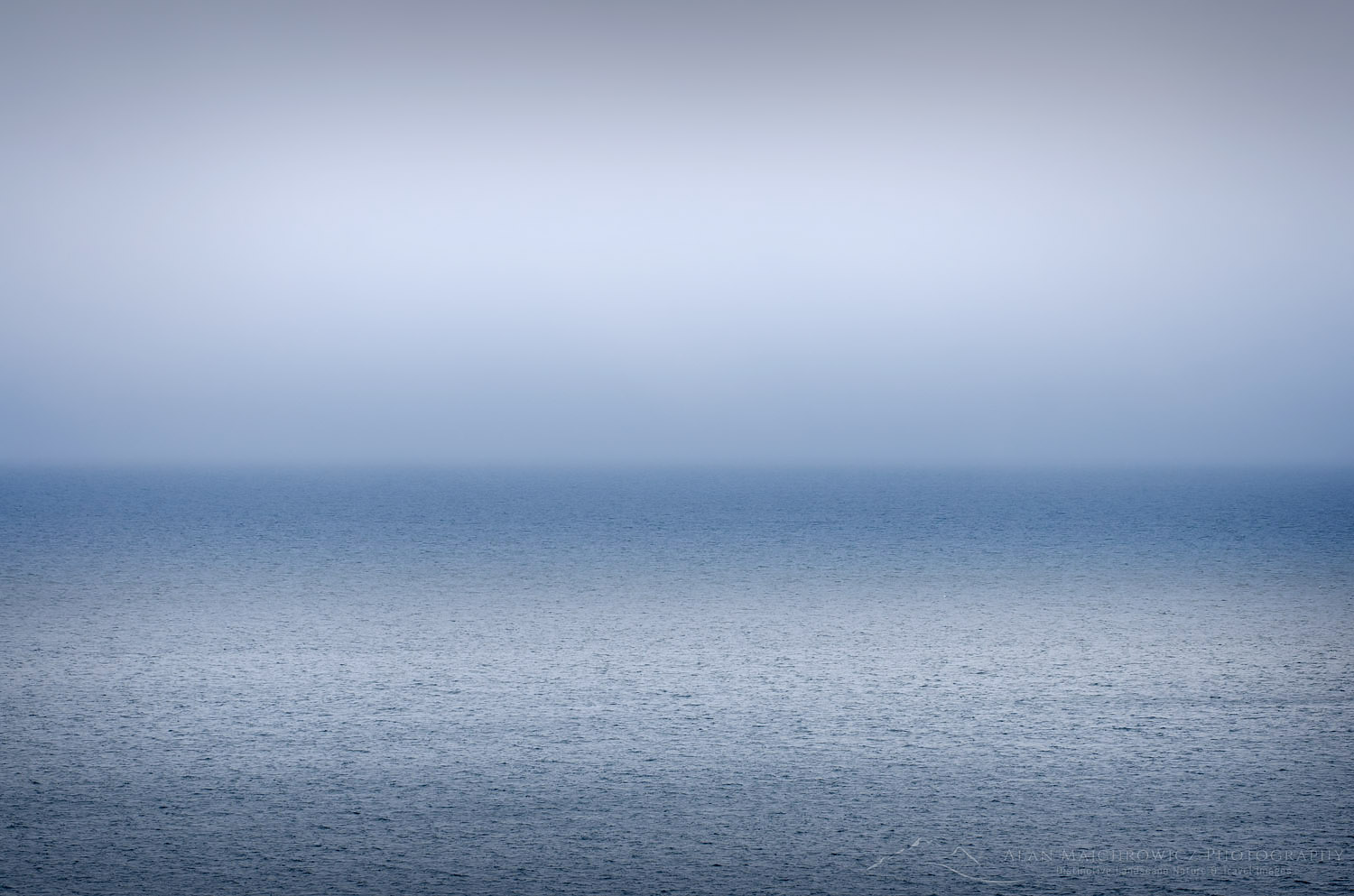
After the hike, we returned to a wide overlook of the bay and settled in to see what kind of light evening will bring. A quaint feature of Fundy National Park is the placement of red Adirondack chairs in quiet scenic locations. It was relaxing to take advantage of the chairs as we gazed across the bay hoping to see whales. While we didn’t see any whales in the bay I did manage to make a few semi-abstract photographs of cloud patterns.

Bay of Fundy low tideFishing boats at low tide, Alma New Brunswick  #58535   Purchase

Fundy Low Tide

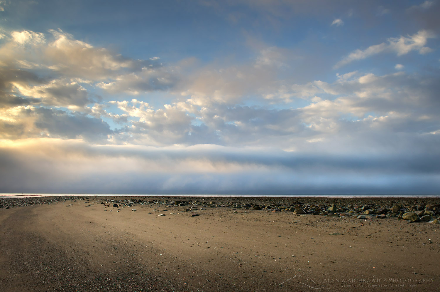
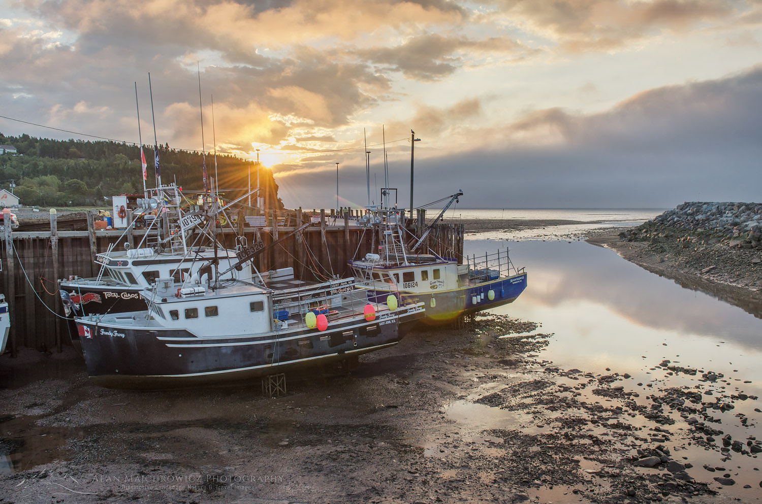
I got up early the next morning to drive down to the bay for low tide. It was quite a sight to see such a low tide. All the fishing boats were now resting high and dry on a gravel and mud seafloor. After scouting for photos along the expansive low-tide beach I headed back to camp to pack up and move on to Nova Scotia. I was hoping to make a stop along the way at Hopewell Rocks to photograph the famous sea stacks. However, as we pulled into a full parking lot the sight of a large number of tour busses was discouraging. I knew from experience that the best views for photography would be crowded with tourists. So with a tinge of regret, we instead drove on to our next main destination, Cape Breton Highlands, Nova Scotia.

It seemed a shame though to have only a little more than a day for this area. I guess we’ll have to come back again!

Bay of Fundy low tide New BrunswickBay of Fundy low tide  #58540   Purchase