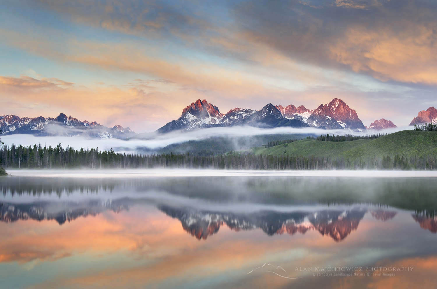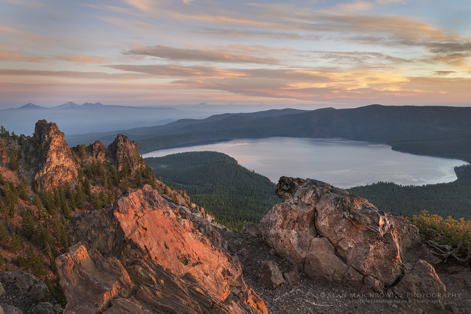
Dramatic sunrise sky over Paulina Lake and Cascade Range is seen from the Paulina Peak overlook. Newberry National Volcanic Monument, Oregon #84085

Photographing Newberry National Volcanic Monument
Photographing Newberry National Volcanic Monument

Dramatic sunrise sky over Paulina Lake and the Cascade Range seen from Paulina Peak overlook. Newberry National Volcanic Monument, Oregon #84062Newberry Crater National Volcanic Monument #84062  Purchase

Central Oregon is a land that encompasses a wide variety of landscapes. The area includes the snowy Cascade Mountains, fragrant forests, rushing rivers, and high desert or shrub-steppe. Underlying and shaping all of these features is a long history of volcanic activity. In fact, it’s difficult to go anywhere in central Oregon without coming across volcanic features such as lava flows, craters, columnar basalt, pumice fields, or lava caves.

In the center of this vast area is Newberry National Volcanic Monument. Also known as simply Newberry Crater, it is the largest volcano in the Cascades Range. Newberry is even larger than nearby Crater Lake. However, it is not just a crater but a large caldera with many craters within. Furthermore, nearly every volcanic feature in the Pacific Northwest can be seen within its boundaries. Additionally, several hot springs along the shore of Paulina Lake unquestionably prove that Newberry is still an active volcano.

Photographers visiting the Newberry can find inspiration throughout the monument. Although some features can be difficult to photograph, they are worth the effort. In this post, I will touch on several interesting areas.
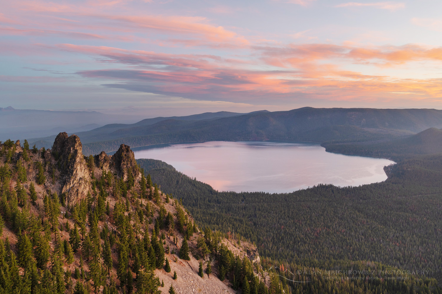
Dramatic sunrise sky over Paulina Lake and the Cascade Range seen from Paulina Peak overlook. Newberry National Volcanic Monument, Oregon #84082Newberry Crater National Volcanic Monument #84094  Purchase

Photographing Newberry National Volcanic Monument / Paulina Peak

Photographers looking for a grand view should drive to the summit of Paulina Peak, which is 7984 feet above sea level. The views are seemingly endless in every direction. From the overlook, the entire caldera is visible. In addition, looking west, the snowy summits of the Three Sisters volcanos dominate the horizon.

Although most people drive to the summit, there is also the Paulina Peak Trail. The trail starts along the summit road near the base of Paulina Peak. It’s a 4.2-mile round trip with 1400 feet of elevation gain. It’s a pleasant hike to the top, although not very practical for photographers needing to be in place during golden hours.
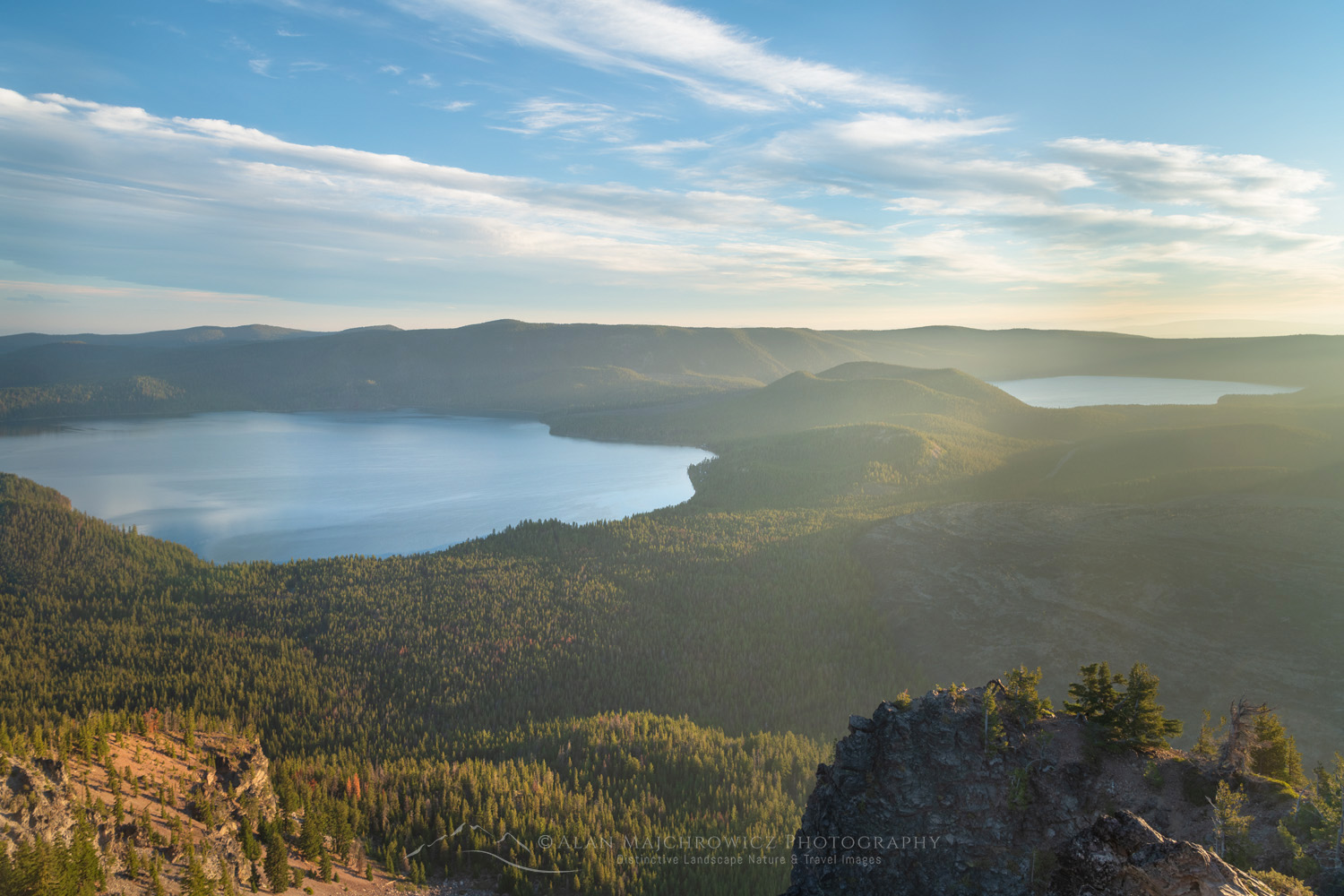
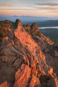
Paulina Lake and the Cascade Range are seen from Paulina Peak overlook. Newberry National Volcanic Monument, Oregon #84105Newberry Crater National Volcanic Monument #84105  Purchase

Photographing Newberry National Volcanic Monument at the summit of Paulina Peak is relatively easy. The large parking lot is right at the overlook on the summit. I say relatively easy because although the area is small, you’ll need to scout out interesting compositions and patiently wait for light. Even though the view alone is magnificent, you’ll need to add other elements to your compositions to create compelling images.

Besides the summit overlook, you can hike down the Paulina Peak Trail to scout for more interesting aspects. But use caution, there are many cliffs in the area and the rock is very loose and unstable.
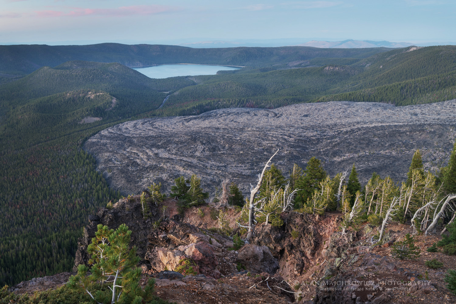
Big Obsidian Flow and East Lake, seen from Paulina Peak overlook. Newberry National Volcanic Monument, Oregon #84009Big Obsidian Flow seen from Paulina Peak #84094  Purchase

Big Obsidian Flow

Another outstanding feature to visit and photograph is the Big Obsidian Flow. This sprawling volcanic feature is visible from the Paulina Peak summit and can be accessed by an interpretive trail along the Paulina Lake Road.

At only 1300 years old, this lava flow is the youngest in Oregon. It is also one of the few lava flows in Oregon where you can see obsidian up close. The 1-mile interpretive trail begins with a climb up the flow on stairs and then winds among the flow. Along the way are signs in key areas describing the fascinating history and geology of the flow.
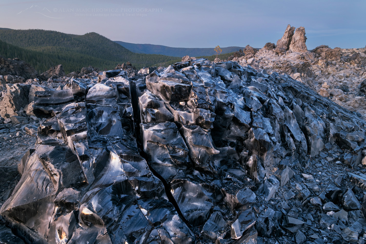
Large blocks of obsidian on the Big Obsidian Flow. Newberry National Volcanic Monument, Oregon #84174Big Obsidian Flow during Blue Hour #84174  Purchase
Large blocks of obsidian on the Big Obsidian Flow. Newberry National Volcanic Monument, Oregon #84139Big Obsidian Flow during Blue Hour #84139  Purchase

Photographers will find Big Obsidian Flow to be a very challenging subject. It’s difficult to isolate good compositions, and the contrast between the black lava and the sky will require special exposure techniques. It is best to avoid sunny mid-day conditions where contrasts are extreme. Golden hour can bring warm, even light, although contrast levels can still be high. On the other hand, Blue hour light can be wonderful.

In addition, while it may be tempting to leave the trail and search further for compositions, this is not recommended. Obsidian is basically black glass, and its broken edges are razor-sharp. Everywhere on the flow blocks of obsidian and other forms of lava are unstable and extremely difficult to walk on. So obviously, it’s best to keep to the trail.
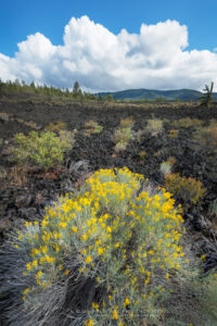
Rabbitbrush (Ericameria nauseosa (Pall. ex Pursh) growing in lava flow of Lava Cast Forest. Newberry National Volcanic Monument, Oregon #83934Rabbitbrush in Lava Cast Forest #83934  Purchase

Lava Cast Forest

Lava Cast Forest is another interesting but difficult area to photograph. There is a mile-long interpretive trail here with some fascinating subject matter along its length. The voids in the lava where trees once stood and were burned away are interesting. However, they aren’t the best subject matter.
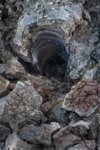
Lava Cast Forest, Oregon #83922Lava Cast Forest #83922  Purchase

Lava Cast Forest, Oregon #83945Twisted Tree Lava Cast Forest #83922  Purchase
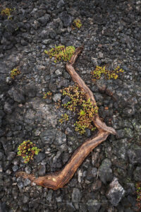
Lava Cast Forest, Oregon #83943Lava Cast Forest #83922  Purchase

In my opinion, the trees and plants growing in and around the edges of the lava flow are much more interesting. Since soil conditions in the lava field are harsh, many trees have grown into strange twisting shapes. Also, small flowering plants stand out in stark contrast to the black lava, making for fun nature studies.
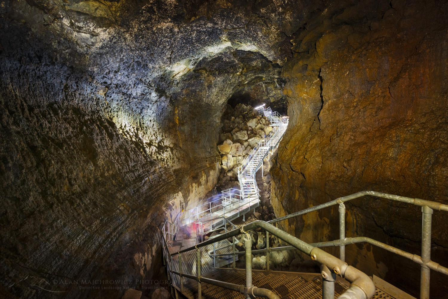
Lava River Cave Newberry National Volcanic Monument Oregon #84177Lava River Cave #84177  Purchase

Lava River Cave

A trip to for photographing Newberry National Volcanic Monument would not be complete without visiting Lava River Cave, the longest continuous lava cave in Oregon. While the 2.2-mile roundtrip hike in the cave is fun, there are few good photo ops.

Unlike living limestone caves, Lava River Cave does not have interesting dripping speleothem structures such as stalactites or stalagmites. For the most part, the walls are smooth. But it is a fascinating cave, nonetheless.
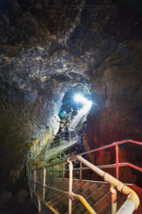
Lava River Cave Newberry National Volcanic Monument Oregon #84180Lava River Cave #84177  Purchase

Photographers will need to bring a tripod as there is no lighting anywhere in the cave. If you don’t have a headlamp, one can be rented at the entrance, as you won’t be allowed to proceed into the cave without one. It’s a good idea to bring at least one extra headlamp or flashlight as a backup and also for light painting. Besides the lighting issue, it is also difficult to photograph in the cave because there is a constant flow of people.

Essential Tips for Photographing Newberry National Volcanic Monument:

  • Scouting is an essential, but often overlooked, technique for better photography. Always scout out the best locations in advance by spending the day thoroughly exploring the area. Make notes of the best spots and how long it will take to reach them in the morning and evening golden hours
  • Always allow enough time. One of the most important considerations when planning a photography trip to any location is time.  Good photography rarely results from a hurried schedule. Likewise, chasing light is stressful, stay in one place and let the light come to you!
  • Photographing in lava fields may require exposure stacking techniques to deal with the high contrast.
  • Likewise, avoid polarizing filters on sunny days, they will increase the contrast and render lava empty as black spaces.
  • Recreation passes are required for entry into Newberry National Volcanic Monument. Either a Northwest Forest Pass or any of the Interagency passes will work.
  • Lava River Cave is open only from early May through mid-September. Reservations are required, and tickets can be purchased at Recreation.gov
  • Several great campsites are available in Newberry, but during the busy summer season, reservations are required. Outside the monument, random camping may be found on national forest or BLM land.
  • The town of Bend is only about ten miles north of the monument. A variety of accommodations and amenities are available there.
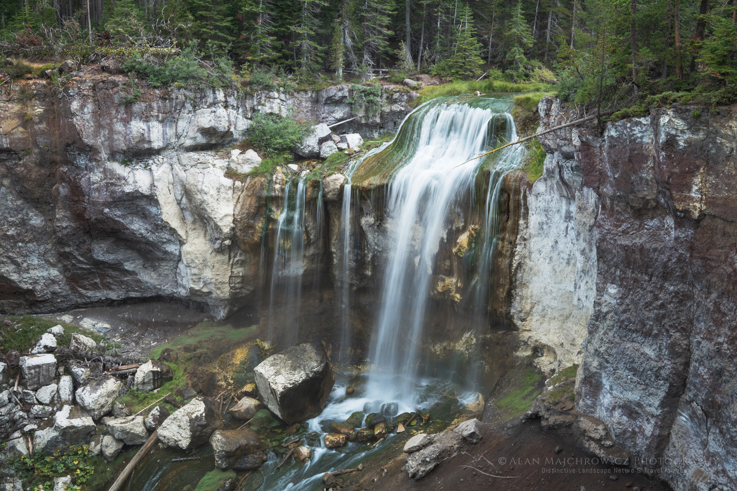
Paulina Falls Newberry National Volcanic Monument, Oregon #83949Paulina Falls Newberry National Volcanic Monument #84180  Purchase

Leave No Trace

Please, Please, Please!  Don’t plan a trip to this or any other national park, monument, or wilderness area unless you are prepared to follow Leave No Trace guidelines (LNT). National parks and wilderness areas worldwide are under incredible pressure from the growing number of visitors. So, please do your part to help preserve these precious areas for future generations!

To learn more about the principles and practicing LNT please take a few minutes to visit the Leave No Trace Center for Outdoor Ethics. Your children and grandchildren will thank you!

LEAVE NO TRACE SEVEN PRINCIPLES

1. Plan Ahead and Prepare
2. Travel and Camp on Durable Surfaces
3. Dispose of Waste Properly
4. Leave What You Find
5. Minimize Campfire Impacts
6. Respect Wildlife
7. Be Considerate of Other Visitors
© Leave No Trace: www.LNT.org

Learn about how to protect the places we love to photograph
Visit the Nature First Website

Nature First the alliance for responsible nature photography


Sunset over Paulina Lake and the Cascade Range seen from Paulina Peak overlook. Newberry National Volcanic Monument, Oregon #84033Newberry Crater National Volcanic Monument #84033  Purchase


All photos appearing in Newberry National Volcanic Monument are available for Commercial Licensing and Fine Art Prints. Click on any image to purchase, or contact me for more info!

Photographing Newberry National Volcanic Monument

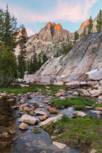
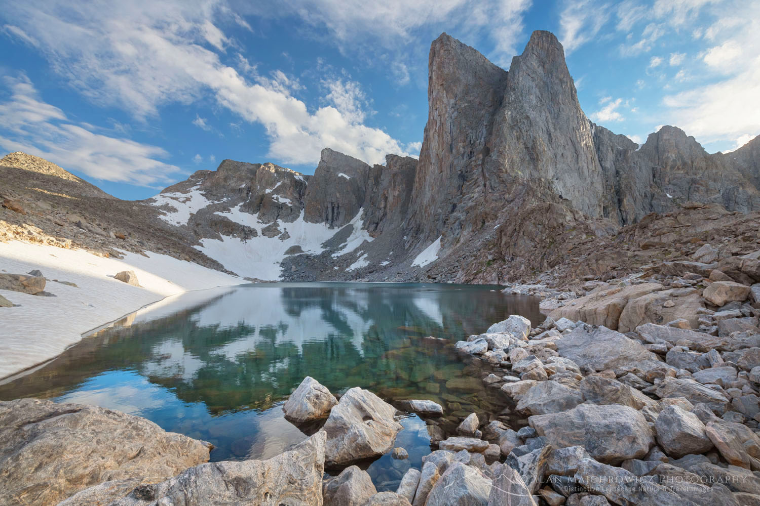
The Temple reflected in the still waters of a tarn in Cramer Basin. Sawtooth Wilderness, Idaho #83651

Photographing Cramer Lakes Sawtooth Mountains

Photographing Cramer Lakes Sawtooth Mountains

Golden light of sunset reflected on still waters of a tarn in Upper Cramer Basin Sawtooth Wilderness, Idaho #83712bUpper Cramer Basin, Sawtooth Wilderness, Idaho #83712  Purchase

The Sawtooth Mountains are a sub-range of the Rocky Mountains, in south central Idaho. There are 57 peaks with an elevation of over 10,000 feet. The Sawtooth National Recreation Area (Sawtooth NRA) consists of 756,000 acres of spectacular mountains, over 700 miles of trails, and more than 300 mountain lakes.

Needless to say, the Sawtooth Mountains attract visitors of every type, in all seasons. In spring, summer, and fall, hikers, climbers, fishing enthusiasts, hunters, photographers, hot spring fanatics, and road-trippers, flock to the area. In winter the crowds thin, but are replaced by skiers and snowmobilers.

For photographers and backpackers, one of the more attractive trips, and there are many in the Sawtooths, is the hike to Cramer Lakes. Cramer Lakes Basin consists of lower, middle, and upper Cramer Lakes, and a few smaller lakes and tarns in the upper basin. The hike to Middle Cramer Lake is about 15 miles, roundtrip from Redfish Lake, with around 2000′ of elevation gain.

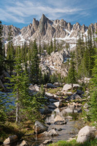
The Temple reflected in the still waters of a tarn in Cramer Basin. Sawtooth Wilderness, Idaho #83651Laury Tarn Upper Cramer Lakes Basin #83651  Purchase

Hiking to Cramer Lakes Sawtooth Mountains

To get to Cramer Lakes trail or any destination along Redfish Creek Valley you have two options. On the one hand, you can begin at the Redfish Trail hiker’s parking lot near Redfish Lake Lodge, then follow the trail along the lake. Alternatively, you can take a water taxi from the lodge to the trailhead at the head of Redfish Lake. This option will save you about five miles of hiking. Like a lot of other hikers, I opted for the water taxi. The cost for adults is $18.00 one-way or $24.00 for a round trip

Redfish Creek Canyon Trail Sawtooth Mountains Idaho #65998Redfish Creek Canyon Trail Sawtooth Mountains Idaho #65998 Purchase

After an initial climb from the water taxi dock, the trail levels out a bit for the first few miles. This nearly flat section is a very pleasant hike through the forest with glimpses of impressive peaks. At Flatrock Junction, the trail splits. The right fork will take you to Alpine and Baron Lakes, another wonderful destination.

Shortly after the fork you come to the crux of the trip, a bridgeless ford of Redfish Lake Creek. The crossing isn’t especially difficult, but if you do the hike too early in the season, then water levels may be too high to safely cross. However, by early July, the crossing is usually manageable.

For the next 4 miles, the trail ascends the valley through pleasant forest with more glimpses of the surrounding peaks. Eventually, the trail levels out and small ponds and marshes replace the rushing creek, before arriving at Middle Cramer Lake.

Middle Cramer Lake, Sawtooth Wilderness, Idaho #83762Middle Cramer Lake, the Sawtooth Mountains #83762  Purchase

Camping at Cramer Lakes

You can’t mistake Middle Cramer Lake since there is a scenic waterfall at its far end plunging into its waters. There are many attractive campsites along Middle Cramer Lake, but you will need to arrive early in the day to secure the best sites.

However, while camping at Middle Cramer Lake is very scenic, camping at the upper lake is even better. There are also plenty of good sites here, with great views across the water. If you’re here for photography, I thoroughly recommend camping here. Quite possibly the best site in the area is one that is along the outlet creek, just above the waterfall.

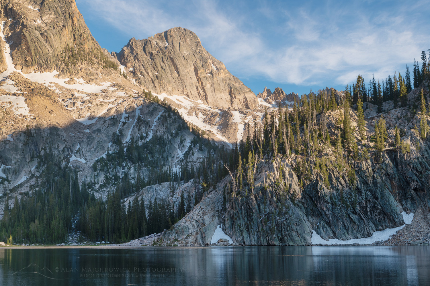
Sevy Peak and Mount Cramer are reflected in the still waters of Upper Cramer Lake. Sawtooth Wilderness, Idaho #83611Upper Cramer Lake, Sawtooth Mountains #83611  Purchase

Sevy Peak is seen from the outlet stream of Upper Cramer Lake. Sawtooth Wilderness. Idaho #83633Upper Cramer Lake, Sawtooth Mountains #83633  Purchase

Photographers camping at a site at Upper Cramer Lake can easily scout out both upper and lower lakes and find excellent compositions. Both morning and evening golden hours are wonderful here, with the evening being especially nice.

Golden light of sunset on peaks of Upper Cramer Basin Sawtooth Wilderness, Idaho #83704Golden hour at Laury Tarn  #83704  Purchase

Upper Basin and Cramer Divide

While Middle and Upper Cramer Lakes are undoubtedly scenic, the upper basin takes scenic to another level. In addition, it undeniably has the most and possibly the best subject matter for photographers.

From Upper Cramer Lake to Cramer Divide the trail traverses through an exceptionally beautiful alpine environment. Along the way there are a couple more lakes, small tarns, rock gardens, and fearsome towers of rock in every direction, all culminating at Cramer Divide.

The Temple, Sawtooth Wilderness, Idaho #83650The Temple, Upper Cramer Basin #83650  Purchase

The largest of the lakes in the upper basin is Laury Tarn. Photographers will find this lake/tarn to be especially rich in compositions. After a night or two at the lower lakes, it would be ideal to spend a couple more at Laury Tarn. This would allow time to thoroughly scout the upper basin and Cramer Divide for photo opportunities. The entire lakeshore is particularly rich in compositions, and this is a prime location during golden hour.

From Laury Tarn to Cramer Divide the trail passes through moraines, rock gardens, and a few more tarns before arriving at the divide. Cramer Divide is a wonderfully scenic spot with groves of wind-weathered white-bark pines and magnificent views in every direction.

The Temple and trail to Cramer Divide in upper Cramer Basin. Sawtooth Mountains Idaho #83722Upper Cramer Basin #83722  Purchase

Essential Tips for Photographing Cramer Lakes Sawtooth Mountains:

  • Start early. Try to get the first water taxi to the trailhead. This will help with securing a prime campsite without having to rush up the trail.
  • Crossing Red Fish Creek will be easier with hiking poles or a sturdy stick. Rocks on the creekbed are round and slippery, so take your time and use caution. However, If the water levels are too high and the crossing looks sketchy, change your plans and go to Baron Lakes instead.
  • Bring a tripod. Especially for serious photography, saving weight by leaving your tripod at home isn’t the best idea. Of course, the rest of your gear can be ultra-light but camera gear takes priority.
  • Golden hour in the evening is, for the most part, better than in the morning.
  • Check out these posts for even more in-depth tips:
    Backpacking Photography Tips
    Backpacking Photography Gear Tips

Sunset light in Upper Cramer Basin Sawtooth Wilderness, Idaho #83720Cramer Lakes Sawtooth Wilderness #83720  Purchase

If You Go to Cramer Lakes

Round Trip Distance:  15 Miles
Elevation:   About 3000′ gain, highpoint Cramer Divide 9501′
Difficulty:  Moderate to difficult
Red Tape:  Free Permits are required, available at the trailhead

To get to Redfish Lake hikers parking lot, Redfish Lake Lodge and water taxi drive about 6 miles south of Stanley on U.S. 75 and another two miles along FR 214. There are plenty of campsites near Redfish Lake and Little Redfish Lake.

The small scenic town of Stanley Idaho makes a great base for trips into the Sawtooths. Lodging, groceries, restaurants, outdoor gear stores, and a great bakery are in town. Redfish Lake Lodge also has many similar amenities.

As mentioned earlier in this post, the Sawtooth Mountains are a popular destination. Not only for hikers and backpackers, but also tourists, front country family camping, river rafters, and fishing. During the height of summer just about every campsite, both front country, and backcountry will be filled before noon. So make your plans accordingly to avoid frustration.

One of the best perks of the area is the numerous natural and wild hot springs. Soaking in one along the Salmon River is also one of the greatest post-hike activities.

Sevy Peak and Mount Cramer are reflected in the still waters of Upper Cramer Lake. #83609Upper Cramer Lake Sawtooth Wilderness #83609  Purchase

Leave No Trace

Please, Please, Please!  Don’t plan a trip to this or any other wilderness area unless you are prepared to follow the guidelines of Leave No Trace (LNT). National Parks and wilderness areas throughout the world are under incredible pressure from growing amounts of visitors. So, please do your part to help preserve these precious areas for future generations!

To learn more about the principles and practicing LNT please take a few minutes to visit the Leave No Trace Center for Outdoor Ethics. Your children and grandchildren will thank you!

LEAVE NO TRACE SEVEN PRINCIPLES

1. Plan Ahead and Prepare
2. Travel and Camp on Durable Surfaces
3. Dispose of Waste Properly
4. Leave What You Find
5. Minimize Campfire Impacts
6. Respect Wildlife
7. Be Considerate of Other Visitors
© Leave No Trace: www.LNT.org

Learn about how to protect the places we love to photograph
Visit the Nature First Website
Nature First the alliance for responsible nature photography


Check out these other Sawtooth Wilderness Posts:
Baron Lakes Sawtooth Mountains
Alice Lake-Toxaway Loop Backpacking Photography
Sawtooth Lake Idaho

The Temple, Sawtooth Wilderness, Idaho #83648The Temple, Sawtooth Wilderness #83648  Purchase

All photos appearing in Photographing Cramer Lakes Sawtooth Mountains are available for Commercial Licensing and Fine Art Prints. Click on any image to purchase, or contact me for more info!

Photographing Cramer Lakes Sawtooth Mountains

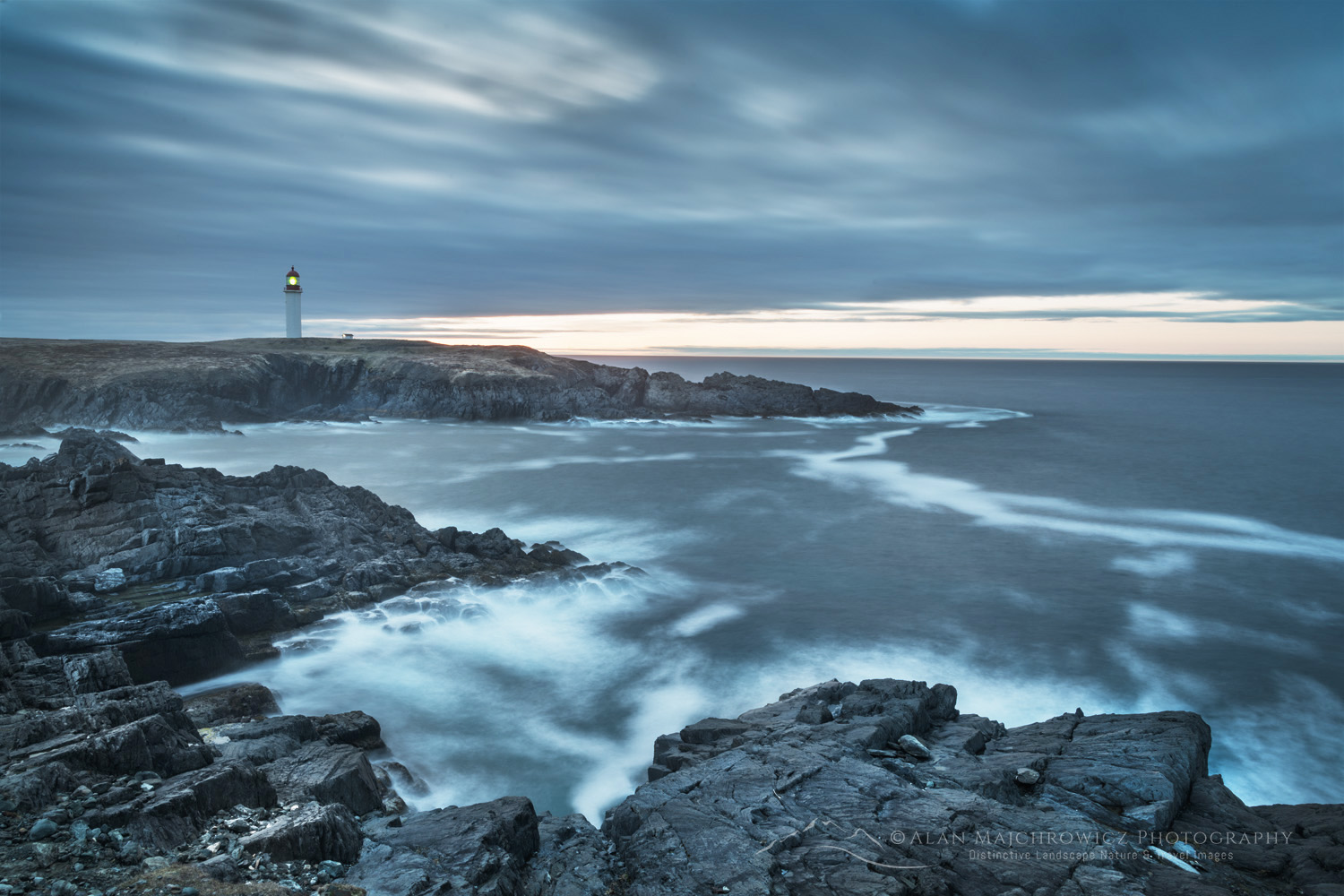
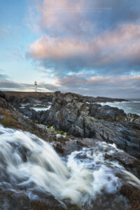
Cape Race Lighthouse on the southern end of the Avalon Peninsula. Newfoundland and Labrador Canada #80604b

Photographing the Southern Avalon Peninsula Newfoundland

Photographing the Southern Avalon Peninsula Newfoundland

Cape Race Lighthouse on the southern end of the Avalon Peninsula. Newfoundland and Labrador Canada #80604bCape Race Newfoundland #80605b  Purchase

Newfoundland and Labrador is a large Canadian Province with unique environments and ecosystems. For a photographer on their first visit, deciding where to focus their time and efforts can be a confusing and overwhelming task. The Avalon Peninsula is the most accessible part of Newfoundland, with great photographic locations throughout. And most are only a few hour’s drive from St. John’s.

On the last leg of my first trip to Newfoundland and Labrador, I visited three locations in the southern part of the Avalon Peninsula: Cape St. Mary’s Ecological Reserve, Cape Race, and Mistaken Point Ecological Reserve. Of course, there are plenty more locations on the Avalon Peninsula, but that will have to wait for future trips.

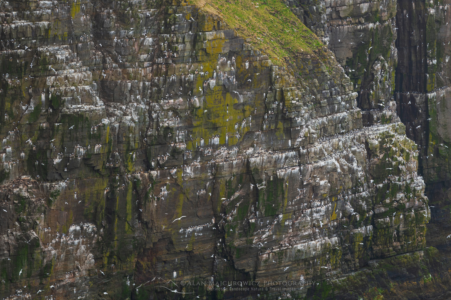
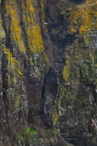
Kittiwakes (Rissa tridactyla) nesting on cliffs of Cape St. Mary’s Ecological Reserve. Newfoundland and Labrador Canada #80567Cape St. Mary’s Ecological Reserve #80567  Purchase

Cape St. Mary’s Ecological Reserve

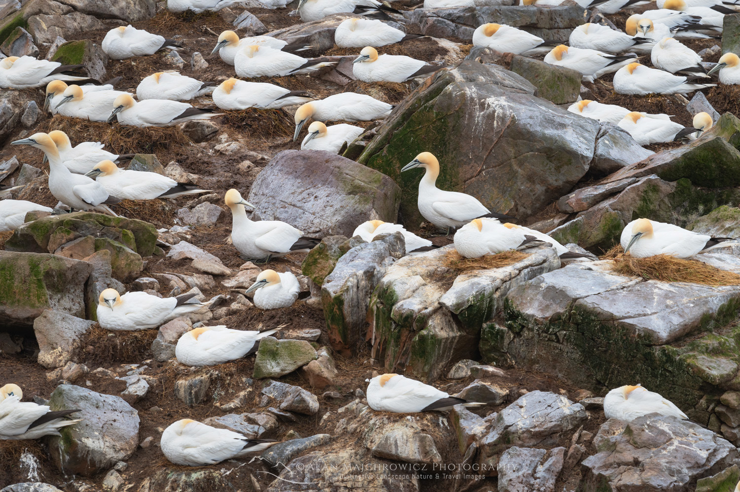
Only two hours south of St. John’s, Cape St. Mary’s Ecological Reserve is a wonderland for seabird enthusiasts and photographers. The reserve is the most accessible seabird nesting area in North America. Major colonies of northern gannets, thick-billed murres, cormorants, kittiwakes, razorbills, and more can be seen here. And if you’ve never seen large concentrations of seabirds nesting on cliffs, you are in for a major treat!

Aside from the attraction of seabirds, the high cliffs looking over the Atlantic Ocean and grassy meadows are gorgeous. The only drawback to this area is the hurricane-like wind that howls nonstop over the cliffs. The winds were so intense I almost didn’t bother hiking out to Bird Rock, where most of the nests are. Fortunately, I spoke with an interpreter at the visitor’s center, who assured me that the Bird Rock viewpoint is partially protected from the fiercest winds.

Kittiwakes (Rissa tridactyla) nesting on cliffs of Cape St. Mary’s Ecological Reserve. Newfoundland and Labrador Canada #80570Cape St. Mary’s Ecological Reserve #80570  Purchase

After a short windy hike through the grassy meadows, I arrived at Bird Rock, where the winds were more tame but still quite gusty. It was an awe-inspiring site. With so many birds nesting and flying around, my memory was taken back to an earlier trip to Iceland, where the populations of seabirds are immense and beyond counting.

Colony of Northern Gannets (Morus bassanus) nesting on Bird Rock. Cape St. Mary’s Ecological Reserve Newfoundland and Labrador Canada #80557bNorthern Gannets on Bird Rock, Cape St. Mary’s #80557b  Purchase

The viewpoint at Bird Rock is a fairly small outcropping on a cliff. Therefore, you’re limited by the lenses you have available. Being a landscape photographer, my longest lens is only 200mm. So, I couldn’t get the close portrait-like images I desired. But I did my best and thoroughly enjoyed watching the birds as long as possible.

Cape Race Lighthouse on the southern end of the Avalon Peninsula. Newfoundland and Labrador Canada #80588Cape Race Newfoundland #80558  Purchase

Cape Race

As the gannet flies, Cape Race isn’t very far from Cape St. Mary’s, but the drive was fairly long. This is due to the fjord-like nature of the southern Avalon Peninsula and the road following its contours. Cape Race is another one of those locations that makes you feel you’re at the end of the world. Also, the Marconi station at Cape Race was the first land station to answer the Titanic’s distress call in April 1912.

Cape Race Lighthouse on the southern end of the Avalon Peninsula. Newfoundland and Labrador Canada #80593Cape Race Newfoundland #80593  Purchase

Cape Race on the southern end of the Avalon Peninsula. Newfoundland and Labrador Canada #80598Cape Race Newfoundland #80589  Purchase

It’s about a 45-minute drive from the nearest town of Portugal Cove South, mostly on a gravel road. After leaving town, the terrain has a sub-arctic tundra feel despite being this far south. I’m guessing this results in incessant winds blowing over the low-lying area from the Atlantic.

The lighthouse at Cape Race was my main photography goal. But there were more opportunities among the low cliffs and sharp, jagged rocks in the surf. Unfortunately, the wind kept blowing hard, and with overcast weather,  it was challenging to take photos.

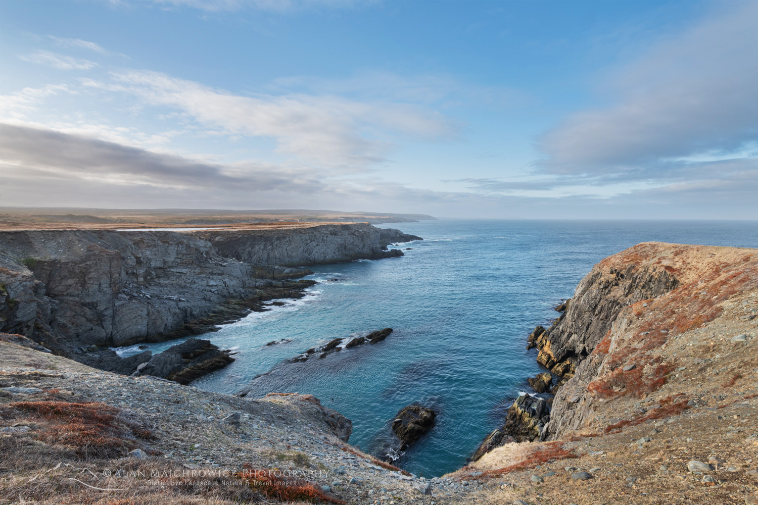
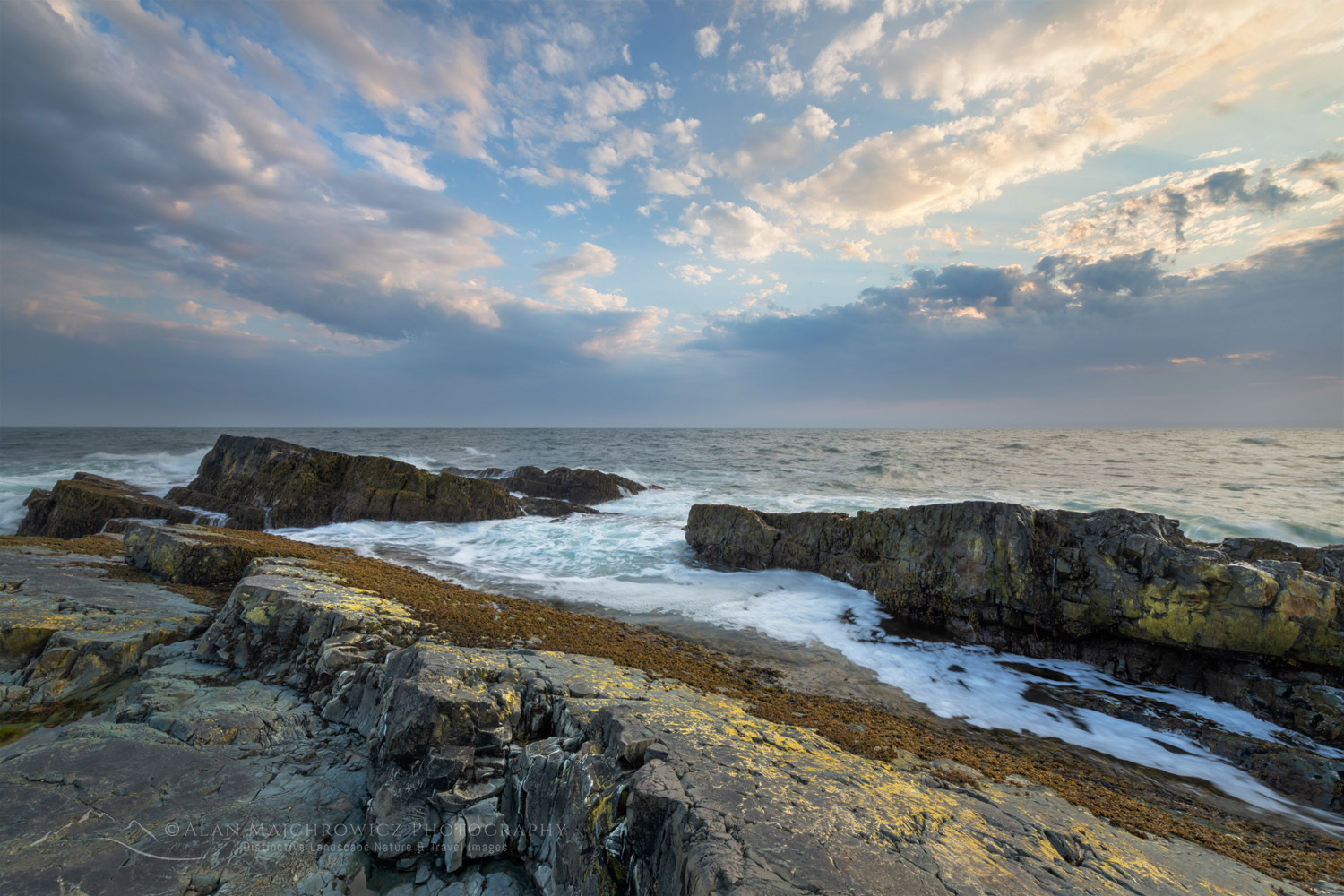
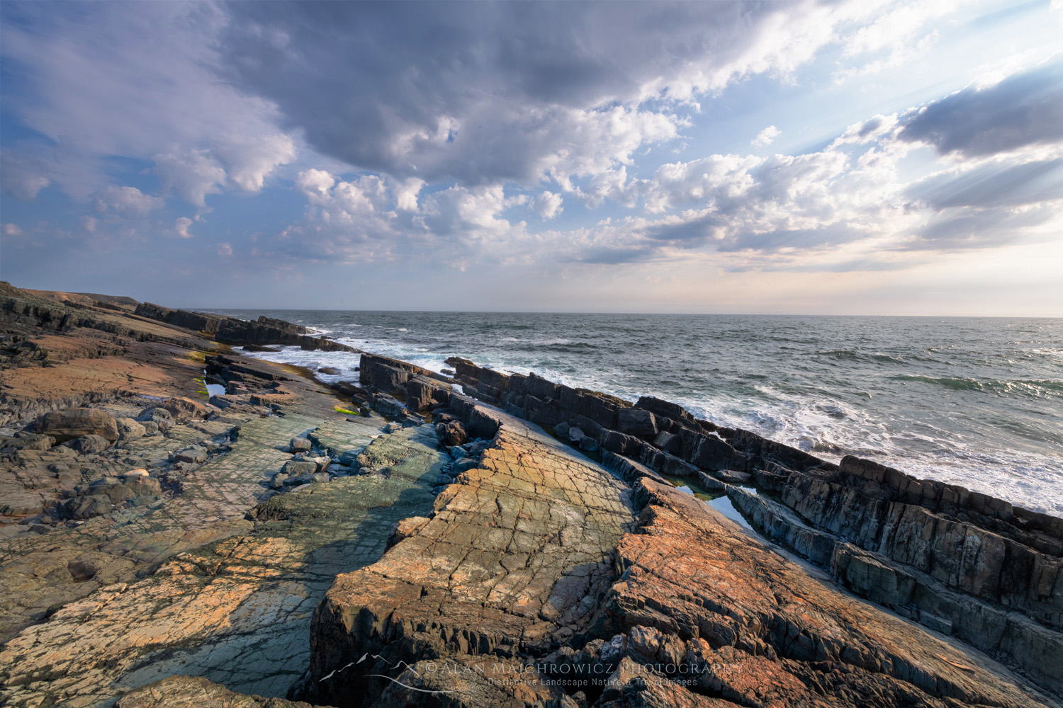
Daleys Point on the southern Avalon Peninsula. Part of the Mistaken Point Ecological Reserve and UNESCO World Heritage Site. Newfoundland and Labrador Canada #80701Daley Point Newfoundland #80701  Purchase

Mistaken Point Ecological Reserve

Along the gravel road to Cape Race is the Mistaken Point Ecological Reserve. This UNESCO World Heritage Site protects and preserves one of the most diverse and well-preserved collections of Precambrian fossils in the world. To view the fossil beds at Mistaken Point, you must reserve a spot on a guided tour. Also, the fossil protection zone encompasses the length of the coast within the reserve, within 15m of the water’s edge.

Closer to the town of Portugal Cove South, the layered and angled rock bedding displays some exciting seascape photo opportunities.

Daleys Point on the southern Avalon Peninsula. Part of the Mistaken Point Ecological Reserve and UNESCO World Heritage Site. Newfoundland and Labrador Canada #80695Daley Point Newfoundland #80695  Purchase

Creative Tips for Photographing the Southern Avalon Peninsula:

Allow enough time: One of the most important considerations when planning a photography trip to any location is time.  Good photography rarely results from a hurried schedule. Chasing light is stressful, stay in one place and let the light come to you!

Considering your most important subject matter and locations, always try to stay at least two days.  This will give you time for scouting, and also be present for several changes in lighting conditions.

Scouting: Scouting is an essential technique for better photography. Always scout out the best locations in advance by spending the day thoroughly exploring the area. Note the best spots and how long it will take to reach them in the morning and evening golden hours.

Daleys Point on the southern Avalon Peninsula. Part of the Mistaken Point Ecological Reserve and UNESCO World Heritage Site. Newfoundland and Labrador, Canada #80641Daley Point Newfoundland #80695  Purchase

Practical Tips for Photographing the Southern Avalon Peninsula:

When to go: Late spring through fall are all great times. However, May through early July are the best months for iceberg viewing. The landscape isn’t green until the beginning to middle of June.

Seasonal Closures: After the weather, my next introduction to Newfoundland was seasonal closures. The official summer/tourist season doesn’t begin here until June 1.

Nearly every provincial park, historic site, visitor’s center, campground, restroom, gift shop, etc., is shut tight until then. Of course, there are exceptions, but they are far and few between. On the other hand, all of this guarantees that you’ll escape the summer crowds and have most places all to yourself!

Lodging: I nearly always car camp on my photo tours, so I can’t say much about lodging. However, there are only a few large towns/cities in the province, so you’ll most likely be looking for lodging in small towns with limited accommodations. Book very early!

Camping: I didn’t find many campgrounds, and provincial and national parks were still closed. However, free camping is available anywhere that isn’t private property. This mainly consists of gravel roads on Crown Land and at trailheads.

Driving: Roads are generally in good shape. But I found that even main roads can be rough in some areas.

Rest Areas: There are none! I have to include this since it was such a shock to me. Even driving from St. John’s on the Trans-Canada Highway to the other end of the province there were no rest areas or port-a-potty’s. Secondary and backroads? Forget about it! Keep that in mind when starting in the morning after drinking a big mug of coffee, or that breakfast burrito!

Kittiwakes (Rissa tridactyla) nesting on cliffs of Cape St. Mary’s Ecological Reserve. Newfoundland and Labrador Canada #80578Cape St. Mary’s Ecological Reserve #80578  Purchase

To see more Newfoundland and Labrador images check out these galleries:
Newfoundland and Labrador 1
Newfoundland and Labrador 2

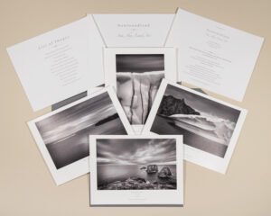
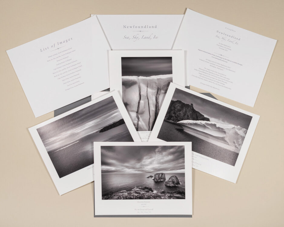
Newfoundland Fine Art Black and White FolioNow available:  Newfoundland Sea, Sky Land, Ice Fine Art Portfolio

Other posts in this series:
1 Photographing in Newfoundland and Labrador/Cape Spear
2 Photographing Bonavista Peninsula Newfoundland
3 Photographing Twillingate and Fogo Island Newfoundland
4 Photographing the Great Northern Peninsula and Labrador

Learn about how to protect the places we love to photograph
Visit the Nature First Website
Nature First the alliance for responsible nature photography


All photos appearing in Photographing the Southern Avalon Peninsula Newfoundland are available for Commercial Licensing and Fine Art Prints. Click on any image to purchase, or contact me for more info!
Photographing the Southern Avalon Peninsula Newfoundland

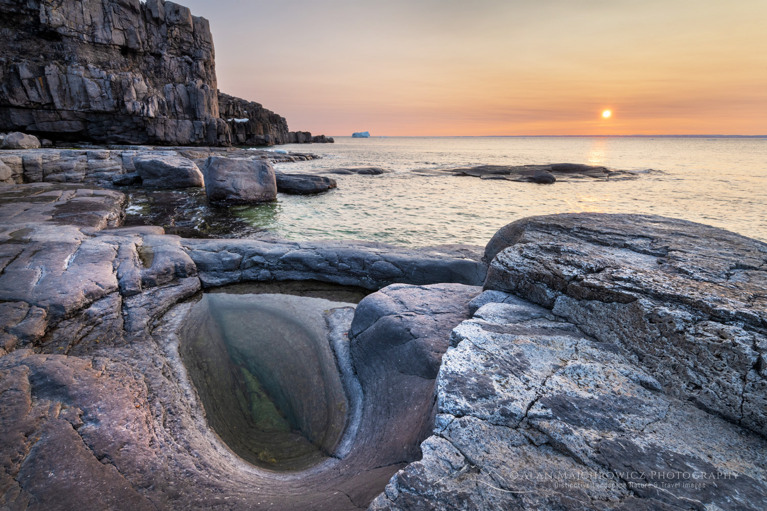
Sunset over Cape Norman on the Great Northern Peninsula. Cape Norman is the northernmost point of insular Newfoundland. Newfoundland and Labrador Canada #80455

Photographing The Great Northern Peninsula and Labrador

Photographing The Great Northern Peninsula and Labrador

Sunset over Cape Norman on the Great Northern Peninsula. Cape Norman is the northernmost point of insular Newfoundland. Newfoundland and Labrador Canada #80455Cape Norman Newfoundland #80455  Purchase

A trip to Newfoundland can be considered getting away from it all. But photographing the Great Northern Peninsula and Labrador is getting away from it all on an entirely different level. To begin with, the drive from St John’s to L’Anse aux Meadows is an 11-hour 1067 km (663 miles) trip. If continuing to Labrador, add another hour for the ferry ride across the Strait of Belle Isle.

For landscape and nature photographers, photographing the Great Northern Peninsula and Labrador is an opportunity to get far off the beaten path and photograph some unique subject matter. And you won’t be competing with crowds of tourists vying for the best selfies! You will be nearly alone while photographing some of the rawest natural beauty in Atlantic Canada.

This post will detail a few locations from my first visit to the Great Northern Peninsula and Labrador. However, there are many more places to explore than described here.

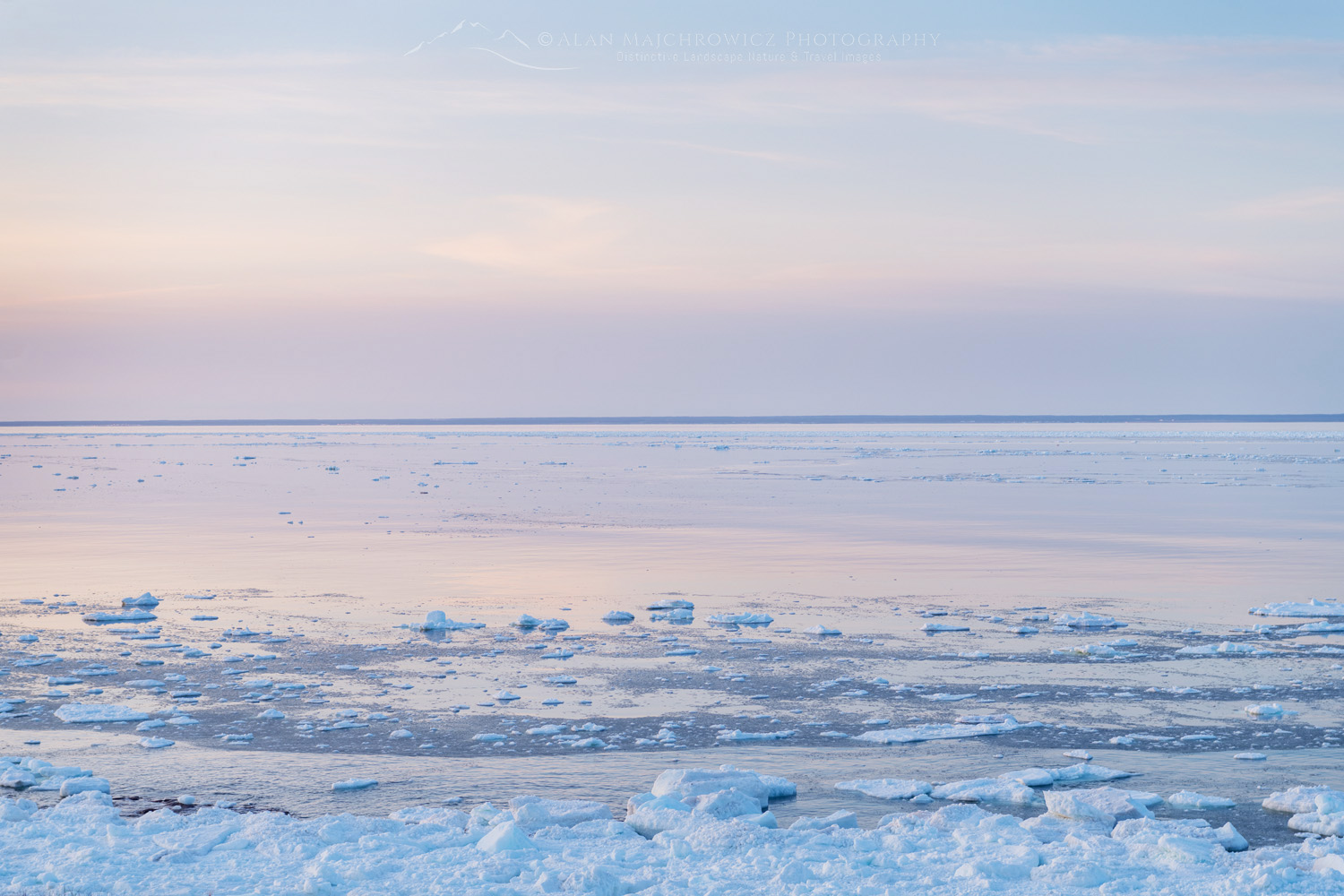
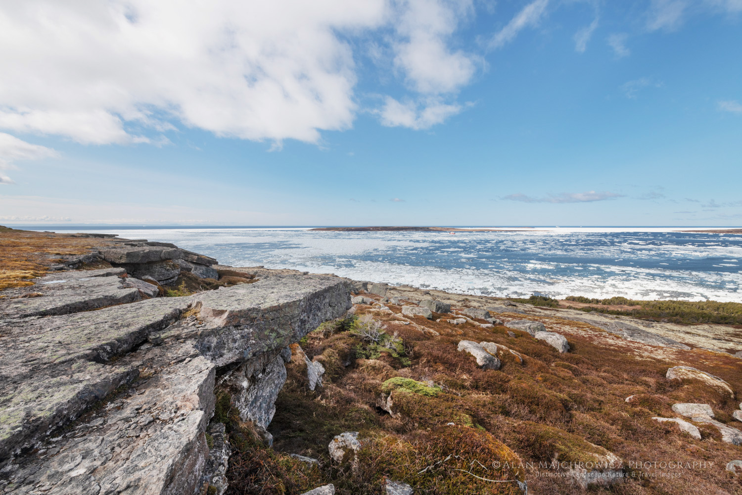
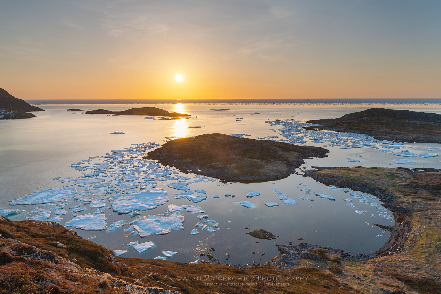
Pack ice in Strait of Belle Isle along the south coast of Labrador. Newfoundland and Labrador Canada #80328Strait of Belle Isle sea ice #80328  Purchase

The Great Northern Peninsula

Like an elongated thumb, the Great Northern Peninsula juts northward from western Newfoundland. The predominant feature on the peninsula is the Long Range Mountains. This range is considered the geologic northern extremity of the Appalachian Mountains. Gros Morne National Park encompasses some of the most rugged parts of the Long Range Mountains. On my trip, it was too early in the season to visit this park. So, unfortunately, I do not have any images or info from the park to share here.

Further north, the Long Range dwindles to low hills sprinkled with numerous lakes and marshes. Here, the boreal forest gives way to a somewhat sub-arctic environment. And, like most other coastal areas in Newfoundland, there are many small fishing villages. The largest town and hub of the area is St. Anthony. Most amenities can be found here, along with iceberg and whale watching tour companies.

Cape Norman on the Great Northern Peninsula, is the northernmost point of insular Newfoundland. Newfoundland and Labrador Canada #80388Cape Norman Newfoundland #80388  Purchase

Cape Norman

One of my trip goals was to photograph the most northerly point of Newfoundland. Maps showed that this would be Cape Norman, and fortunately, there was also some interesting subject matter there.

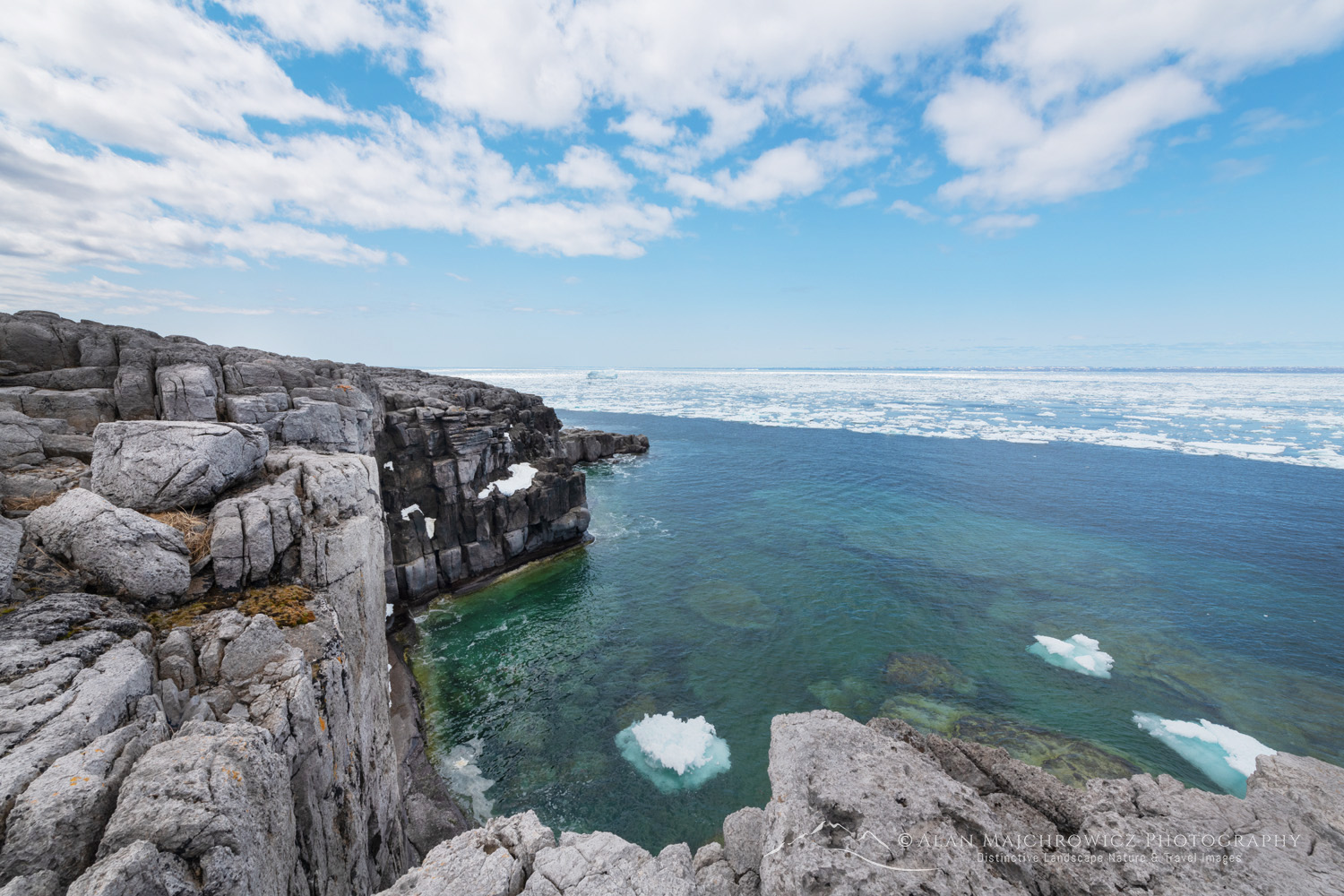
Cape Norman is a barren headland of limestone cliffs and wild karst formations. The entire area resembles locations much further north in the Canadian Arctic. Situated on top of the cliffs is the Cape Norman Lighthouse. The lighthouse is mildly interesting but not as photogenic as other lighthouses in Newfoundland.

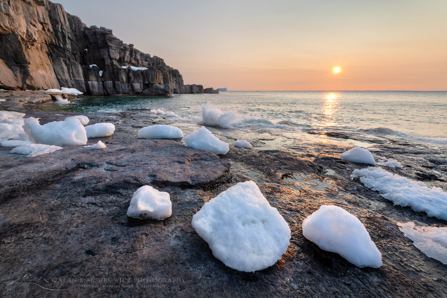
Sunset over Cape Norman on the Great Northern Peninsula. Cape Norman is the northernmost point of insular Newfoundland. Newfoundland and Labrador Canada #80414Cape Norman Newfoundland #80414 Purchase

Sunset over Cape Norman on the Great Northern Peninsula. Cape Norman is the northernmost point of insular Newfoundland #80436Cape Norman Newfoundland #80436 Purchase

The best subject matter at Cape Norman is the cliffs and wave-eroded slabs of rock along the surf edge. Ample compositions can be found both on the top of the headland and at the water’s edge. But if your time is limited, the surf slabs would be the better option. And, like other areas in Newfoundland, an early-season visit has the added attraction of icebergs and sea ice.

There are plenty of places for random camping around Cape Norman, so you could easily spend a few days here exploring and photographing in different lighting conditions. However, be ready to stay in windy and exposed conditions. The nearest town is St. Anthony, about an hour’s drive away, so stock up on supplies and gas.

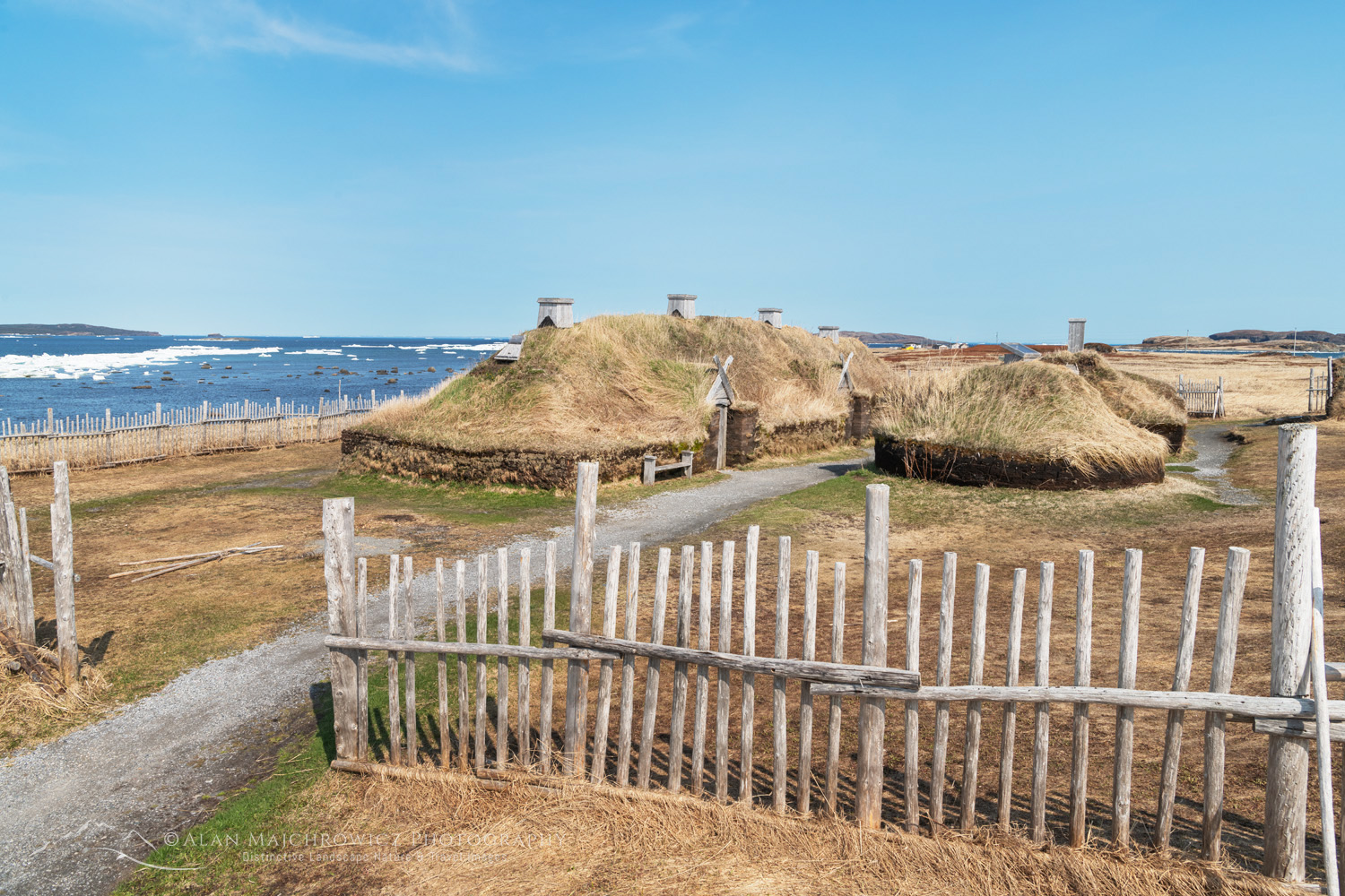
Reconstructed colony of L’Anse aux Meadows National Historic Site. Sitting at the tip of the Great Northern Peninsula of the island of Newfoundland, the remains of an 11th-century Viking settlement are evidence of the first European presence in North America #80153L’Anse aux Meadows Newfoundland #80513  Purchase

L’Anse aux Meadows

Possibly, the main attraction on the Great Northern Peninsula is L’Anse aux Meadows National Historic Site. Here are the remains and a reconstruction of an 11th-century Viking settlement, evidence of the first European presence in North America. After getting this far north in Newfoundland, it would be a shame to miss out on such an important historical attraction.

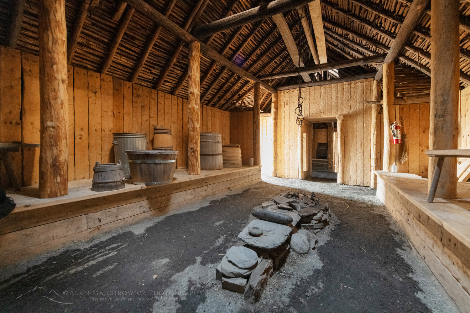
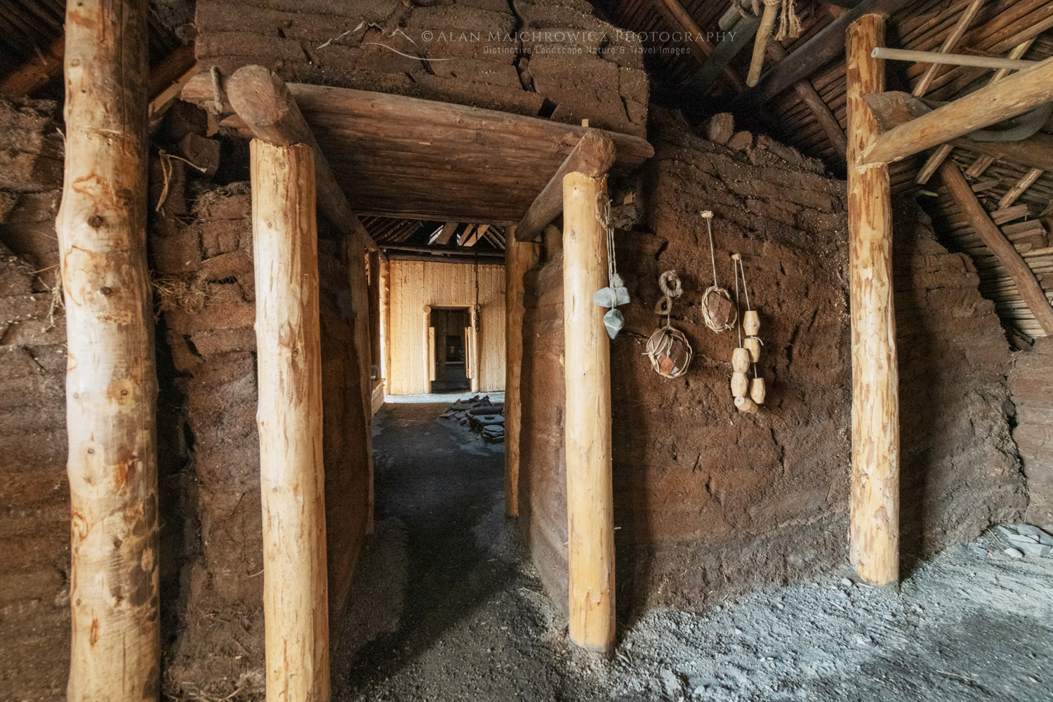
Interior of reconstructed lodgings at L’Anse aux Meadows National Historic Site. Sitting at the tip of the Great Northern Peninsula of the island of Newfoundland, the remains of an 11th-century Viking settlement are evidence of the first European presence in North America. #80533L’Anse aux Meadows Newfoundland #80533  Purchase

Interior of reconstructed lodgings at L’Anse aux Meadows National Historic Site. Sitting at the tip of the Great Northern Peninsula of the island of Newfoundland, the remains of an 11th-century Viking settlement are evidence of the first European presence in North America #80526L’Anse aux Meadows Newfoundland #80526 Purchase

While the site is more of an educational stop, photographers can make some decent images here if the lighting is right. It’s also best to visit in late spring or summer when the surroundings green up. On my visit, everything was still winter brown. Also, like most everything else in Newfoundland, the informative visitor’s center doesn’t open until June 1. But you can still freely roam around the area and explore the fascinating reconstructed Viking village.

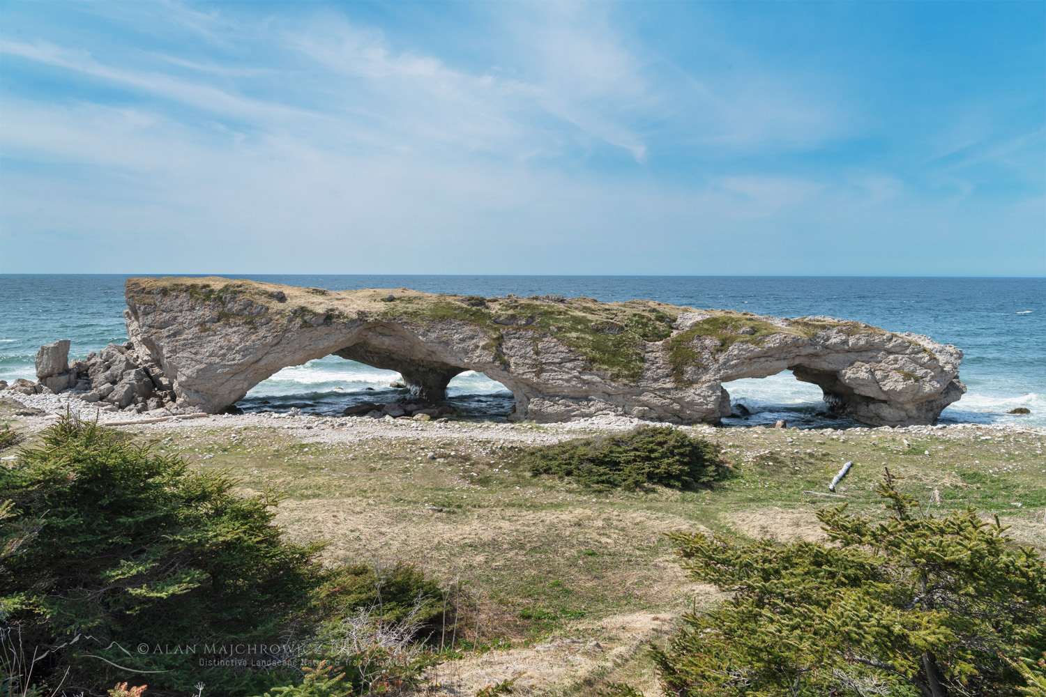
Arches Provincial Park on the Great Northern Peninsula. Newfoundland and Labrador Canada #80550Arches Provincial Park Newfoundland #80550  Purchase

Arches Provincial Park

Further south on the Great Northern Peninsula, along the Gulf of St. Lawrence coast, is Arches Provincial Park. But don’t drive all the way here expecting to see something akin to the famous Arches National Park in Utah.

This tiny park is more like a wayside stop to one small but interesting arch formation on the beach. It’s worth stopping on the way to other destinations, but photographers will need some dynamic light and surf conditions to create good images.

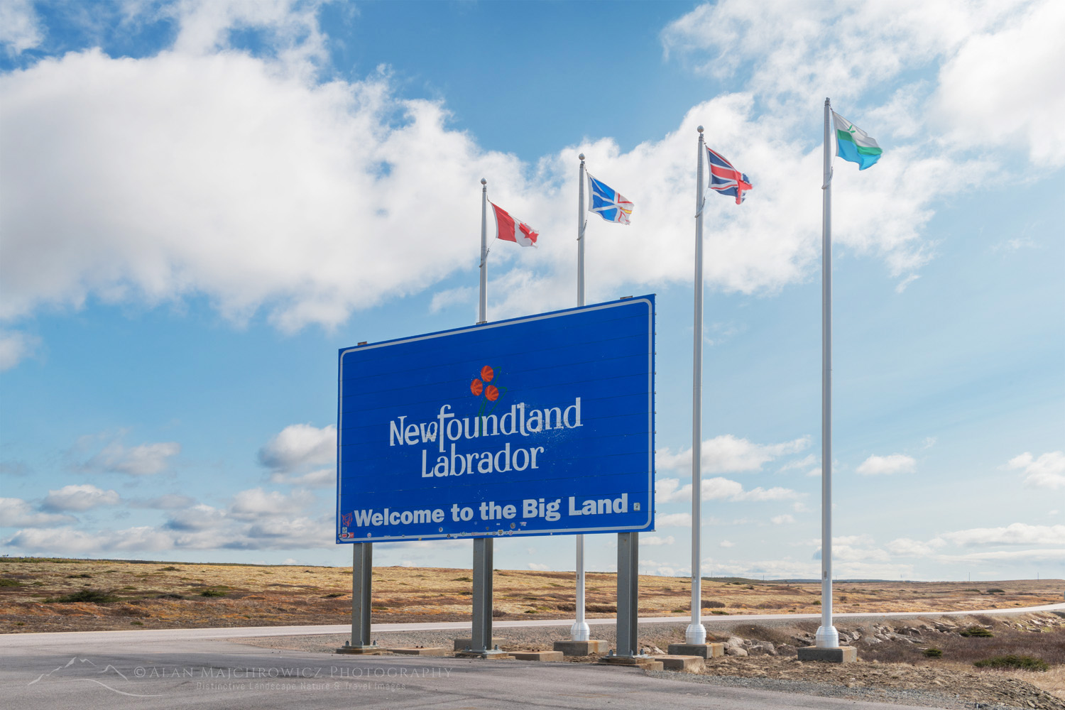
Labrador welcome sign

Labrador

For those who have traveled to the top of the Great Northern Peninsula and have time available, a trip to Labrador is a must. Labrador, or The Big Land, is a raw and wild land rich in history and culture. However, precious little of it is accessible by car. Only the extreme southeastern part of its coast has paved roads. The rest of the coast and its few settlements are accessible by boat, plane, or ferry, and only in the summer months.

Labrador coast looking out to Strait of Belle Isle Newfoundland and Labrador Canada #80219Labrador Coast #80219  Purchase

The most dramatic landscapes in Labrador are in Torngat National Park, way up on the northern tip of the province. Although to tour and photograph this park, you will need a fat bank account and a serious sense of adventure.

Battle Harbour is about at the limit north for the average traveler and photographer. This historic island village is accessible by ferry, and accommodations must be booked in advance. And, again, early-season visitors will be out of luck, as their operating season begins in June. That leaves a short drive from the Ferry terminal at Blanc-Sablon north to Red Bay.

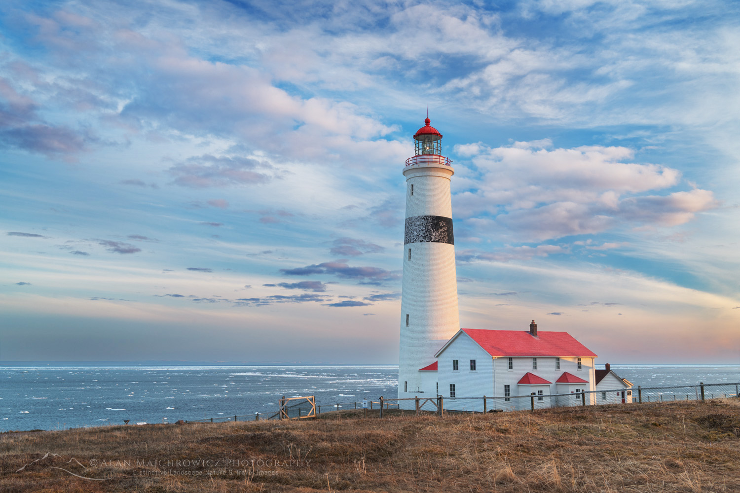
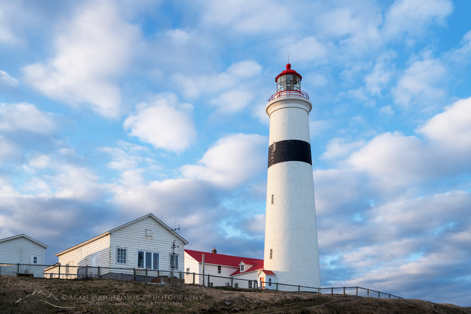
Point Amour Lighthouse Provincial Historic Site on the south coast of Labrador, Newfoundland and Labrador Canada #80291Point Amour Lighthouse Labrador #80291  Purchase

 Point Amour Lighthouse and Coastal Drive

The Point Amour Lighthouse is perhaps the main attraction on this short coastal drive. It’s one of the more photogenic lighthouses in Newfoundland and has plenty of history.

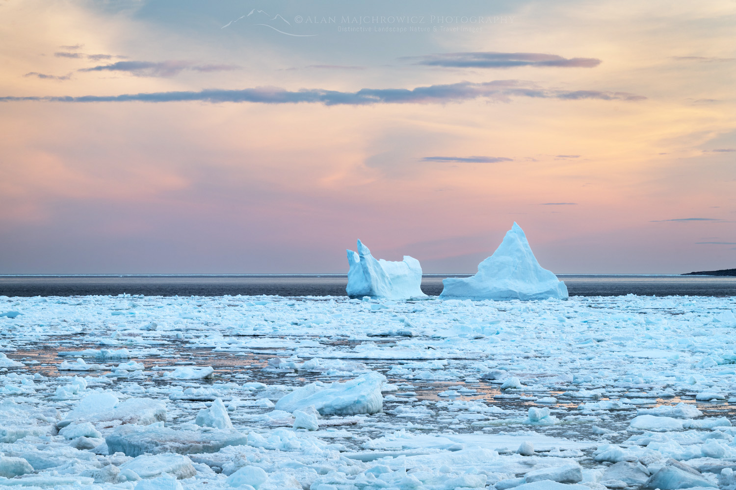
On my early season visit, I was treated to more icebergs and sea ice to accentuate the compositions. But, again, the surrounding landscape was still winter brown.

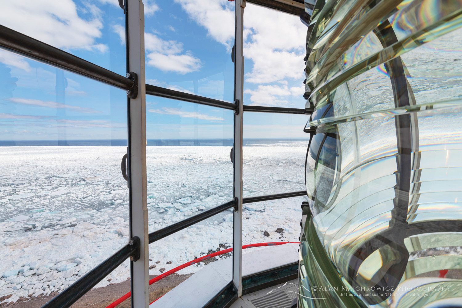
View from top of Point Amour Lighthouse Provincial Historic Site on the south coast of Labrador, Newfoundland and Labrador Canada #80238Point Amour Lighthouse Labrador #80238  Purchase

Point Amour Lighthouse Provincial Historic Site on the south coast of Labrador, Newfoundland and Labrador Canada #80274Point Amour Lighthouse Labrador #80274  Purchase

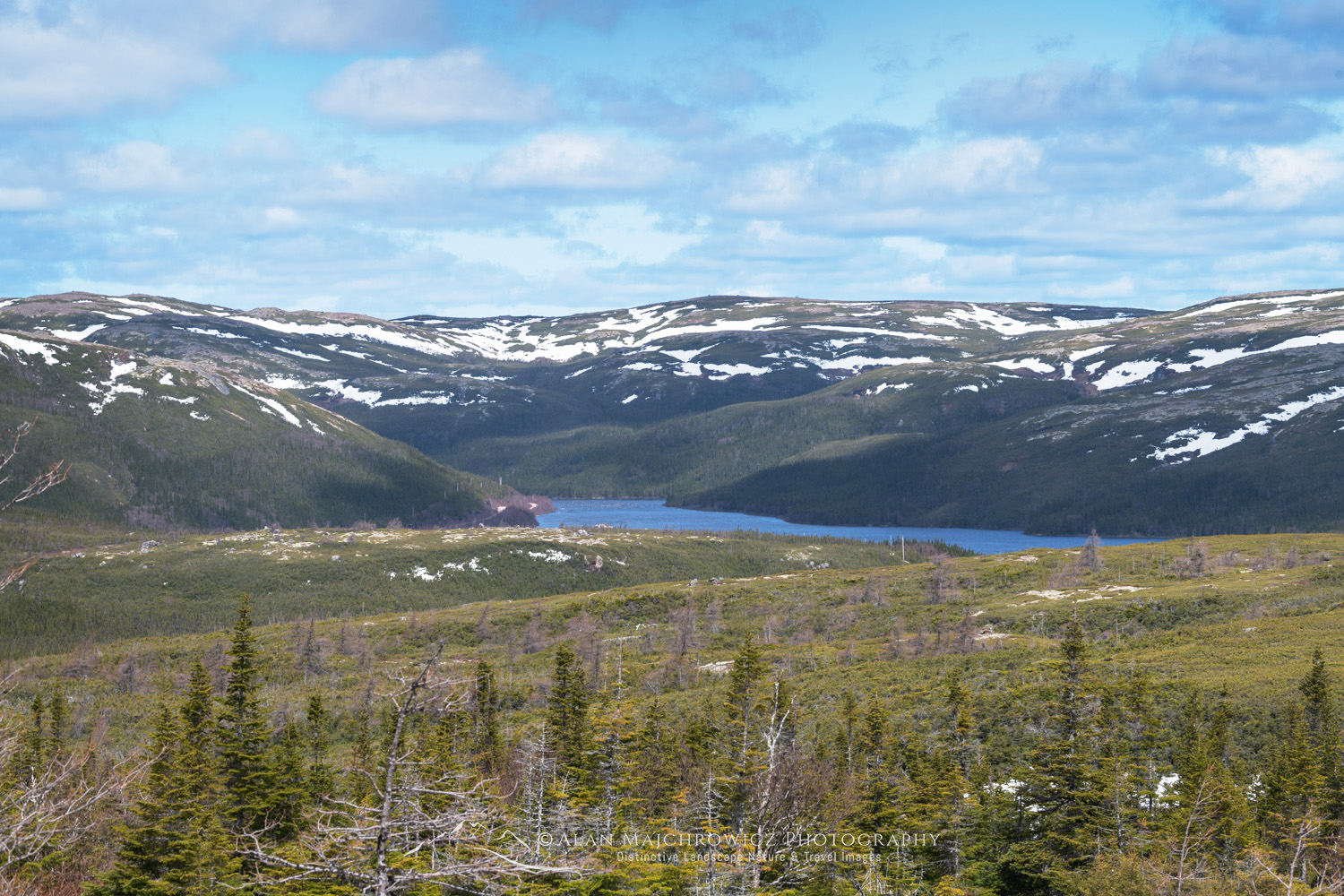
North of L’Anse Amour, the road veers inland along the Pinware River. A scenic viewpoint about halfway to Red Bay is worth a brief stop. The view looks west past the Pinware River to the forbidding interior wilderness of Labrador. I imagined that this is what the landscape would look like in an unbroken wilderness as far as Hudson’s Bay, a few thousand kilometers distant.

Pinware River Labrador Canada #80234Pinware River View Labrador #80234  Purchase

To get a better sense of the mystique of Labrador, which grips me to this day, I highly recommend reading these books.
The Lure of the Labrador Wild;  Dillon Wallace 1905
Where the Falcon Flys;  Adam Shoalts 2023

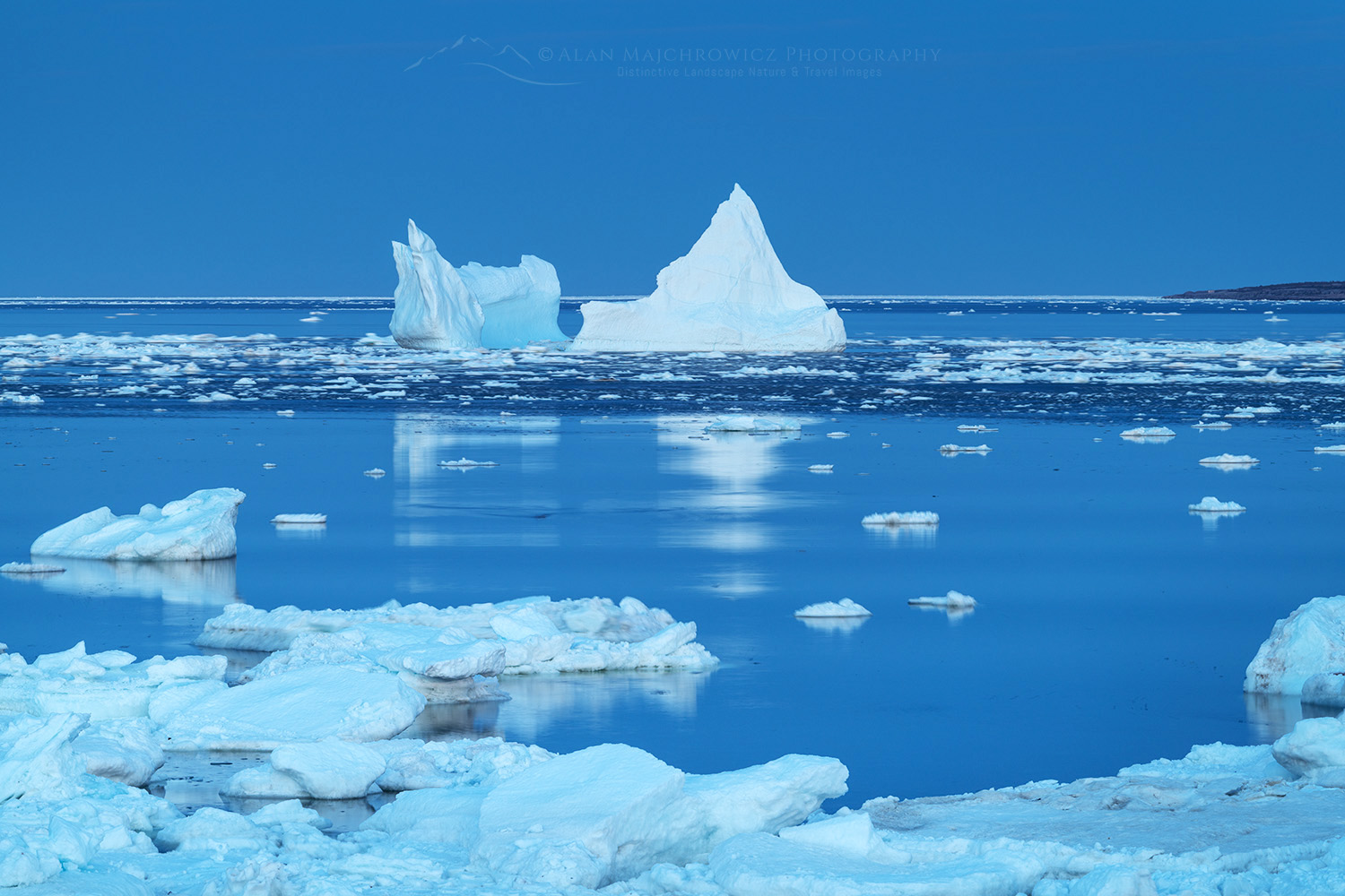
Iceberg and pack ice in Strait of Belle Isle glowing in evening light. South coast of Labrador. Newfoundland and Labrador Canada #80294Strait of Belle Isle Iceberg #80294  Purchase

Essential Tips:

  • Coastal photography on the Great Northern Peninsula and Labrador greatly benefits from the presence of icebergs and sea or pack ice.
  • Be prepared to be self-reliant, especially in the early season. Groceries and gas stations may be far apart.
  • Iceberg and whale viewing tours are available in the town of St. Anthony.
  • Coastal areas on the Great Northern Peninsula and Labrador can be very windy and raw. Dress appropriately and use extreme caution near the cliffs.
  • Vegetation may not green up until mid-June.
  • The St. Barbe-Blanc Sablon ferry requires reservations. Early in the season, ferry crossings can be delayed or canceled due to concentrations of heavy sea ice. Click the image below to watch a short video of the crossing!

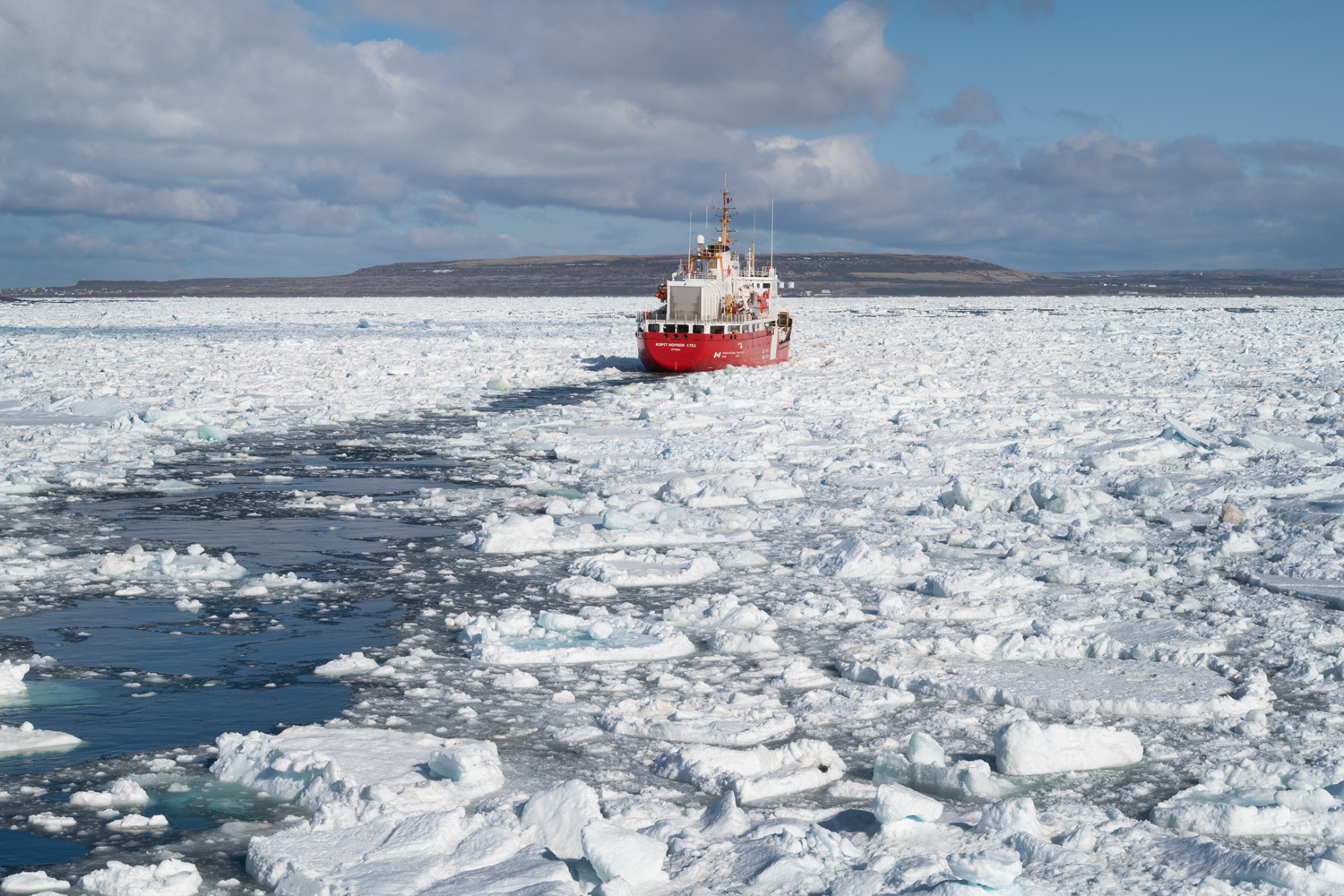
Canadian Coast Guard icebreaker in Strait of Belle Isle Newfoundland and Labrador Canada #80203Video: Sea ice in the Strait of Belle Isle #80203 

Tips for  Photographing the Great Northern Peninsula and Labrador

Creative Tips:

Allow enough time: One of the most important considerations when planning a photography trip to any location is time.  Good photography rarely results from a hurried schedule. Chasing light is stressful, stay in one place and let the light come to you!

For your most important subject matter and locations, always try to stay at least two days.  This will give you time for scouting, and also be present for several changes in lighting conditions.

Scouting: Scouting is an essential technique for better photography. Always scout out the best locations in advance by spending the day thoroughly exploring the area. Make notes of the best spots and how long it will take to reach them in the morning and evening golden hours.

Practical Tips:

When to go: Late spring through fall are all great times. However, May through early July are the best months for iceberg viewing.

Seasonal Closures: After the weather, my next introduction to Newfoundland was seasonal closures. The official summer/tourist season doesn’t begin here until June 1.

Nearly every provincial park, historic site, visitor’s center, campground, restroom, gift shop, etc., is shut tight until then. Of course, there are exceptions, but they are far and few between. On the other hand, all of this guarantees that you’ll escape the summer crowds and have most places all to yourself!

Lodging: I nearly always car camp on my photo tours, so I can’t say much about lodging. However, there are only a few large towns/cities in the province, so you’ll most likely be looking for lodging in small towns with limited accommodations. Book very early!

Camping: I didn’t find many campgrounds anywhere, aside from provincial and national parks, which were closed. However, free camping is available just about anywhere that isn’t private property. This mainly consists of gravel roads on Crown Land and trailheads.

Driving: Roads are generally very good. But I found that even main roads can be rough in some areas.

Rest Areas: There are none! I have to include this since it was such a shock to me. Even driving from St. John’s on the Trans-Canada Highway to the other end of the province there were no rest areas or port-a-potty’s. Secondary and backroads? Forget about it! Keep that in mind when starting in the morning after drinking a big mug of coffee, or that breakfast burrito!

Pack ice in the Strait of Belle Isle along the south coast of Labrador. Newfoundland and Labrador Canada #80320bStrait of Belle Isle sea ice #80320b  Purchase

To see more of the Great Northern Peninsula and Labrador, check out these galleries:
Newfoundland and Labrador 1
Newfoundland and Labrador 2

Newfoundland Fine Art Black and White FolioNow available:  Newfoundland Sea, Sky Land, Ice Fine Art Portfolio

Other posts in this series:
Photographing in Newfoundland and Labrador/Cape Spear
Photographing Bonavista Peninsula Newfoundland
Photographing Twillingate and Fogo Island Newfoundland
Photographing the Southern Avalon Peninsula Newfoundland

Iceberg and pack ice in Strait of Belle Isle, South coast of Labrador. Newfoundland and Labrador Canada #80301Strait of Belle Isle Iceberg #80301  Purchase

Learn about how to protect the places we love to photograph
Visit the Nature First Website
Nature First the alliance for responsible nature photography


All photos appearing in Photographing the Great Northern Peninsula and Labrador are available for Commercial Licensing and Fine Art Prints. Click on any image to purchase, or contact me for more info!
Photographing the Great Northern Peninsula and Labrador

Fogo Island sunset from East Tickle, Newfoundland and Labrador Canada #80143

Photographing Twillingate and Fogo Island Newfoundland

Photographing Twillingate and Fogo Island Newfoundland

Fogo Island sunset from East Tickle, Newfoundland and Labrador Canada #80143Fogo Island sunset #80143  Purchase

This post is the third of five posts about photographing in Newfoundland and Labrador
Twillingate and Fogo Island are undoubtedly the focal points for many visitors to Canada’s Atlantic Province of Newfoundland and Labrador. These two destinations in north-central Newfoundland embody everything that attracts people to Newfoundland. In addition to picturesque authentic towns, rugged coastlines, whales, and icebergs. they have an “away from everything” look and feel to them. For photographers, Twillingate and Fogo Island Newfoundland is a dream come true.

Red Fishing Stages near Twillingate, Newfoundland and Labrador Canada #79861Twillingate Newfoundland  #79861  Purchase

Twillingate

If you could choose only one destination to photograph in Newfoundland, I think Twillingate would be it. There is enough subject matter here to last a photographer an entire season! In spring and early summer, there are icebergs. In summer there is whale watching. And, of course, throughout the year there are beautiful coastal views and colorful fishing villages. I recommend at least three days to explore and photograph this very special area.

The town of Twillingate is about a five-hour drive from St. John’s. So plan accordingly if you’re flight arrives in St. John’s later in the day. After settling in it’s time to do some location scouting!

The area is divided into North and South Twillingate Islands. Prime locations on both islands are a short distance apart. So it’s possible to photograph both islands on the same day. During my first visit, I was able to photograph only the more well-known locations, several of which I describe here.

Tabular iceberg near Twillingate, Newfoundland and Labrador Canada #79749Tabular Iceberg off North Twillingate Island #79749  Purchase

Long Point Lighthouse Newfoundland and Labrador Canada #79844Long Point Lighthouse North Twillingate Island #79844  Purchase

North Twillingate Island

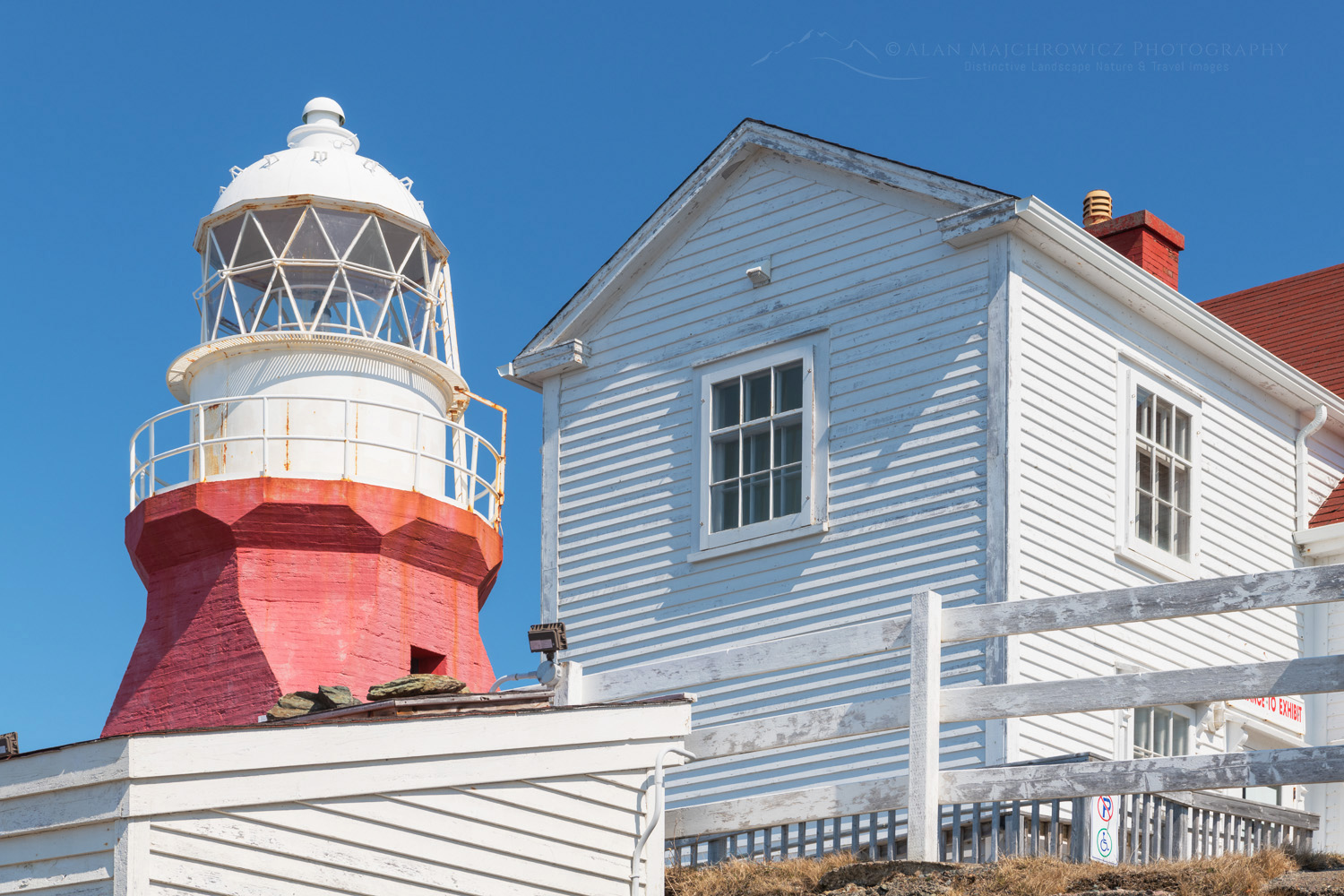
First, take the short drive from town up to the Long Point Lighthouse on North Twillingate Island. The view from the lighthouse is spectacular and will allow you to see if there are any icebergs or pack ice in the vicinity. The lighthouse itself and the keeper’s house are very scenic. But, unfortunately, it’s difficult to take decent photos of it. However, this is a great spot to photograph the open Atlantic in dramatic light, especially if there is sea ice or bergs around.

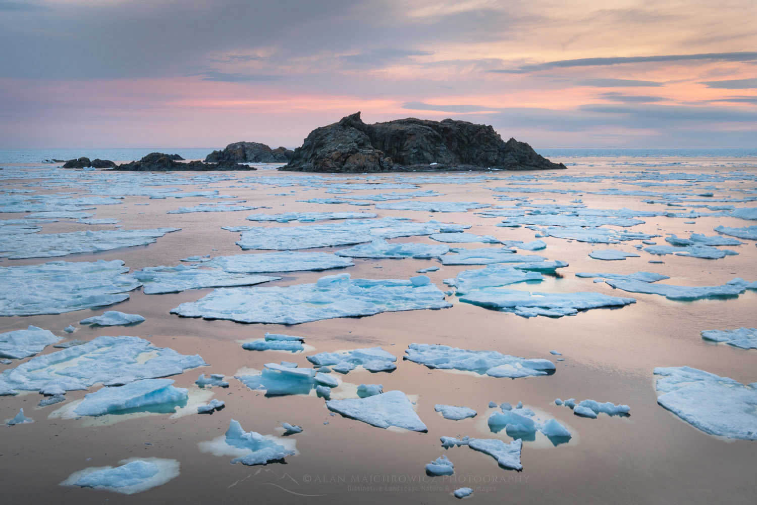
Twilight over sea ice in Sleepy Cove Newfoundland and Labrador Canada #80042Sea Ice in Sleepy Cove Newfoundland #80042  Purchase

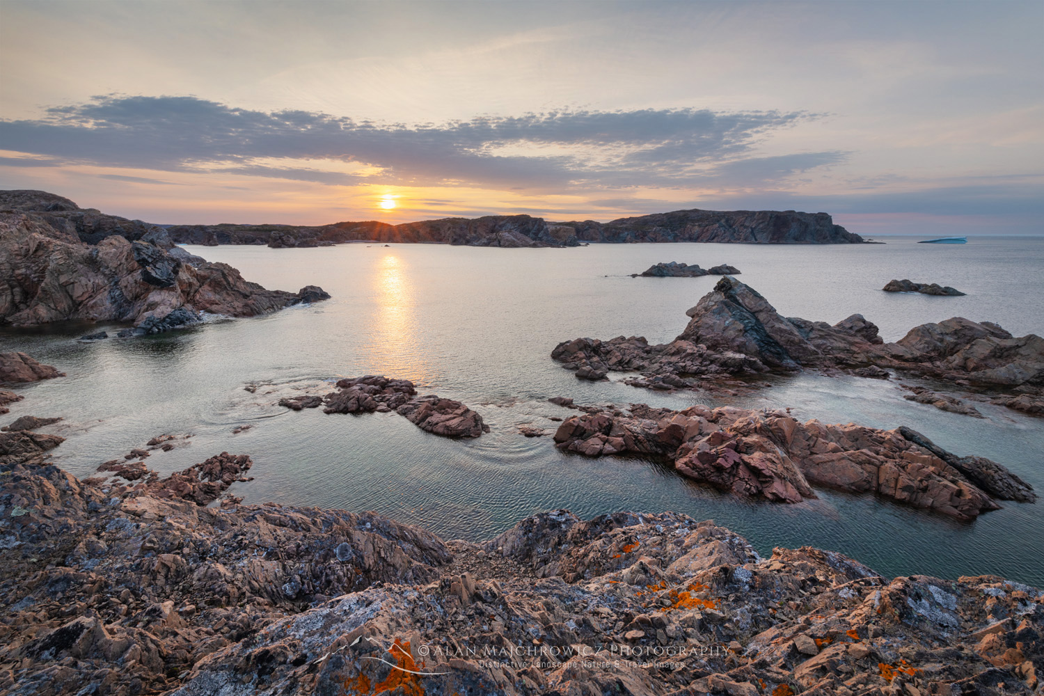
The next stop is nearby Crow Head and Sleepy Cove. This is a very scenic cove with hiking trails that take you to more views and other rocky coves. I highly recommend scouting the area and photographing here during the golden hours.

There are more hiking trails all along the north edge of North Twillingate. A quick look at a map or satellite picture of the area will reveal lots of secret coves to explore.

Sunset at Spiller's Cove, Newfoundland and Labrador Canada #80029Spiller’s Cove South Twillingate Island Newfoundland #80029  Purchase

South Twillingate Island

This island is by far the bigger of the two Twillingate islands. Some of the best areas for photography are along its northern headlands and coves. Arguably the most scenic is Spiller’s Cove. Not to be confused with Spillars Cove on the Bonavista Peninsula. Although both spellings are interchangeable, adding to the confusion. The drive to Spillars Cove from the town of Twillingate is also very scenic in itself, as you pass by numerous colorful fishing stages and homes.

Twilight at Spiller's Cove, Newfoundland and Labrador Canada #79938Spiller’s Cove South Twillingate Island Newfoundland #79938b  Purchase

Spiller's Cove, Newfoundland and Labrador Canada #80009Spiller’s Cove South Twillingate Island Newfoundland #80009  Purchase

Rockcut Twillingate Trails has created numerous well-maintained trails to the most scenic spots in this area, including Spillars Cove. I highly recommend thoroughly scouting out the entire length of the Spillers Cove trail in advance. There are numerous sea stacks and changing views which offer plenty of spectacular photo opportunities.

Tour boat Twillingate Newfoundland #79840Tour boat off Long Point Newfoundland #79840  Purchase

Iceberg and Whale Watching Tours

The chance to see and photograph icebergs or whales up close is a rare and thrilling experience. Outside of incredibly expensive trips to the Arctic or Antarctica, there aren’t many opportunities. Newfoundland brings iceberg viewing within reach to the average traveler.

Tabular iceberg near Twillingate, Newfoundland and Labrador Canada #79805bTabular Iceberg Twillingate Newfoundland #79805  Purchase

Throughout Newfoundland, there are many choices for iceberg and whale watching tours. During my visit to Twillingate, I chose Iceberg Quest. My tour was very enjoyable, and I came back with many new iceberg images. The tour operators went out of their way to make sure everyone had plenty of photo ops.

Iceberg in Spiller's Cove Newfoundland and Labrador Canada #79810Iceberg Twillingate Newfoundland #79810  Purchase

Tips for Photographing on Iceberg Tours:

  • First, make sure to check and see if there are any decent bergs in the area. Always check Iceberg Finder for daily updates on where the icebergs are.
  • Tour operators generally take you to bergs close to shore. On my visit, there were a couple of impressive icebergs further out near the pack ice. They were too far and we didn’t get to photograph them.
  • If you go too early in the season, tour companies may not be operating. Although I was in Twillingate in mid-May, the harbor became ice-free only a few days earlier. So, my tour was one of the first of the season.
  • Dress warmly! Once you get out on the water it can get very chilly.
  • Wear a camera strap. Passengers are always hustling about on the deck to get a good photo. It’s very easy to get bumped and lose your camera overboard.
  • Always use vibration reduction on your lens. Tripods are not practical on the boat.

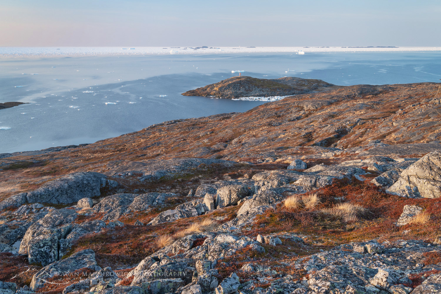
Pack ice and icebergs off the coast of Fogo Island Newfoundland and Labrador Canada #80152Lighthouse Island Newfoundland #80152  Purchase

Fogo Island

Fogo Island is one of the premier destinations in Newfoundland. It is a wild and windswept island with an almost sub-arctic look and feel of more northerly locations in Labrador. Fogo is home to numerous artists’ studios and a distinctive world-class hotel. This small island also has numerous coastal hiking trails, colorful villages, fishing stages, and cultural attractions. Iceberg and whale-watching tours are also available on Fogo.

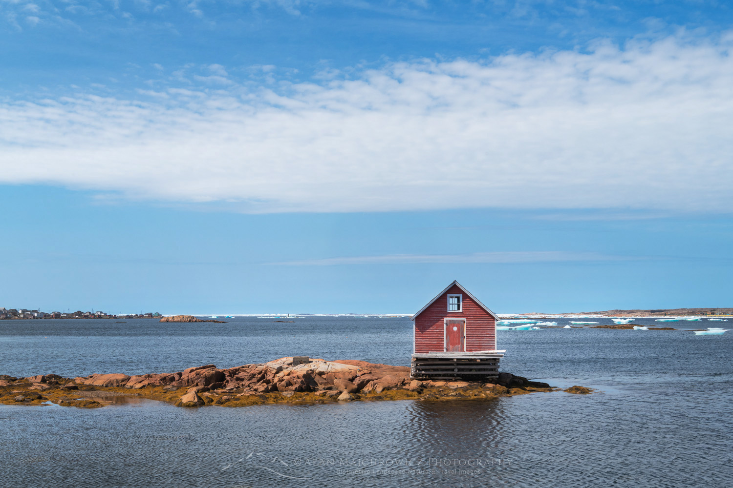
Fishing stage, Joe Batts's Arm, Fogo Island, Newfoundland and Labrador Canada #80095Fishing Stage Fogo Island #80095  Purchase

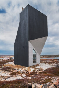
Tower Studio, one of six artist studios designed by Todd Saunders on Fogo Island, Newfoundland and Labrador, Canada #80072Tower Studio Fogo Island #80095  Purchase

Fogo Island is also about a five-hour drive from St. John’s. But, in addition, it also has a 45-minute ferry crossing which requires reservations. Accommodations are numerous, from camping to luxury rooms. Most essentials can be found in the towns of Fogo and Joe Batt’s arm.

Pack ice and icebergs off the coast of Fogo Island Newfoundland and Labrador Canada #80141Lion’s Den Trail Fogo Island #80141  Purchase

For landscape and nature photographers, the best opportunities are along the north coast trails, notably the Lion’s Den, Fogo Head, and Joe Batt’s Point trails. However, other great subjects on Fogo for photographers are several modernist-style art studios and the Fogo Inn.

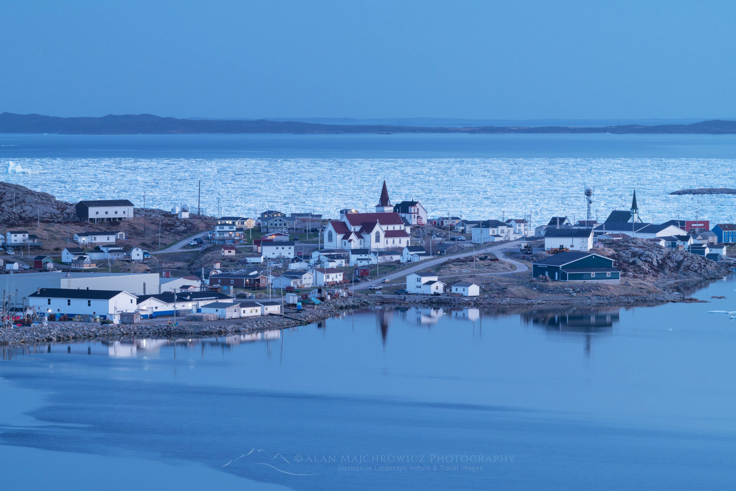
Town of Fogo, with sea ice in Seal Cove. Fogo Island Newfoundland and Labrador Canada #80194Town of Fogo Newfoundland #80194  Purchase

Essential Tips:

  • Coastal photography on Twillingate and Fogo Island greatly benefits from the presence of icebergs and sea or pack ice.
  • Both Twillingate and Fogo Island are great areas to photograph long-exposure seascapes. Bring Big and or Little Stopper Neutral Density Filters, or their equivalent.
  • Iceberg and whale viewing tours are available in the town of Twillingate.
  • Like most of coastal Newfoundland, the cliffs and headlands here can be very windy. Dress appropriately and use extreme caution near the cliffs.
  • The town of Twillingate has plenty of lodging, restaurants, groceries, and other amenities available.
  • The Fogo Island ferry requires reservations. It’s a long drive to the landing, so allow plenty of time to get there.

Iceberg , Twillingate Newfoundland and Labrador Canada #79884Iceberg Twillingate Newfoundland #79884 Purchase

Photographing Twillingate and Fogo Island Newfoundland

Creative Tips:

Allow enough time: One of the most important considerations when planning a photography trip to any location is time.  Good photography rarely results from a hurried schedule. Chasing light is stressful, stay in one place and let the light come to you!

For your most important subject matter and locations, always try to stay at least two days. This will give you time for scouting and also be present for several changes in lighting conditions.

Scouting: Scouting is an essential technique for better photography. Always scout out the best locations in advance by spending the day hiking as many trails as possible. Always make notes of the best spots and how long it will take to reach them in the morning and evening golden hours.

Practical Tips:

When to go: Late spring through fall are all great times. However, May through early July are the best months for iceberg viewing.

Seasonal Closures: After the weather, my next introduction to Newfoundland was seasonal closures. The official summer/tourist season doesn’t begin here until June 1.

Nearly every provincial park, historic site, visitor’s center, campground, restroom, gift shop, etc., is shut tight until then. Of course, there are exceptions, but they are far and few between. On the other hand, all of this guarantees that you’ll escape the summer crowds and have most places all to yourself!

Lodging: I nearly always car camp on my photo tours, so I can’t say much about lodging. However, there are only a few large towns/cities in the province, so you’ll most likely be looking for lodging in small towns with limited accommodations. Book very early!

Camping: I didn’t find many campgrounds anywhere, aside from provincial and national parks, which were closed. However, free camping is available just about anywhere that isn’t private property. This mainly consists of gravel roads on Crown Land and trailheads.

Driving: Roads are generally very good. But I found that in some areas even main roads can be a bit rough.

Rest Areas: There are none! I have to include this since it was such a shock to me. Even driving from St. John’s on the Trans-Canada Highway to the other end of the province there were no rest areas or port-a-potty’s. Secondary and backroads? Forget about it! Keep that in mind when starting in the morning after drinking a big mug of coffee, or that breakfast burrito!

Canadian flag in Spillers Cove, Newfoundland and Labrador Canada #79901Spiller’s Cove South Twillingate Island Newfoundland #80029  Purchase

To see more images check out these galleries:
Newfoundland and Labrador 1
Newfoundland and Labrador 2

Newfoundland Fine Art Black and White FolioNow available:  Newfoundland Sea, Sky Land, Ice Fine Art Portfolio

Other posts in this series:
Photographing in Newfoundland and Labrador/Cape Spear
Photographing Bonavista Peninsula Newfoundland
Photographing The Great Northern Peninsula and Labrador
Photographing the Southern Avalon Peninsula Newfoundland


Learn about how to protect the places we love to photograph
Visit the Nature First Website
Nature First the alliance for responsible nature photography


All photos appearing in Photographing Twillingate and Fogo Island Newfoundland are available for Commercial Licensing and Fine Art Prints. Click on any image to purchase, or contact me for more info!
Photographing Twillingate and Fogo Island Newfoundland

Upper Blue Hills Badlands in the Caineville Desert, Utah #84910

Photo Highlights 2024

Once again, it’s time to look back and reflect on the past year and some of the Photo Highlights of 2024. The photos in this collection represent some of my favorite images from the past twelve months.

One of the recurrent themes in my photography this past year was shapes and patterns. These are also some of my favorite photos because they represent moments I felt an overwhelming connection with the natural world. For me, having that intimate connection with the subject is an essential element that gives an image greater depth and meaning.

So here are my selections, and of course, feel free to comment and vote on your favorite. Thanks for viewing, I hope you have a joyous new year filled with peace and prosperity!

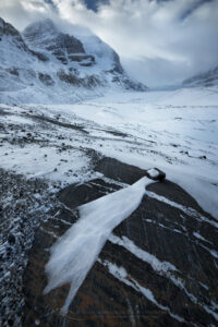
Striped patterns of snow frozen on the surface of Abraham Lake Alberta Canada #82384 Photo Highlights 20241. Abraham Lake Alberta #82384  Purchase

Windswept terminal moraine of Athabasca Glacier in winter, Mount Andromeda and Athabasca Glacier are in the distance. Jasper National Park Alberta Canada #82245b Photo Highlight 20242. Columbia Icefields, Jasper National Park #82245b Purchase

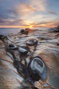
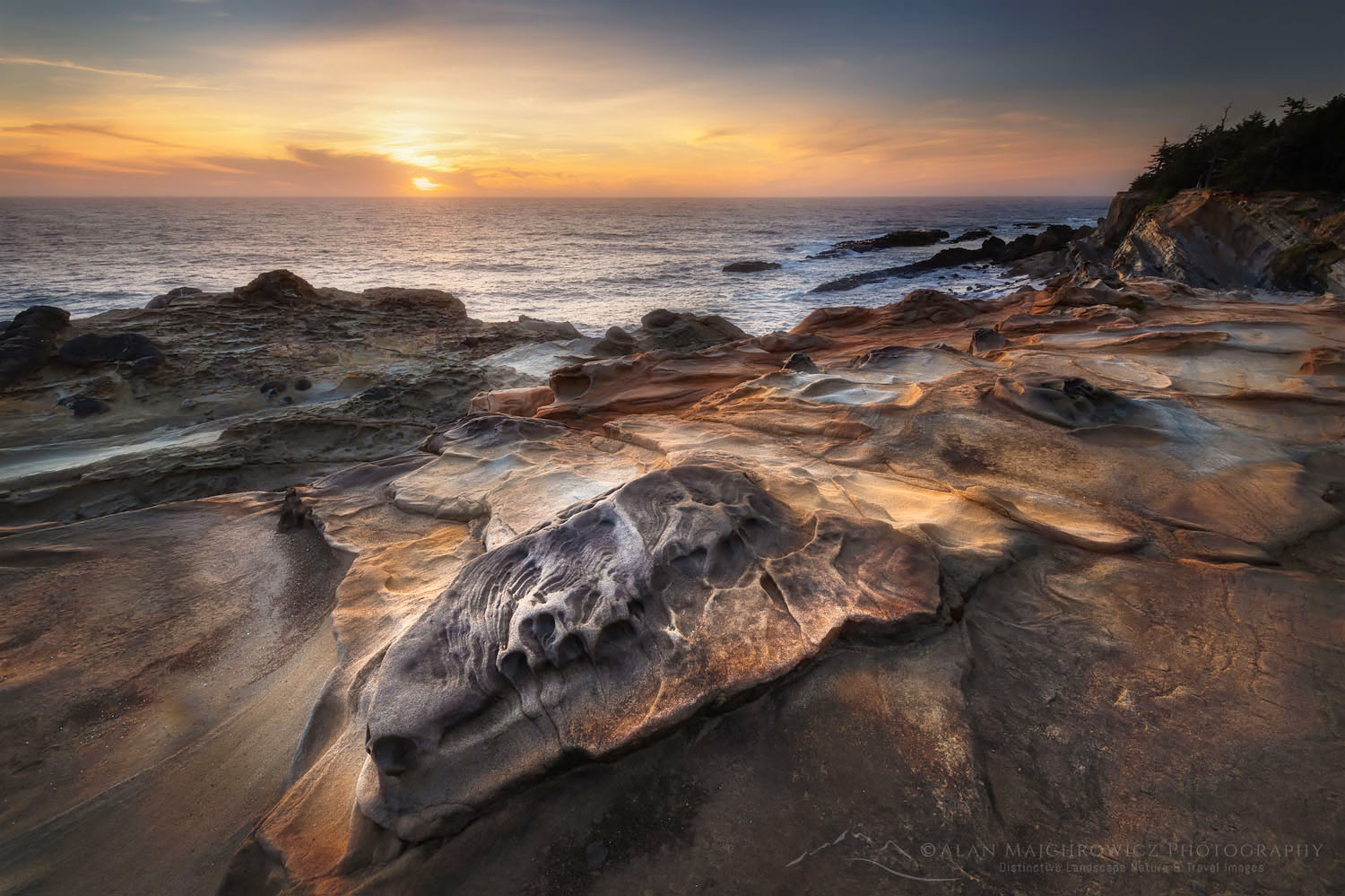
Sunset over Mineral concretions on cliffs of Shore Acres State Park Oregon #830123. Shore Acres State Park Oregon #83012  Purchase

Golden light of sunset reflected on still waters of a tarn in Upper Cramer Basin Sawtooth Wilderness, Idaho #83712b Photo Highlights 20244. Cramer Lakes, Sawtooth Mountains Idaho #83712b  Purchase

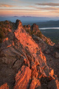
Dramatic sunrise sky over Paulina Lake and the Cascade Range seen from Paulina Peak overlook. Newberry National Volcanic Monument, Oregon #840825. Newberry Crater National Volcanic Monument Oregon #84082  Purchase

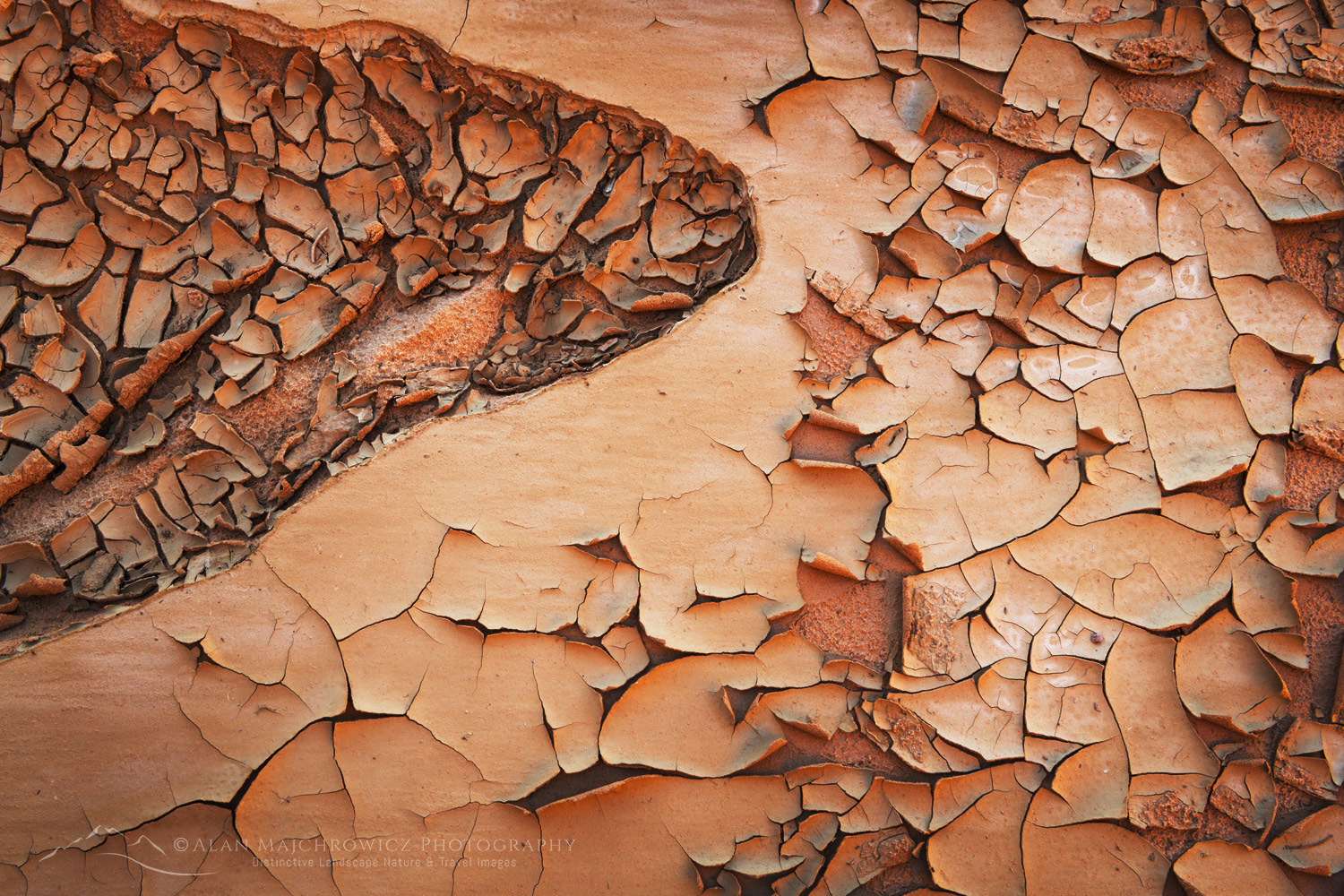
Cracked mud patterns in Harris Wash Grand Staircase-Escalante National Monument Utah #846146. Mud Cracks, Harris Wash Utah #84614  Purchase

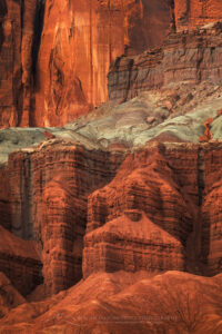
Mummy Cliffs Capitol Reef National Park, Utah #848117. Mummy Cliffs Capitol Reef National Park #84811  Purchase

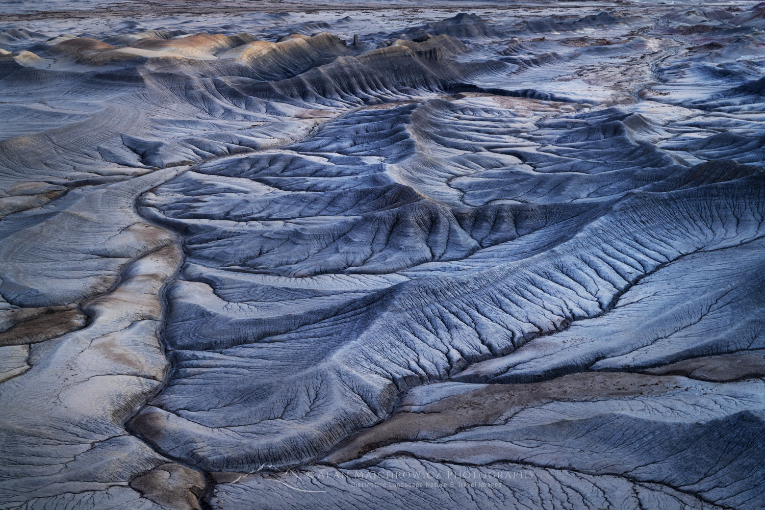
Upper Blue Hills Badlands in the Caineville Desert, Utah #84910 Photo Highlights 20248. Blue Hills Badlands Utah #84910  Purchase

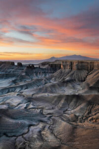
Dramatic view of the Upper Blue Hills Badlands from Skyline Rim. Caineville Desert, Utah #850029. Skyline Rim Utah #85002  Purchase

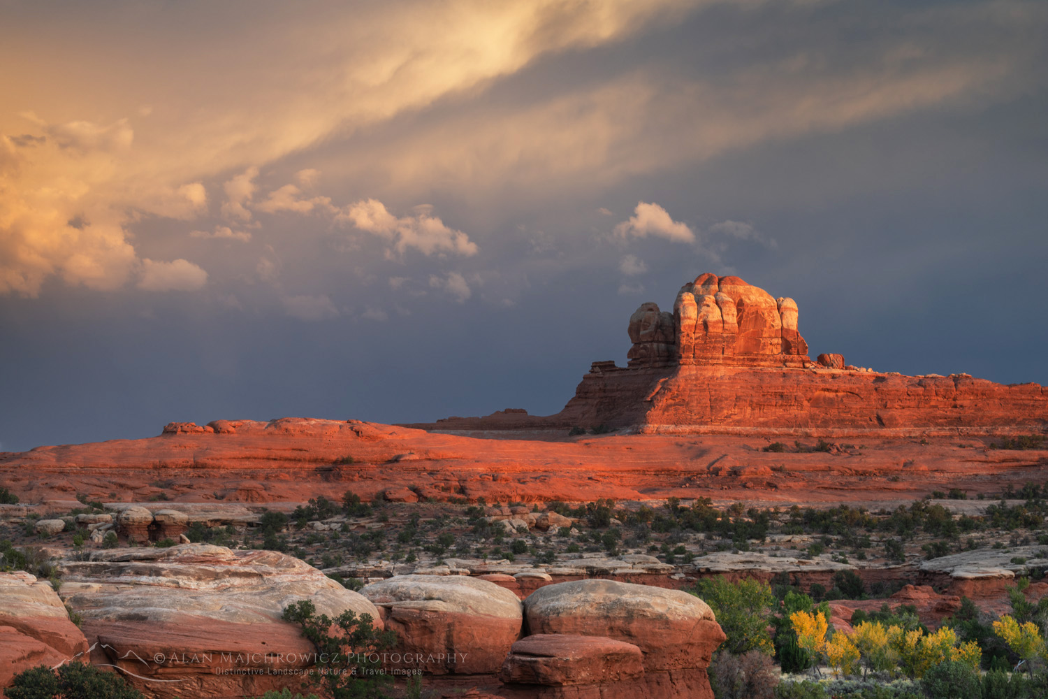
Sunset at Wooden Shoe Arch Overlook. Islands in the Sky District, Canyonlands National Park #8537610. Needles District, Canyonlands National Park #85376  Purchase

All photos appearing in Photo Highlights 2024 can be purchased as Fine Art Prints. They can also be licensed for commercial usage.

Help Conserve the places you and I love

If the images in this post inspire you to go out to visit or photograph our natural world please consider some of the ethical guidelines presented below:

Leave No Trace
To learn about the principles and practicing LNT please take a few minutes to visit the Leave No Trace Center for Outdoor Ethics. Your children, grandchildren and the Earth will thank you!

LEAVE NO TRACE SEVEN PRINCIPLES

1. Plan Ahead and Prepare
2. Travel and Camp on Durable Surfaces
3. Dispose of Waste Properly
4. Leave What You Find
5. Minimize Campfire Impacts
6. Respect Wildlife
7. Be Considerate of Other Visitors
© Leave No Trace: www.LNT.org


Principles of Nature First:

  • Prioritize the well-being of nature over photography
  • Educate yourself about the places you photograph
  • Reflect on the possible impact of your actions
  • Use discretion if sharing your locations
  • Know and follow all rules and regulations
  • Always follow Leave No Trace principles, and strive to leave places better than you found them
  • Actively promote and educate others about these principles

Photo Highlights of 2024

Elements Magazine August 2024

Elements Photography Magazine

This month I’m proud to announce a couple of new business highlights. Firstly, Elements Magazine features an article about photographing in the Yukon Territory, along with a selection of Yukon images. Elements Photography Magazine is one of today’s finest landscape and nature photography publications. It is a great honor to be seen in it alongside some of the best creative photographers of the day. Please check it out when you get a chance!

Elements Magazine August 2024

Secondly, and just as thrilling, the Sierra Club is featuring one of my Mount Rainier images on the cover of their 2025 wall calendar. In addition, another one of my images also appears in March.  Over the years I’ve had many photos in their calendars, but this is my first cover placement. You can purchase your copy here.

Sierra Club 2026 Wilderness Calendar

On the horizon, Adventures Northwest will be publishing another of my articles and images in their fall issue. This article focuses on photographing in the Kootenay Region of British Columbia.

Leave No Trace

Please, Please, Please! Don’t plan a trip to a national park wilderness area unless you are prepared to follow the guidelines of Leave No Trace (LNT). National Parks and wilderness areas throughout the world are under incredible pressure from growing amounts of visitors. So, please do your part to help preserve these precious areas for future generations!

To learn more about the principles and practicing LNT please take a few minutes to visit the Leave No Trace Center for Outdoor Ethics. Your children and grandchildren will thank you!

LEAVE NO TRACE SEVEN PRINCIPLES

1. Plan Ahead and Prepare
2. Travel and Camp on Durable Surfaces
3. Dispose of Waste Properly
4. Leave What You Find
5. Minimize Campfire Impacts
6. Respect Wildlife
7. Be Considerate of Other Visitors
© Leave No Trace: www.LNT.org

Learn about how to protect the places we love to photograph
Visit the Nature First Website
Nature First the alliance for responsible nature photography


Summer News | Elements Photography Magazine

Little Redfish Lake, Sawtooth National Recreation Area Idaho

Summer Photography 2024

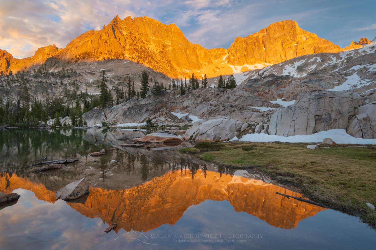
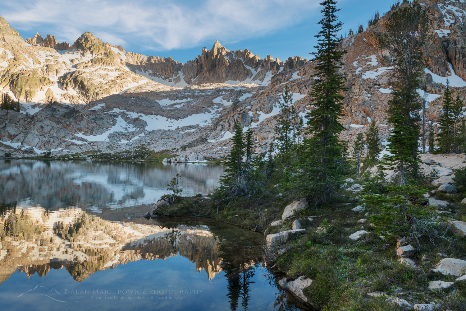
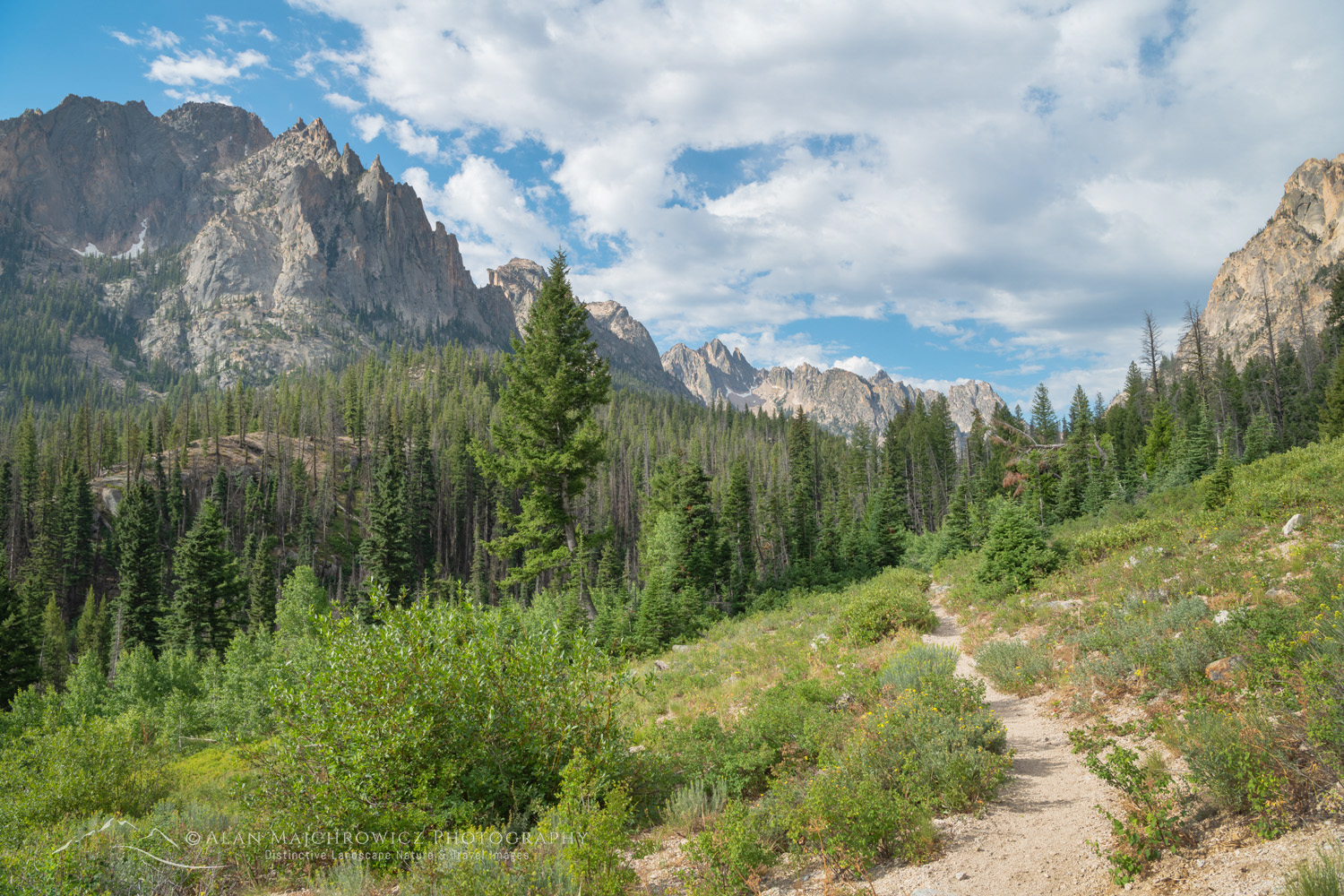
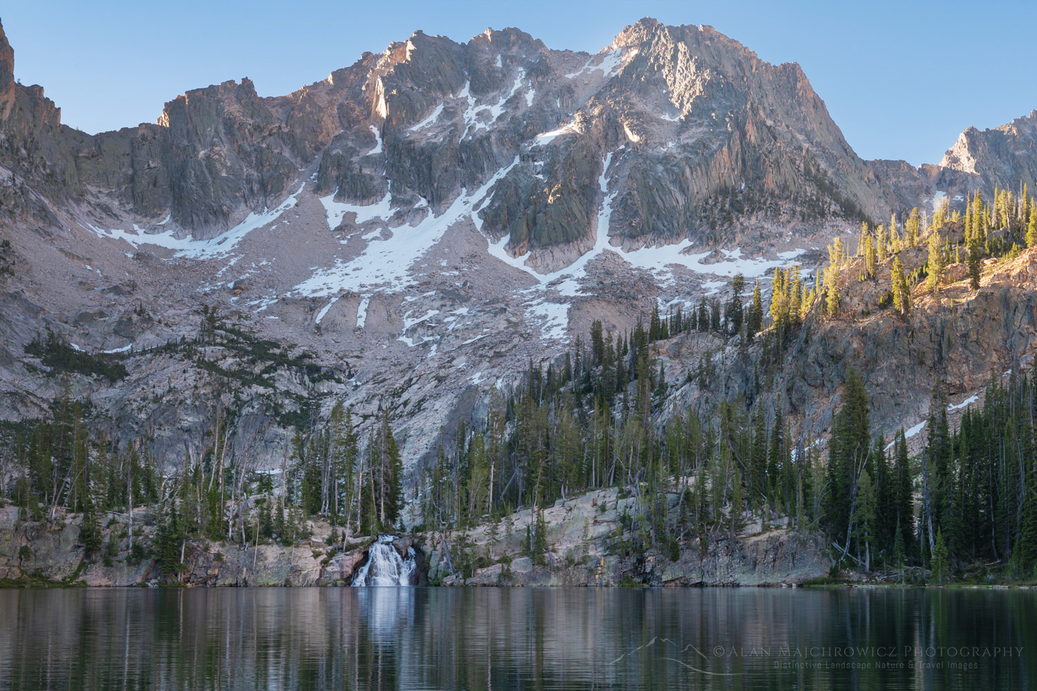
Summer is finally here and it’s time to hit the road and trails! This week I’ll be leaving for my extended summer photography 2024 tour.

Little Redfish Lake, Sawtooth National Recreation Area Idaho Summer Photography 2024Little Redfish Lake Sawtooth Mountains, Idaho #56176  Purchase

Summer is finally here and it’s time to hit the road and trails! This week I’ll be leaving for my extended summer photography 2024 tour. The tour will be similar to those in 2019 and 2021. Destinations will be Idaho’s Sawtooth and White Clouds Wilderness Areas, and then on to the Wind River Range in Wyoming.

While I’ve photographed most of the locations before I’m aiming to build on images from previous trips. As I mention in other posts, it’s rare that a photographer creates compelling images on the first visit to a location. Weather and lighting conditions may not be optimum, and it’s also difficult to fully know the new subject matter.

Mount Helen and field of purple Asters growing in Upper Titcomb Basin, Bridger Wilderness, Wind River Range Wyoming Summer Photography 2024Titcomb Basin Wildflowers #66700 Purchase

Below are some of the locations scheduled for this trip. As always locations are subject to change due to weather, wildfire smoke, etc.

  • Sawtooth Mountains Wilderness, Idaho / Cramer Lakes, Saddleback Lakes
  • Cecil D. Andrus-White Clouds Wilderness, Idaho / Boulder Chain Lakes
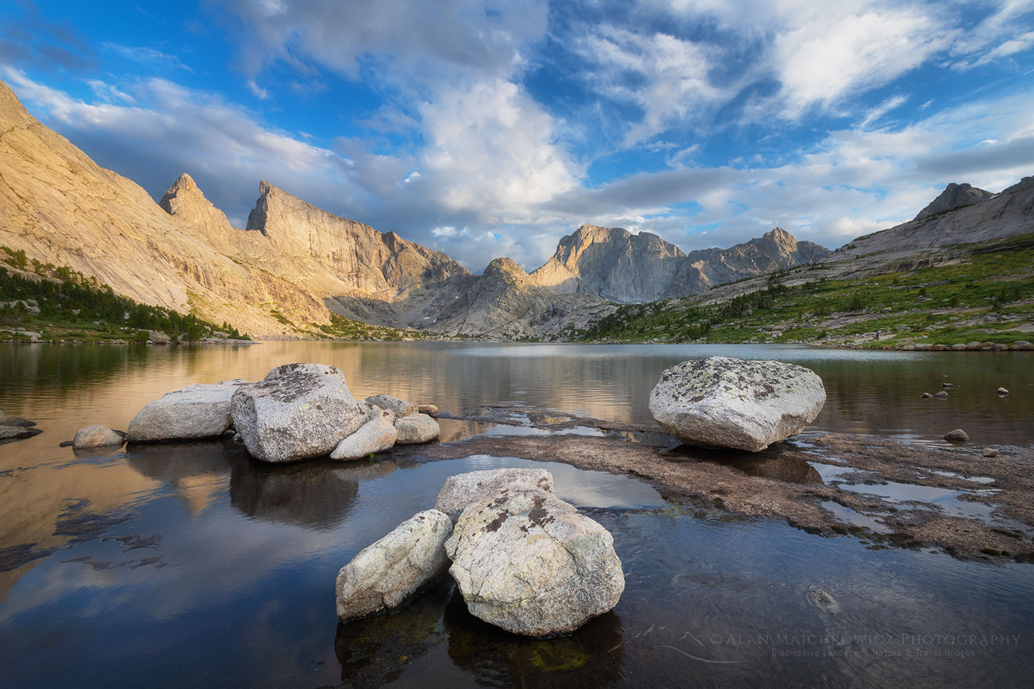
  • Wind River Range, Wyoming / East Fork Valley, Titcomb Basin, Pronghorn Peak, Green River Lakes

Pronghorn Peak and Lake Donna. Bridger Wilderness, Wind River Range WyomingPronghorn Peak Wind River Range #69198  Purchase

Check out the following links to see images and trip details from some of the locations:
Cecil D. Andrus-White Clouds Wilderness
Sawtooth Mountains, Idaho
Central Wind River Range 
Titcomb Basin Wind River Range
Green River Lakes Wind River Range

White Clouds Wilderness IdahoWhite Clouds Wilderness, Idaho #68945  Purchase

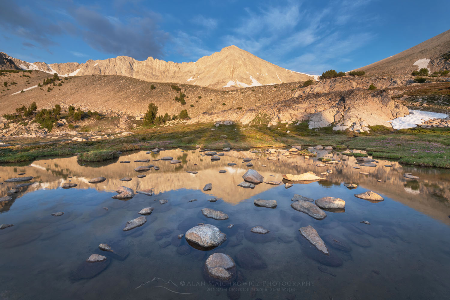
El Capitan and Alice Lake Sawtooth Mountains IdahoEl Capitan Sawtooth Mountains Idaho #66114  Purchase

All photos appearing in this post are available for Commercial Licensing and Fine Art Prints. Click on any image to purchase, or contact me for more info!
Summer Photography 2024

Yukon Territory Photography

Yukon Territory Photography
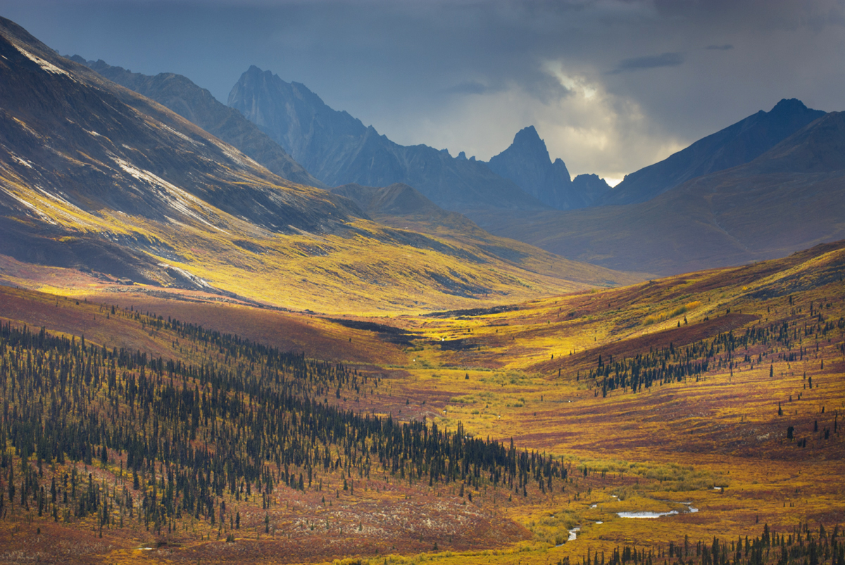
North Klondike River Valley displaying vibrant colors of autumn foliage, Tombstone Territorial Park Yukon Canada Yukon Territory PhotographyTombstone Territorial Park, Yukon Territory #15494 Purchase

Update: Some areas described in this post are on my Summer Photography Adventures 2025 schedule!

Canada’s Yukon Territory offers photographers subject matter in an environment that is unique and challenging. The Yukon is a dream location, encompassing some of the highest mountains in North America and endless expanses of Arctic tundra. It also has the only road in North America which can be driven directly to the Arctic Ocean. Wildlife photographers can also photograph a variety of species, including grizzlies, Dall sheep, herds of caribou, and even polar bears.

Any Yukon Territory photography trip requires planning.  It’s a big area with only one major city, and few roads, many of which are unpaved. And, of course, the further north you travel, the wilder things get. Small towns on maps may be nothing more than a gas station and general store offering only basic supplies. And like Alaska, some locations may be accessible only by air taxis.

Landscape and nature Photographers generally won’t need any special skills or equipment different from other locations. However certain locations, such as the northern reaches offer subject matter that is unusual and ripe for creative interpretations.

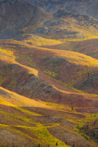
Tundra in the Ogilvie Mountains displaying vibrant autumn foliage, Tombstone Territorial Park Yukon, Canada Yukon Territory PhotographyTombstone Territorial Park, Yukon Territory #15327 Purchase

When to go

You can travel to many locations in The Yukon throughout the year. However, summer is the most practical for most photographers. But being this far north summer is a fairly short season, with autumn conditions appearing in mid-August.

Summer:  
Summer offers very long days and the appearance of the midnight sun north of the Arctic Circle. Warm temperatures and weather patterns are more reliable. Destinations are wide open as all parks and services are open for business.

June and July are also the times when flying insects are most prevalent. These include mosquitoes, gnats, black flies, no-seem-ums, and devilish bulldog flies, also known as deer flies and horse flies. Depending on your tolerance this can be a major factor in planning your trip. I have a low tolerance, so these months are a definite no-go for me. Bugs are at their worst in the northern half of the territory where endless expanses of marshy tundra provide ideal breeding grounds for the various tormentors. Although, most of the bugs begin to disappear by early August.

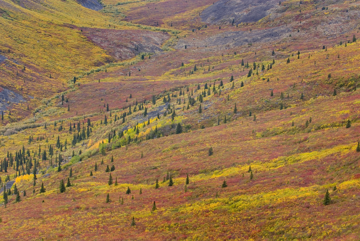
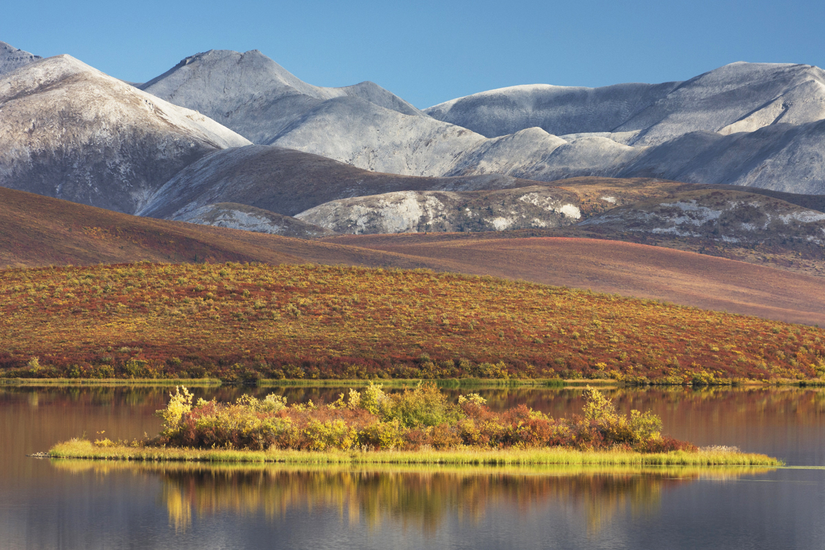
Tundra of the Grizzly Creek Valley displaying vibrant autumn colors, Tombstone Territorial Park Yukon CanadaTundra in fall color, Yukon Territory #15258 Purchase

Fall:

For me, this is the best time of the year for photographing in The Yukon. Fall colors begin to appear in the far north in mid to late August and can last into early October in the southern reaches. By the second half of August, most of the bugs are gone for the year. This season also marks the beginning of unpredictable shifts in weather patterns. One day can be sunny and warm, and the next day can be freezing with snow.

By late August the tundra is ablaze with fall color. Some of the most breathtaking landscape photography is in Tombstone Territorial Park and north to the Arctic Ocean. North of the Ogilvie Mountains is an endless sea of low mountains and rolling hills carpeted in brilliant yellow, orange, and reds.

Late August and early September can also mark the reappearance of northern lights. Combined with fall colors the northern lights offer amazing photography subject matter!

Winter:

This of course is the most challenging season in The Yukon. Very long nights, wickedly cold temperatures, and few open services mark this season. Most main roads are still open for travel but conditions can be dicey, at best. Photographing the northern lights in The Yukon in winter can yield spectacular results. However, for safety reasons, you must take your preparations to another level.

Spring:

This season may be the best time to photograph the northern lights. The surroundings still have a wintery appearance, but the days are longer and temperatures are more reasonable. Road travel is safer and services begin to open.

Yukon Territory Photography Locations

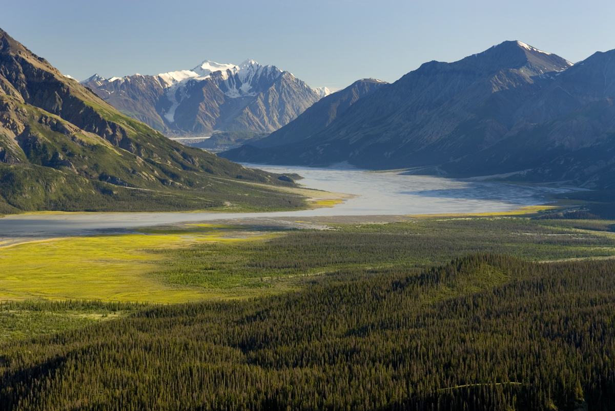
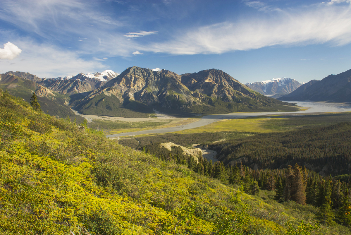
View up the Slims River Valley, Kluane National Park Yukon CanadaSlims River Valley, Kluane National Park #13552 Purchase

Kluane National Park

This large national park in Yukon’s southwest corner is home to some of the largest and most spectacular mountains and glaciers in North America. Kluane is part of the Kluane / Wrangell-St. Elias / Glacier Bay / Tatshenshini-Alsek, a Unesco World Heritage site, all of which compose a massive expanse of mountains and ice.

Kluane National Park has some of the most jaw-dropping scenery a photographer can imagine. However, for the average visitor access to it is limited to several trails on its eastern perimeter.  But, flight-seeing tours are available which will take you over the glaciers. Below are a few of the best locations accessible to photographers on foot.

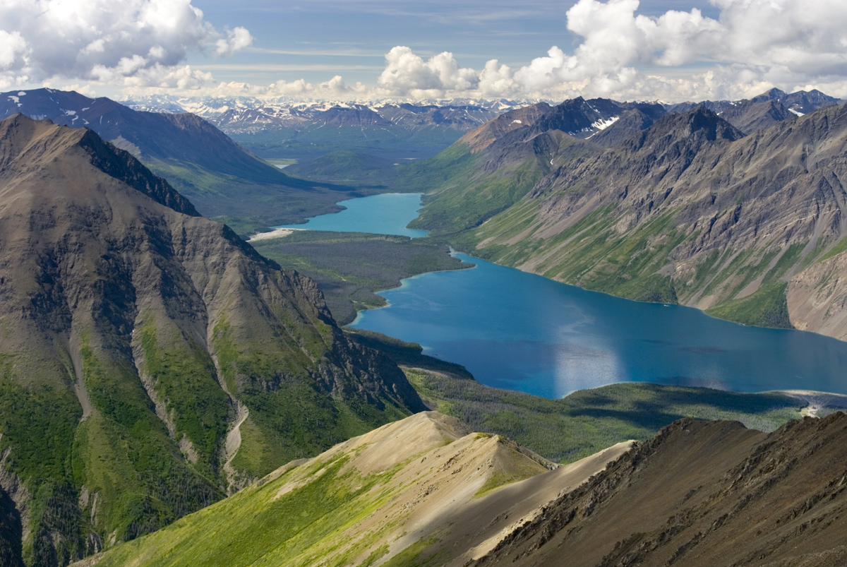
View of Kathleen Lake from Kings Throne Mountain, Kluane National Park Yukon CanadaKathleen Lake, from the summit of King’s Throne, Kluane National Park #13475 Purchase

Kathleen Lake/Kings Throne:

This location is just south of Haines Junction on the Alaska Highway. Kathleen Lake is a large and beautiful lake that is a gateway to the park’s interior. Trails along its shores offer good photo opportunities, but the best photos are from the King’s Throne.

The trail to King’s Throne can be split into two parts. The first part is a relatively easy climb to the bench of the Throne, from here there are lovely views down and across Kathleen Lake.  For photographers, the second part is the more desirable destination. The trail continues up from the bench and quickly turns into a rough and strenuous route. Views from the summit include Kathleen Lake far below, in addition, there are wonderful panoramas of the rugged glaciers and mountains of the interior of the park.

The summit of King’s Throne is one of the best destinations in the park. But keep in mind this is a difficult and strenuous hike.

View up the Slims River Valley, Kluane National Park Yukon CanadaSlims River Valley seen from Sheep Mountain, Kluane National Park #13553 Purchase

Ä’äy Chù (Slim’s River) West/ Discovery Mountain:

This awesome destination is a 2-4 day backpack that takes you to the edge of the interior glaciers and mountains.  For photographers, however, I would recommend 3-6 days. Parks Canada rates this a difficult trip with a high possibility of bear encounters. The main valley trail ends along a campsite along the river, but the ultimate destination is the summit of Observation Mountain. From here are spectacular views of the Kaskawulsh Glacier and the interior mountains.

For those not wanting to do a long backpacking trip, the Sheep Creek Trail is a good alternative. The trail climbs up Sheep Mountain and has great views down the Slims River and beyond.

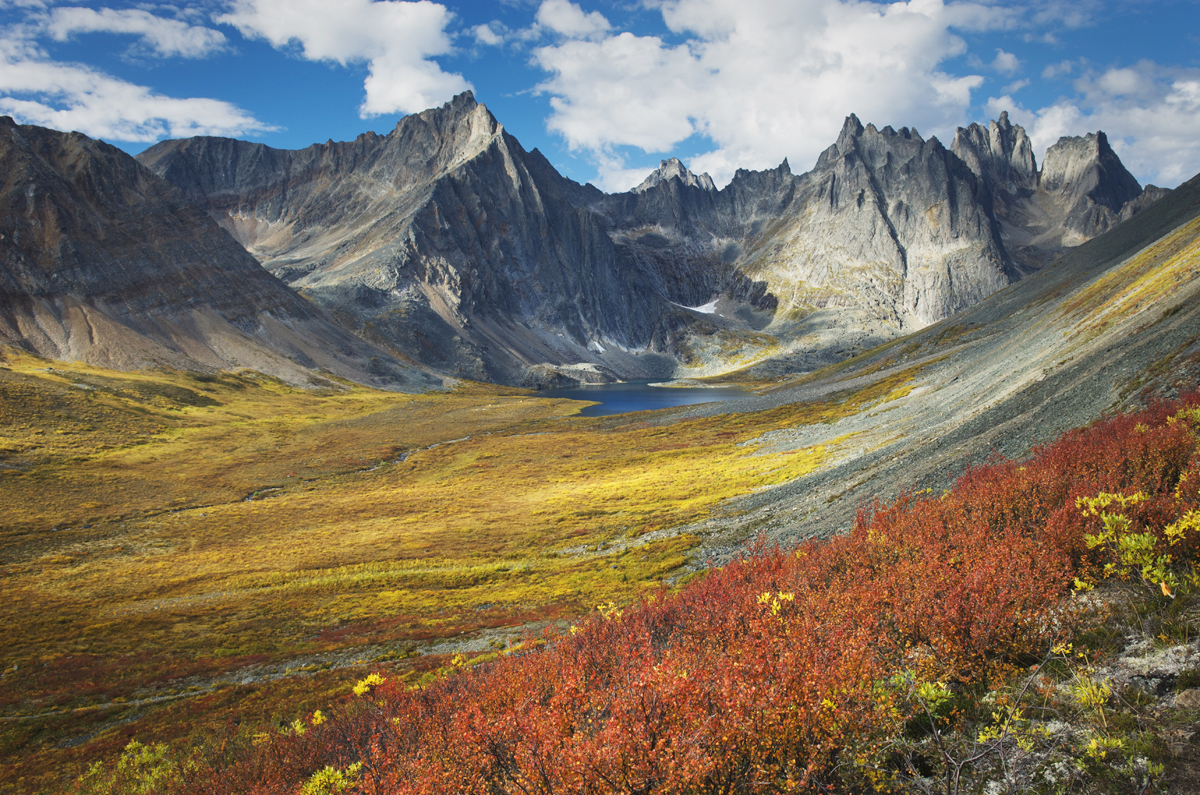
Grizzly Creek valley displaying tundra in full autumn color, Tombstone Territorial Park Yukon CanadaTombstone Territorial Park, Yukon Territory #15190 Purchase

Tombstone Territorial Park:

This is possibly the ultimate destination in The Yukon for photographers. The park is located in the Ogilvie Mountains and Blackstone Uplands, about 1.5 hours north of Dawson City on the Dempster Highway. It sits where the northern boreal forest begins to transition to arctic tundra. Because of this, photographers can compose images of brilliantly colored tundra sprinkled with stands of spruce forests, against a backdrop of rugged granite mountains, and sparkling lakes.

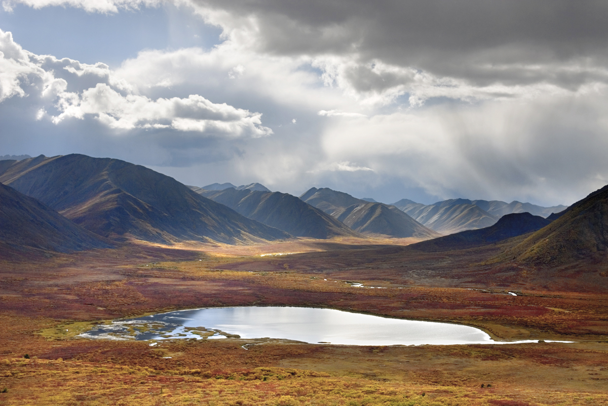
Stormy sky reflected in small lake, Tombstone Territorial Park Yukon CanadaAlong the Dempster Highway, Yukon Territory #15479 Purchase

Frontcountry:

Photographers traveling to Tombstone Park have excellent options in both front-country and backcountry. The Dempster Highway cuts through the park and has numerous scenic pullouts along the way. The most notable of these is a classic view of the Tombstone Range and Klondike River Valley.

Driving north along the Dempster there are numerous ponds lakes and creeks to use in compositions with the mountains. Be aware that the tundra terrain just beyond the road is extremely fragile and difficult to walk on. Often the soft tussocks of lichens, mosses, and other plants live just above a watery subsurface on top of the permafrost. Walking on this terrain can easily twist an ankle, soak your feet, and kill the vegetation.

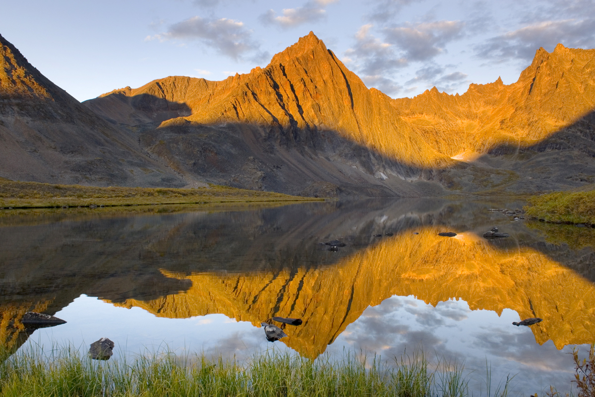
Peaks of the Tombstone Range reflected in Grizzly Lake, Tombstone territorial Park Yukon CanadaGrizzly Lake, Tombstone Territorial Park, Yukon Territory #15152 Purchase

Backcountry:

The backcountry locations of Grizzly, Talus, and Divide Lakes are the hands-down prime destinations for photographers in Tombstone Park. These lakes and their campsites lie in the heart of the park, at the base of spectacular granite spires. Truly some of the most beautiful scenery in North America.

Visiting and photographing all three lakes requires at least a four-day backpacking trip, and ideally around 8-9 days. The route to the first lake, Grizzly, is moderate to difficult. Getting from Grizzly to Talus and Divide Lakes is difficult and strenuous. However, like many backcountry destinations in Canada, with plenty of money available, you can book a flight instead. Of course, for the rest of us on foot,  hearing a chopper lander near your tent can be annoying!

Reservations Woes:

Unfortunately, Tombstone Territorial Park has joined the growing list of locations, succumbing to internet popularity. Reservations are required for all three of the above backcountry lake campsites. No spots are set aside for walk-up reservations. Consequently, you are out of luck if you arrive without one. Reservations fill up for the entire season within minutes of becoming available early in the year.

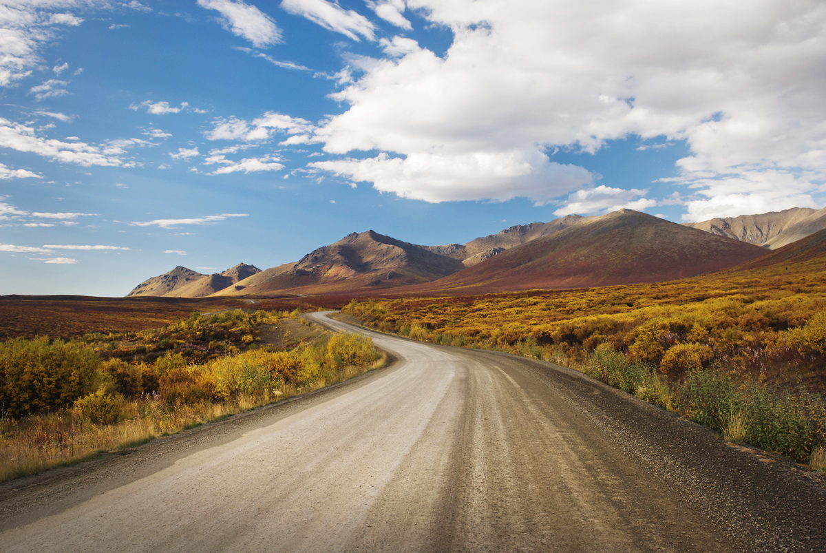
The Dempster Highway winding its way through the Ogilvie Mountains, Tombstone Territorial Park Yukon CanadaThe Dempster Highway, Yukon Territory #14903 Purchase

Dempster Highway and the Arctic:

For the ultimate trip, driving the complete length of the Dempster Highway and Inuvik Tuktoyaktuk Highway is a once-in-a-lifetime adventure. It is an 887km (551 miles) drive from Dawson City to its end at Tuktoyaktuk on the Arctic Ocean. This well-maintained but unsurfaced road passes through numerous great photo opportunities. To name a few, Dawson City, Tombstone Territorial Park, Blackstone Uplands, the Richardson Mountains, and Pingo National Landmark at the end of the road on the Arctic Ocean.

Lake in the Blackstone Plateau reflected clouds and hills of the Ogilvie Range, Yukon Canada Yukon Territory PhotographyBlackstone Uplands, Yukon Territory #15390 Purchase

Practical Tips for Yukon Territory Photography

Just about anywhere in The Yukon can be considered a remote location. You’ll need to prepare for self-reliance for the duration of your trip. This includes photography equipment. The city of Whitehorse may be your only option for photography gear stores.

  • Bring your entire photography kit, be prepared for everything!
  • Similarly, allow yourself plenty of extra time for weather and lighting. Be flexible with your itinerary, and prioritize locations.
  • Cell service will be extremely limited to non-existent outside of towns
  • Stock up on food, water, and supplies in major towns, small towns may be nothing more than a gas station.
  • Watch your gas gauge, and check the distance to the next gas station.
  • Have a mechanic check your vehicle in advance.
  • Always carry an emergency vehicle kit and at least one spare tire.
  • Electric vehicle charging stations are limited. At this time, there are none on the Dempster Highway.
  • Bring bug repellant and or head nets.
  • Bring Bear Spray and, above all,  know how to use it effectively. Bear encounters are possible nearly everywhere in The Yukon. Educate yourself on traveling in bear habitat, and always be alert!
  • Pack clothing and gear for all weather conditions, including winter clothing and gear even in summer.
  • Check-in with visitor’s centers for local advice on weather, road, and trail conditions.
  • Enjoy your Yukon Territory photography trip!

Peaks of the Tombstone Range from Glissade Pass, Tombstone Territorial Park Yukon Canada Yukon Territory PhotographyTombstone Territorial Park, Yukon Territory #15116 Purchase

Leave No Trace in the Yukon Territory

Please Please Please!  Don’t plan a trip to this or any other wilderness area unless you are willing to follow the guidelines of Leave No Trace (LNT). Mount Baker Wilderness and all other wilderness areas throughout the world are under incredible pressure from growing amounts of visitors. Please do your part to help preserve these precious areas for future generations!

To learn more about the principles and practicing LNT please take a few minutes to visit the Leave No Trace Center for Outdoor Ethics. Your children, grandchildren, and the Earth will thank you!

Seven Leave No Trace Principles

  • Plan ahead and prepare.                                       
  • Travel and camp on durable surfaces.                 
  • Dispose of waste properly.                                                                         
  • Leave what you find.                                            
  • Minimize campfire impacts (be careful with fire).
  • Respect wildlife.  
  • Be considerate of other visitors

Thanks for reading, feel free to share this post with your friends and colleagues!

Learn about how to protect the places we love to photograph
Visit the Nature First Website
Nature First the alliance for responsible nature photography


Want to learn more, or have a professional photographer guide you in the field? Then take your Creative Photography to the next level with  Private Instruction and Guided Photo Tours.

Photos appearing in  Yukon Territory Photography are available for Commercial Licensing and Fine Art Prints. Click on any image to purchase, or contact me for more info!
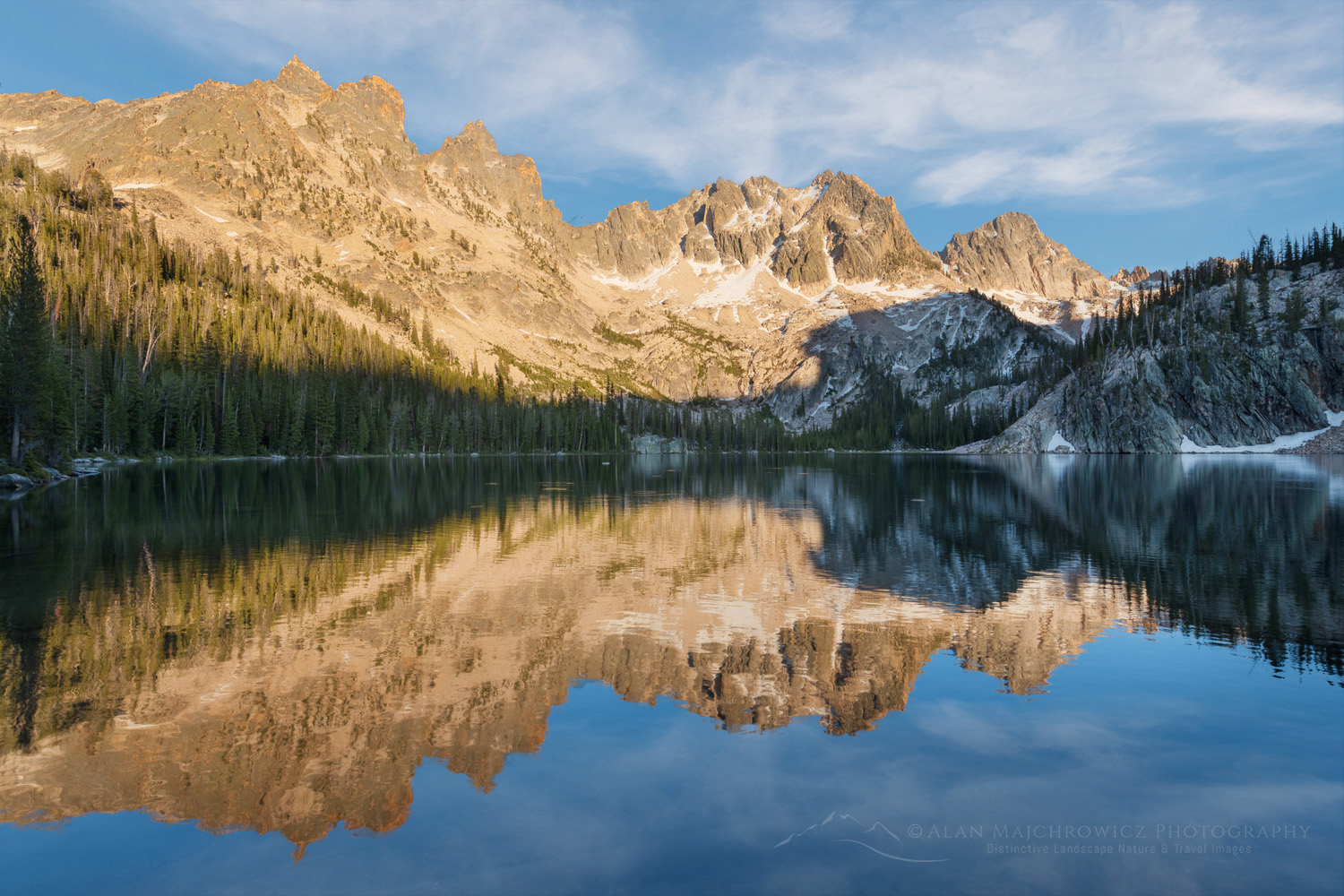
Yukon Territory Photography

Eroded sandstone concretions and formations at Shore Acres State Park Oregon. #68579or

What is it like to be a Professional Landscape Photographer?

Nearly every time I’m on location photographing, someone will approach me, and we start a conversation about photography. They often ask if I’m a professional landscape photographer. When I answer yes, they begin to ask the usual questions, such as “How do you sell your work?” and “It must be wonderful to travel all over and take beautiful photos.” My standard reply to their questions is that, yes, in many ways it truly is a dream job. But I quickly add that it also is a challenging way to earn a living.

Eroded sandstone concretions and formations at Shore Acres State Park Oregon. #68579or What is it like to be a Professional Landscape Photographer?Shore Acres State Park, Oregon #68579or  Purchase

Being a professional landscape photographer selling fine art prints and licensing images for over 35 years, I have some honest truths to share. So, this post is for those interested in what it’s like or want to become a professional Landscape Photographer.

*Disclaimer: These are only my personal experiences and observations and mainly relate to the niche of being a landscape photographer. Most photographers will agree with some or all of the points I make below. However, every photographer has different experiences, approaches, skills, and resources available. So, this isn’t a one-size-fits-all scenario.

East Temple and Temple Peaks are reflected in Deep Lake. Bridger Wilderness Wind River Range Wyoming #78671or What is it like to be a Professional Landscape Photographer?Deep Lake Wind River Range  #78671or  Purchase

So what is it like to be a landscape photographer?

A career in landscape photography can certainly sound like a glamorous dream job. But it isn’t for everyone and entails many aspects that most people don’t think of or willingly choose to ignore.

You will spend most of your time in the office, not the field. It’s easy to imagine a career of constant traveling and photographing in beautiful locations. But those gorgeous award-winning images don’t fly out of your camera and sell themselves. Besides editing and processing, you need to promote yourself, find clients (a lot of them), establish business relationships, and much more. And you must do this not just once, but over and over again, every day, and every year.

Being on location isn’t always a picnic. Creating great images requires planning, hard work, plenty of time, and often luck. The chances of getting those beautiful images you see on Instagram on a quick easy trip are rare. You’ll often need to backpack in, camp out, and stay put for days waiting for the right conditions, often in lousy weather while being tortured by plaques of mosquitos and flies. Winter landscape photography presents its own unique, difficult, and sometimes dangerous challenges. When not backpacking I always camp out in the back of my Toyota Tundra. Staying in a comfortable motel every night is usually impractical and too expensive.

Every trip isn’t successful. Thinking that every day you’re on location will be filled with gorgeous light and mind-boggling compositions is a recipe for disaster. It just doesn’t happen. I’ve been on trips lasting many weeks with only one or two instances of great, or decent light. Browsing through Instagram and following well-known photographers can be misleading. Those photographs only show their best images. And there’s no way of knowing how many days or return trips it took to make that image. There are certain locations I’ve returned to many times without coming away with any successful photos.

Pressure and stress are constant companions. On location, there is constant pressure to come back with great new marketable images. You’ve put a lot of time, money, and energy into getting to that special location. The last thing you want is to return home with nothing to show for your efforts. And of course, back in the office, there is the pressure to get those new images out to photo editors and art buyers, and somehow persuade them to use those photos, so you can pay the bills. 

You’ll need to constantly add new images to your archives. You can rely on marketing your existing images for only so long. Most art buyers and photo editors will want to see new and exciting images every year. Submitting the same images makes them believe you’re not committed to your business. They’ll eventually move on to other more productive photographers.

You are an independent freelance business owner. Do you enjoy looking for work, sending your resume out, and applying for jobs? Probably not, but you better because, as a freelancer, you’ll be doing it every day for the rest of your life. There is no such thing as a regular paycheck in this business. That photo editor or art buyer you just spent so much time convincing to use your image in a project? Well, you’ll have to do it again tomorrow, the next day, and the next day…

There is a lot of competition. In the past, you may have competed against several thousand other professionals. But digital imaging and social media have instantly made everyone good enough to be a professional photographer. Now you may be up against several million. And the number gets bigger every day.

You’ll need to wear a lot of hats. Unless you have a bottomless bank account you’ll need to become a DIY expert. That includes marketing, IT, web design and maintenance, SEO (Search Engine Optimization), business management, amateur meteorology, natural history, handyman, and more. All that is on top of becoming an expert in all the various photo editing and business apps you’ll need to use daily.

You most likely won’t get rich.  Yes, there are exceptions to this. There are professional landscape photographers who do quite well. But in reality, they are few and far between. The ones at the top are usually very shrewd business people with exceptionally good marketing and sales skills. The days of big-budget assignment work and lucrative stock image sales are long gone. Meanwhile, the advent of AI imaging is certain to make things even more difficult for everyone.

Fall color along the Virgin River Zion National Park Utah #76602Zion Canyon in fall color #76602  Purchase

Benefits of being a Professional Landscape Photographer

You are doing something that you love for a living. Over the years, I’ve thought of other career paths I might have taken or doing things differently. But I honestly can’t think of anything I’d rather do, despite all its difficulties.

You get to visit and see amazing places and things. I often go to places multiple times that are on the once-in-a-lifetime bucket list of others. One of my favorite memories was photographing in the Westfjords of Iceland. I was sitting on a bluff overlooking the Greenland Sea. In the distance was a thick bank of fog glowing yellow and orange in the midnight sun. There was no one else around and it was perfectly quiet except for the sound of sheep bleating contentedly in the distance. It was a magical experience that you won’t get on a cruise ship or commercial bus tour.

You get to meet interesting people.  While on the road and trail, I’ve met people from all over the world, traveling for many reasons. I’ve met people who live on the road in a van or tiny compact car, just traveling to wherever or whatever seems interesting to them. Once, I met a young man who travels to all the natural hot springs in the western states cleaning up the trash and keeping them in good shape, for nothing in return. The list goes on and on.

You get to share your knowledge and experiences with others. Through teaching the occasional photography/nature workshop I get to help others improve their photography skills and appreciation of our natural environment.

You can be part of something bigger and be an inspiration. Over the years my images have been used by organizations I believe in to help promote and further their cause. I’ve also sold fine art prints to people which helps them reconnect to a special memory or time.

You get to regularly disconnect from the stresses of the digital world. Being alone and photographing our natural world, away from cell phones, television, and the general deafening and mind-numbing cacophony of our digital existence is one of the most cleansing and reinvigorating things I can think of.

Fogo Island sunset from East Tickle, Newfoundland and Labrador Canada #80143Fogo Island sunset Newfoundland  #80143  Purchase

In conclusion, being a Professional Landscape Photographer is incredibly rewarding but also very difficult. To the uninitiated, it may seem like the challenges outweigh the benefits. But for me, it’s the other way around. The greatness of the benefits always overcomes the challenges.

I truly love what I do despite the sacrifices and frustration that goes with it. It’s part of me, defines who I am, and compels me to keep on learning, seeing, and appreciating our natural world.

Hiker in Arethusa Cirque Kanansakis Country AlbertaThe author in Kananaskis Country Alberta

What is it like to be a Professional Landscape Photographer?