Yukon Territory Photography
Yukon Territory Photography
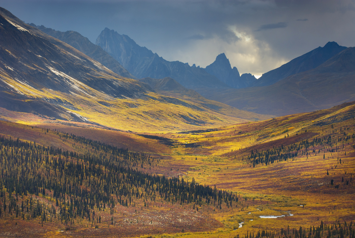
North Klondike River Valley displaying vibrant colors of autumn foliage, Tombstone Territorial Park Yukon Canada Yukon Territory PhotographyTombstone Territorial Park, Yukon Territory #15494 Purchase

Canada’s Yukon Territory offers photographers subject matter in an environment that is unique and challenging. The Yukon is a dream location, encompassing some of the highest mountains in North America and endless expanses of Arctic tundra. It also has the only road in North America which can be driven directly to the Arctic Ocean. Wildlife photographers can also photograph a huge variety of species, including grizzlies, Dall sheep, herds of caribou, and even polar bears.

Any Yukon Territory photography trip requires planning.  It’s a big area with only one major city, and few roads, many of which are unpaved. And, of course, the further north you travel, the wilder things get. Small towns on maps may be nothing more than a gas station and general store offering only the very basic supplies. And like Alaska, some locations may be accessible only by air taxis.

Landscape and nature Photographers generally won’t need any special skills or equipment different from other locations. However certain locations, such as the northern reaches offer subject matter that is unusual and ripe for creative interpretations.
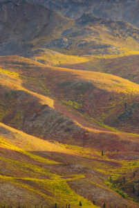
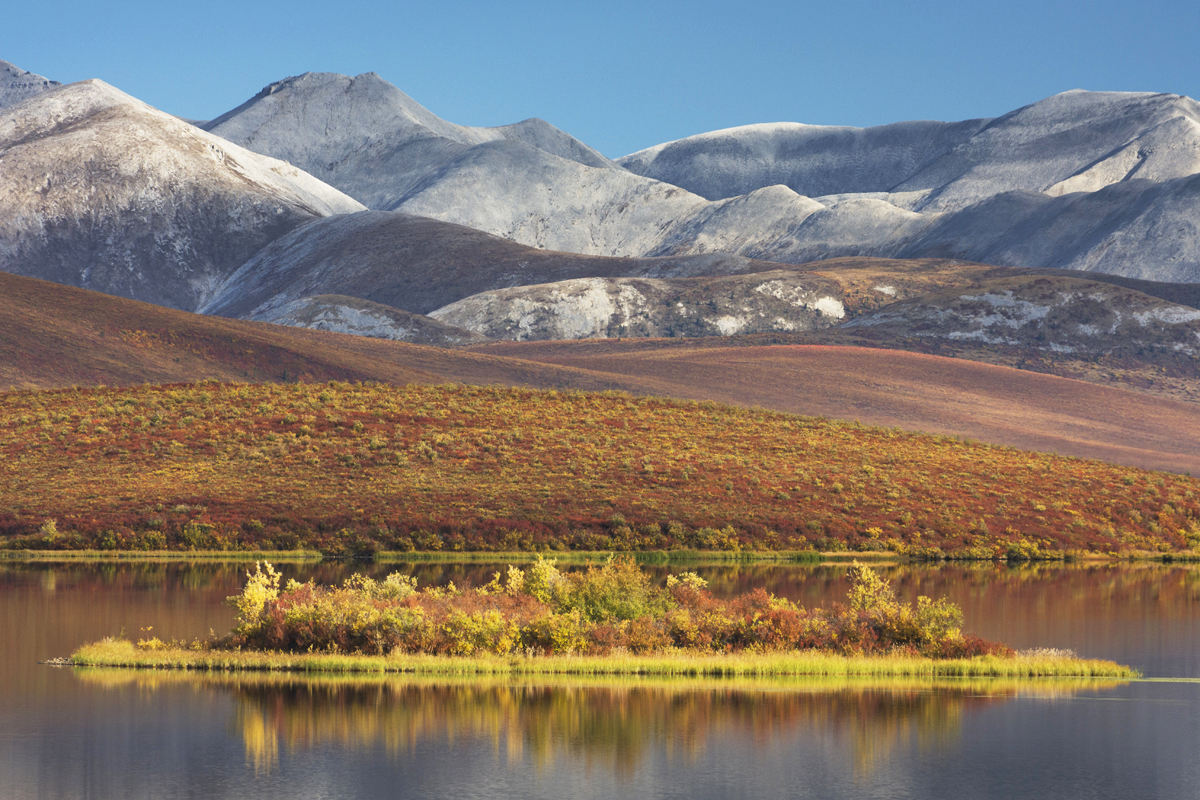
Tundra in the Ogilvie Mountains displaying vibrant autumn foliage, Tombstone Territorial Park Yukon, Canada Yukon Territory PhotographyTombstone Territorial Park, Yukon Territory #15327 Purchase

When to go

You can travel to many locations in The Yukon throughout the year. However, summer is the most practical for most photographers. But being this far north summer is a fairly short season, with autumn conditions appearing in mid-August.

Summer:  
Summer offers very long days and the appearance of the midnight sun north of the Arctic Circle. Warm temperatures and weather patterns are more reliable. Destinations are wide open as all parks and services are open for business.

June and July are also the times when flying insects are most prevalent. These include mosquitoes, gnats, black flies, no-seem-ums, and devilish bulldog flies, also known as deer flies and horse flies. Depending on your tolerance this can be a major factor in planning your trip. I have a low tolerance, so these months are a definite no-go for me. Bugs are at their worst in the northern half of the territory where endless expanses of marshy tundra provide ideal breeding grounds for the various tormentors. Although, most of the bugs begin to disappear by early August.
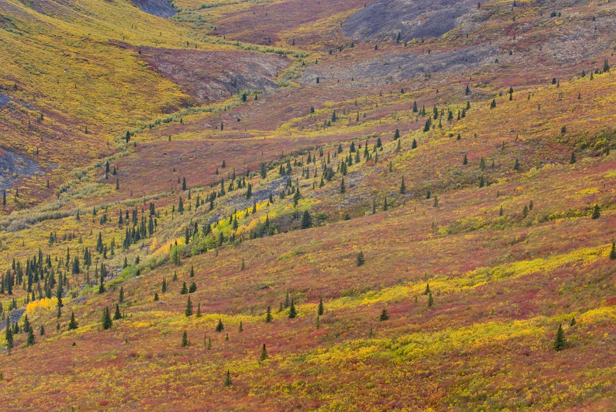
Tundra of the Grizzly Creek Valley displaying vibrant autumn colors, Tombstone Territorial Park Yukon CanadaTundra in fall color, Yukon Territory #15258 Purchase

Fall:

For me, this is the best time of the year for photographing in The Yukon. Fall colors begin to appear in the far north in mid to late August and can last into early October in the southern reaches. By the second half of August, most of the bugs are gone for the year. This season also marks the beginning of unpredictable shifts in weather patterns. One day can be sunny and warm, and the next day can be freezing with snow.

By late August the tundra is ablaze with fall color. Some of the most breathtaking landscape photography is in Tombstone Territorial Park and north to the Arctic Ocean. North of the Ogilvie Mountains is an endless sea of low mountains and rolling hills carpeted in brilliant yellow, orange, and reds.

Late August and early September can also mark the reappearance of northern lights. Combined with fall colors the northern lights offer amazing photography subject matter!

Winter:

This of course is the most challenging season in The Yukon. Very long nights, wickedly cold temperatures, and few open services mark this season. Most main roads are still open for travel but conditions can be dicey, at best. Photographing the northern lights in The Yukon in winter can yield spectacular results. However, for safety reasons, you must take your preparations to another level.

Spring:

This season may be the best time to photograph the northern lights. The surroundings still have a wintery appearance, but the days are longer and temperatures are more reasonable. Road travel is safer and services begin to open.

Yukon Territory Photography Locations
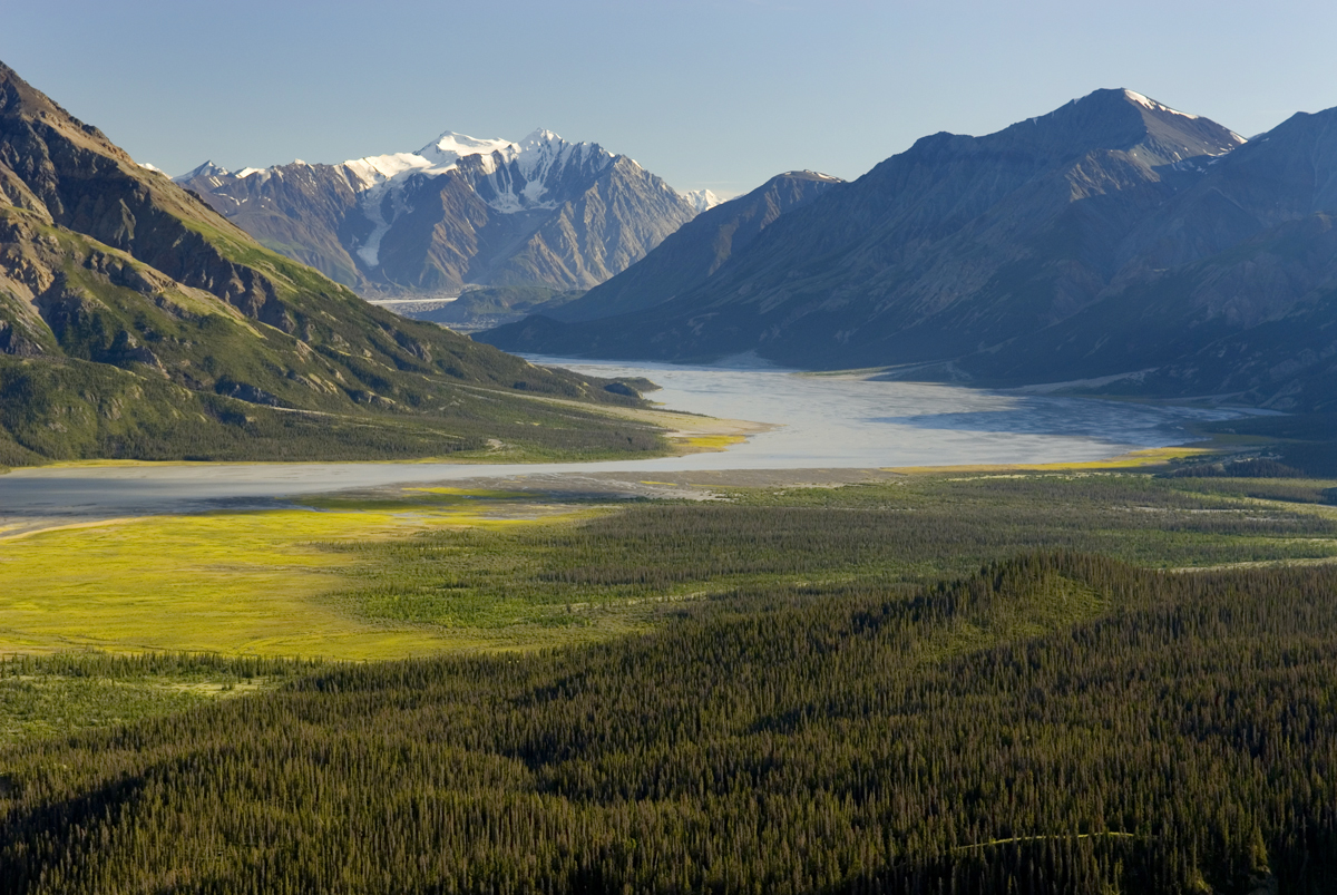
View up the Slims River Valley, Kluane National Park Yukon CanadaSlims River Valley, Kluane National Park #13552 Purchase

Kluane National Park

This large national park in Yukon’s southwest corner is home to some of the largest and most spectacular mountains and glaciers in North America. Kluane is part of the Kluane / Wrangell-St. Elias / Glacier Bay / Tatshenshini-Alsek, a Unesco World Heritage site, all of which compose a massive expanse of mountains and ice.

Kluane National Park has some of the most jaw-dropping scenery a photographer can imagine. However, for the average visitor access to it is limited to several trails on its eastern perimeter.  But, flight-seeing tours are available which will take you over the glaciers. Below are a few of the best locations accessible to photographers on foot.
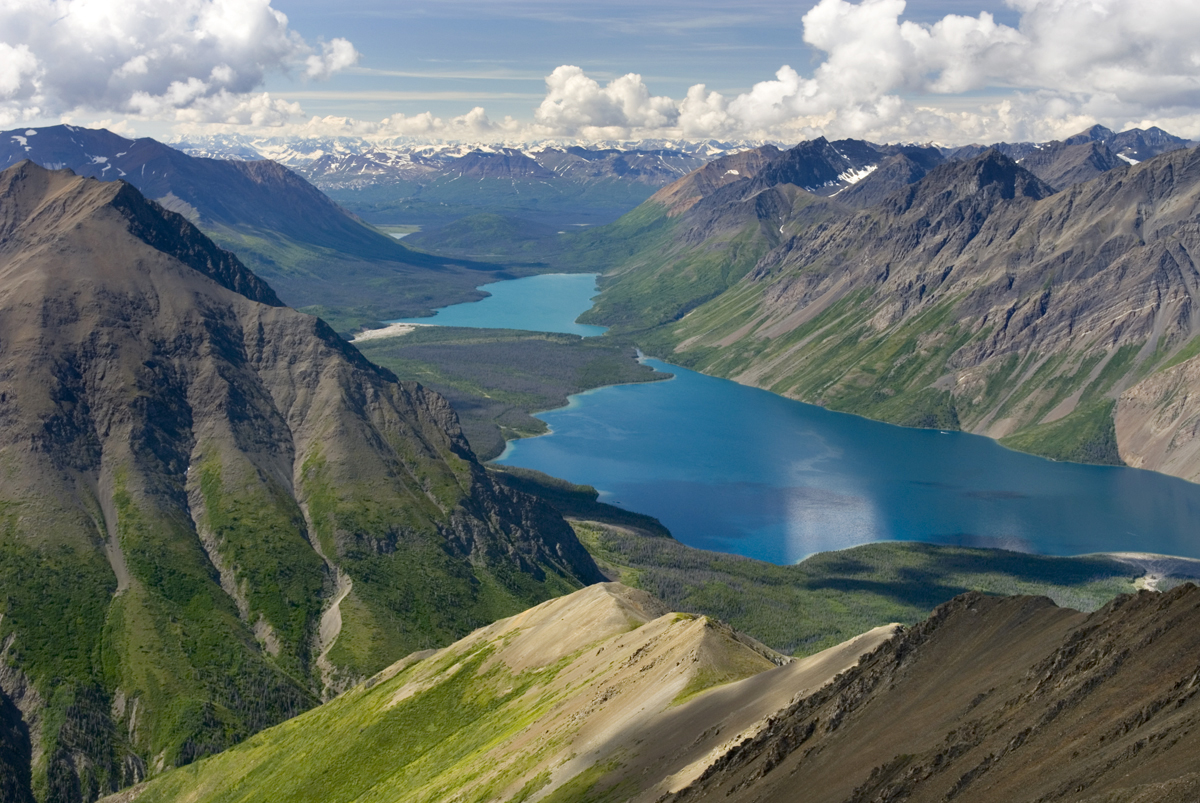
View of Kathleen Lake from Kings Throne Mountain, Kluane National Park Yukon CanadaKathleen Lake, from the summit of King’s Throne, Kluane National Park #13475 Purchase

Kathleen Lake/Kings Throne:

This location is just south of Haines Junction on the Alaska Highway. Kathleen Lake is a large and beautiful lake that is a gateway to the park’s interior. Trails along its shores offer good photo opportunities, but the best photos are from the King’s Throne.

The trail to King’s Throne can be split into two parts. The first part is a relatively easy climb to the bench of the Throne, from here there are lovely views down and across Kathleen Lake.  For photographers, the second part is the more desirable destination. The trail continues up from the bench and quickly turns into a rough and strenuous route. Views from the summit include Kathleen Lake far below, in addition, there are wonderful panoramas of the rugged glaciers and mountains of the interior of the park.

The summit of King’s Throne is one of the best destinations in the park. But keep in mind this is a difficult and strenuous hike.
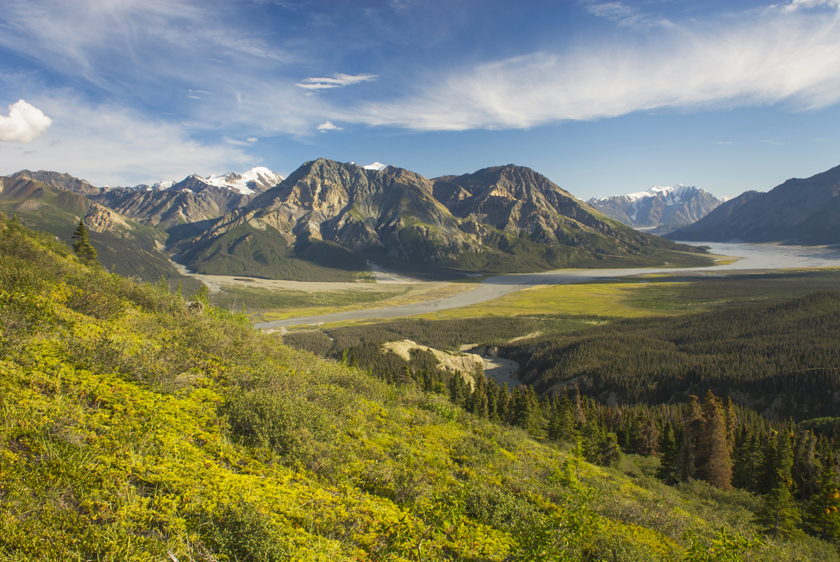
View up the Slims River Valley, Kluane National Park Yukon CanadaSlims River Valley seen from Sheep Mountain, Kluane National Park #13553 Purchase

Ä’äy Chù (Slim’s River) West/ Discovery Mountain:

This awesome destination is a 2-4 day backpack that takes you to the edge of the interior glaciers and mountains.  For photographers, however, I would recommend 3-6 days. Parks Canada rates this a difficult trip with a high possibility of bear encounters. The main valley trail ends along a campsite along the river, but the ultimate destination is the summit of Observation Mountain. From here are spectacular views of the Kaskawulsh Glacier and the interior mountains.

For those not wanting to do a long backpacking trip, the Sheep Creek Trail is a good alternative. The trail climbs up Sheep Mountain and has great views down the Slims River and beyond.
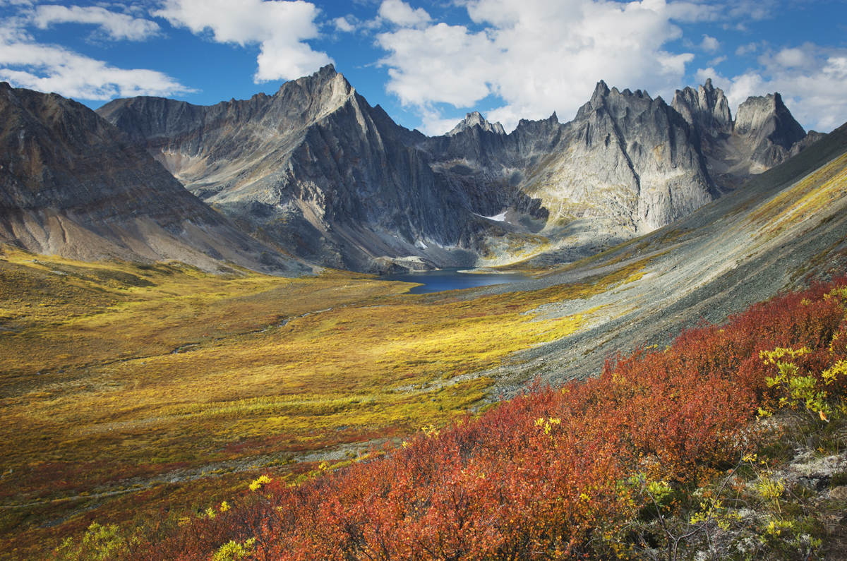
Grizzly Creek valley displaying tundra in full autumn color, Tombstone Territorial Park Yukon CanadaTombstone Territorial Park, Yukon Territory #15190 Purchase

Tombstone Territorial Park:

This is possibly the ultimate destination in The Yukon for photographers. The park is located in the Ogilvie Mountains and Blackstone Uplands, about 1.5 hours north of Dawson City on the Dempster Highway. It sits where the northern boreal forest begins to transition to arctic tundra. Because of this, photographers can compose images of brilliantly colored tundra sprinkled with stands of spruce forests, against a backdrop of rugged granite mountains, and sparkling lakes.
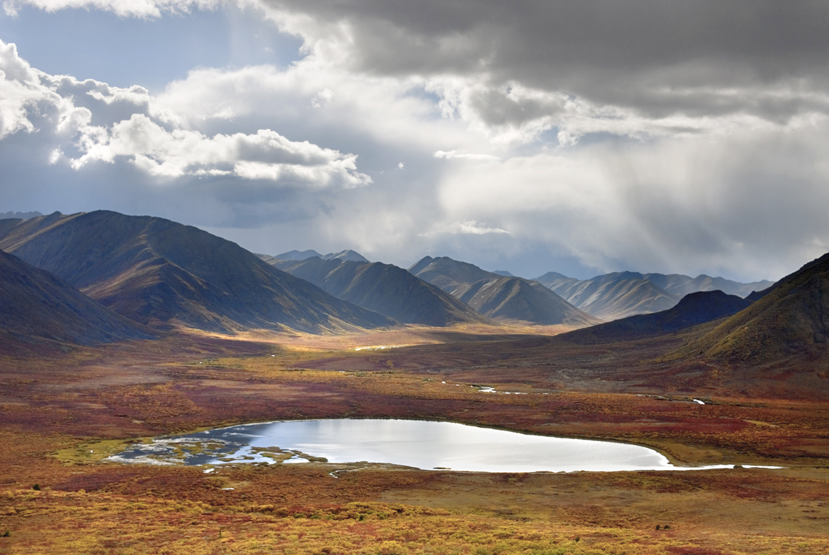
Stormy sky reflected in small lake, Tombstone Territorial Park Yukon CanadaAlong the Dempster Highway, Yukon Territory #15479 Purchase

Frontcountry:

Photographers traveling to Tombstone Park have excellent options in both front-country and backcountry. The Dempster Highway cuts through the park and has numerous scenic pullouts along the way. The most notable of these is a classic view of the Tombstone Range and Klondike River Valley.

Driving north along the Dempster there are numerous ponds lakes and creeks to use in compositions with the mountains. Be aware that the tundra terrain just beyond the road is both extremely fragile and difficult to walk on. Often the soft tussocks of lichens, mosses, and other plants live just above a watery subsurface on top of the permafrost. Walking on this terrain can easily twist an ankle, soak your feet, and kill the vegetation.
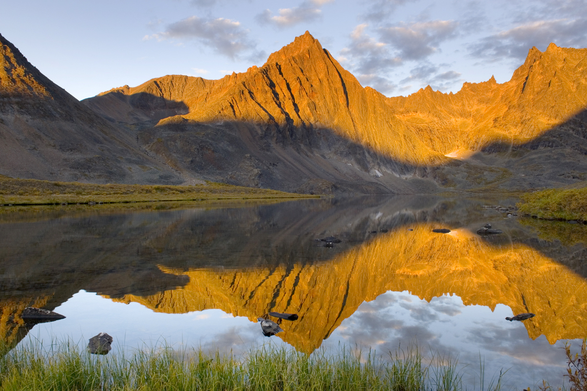
Peaks of the Tombstone Range reflected in Grizzly Lake, Tombstone territorial Park Yukon CanadaGrizzly Lake, Tombstone Territorial Park, Yukon Territory #15152 Purchase

Backcountry:

The backcountry locations of Grizzly, Talus, and Divide Lakes are the hands-down prime destinations for photographers in Tombstone Park. These lakes and their campsites lie in the heart of the park, at the base of spectacular granite spires. It is truly some of the most beautiful scenery in North America.

To visit and photograph all three lakes requires at least a four-day backpacking trip, and ideally around 8-9 days. The route to the first lake, Grizzly, is moderate to difficult. Getting from Grizzly to Talus and Divide Lakes is difficult and strenuous. However, like many backcountry destinations in Canada, with plenty of money available you can book a flight instead. Of course, for the rest of us on foot it is unbelievably annoying to hear a chopper lander near your tent!

Reservations Woes:

Unfortunately, Tombstone Territorial Park has joined the growing list of locations succumbing to internet popularity. Reservations in advance are required for all three of the above backcountry lake campsites.  There are no spots set aside for walk-up reservations, consequently, you are out of luck if you arrive without one. Reservations fill up for the entire season within minutes of becoming available early in the year.
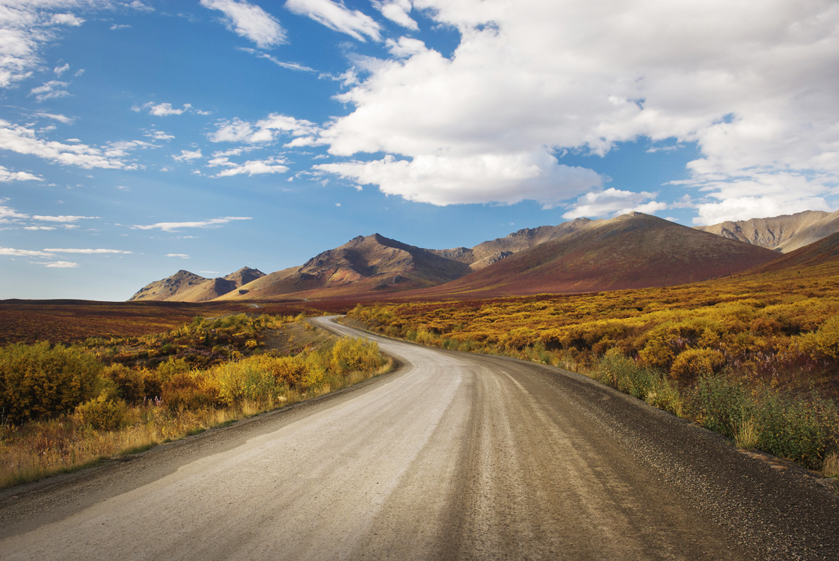
The Dempster Highway winding its way through the Ogilvie Mountains, Tombstone Territorial Park Yukon CanadaThe Dempster Highway, Yukon Territory #14903 Purchase

Dempster Highway and the Arctic:

For the ultimate trip, driving the complete length of the Dempster Highway and Inuvik Tuktoyaktuk Highway is a once-in-a-lifetime adventure. It is an 887km (551 miles) drive from Dawson City to its end at Tuktoyaktuk on the Arctic Ocean. This well-maintained but unsurfaced road passes through numerous great photo opportunities. To name a few, Dawson City, Tombstone Territorial Park, Blackstone Uplands, the Richardson Mountains, Pingo National Landmark, end of the road on the Arctic Ocean.

Lake in the Blackstone Plateau reflected clouds and hills of the Ogilvie Range, Yukon Canada Yukon Territory PhotographyBlackstone Uplands, Yukon Territory #15390 Purchase

Practical Tips for Yukon Territory Photography

Just about anywhere in The Yukon can be considered a remote location. You’ll need to prepare for self-reliance for the duration of your trip. This includes photography equipment. The city of Whitehorse may be your only option for photography gear stores.

  • Bring your entire photography kit, be prepared for everything!
  • Similar to other locations, allow yourself plenty of extra time for weather and lighting. Be flexible with your itinerary, and prioritize locations.
  • Cell service will be extremely limited to non-existent outside of towns
  • Stock up on food, water, and supplies in major towns, small towns may be nothing more than a gas station.
  • Keep an eye on your gas gauge, and check the distance to the next gas station.
  • Have a mechanic check your vehicle in advance.
  • Bring an emergency vehicle kit and at least one spare tire.
  • Electric vehicle charging stations are very limited. At this time, there are none on the Dempster Highway.
  • Bring bug repellant and or head nets.
  • Bring Bear Spray and, above all,  know how to use it effectively. Bear encounters are possible nearly everywhere in The Yukon. Educate yourself on traveling in bear habitat, and always be on the alert!
  • Pack clothing and gear for all weather conditions, including winter clothing and gear even in summer.
  • Check-in with visitor’s centers for local advice on weather, road, and trail conditions.
  • Enjoy your Yukon Territory photography trip!
Peaks of the Tombstone Range from Glissade Pass, Tombstone Territorial Park Yukon Canada Yukon Territory PhotographyTombstone Territorial Park, Yukon Territory #15116 Purchase

Leave No Trace in the Yukon Territory

Please Please Please!  Don’t plan a trip to this or any other wilderness area unless you are willing to follow the guidelines of Leave No Trace (LNT). Mount Baker Wilderness and all other wilderness areas throughout the world are under incredible pressure from growing amounts of visitors. Please do your part to help preserve these precious areas for future generations!

To learn more about the principles and practicing LNT please take a few minutes to visit the Leave No Trace Center for Outdoor Ethics. Your children, grandchildren, and the Earth will thank you!

Seven Leave No Trace Principles

  • Plan ahead and prepare.                                       
  • Travel and camp on durable surfaces.                 
  • Dispose of waste properly.                                                                         
  • Leave what you find.                                            
  • Minimize campfire impacts (be careful with fire).
  • Respect wildlife.  
  • Be considerate of other visitors

Thanks for reading, feel free to share this post with your friends and colleagues!

Learn about how to protect the places we love to photograph
Visit the Nature First Website

Nature First the alliance for responsible nature photography


Want to learn more, or have a professional photographer guide you in the field? Then take your Creative Photography to the next level with  Private Instruction and Guided Photo Tours.

Photos appearing in  Yukon Territory Photography are available for Commercial Licensing and Fine Art Prints. Click on any image to purchase, or contact me for more info!

Yukon Territory Photography

Tawlks-Foster Suspension Bridge and fall foliage along the Methow River near Mazama Washington

Methow Valley Fall Foliage

Methow Valley Fall Foliage

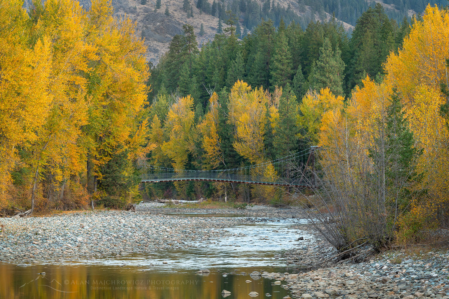
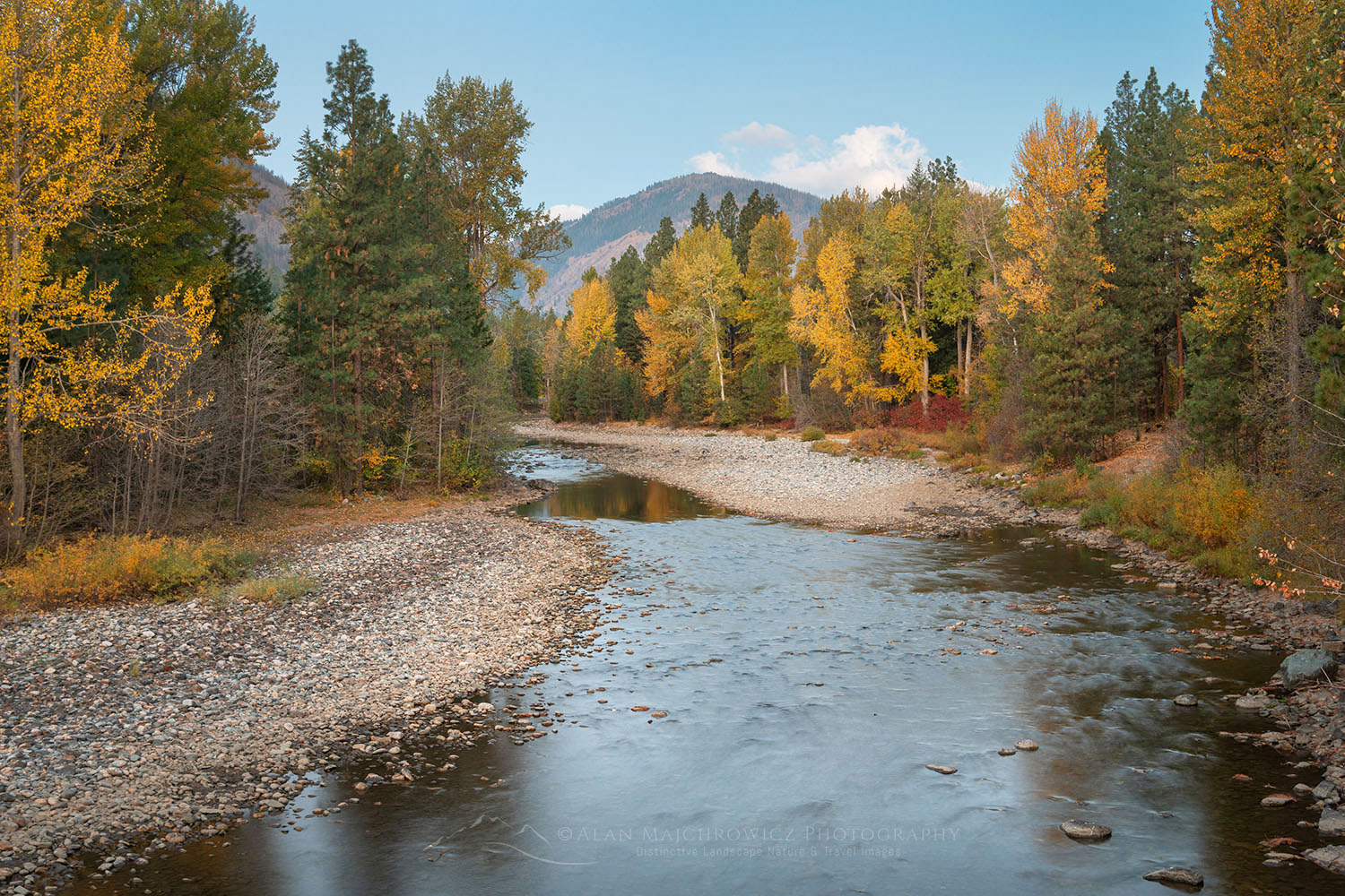
Tawlks-Foster Suspension Bridge and fall foliage along the Methow River near Mazama WashingtonFall Foliage along the Methow River #78824  Purchase

One of the premier destinations of the North Cascades is the Methow Valley. This beautiful mountain valley is a paradise for outdoor enthusiasts in all four seasons. There are great trails for hiking and biking in spring, summer, and fall. And in winter Methow Trails boasts the largest cross-country ski trail system in North America. In support of all these activities, there are numerous options for lodging, great dining, and plenty of places to rent gear.

Just outside the Methow Valley in Okanogan National Forest are the Pasayten Wilderness, the Chelan-Sawtooth Wilderness, North Cascades Scenic Highway, and North Cascades National Park. All of this natural beauty is also a magnet for landscape, nature, and wildlife photographers like me. I’ve been coming to the Methow Valley and its surroundings for nearly 40 years and still find new places to hike and photograph!

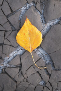
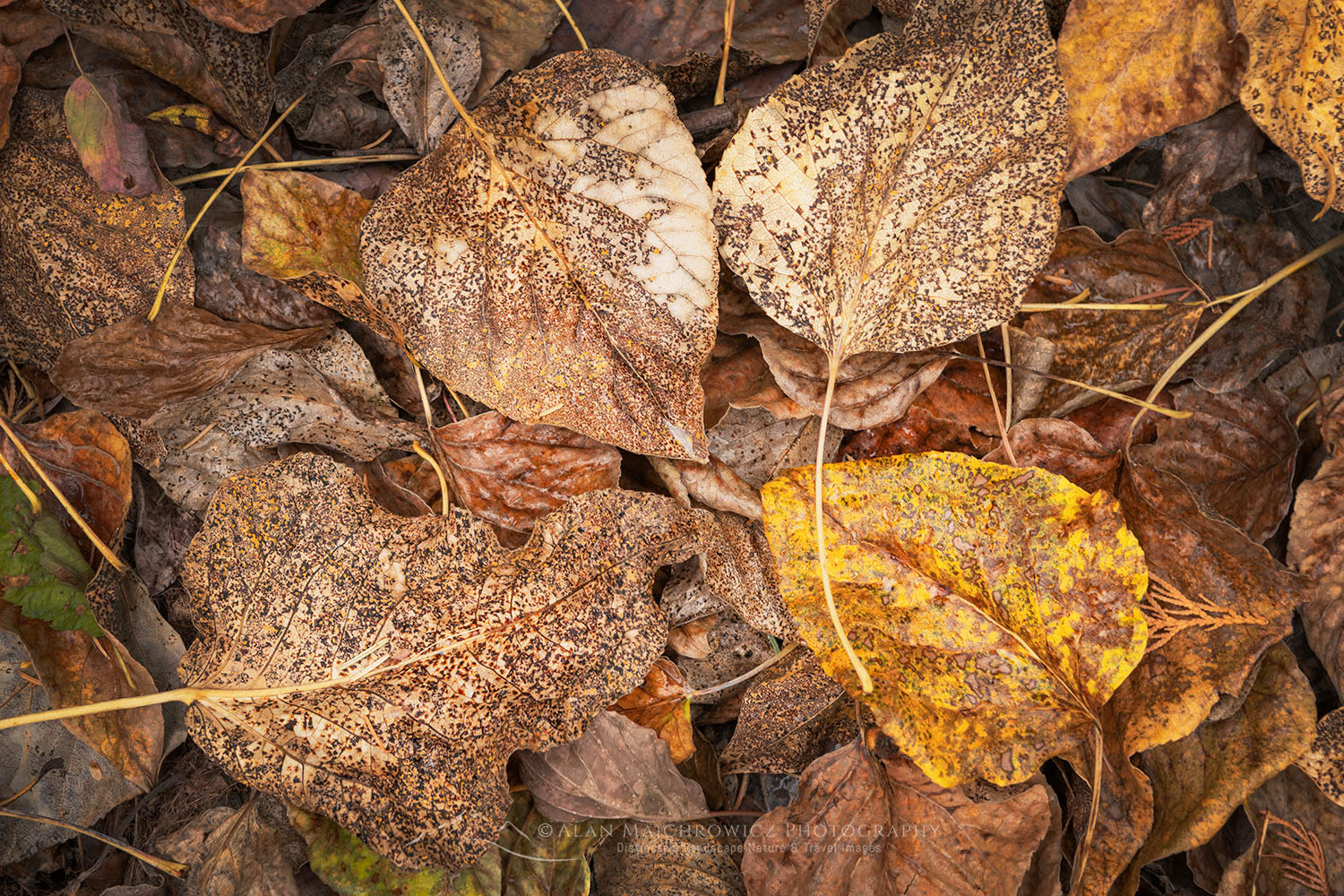
Cottonwood leaf on cracked mud along the Methow River near Mazama WashingtonCottonwood leaf #78721  

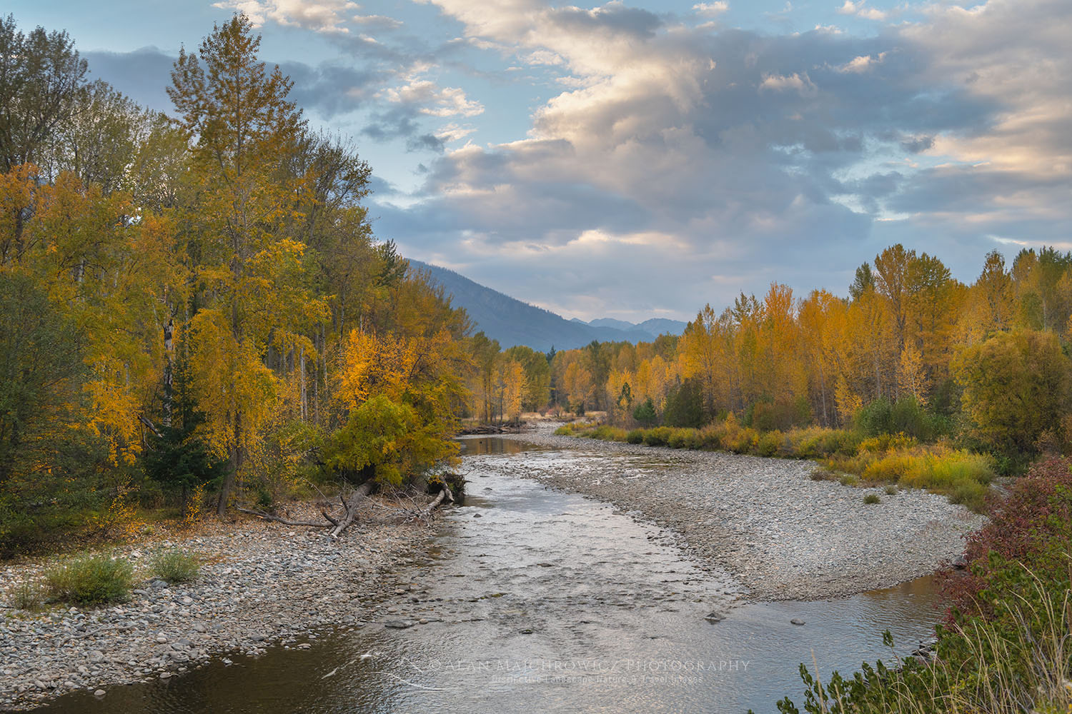
In this post, I aim to provide a short introductory guide for photographing fall colors in the Methow Valley. It focuses on only a small segment of a large area and certainly is not all-inclusive. This is one of those places you’ll end up returning to over and over again in all seasons. So part of the fun is exploring and making your own discoveries!

This October I made a short excursion to the valley in search of fall color. Most of the excitement in the area during this time of the year is around the subalpine larches. However, these gorgeous trees are found at higher elevations, with their needles turning bright gold in early fall. Fall color in the Methow Valley itself comes a few weeks after the larch show has faded.

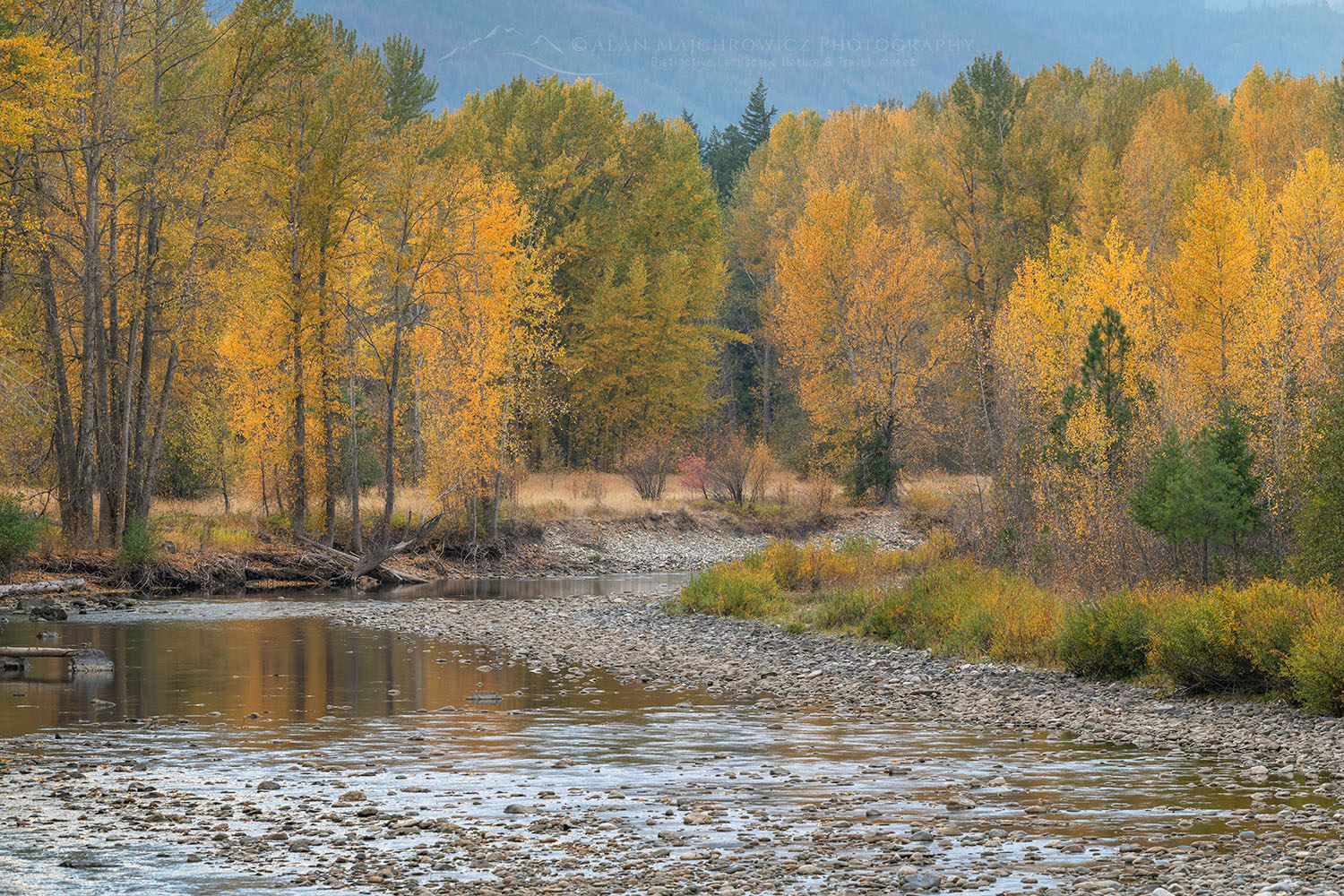
Fall foliage along the Methow River near Mazama WashingtonMethow River near Mazama #78724  

Methow River along Lost River Road

On this trip, my focus was mainly on the Methow River in the vicinity of the small hamlet of Mazama. And of course, the obligatory stop at Washington Pass was also part of the itinerary. For photographers, there are several good spots to photograph far color along the river.

The first spot is from the bridge on Lost River Road between Highway 20 and Mazama. From the bridge, there is a nice curve to the river to give a bit of movement in compositions. Although there are nice compositions along the riverbed one must be careful to observe private property in the area. It’s really not too clear if property lines here include gravel bars along the river.

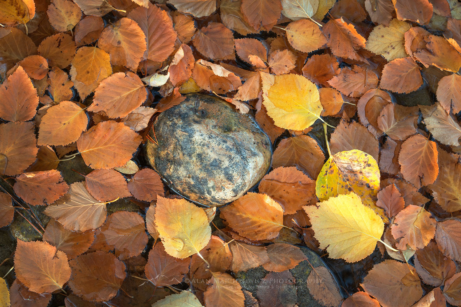
Fallen leaves along the Methow River WashingtonFallen leaves along Methow River #78829  

Following Lost River Road northwest towards the upper Methow River and Hart’s Pass, there are a few more photo opportunities. There are plenty of colorful aspens and cottonwoods along the river here. Although in a dry year in the fall the river can often disappear under gravel bars in this vicinity. Further on the road enters national forest land and gives access to a number of outstanding backcountry trails.

After the road becomes gravel the forest is mostly coniferous with only sparse color from deciduous trees. The forest understory here has a sprinkling of color, but for the most part, isn’t great for foliage photography.

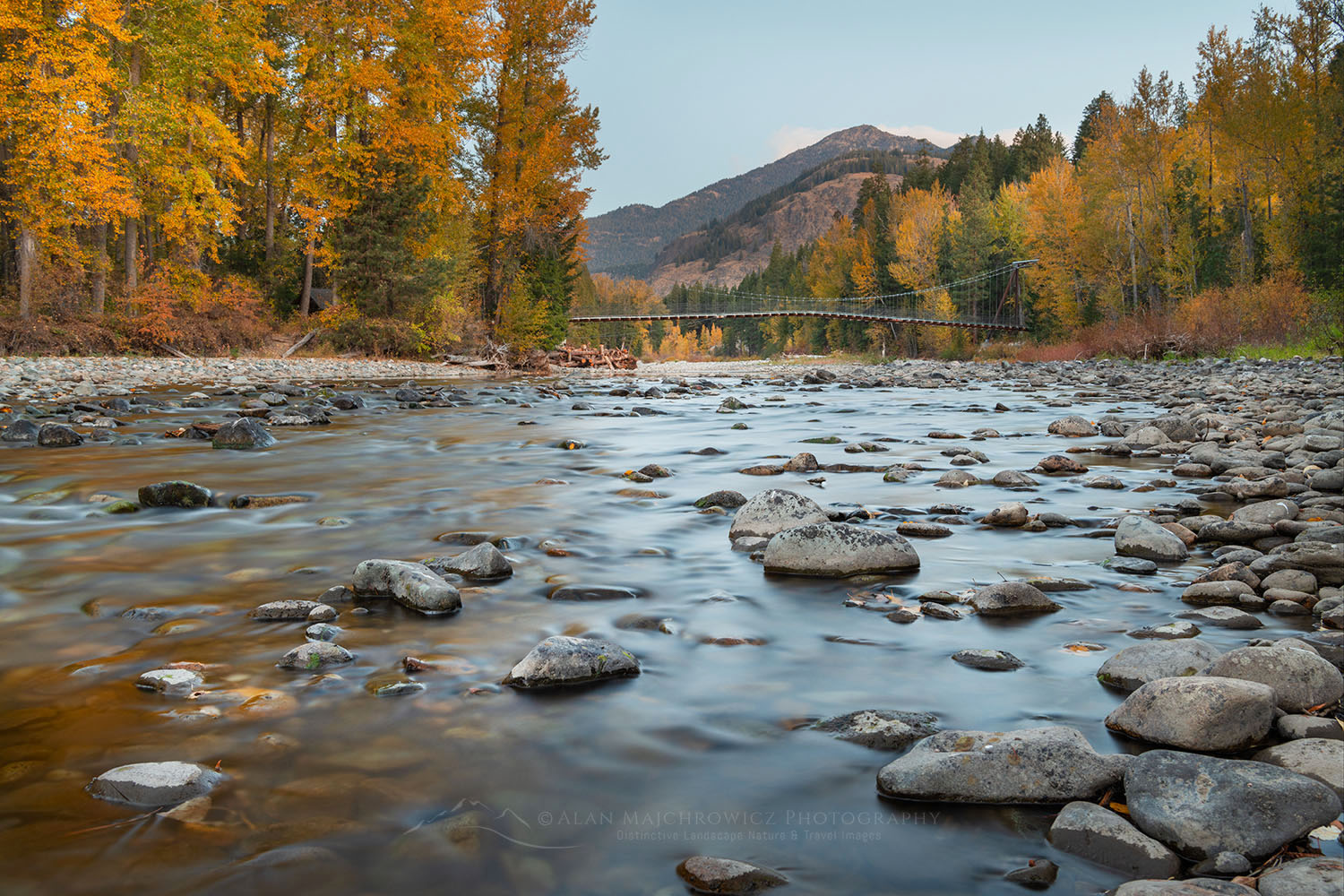
Tawlks-Foster Suspension Bridge and fall foliage along the Methow River near Mazama WashingtonMethow River and Talks-Foster Bridge #78810  

Methow River along Goat Creek Road

In the opposite direction from Mazama, the route to follow is Goat Creek Road.  This short paved road heads southeast toward Winthrop and joins Highway 20 near the Goat Creek Bridge. Along the way are a few more good photo ops, including some nice open fields and a few roadside pullouts.

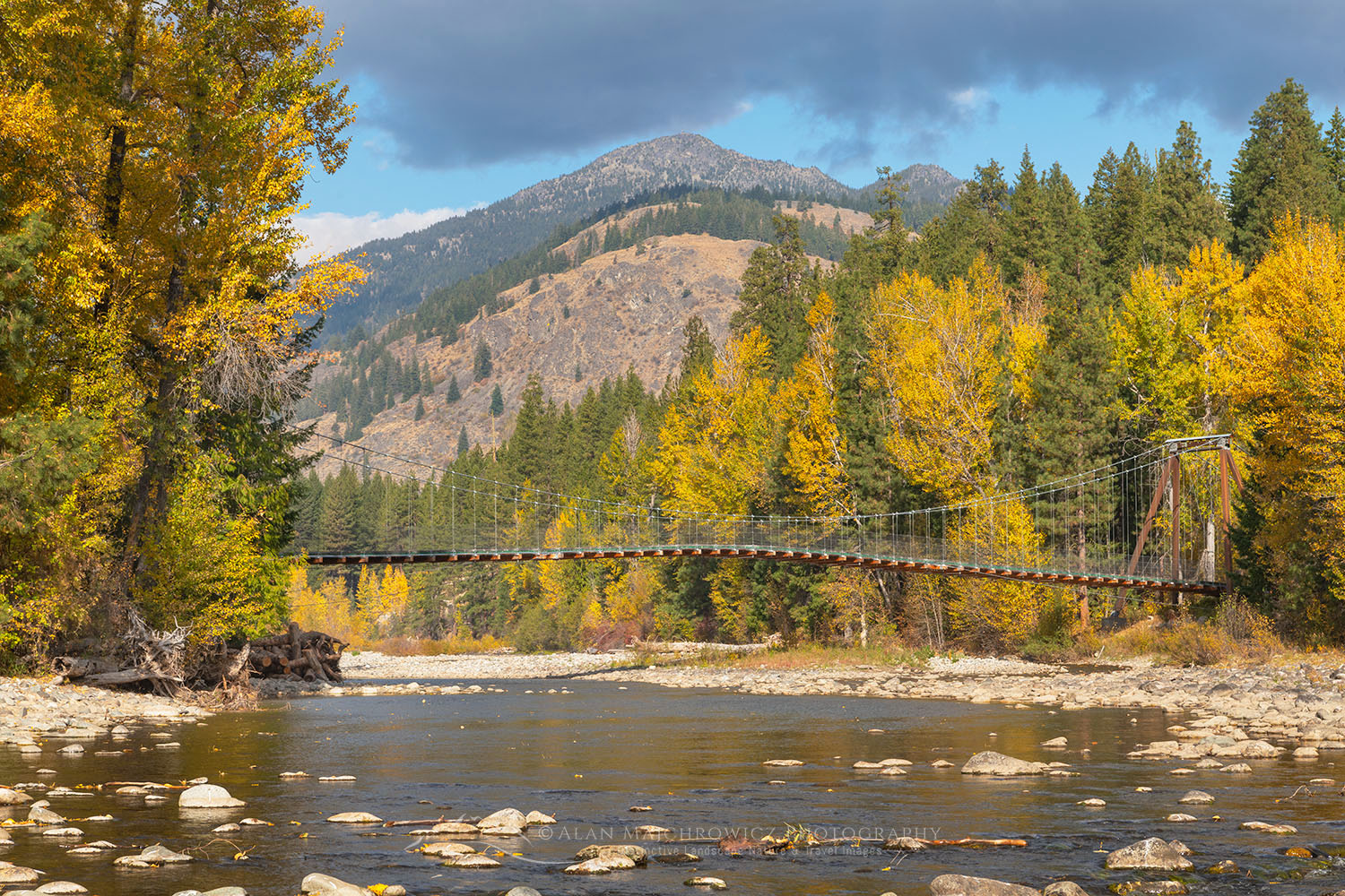
Tawlks-Foster Suspension Bridge and fall foliage along the Methow River near Mazama WashingtonTalks-Foster Suspension Bridge #78784  

One of the nicest spots to check out is at the Tawlks-Foster Suspension Bridge over the Methow River. This lovely location is accessible by a short half-mile walk on the Methow Community Trail. This trail is also part of the greater winter-summer network of trails in the valley. Off Goat Creek Road there is a small trailhead parking area that you can easily miss if you blink an eye.

Further down Goat Creek Road near its end by Highway 20 is one especially nice pullout along the river. It’s similar to the bridge view at Mazama but there is more color and the view is a bit wider.

Fall foliage along the Methow River near Mazama WashingtonFall Foliage along the Methow River #78789 

Methow Valley Along Highway 20 and Beyond

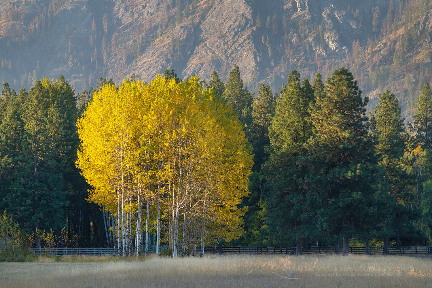
Along Highway 20 from Early Winters campsites to Winthrop are several good displays of fall color in various settings in forests and meadows. Unfortunately, fall color isn’t uniform throughout the valley. There may be good color in the vicinity of Mazama and little color nearer the town of Winthrop.

Fall foliage along the Methow River near Mazama WashingtonAspens Methow Valley #78753 

Driving south from Winthrop to Twisp and further on to the Columbia River offers more possibilities. And of course, there is also good color up Highway 20 at Loup-Loup Pass. However, those areas will have to be part of a future post.

Cottonwood trees in fall foliage along the Methow River near Mazama WashingtonCottonwood Tree Methow Valley #78830  

If you Go to the Methow Valley

Timing:  Good fall color depends of course on many factors and there are no set days for peak color. However, generally in the valley towards the end of October is best. If Larch season is your goal then the last week of September until around October 10 is usually best. See my post, North Cascades Larch Madness for more info.

Access:  Drive either from the west over North Cascades Highway 20, or from Wenatchee in the south take U.S. Highway 97 north to Pateros then Highway 153-Methow Valley Highway.

*Highway 20 is closed during winter. Depending on fall storms it can close as early as October or as late as December. When planning your trip it’s worth keeping an eye on the weather forecast. It’s a long drive back over the mountains via Stevens Pass if North Cascades Highway suddenly shuts down due to storms.

Lodging:  For those like me who prefer camping there are numerous options. Early Winters Campground on Highway 20 is the most accessible. There are also two National Forest campgrounds on Lost River Road, plus primitive random camping in Okanogan National Forest.

There are plenty of motel and resort options throughout the valley and Winthrop area. Arguably the premier lodging is at Sun Mountain Lodge and Freestone Inn. Part of the winter-summer trail system can also be accessed from your room door at both Sun Mountain Lodge and Freestone Inn.

Helpful Links:
Methow Trails
Okanogan National Forest
Winthrop Washington
Freestone Inn
Sun Mountain Lodge
North Cascades Highway/Cascade Loop Scenic Drive

Hazy ridges North CascadesHazy ridges North Cascades #78787  

Photography Gear Tips:
Since this area is mostly accessed by driving or short easy trails I would recommend bringing everything you have. My personal kit includes the following and covers most opportunities. Of course, wildlife photographers will want to bring longer telephoto lenses.

Nikon D850
Nikkor Lens:
14-24mm 2.8G ED
24-70mm 2.8E ED
70-200mm 2.8E FL ED
Gitzo 1532 Tripod
Really Right Stuff B-55 Ball Head
B+H Polarizing Filter
Vello FWM-N2 Remote Shutter Release

Fallen Cottonwood leaves in the Methow Valley WashingtonFallen leaves Methow Valley #78718  

Leave No Trace

Please follow the guidelines of Leave No Trace (LNT). The Methow Valley and all other natural areas throughout the world are under incredible pressure from growing amounts of visitors. Please do your part to help preserve these precious areas for future generations!

To learn more about the principles and practicing LNT please take a few minutes to visit the Leave No Trace Center for Outdoor Ethics. Your children and grandchildren will thank you!

LEAVE NO TRACE SEVEN PRINCIPLES

1. Plan Ahead and Prepare
2. Travel and Camp on Durable Surfaces
3. Dispose of Waste Properly
4. Leave What You Find
5. Minimize Campfire Impacts
6. Respect Wildlife
7. Be Considerate of Other Visitors
© Leave No Trace: www.LNT.org

*Also, be respectful of private property. Many of the locations in this post are adjacent to private property. The Methow Valley Trail system often crosses private property boundaries and exists due to the blessing of local property owners. 

Learn about how to protect the places we love to photograph
Visit the Nature First Website
Nature First the alliance for responsible nature photography


Fall foliage along the Methow River near Mazama WashingtonFall foliage along the Methow River #78802 

If you enjoyed reading Methow Valley Fall Foliage please share it with your friends and family. 

Photos appearing in Methow Valley Fall Foliage are available for Commercial Licensing and Fine Art Prints. Click on any image to purchase, or contact me for more info!

Oxbow Bend Grand Teton National Park

New Additions Fall 2021

New Additions Fall 2021

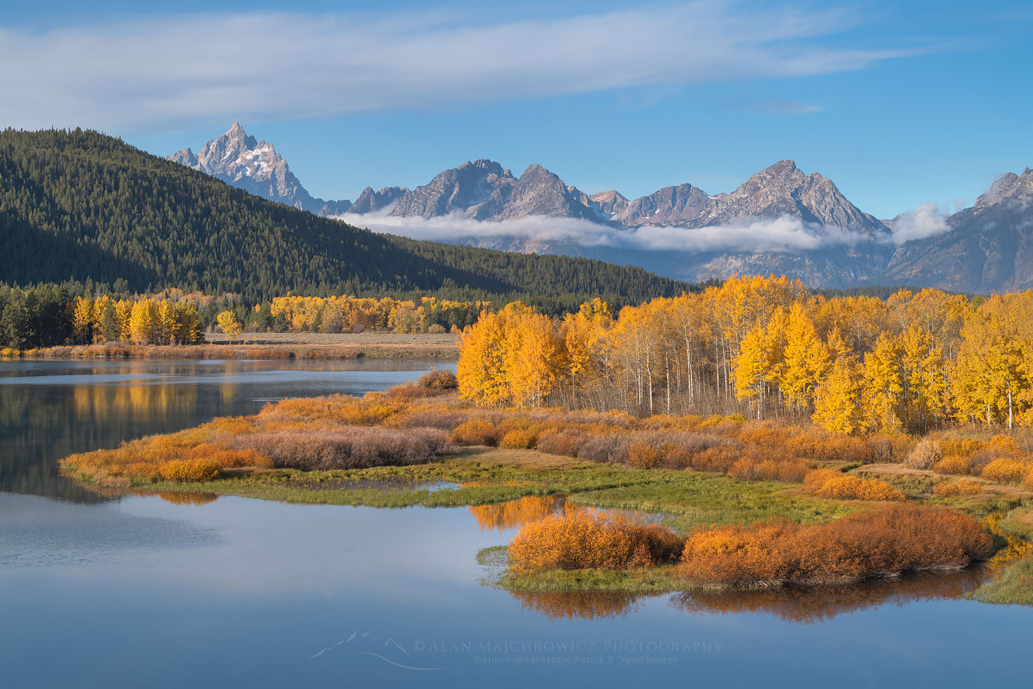
Oxbow Bend Grand Teton National Park New AdditionsGrand Teton National Park  #74160  Purchase

After nearly three weeks of editing and processing files from my recent SW trip the first group of new additions is ready to view. It is always fun to relive the trip by processing new images.  Since returning home it has rained nearly every day, with some newsworthy storms causing flooding. So working on photos from the warm dry Southwest provides a nice respite from the soggy weather outside.

This first group of new releases contains images from the following locations.

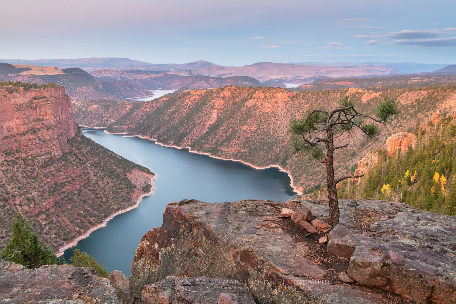
Red Canyon Flaming Gorge National Recreation Area New AdditionsFlaming Gorge National Monument  #74267  Purchase

New Additions from New Locations

Flaming Gorge was an interesting location in that it was on the very edge of the Colorado Plateau. Since the Red Canyon area was nearly deserted it was also a welcome relief from the crowds of Grand Teton National Park. Crowds are an ever present issue when visiting national parks, especially in the Southwest. Even in the shoulder seasons of spring and fall there is no escape.

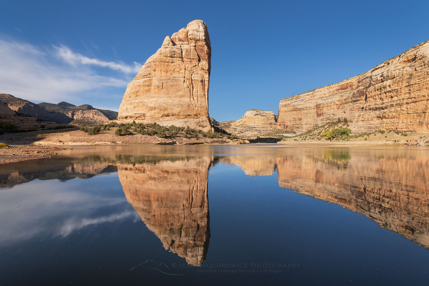
Steamboat Rock Dinosaur National Monument New AdditionsSteamboat Rock Dinosaur National Monument  #74439  Purchase

Dinosaur National Monument was another first time visit location for me. It’s always exciting to explore and photograph new territory.  In Dinosaur I was like a kid in a candy store! This was especially true on the thrilling ride to the remote camp at Echo Park. A sometimes rough 13 mile dirt road ends at a beautiful primitive camp alongside the Green River. Along the way are historic ranches and Fremont Petroglyphs. At Echo Park the scene is dominated by the imposing monolith of Steamboat Rock. Overall this was one of the most enjoyable and memorable locations on the entire trip.

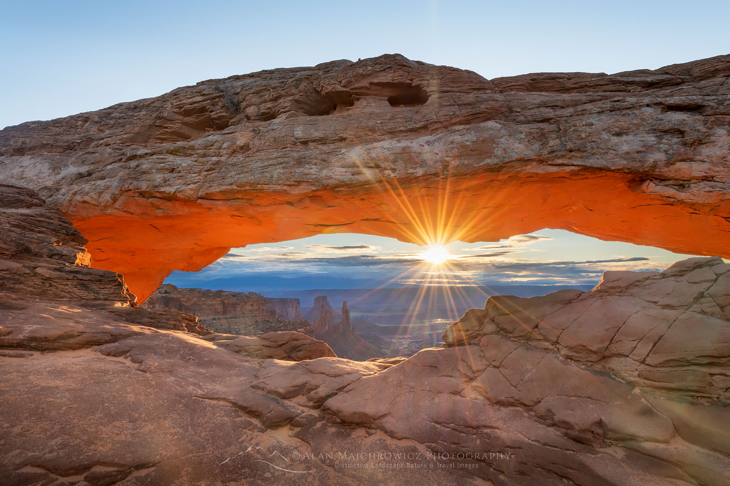
Mesa Arch Canyonlands National ParkMesa Arch Canyonlands National Park  #74540  Purchase

More New Images Coming Soon

In several weeks I should have another group of new additions ready for viewing from the following locations.  Also among this group are some new locations as well as with some I’ve photographed in several time before.

  • Bears Ears National Monument Utah
  • Natural Bridges National Monument Utah
  • San Rafael Swell, Crack Canyon
  • Goblin Valley State Park Utah
  • Factory Butte Utah
  • Capitol Reef National Park Utah
  • Coyote Gulch Grand Staircase Escalante National Monument Utah

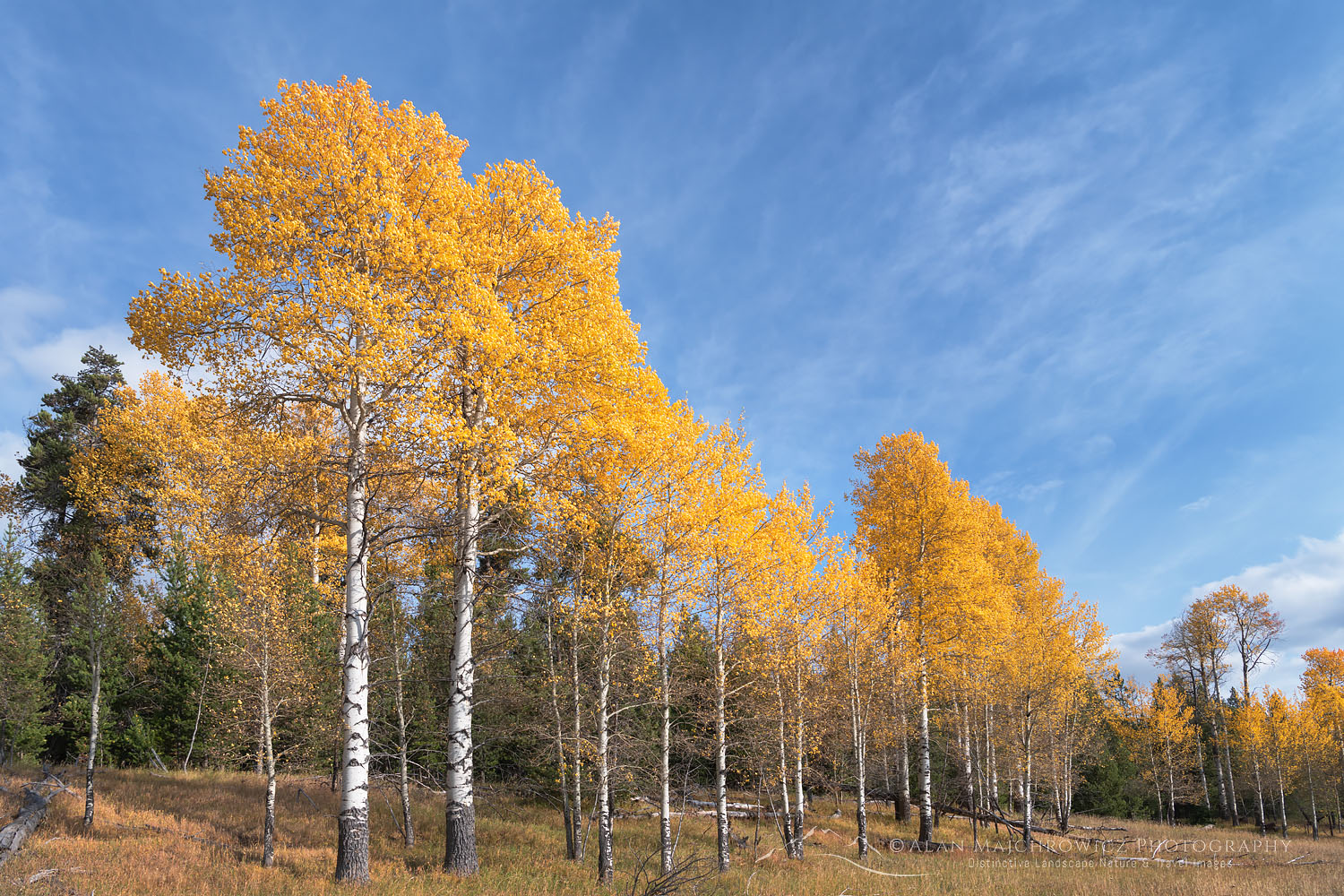
Aspens in fall color Grand Teton National ParkAspens Grand Teton National Park  #74050  Purchase

Want to learn more, or have a professional photographer guide you in the field? Then take your Creative Photography to the next level with  Private Instruction and Guided Photo Tours.
All photos appearing in New Additions Fall 2021 are available for Commercial Licensing and Fine Art Prints. Click on any image to purchase, or contact me for more info!

Purcell Mountains Larches British Columbia

North Cascades Larch Madness

North Cascades Larch Madness

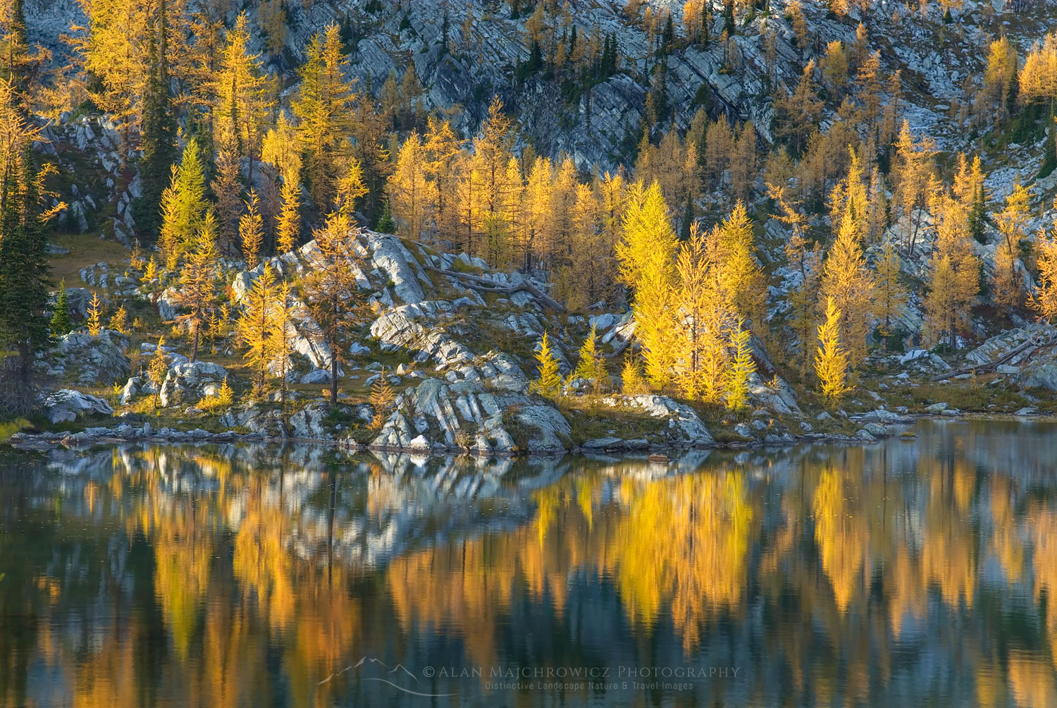
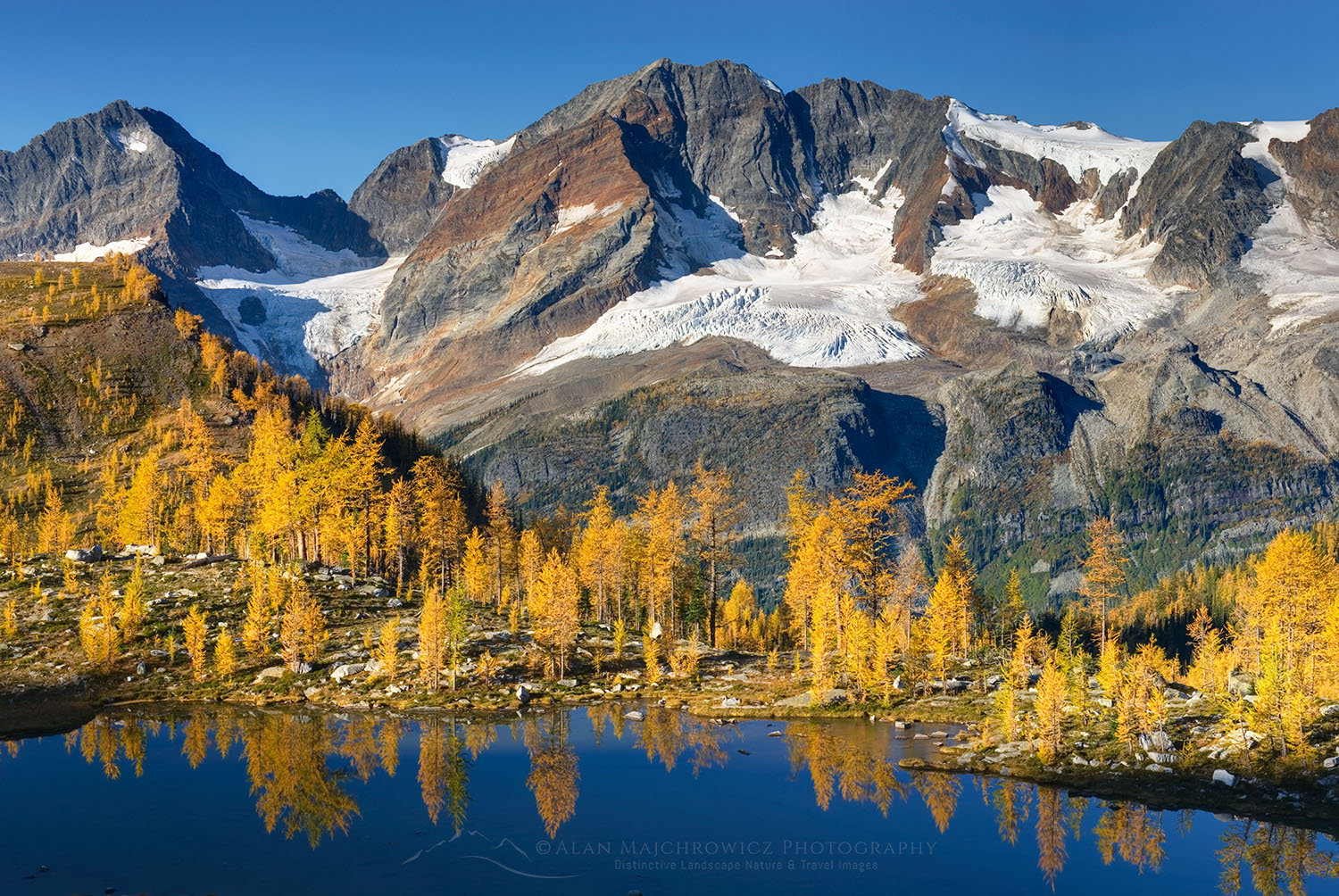
Purcell Mountains Larches British ColumbiaWestern Larch (Larix occidentalis) #25781  Purchase

Just about everybody knows that some of the best fall colors can be found in New England, or for that matter just about anywhere east of the Mississippi. The Colorado Rockies and California Sierra have their own spectacular displays of aspens, And even the Southwest can put on a good show with their cottonwoods. But in comparison, the Pacific Northwest isn’t exactly known for dazzling fall color.

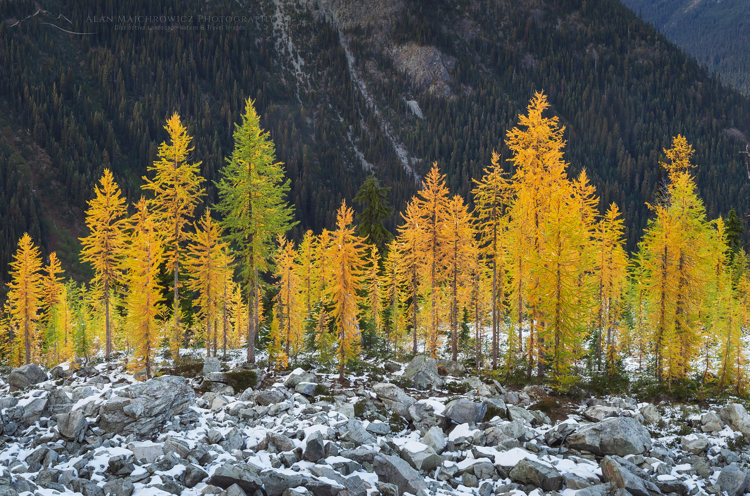
Those not familiar with the Northwest may not know about the magical displays of yellow and gold put on by two kinds of trees. I’m referring to the Lyall’s or Subalpine Larch and the Western Larch. The needles of these two unusual coniferous trees turn a brilliant gold every fall before they are shed. Both varieties grow in very specific areas. And with the right lighting, they can put just about any Vermont forest to shame. But you’ll have to do your homework and legwork to find the best displays. In this post, I’ll be concentrating on the subalpine larch variety.

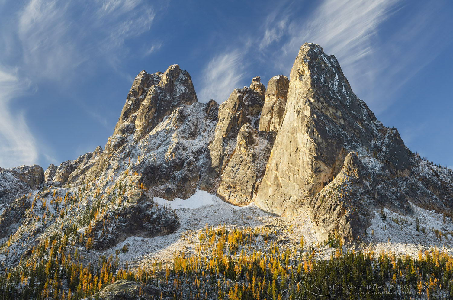
Liberty Bell Mountain North CascadesLiberty Bell Mountain North Cascades  #64568  Purchase

Locating the Subalpine Larch

The Lyall’s Larch resides in subalpine and alpine areas, generally above 5500′ on colder northeast-facing slopes, in a narrow band from the eastern slopes of the North Cascades to the Purcell and Selkirk Mountains of British Columbia. They can also be seen in the Canadian Rockies, with Lake Louise roughly being their northern limits.

In the North Cascades, you’ll have to do some hiking to get to see the best displays. Some spots, like the Enchantments of the Alpine Lakes Wilderness, demand a strenuous multi-day trek gaining over 5000′ feet of elevation along the way. Although there are some more accessible areas, such as hikes around Rainy Pass and Washington Pass on North Cascades Highway.

Hiking and photographing during the peak larch season on a calm sunny day is an experience you won’t soon forget. The sky at this altitude can be an intense blue contrasting beautifully against the vibrant gold of the trees. Tolkien fans will easily associate this experience with the Lord Of The Rings chapter on Lothlorien.

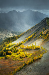
Pasayten Wilderness larches, North CascadesPasayten Wilderness North Cascades  #56448  Purchase

Timing Is Everything

Aside from finding and hiking to the desired location timing and weather is crucial. The Lyall’s Larch generally starts turning color in the last week of September. The colors peak in the first week of October and are gone by the middle of the month. The peak of the season can last anywhere from two days to a week, depending on the weather.

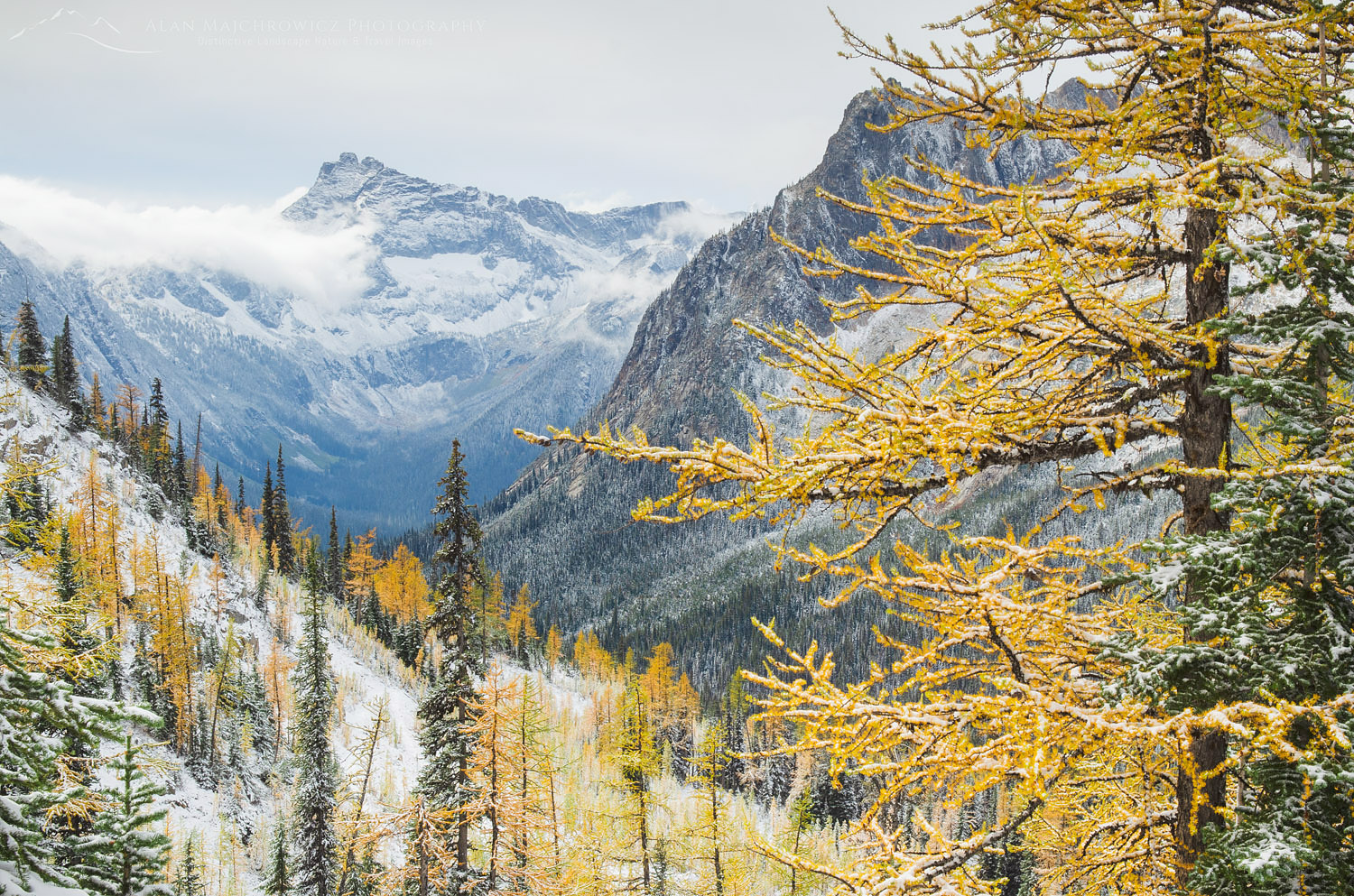
Since the needles of this tree are very soft and delicate, once they start changing color they can easily fall off in a wind rain, or snowstorm. Of course, this is also the time of year when the weather can be very unpredictable. However, seeing the larches on a clear day just after fresh snow can be a very rewarding experience.

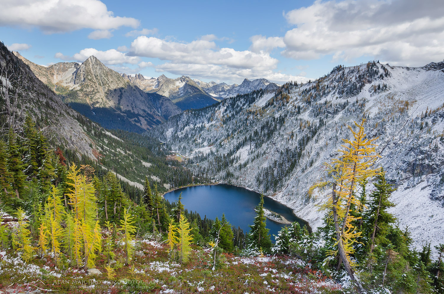
Lake Ann North CascadesLake Ann North Cascades  #64599  Purchase

A good plan would be to stay in a prime location for several days near some lakes. Clear sunny weather followed by cloudy weather and then a light dusting of snow is optimal. This happened to me one year when visiting the Purcell Mountains of B.C. After six days I came away with a wide variety of alpine landscape images. I was a bit nervous on the last day since it was snowing heavily. I wasn’t sure if my vehicle at the trailhead would be snowed in! It turned out to be a close call, several more inches could have prevented my escape.

Leave No Trace

And now for a short lecture. Larches grow in sensitive easily damaged alpine environments.  With an ever-growing crush of people seeking them out, these areas can soon show signs of overuse. As I’ve been saying in previous posts, don’t even think about visiting a wilderness area unless you are prepared to follow the guidelines of Leave No Trace (LNT). All wilderness areas throughout the world are under incredible pressure from growing amounts of visitors. So please do your part to tread lightly and help preserve these precious areas for future generations!

To learn more about the principles and practicing LNT please take a few minutes to visit the Leave No Trace Center for Outdoor Ethics. Your children and grandchildren will thank you!

Seven Leave No Trace Principles

  • Plan ahead and prepare.                                       
  • Travel and camp on durable surfaces.                 
  • Dispose of waste properly.                                                                         
  • Leave what you find.                                            
  • Minimize campfire impacts (be careful with fire).
  • Respect wildlife.  
  • Be considerate of other visitors.

Purcell Mountains Larches British ColumbiaPurcell Mountains Larches British Columbia  #25097  Purchase

If you enjoyed reading North Cascades Larch Madness please share it with your friends and family.

Also, check out Methow Valley Fall Foliage for more fall photography locations!
All photos appearing in North Cascades Larch Madness are available for Commercial Licensing and Fine Art Prints. Click on any image to purchase, or contact me for more info!

Liberty Bell Mountain North Cascades

New Images Autumn North Cascades

New Images Autumn North Cascades

Liberty Bell Mountain North CascadesLiberty Bell Mountains, North Cascades  #64469  Purchase

My final group of images from 2018 is now online and ready for viewing. As with the past several new releases I have added a selection of highlights to the New Images Gallery. You can see even more by visiting the Washington Gallery or searching by keyword/location.

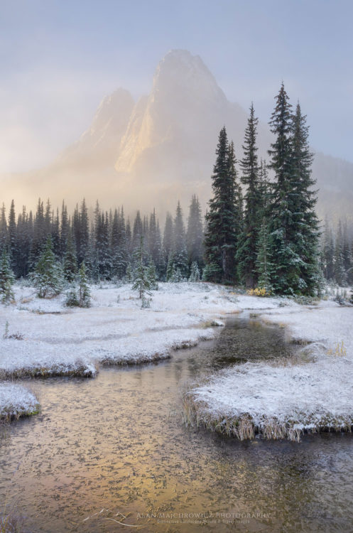
This past year I have been very fortunate to have been able to visit some exciting new locations in the Midwest and the Appalachian Mountains. However, it somehow seems fitting that the year is finishing up with a successful fall trip on my home turf. Washington Pass and Rainy Pass along North Cascades Highway are two of the most scenic sections of the state. This area holds many fond memories for me, so I’ll jump at any chance I can get to photograph there. On this most recent visit in early October, I was lucky to have both fresh snowfall and sub-alpine larches at their peak color.

Liberty Bell Mountain North CascadesLiberty Bell Mountain from Washington Pass Overlook  #64568  Purchase

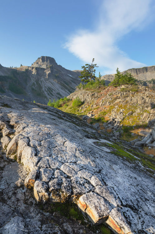
The other location included in this set is even closer to home, Heather Meadows Recreation Area. Just an hour up the road, I’ve been there many dozens of times, for photography, skiing, and hiking. This area of easy access can be very crowded in every season. So on this occasion, I hiked the Ptarmigan Ridge trail on a quiet Monday in spectacular fall weather. The next morning I photographed near the ski area just as a few clouds drifted in to herald a change of weather.

Alpine Larches North CascadesSub-alpine Larches North Cascades  #64608  Purchase

Cutthroat Pass Larches, North CascadesBlack Peak and sub-alpine larches, North Cascades  #64521  Purchase

Table Mountain North Cascades WashingtonHeather Meadows Recreation Area #64649  Purchase

Heather Meadows in autumn North CascadesTable Mountain, Heather Meadows Recreation Area  #64642  Purchase


Foster Covered Bridge, Vermont

New Images Part 2 New England

New Images Part 2 New England

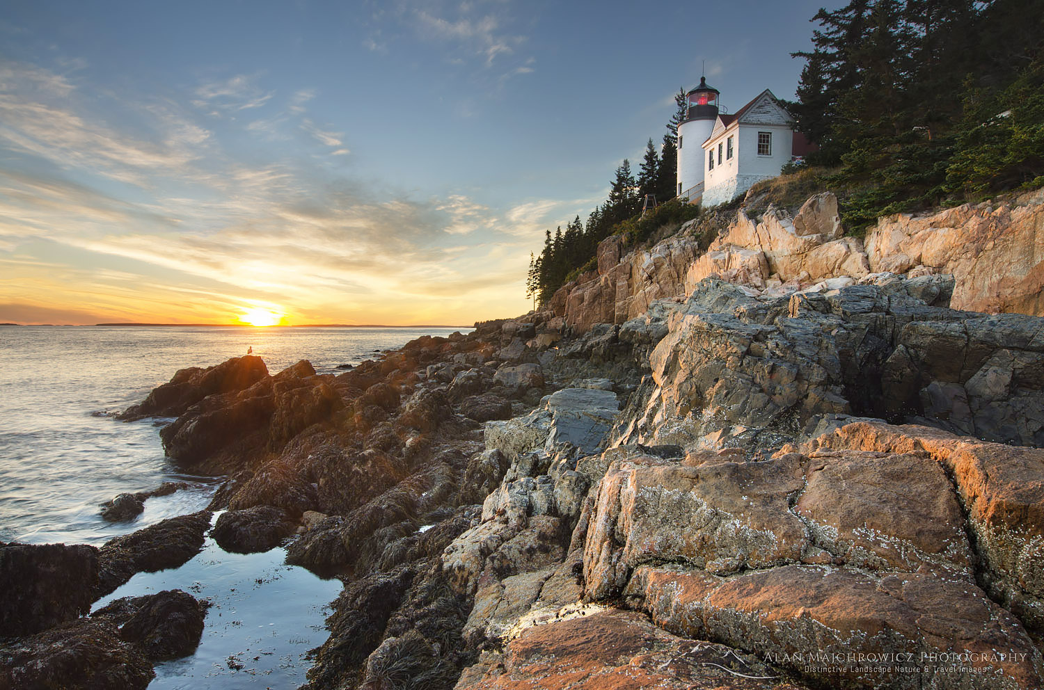
Bass Harbor Head Lighthouse, MaineBass Harbor Lighthouse, Maine  #59018  Purchase

The last portfolio of New Images from our recent photo trip to New England and Atlantic Canada is now ready for viewing. And, as always, all of the photos are ready to purchase as fine art prints and commercial licensing.

This portfolio wraps up the edit and processing of all new images from the trip. However, in the coming weeks and months I’ll most likely be revisiting many of the files to identify which can be processed into black and white or alternative styles. I’ve already began this procedure with a group I made early on in the trip in the Bay of Fundy. This group of images, composed of just sea and clouds, represents a more minimalist style of photography that I very much enjoy. Be sure to check back soon to see a new post regarding these photos!
Some of the locations included in this portfolio are:

  • Acadia National Park Maine
  • Mahoosuc region Maine
  • Grafton Notch State Park Maine
  • White Mountains New Hampshire
  • Kancamagus Highway New Hampshire
  • Franconia Notch New Hampshire
  • Stowe Vermont
  • Groton woods Vermont
  • Woodstock Vermont
  • Newfane Vermont
  • Bennington Vermont
  • Ricketts Glen Pennsylvania


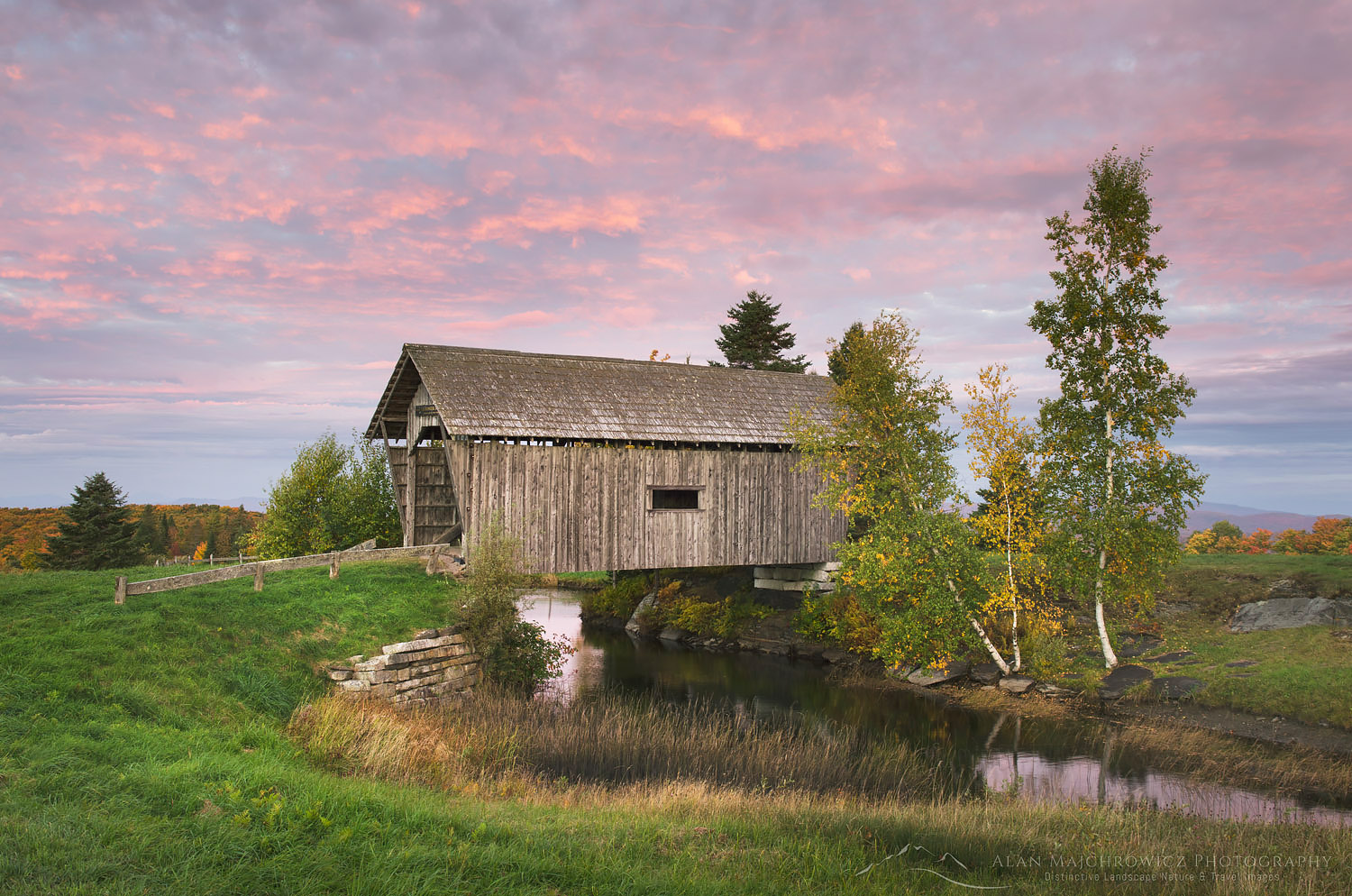
Foster Covered Bridge, Cabot VermontFoster Covered Bridge, Vermont  #59335  Purchase

Peacham, VermontPeacham, Vermont  #59321  Purchase

Bennington Battle Monument VermontBennington Battle Monument, Vermont  #59477  Purchase

Peggy's Cove Lighthouse Nova Scotia

New England Atlantic Canada Images

New England Atlantic Canada Images

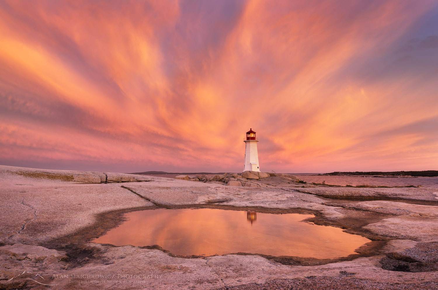
Peggy's Cove Lighthouse Nova ScotiaPeggy’s Cove Lighthouse, Nova Scotia #58903    Purchase

Wow, what a busy week since our return home after six weeks and over 10,000 miles on the road! Aside from catching up on household chores, filling client orders, and general business tasks, I have a mountain of new images to get to. I’ve just begun the lengthy task of editing and processing all the files, but have made an initial pass and found some photos that stand out. I’m getting a bit ahead of myself by doing this. I usually wait until I have completed the full editing and image processing is complete, but since this project will take several weeks to complete I’m anxious to share with you some of the highlights so far.  We’ll also be sending out regular email progress updates in the coming weeks.
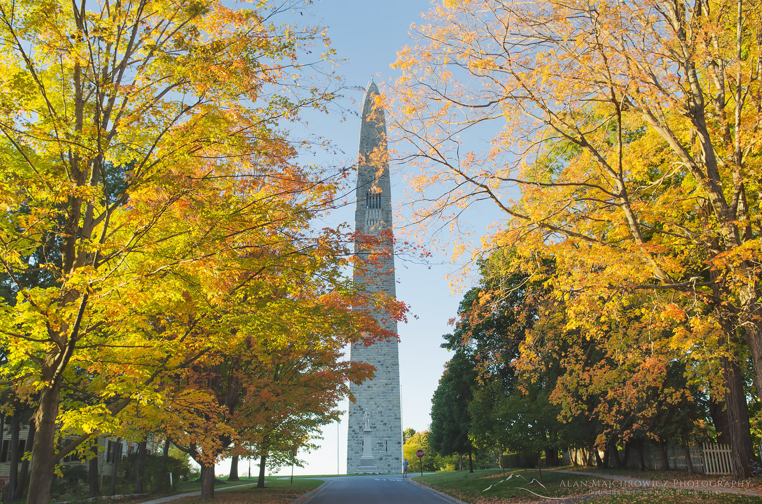
Bennington Battle Monument VermontBennington Battle Monument, Vermont  #59477    Purchase

Within the next several days I’ll be posting a full gallery of new images from the first couple of locations covered on the trip, Medicine Rocks Montana, and Watkins Glen New York. Make sure to check back often, here and on my Facebook page. And don’t forget, all of the images are immediately available for commercial licensing and as fine art prints!

Locations and subject matter covered during this trip:

Nova Scotia: Cape Breton Highlands, Cabot Trail, Lunenburg, Peggy’s Cove, Blue Rocks
New Brunswick: Bay of Fundy, Fundy National Park
Maine: Acadia National Park, Grafton Notch
New Hampshire: White Mountains, Kancamagus Byway, Franconia Notch
Vermont: Stowe, Peacham, Groton Woods, Woodstock, Bennington, Newfane, and more
New York: Watkins Glen State Park
Pennsylvania: Ricketts Glen State Park
Fall foliage, covered bridges, barns, farms, towns, fall festivals, fishing, villages, waterfalls, historic sites, coastal scenes, seasonal farm stands

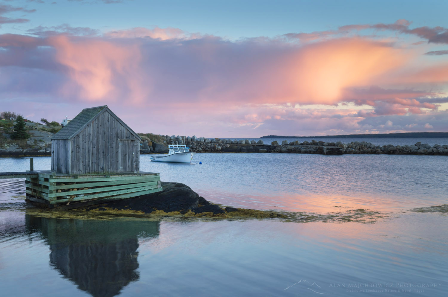
Blue Rocks Nova ScotiaBlue Rocks, Nova Scotia #58824    Purchase

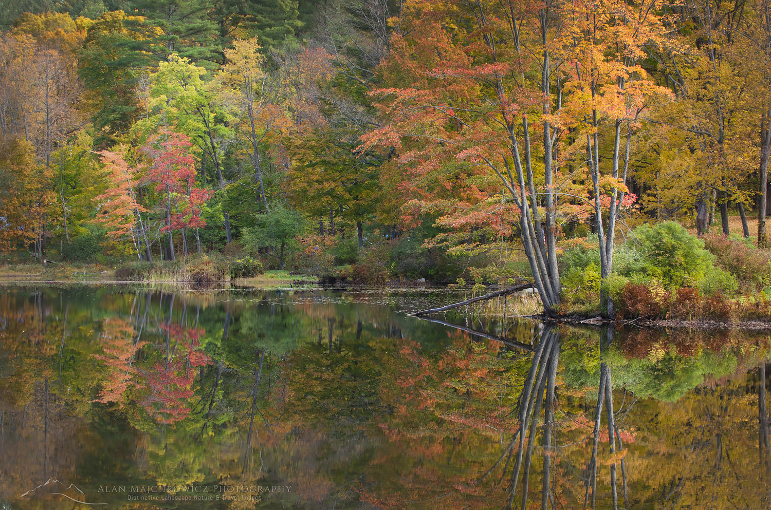
Vermont fall foliage reflection Lake PaulineFall foliage, Pauline Lake Vermont #59457    Purchase