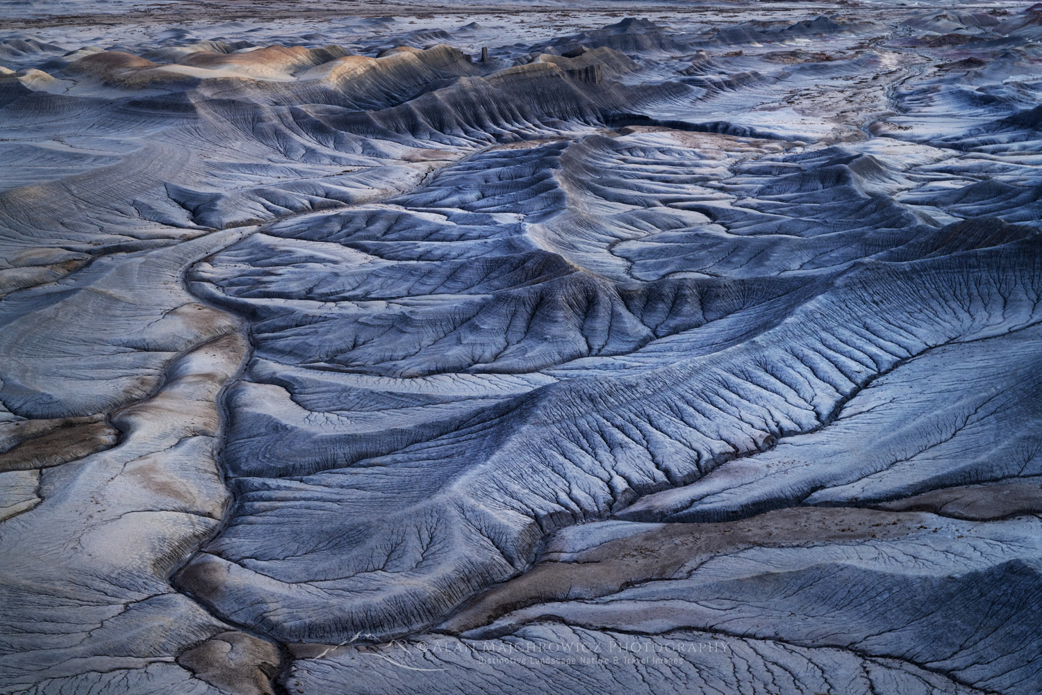
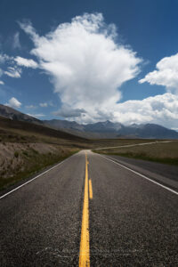
Upper Blue Hills Badlands in the Caineville Desert, Utah #84910

Photo Highlights 2024

Once again, it’s time to look back and reflect on the past year and some of the Photo Highlights of 2024. The photos in this collection represent some of my favorite images from the past twelve months.

One of the recurrent themes in my photography this past year was shapes and patterns. These are also some of my favorite photos because they represent moments I felt an overwhelming connection with the natural world. For me, having that intimate connection with the subject is an essential element that gives an image greater depth and meaning.

So here are my selections, and of course, feel free to comment and vote on your favorite. Thanks for viewing, I hope you have a joyous new year filled with peace and prosperity!

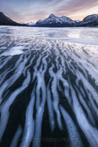
Striped patterns of snow frozen on the surface of Abraham Lake Alberta Canada #82384 Photo Highlights 20241. Abraham Lake Alberta #82384  Purchase

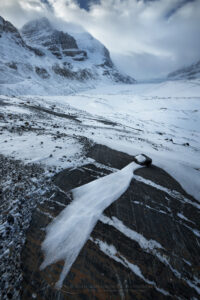
Windswept terminal moraine of Athabasca Glacier in winter, Mount Andromeda and Athabasca Glacier are in the distance. Jasper National Park Alberta Canada #82245b Photo Highlight 20242. Columbia Icefields, Jasper National Park #82245b Purchase

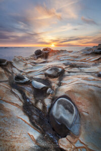
Sunset over Mineral concretions on cliffs of Shore Acres State Park Oregon #830123. Shore Acres State Park Oregon #83012  Purchase

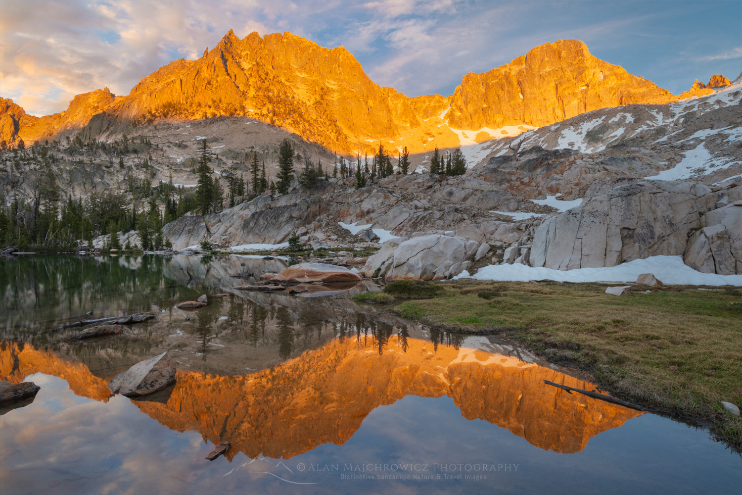
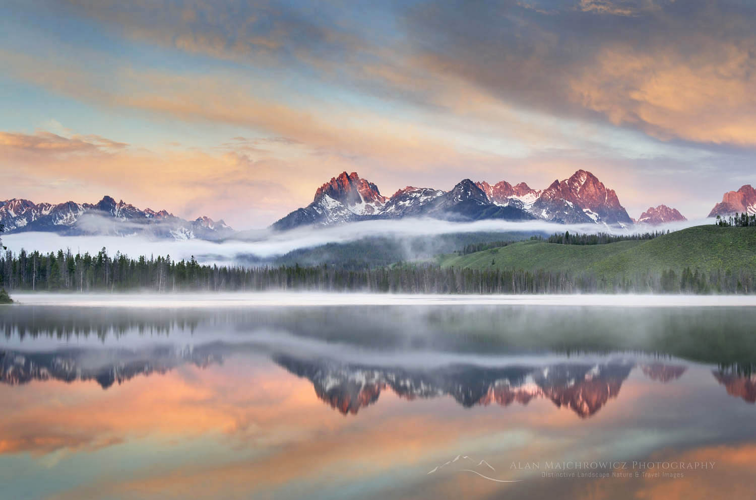
Golden light of sunset reflected on still waters of a tarn in Upper Cramer Basin Sawtooth Wilderness, Idaho #83712b Photo Highlights 20244. Cramer Lakes, Sawtooth Mountains Idaho #83712b  Purchase

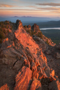
Dramatic sunrise sky over Paulina Lake and the Cascade Range seen from Paulina Peak overlook. Newberry National Volcanic Monument, Oregon #840825. Newberry Crater National Volcanic Monument Oregon #84082  Purchase

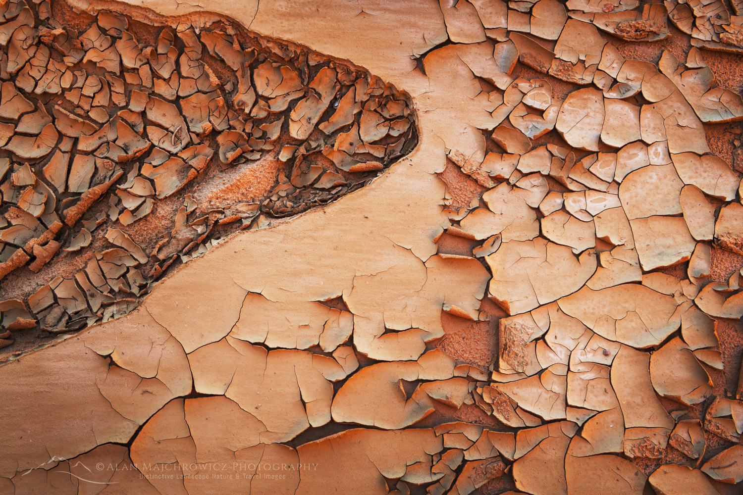
Cracked mud patterns in Harris Wash Grand Staircase-Escalante National Monument Utah #846146. Mud Cracks, Harris Wash Utah #84614  Purchase

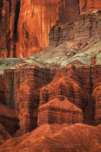
Mummy Cliffs Capitol Reef National Park, Utah #848117. Mummy Cliffs Capitol Reef National Park #84811  Purchase

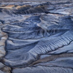
Upper Blue Hills Badlands in the Caineville Desert, Utah #84910 Photo Highlights 20248. Blue Hills Badlands Utah #84910  Purchase

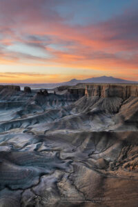
Dramatic view of the Upper Blue Hills Badlands from Skyline Rim. Caineville Desert, Utah #850029. Skyline Rim Utah #85002  Purchase

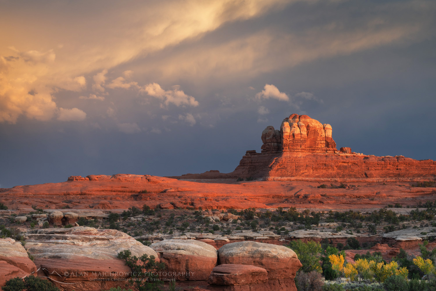
Sunset at Wooden Shoe Arch Overlook. Islands in the Sky District, Canyonlands National Park #8537610. Needles District, Canyonlands National Park #85376  Purchase

All photos appearing in Photo Highlights 2024 can be purchased as Fine Art Prints. They can also be licensed for commercial usage.

Help Conserve the places you and I love

If the images in this post inspire you to go out to visit or photograph our natural world please consider some of the ethical guidelines presented below:

Leave No Trace
To learn about the principles and practicing LNT please take a few minutes to visit the Leave No Trace Center for Outdoor Ethics. Your children, grandchildren and the Earth will thank you!

LEAVE NO TRACE SEVEN PRINCIPLES

1. Plan Ahead and Prepare
2. Travel and Camp on Durable Surfaces
3. Dispose of Waste Properly
4. Leave What You Find
5. Minimize Campfire Impacts
6. Respect Wildlife
7. Be Considerate of Other Visitors
© Leave No Trace: www.LNT.org


Principles of Nature First:

  • Prioritize the well-being of nature over photography
  • Educate yourself about the places you photograph
  • Reflect on the possible impact of your actions
  • Use discretion if sharing your locations
  • Know and follow all rules and regulations
  • Always follow Leave No Trace principles, and strive to leave places better than you found them
  • Actively promote and educate others about these principles

Photo Highlights of 2024

Little Redfish Lake, Sawtooth National Recreation Area Idaho

Summer Photography 2024

Summer is finally here and it’s time to hit the road and trails! This week I’ll be leaving for my extended summer photography 2024 tour.

Little Redfish Lake, Sawtooth National Recreation Area Idaho Summer Photography 2024Little Redfish Lake Sawtooth Mountains, Idaho #56176  Purchase

Summer is finally here and it’s time to hit the road and trails! This week I’ll be leaving for my extended summer photography 2024 tour. The tour will be similar to those in 2019 and 2021. Destinations will be Idaho’s Sawtooth and White Clouds Wilderness Areas, and then on to the Wind River Range in Wyoming.

While I’ve photographed most of the locations before I’m aiming to build on images from previous trips. As I mention in other posts, it’s rare that a photographer creates compelling images on the first visit to a location. Weather and lighting conditions may not be optimum, and it’s also difficult to fully know the new subject matter.

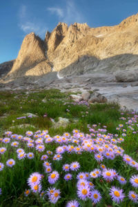
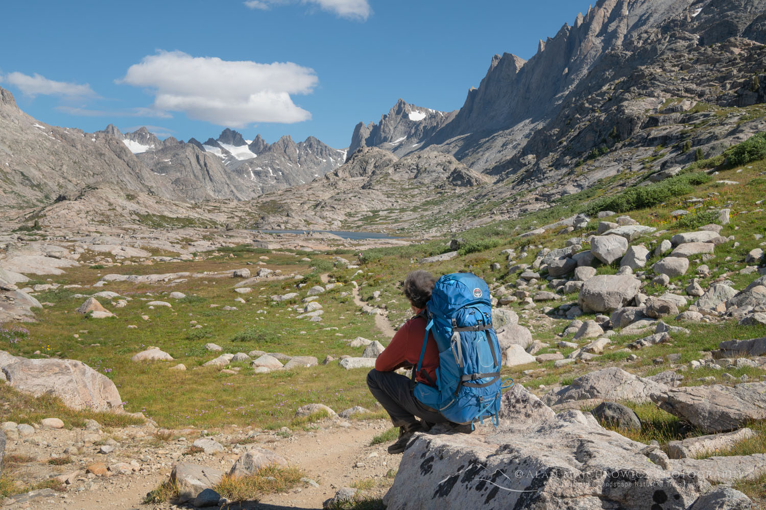
Mount Helen and field of purple Asters growing in Upper Titcomb Basin, Bridger Wilderness, Wind River Range Wyoming Summer Photography 2024Titcomb Basin Wildflowers #66700 Purchase

Below are some of the locations scheduled for this trip. As always locations are subject to change due to weather, wildfire smoke, etc.

  • Sawtooth Mountains Wilderness, Idaho / Cramer Lakes, Saddleback Lakes
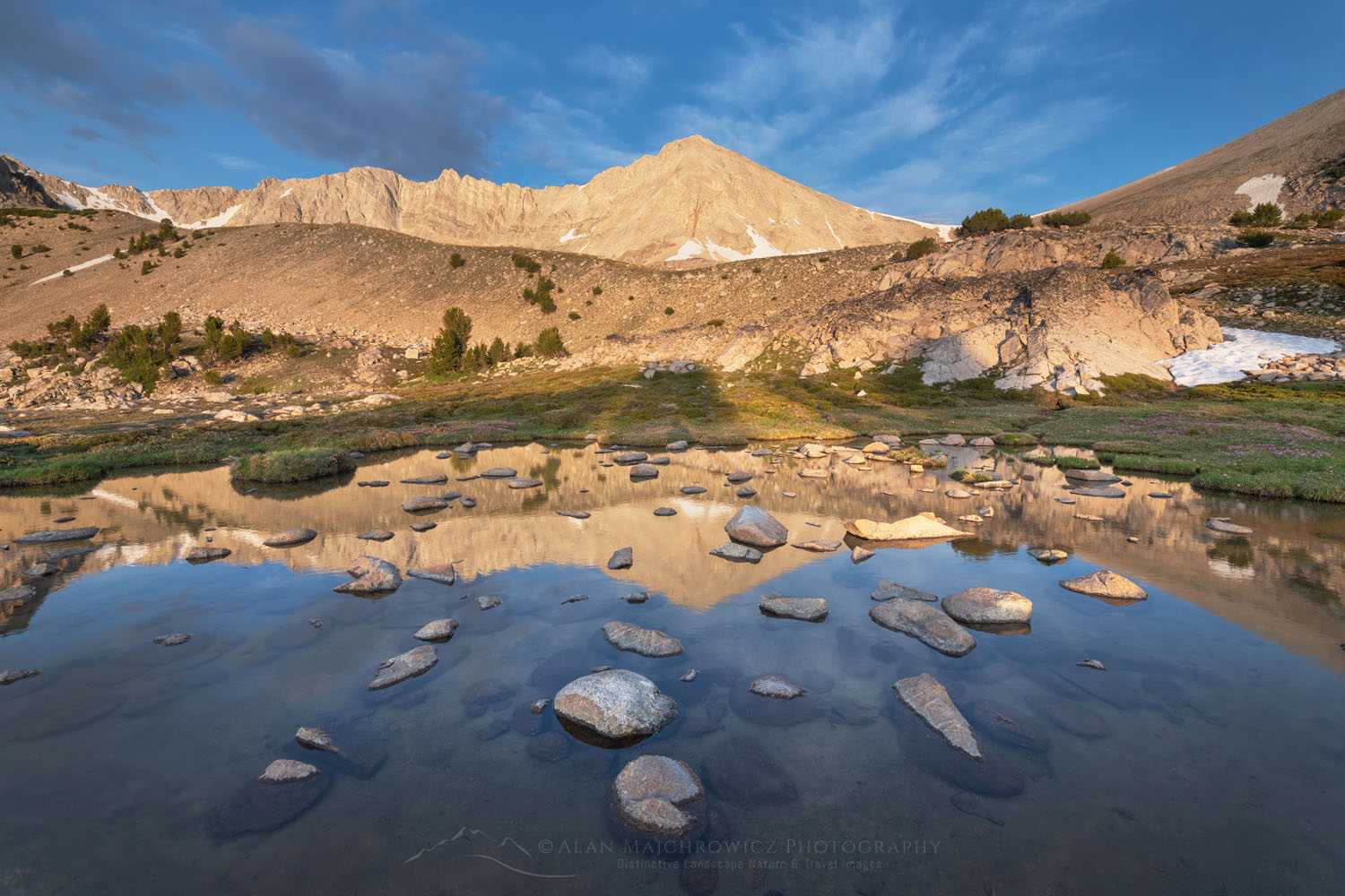
  • Cecil D. Andrus-White Clouds Wilderness, Idaho / Boulder Chain Lakes
  • Wind River Range, Wyoming / East Fork Valley, Titcomb Basin, Pronghorn Peak, Green River Lakes

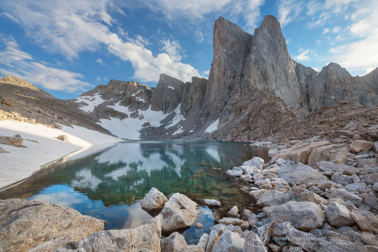
Pronghorn Peak and Lake Donna. Bridger Wilderness, Wind River Range WyomingPronghorn Peak Wind River Range #69198  Purchase

Check out the following links to see images and trip details from some of the locations:
Cecil D. Andrus-White Clouds Wilderness
Sawtooth Mountains, Idaho
Central Wind River Range 
Titcomb Basin Wind River Range
Green River Lakes Wind River Range

White Clouds Wilderness IdahoWhite Clouds Wilderness, Idaho #68945  Purchase

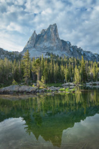
El Capitan and Alice Lake Sawtooth Mountains IdahoEl Capitan Sawtooth Mountains Idaho #66114  Purchase

All photos appearing in this post are available for Commercial Licensing and Fine Art Prints. Click on any image to purchase, or contact me for more info!

Summer Photography 2024

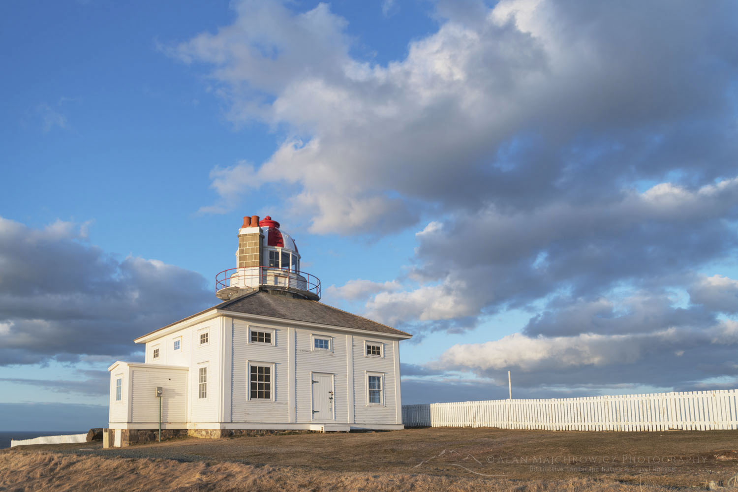
One of two lighthouses at Cape Spear Lighthouse National Historic Site in St. John's, Newfoundland and Labrador, Canada #79487

Photographing in Newfoundland and Labrador/ Cape Spear

Photographing in Newfoundland and Labrador/Cape Spear

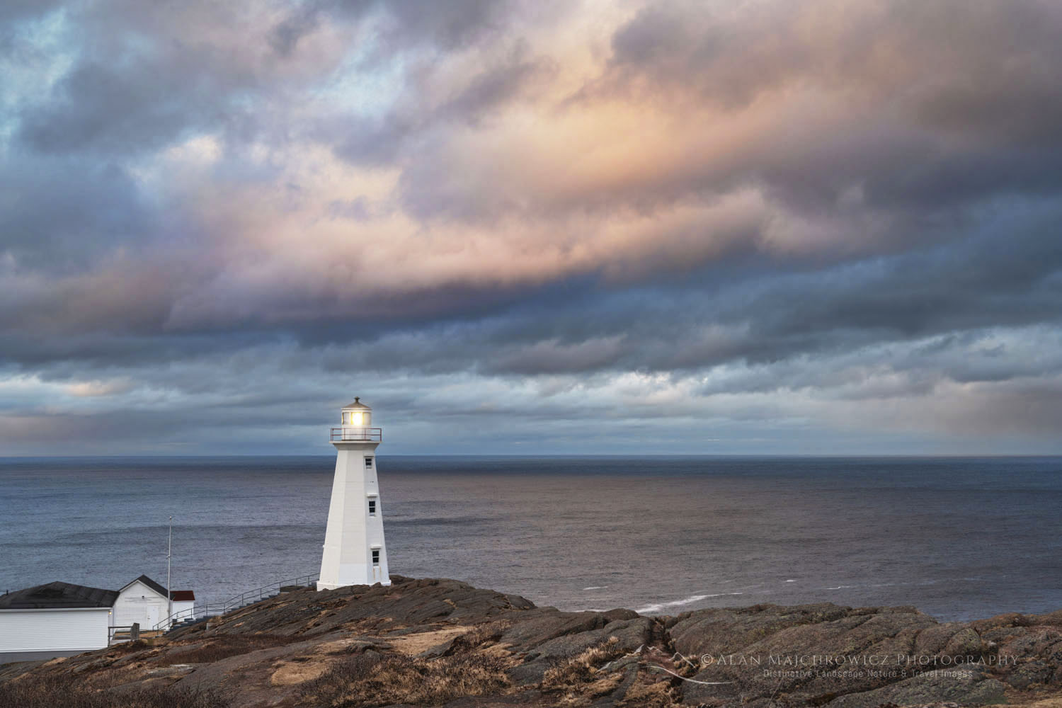
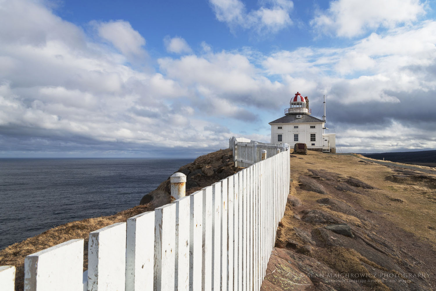
One of two lighthouses at Cape Spear Lighthouse National Historic Site in St. John's, Newfoundland and Labrador, Canada #79487 Cape Spear Newfoundland #79487  Purchase

This post is the first of several detailing and giving tips for photographing in Newfoundland and Labrador.

Canada’s Atlantic Province of Newfoundland and Labrador is a destination that will thrill any photographer. It has many characteristics of more popular North Atlantic destinations, such as Scotland and Iceland, including miles of beautiful rugged coastline, colonies of seabirds, and quaint towns with a rich cultural history. It also has very friendly locals with delightfully unique accents. But unfortunately Newfoundland doesn’t have active volcanoes or haggis.

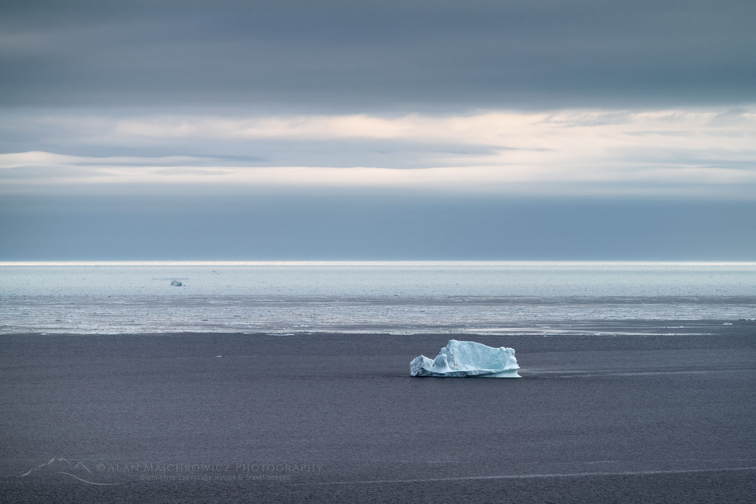
Newfoundland and Labrador also have one other big attraction that the aforementioned destinations don’t: Icebergs. Throughout the year, the Labrador Current reliably transports icebergs from Greenland and the Arctic down Iceberg Alley, to the coast of Newfoundland. The ever-changing shapes and sizes of the bergs provide an additional element of drama to photo compositions. And considering the exorbitant cost of travel to the high Arctic or Antarctica, photographing icebergs in Newfoundland is a hard-to-pass-up bargain!

Iceberg and Pack Ice near Twillingate, Newfoundland and Labrador Canada #79746Iceberg and Pack Ice Newfoundland  #79746 Purchase

This spring, I was able to plan my first extended trip to Newfoundland and Labrador. I began by compiling a list of subject matter I wanted to photograph. Topping the list were icebergs, rugged coastlines, seabird colonies, lighthouses, and finally, fishing villages. After countless hours of poring over maps, tourism websites, and extensive Google searches, I came up with a rough itinerary. As always, I built in lots of flexibility to work around bad weather and other unforeseen circumstances.

I had 24 days allotted for photographing in Newfoundland, and the plan was to fly to St. John’s and then drive to my main destinations of Bonavista Peninsula, Twillingate, and Fogo Island. If time allows, I would take a ferry to Labrador, then return to photograph L’anse Aux Meadows and surrounding areas. Lastly came several locations on the Avalon Peninsula south of St. John’s. In the end, I photographed nearly every location and subject on my list.

One of two lighthouses at Cape Spear Lighthouse National Historic Site in St. John's, Newfoundland and Labrador, Canada #79534Cape Spear Lighthouse Newfoundland #79534  Purchase

Cape Spear Lighthouse National Historic Site

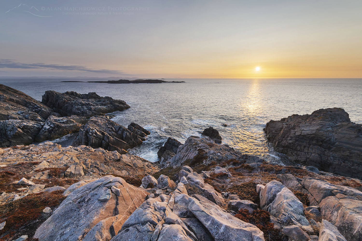
Since I was flying into St. John’s I wanted my first destination to be nearby so I could get my bearings after a long travel day.  Cape Spear Lighthouse National Historic Site was the logical choice, as it was just outside of the city and very photogenic. It turned out to be a great choice and also a harsh introduction to Newfoundland weather.

My home in Bellingham, Washington, and St. John’s are nearly the same latitude. But while at home, there was beautiful spring weather, Newfoundland was still gripped in late winter conditions. Temperatures were in the low 40s, vegetation was still winter brown, and the wind was nonstop and piercing cold. I was glad all my winter clothing came with me!

Cape Spear is a headland on the eastern edge of the Avalon Peninsula. It is also the easternmost point of land in Canada and the North American continent, excluding Greenland. It is so far east that you can almost imagine seeing Ireland on the horizon. There is a lot to see at Cape Spear Lighthouse National Historic Site. It sports two picturesque but distinctly different historic lighthouses. The site also has a WWII gun battery and radar station. You can also start for a hike on the East Coast Trail or just sit and watch for whales.

Cape Spear also has a visitor center with guided tours of the lighthouses. However, these amenities, and every other throughout Newfoundland and Labrador, as I was to find out, were still closed for the season.

Stairway below Cape Spear Lighthouse. Cape Spear Lighthouse National Historic Site in St. John's, Newfoundland and Labrador, Canada #79521Cape Spear Lighthouse Newfoundland #79521  Purchase

Photographing at Cape Spear

Cape Spear Lighthouse National Historic Site and the immediate surrounding area can be explored in a few hours. The lighthouses, of course, are the main attractions for photographers. But hiking a mile or so north or south from the parking lot on the East Coast Trail is also rewarding with additional photo opportunities.

Essential Tip:  This is a location that is good for both morning/sunrise and evening/sunset light. If the weather is poor and you have time, like I did, it’s worth trying to stick around an extra day or two for good light.

One of two lighthouses at Cape Spear Lighthouse National Historic Site in St. John's, Newfoundland and Labrador, Canada #79526Cape Spear Lighthouse Newfoundland #79526  Purchase

Essential Tip: There are many elements here that you can utilize for excellent compositions. Most notably, the stairs on the trail to and below the lighthouses and the white picket fence along the original upper lighthouse. The bedrock along the bluff, which glows reddish brown in evening and morning light, is also worth including.

Essential Tip: You’re nearly guaranteed to have windy conditions here, so make sure to bring a sturdy tripod. And don’t forget to bring a warm, windproof jacket or coat. Leave your hat in the car because it’ll easily be blown away. In fact, use utmost caution along the top of the bluffs as the winds can easily be strong enough to blow you and or your gear over the cliffs! There are a few compositions here that can tempt photographers to inch dangerously close to the edge.

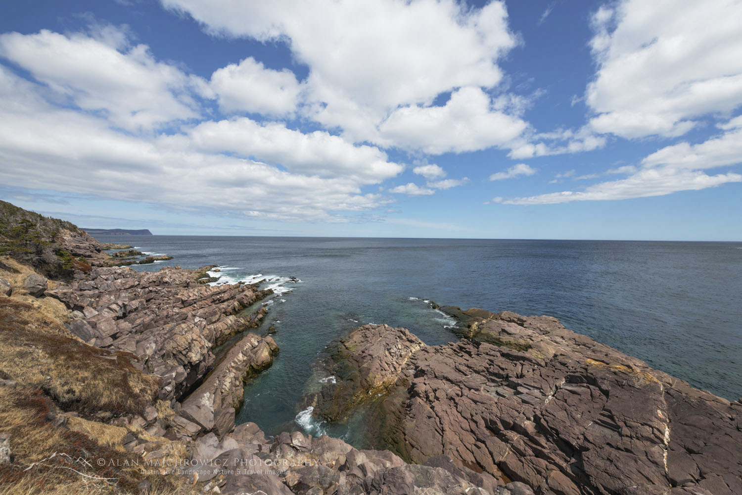
Cape Bay near St. John's, Newfoundland and Labrador, Canada #79492Cape Bay Newfoundland #79492 Purchase

Back down at Cape Bay, it’s worth hiking a short way to Cantwells Cove. The slanted rock formations here and the finger-like inlets are great in the right light, especially for sunrise.

Aside from a steady tripod, lenses from ultra-wide to telephoto will come in handy. Seabirds aren’t plentiful at Cape Spear, but if whales are present, a long telephoto could be useful.

White fence at Cape Spear Lighthouse National Historic Site in St. John's, Newfoundland and Labrador, Canada #79461Cape Spear Lighthouse Newfoundland #79461  Purchase

Practicalities for Photographing in Newfoundland

Since this was my first photo tour of Newfoundland and Labrador, I don’t profess to be an expert on the location. However, as you might expect, I did come away with some very useful information to pass on.

Weather:  Newfoundland and Labrador weather has a temperate marine climate. Summer temperatures are generally cooler and rarely hot and humid. During my trip in May, the wind, sometimes very strong and sustained, was a nearly constant companion. Temperatures reached into the low 60s on only a few rare days and were mostly in the 40s to low 50s. One morning in Twillingate I even woke up to an inch of snow!

Warm wind and rainproof clothing are essential. Boggy, marshy terrain is present nearly everywhere in the province, so good waterproof footwear is also a must.

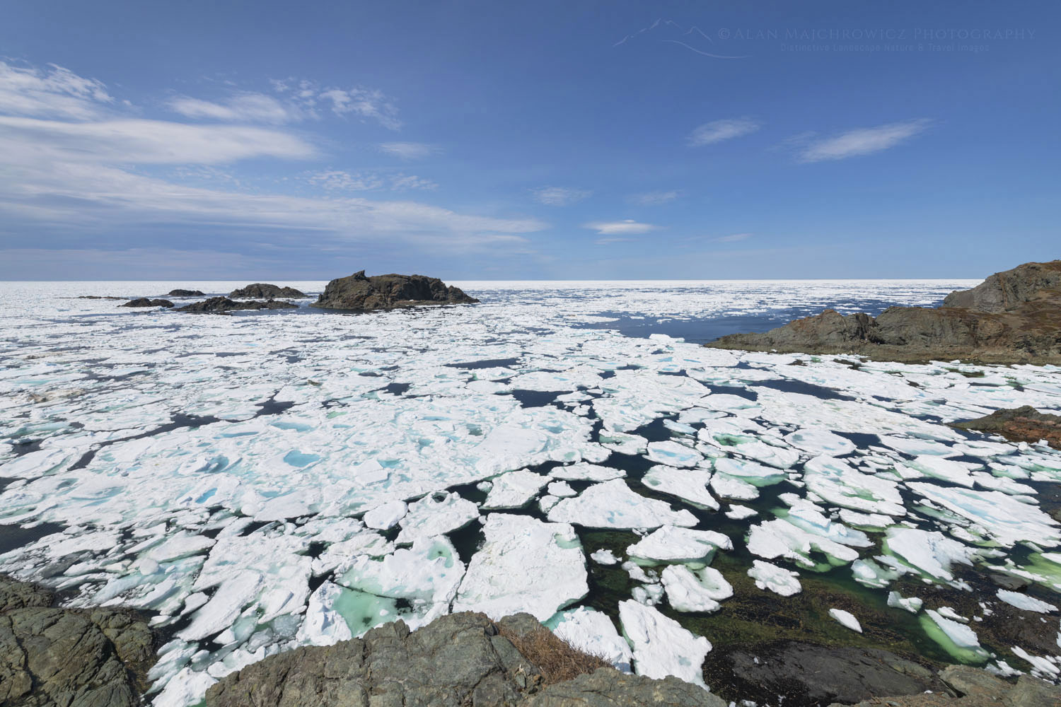
Sea ice in Sleepy Cove Newfoundland and Labrador Canada #79988Pack Ice Twillingate Island Newfoundland #79988  Purchase

Icebergs: Research advised me that May through June was the best time for viewing icebergs. That appears to be true, but I could add a bit to that. In addition to icebergs, there was quite a lot of pack ice present in some locations, which added another dramatic element to my images. Pack ice is most likely an early-season phenomenon and not present during summer. It also moves around quite a bit, especially when the wind changes direction. One day a cove can be choked with ice, and the next day it can be completely free of it.

Coastal areas of central Newfoundland, such as Twillingate, appear to receive the lion’s share of icebergs. There are many iceberg boat tour companies in the area, and I highly advise booking a tour on one. You’ll safely get much closer to bergs this way, and it’s fascinating to see one up close.

Iceberg Finder is an excellent source to keep track of where iceberg are located before, during, and after a Newfoundland visit.

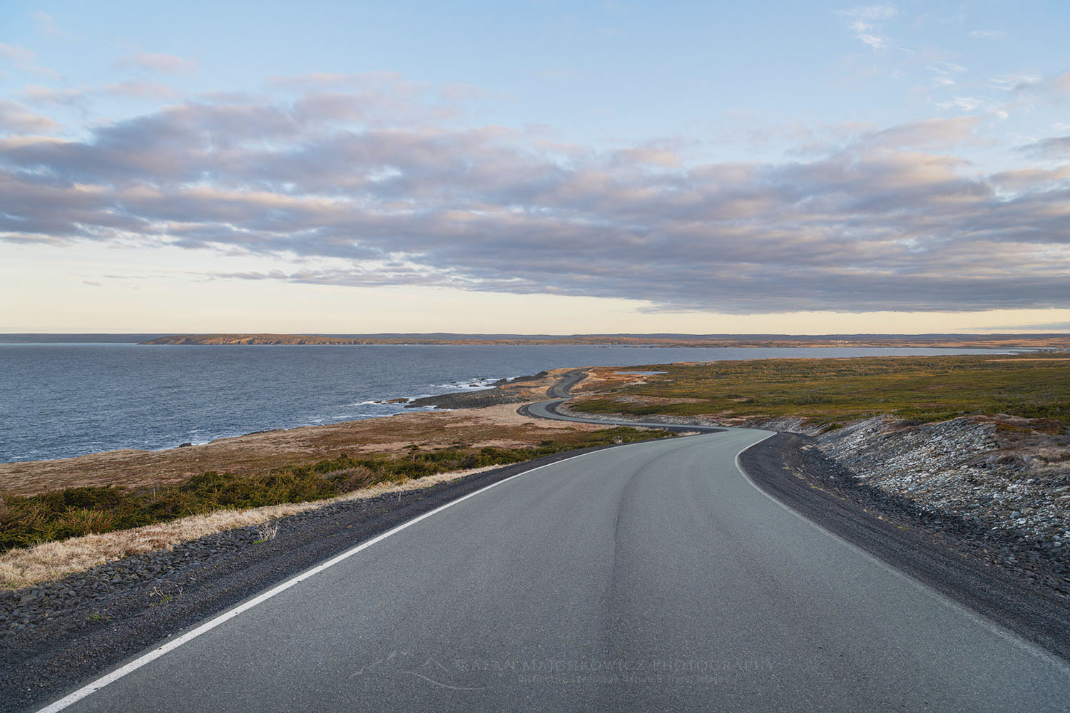
Cape Race Road Newfoundland #80608Cape Race Road Newfoundland #80608 Purchase

Traveling while Photographing in Newfoundland

Seasonal Closures: After the weather, seasonal closures were my next introduction to Newfoundland. The official summer/tourist season doesn’t begin here until June 1.

Nearly every provincial park, historic site, visitor’s center, campground, restroom, gift shop, etc., is shut tight until then. Of course, there are exceptions, but they are far and few between. On the other hand, all of this pretty much guarantees that you’ll escape the summer crowds and have most places all to yourself!

Lodging: Since I nearly always car camp on my photo tours, I can’t say much about lodging. However, there are only a few large towns/cities in the province, so you’ll most likely be looking for lodging in very small towns with limited accommodations. Book very early!

Camping: I didn’t find many campgrounds anywhere, aside from provincial and national parks, which were closed. However, free camping is available just about anywhere that isn’t private property. This mainly consists of gravel roads on Crown Land and trailheads.

Rest Areas: There are none! I have to include this since it was such a shock to me. Even driving from St. John’s on the Trans-Canada Highway to the other end of the province there was not one rest area or port-a-potty. Secondary and backroads? Forget about it! Keep that in mind when starting out in the morning after drinking a big mug of coffee, or that breakfast burrito!

To see more images check out these galleries:
Newfoundland and Labrador 1
Newfoundland and Labrador 2

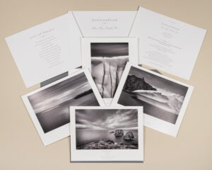
Check out our new Newfoundland Sea, Sky Land, Ice Fine Art Folio

Also, check out the next post in this series:
Photographing Bonavista Peninsula Newfoundland

Sunset at the rocky and rugged coast of Cape Bonavista Newfoundland #79565Cape Bonavista Sunset Newfoundland #79565 Purchase

All photos appearing in Photographing in Newfoundland and Labrador/ Cape Spear are available for Commercial Licensing and Fine Art Prints. Click on any image to purchase, or contact me for more info!

Photographing in Newfoundland

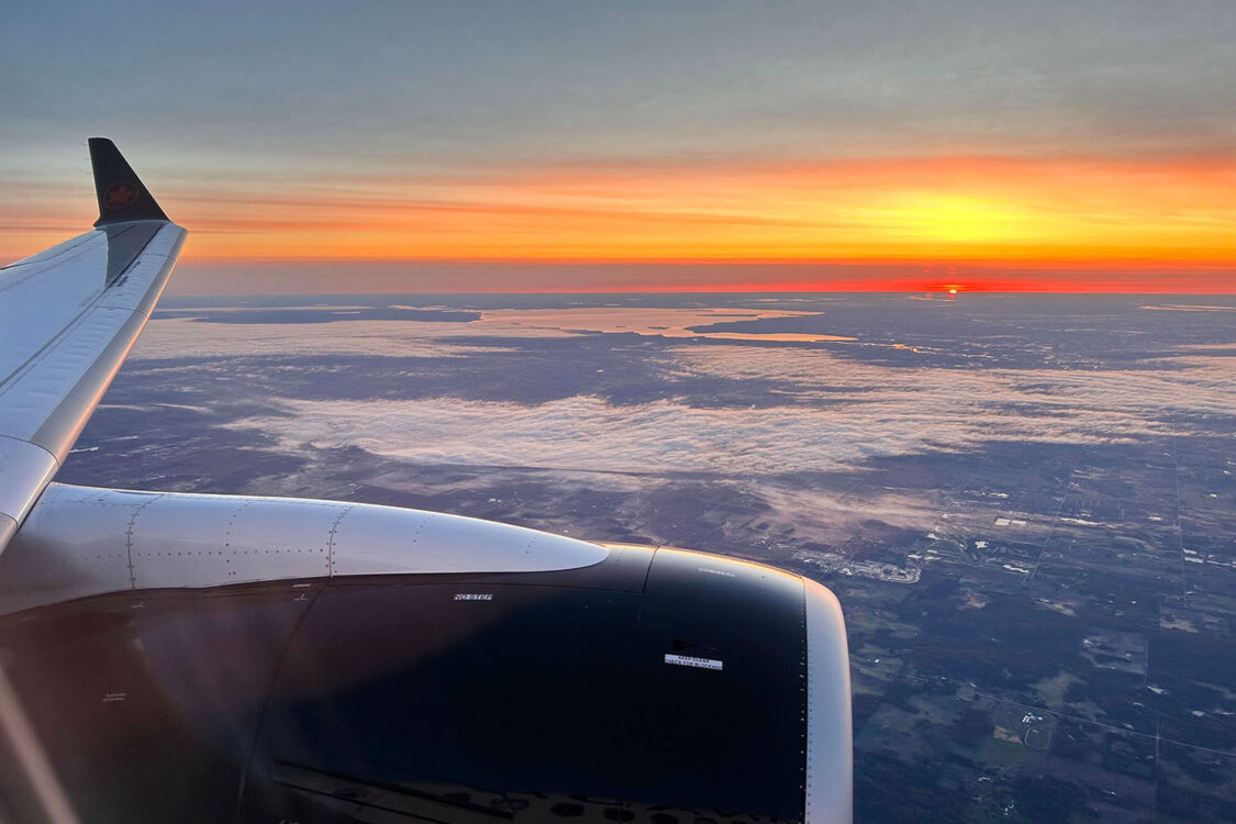
Air Canada Sunrise

Newfoundland Photo Tour

Air Canada Sunrise Newfoundland Photo TourSunrise on the way to Newfoundland
Update: Check out the first post about my recent Newfoundland and Labrador trip!
Announcing even more exciting news for this spring. From May 7 through May 30 I will be photographing in an entirely new and long-anticipated location, Newfoundland Canada! It’s been several years since my last trip to one of Canada’s Atlantic Provinces, Nova Scotia, and I’m beyond thrilled to explore some new territory!
This timing of this tour coincides with the annual arrival of icebergs drifting down from Greenland and the Arctic. Coastal Newfoundland is known as Iceberg Alley and is one of the best places on Earth to see icebergs outside the Arctic and Antarctica.
Of course, there is much more to see and photograph besides icebergs. Other subject matter will include, lighthouses, colorful fishing villages, important cultural and historic sites, sea birds, and possibly even whales.

Below are some of the main locations on my shoot list. Newfoundland is a big province so all locations are tentative

Locations:
Cape Spear and Avalon Peninsula
Bonavista Peninsula
Fogo Island
Twillingate
L’Anse aux Meadows National Historic Site

Any other locations or subject matter you would like me to include?
Contact me and I’ll do my best to include them!

Oxbow Bend Grand Teton National Park

New Additions Fall 2021

New Additions Fall 2021

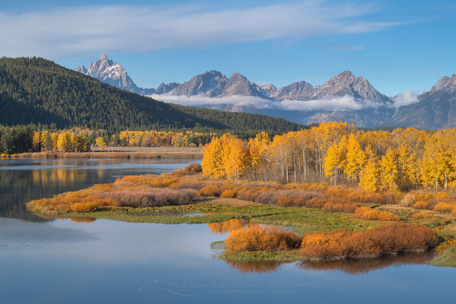
Oxbow Bend Grand Teton National Park New AdditionsGrand Teton National Park  #74160  Purchase

After nearly three weeks of editing and processing files from my recent SW trip the first group of new additions is ready to view. It is always fun to relive the trip by processing new images.  Since returning home it has rained nearly every day, with some newsworthy storms causing flooding. So working on photos from the warm dry Southwest provides a nice respite from the soggy weather outside.

This first group of new releases contains images from the following locations.

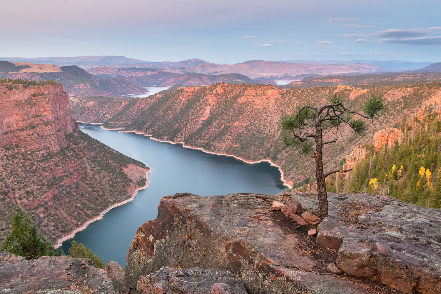
Red Canyon Flaming Gorge National Recreation Area New AdditionsFlaming Gorge National Monument  #74267  Purchase

New Additions from New Locations

Flaming Gorge was an interesting location in that it was on the very edge of the Colorado Plateau. Since the Red Canyon area was nearly deserted it was also a welcome relief from the crowds of Grand Teton National Park. Crowds are an ever present issue when visiting national parks, especially in the Southwest. Even in the shoulder seasons of spring and fall there is no escape.

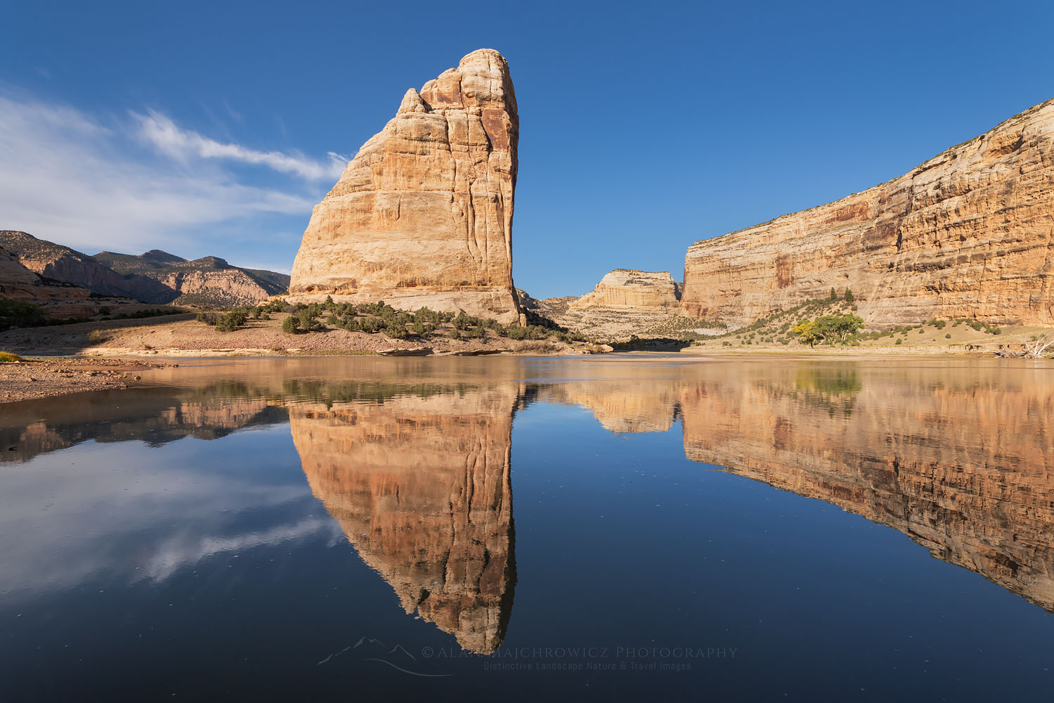
Steamboat Rock Dinosaur National Monument New AdditionsSteamboat Rock Dinosaur National Monument  #74439  Purchase

Dinosaur National Monument was another first time visit location for me. It’s always exciting to explore and photograph new territory.  In Dinosaur I was like a kid in a candy store! This was especially true on the thrilling ride to the remote camp at Echo Park. A sometimes rough 13 mile dirt road ends at a beautiful primitive camp alongside the Green River. Along the way are historic ranches and Fremont Petroglyphs. At Echo Park the scene is dominated by the imposing monolith of Steamboat Rock. Overall this was one of the most enjoyable and memorable locations on the entire trip.

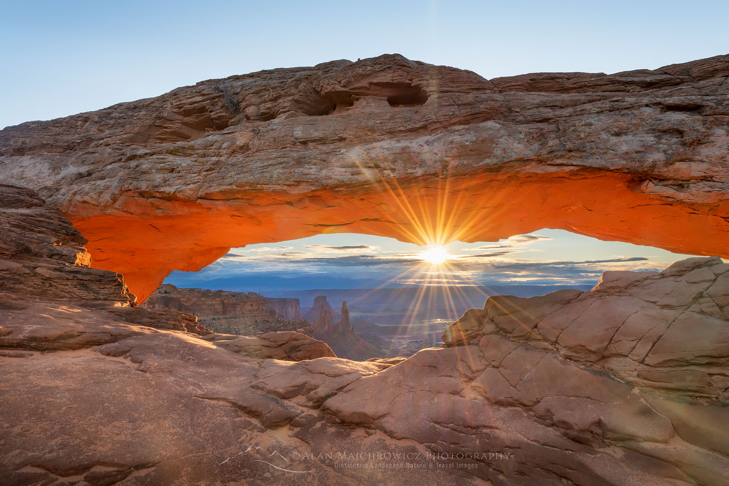
Mesa Arch Canyonlands National ParkMesa Arch Canyonlands National Park  #74540  Purchase

More New Images Coming Soon

In several weeks I should have another group of new additions ready for viewing from the following locations.  Also among this group are some new locations as well as with some I’ve photographed in several time before.

  • Bears Ears National Monument Utah
  • Natural Bridges National Monument Utah
  • San Rafael Swell, Crack Canyon
  • Goblin Valley State Park Utah
  • Factory Butte Utah
  • Capitol Reef National Park Utah
  • Coyote Gulch Grand Staircase Escalante National Monument Utah

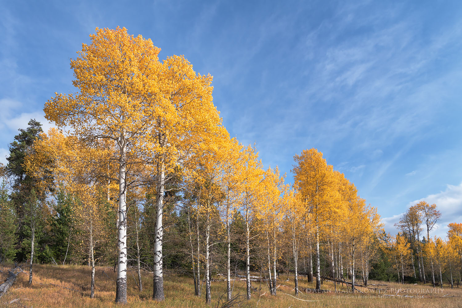
Aspens in fall color Grand Teton National ParkAspens Grand Teton National Park  #74050  Purchase

Want to learn more, or have a professional photographer guide you in the field? Then take your Creative Photography to the next level with  Private Instruction and Guided Photo Tours.

All photos appearing in New Additions Fall 2021 are available for Commercial Licensing and Fine Art Prints. Click on any image to purchase, or contact me for more info!

Coyote Gulch Glen Canyon National Recreation Area

Southern Utah Photography Trip 2021

Coyote Gulch Glen Canyon National Recreation Area Southern Utah Photography TripCoyote Gulch, Glen Canyon National Recreation Area #76072or Purchase

My Southern Utah Photography trip is now complete. After 47 days and over 4800 miles on the road and trail I’m back home in the office catching up on business. This trip was an outstanding success with lots of new images from both classic and little known locations. But now the real work begins. Since I have so many new images it will be quite a project to edit and process them all.

Instead of waiting to finish editing and processing photos from the entire trip I will be breaking them down and publishing a New Image Gallery by each location. Below is a list of all the locations from this trip. Meanwhile be sure to check back often to see the new updates. And of course I’ll be sending out email announcements to all of you who are on my mailing list.

Locations:

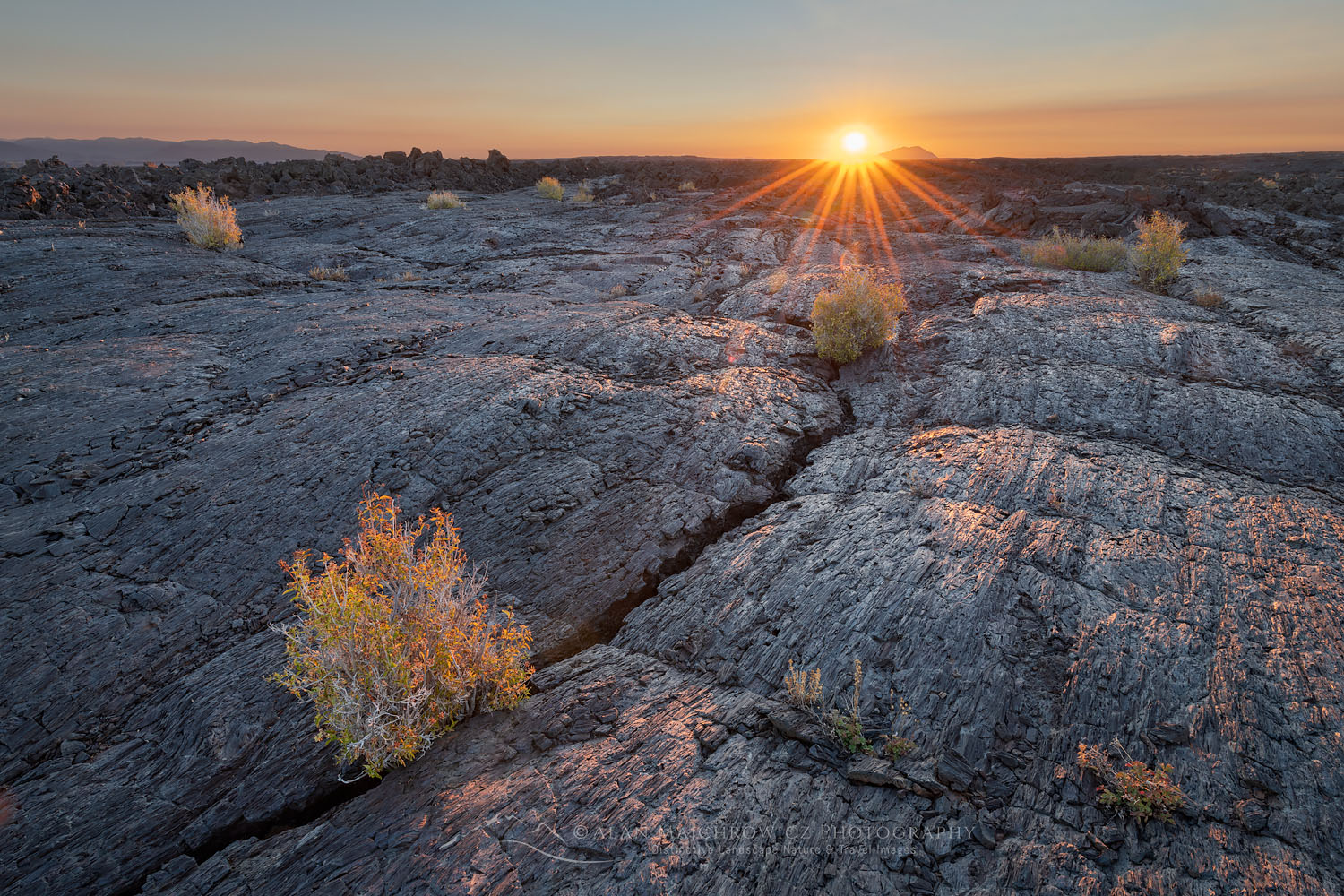
  • Craters of the Moon National Monument
  • Grand Teton National Park
  • Flaming Gorge National Recreation Area
  • Dinosaur National Monument
  • Canyonlands National Park; Island in the Sky, Needles Districts
  • Cedar Mesa/Bears Ears Wilderness; Grand Gulch, Ancestral Pueblo Ruins
  • Natural Bridges National Monument
  • San Rafael Reef; Goblin Valley, Crack Canyon
  • Capitol Reef National Park
  • Grand Staircase Escalante National Monument
  • Glen Canyon National Recreation Area; Coyote Gulch
  • Bryce Canyon National Park
  • Zion National Park; Zion Narrows, The Subway, Kolob Canyons
  • Snow Canyon State Park

Want to learn more, or have a professional photographer guide you in the field? Then take your Creative Photography to the next level with  Private Instruction and Guided Photo Tours.

All photos appearing in Southern Utah Photography Trip 2021 are available for Commercial Licensing and Fine Art Prints. Click on any image to purchase, or contact me for more info!

Southern Utah Photography Trip 2021

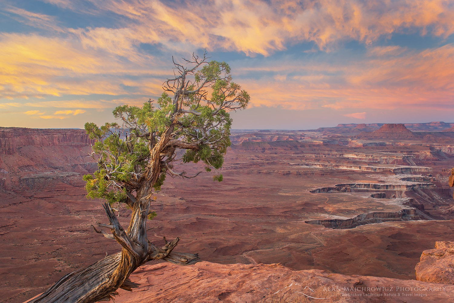
Weathered and twisted Juniper tree (Juniperus osteosperma) at dawn on rim Green River Overlook, Canyonlands National Park Utah

Fall Southwest Photography Tour 2021

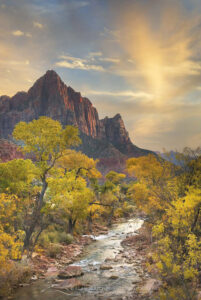
Autumn along the Virgin River, The Watchman in the distance, Zion National Park Utah Fall Southwest Photography TourVirgin River Zion National Park #09187   Purchase

Fall is here and the air is finally free of wildfire smoke! So after delaying several summer photo trips we’re excited to get back on the road for a lengthy photo tour. This year the bulk of the trip will be to locations in Red Rock Canyon Country and the National Parks of Southern Utah. Listed below are some of the locations on the itinerary, generally in order from beginning to end.

If you have any locations or subject matter which interests you in, and we can include them in our itinerary, let us know. Also let us know if you will be in any of these areas in October, it would be great to meet up with you!

  • Craters of the Moon National Monument
  • Grand Teton National Park
  • Flaming Gorge
  • Dinosaur National Monument
  • Arches National Park
  • Canyonlands National Park
  • Cedar Mesa/Bears Ears Wilderness, Anasazi Ruins
  • Capitol Reef National Park
  • Grand Staircase-Escalante National Monument, slot canyons, and arches
  • Bryce Canyon National Park
  • Zion National Park
  • Great Basin National Park

*This is an ambitious trip so some locations may be omitted due to time and weather considerations.

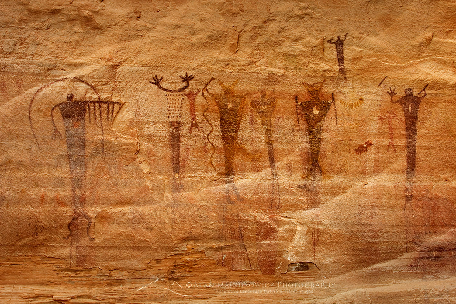
Buckhorn Wash barrier style pictographs, San Rafael Swell Utah Fall Southwest Photography TourBuckhorn Wash Pictographs, San Rafael Swell Utah #42086  Purchase

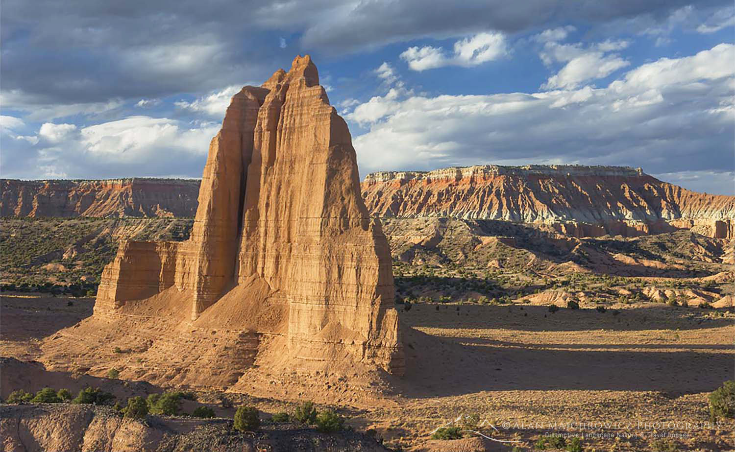
Sandstone Monoliths of the Upper Cathedral Valley in evening light, Capitol Reef National Park UtahCapitol Reef National Park #2901  Purchase

Weathered and twisted Juniper tree (Juniperus osteosperma) at dawn on rim Green River Overlook, Canyonlands National Park UtahCanyonlands National Park  #27457  Purchase

Want to learn more, or have a professional photographer guide you in the field? Then take your Creative Photography to the next level with  Private Instruction and Guided Photo Tours.

All photos appearing in Fall Southwest Photography Tour 2021 are available for Commercial Licensing and Fine Art Prints. Click on any image to purchase, or contact me for more info!

Squaretop Mountain Wind River Range Wyoming

Rocky Mountains Photography Tour

Rocky Mountains Photography Tour

Backpacker on Titcomb Basin Trail Wind River Range Rocky Mountains WyomingBackpacking Wind River Range #66803

Update 8/162021: Due to wildfires and heavy smoke and haze, this trip has been delayed.

This summer’s Rocky Mountains Photography Tour will start on July 9. I was once again hoping to head north to Alaska and the Yukon Territory. But since it looks like the border won’t be open in time, it is on to Plan B. So this year I’ll be revisiting some locations from 2019 and 2020.

These locations will mainly the Boulder-White Clouds Wilderness in Idaho, and the Wind River Range of Wyoming. I’m also planning a lengthy backpacking trip to the Chinese Wall in the Bob Marshall Wilderness of Montana. That location was on my itinerary last year but I swapped it out for Glacier National Park instead.

White Clouds Wilderness Rocky Mountains IdahoBoulder White-Clouds Wilderness  #68945  Purchase

Boulder-White Clouds Wilderness Idaho

On last summer’s visit to the White-Clouds I was only able to visit the north section. This year I’ll be backpacking in to the south half to photograph the Boulder Chain Lakes Basin and the some of the highest peaks in the wilderness. This area is also part of the popular White Clouds Wilderness Loop. For my purposes though I will be doing an out and back trip instead of the loop. I’ll also have plenty of time budgeted for layovers at the best locations along the route.

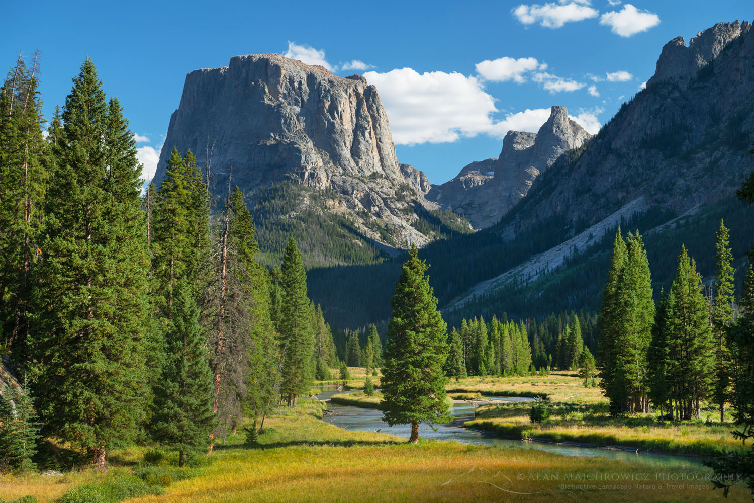
Squaretop Mountain Wind River Range WyomingSquaretop Mountain Wind River Range #66997 Purchase

Wind River Range Wyoming

Ah, what can I say about the Winds? This will be my seventh trip there and I still can’t get enough of this spectacular mountain range. It’s a backpackers’ dream. Thousands of lakes, 40 peaks over 13,000′, miles and miles of trails in the subalpine along the Continental Divide, plus easy cross country travel to boot!

This year my plans will include parts of the Hailey Pass-Washakie Pass Loop, Desolation Valley, and Baptiste Lake. Also on the itinerary will be a return to Cirque of the Towers and Deep Lake. I’ll also be returning to the Green Lakes area for more new photos of the Green River and Squaretop Mountain.

Castle Reef Mountain Sun Canyon Rocky Mountains MontanaCastle Reef Mountain Montana  #68136  Purchase

Bob Marshall Wilderness Montana

Known among locals and avid backpackers as “The Bob”, this wilderness destination in the northern Rocky Mountains has been on my must photograph list for decades. The Bob Marshall Wilderness Complex is a huge swath of land straddling both sides of the Continental Divide. An important part of the Greater Yellowstone Ecosystem it is home to the largest intact population of Grizzlies in the lower 48.

Last year It was on my itinerary but I took a pass due to an unusual opportunity to obtain backcountry permits in Glacier National Park. The destination on this trip will be a multi-day backpack to the famous Chinese Wall. This is arguably the signature feature of the Bob Marshall Wilderness, a 12 mile long 1000′ high limestone escarpment on the Continental Divide.

U.S. Highway 93 Lost River Range IdahoU.S. 93 Idaho #68984  Purchase

A Flexible Itinerary

For an ambitious trip like this several caveats need to be mentioned. First of all if it becomes clear the Canada border will open before the end of July it will be back to Plan A, as in A for Alaska.

Secondly, as with all of my trips that include multiple long backpacking excursions, some locations may be modified due to weather or time constraints. There are already indications of a major wildfire season in the making, so smoky conditions or closed off areas may change my plans.

Finally, if you are in any of these areas in July or August and would like to meet up in the wilderness, or in town for a coffee or beer, feel free to contact me!

If you enjoyed reading Rocky Mountains Photography Tour please share it with your friends, colleagues and family.

Photos appearing in Rocky Mountains Photography Tour are available for Commercial Licensing and Fine Art Prints. Click on any image to purchase, or contact me for more info!

Rocky Mountains Photography Tour

Wind River Range Sunset, Wyoming

Summer Photo Tour 2020 Update

Summer Photo Tour 2020 Update

Lake McDonald Glacier National ParkLake McDonald Glacier National Park #69745  Purchase

Final On The Road Update 8/19/2020:

This brief addition will be my final on the road update of the summer photo tour. I’m still in Glacier National Park and since my last post I’ve witnessed a sunrise marriage proposal on Lake McDonald, completed a 40 mile 6 day backpacking photo shoot, and seen seven grizzly bears in the backcountry, on one occasion only about 25′ away from me. So yes, it’s been a busy adventurous visit!

By this time next week I should be back home in the office. For many weeks to come I’ll be there catching up on business and processing all the new images. During that time I’ll be posting groups of new images to the website and updates on the blog. 

Original Post:

Wind River Range Sunset, WyomingWyoming Sunset #69046  Purchase

Sitting right now just outside of Glacier National Park it seems time to post another Summer Photo Tour 2020 Update. Since my last post I’ve visited and photographed lots of new and old locations. And once again although Grand Teton and Yellowstone weren’t on my list, necessity had me briefly drive through both parks. And once again I’m glad I did, because I added several wonderful new images to my files from them!

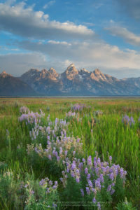
Grand Teton National ParkGrand Teton National Park #69391  Purchase

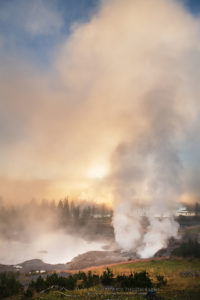
Sunrise at Mud Volcano geothermal area, Yellowstone National ParkYellowstone National Park #69428  Purchase

Since my last post I’ve added lots of exciting new images from the following locations:

  • Bridger Wilderness, Wind River Range Wyoming, Middle Fork/Lee Lake vicinity
  • Grand Teton National Park
  • Yellowstone National Park
  • Beartooth Pass/Highway Wyoming
  • Upper Missouri River Breaks Montana
  • Glacier National Park: Comeau Pass/Sperry Chalet; Lake McDonald, Kintla Lake/Boulder Pass/Hole In The Wall

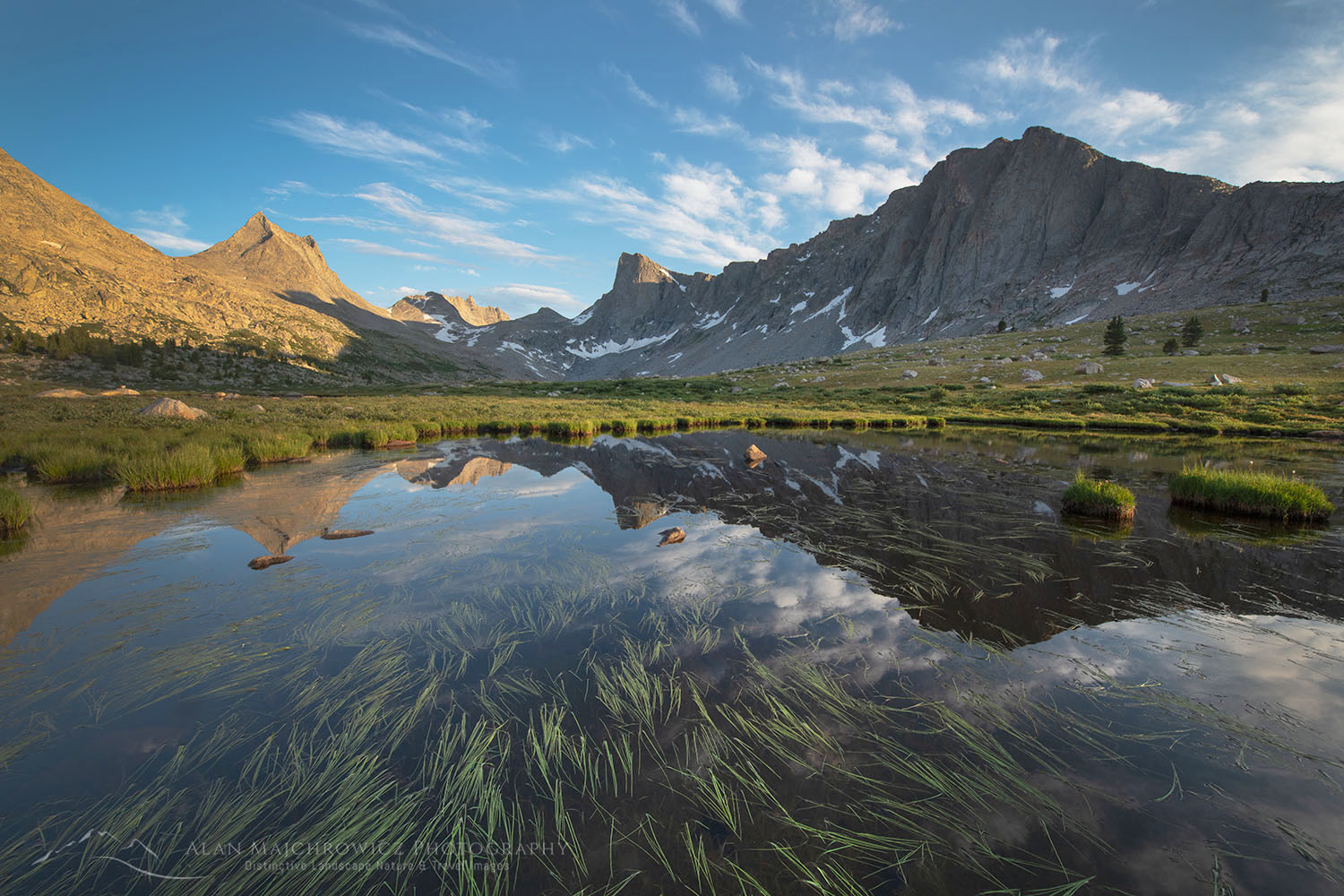
Lee Lake, Bridger Wilderness, Wind River Range WyomingLee Lake Wind River Range Wyoming #69085  Purchase

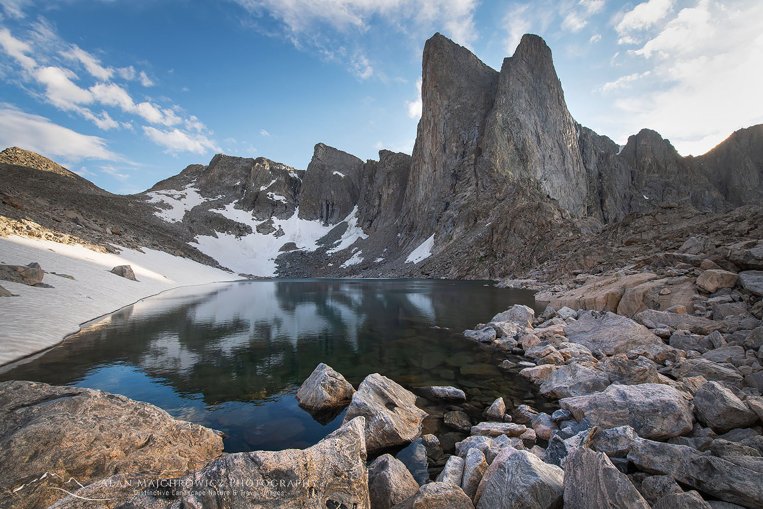
Pronghorn Peak Lake Donna, Bridger Wilderness, Wind River Range WyomingPronghorn Peak Wind River Range Wyoming #69202  Purchase

There was one major change to the Summer Photo Tour 2020 itinerary. This was a decision to take a pass on the Chinese Wall in the Bob Marshall Wilderness of Montana. Instead I’m opting to spend the remainder of the trip backpacking in Glacier National Park. Although I’ve visited and photographed in Glacier many times over the years this will be my first major backpacking trip there since I was a teenager.

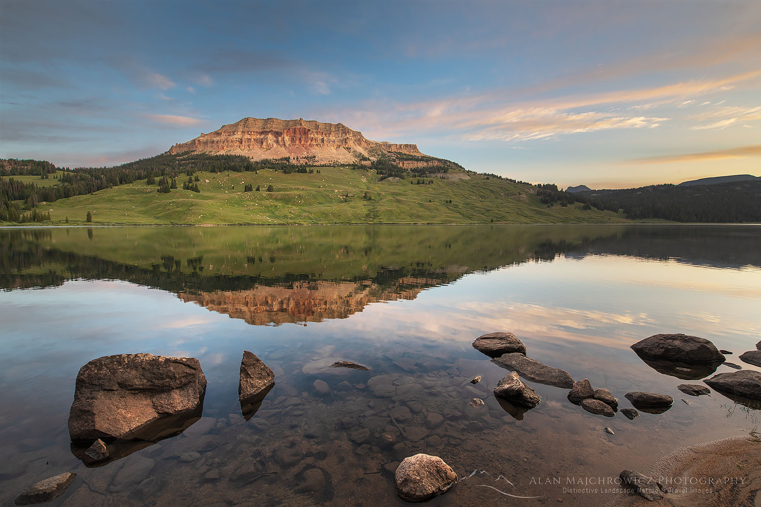
Beartooth Lake WyomingBeartooth Lake Wyoming #69516  Purchase

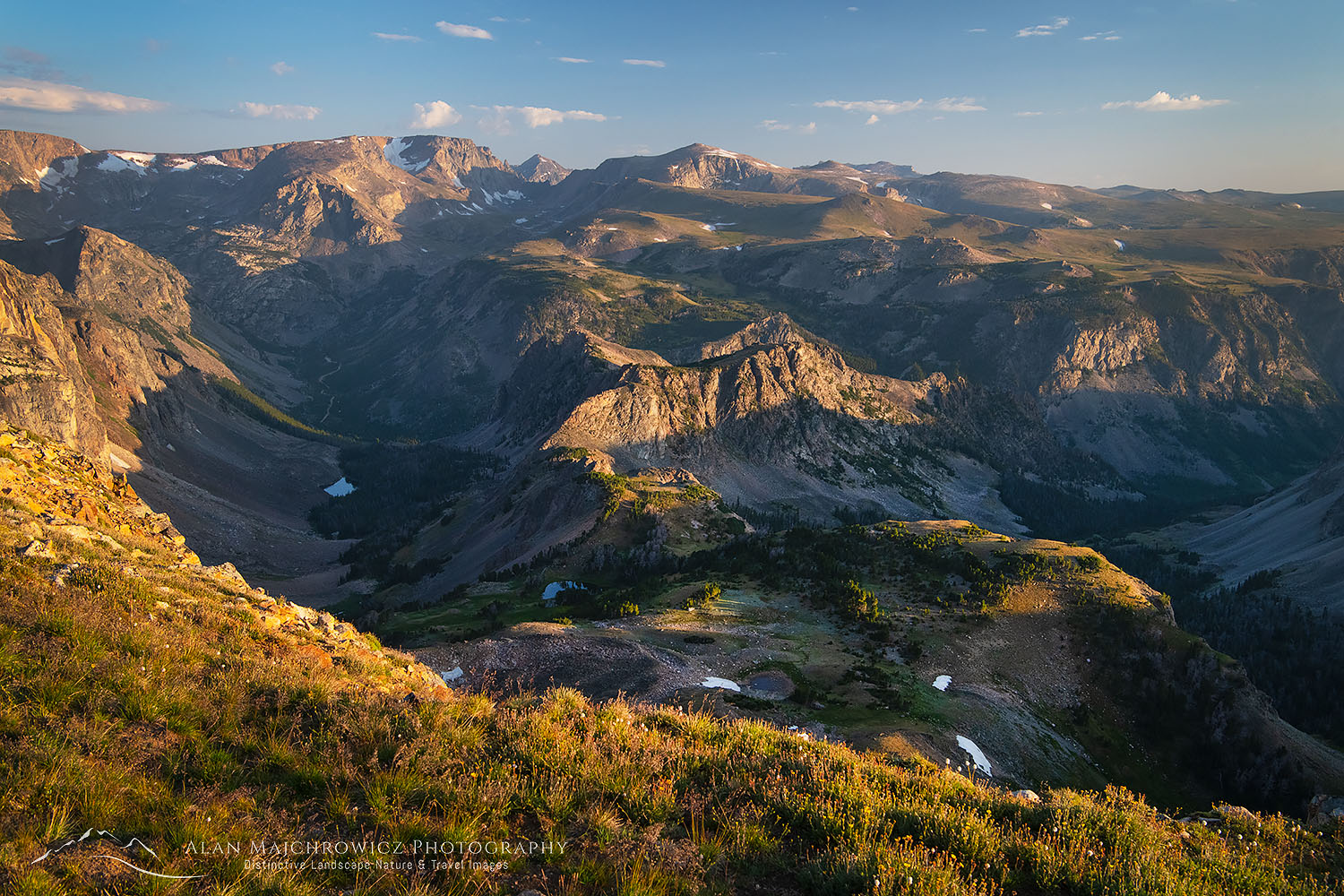
Beartooth Mountains seen from Beartooth Pass, WyomingBeartooth Mountains Wyoming #69614  Purchase

Appearing in this post are some of the photo highlights. These photos are quick on the road edit and processing with the final image to come later when I’m back in the office. Image licensing and fine art prints are available for all of them, but print orders may be delayed several weeks.

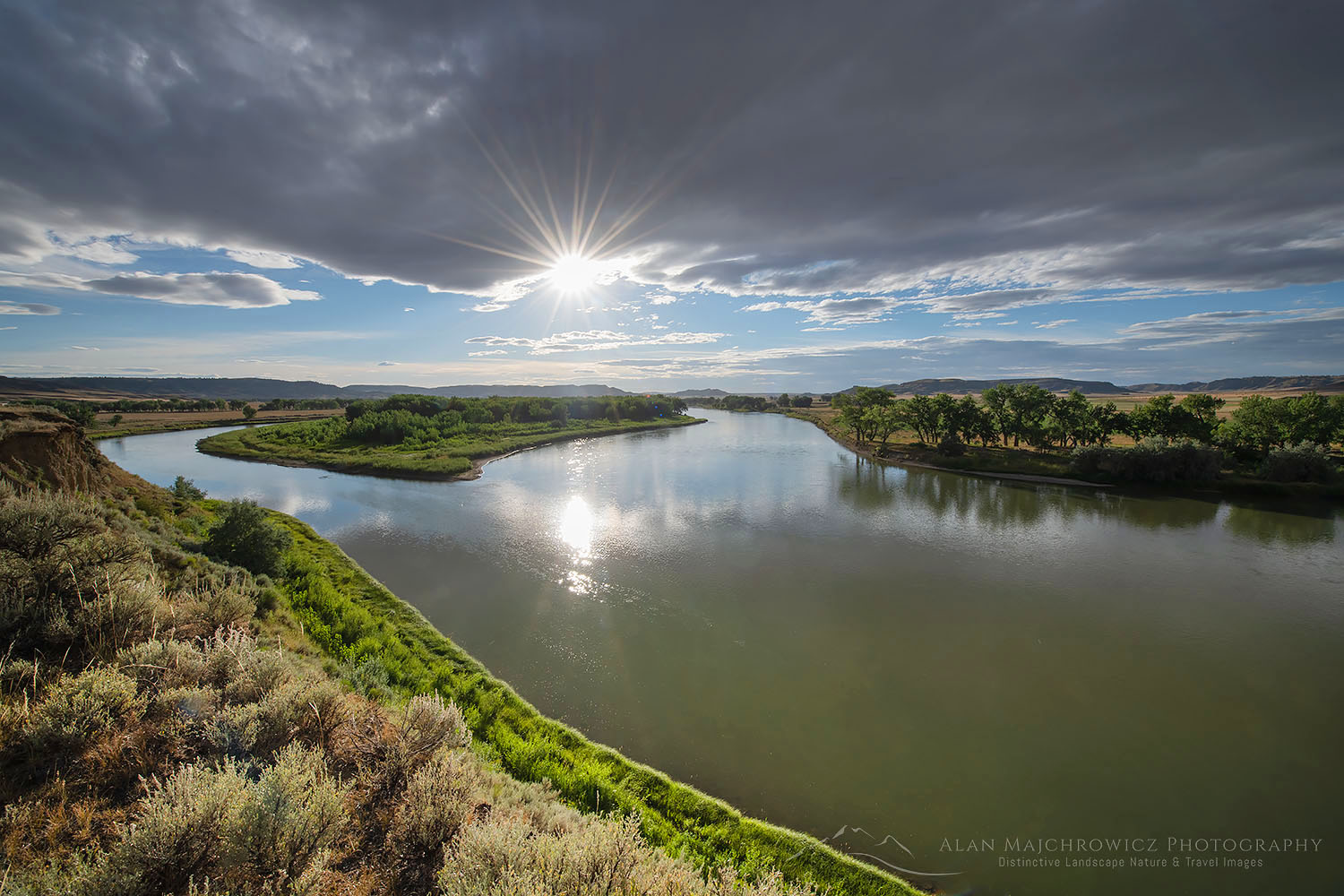
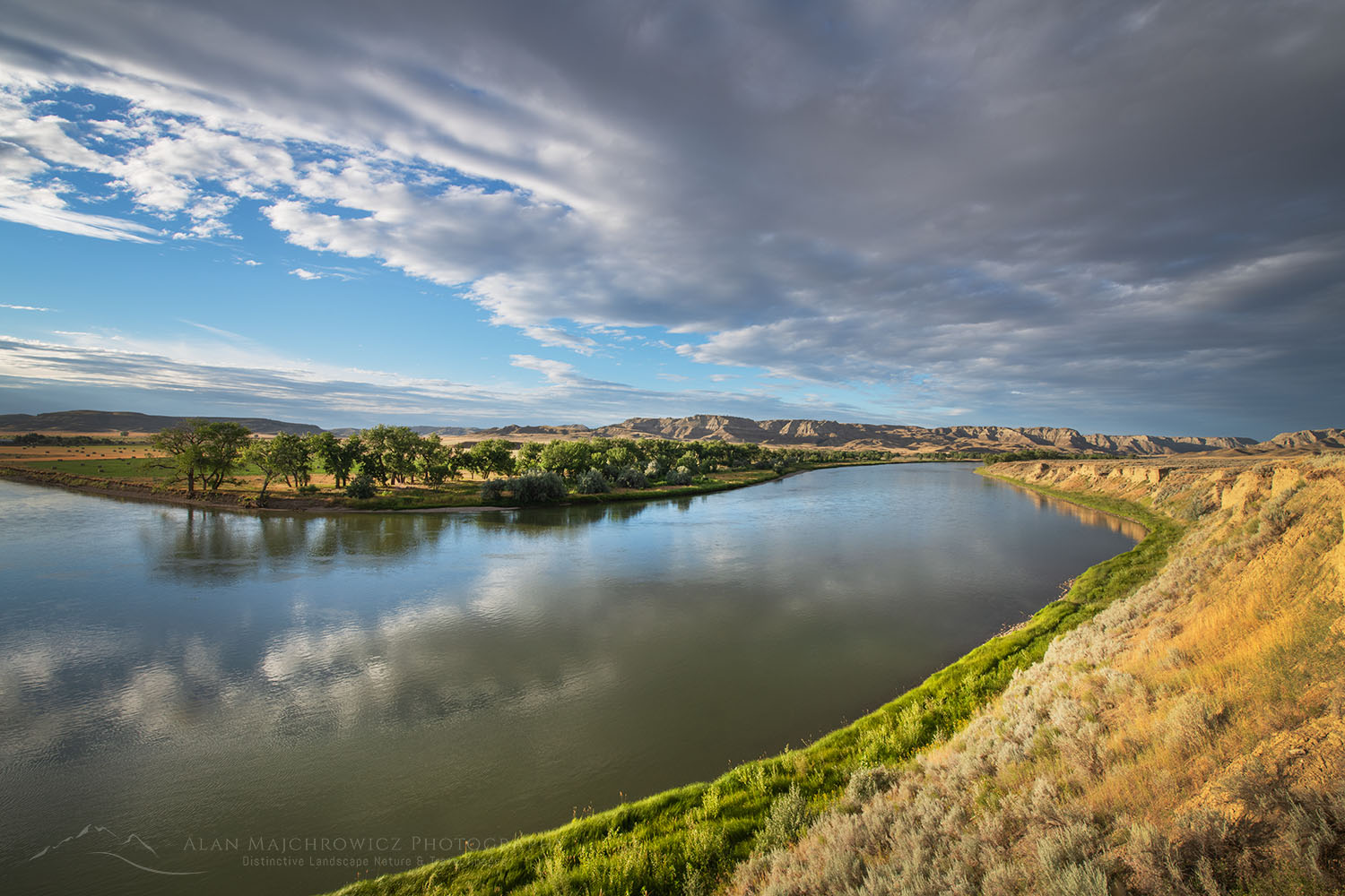
Missouri River Breaks near Judith Landing, MontanaUpper Missouri River Breaks Montana #69672  Purchase

Missouri River Breaks near Judith Landing, MontanaUpper Missouri River Breaks Montana #69684  Purchase

All photos appearing in Summer Photo Tour 2020 Update are available for Commercial Licensing and Fine Art Prints*.

*Print orders may be delayed several weeks until I return to the office.

Want to learn more about Landscape & Nature Photography? Take your Creative Photography to the next level with  Private Instruction and Guided Photo Tours.


Eagle Cap reflected in Mirror Lake, Eagle Cap Wilderness Oregon

2020 Summer Photography Tour Update

2020 Summer Photography Tour Update:

Eagle Cap Wilderness Oregon 2020 Summer Photography TourEagle Cap Wilderness Oregon #68793  Purchase

With over two weeks into the 2020 Summer Photography Tour it’s time to post a brief update. So far my travels have taken me to the Palouse Region of Washington State, the Eagle Cap Wilderness of Oregon, and the White Clouds Wilderness of Idaho. Next up is the Wind River Range of Wyoming. Although last year’s trip also took me to the Winds, this year I’ll hit some new locations.

The next destination after my stay in the Winds is still to be determined. However, a drive along the Beartooth Highway may be possible before heading into Montana.

Appearing in this post are some of the photo highlights so far. These photos are quick on the road edit and processing with the final image to come later when I’m back in the office. Image licensing and fine art prints are available for all of them, but print orders may be delayed several weeks.

Eagle Cap Wilderness Oregon 2020 Summer Photography TourEagle Cap Wilderness Oregon

Palouse Washington 2020 Summer Photography TourPalouse Washington #68706  Purchase

White Clouds Wilderness Idaho 2020 Summer Photography TourWhite Clouds Wilderness Idaho #68943  Purchase

White Clouds Wilderness IdahoBoulder Lakes White Clouds Wilderness Idaho #68953  Purchase

White Clouds Wilderness IdahoWhite Clouds Wilderness Idaho #68968  Purchase

Snake River Plains Wheat Fields near Swan Valley, IdahoSnake River Plains Wheat Fields Idaho #69008  Purchase

All photos appearing in 2020 Photography Tour Update are available for Commercial Licensing and Fine Art Prints*.

*Print orders may be delayed several weeks until I return to the office.

Want to learn more about Landscape & Nature Photography? Take your Creative Photography to the next level with  Private Instruction and Guided Photo Tours.