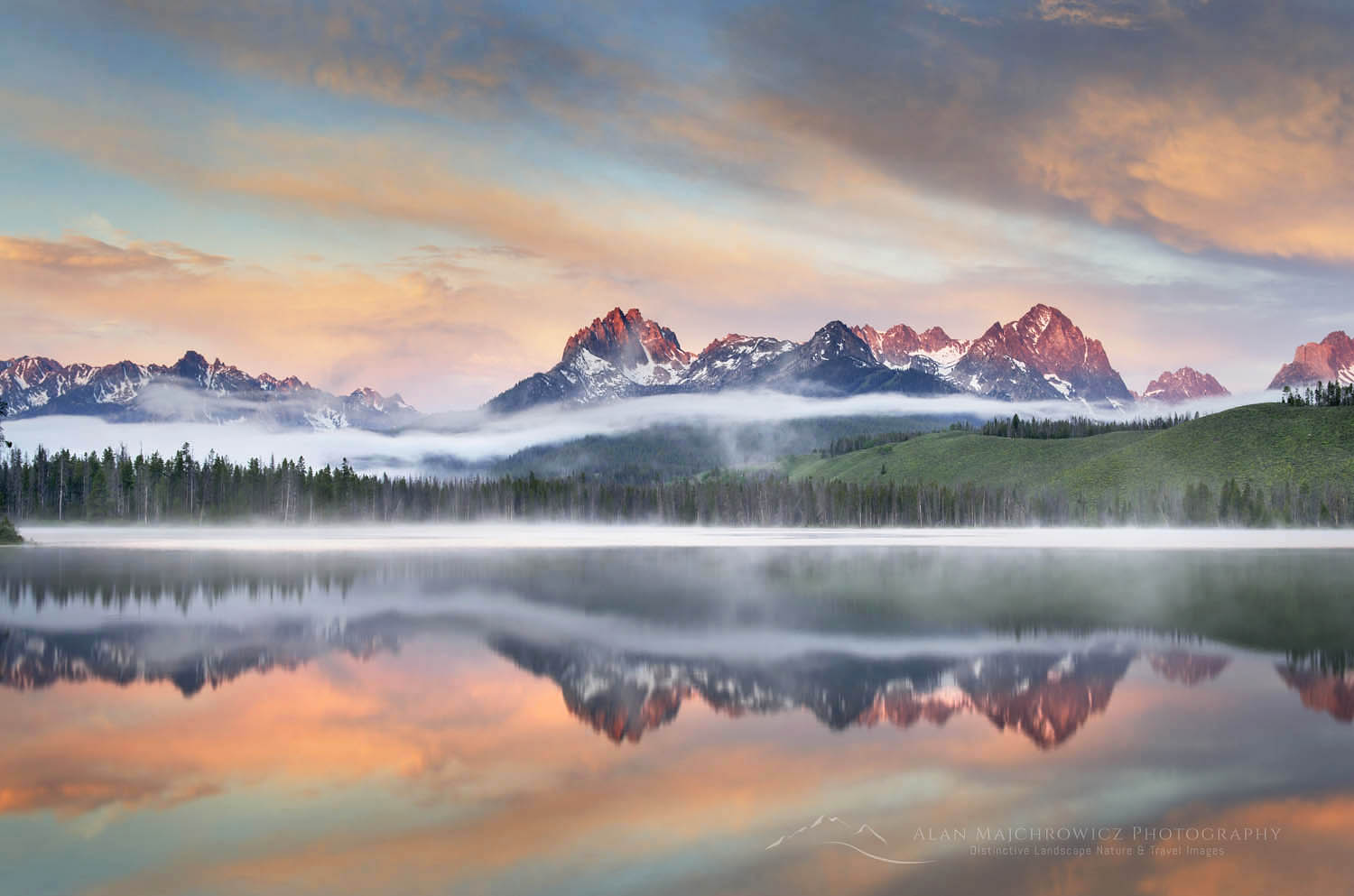
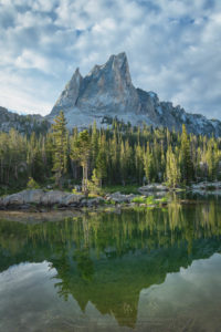
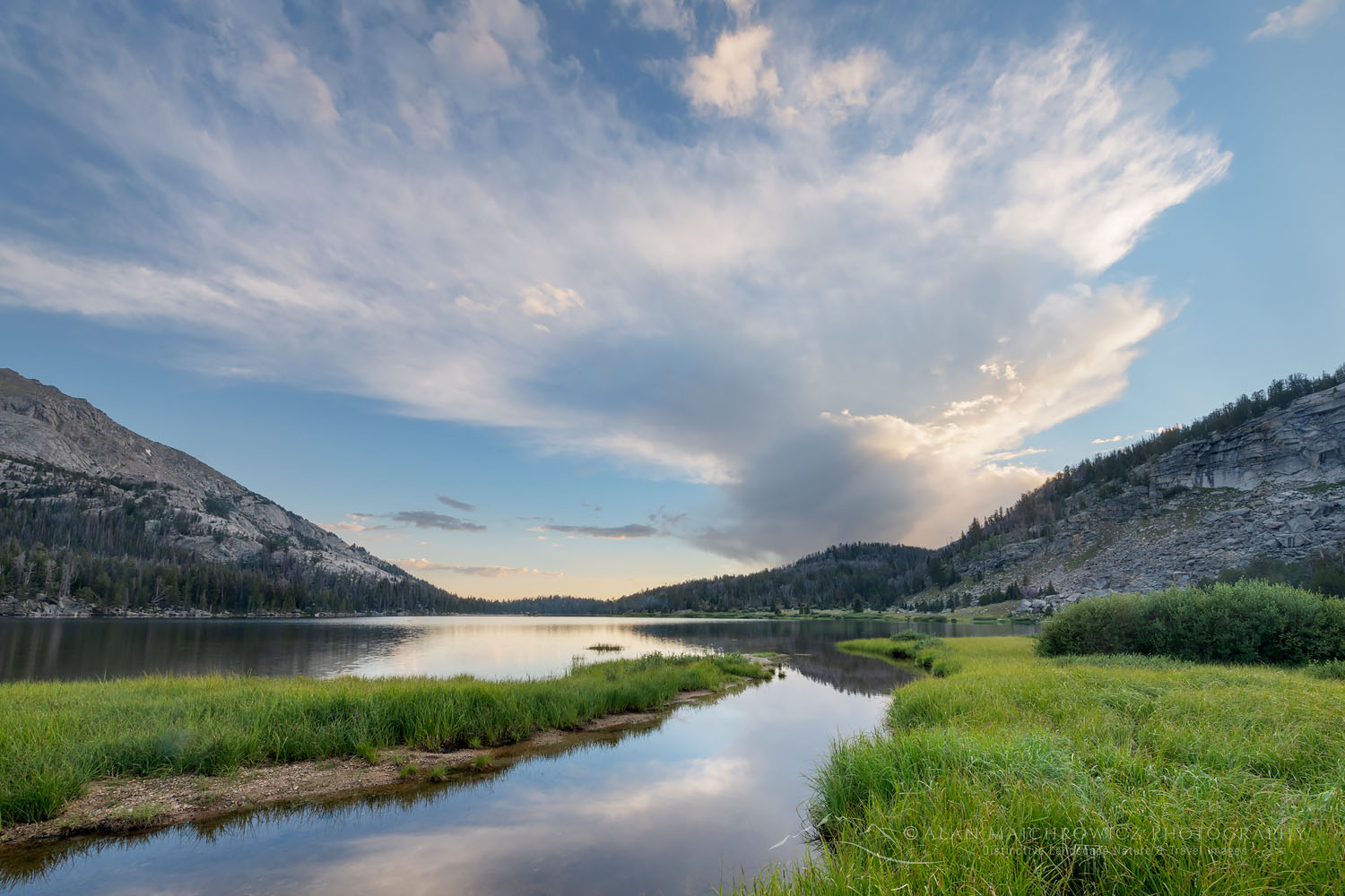
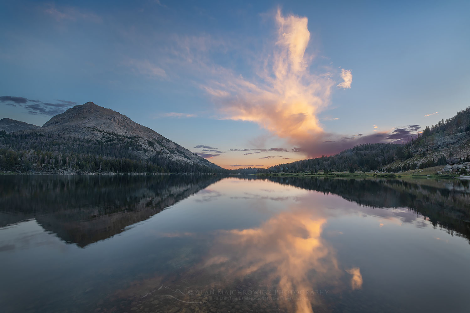
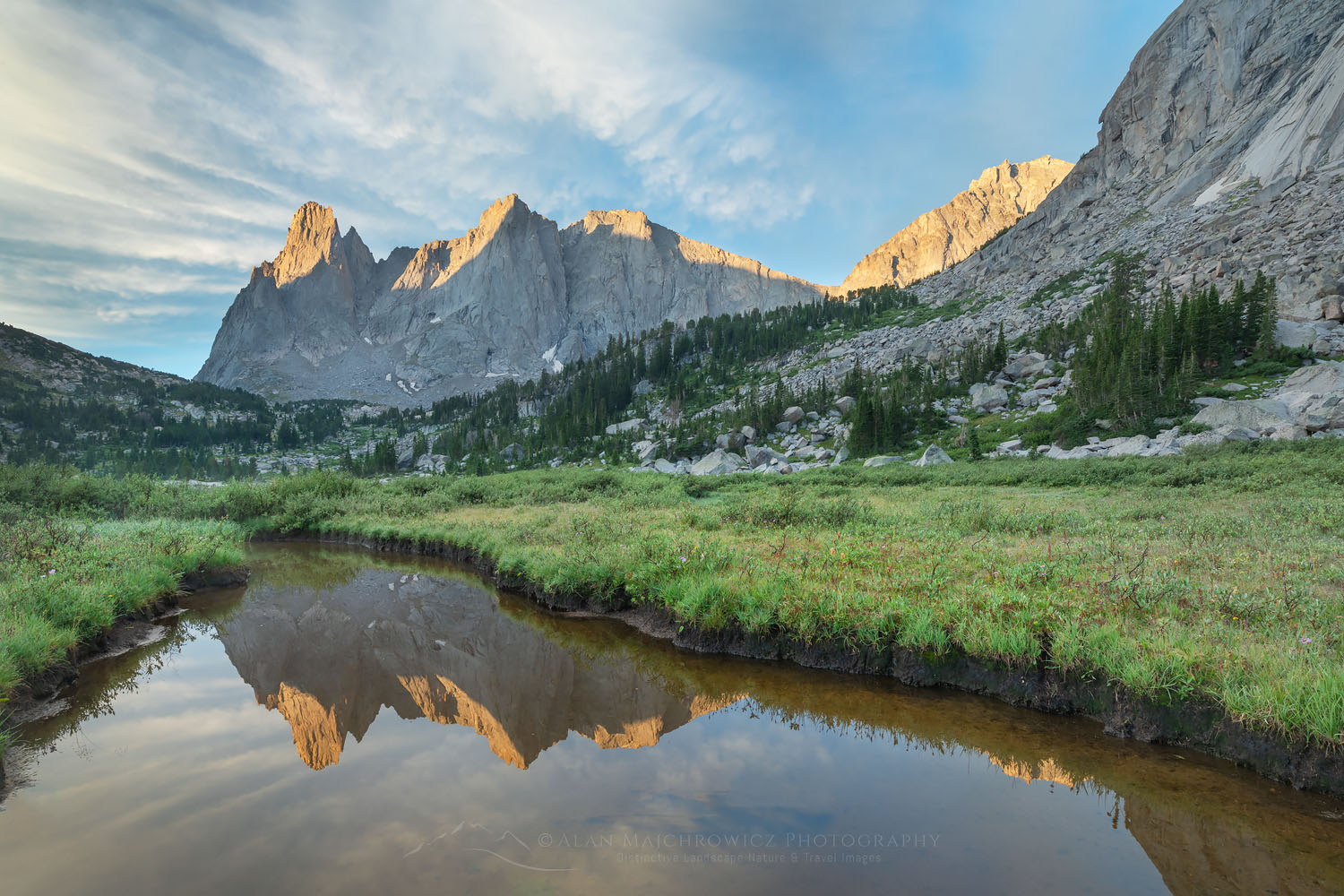
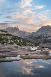
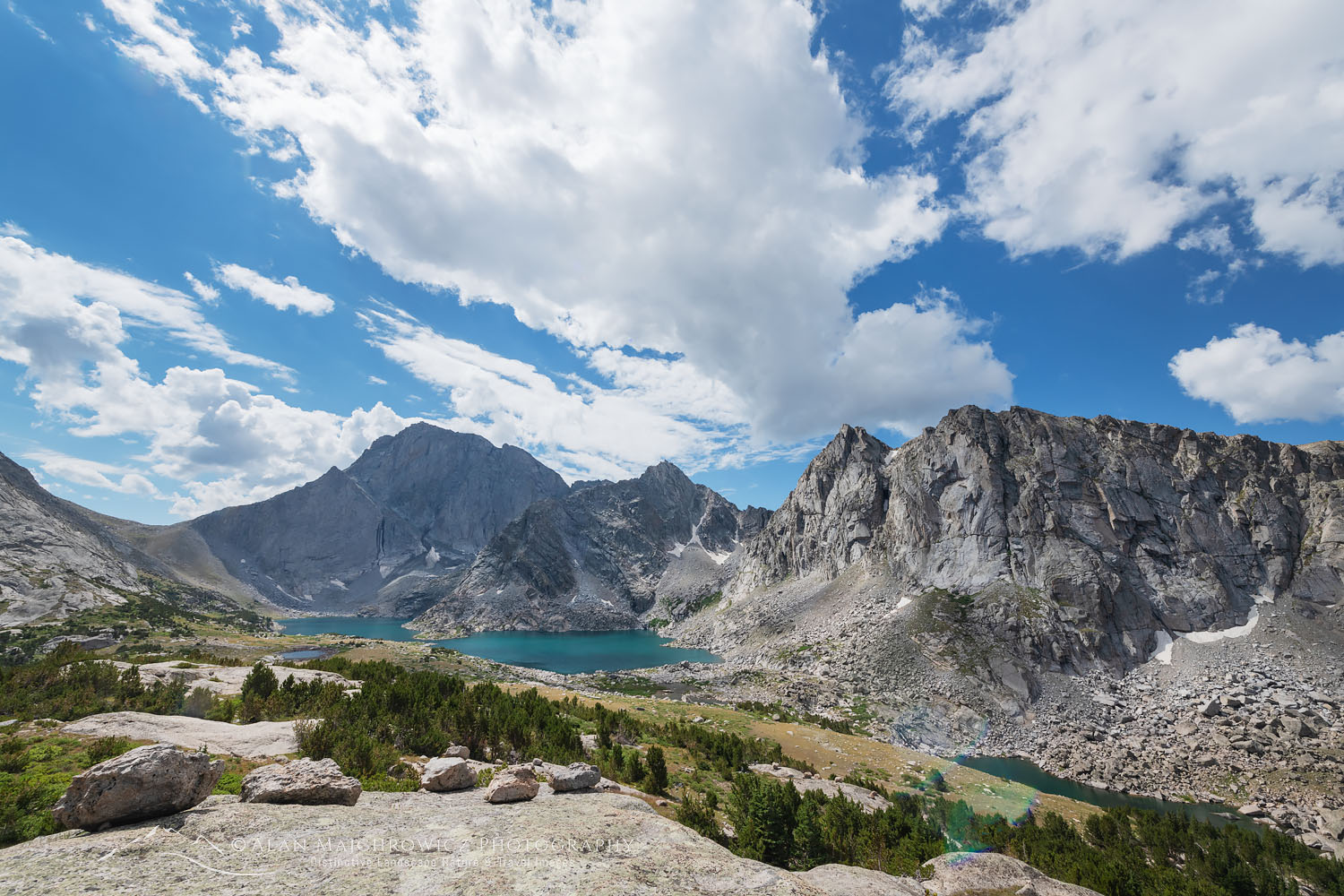
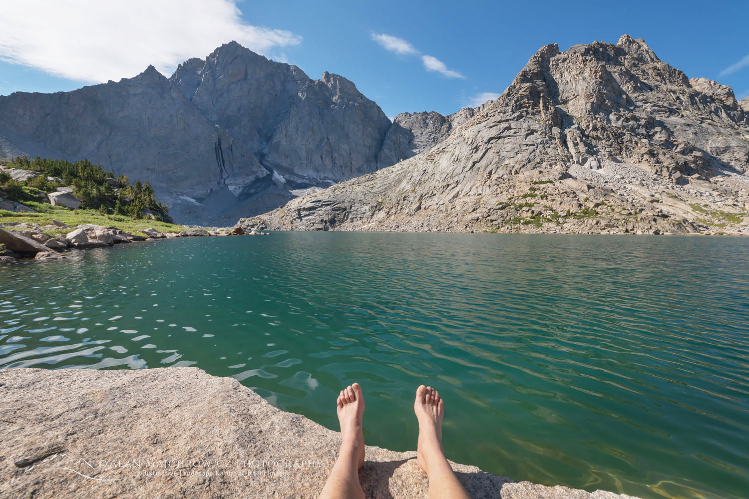
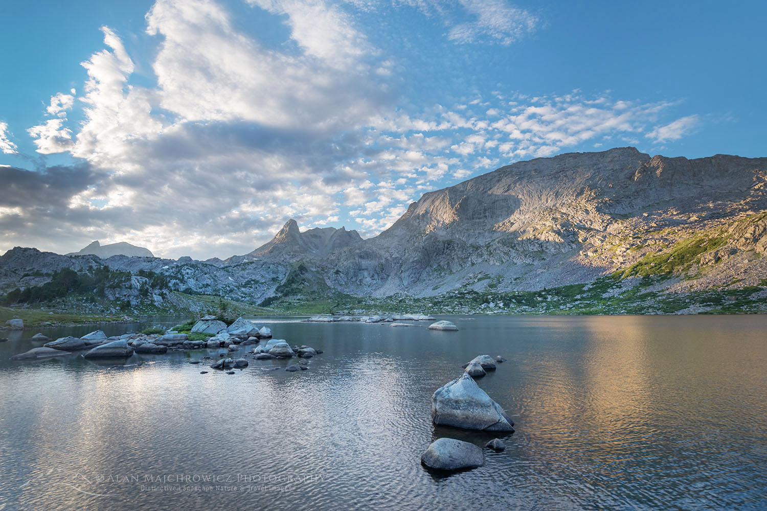
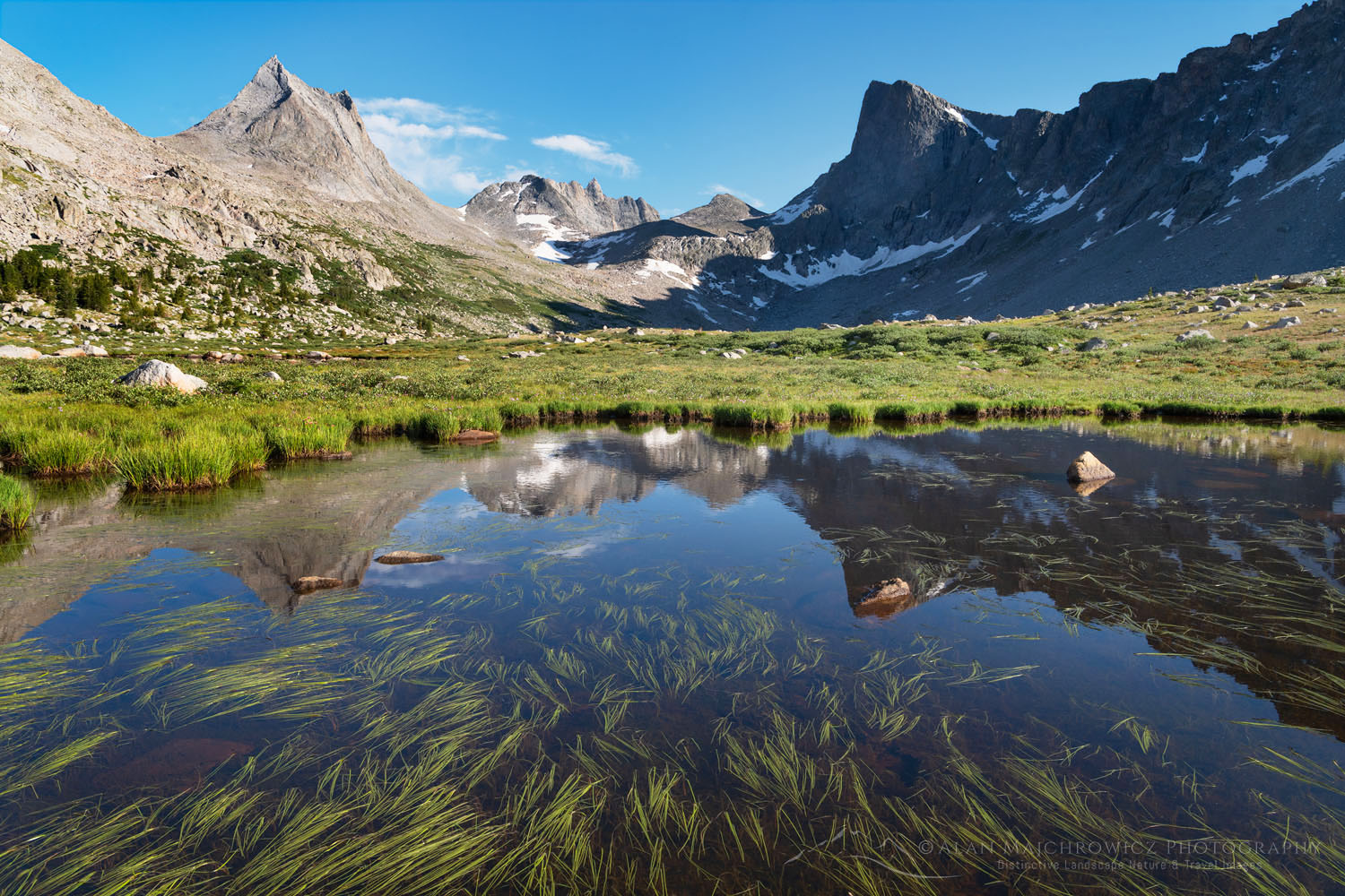
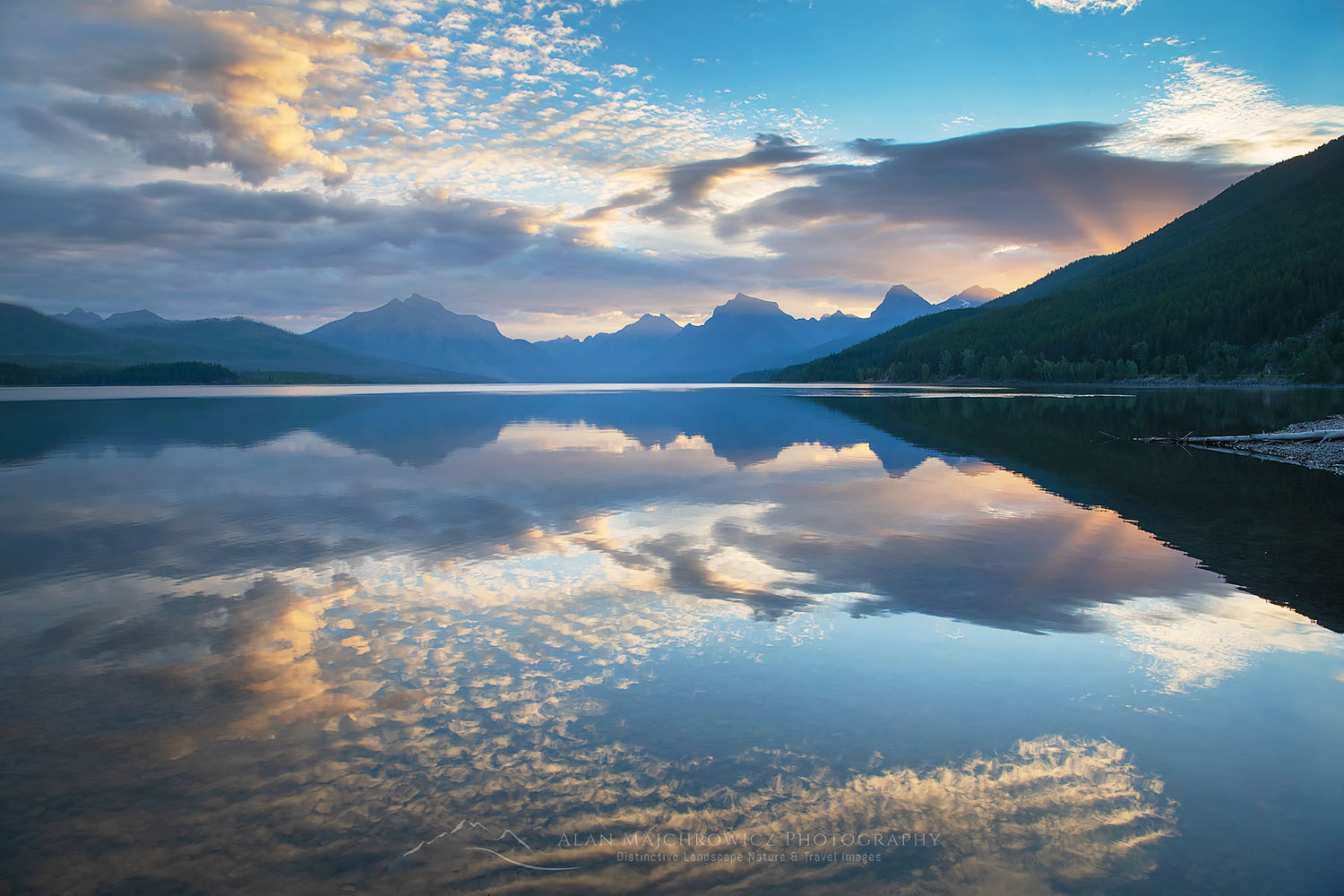
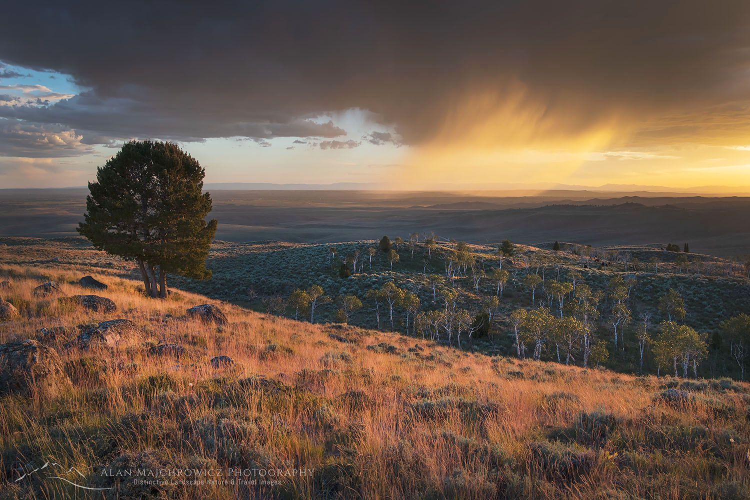
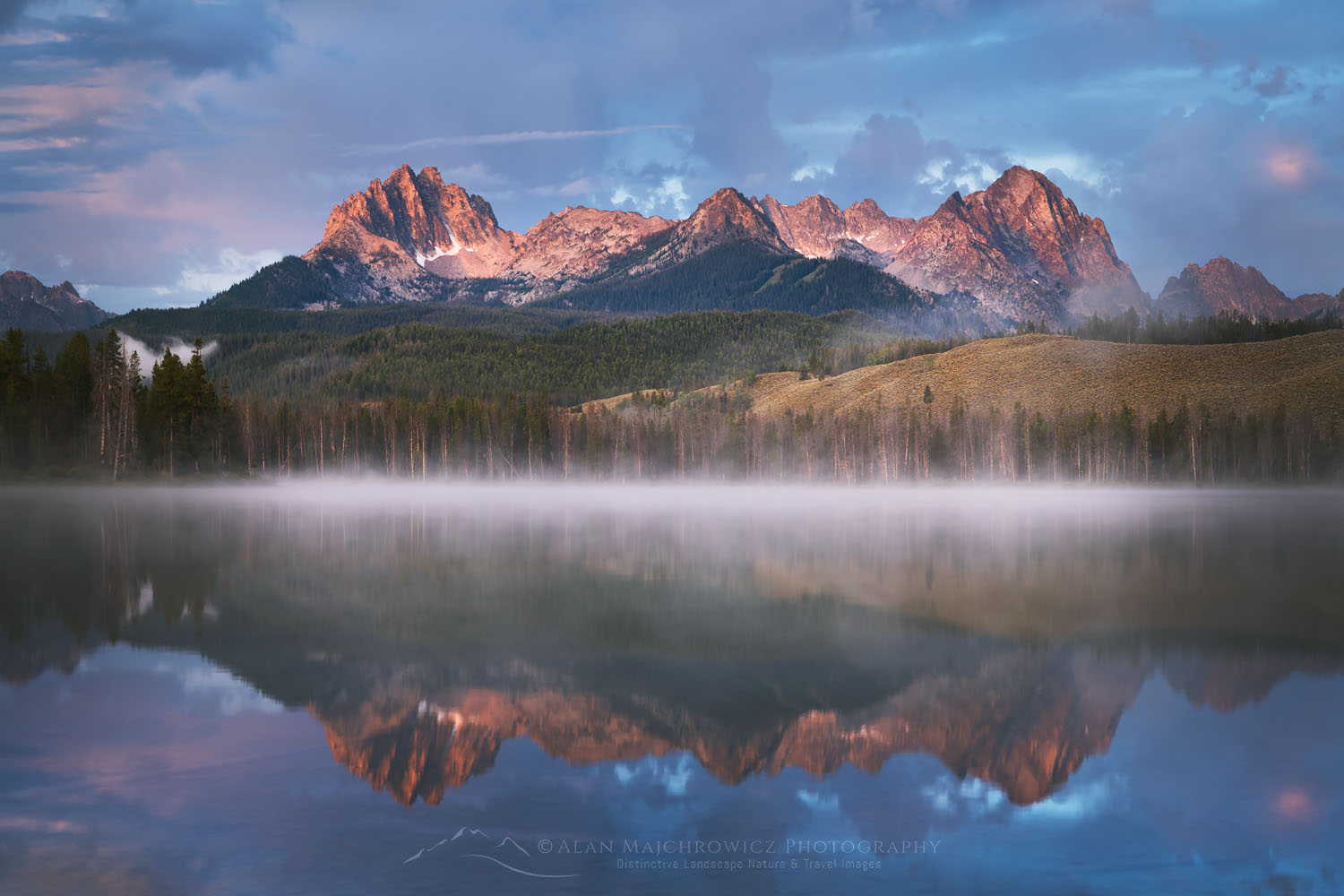
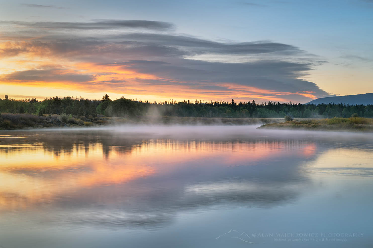
Little Redfish Lake, Sawtooth National Recreation Area Idaho

Summer Photography 2024

Summer is finally here and it’s time to hit the road and trails! This week I’ll be leaving for my extended summer photography 2024 tour.

Little Redfish Lake, Sawtooth National Recreation Area Idaho Summer Photography 2024Little Redfish Lake Sawtooth Mountains, Idaho #56176  Purchase

Summer is finally here and it’s time to hit the road and trails! This week I’ll be leaving for my extended summer photography 2024 tour. The tour will be similar to those in 2019 and 2021. Destinations will be Idaho’s Sawtooth and White Clouds Wilderness Areas, and then on to the Wind River Range in Wyoming.

While I’ve photographed most of the locations before I’m aiming to build on images from previous trips. As I mention in other posts, it’s rare that a photographer creates compelling images on the first visit to a location. Weather and lighting conditions may not be optimum, and it’s also difficult to fully know the new subject matter.

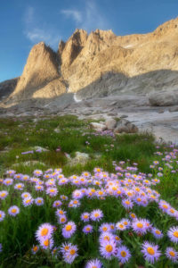
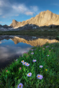
Mount Helen and field of purple Asters growing in Upper Titcomb Basin, Bridger Wilderness, Wind River Range Wyoming Summer Photography 2024Titcomb Basin Wildflowers #66700 Purchase

Below are some of the locations scheduled for this trip. As always locations are subject to change due to weather, wildfire smoke, etc.

  • Sawtooth Mountains Wilderness, Idaho / Cramer Lakes, Saddleback Lakes
  • Cecil D. Andrus-White Clouds Wilderness, Idaho / Boulder Chain Lakes
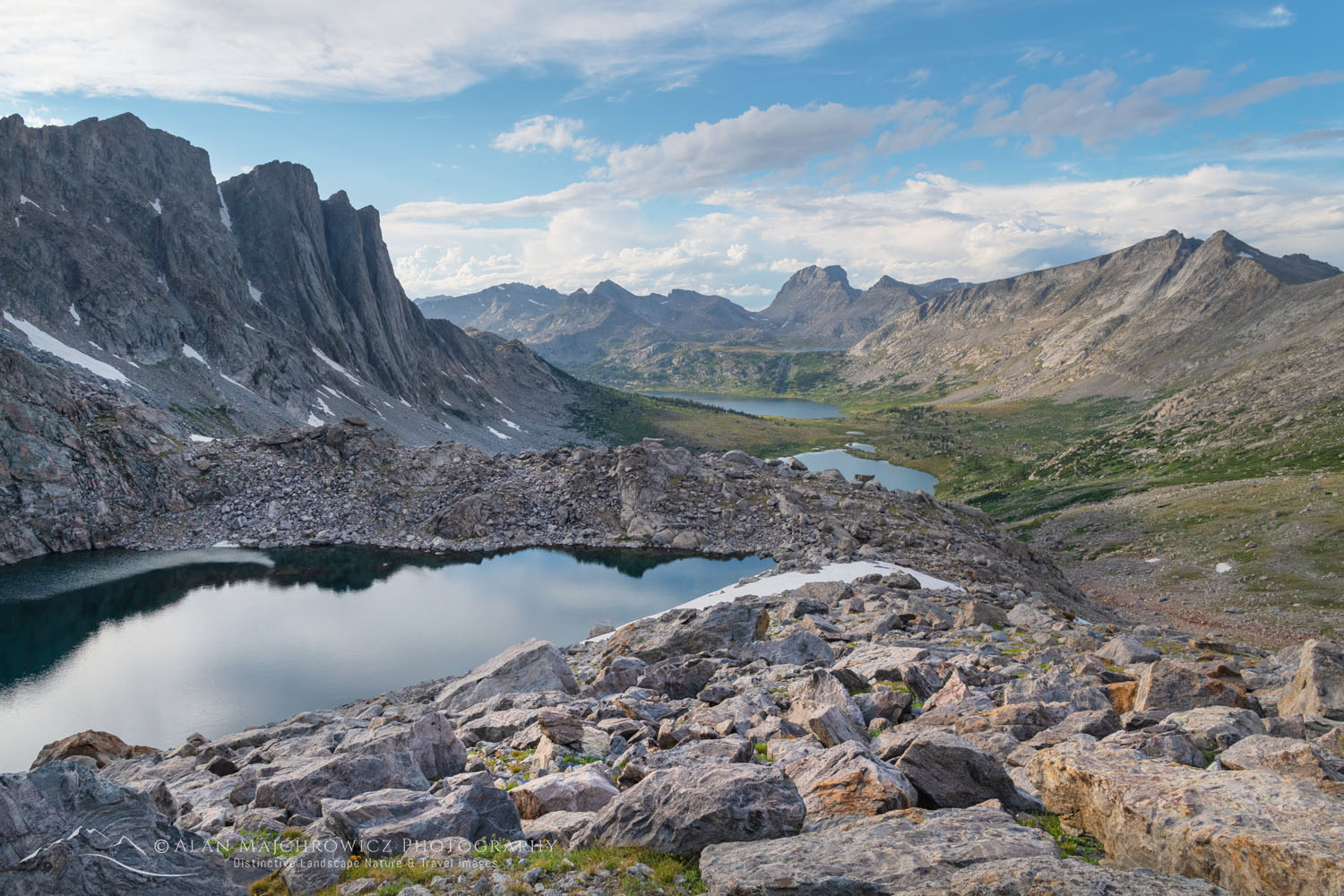
  • Wind River Range, Wyoming / East Fork Valley, Titcomb Basin, Pronghorn Peak, Green River Lakes

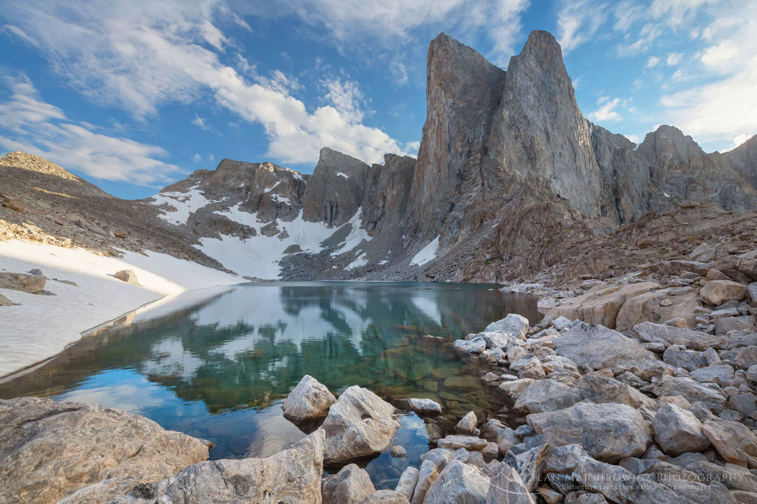
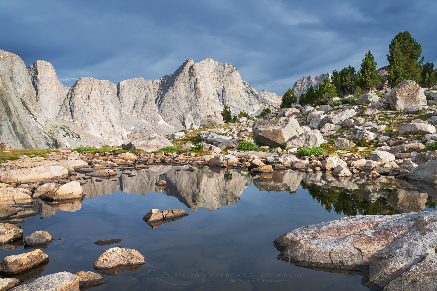
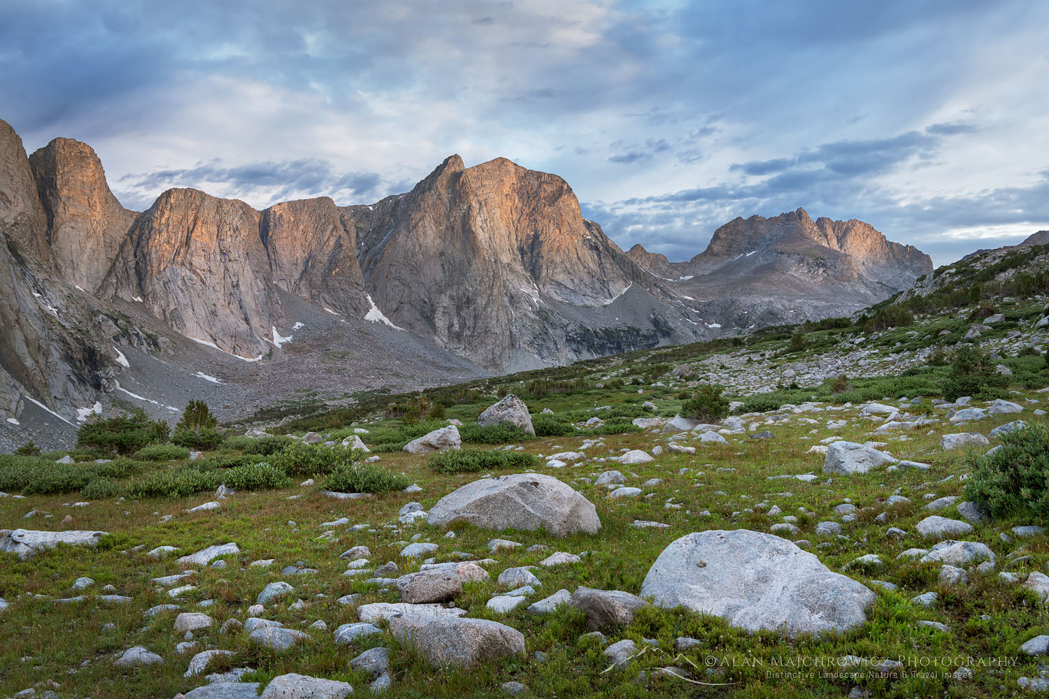
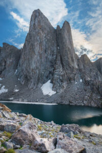
Pronghorn Peak and Lake Donna. Bridger Wilderness, Wind River Range WyomingPronghorn Peak Wind River Range #69198  Purchase

Check out the following links to see images and trip details from some of the locations:
Cecil D. Andrus-White Clouds Wilderness
Sawtooth Mountains, Idaho
Central Wind River Range 
Titcomb Basin Wind River Range
Green River Lakes Wind River Range

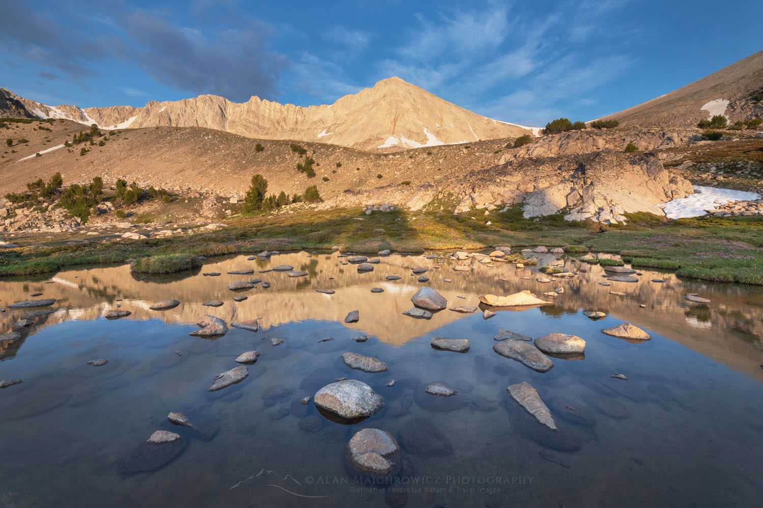
White Clouds Wilderness IdahoWhite Clouds Wilderness, Idaho #68945  Purchase

El Capitan and Alice Lake Sawtooth Mountains IdahoEl Capitan Sawtooth Mountains Idaho #66114  Purchase

All photos appearing in this post are available for Commercial Licensing and Fine Art Prints. Click on any image to purchase, or contact me for more info!

Summer Photography 2024

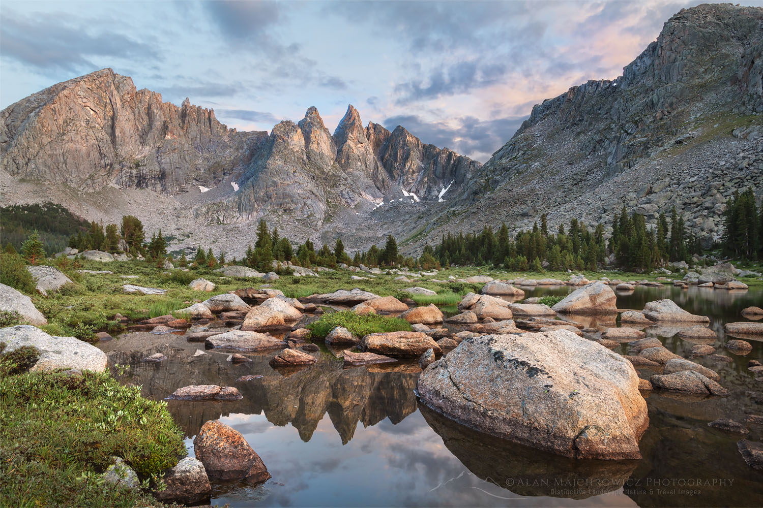
Lonesome Lake at dawn in Cirque of the Towers, Popo Agie Wilderness Wind River Range Wyoming #78372

Cirque of the Towers Wind River Range

Cirque of the Towers Wind River Range

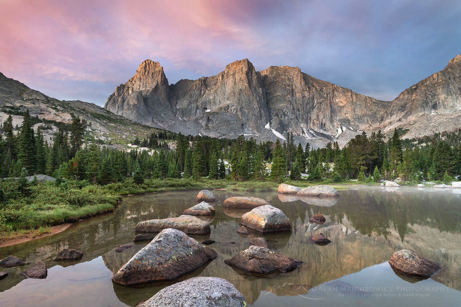
Lonesome Lake at dawn in Cirque of the Towers, Popo Agie Wilderness Wind River Range Wyoming #78372Cirque of the Towers Wind River Range #78372  Purchase

The Cirque of the Towers is one of the most popular destinations in Wyoming’s Wind River Range. Only Island Lake and Titcomb Basin come close in popularity. Both locations are mind-bogglingly beautiful with plenty of features to lure the outdoor enthusiast. The Cirque of the Towers however is more of a draw for rock climbers. Its numerous spires and big granite walls with dozens of routes are a climber’s dream.

This summer I made my third trip to the Cirque of the Towers with the goal of coming back with some great new photos. The previous trips were difficult and only partially successful for photography due to widespread wildfire smoke. So I’ve been waiting for the right time to make a return. As with my last trip to the Cirque, my plan was to also include a few days at nearby Deep Lake.

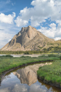
Mitchell Peak reflected in stream flowing into Lonesome Lake in Cirque of the Towers, Popo Agie Wilderness Wind River Range WyomingMitchell Peak Cirque of the Towers #78320  Purchase

This is also the second part of two backpacking trips to the southern Wind River Range. The first segment was a 7-day trip to Pyramid and Shadow Lakes. Shadow Lake sits on the backside of the Cirque of the Towers and is often part of a loop trip to the cirque that crosses over Texas Pass.

Some people may wonder why I didn’t just do that loop hike or one of several other longer scenic loops. The reason is that since my main goal is photography I need both flexibility and plenty of extra time built into my trips. Often I end up waiting for several days at a location for the right light for photography. So while most loops in the area can be done in 4-7 days, I would need more like 9-14 days. And going solo with lots of camera gear means I’d be carrying an unholy amount of weight.

Evening storm clouds refelcted in Big Sandy Lake, Bridger Wilderness, Wind River Range WyomingBig Sandy Lake Wind River Range #78267  Purchase

Big Sandy trailhead to Big Sandy Lake & Jackass Pass

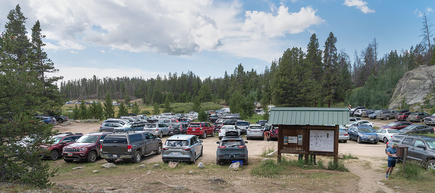
After a few days in Pinedale, I returned to the Big Sandy Trailhead. This trailhead was also the start of the first trip and is the jumping-off point for many other destinations. One look at the parking area might shock a first-time visitor. The lot is big, always full, and often overflows nearly a mile back down the road. But again this trailhead is the starting point for many different destinations, so not everyone parked there is going to the same place.

The approximately 5.5-mile hike to Big Sandy Lake is pleasant with minimal elevation gain. And it’s entirely possible to continue from Big Sandy Lake into the Cirque in one day. However, Big Sandy is a nice place to spend the first night if you got a late start. Or if like me you enjoy hiking at a leisurely pass and would like to photograph evening light at the lake. There are plenty of campsites along the west and north sides of the lake. But if you arrive late in the day you may be out of luck finding one.

Clouds refelcted in Big Sandy Lake at sunset, Bridger Wilderness, Wind River Range WyomingBig Sandy Lake Wind River Range #78299  Purchase

On the second day, I got a crack of dawn start to tackle the climb to Jackass Pass and down to Lonesome Lake on the other side. The pass is only 2.4 miles from Big Sandy Lake with about 1100′ of elevation gain. However, there is a surprising amount of significant ups and downs along the way. Plus much of the trail is over rough rocky terrain. Starting up in midday sun and heat is not recommended.

At a little over the halfway point, there is a junction with a trail marked “Climbers Route”. This trail climbs through a boulder field along Arrowhead Lake to a lower pass SW of Jackass Pass. I’ve never done it but although it looks like a quicker route I’ve heard it’s very difficult and tiring. Most hikers follow the main trail, even though from here on it’s often steep and in a few spots easy to lose. From the pass, it’s a descent to Lonesome Lake with stupendous views at every step.

War Bonnet and Warrior Peaks reflected in Lonesome Lake at dawn in Cirque of the Towers, Popo Agie Wilderness Wind River Range WyomingDawn at Cirque of the Towers Wind River Range #78372  Purchase

Lonesome Lake Cirque of the Towers

Though it was a short hike up and over the pass I was ready to find a campsite near Lonesome Lake and relax a bit. Most of the better sites are east of the lake on both sides of the North Popo Agie River. Hanging food or using bear-proof canisters is absolutely necessary. Not so much because of bears but for the bold thieving squirrels!

*It must be noted here that camping is not permitted within 1/4 mile of Lonesome Lake.  It would seem pretty obvious that an area that receives such heavy use would need a little extra love and consideration. Most people follow that rule but not all. It seems some hikers who get a late start, or thru-hikers that travel from dawn to dusk are too tired to bother, or even care.

Cirque of the Towers reflected in stream flowing into Lonesome Lake, Popo Agie Wilderness Wind River Range WyomingCirque of the Towers Wind River Range #78418  Purchase

Mitchell Peak and Cirque of the Towers reflected in Lonesome Lake, Popo Agie Wilderness Wind River Range WyomingLonesome Lake Wind River Range #78444  Purchase

As usual, after setting up camp I scouted the area around the lake for photo compositions. One of my favorite spots is near the outlet on the south side of the lake. There are plenty of partially submerged boulders in the water to aid in composing photos. Another good spot is on the NE side of the lake by grassy meadows and streams. Both offer different views of the Cirque and give some variety to your images. During one morning with particularly good light, I first set up by the boulders and then ran to the other end while the light was still good, and back again to the start. It was exhilarating, and went a long way to make up for days of boring light!

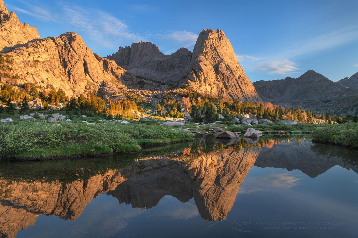
Pingora Peak reflected in pond. Cirque of the Towers Popo Agie Wilderness. Wind River Range Wyoming #78532Pingora Peak Wind River Range #78530  Purchase

Upper Cirque of the Towers

Aside from Lonesome another fantastic area is higher up and closer to the towers of the Cirque. This is where most of the climbers set up camp. And once again it is advisable to arrive very early in the day to find a suitable campsite. Being almost above the tree line this area can be problematic for hanging food. Again, bears aren’t much of a problem in the Cirque, as far as I know, but smaller critters are. Bear-proof food canisters are a good idea in the upper Cirque. An alternate ingenious method is to hang food from a long branch secured on a big boulder.

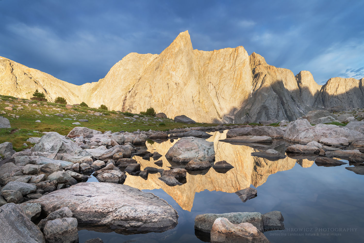
There are several features in the Upper Cirque attractive for photographers. The first is a small wide waterfall pouring over a smooth rock face. You’ll need an ultra-wide lens here though to get a good composition. Behind the waterfall are several small ponds which perfectly mirror Pingora Peak and the other towers.

Cirque of the Towers waterfall. Popo Agie Wilderness. Wind River Range WyomingCirque of the Towers Waterfall #78490  Purchase

A little further back and a short scramble up is a glacial tarn beneath the walls of Warrior Peaks. It has a greenish-blue color from glacial flour. Again, you’ll need a wide-angle lens for compositions here. Plus, lighting can be tricky since the towers are mostly in full sun or total shade. Of course dramatic sunrise or sunset, clouds make the task much easier.

For just about any visitor whose sole destination is the Cirque of the Towers I definitely would advise spending at least two nights. For serious photography, I would double or triple that.


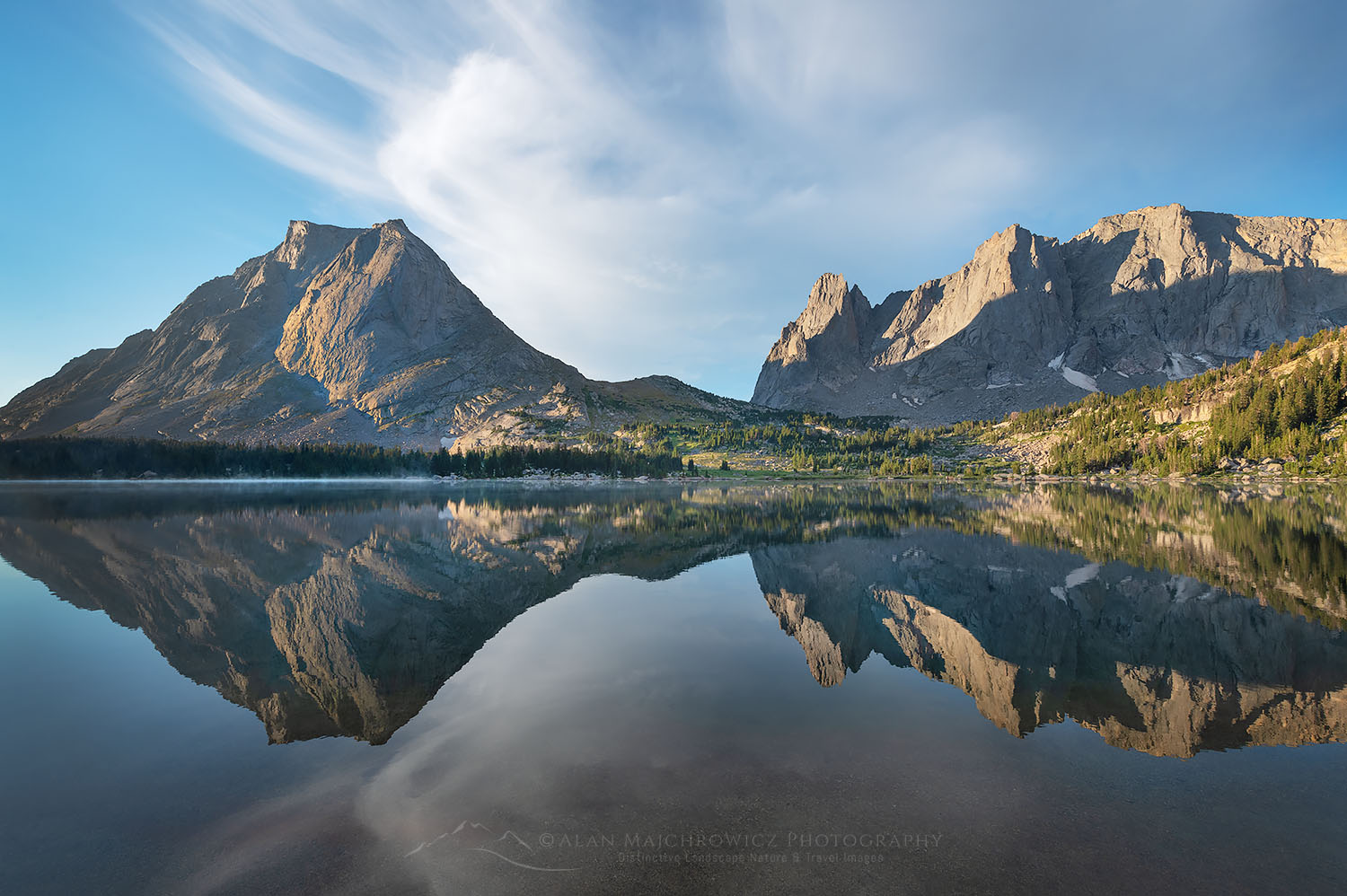
East Temple and Temple Peaks reflected in Deep Lake. Bridger Wilderness Wind River Range WyomingDeep Lake Wind River Range #78599  Purchase

Deep Lake

After spending time in the Cirque my next destination was Deep Lake. From the Cirque it’s less than a 6-mile hike, but first, a climb back up and down Jackass Pass is necessary.  So to beat the heat and get a campsite at Deep Lake another sunrise start was in order. I was already higher up so the climb wasn’t too bad. But the hike back down the pass to Big Sandy Lake was still tiring, due to all the ups and downs and rough terrain along the way.

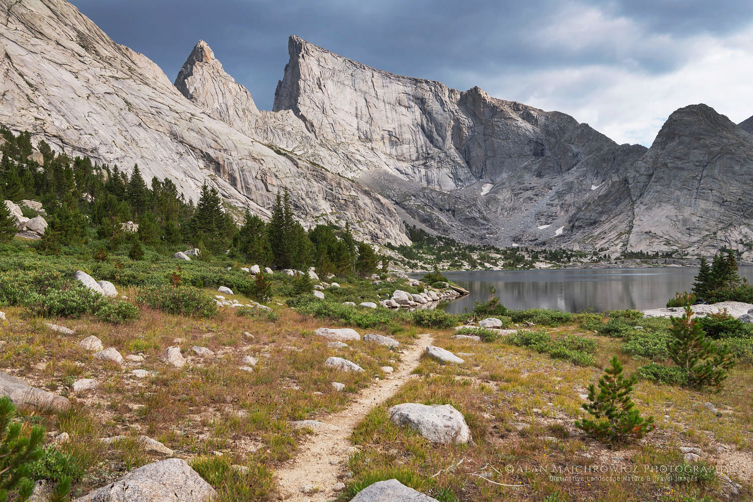
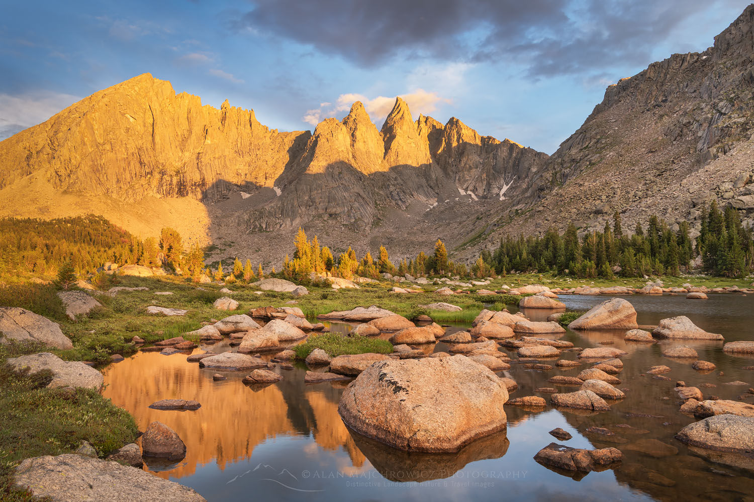
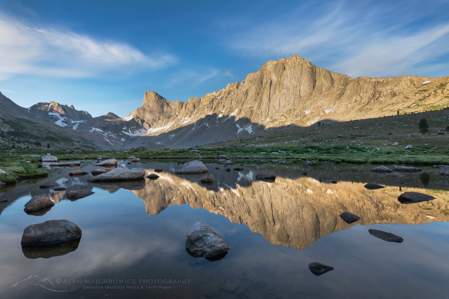
From Big Sandy to Deep Lake the trail is mostly pleasant and easy. The last mile or so is a bit exciting as you must route-find your way up and across an extensive slab of granite. Once at Deep Lake the views are again stupendous. The rocks and lake make a perfect frame for the backdrop of East Temple and Temple Peaks. Behind you is another impressive sight, the peaks of the Cirque of the Towers in the distance.

View towards Cirque of the Towers from Deep Lake. Bridger Wilderness Wind River Range WyomingCirque of the Towers from Deep Lake #78568  Purchase

The area around Deep Lake doesn’t see as many visitors as the Cirque but finding a campsite is generally more difficult than at the Cirque. Mainly because of the lack of suitable flat spots. Many backpackers set up tents on the broad flat granite slabs near the lake outlet. Tents are then anchored down with large rocks.

Temple Peak, Bridger Wilderness, Wind River Range WyomingTemple Peak (L) and Lake #78649  Purchase

Temple Peak and Temple Lake

While Deep Lake can be a destination in itself there is far more to explore and see. Along the west side of the lake, there is a good trail that climbs up to a saddle on the long ridge. It’s only about a twenty-minute hike to the broad pass with even more impressive views and more exploring. A short and easy trail leads down to Temple Lake and the rock and flower gardens surrounding it. The more ambitious can continue up to Temple Pass and then the long ramp to the summit of East Temple Peak.

Temple Peak and Temple Lake. Bridger Wilderness, Wind River Range WyomingTemple Lake #78625  Purchase

I was hoping to be able to spend a night or two in the vicinity of Temple Lake for more photography. However, I only had one night left and I was still waiting for some good light back down at Deep Lake. Oh well, another excuse to come back in the future!

That evening back at camp and the lake some nice clouds were hanging around during the first part of golden hour. They didn’t stay for a nice sunset glow but it was productive anyway. In the morning there was a bit of a repeat light show but in reverse.

Packing up and hiking down the trail back to my truck I again had that satisfying feeling of wrapping up another great trip and returning home warm set of memories. Not to mention lots of new images!

East Temple and Temple Peaks reflected in Deep Lake. Bridger Wilderness Wind River Range WyomingDeep Lake Wind River Range #78674  Purchase

If You Go to Cirque of the Towers and Deep Lake:

Distance: ~31 miles round trip
Elevation: ~2300″ not including numerous elevation gains and losses
Difficulty:  Moderate
Red Tape:  As of 2022, no permits are needed
Maps: Wind River Range South; Beartooth Publishing
Guidebooks: Beyond Trails in the Wind River Mountains

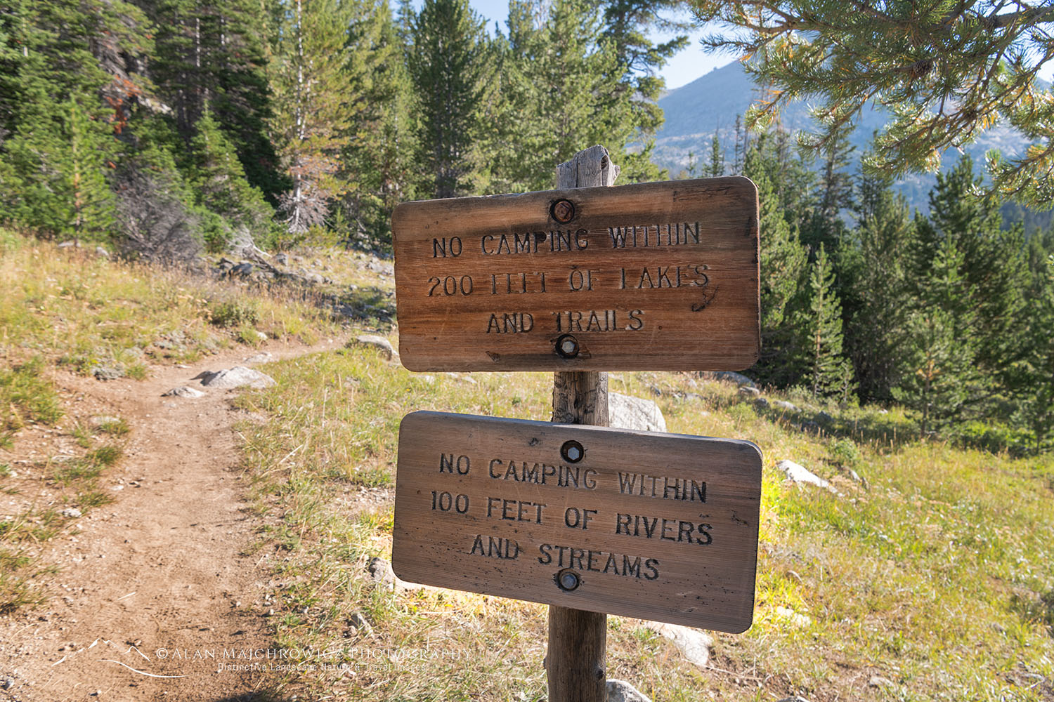
*Please be courteous and think of future visitors, respect the signs, and don’t camp within 1/4 of Lonesome Lake. Also, camp at least 200′ of lakes and trails and 100′ from rivers and streams.

Trail signs Bridger Wilderness Wind River Range WyomingBig Sandy Trail signs Wind River Range #78683  Purchase

The Big Sandy Trailhead is located about 56 miles south of Pinedale. The last eight miles or so can be rough and slow going but is passable for ordinary passenger cars. Adjacent to the trailhead there is a small campground, and there are also scattered sites along the last few miles of the road. Like most trailheads in the Winds, parking can be at a premium, get an early start.

Make sure you take along plenty of insect repellant. The Winds are notorious for their ravenous hordes of mosquitoes and flies. Although they weren’t too bad during my trip in early August. Also, be prepared for dramatic weather changes. Summer thunder and lightning storms are very common along the Continental Divide. Because of this stay off high ridges and summits during the afternoon.

The town of Pinedale makes a great base for multiple trips into the Winds. It has everything you’ll need, from good food and lodging to one of my favorite outdoor recreation stores, the Great Outdoor Shop. It’s stocked with everything needed for a successful trip, including a very knowledgeable and friendly staff. Don’t visit Pinedale without dropping in! Right next door to the great Outdoor Shop is the best place to go for a post-trip meal, the Wind River Brewing Company. They have excellent burgers and great brews!

Pingora Peak reflected in Lonesome Lake at dawn. Popo Agie Wilderness, Wind River Range WyomingPingora Peak Wind River Range #78384 

Leave No Trace

Please Please Please!  Don’t plan a trip to this or any other wilderness area unless you are prepared to follow the guidelines of Leave No Trace (LNT). The Wind River Range and all other wilderness areas throughout the world are under incredible pressure from growing amounts of visitors. Please do your part to help preserve these precious areas for future generations!

To learn more about the principles and practicing LNT please take a few minutes to visit the Leave No Trace Center for Outdoor Ethics. Your children and grandchildren will thank you!

LEAVE NO TRACE SEVEN PRINCIPLES

1. Plan Ahead and Prepare
2. Travel and Camp on Durable Surfaces
3. Dispose of Waste Properly
4. Leave What You Find
5. Minimize Campfire Impacts
6. Respect Wildlife
7. Be Considerate of Other Visitors
© Leave No Trace: www.LNT.org

Photo Gear Used On This Trip

Nikon D850
Nikkor Lens:
14-24mm 2.8G ED
24-70mm 2.8E ED
Gitzo 1532 Tripod
Really Right Stuff B-55 Ball Head
B+H Polarizing Filter
Vello FWM-N2 Remote Shutter Release

East Temple Peak and trail along Deep Lake. Bridger Wilderness Wind River Range WyomingEast Temple Peak and  Deep Lake #78557  Purchase

If you enjoyed reading about the Cirque of the Towers Wind River Range please share it with your friends and family.

Also, check out these other Wind River posts!

Wind River Range Pyramid and Shadow Lakes
Central Wind River Range Backpacking
Bonneville Lakes Wind River Range
Island Lake Wind River Range
Titcomb Basin Wind River Range
Indian Basin Wind River Range
Green River Lakes Wind River Range

All photos appearing in Cirque of the Towers Wind River Range are available for Commercial Licensing and Fine Art Prints. Click on any image to purchase, or contact me for more info!

Cirque of the Towers Wind River Range

Ambush Peak, Bridger Wilderness. Wind River Range Wyoming

Wind River Range Pyramid and Shadow Lakes

Wind River Range Pyramid and Shadow Lakes 

Shadow Lake and view of the backside of Cirque of the Towers. Bridger Wilderness. Wind River Range WyomingShadow Lake Wind River Range #78151   Purchase

The Wind River Range is a mountain range in western Wyoming. It encompasses 40 peaks over 13,000′ in altitude, over 1300 named lakes, and is home to the largest glacier in the American Rockies. While not as well known as nearby Grand Teton National Park, the Winds nonetheless attracts an increasing amount of backpackers, climbers, photographers, hunters, and fishermen. An extensive network of trails, and easy cross-country travel, give access to nearly every corner of the range. All of this offers outdoor enthusiasts a lifetime of wilderness adventures.

My first visit to the Winds was in 2002, and I’ve been coming back for more adventure ever since. On this summer’s return, I visited the Southern part of the range on two separate backpacking trips, each lasting from 6-9 days.

Peaks and ridges of East Fork Valley seen from tarn above Pyramid Lake. Bridger Wilderness. Wind River Range WyomingAmbush Peak Wind River Range #78047  Purchase

The first trip would take me to views of the awesome peaks of the East Fork Valley, also known as Desolation Valley. Then moving on to Shadow Lake for views of the backside of the Cirque of the Towers. The second trip, coming in my next post, would be to the Cirque of the Towers itself, and then to Deep Lake with views of East Temple and Temple peaks.

Big Sandy Trailhead parking area. Wind River Range WyomingBig Sandy Trailhead #78182  Purchase

Big Sandy Trailhead Wind River Range

For both trips, the start would be from the Big Sandy Trailhead, one of the main access points for the southern part of the range. Getting to the trailhead is itself an adventure. It is about 56 miles from the nearest town of Pinedale with about half that distance on unpaved roads. The last 8 miles or so can be pretty rough and bumpy but is passable for regular passenger cars without four-wheel drive.

First-time visitors will be amazed, although possibly disheartened, by the huge amount of cars in the parking lot and overflowing nearly a mile down the road. However, it’s worth noting that the Big Sandy trailhead gives access to many other trails and destinations. So rest assured, not all of those vehicles belong to people heading to the Cirque.

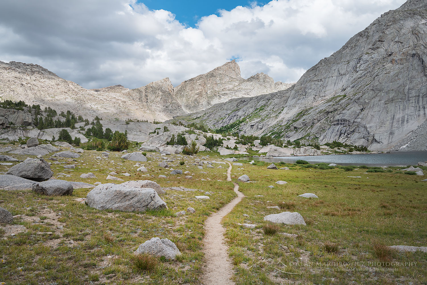
Fremont Trail alongside Marms Lake Bridger Wilderness WyomingMarms Lake Wind River Range #78176  Purchase

Hiking to Pyramid Lake Wind River Range

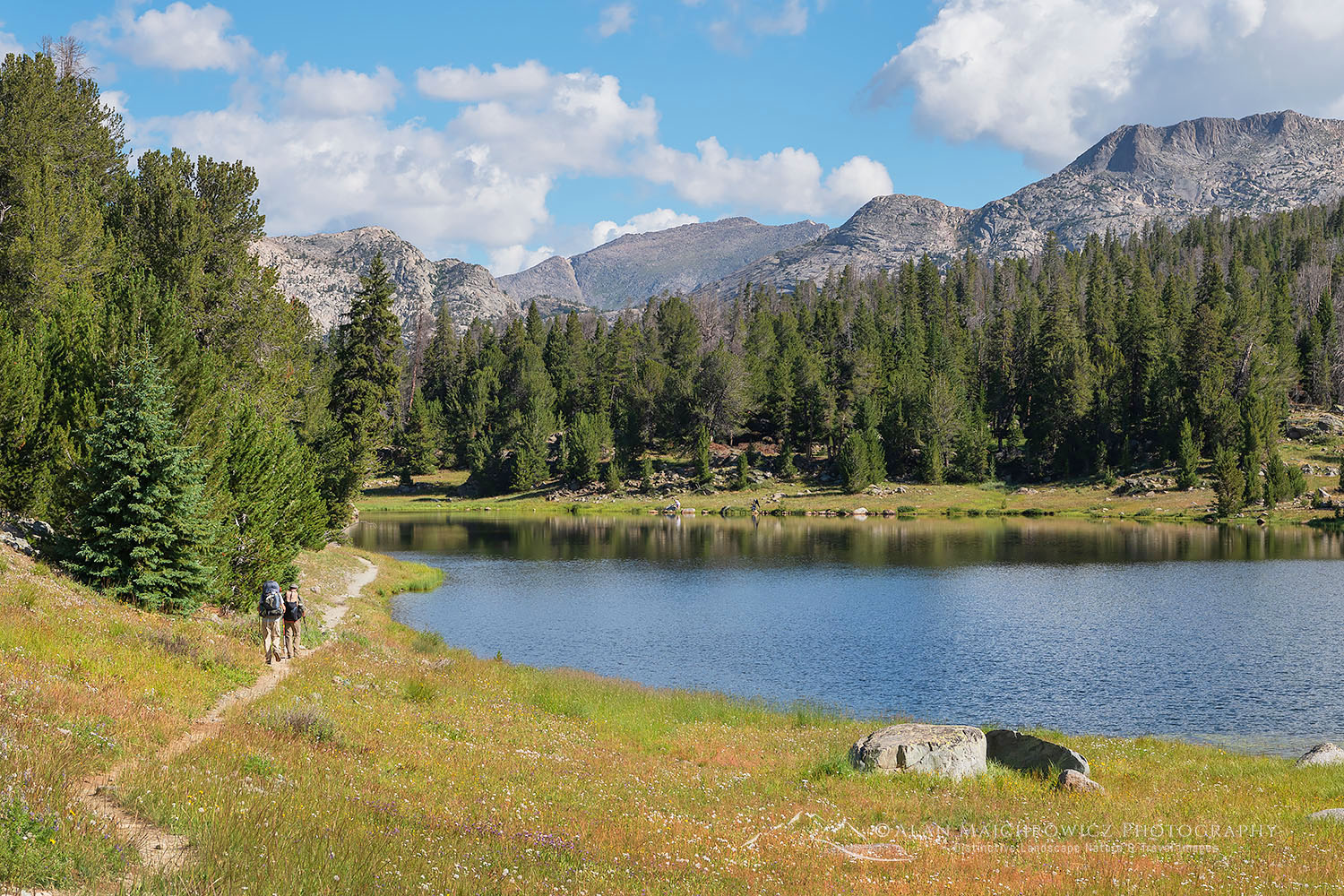
My first destination was  Pyramid Lake and a small nearby pass with views of the East Fork or Desolation Valley. It’s about a 12-mile hike from the trailhead to Pyramid Lake and is part of the popular Hailey Pass Washakie Pass Loop. After gradually ascending through the open forest for the first few miles, the trail enters wide open meadows. This is some of the most pleasant hiking imaginable. Soon the trail passes Mirror Lake, then Dads Lake, and finally Marms Lake.  All of these are very picturesque and inviting for fishing and camping.

Subalpine pond at sunset. Bridger Wilderness, Wind River Range WyomingSubalpine Pond Wind River Range #77976  Purchase

Being the first day of an 8-day trip and loaded with camera gear my pack was pretty heavy. So upon reaching some lovely subalpine ponds just beyond and above Marms Lake I decided to set up camp. It was a very scenic area set amid meadows and polished rock outcroppings. All the other hikers on the trail passed up this spot so I had it all to myself! Plus I was able to make some nice photographs here during the golden hour light.

The next day’s hike was a bit shorter, although with more elevation gain. Shortly after starting the trail began to climb and enter the actual mountains. Up to this point, travel was along a high benchland running parallel to the big peaks along the Continental Divide. And once again along the way, there was a string of picturesque lakes along the way.

Pyramid Lake, Bridger Wilderness. Wind River Range WyomingPyramid Lake Wind River Range #77995 Purchase

Pyramid Creek, Bridger Wilderness. Wind River Range WyomingCreek flowing from Pyramid Lake Wind River Range #78011 Purchase

Pyramid Lake and Pass Wind River Range

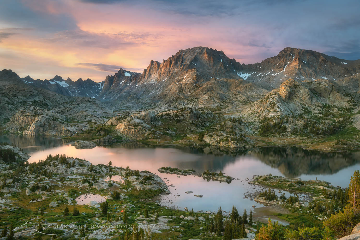
After one last short but steep climb Pyramid Lake came into view. Sitting at 10,500′ and bordered on three sides by tall granite peaks it is a stunning scene. Although my main goal of a small pass was only a short hike further I decided Pyramid Lake was a worthy spot to spend the night and do some photography.

After setting up camp I did my usual location scouting in preparation for evening photography before making dinner.  Even though the middle of August was approaching, mosquitoes were still a nuisance and hindered the enjoyment of evening photography.

Raid Peak seen from tarn above Pyramid Lake. Bridger Wilderness. Wind River Range WyomingRaid Peak Wind River Range #78055 Purchase

The next day I moved camp the short distance higher up to the small pass overlooking the East Fork River valley. The views here were especially stunning. In addition, there was even a small tarn in a perfect location to aid in composing photographs. I only had to sit back, enjoy the surroundings, and wait for some good light for photography.

My original trip plan was to descend into the East Fork or Desolation Valley and photograph there for a few days before doing the entire Hailey Pass/Washakie Pass Loop. However, after consulting the map I felt that Shadow Lake needed to be a part of this trip. But allotting enough time at Shadow Lake for meaningful photography would mean a major altering of my itinerary.

Raid and Bonneville Peaks above East Fork Valley, Bridger Wilderness. Wind River Range WyomingRaid and Bonneville Peaks Wind River Range #78043 Purchase

Peaks and ridges of East Fork Valley seen from tarn above Pyramid Lake. Bridger Wilderness. Wind River Range WyomingAmbush Peak Wind River Range #78046  Purchase

After a lengthy debate, I made the difficult decision to stay at the pass before moving directly to Shadow Lake. Unfortunately, Desolation Valley and the Hailey Pass/Washakie Pass Loop will need to be part of a future trip. I should note here that since my main goal on backpacking trips is photography, I often need to have the flexibility to be able to change plans, so I have enough time to wait at a location for optimum lighting conditions. And this soon proved essential.

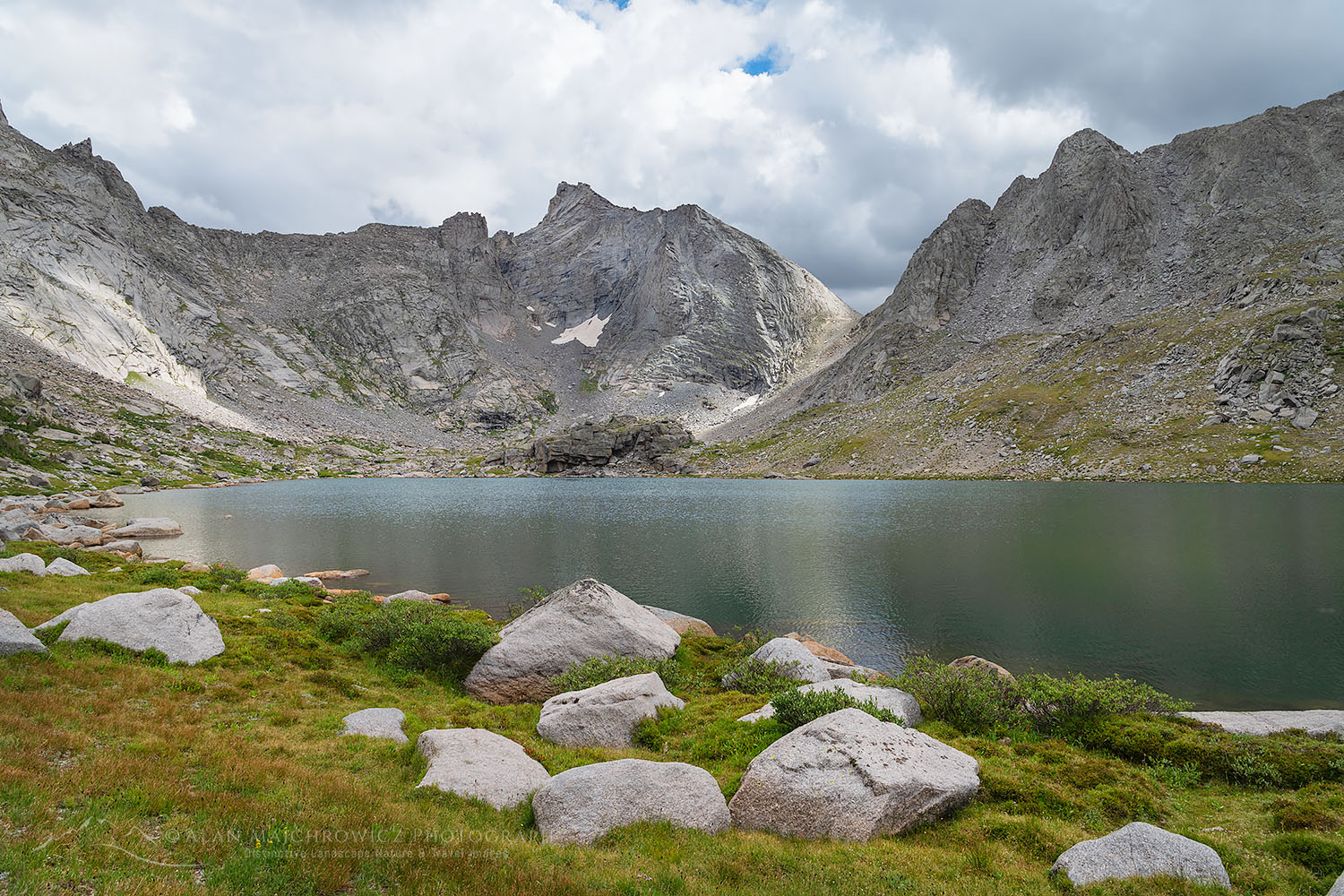
Shadow Lake and view of the backside of Cirque of the Towers. Bridger Wilderness. Wind River Range WyomingClearing storm at Shadow Lake Wind River Range #78077   Purchase

Shadow Lake Wind River Range

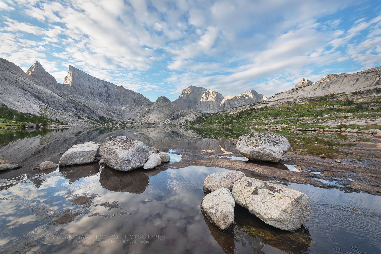
Shadow Lake is a notable destination in that it sits on the backside of the Cirque of the Towers. It’s a truly beautiful lake situated below impressive granite spires. For most backpackers, it is at the beginning or end of an exciting and scenic loop trip over Texas pass to the Cirque. For me, however, it was the actual destination.

The hike from Pyramid Lake to Shadow Lake was a breeze. It was mostly downhill for several miles to the Shadow Lake trail junction. From there it was less than 3 miles on a pleasant trail with minimal elevation gain. Once at the lake I scouted for a campsite located near the best photo opportunities. This turned out to be below the lake outlet. Nearby were some pretty pools set among boulders and grassy tussocks, perfect for creating photo compositions. Once again, all I had to do was wait for ideal lighting conditions.

Trail alongside Barren Lake, Bridger Wilderness. Wind River Range WyomingTrail along Billy Lake River Range #78104   Purchase

Barren Lake Bridger Wilderness, Wind River Range Wyoming Barren Lake Wind River Range #78097  Purchase

I ended up spending three nights at Shadow Lake. At first, I once again debated if maybe I should alter my plans. It was entirely possible to continue over Texas pass and then photograph at Cirque of the Towers. This would make for an impressive trip. However, that would leave me only one day, two at the most for photography in the Cirque, and no time at all to visit nearby Deep Lake. But the photographer in me advised that it would be more prudent to sit tight at the lake, which I did.

Patience Pays Off

On the second day at Shadow Lake, I day hiked to the upper lakes and below Texas Pass. This area was a stark and dramatic alpine landscape among granite boulders and small grassy meadows. The next morning I was tempted to move my camp the short distance to the upper lakes. A cloudless morning soon gave way to an overcast sky which was soon followed by showers. It then rained for most of the day, eliminating all thoughts of moving camp and photographing in the upper valley.

Shadow Lake and view of the backside of Cirque of the Towers. Bridger Wilderness. Wind River Range WyomingShadow Lake Wind River Range #78112   Purchase

Shadow Lake and view of the backside of Cirque of the Towers. Bridger Wilderness. Wind River Range Wyoming #78143orEvening at Shadow Lake Wind River Range #78143   Purchase

Even though I was stuck in the tent all day everything turned out for the better.  Just before sunset, the clouds began to part and some beautiful light began to illuminate the peaks. It was just the kind of condition I was waiting for and did much to reaffirm my decision to stay and be patient.

The next day I packed up and hiked back out to the trailhead, with the warm feeling of satisfaction that comes at the end of an enjoyable backpacking trip. And also that I was returning with many great photos.

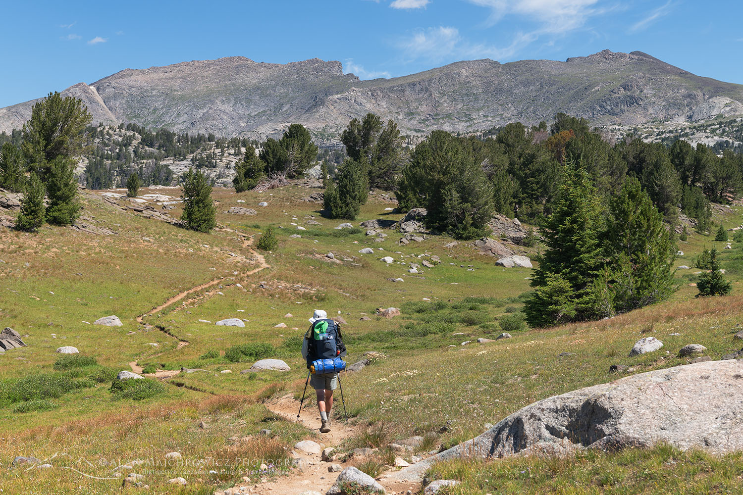
Backpacker on trail Bridger Wilderness, Wind River Range WyomingBackpacker Wind River Range #77923  Purchase

If You Go to Pyramid and Shadow Lakes:

Distance: ~34 miles round trip
Elevation: ~3500″ not including numerous elevation gains and losses
Difficulty:  Moderate
Red Tape:  As of 2022, no permits are needed
Maps: Wind River Range South; Beartooth Publishing
Guidebooks: Beyond Trails in the Wind River Mountains

The Big Sandy Trailhead is located about 56 miles south of Pinedale. The last eight miles or so can be rough and slow going but is passable for ordinary passenger cars. Adjacent to the trailhead there is a small campground, and there are also scattered sites along the last few miles of the road. Like most trailheads in the Winds, parking can be at a premium, get an early start.

Make sure you take along plenty of insect repellant. The Winds are notorious for their ravenous hordes of mosquitoes and flies. Although they weren’t too bad during my trip in early August. Also, be prepared for dramatic weather changes. Summer thunder and lightning storms are very common along the Continental Divide. Because of this stay off high ridges and summits during the afternoon.

The town of Pinedale makes a great base for multiple trips into the Winds. It has everything you’ll need, from good food and lodging to one of my favorite outdoor recreation stores, the Great Outdoor Shop. It’s stocked with everything needed for a successful trip, including a very knowledgeable and friendly staff. Don’t visit Pinedale without dropping in! Right next door to the great Outdoor Shop is the best place to go for a post-trip meal, the Wind River Brewing Company. They have excellent burgers and great brews!

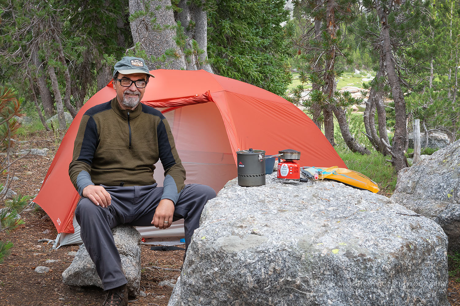
Shadow Lake Camp, Wind River RangeThe author at Shadow Lake camp

Leave No Trace

Please Please Please!  Don’t plan a trip to this or any other wilderness area unless you are prepared to follow the guidelines of Leave No Trace (LNT). The Wind River Range and all other wilderness areas throughout the world are under incredible pressure from growing amounts of visitors. Please do your part to help preserve these precious areas for future generations!

To learn more about the principles and practicing LNT please take a few minutes to visit the Leave No Trace Center for Outdoor Ethics. Your children and grandchildren will thank you!

LEAVE NO TRACE SEVEN PRINCIPLES

1. Plan Ahead and Prepare
2. Travel and Camp on Durable Surfaces
3. Dispose of Waste Properly
4. Leave What You Find
5. Minimize Campfire Impacts
6. Respect Wildlife
7. Be Considerate of Other Visitors
© Leave No Trace: www.LNT.org

Photo Gear Used On This Trip

Nikon D850
Nikkor Lens:
14-24mm 2.8G ED
24-70mm 2.8E ED
70-200mm 2.8E FL ED
Gitzo 1532 Tripod
Really Right Stuff B-55 Ball Head
B+H Polarizing Filter
Vello FWM-N2 Remote Shutter Release

If you enjoyed reading Pyramid and Shadow Lakes Wind River Range please share it with your friends and family.

Also, check out these other Wind River posts!
Cirque of the Towers Wind River Range
Central Wind River Range Backpacking
Bonneville Lakes Wind River Range
Island Lake Wind River Range
Titcomb Basin Wind River Range
Indian Basin Wind River Range
Green River Lakes Wind River Range

All photos appearing in Pyramid and Shadow Lakes Wind River Range are available for Commercial Licensing and Fine Art Prints. Click on any image to purchase, or contact me for more info!

Pyramid and Shadow Lakes Wind River Range

Squaretop Mountain Wind River Range Wyoming

Rocky Mountains Photography Tour

Rocky Mountains Photography Tour

Backpacker on Titcomb Basin Trail Wind River Range Rocky Mountains WyomingBackpacking Wind River Range #66803

Update 8/162021: Due to wildfires and heavy smoke and haze, this trip has been delayed.

This summer’s Rocky Mountains Photography Tour will start on July 9. I was once again hoping to head north to Alaska and the Yukon Territory. But since it looks like the border won’t be open in time, it is on to Plan B. So this year I’ll be revisiting some locations from 2019 and 2020.

These locations will mainly the Boulder-White Clouds Wilderness in Idaho, and the Wind River Range of Wyoming. I’m also planning a lengthy backpacking trip to the Chinese Wall in the Bob Marshall Wilderness of Montana. That location was on my itinerary last year but I swapped it out for Glacier National Park instead.

White Clouds Wilderness Rocky Mountains IdahoBoulder White-Clouds Wilderness  #68945  Purchase

Boulder-White Clouds Wilderness Idaho

On last summer’s visit to the White-Clouds I was only able to visit the north section. This year I’ll be backpacking in to the south half to photograph the Boulder Chain Lakes Basin and the some of the highest peaks in the wilderness. This area is also part of the popular White Clouds Wilderness Loop. For my purposes though I will be doing an out and back trip instead of the loop. I’ll also have plenty of time budgeted for layovers at the best locations along the route.

Squaretop Mountain Wind River Range WyomingSquaretop Mountain Wind River Range #66997 Purchase

Wind River Range Wyoming

Ah, what can I say about the Winds? This will be my seventh trip there and I still can’t get enough of this spectacular mountain range. It’s a backpackers’ dream. Thousands of lakes, 40 peaks over 13,000′, miles and miles of trails in the subalpine along the Continental Divide, plus easy cross country travel to boot!

This year my plans will include parts of the Hailey Pass-Washakie Pass Loop, Desolation Valley, and Baptiste Lake. Also on the itinerary will be a return to Cirque of the Towers and Deep Lake. I’ll also be returning to the Green Lakes area for more new photos of the Green River and Squaretop Mountain.

Castle Reef Mountain Sun Canyon Rocky Mountains MontanaCastle Reef Mountain Montana  #68136  Purchase

Bob Marshall Wilderness Montana

Known among locals and avid backpackers as “The Bob”, this wilderness destination in the northern Rocky Mountains has been on my must photograph list for decades. The Bob Marshall Wilderness Complex is a huge swath of land straddling both sides of the Continental Divide. An important part of the Greater Yellowstone Ecosystem it is home to the largest intact population of Grizzlies in the lower 48.

Last year It was on my itinerary but I took a pass due to an unusual opportunity to obtain backcountry permits in Glacier National Park. The destination on this trip will be a multi-day backpack to the famous Chinese Wall. This is arguably the signature feature of the Bob Marshall Wilderness, a 12 mile long 1000′ high limestone escarpment on the Continental Divide.

U.S. Highway 93 Lost River Range IdahoU.S. 93 Idaho #68984  Purchase

A Flexible Itinerary

For an ambitious trip like this several caveats need to be mentioned. First of all if it becomes clear the Canada border will open before the end of July it will be back to Plan A, as in A for Alaska.

Secondly, as with all of my trips that include multiple long backpacking excursions, some locations may be modified due to weather or time constraints. There are already indications of a major wildfire season in the making, so smoky conditions or closed off areas may change my plans.

Finally, if you are in any of these areas in July or August and would like to meet up in the wilderness, or in town for a coffee or beer, feel free to contact me!

If you enjoyed reading Rocky Mountains Photography Tour please share it with your friends, colleagues and family.

Photos appearing in Rocky Mountains Photography Tour are available for Commercial Licensing and Fine Art Prints. Click on any image to purchase, or contact me for more info!

Rocky Mountains Photography Tour

Pronghorn and Dragon Head Peaks reflected in pond near Lee Lake, Bridger Wilderness. Wind River Range, Wyoming

Central Wind River Range Backpacking

Central Wind River Range Backpacking

Pronghorn and Dragon Head Peaks reflected in pond near Lee Lake, Bridger Wilderness. Wind River Range, WyomingPronghorn and Dragon Head Peaks Central Wind River Range  #69141  Purchase

The Wind River Range of Wyoming is a spectacular section of the Rocky Mountains. It contains 40 peaks over 13,000 feet, the largest glacier in the American Rockies, and over 1300 named lakes. All are spread over three wilderness areas.  While not as well known as other destinations such as Grand Teton and Glacier National Parks, the range nonetheless attracts an increasing amount of backpackers, climbers, hunters, and fishermen.

While popular destinations in the Winds like Cirque of the Towers, Island Lake,  and Titcomb Basin see the bulk of the crowds, much of the Winds remain nearly deserted. An extensive network of trails gives access to nearly every corner of the range, and off-trail travel is relatively straightforward. All of this offers outdoor enthusiasts a lifetime of wilderness adventures.

Island Lake and Fremont Peak, Bridger Wilderness, Wind River Range WyomingIsland Lake Wind River Range #66386  Purchase

My first visit to the Winds was in 2002, and I’ve been coming back for more ever since. Being a landscape photographer I was naturally drawn to Titcomb Basin and Cirque of the Towers on initial trips. But over time I became aware of other hidden gems in the range. Soon my list of destinations grew long with several spots rising to the top.

Last summer I returned to the Winds to check out a new area, Lee Lake and Pronghorn Peak. Both are located in the upper valley of the Middle Fork of Boulder Creek. This location, in the Central Wind Rivers, was on my list the previous summer but was nixed in favor of another location. When doing location research over the years one peak’s stunning profile stood out. This was Pronghorn Peak. Rising to 12,388′ it and the surrounding terrain has a look similar to mountains in Patagonia, or Canada’s Baffin Island.

Mount Bonneville and Raid Peak seen from Scab Creek Trail Central Wind River Range  #69072  Purchase

Backpacking into the Central Wind River Range

The Middle Fork Lake Valley is about 20 miles from the nearest trailhead at Scab Creek. This together with the variety of photographic subject matter necessitated a longer multi-day trip. To allow enough time at key locations I had a budget of 9 nine days. This would give enough flexibility to stay longer in promising spots.

Stormy Sunset Wind River Range  #69049  Purchase

Arriving at the Scab Creek Trailhead the afternoon before starting I sorted through and packed all my gear. Towards evening some brief showers passed through making me think there may be some great evening light in the making. So I drove a short way back down the road to a viewpoint to scout a good spot. It didn’t take long to see my instincts were right. Several storm cells were in the area with plenty of room in between them for the setting sun to break through. The resulting light show kept me on my toes for quite some time.

The next morning my trip began early with the destination for the day 10 miles away at Dream Lake. Accessing the high peaks along the Continental Divide in Central Wind generally requires a long approach. A high-rolling landscape with numerous lakes characterizes this area, and it’s usually on the second day before the high peaks are reached. So the first day was a long uneventful march with a cool dip in Dream Lake awaiting at the end.

Nylon Peak and Pronghorn Peak reflected in pond near Lee Lake Nylon and Pronghorn Peaks Wind River Range  #69083  Purchase

Middle Fork Lake/ Lee Lake Central Wind River Range

On day two the trail begins to approach the real mountains. After a gradual climb and skirting a few more lakes, the trail ends at a small pass overlooking the Middle Fork Valley. This is where I finally had my first tantalizing view of Lee Lake and the surrounding granite spires. From here on it was all trail-less cross-country travel over wide-open terrain. This is the kind of travel most backpackers dream of.

After making my way down from the pass I began to look for a good campsite close to good photo compositions. Just short of Lee Lake were some small photogenic ponds, with a decent campsite close by. With these in the foreground, the imposing summits of Nylon Peak, Pronghorn Peak, and Dragons Head made for a dramatic scene. All I needed was some good light.

Pronghorn and Dragon Head Peaks reflected in pond near Lee Lake, Bridger Wilderness. Wind River Range, WyomingPronghorn and Dragon Head Peaks Central Wind River Range  #691371  Purchase

The Winds are notorious for afternoon thunderstorms followed by evening clearing, which I experienced firsthand. There were rain showers that afternoon and several hours of constant hail and thunder the next day. During the three days I spent at that camp there was a few instances of decent light, but not as dramatic as I was hoping for.

Pronghorn Peak and Lake Donna. Bridger Wilderness, Wind River Range WyomingPronghorn Peak and Lake Donna #69194  Purchase

Pronghorn Peak Central Wind River Range

Moving up to a higher camp directly across from Pronghorn entailed some tiring bushwhacking through thick brush. From a campsite at 11,000′ directly below Nylon Peak, I was able to spend a day exploring and scouting out photo compositions. From one pass I was able to gaze out to Bonneville Peak and down into Bonneville Lakes, which was one of my destinations from the previous summer.

Lake Donna Bridger Wilderness, Wind River Range WyomingLake Donna Wind River Range  #69193  Purchase

Following a moraine down from the pass to Lake Donna I found the compositions I was looking for. The dramatic vertical split spires of Pronghorn Peak began right at the shore of the lake. A large boulder field at the outlet framed the scene perfectly. Again, good light would be the key to great photos. And since you never know if you’ll get another chance I made several photos on the spot.

My plan was to return before dawn the next morning but the sky was empty of the dawn clouds I was hoping for. Although I was ready and waiting the light never came. Nylon Peak cast a predictable harsh shadow across Pronghorn instead. All I could do was watch that shadow slowly move down as the sun rose higher against an empty blue sky.

Pronghorn Peak and Lake Donna. Bridger Wilderness, Wind River Range WyomingPronghorn Peak and Lake Donna #69198  Purchase

My few photos from the evening before were the best opportunities for that particular composition. It was disappointing, but thinking positively there was another future excuse to return to this stunning location.

Nylon Peak Noel Lake. Bridger Wilderness, Wind River Range WyomingNylon Peak Wind River Range  #69254  Purchase

Noel Lake and the Continental Divide

By now I’ve already been in the area for four days with only one more day left before needing to head out. The last destination to visit was Noel Lake, a lonely body of water sitting right on the Continental Divide below the eastern face of Nylon Peak.

If you are in the area or passing through on the Wind River High Route it would be a shame to not check it out. For me, it was a short hike, only about one mile further and 500′ higher. Despite the close proximity, it was slow going. Most of the route is across a seemingly endless boulder field. Once at the lake, which is 11’500′ up on the Divide, the goal is to find a campsite. The entire vicinity around the lake is more boulders. The few places big enough for a tent are on an inconvenient slope. However, a bit of scouting came up with possibly the only suitable open and level spot.

Nylon Peak Noel Lake. Bridger Wilderness, Wind River Range WyomingNylon Peak and Noel Lake Wind River Range  #69254  Purchase

Several yards from camp is the actual Divide, with a tiny pass bearing the name Col De St. Michaels. The view southeast to Lander Peak and its glaciers is spectacular, as is the view northeast to Roberts Mountain and moraine lake far below. Rock cliffs and water in every direction.

At Noel Lake I was facing the usual prospect of having some great photos lined up, only to wait and hope for good light. Unfortunately, except for some mid-day clouds, my envisioned photos of Noel Lake and Nylon Peak didn’t appear. However, there was some very nice light at sunset looking down and over the Middle Fork Valley.

Sunset over Middle Fork Basin seen from Noel Lake on the continental Divide. Bridger Wilderness, Wind River Range WyomingSunset from Noel Lake Wind River Range #69259  Purchase

Hiking out of the Central Wind River Range

From the Middle Fork Valley, there are some outstanding alternative return routes. Some of them involve negotiating passes in other valleys, while others take little-used trails across the benchland. I chose to return on the same trails I came in on, with one last camp again at Dream Lake.

Aside from the first few miles on the first day I came across very few other parties. So if you’re looking for backcountry solitude this is a good place to find it. I came across quite a few parties starting out in the last five miles, about half of them were horse-packing. The easy way to explore in the Winds.

I should also mention that of all the people I encountered I was probably the only one without a fishing pole. Most of those 1300 lakes have fish in them, and many rarely see a line dropped in. I’m not a fisherman but I can imagine there are some trophy fish out there just waiting to give an angler a thrill.

Boulder River Bridger Wilderness Wind River Range Wyoming Central Wind River RangeBoulder River Central Wind River Range #69349  Purchase

If You Go to Middle Fork and Lee Lake

Distance from Scab Creek Trailhead to Lee Lake:  15 miles
Elevation:  ~3200 gain from trailhead to Lee Lake
add another 1000′ and 3 miles for Lake Donna and Noel Lake
Difficulty:  Moderate-Difficult
Red Tape:  As of 2020, no permits are needed

Totals for my nine-day trip including side trips and photo scouting
Distance: ~38 miles
Elevation: ~4200″ not including numerous elevation gains and losses

The Scab Creek Trailhead is located 28 miles south of Pinedale. The last six miles are on a good gravel road. Adjacent to the trailhead there is a small campground. Like most trailheads in the Winds, parking can be at a premium, get an early start.

Make sure you take along plenty of insect repellant. The Winds are notorious for their ravenous hordes of mosquitoes and flies. Although they weren’t too bad during my trip in early August. Also, be prepared for dramatic weather changes. Summer thunder and lightning storms are very common along the Continental Divide. Because of this stay off high ridges and summits during this time of day.

The town of Pinedale makes a great base for multiple trips into the Winds. It has everything you’ll need, from good food and lodging to one of my favorite outdoor recreation stores, the Great Outdoor Shop. It’s stocked with everything needed for a successful trip, including a very knowledgeable and friendly staff. Don’t visit Pinedale without dropping in! Right next door to the great Outdoor Shop is the best place to go for a post-trip meal, the Wind River Brewing Company. They have excellent burgers and great brews!

Stormy sunset from Scab Creek Trailhead. Bridger-Teton National Forest Sublette County, WyomingStormy Sunset Wind River Range  #69042  Purchase

Leave No Trace

Please Please Please!  Don’t plan a trip to this or any other wilderness area unless you are prepared to strictly follow the guidelines of Leave No Trace (LNT). The Wind River Range and all other wilderness areas throughout the world are under incredible pressure from growing amounts of visitors. Please do your part to help preserve these precious areas for future generations!

To learn more about the principles and practicing LNT please take a few minutes to visit the Leave No Trace Center for Outdoor Ethics. Your children and grandchildren will thank you!

Seven Leave No Trace Principles

  • Plan ahead and prepare.                                       
  • Travel and camp on durable surfaces.                 
  • Dispose of waste properly.                                                                         
  • Leave what you find.                                            
  • Minimize campfire impacts (be careful with fire).
  • Respect wildlife.  
  • Be considerate of other visitors.

Photo Gear Used On This Trip

Nikon D850
Nikkor Lens:
14-24mm 2.8G ED
24-70mm 2.8E ED
70-200mm 2.8E FL ED
Gitzo 1532 Tripod
Really Right Stuff B-55 Ball Head
Assorted Lee Graduated Neutral Density Filters
B+H Polarizing Filter
Vello FWM-N2 Remote Shutter Release

Backcountry camp below Pronghorn Peak. Bridger Wilderness. Wind River Range, Wyoming Central Wind River RangePronghorn Peak Camp Wind River Range  #69170  Purchase

If you enjoyed reading Central Wind River Range Backpacking please share it with your friends and family.

And check out these other Wind River posts!
Cirque of the Towers Wind River Range
Bonneville Lakes Wind River Range
Island Lake Wind River Range
Titcomb Basin Wind River Range
Indian Basin Wind River Range
Green River Lakes Wind River Range
Pyramid and Shadow Lakes Wind River Range

All photos appearing in Central Wind River Range Backpacking are available for Commercial Licensing and Fine Art Prints. Click on any image to purchase, or contact me for more info!

Central Wind River Range Backpacking

Boulder Pass wildflowers Glacier National Park

New Images: Montana and Wyoming

New Images: Montana and Wyoming

Boulder Pass wildflowers Glacier National Park New Images: Montana and WyomingBoulder Pass Glacier National Park  #69886  Purchase

I’m happy to announce that the next group of new images from my recent summer trip is now online! This group represents the second half of the trip which includes some of the most scenic locations in Montana, and Wyoming.

Especially noteworthy are backcountry photos of Boulder Pass made during my visit to Glacier National Park. This was my first visit to this remote area, and it was also my first backpacking trip in Glacier in many years. This was certainly one of the highlights of the entire summer trip. Also, after many years I was finally able to return to Beartooth Pass and the Missouri River Breaks for new images.

Locations Included

  • Grand Teton National Park
  • Yellowstone National Park
  • Glacier National Park
  • Beartooth Highway/Beartooth Pass
  • Upper Missouri River Breaks National Monument

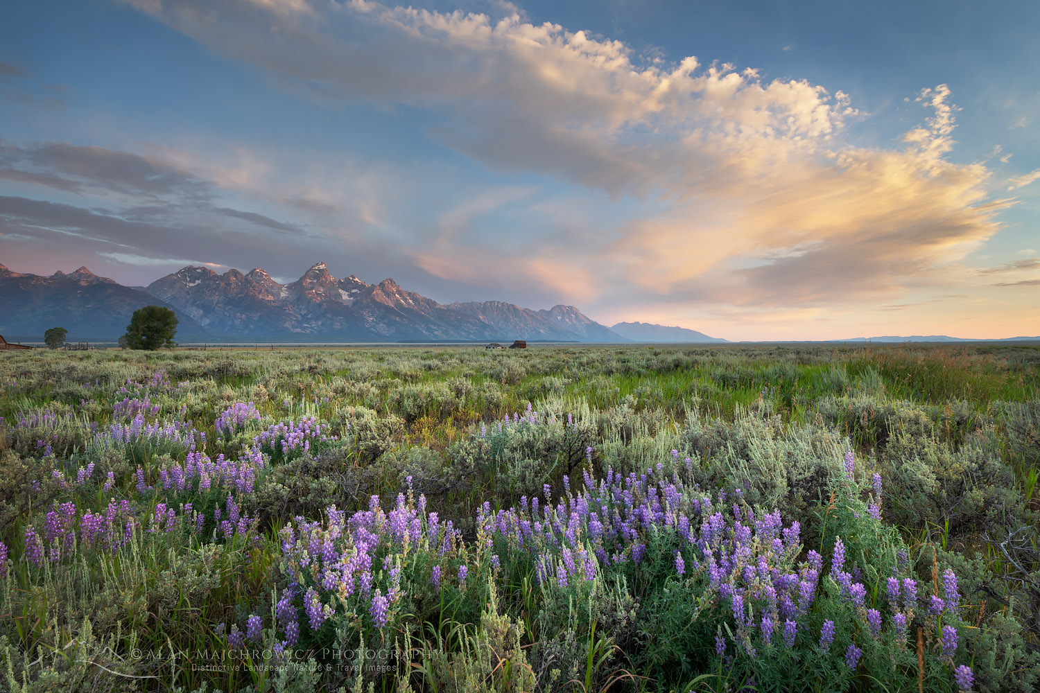
Antelope Flats lupines and sagebrush. Grand Teton National Park New Images: Montana and WyomingGrand Teton National Park  #69380  Purchase

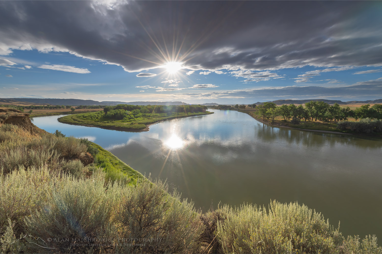
Judith Landing, Upper Missouri Breaks National MonumentUpper Missouri River Breaks Montana  #69674  Purchase

To see even more new images please visit my Archives at the following links: Montana Washington, Oregon, Idaho, Wyoming. In addition you can also Search the Archives by location and or keywords.

In the coming weeks I’ll also be writing multiple posts detailing all the locations. Additionally, these future posts will include location specific photography tips.

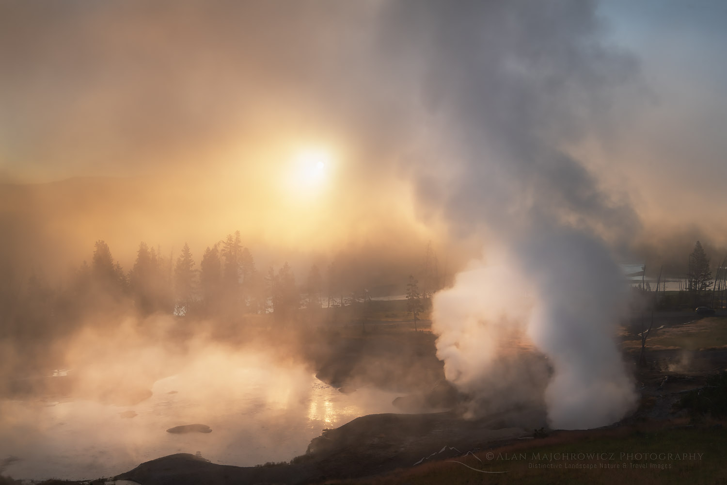
Mud Volcano Yellowstone National ParkMud Volcano Yellowstone National Park  #69421  Purchase

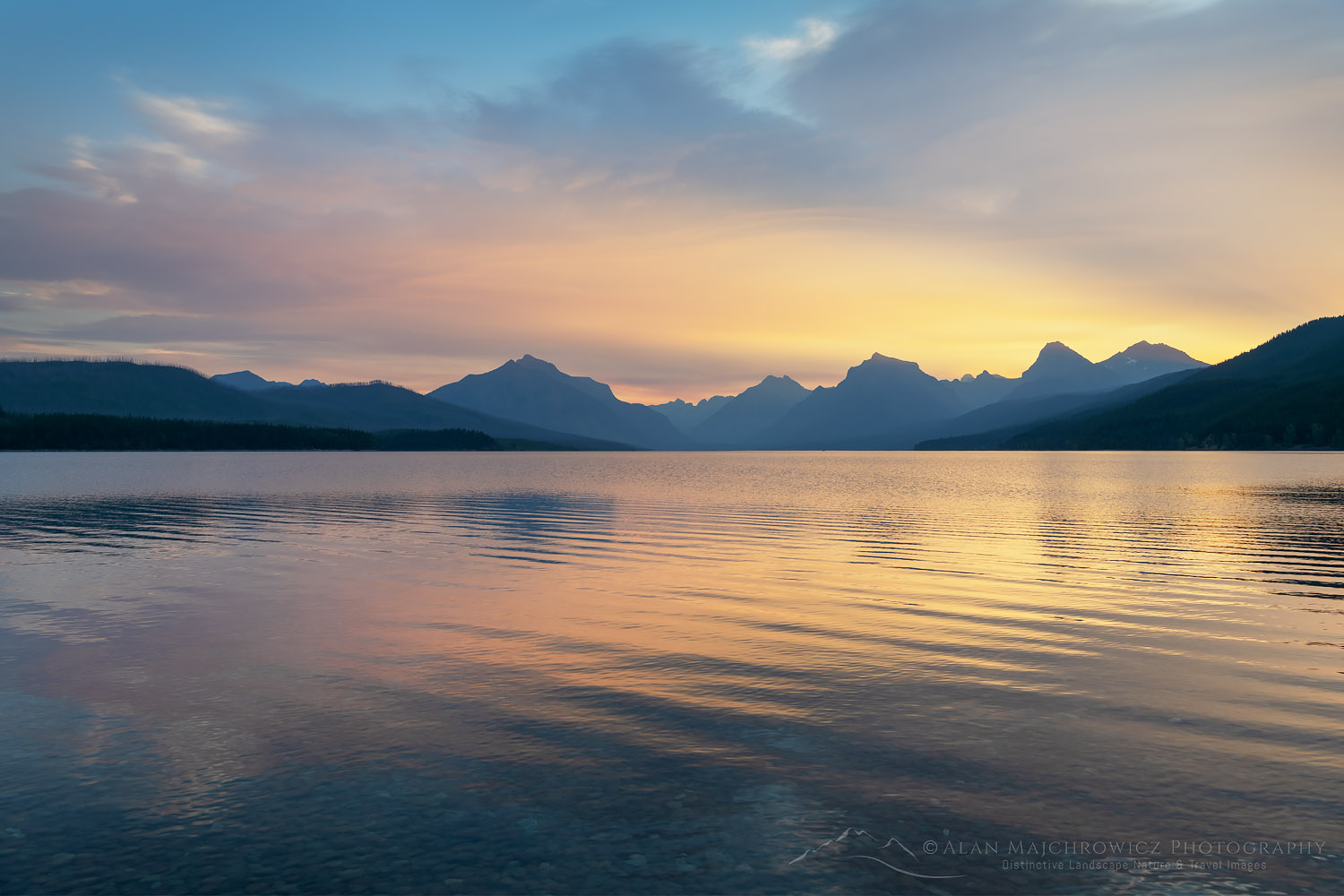
Lake McDonald Glacier National ParkLake McDonald Sunrise Glacier National Park  #70125  Purchase

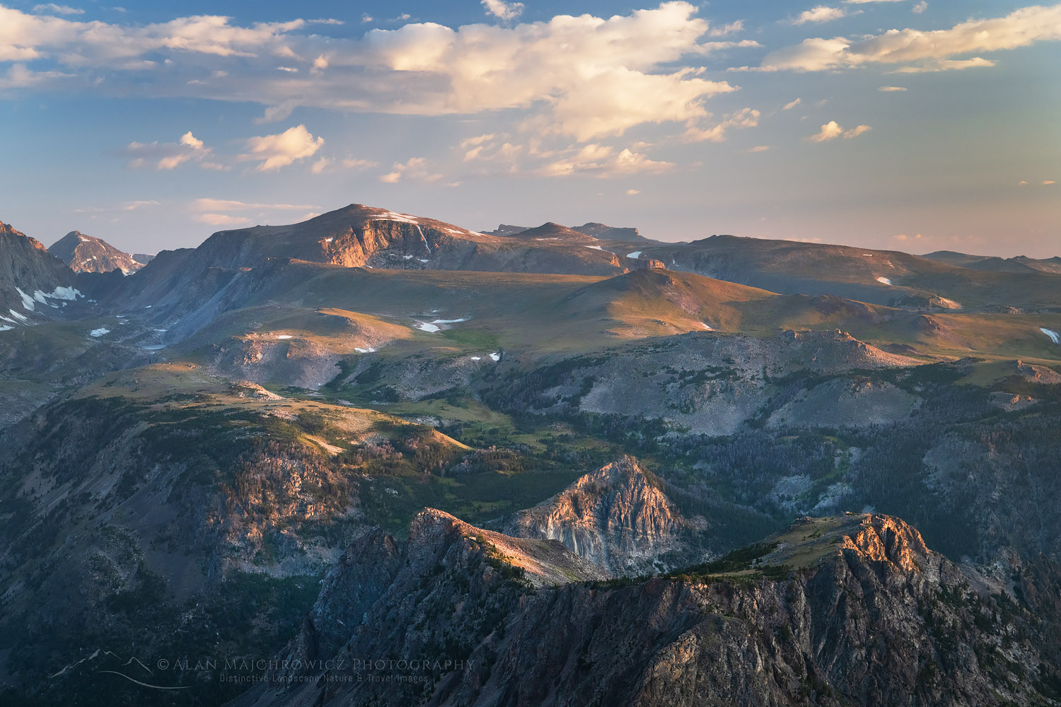
Beartooth Mountains seen from Beartooth Pass, Custer Gallatin National Forest MontanaBeartooth Mountains  #69605  Purchase

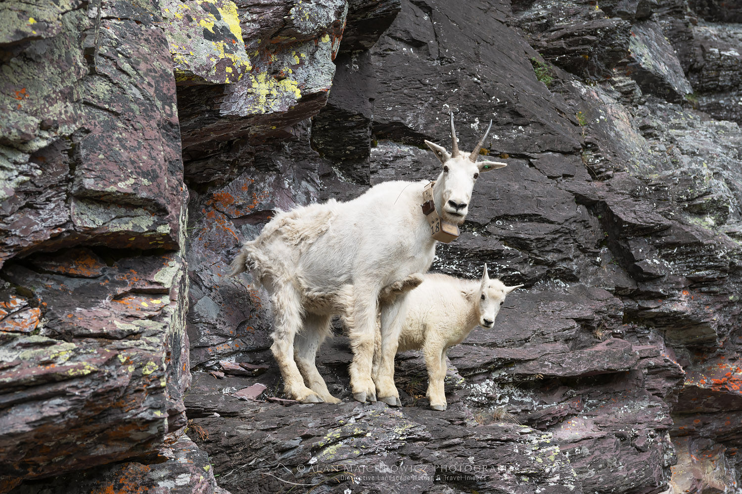
Mountain Goats Glacier National ParkMountain Goats Glacier National Park  #69791  Purchase

All photos appearing in New Images: Montana and Wyoming are available for Commercial Licensing and Fine Art Prints.

Want to learn more about Landscape & Nature Photography? Take your Creative Photography to the next level with  Private Instruction and Guided Photo Tours.

Stormy sunset from Scab Creek Trailhead. Bridger-Teton National Forest Sublette County, Wyoming

New Images: Washington Oregon Idaho Wyoming

New Images: Washington Oregon Idaho Wyoming

Stormy sunset from Scab Creek Trailhead. Bridger-Teton National Forest Sublette County, Wyoming New Images: Washington Oregon Idaho WyomingStormy Sunset from foothills of Wind River Range  #69049  Purchase

I’m happy to announce that the first group of new images from my recent summer trip is now online! This group represents the first half of the trip which includes locations in Washington, Oregon, Idaho, and Wyoming. Also included in the gallery are some floral photos, along with images from the recent Oregon Coast Trip.

Locations Included

  • Palouse Region Washington
  • Eagle Cap Wilderness, Wallowa Mountains Oregon
  • Cecil D. Andrus-White Clouds Wilderness Idaho
  • Snake River Plains Wheat Fields SE Idaho
  • Bridger Wilderness, Wind River Range Wyoming

Palouse Washington New Images: Washington Oregon Idaho WyomingPalouse Washington  #68703  Purchase

Aside from the photos from the Palouse Region of Washington all of the new images are from locations I’ve never visited or photographed in before. Although I’ve been to the Wind River Range of Wyoming many times this was my first trip to Upper Middle Fork Basin.

To see all the new images please visit my Archives at the following links: Washington, Oregon, Idaho, and Wyoming. Of course, you can also Search the Archives by location and or keywords.

Eagle Cap and Mirror Lake Eagle Cap Wilderness OregonEagle Cap Wilderness Oregon  #68776  Purchase

White Clouds Wilderness IdahoWhite Clouds Wilderness Idaho  #68945  Purchase

Pronghorn Peak and Lake Donna. Bridger Wilderness, Wind River Range WyomingPronghorn Peak Wind River Range  #694198  Purchase

New Images Coming Up Next

The next group of new images from the second half of the trip will be coming soon. Locations in that set will include photos from the following locations:

  • Grand Teton National Park
  • Yellowstone National Park
  • Beartooth Pass/Highway
  • Upper Missouri River Breaks Montana
  • Glacier National Park

In the coming weeks I’ll also be writing multiple post detailing all the locations.

All photos appearing in New Images: Washington Oregon Idaho Wyoming are available for Commercial Licensing and Fine Art Prints.

Want to learn more about Landscape & Nature Photography? Take your Creative Photography to the next level with  Private Instruction and Guided Photo Tours.

Wind River Range Sunset, Wyoming

Summer Photo Tour 2020 Update

Summer Photo Tour 2020 Update

Lake McDonald Glacier National ParkLake McDonald Glacier National Park #69745  Purchase

Final On The Road Update 8/19/2020:

This brief addition will be my final on the road update of the summer photo tour. I’m still in Glacier National Park and since my last post I’ve witnessed a sunrise marriage proposal on Lake McDonald, completed a 40 mile 6 day backpacking photo shoot, and seen seven grizzly bears in the backcountry, on one occasion only about 25′ away from me. So yes, it’s been a busy adventurous visit!

By this time next week I should be back home in the office. For many weeks to come I’ll be there catching up on business and processing all the new images. During that time I’ll be posting groups of new images to the website and updates on the blog. 

Original Post:

Wind River Range Sunset, WyomingWyoming Sunset #69046  Purchase

Sitting right now just outside of Glacier National Park it seems time to post another Summer Photo Tour 2020 Update. Since my last post I’ve visited and photographed lots of new and old locations. And once again although Grand Teton and Yellowstone weren’t on my list, necessity had me briefly drive through both parks. And once again I’m glad I did, because I added several wonderful new images to my files from them!

Grand Teton National ParkGrand Teton National Park #69391  Purchase

Sunrise at Mud Volcano geothermal area, Yellowstone National ParkYellowstone National Park #69428  Purchase

Since my last post I’ve added lots of exciting new images from the following locations:

  • Bridger Wilderness, Wind River Range Wyoming, Middle Fork/Lee Lake vicinity
  • Grand Teton National Park
  • Yellowstone National Park
  • Beartooth Pass/Highway Wyoming
  • Upper Missouri River Breaks Montana
  • Glacier National Park: Comeau Pass/Sperry Chalet; Lake McDonald, Kintla Lake/Boulder Pass/Hole In The Wall

Lee Lake, Bridger Wilderness, Wind River Range WyomingLee Lake Wind River Range Wyoming #69085  Purchase

Pronghorn Peak Lake Donna, Bridger Wilderness, Wind River Range WyomingPronghorn Peak Wind River Range Wyoming #69202  Purchase

There was one major change to the Summer Photo Tour 2020 itinerary. This was a decision to take a pass on the Chinese Wall in the Bob Marshall Wilderness of Montana. Instead I’m opting to spend the remainder of the trip backpacking in Glacier National Park. Although I’ve visited and photographed in Glacier many times over the years this will be my first major backpacking trip there since I was a teenager.

Beartooth Lake WyomingBeartooth Lake Wyoming #69516  Purchase

Beartooth Mountains seen from Beartooth Pass, WyomingBeartooth Mountains Wyoming #69614  Purchase

Appearing in this post are some of the photo highlights. These photos are quick on the road edit and processing with the final image to come later when I’m back in the office. Image licensing and fine art prints are available for all of them, but print orders may be delayed several weeks.

Missouri River Breaks near Judith Landing, MontanaUpper Missouri River Breaks Montana #69672  Purchase

Missouri River Breaks near Judith Landing, MontanaUpper Missouri River Breaks Montana #69684  Purchase

All photos appearing in Summer Photo Tour 2020 Update are available for Commercial Licensing and Fine Art Prints*.

*Print orders may be delayed several weeks until I return to the office.

Want to learn more about Landscape & Nature Photography? Take your Creative Photography to the next level with  Private Instruction and Guided Photo Tours.


Castle Reef Mountain Sun Canyon Montana

Photography Tour Summer 2020

Photography Tour Summer 2020

Castle Reef Mountain Sun Canyon Montana Photography Tour Summer 2020Castle Reef Mountain Montana #68136  Purchase

Photography Tour Summer 2020 begins on July 7! For obvious reasons it has been extremely difficult this year to plan photo shoots, and I’m incredibly excited to get back to work on the road and trail. Many locations I was hoping to photograph remain closed or have difficult travel restrictions in place. With this in mind, I decided to once again make this year’s photography tour based on wilderness backpacking. Not only is it a method of photography I thoroughly enjoy, but in the current climate, it is also safer.

As with the 2019 photography tour, this year will include some new destinations I haven’t yet photographed, along with old favorites where I need more in-depth coverage. In some ways, this trip will be a continuation of last year’s. Most locations will be in the Northern Rocky Mountains and will include some that I couldn’t get to last year.

Red Barn Wallowa Valley Oregon Photography Tour Summer 2020Wallowa Valley, Oregon #61145  Purchase

Eagle Cap Wilderness Oregon

The first stop will be the Eagle Cap Wilderness of Oregon’s Wallowa Mountains. This is a destination that has been on my see and photograph list for many years, but for various reasons, I’ve passed them up. On this trip, I hope to photograph many of the alpine lakes in the core loop of the range.

The Wallowas, located in the northeast corner of the state, is a unique range in Oregon. While most mountains in Oregon are made of volcanic rocks the Wallowas are mainly granitic and have a more rugged appearance. The Eagle Cap Wilderness is the largest in Oregon and is host to many alpine lakes and some of the highest peaks in the state.

Little Redfish Lake Sawtooth Mountains Idaho Photography Tour Summer 2020Little Redfish Lake, Sawtooth Mountains Idaho #66235  Purchase

White Cloud Wilderness Idaho

Last year while backpacking and photographing in the Sawtooth Mountains of Idaho I saw another range of high mountains to the East. After some research, I found out that they were peaks of the White Cloud Wilderness, part of the newly created Boulder-White Cloud Wilderness. With the other units being the Jim McClure-Jerry Peak Wilderness, and the Hemingway-Boulders Wilderness. Together they protect 275,000 acres of spectacular mountain wilderness in Central Idaho.

Rising just across the valley from the more famous and popular Sawtooth Mountains, the White Clouds also have many peaks over 10,000′ with numerous alpine lakes. However, since it is less well-known I’m expecting a greater degree of solitude. On this initial visit, I hope to visit and photograph many of the peaks and lakes in the core area.

Mount Bonneville Wind River Range WyomingBonneville Lake Wind River Range #66285  Purchase

Wind River Range Wyoming

Last year I spent considerable time photographing in the “Winds”.  However, it is a big range with enough destinations to fill a lifetime of exploration. This year I plan to visit a few new spots and return to a couple of classics. One possible backpack is Desolation Valley/Hailey Pass-Washakie Pass Loop. Another is Middle Fork Lake and Pronghorn Peak in the central part of the range. Finally, a return trip to Cirque of the Towers and Deep Lake is also on the table.

Castle Reef Mountain Sun Canyon MontanaRocky Mountain Front Range Montana #68145  Purchase

Bob Marshall Wilderness Montana

Affectionately known among locals and avid backpackers as “The Bob”, this is another wilderness destination that has been on my must-see list for decades. The Bob Marshall Wilderness Complex is a huge swath of land straddling both sides of the Continental Divide. An important part of the Greater Yellowstone Ecosystem it is home to the largest intact population of Grizzlies in the lower 48.

The Bob was one of the first areas I wanted to see when I started backpacking in my late teens. Unfortunately, it was passed over and forgotten many times over the years in favor of other destinations. This year I hope to remedy that oversight. The sole destination on this trip will be a multi-day backpack to the famous Chinese Wall and the meadows along its base. This is arguably the signature feature of the complex, a 12-mile-long 1000′ high limestone escarpment on the Continental Divide.

Bighorn Canyon National Monument MontanaBighorn Canyon Montana #52263  Purchase

Other Montana Destinations

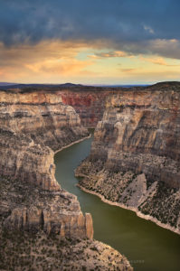
Last year, due to limited time and weather, I had to skip a few destinations in Montana. Hopefully this year I’ll get to photograph them. While this writing is not certain, Bighorn Canyon National Recreation Area, Beartooth Highway, and the Upper Missouri River Breaks are back on the list. Then of course there are also several backcountry destinations in Glacier National Park I’d like to photograph, but that’s probably going to be a stretch.

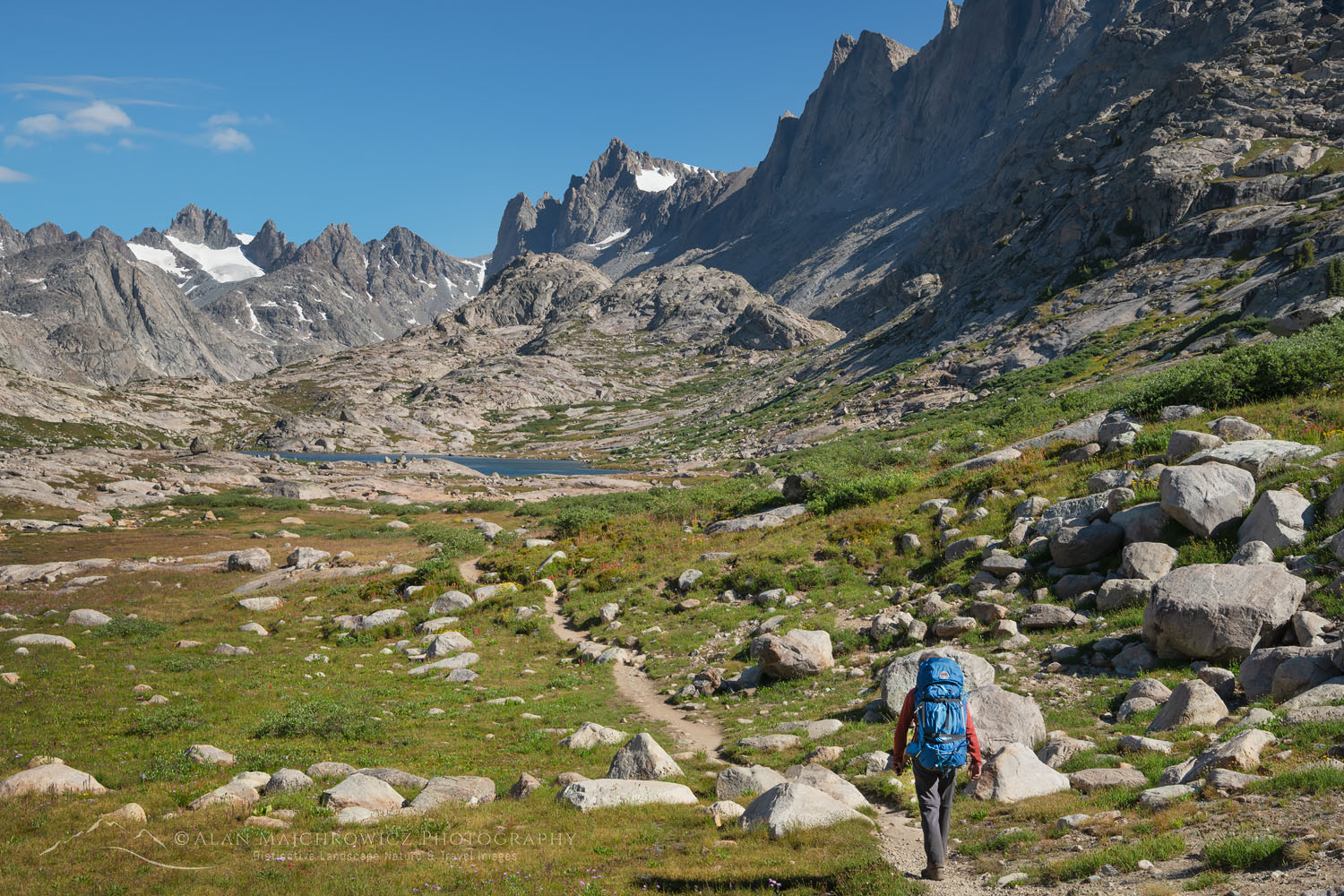
Backpacker on Titcomb Basin Trail Wind River Range WyomingWind River Range Backpacking #66780  Purchase

List of Locations:

Below is the list of the Summer 2020 Photography Tour locations in the order of start to finish. I would love to hit all of them but of course, time and weather will dictate my itinerary. If you’re planning on traveling to any of them let me know. I’d love to meet up if possible!

Eagle Cap Wilderness, Oregon
White Cloud Wilderness, Idaho
Wind River Range, Wyoming
Beartooth Highway, Wyoming/Montana
Bighorn Canyon National Recreation Area, Montana
Upper Missouri River Breaks, Montana
Bob Marshall Wilderness, Montana
Glacier National Park, Montana
*Locations subject to change due to weather and travel restrictions

All photos appearing in Photography Tour Summer 2020 are available for Commercial Licensing and Fine Art Prints

Want to learn more about Landscape & Nature Photography? Take your Creative Photography to the next level with  Private Instruction and Guided Photo Tours.

Photography Tour Summer 2020

Oxbow Bend Grand Teton National Park

Grand Teton Photography Locations

Grand Teton Photography Locations

Oxbow Bend Grand Teton National ParkOxbow Bend Grand Teton National Park #67724  Purchase

A photography trip to Grand Teton National Park can be a once-in-a-lifetime experience. It can also be one in a series of return trips to photograph the park in-depth, and in all seasons. Whichever it is for you, photographing this gem in the national park system can be a daunting challenge. This is especially true if it is your first visit to Grand Teton.

As I mentioned in my previous post, Grand Teton National Park Trip Planning, a visit to photograph this or any other national park can be a very rewarding experience. It can also be a disappointing exercise in frustration. Good planning and having enough time available to meet your photography goals increase your chances of success.

Since I’ve already outlined trip planning in my previous post, let’s start talking about locations. Grand Teton is a big park with dozens of great areas to photograph in. However, for this post, I’m going to focus only on some of the more popular front-country road accessed locations. But first.

Grand Teton in clearing stormGrand Teton in Clearing Storm #67405  Purchase

Some Essential Tips To Remember

 Essential Tip #1:   Nearly all photography locations in Grand Teton National Park are best photographed in early morning light and sunrise. Of course, this means you’ll need to accustom yourself to rising very early and setting up on location before dawn. However, most of those same locations are also great for evening and sunset photography. But in Grand Teton sunrise has the edge.

Essential Tip #2:   Scout out your desired locations ahead of time. Leisurely walk around and previsualize compositions in advance. That way when you return in the morning or evening you won’t waste precious time and light scrambling around wondering where the best compositions are.

Essential Tip #3:   Throughout this post, I reiterate the value of photographing during the morning and evening golden hours. However certain lighting conditions can make excellent photography possible during every part of the day. Just because the golden hour is over is no reason to stop photographing. Have an open mind and be creative!

Essential Tip #4:   Be ready to encounter hordes of other photographers nearly everywhere you go.  Plan to arrive and set up in your chosen spot an hour and a half to two hours early. Yes, that means for sunrise photography you’ll be there in position while the stars are still out. Dress warmly, you’ll be standing there for a while! And expect to be elbow to elbow and lock tripod legs with other photographers.

Essential Tip #5:   Be respectful of other photographers and park visitors. For many of them, this literally can be a once-in-a-lifetime trip that they scrimped and saved for. Everybody wants to get that perfect photo from the best spot. But don’t be one of those jerks that pushes and shoves their way into the front. If you arrive late that’s your fault, come back the next day, or better yet get creative and find a new composition nearby. And please be friendly. So many photographers can be reluctant to converse as if they’re going to reveal a special photo secret or technique by talking to their neighbor. Grow up, we’re all here for the same reason, have fun you may make some new friends.

Essential Tip #6:   PLEASE, PLEASE PLEASE, be respectful of the environment! All of our parks and wildlands are being loved and photographed to death. If there are signs prohibiting entry or are roped off for restoration, don’t ignore them, no matter how tempting it may be to get that photo. It also should go without saying, don’t alter the scene by cutting down branches that get in your way. If necessary retouch unwanted objects out in Photoshop. Read more about Outdoor Ethics here.

Essential Tip #7:   Wildlife such as bison, moose, and elk are abundant in Grand Teton National Park. All wildlife from bison and elk to squirrels and birds have difficult lives just trying to survive on a daily basis. Please give them a wide berth and strictly observe park regulations. Never ever, under any circumstances, for any reason, approach wildlife. They can easily be stressed and provoked into attacking. While you’re recuperating in the hospital, park officials will be busy destroying that animal. I’m sure that’s not in your trip plan.

Moulton Barn Grand Teton National ParkT.A. Moulton Barn Grand Teton National Park #67410  Purchase

Mormon Row Barns / Antelope Flats

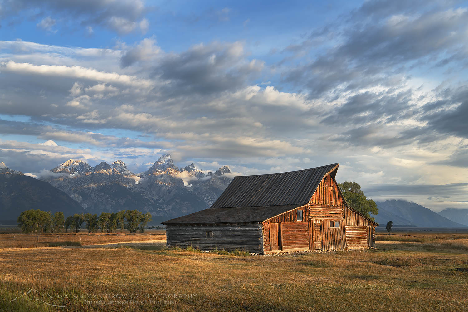
This is is one of the closest locations to the town of Jackson and offers a variety of photographic opportunities. Historic Mormon Row has several noteworthy structures, but the two iconic Moulton Barns are the biggest attractions here. Both barns are close enough that you can photograph both of them during the same golden hour session. However, if you have time available try for one and return the next day for the other. That way you can avoid rushing and finding another parking in the limited parking areas. This area also has some attractive old cottonwood trees to aid in compositions, which are especially nice in fall color.

Antelope Flats Wildflowers Grand Teton National Park WyomingAntelope Flats Wildflowers Grand Teton National Park #52085 

Antelope Flats is a great area to photograph carpets of yellow balsamroot wildflowers in spring. They make a wonderful foreground element to the dramatic snow-covered Teton Range. Some of the best displays are in the vicinity of the Gros Ventre (pronounced “Grow Vaunt”) road. Early June is the best time of the year to photograph balsamroot and lupines in the Teton Valley. Again, you’ll want to thoroughly check out the entire area the day before to find where the best displays are.

Best time of day for photography:  Morning, though excellent in the evening.
Best season for photography: Moron Row spring, summer, fall. Antelope Flats wildflowers, late May-June.

Snake River Overlook Grant Teton National ParkSnake River Overlook #67652  Purchase

Overlooks Along U.S. Highway 191/89

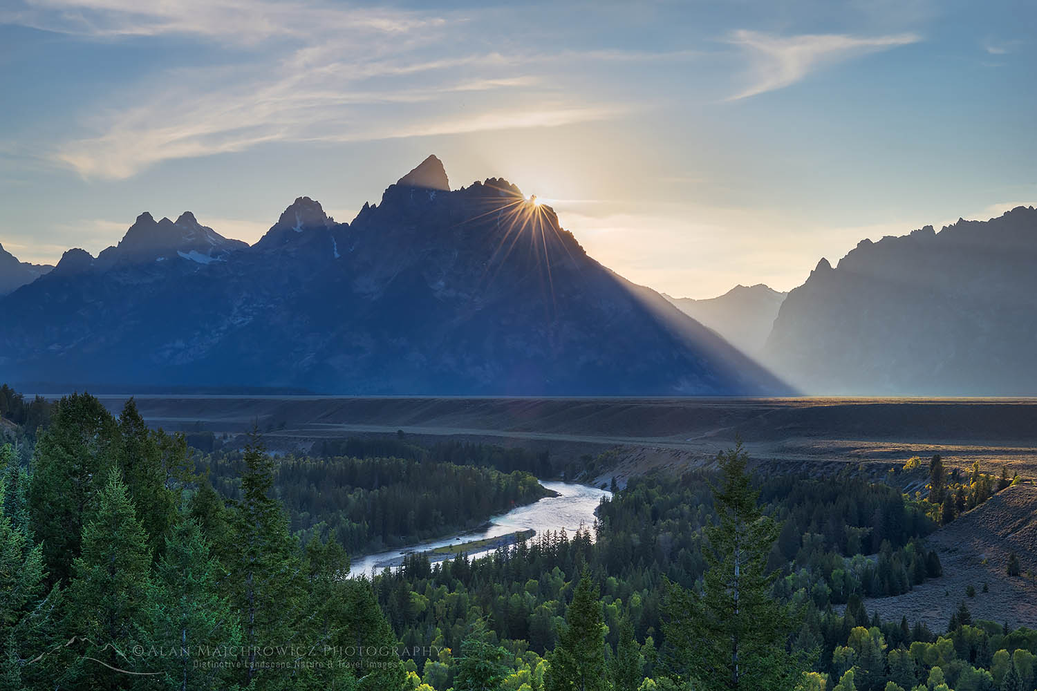
These include Blacktail Ponds Overlook, Glacier View Turnout, Teton Point Turnout, and Snake River Overlook. All, except perhaps Blacktail Ponds Overlook, have excellent wide-open views of the Teton Range. Photography at these locations doesn’t get much easier, as compositions can be made a few steps from the parking lot. As you move from Blacktail Ponds Overlook in the south to Snake River Overlook in the North the view of the Teton Range changes considerably.

Snake River overlook is the most popular since it was here that Ansel Adams made his famous 1942 photo of the Tetons. Be forewarned that over the years trees in the scene have grown considerably. Today, because of this, the Snake River is partially obscured. The view is still wonderful though.

Best time of day for photography:  Morning, though excellent in the evening.
Best season for photography: All Seasons

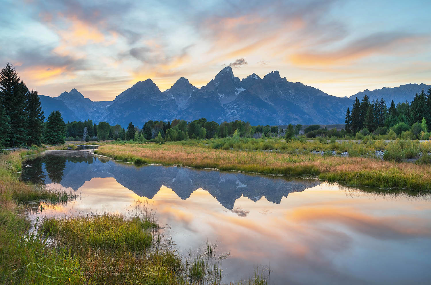
Schwabacher Landing, Grand Teton National ParkSchwabacher’s Landing Grand Teton National Park #67503  Purchase

Schwabacher’s Landing

This is one of the prime locations in the Grand Teton for photography, and one of the few accessible to the Snake River. Expects to see lots of other photographers here at sunrise.

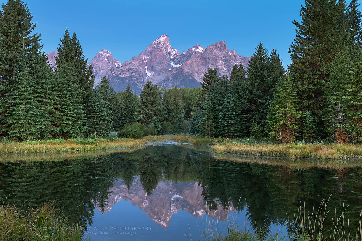
There are several excellent options here, including the iconic view of the Grand Teton framed by trees reflected in the still waters of beaver ponds. This photo is a short walk north from the parking lot at the end of the road. It’s imperative to arrive very early, as the ideal composition is within a narrow range of only about four feet wide. Be polite, your neighbor will be photographing the same scene only inches away from you.

Schwabacher Landing Grand Teton National ParkSchwabacher’s Landing Grand Teton National Park #67383  Purchase

There is also two creekside (actually branches of the Snake River) areas that provide great photo opportunities. The first is along the trail to the beaver pond viewpoint. The second,  just as interesting but less photographed, is 1/4 mile back down the road. Both of them offer compositions where the Teton Range is reflected in the calm waters. There is also an abundance of cottonwoods trees here, making fall photography an absolute must.

Schwabacher’s Landing is a location that offers so many possibilities that you can easily just photograph just here if you only have a couple of days available in the park.

Essential Tip #8:   Be aware that this entire area is in a fragile wetland environment. Please observe signs of areas closed for restoration. This is also prime moose habitat. Be alert when walking through brush, I once came across a female and her calf here. If you’ve never seen a moose in person you’ll be amazed at how big they are. Don’t get in their way!

Best time of day for photography:  Morning, and evening. Beaver ponds photo, mostly morning.
Best seasons for photography:  FallSpring, Summer. This area is closed and off-limits in winter to protect wildlife habitat.

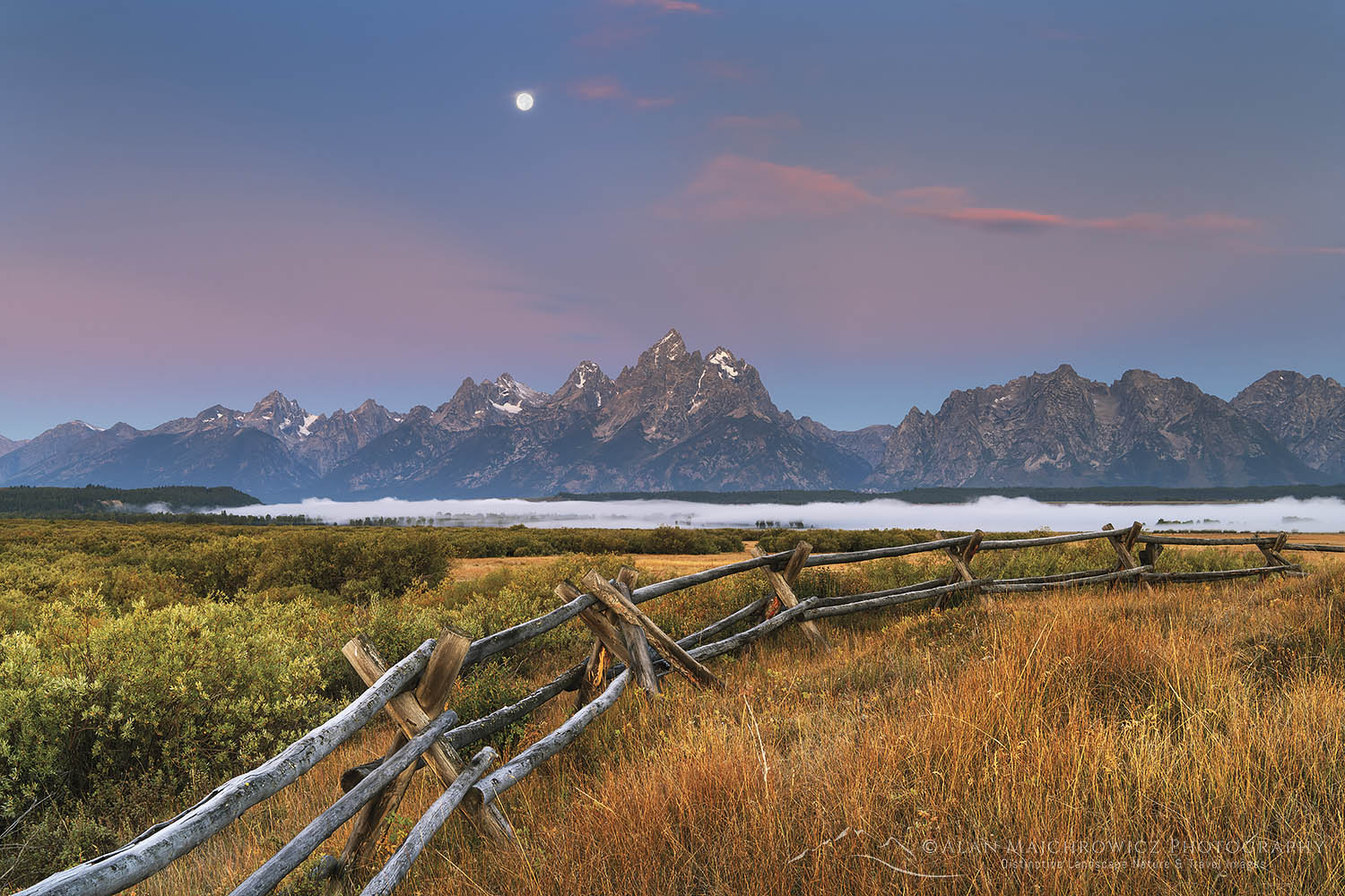
Full Moon Grand Teton National ParkTeton Range from Cunningham Ranch #67608  Purchase

Cunningham Ranch

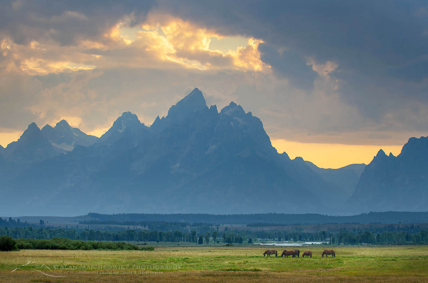
This is one of my favorite areas in the park for photography. It has excellent photographic potential but many photographers pass it over for Schwabacher’s Landing or Oxbow Bend. The views of the Teton Range here are outstanding. The western pole fencing makes a great composition element. It’s also possible to access views along the Snake River, via a long walk through pastures. Occasionally you’ll see herds of elk, or horses from the nearby Triangle X Ranch grazing here, another great aid for compositions.

Horses Grazing at Cunningham Ranch Grand Teton National ParkThe Teton Range from Cunningham Ranch #49377  Purchase

Nearby on the East side of Highway 191/89 is the North access to the Shadow Mountain Dispersed Camping Area of the Bridger-Teton National Forest. A wide parking lot just outside the park boundary is the only place in the entire valley available for winter camping.

Best time of day for photography:  Morning, and evening.
Best season for photography:  All year

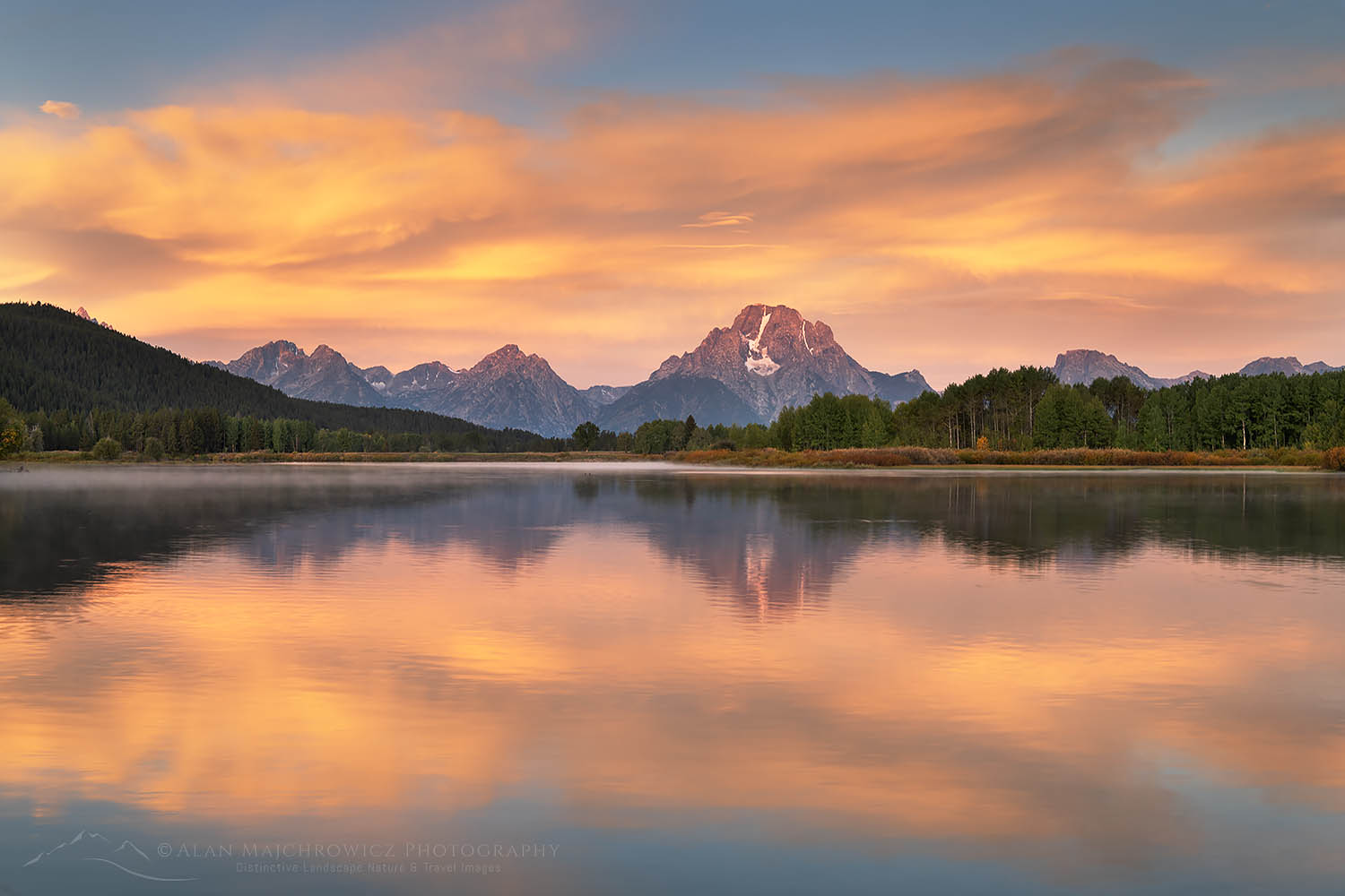
Oxbow Bend sunrise Grand Teton National ParkOxbow Bend Sunrise Grand Teton National Park #67699  Purchase

Oxbow Bend

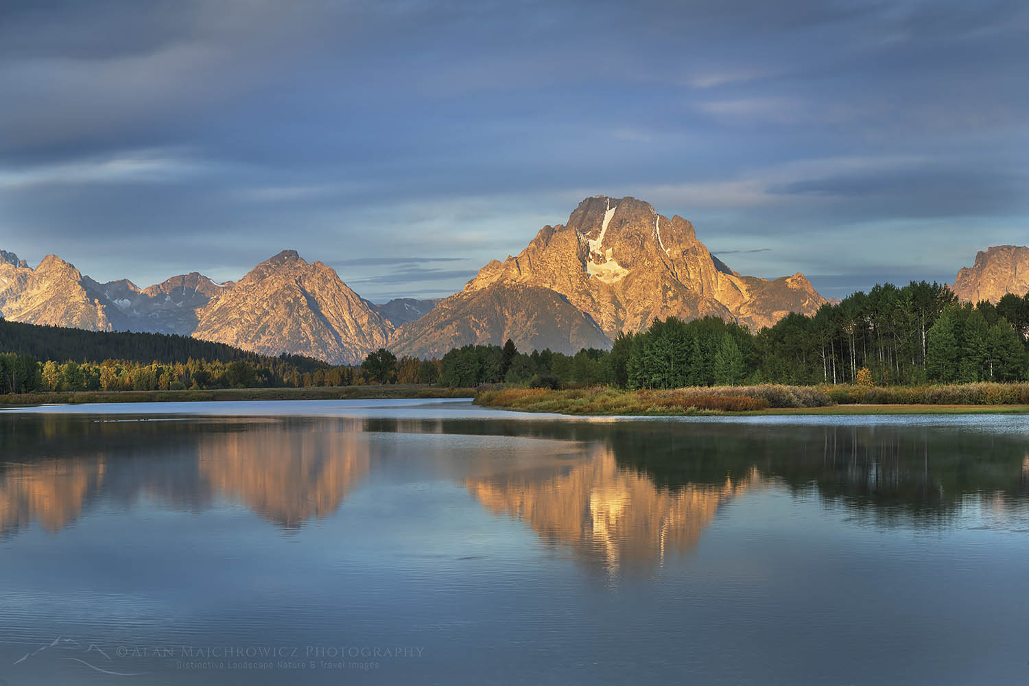
This is arguably the granddaddy of all photo locations in Grand Teton National Park. The views of Mount Moran and the Teton Range reflected in the still waters of the Snake River are recognizable throughout the world. In addition, this is a prime wildlife viewing area. You can often see Trumpeter Swans floating lazily on the water, along with moose grazing in the willows across the river. I once saw an enormous herd of elk fording the river here, a scene reminiscent of Serengeti migrations.

Oxbow Bend sunset Grand Teton National ParkOxbow Bend Sunset #67566  Purchase

You can also observe mobs of photographers, every morning and evening, every day. Don’t even think of finding a prime spot unless you get here well over an hour in advance of golden hour. Most photographers try for a spot at the parking lot edge, however, there are plenty of excellent options among the willows along the river.

Aside from the view from the river, there are also a couple of other spots well worth checking out. This is one of the best areas in the park for fall photography, mainly due to the abundance of aspens groves and willows. About a quarter-mile east of the Oxbow Bend parking lot is another pullout at the edge of large groves of aspens. During the height of fall color, these trees make spectacular frames for the Teton Range.

Grand Teton National Park WyomingTeton Range above Oxbow Bend #52069  Purchase

Also, on the benchland above Oxbow Bend, there are great views looking down to the aspens surrounding the area, and out to the Teton Range. This view is accessed from the trails on the Christian Pond Loop. If you have the time it’s well worth returning to photograph these two areas after photographing the main attraction. And of course, they’re another option if the riverside crowds are a bit too much for you.

Best time of day for photography:  Morning, and evening.
Best season for photography:  Hands down, fall is best, but excellent throughout the year. Also one of the best locations in the park for winter photography.

Wildflowers Grand Teton National Park WyomingWildflowers Grand Teton National Park #52034  Purchase

Pilgrim Creek Road

Between Jackson Lake Junction and Colter Bay Village is Pilgrim Creek Road. This approximately three-mile-long gravel road gives access to the Teton Wilderness in the Bridger-Teton National Forest. For photographers, the first mile or so of this road gives access to some of the best spring wildflowers in the North end of the park.

Unlike wildflowers around Antelope Flats, this area can be a bit more tricky to photograph. The peak bloom usually happens around early June, but a good show depends on a wet season. During a drier than normal spring, there may not be a large enough bloom to make the trip worthwhile. Also, some of the best groupings may not be obvious from the road, so make sure to park your vehicle and thoroughly scout the area on foot.

Best time of day for photography:  Morning, and evening.
Best season for photography:  Spring

Grand Teton National Park in winterWinter along Teton Park Road #3725  Purchase

Teton Park Road

This long stretch of road encompasses everything from Moose Entrance in the South to the Jackson Lake Junction in the North. Beginning in the North the Potholes and Mount Moran Turnouts offer closer photos of the Teton Range, and in particular the Cathedral Group. In June this is also a very good area for yellow balsamroot wildflowers.

The main highlights of this area are the trails along Leigh, String, and Jenny Lakes. You can park at the Leigh and String Lakes Trailhead and do the entire loop hike. Or you can park at the Jenny Lake Overlook and walk only a portion of the trail. Either way, this is the best place to get up close and personal photos of the Cathedral Group and Cascade Canyon.

Further south the Taggart Lake trail will take you to stunningly close views of the Grand Teton.

Essential Tip #9:   Leigh, String, and Jenny Lakes are best photographed at sunrise and early morning. The lake waters are more apt to be still and mirror-like at this time. Also, the proximity here to the walls of the Teton Range will put most of the areas along Teton Park Road in shade during the second part of the day.

Best time of day for photography:  Morning
Best seasons for photography:  Spring, Summer, Fall. Teton Park Road is closed in winter at Taggart Lake Trailhead in the South and Signal Mountain Lodge in the North. However, in winter this road is open to cross country skiing and snowshoeing.

Grand Teton National ParkThe Teton Range from Jackson Lake #67525  Purchase

Other Grand Teton Photography Locations

As mentioned earlier, this post covers only the more popular easily accessible locations for photography in Grand Teton National Park. There are many more opportunities to explore including these:

  • Laurence S. Rockefeller Preserve
  • Viewpoints along the North section of Jackson Lake
  • Extensive trail system along Jackson Lake starting from Colter Bay Village
  • In the backcountry, a network of trails gives access to the backside of the Teton Range and includes numerous lakes, canyons, and subalpine meadows. All overnight backcountry trips require permits.

Camera Equipment Suggestions

What camera gear should you bring on a Grand Teton photography trip? In a nutshell, everything you have. Ok, maybe not everything, especially if you’re a gear junkie with dozens of lenses and camera bodies. But the subject matter in the park is so diverse you’ll probably end up using everything from ultra-wide to telephoto lenses.

Basic Essentials:

  • Tripod
  • Wide to ultra-wide lenses
  • Normal range lens
  • Telephoto lens; for landscapes up to 200mm should be fine, but much longer focal lengths if you also plan to photograph wildlife.
  • Polarizing filter
  • Graduated Neutral Density Filters;  I still prefer to use these in the field over creating the effect in post-processing. Although in some situations they are not always the best option.
  • Remote shutter release

In Conclusion

Combining all the information and tips in this post and Grand Teton Photography Trip Planning, you now should have everything you need to know to have a productive, safe, and enjoyable trip to Grand Teton National Park. Now get out there and have fun!

Essential Tip #10:   BE CREATIVE! Use your own eyes and mind. Just because 20 other photographers are photographing the exact same scene, in the exact same position, with the exact same gear and settings, doesn’t mean that you have to follow suit. Photographing something uniquely and creatively could be as simple as just turning around to see what’s behind you!

Thanks for reading, feel free to share this post with your friends and colleagues!

Oxbow Bend sunrise Grand Teton National ParkOxbow Bend Sunrise Grand Teton National Park #67681  Purchase
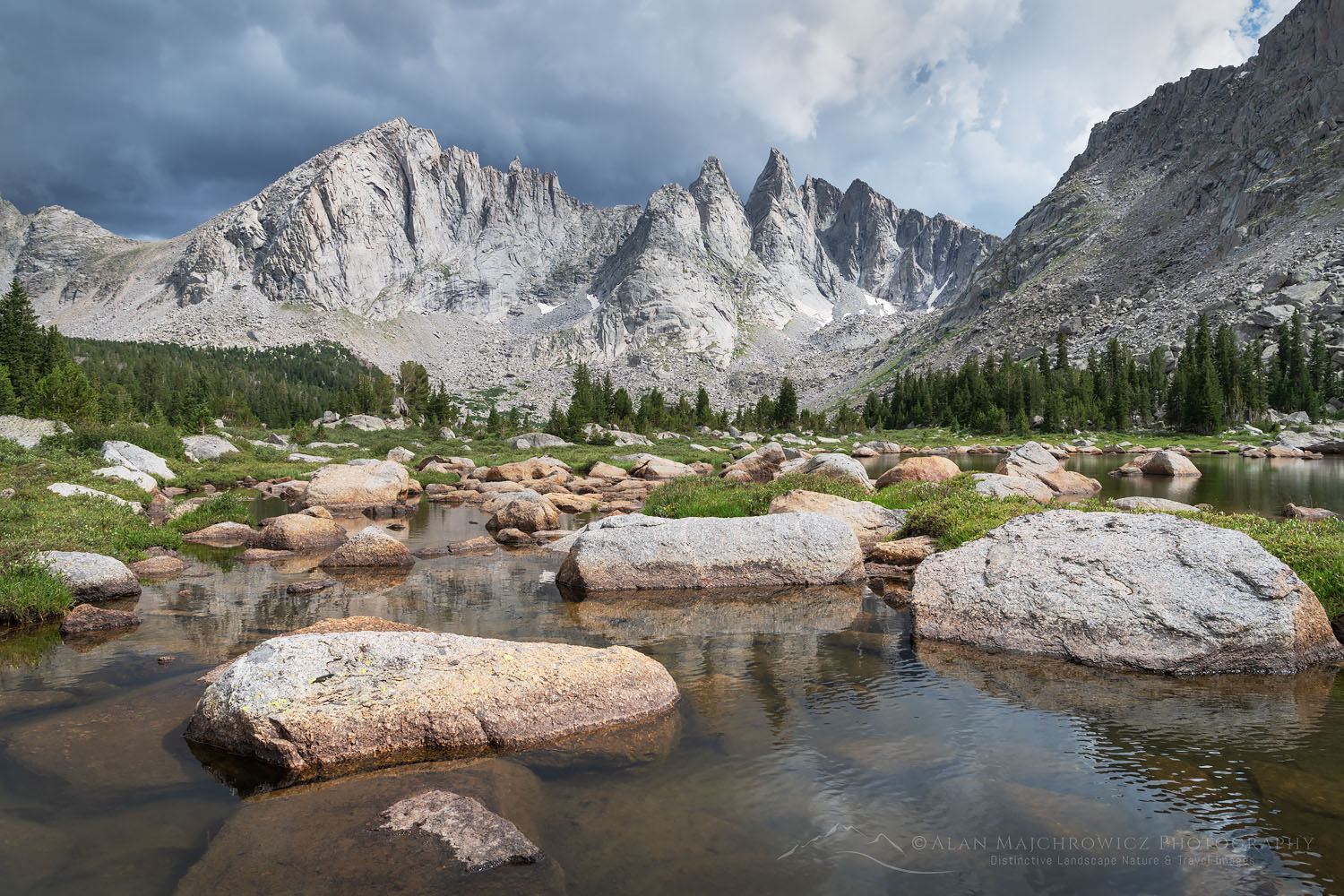
Ever wonder what it’s like photographing landscapes and nature for a living? Check out my blog post:
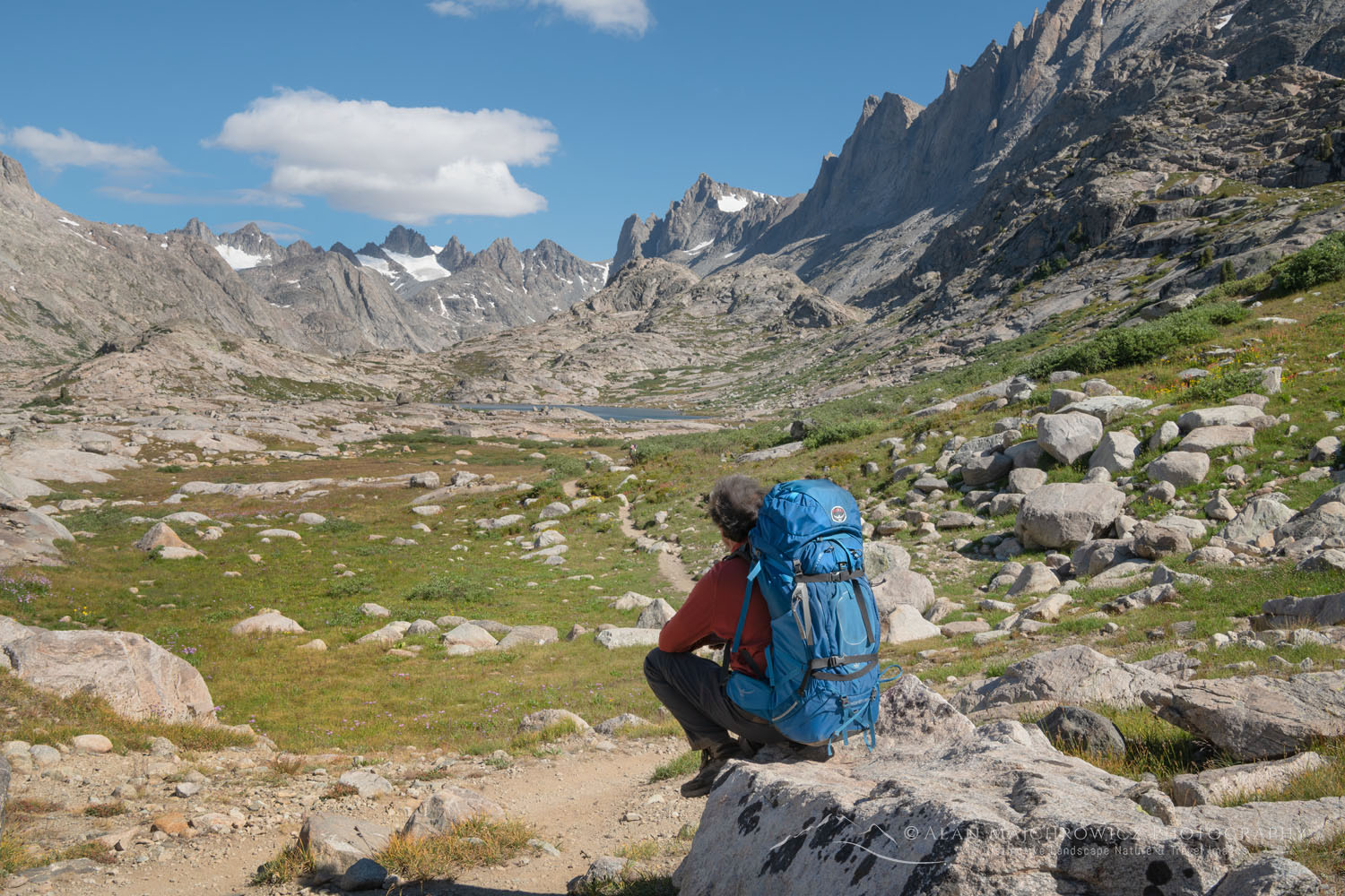
What is it like to be a Professional Landscape Photographer?

All photos appearing in Grand Teton Photography Locations are available for Commercial Licensing and Fine Art Prints. Click on any image to purchase, or contact me for more info!

Want to learn more? Take your Creative Photography to the next level with  Private Instruction and Guided Photo Tours.

Related Blog Posts to Grand Teton Photography Locations:
Grand Teton Photography Trip Planning