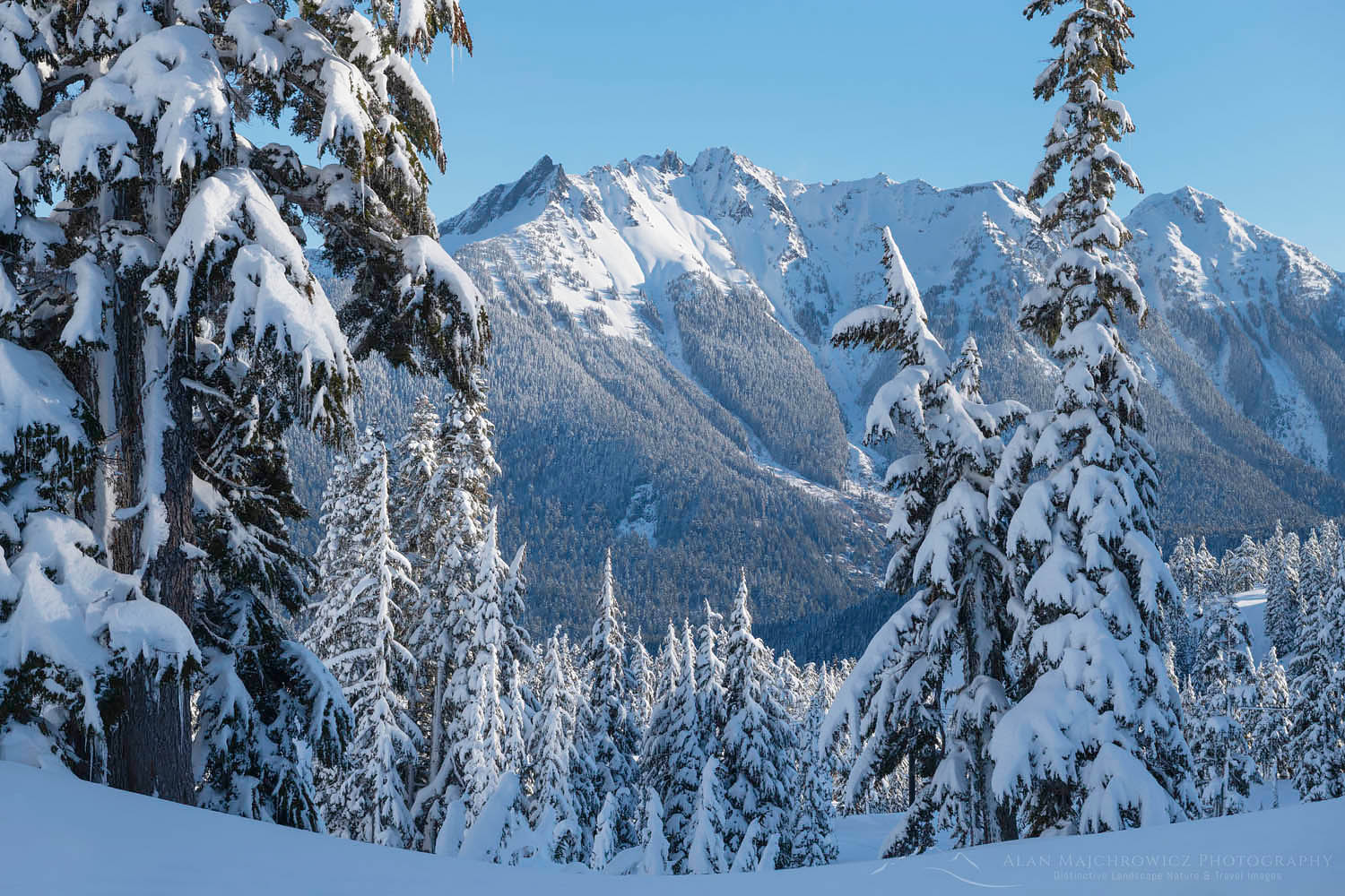
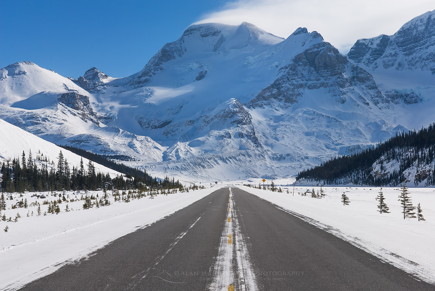
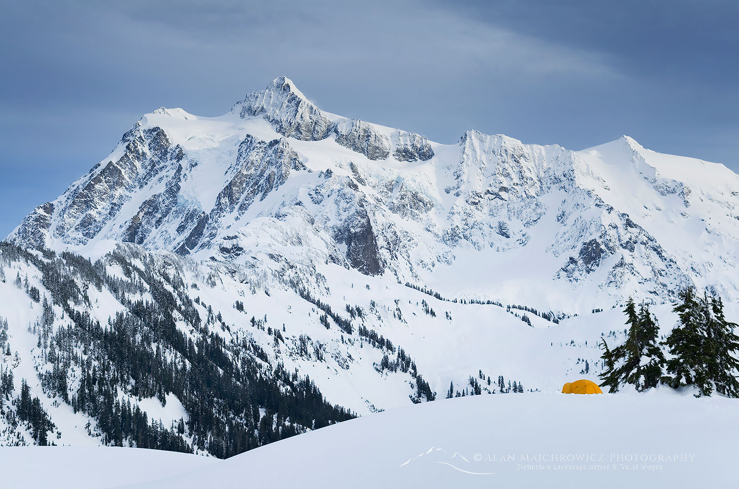
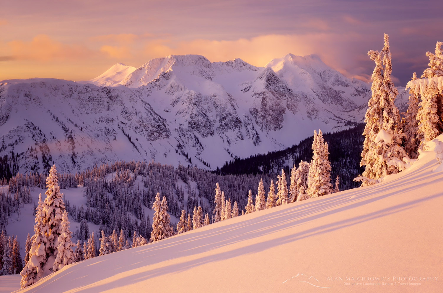
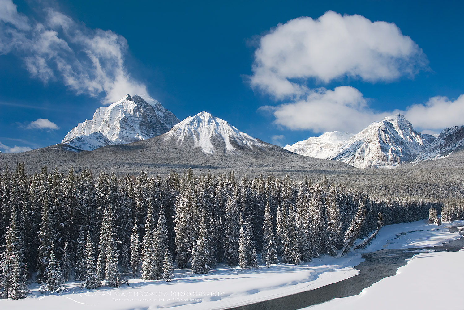
Mount Shuksan from Baker Lake North Cascades

North Cascades Photography Workshop

North Cascades Photography Workshop

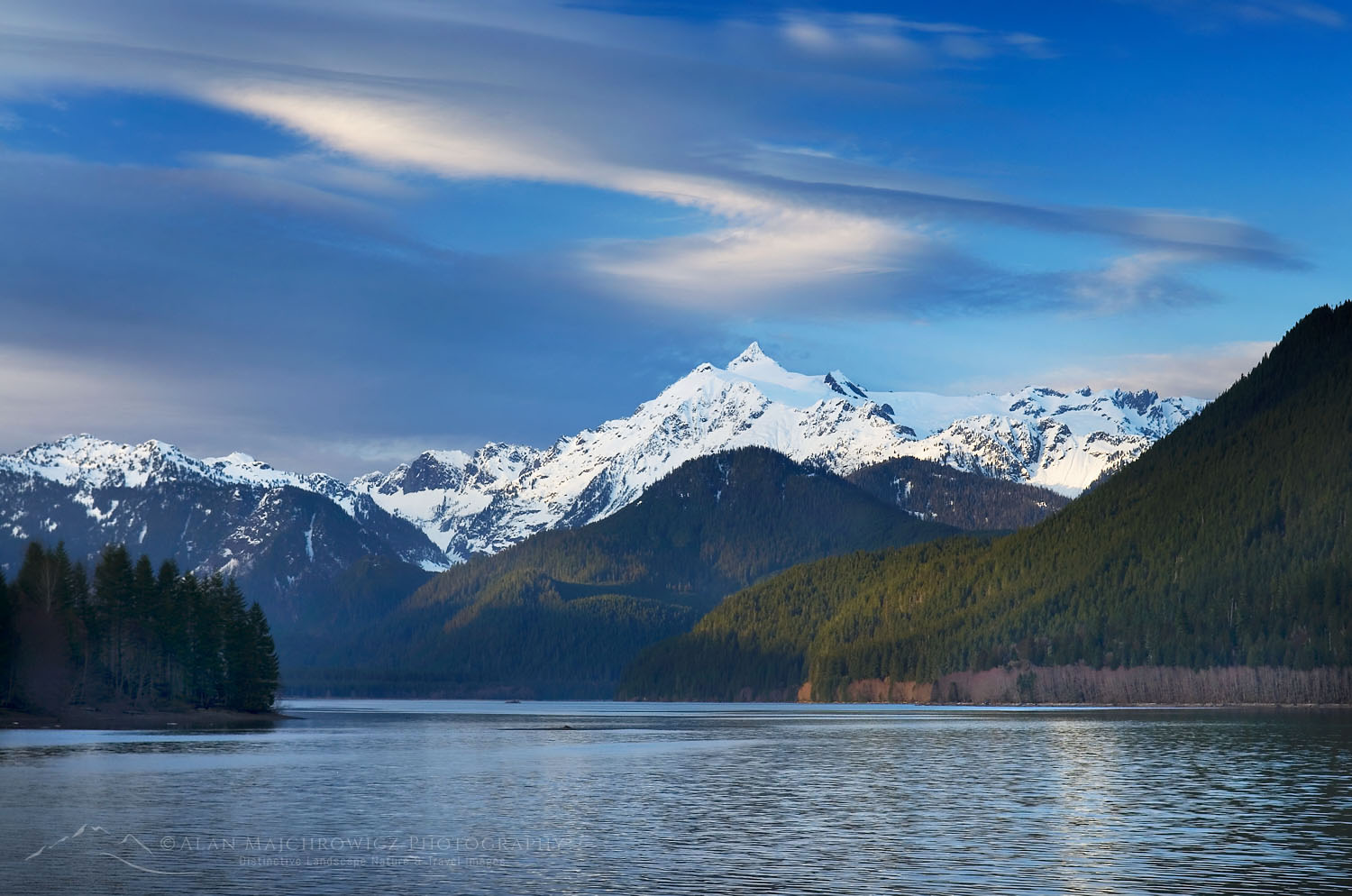
Mount Shuksan from Baker Lake North CascadesMount Shuksan and Baker Lake #53550

Join me for a two-day workshop on creative visualization in the North Cascades.  Hosted by the North Cascades Institute, the Pacific Northwest’s premier organization for environmental learning. This will be a hybrid workshop, with the first part being a full day in the field. The second part will be an online Zoom session where we will discuss techniques of photo editing and processing.

The field segment will be a full day of photographing in the beautiful old-growth forests along Baker Lake in the North Cascades. The lake sits below the towering summits of Mount Baker and Mount Shuksan. Along the way, we will pass numerous streams flowing through a cool and fragrant forest of giant firs and cedars. Along with an understory lush with ferns and wildflowers, there will be plenty of subject matter to work with.

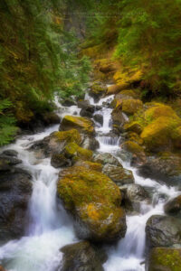
Hidden Creek. Baker Lake Trail, North Cascades WashingtonHidden Creek North Cascades #65030  Purchase

During our time in the field, we will discuss and learn composition techniques. We will also explore focus stacking, exposure stacking, macro photography, and more. Above all, we will learn to develop and express personal visions of the surrounding environment. In the online Zoom session, we will discuss and learn various editing and processing techniques to help convey your creative experience.

Although this workshop touches on some basic technical aspects of photography, the focus will be on creativity and visualization. Participants should possess a working knowledge of their cameras. Participants should also have a basic understanding of image editing apps.

Due to pandemic restrictions, the field portion will be limited to eight participants.


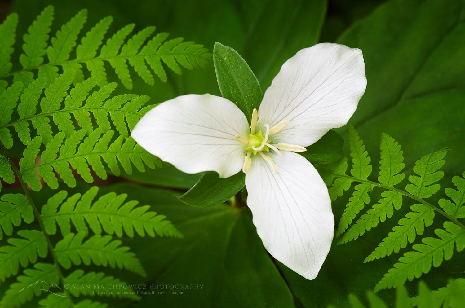
Western Wake-robin (Trillium ovatum)Trillium #53779  Purchase

Suggested Photography Equipment

  • DSLR  is preferred, but any camera will be acceptable
  • Wide-angle to short telephoto lens
  • Polarizing filter
  • Tripod
  • Remote shutter release

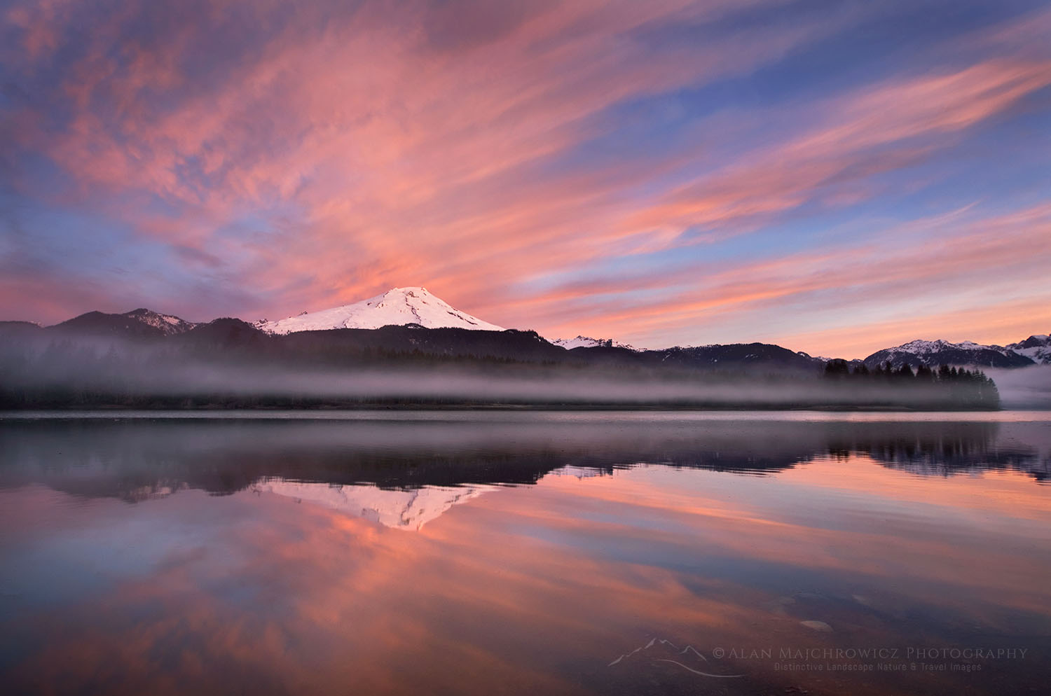
Sunrise over Mount Baker (elevation 10,778 feet (3,285 m) and Baker Lake, North Cascades WashingtonMount Baker from Baker Lake  #53562  Purchase

North Cascades Photography Workshop

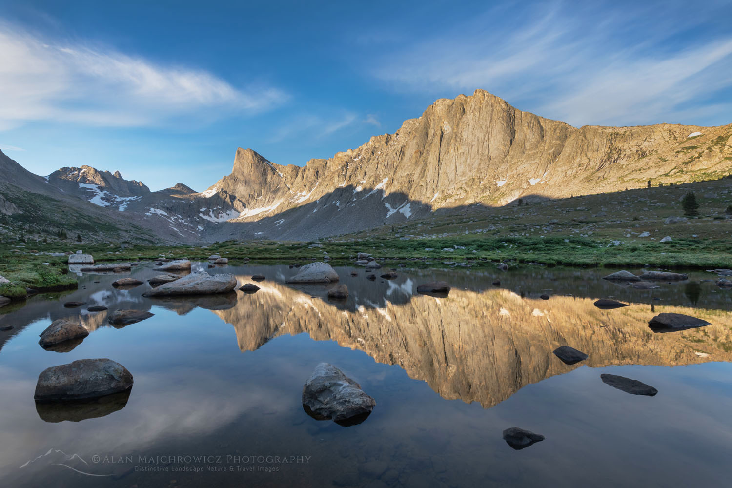
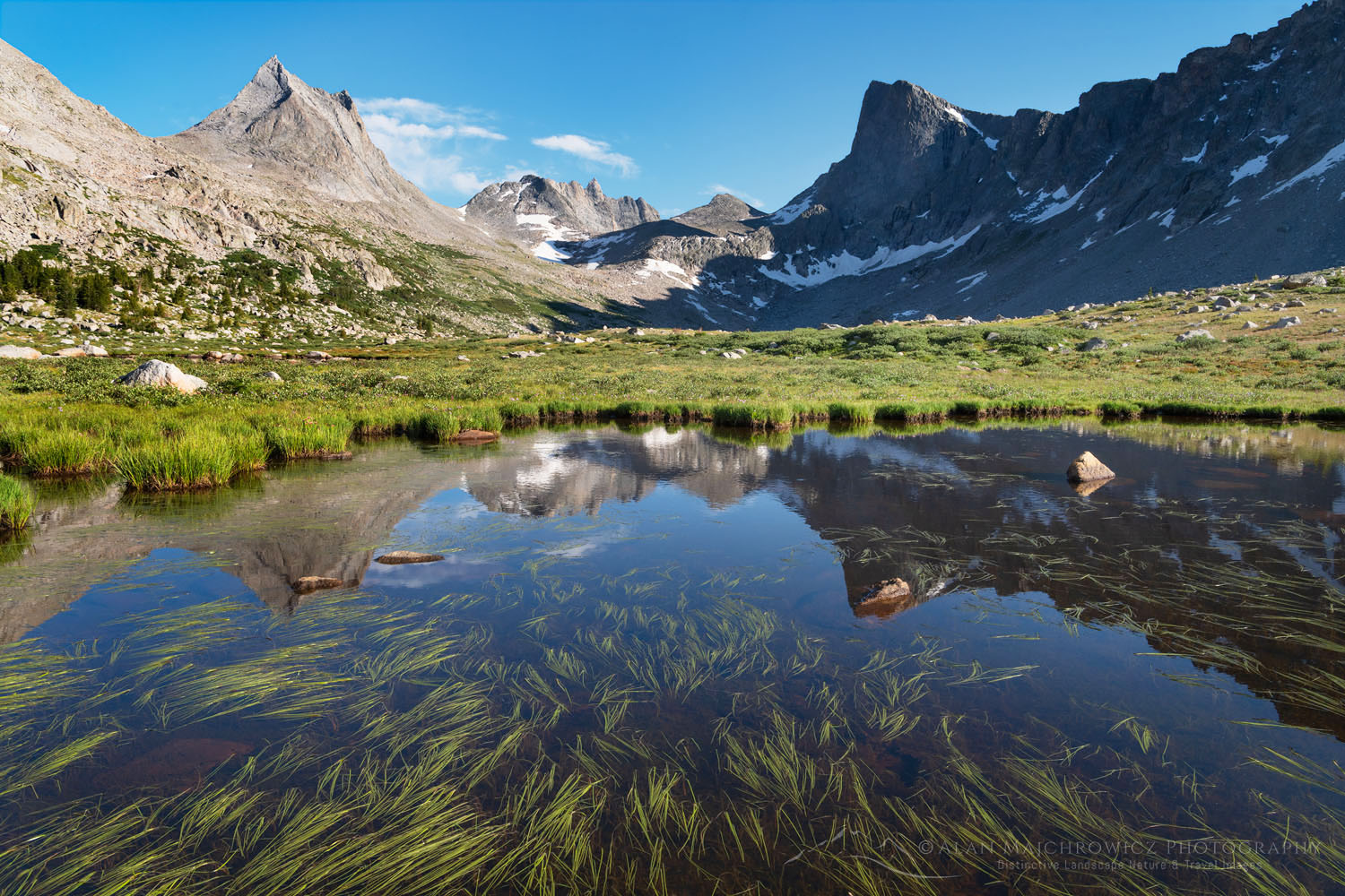
Pronghorn and Dragon Head Peaks reflected in pond near Lee Lake, Bridger Wilderness. Wind River Range, Wyoming

Central Wind River Range Backpacking

Central Wind River Range Backpacking

Pronghorn and Dragon Head Peaks reflected in pond near Lee Lake, Bridger Wilderness. Wind River Range, WyomingPronghorn and Dragon Head Peaks, Central Wind River Range  #69141  Purchase

The Wind River Range of Wyoming is a spectacular section of the Rocky Mountains. It contains 40 peaks over 13,000 feet, the largest glacier in the American Rockies, and over 1300 named lakes. All are spread over three wilderness areas.  While not as well known as other destinations such as Grand Teton and Glacier National Parks, the range nonetheless attracts an increasing number of backpackers, climbers, hunters, and fishermen.

While popular destinations in the Winds like Cirque of the Towers, Island Lake,  and Titcomb Basin see the bulk of the crowds, much of the Winds remain nearly deserted. An extensive network of trails gives access to nearly every corner of the range, and off-trail travel is relatively straightforward. All of this offers outdoor enthusiasts a lifetime of wilderness adventures.

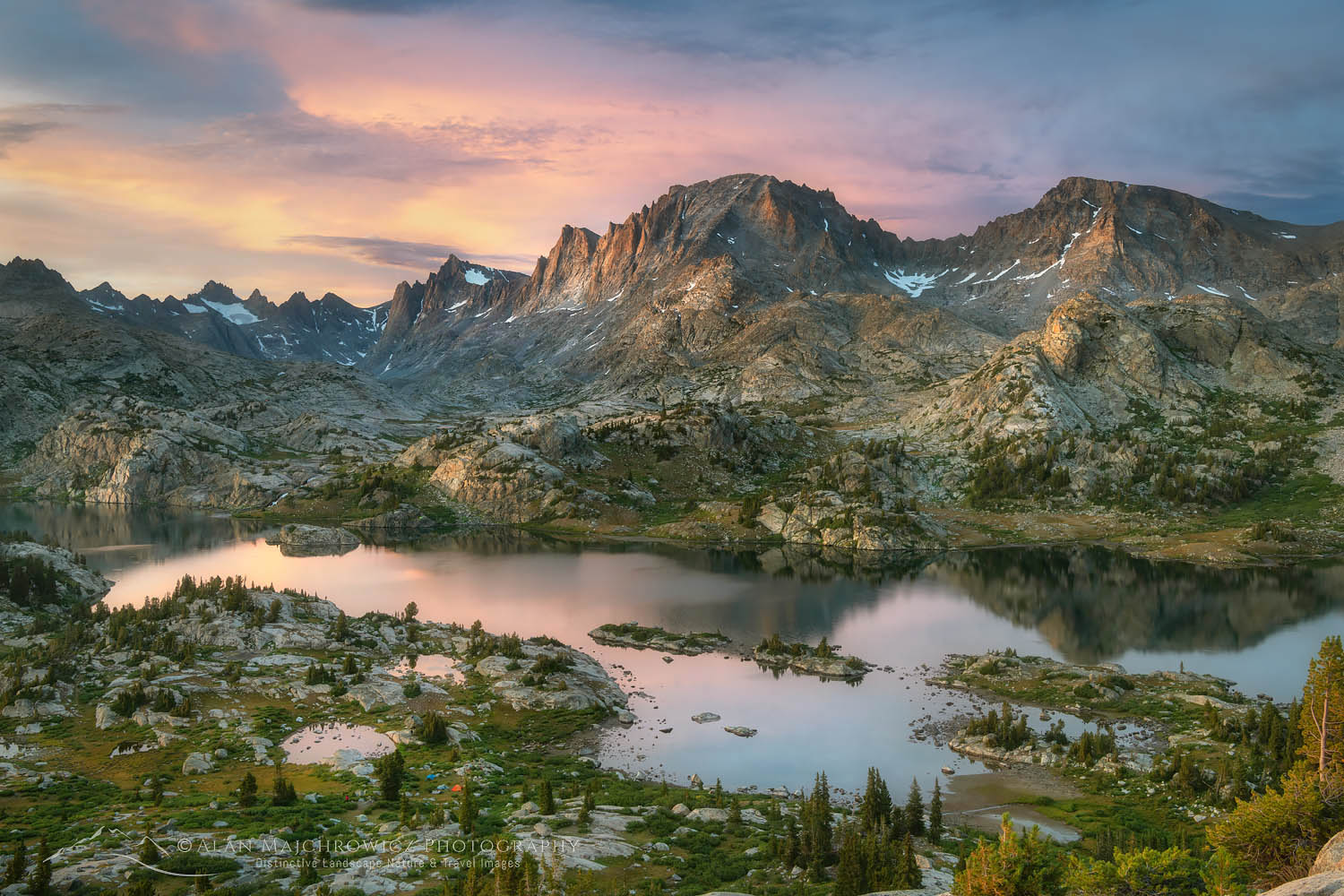
Island Lake and Fremont Peak, Bridger Wilderness, Wind River Range WyomingIsland Lake Wind River Range #66386  Purchase

My first visit to the Winds was in 2002, and I’ve been coming back for more ever since. Being a landscape photographer, I was naturally drawn to Titcomb Basin and Cirque of the Towers on initial trips. But over time, I became aware of other hidden gems in the range. Soon, my list of destinations grew long with several spots rising to the top.

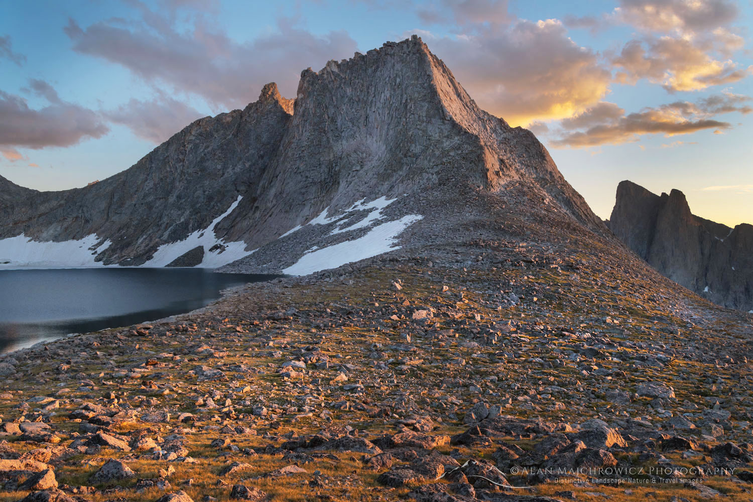
Last summer, I returned to the Winds to check out a new area, Lee Lake and Pronghorn Peak. Both are located in the upper valley of the Middle Fork of Boulder Creek. This location, in the Central Wind Rivers, was on my list the previous summer but was nixed in favor of another location. When doing location research over the years, one peak’s stunning profile stood out. This was Pronghorn Peak. Rising to 12,388′, it and the surrounding terrain have a look similar to mountains in Patagonia, or Canada’s Baffin Island.

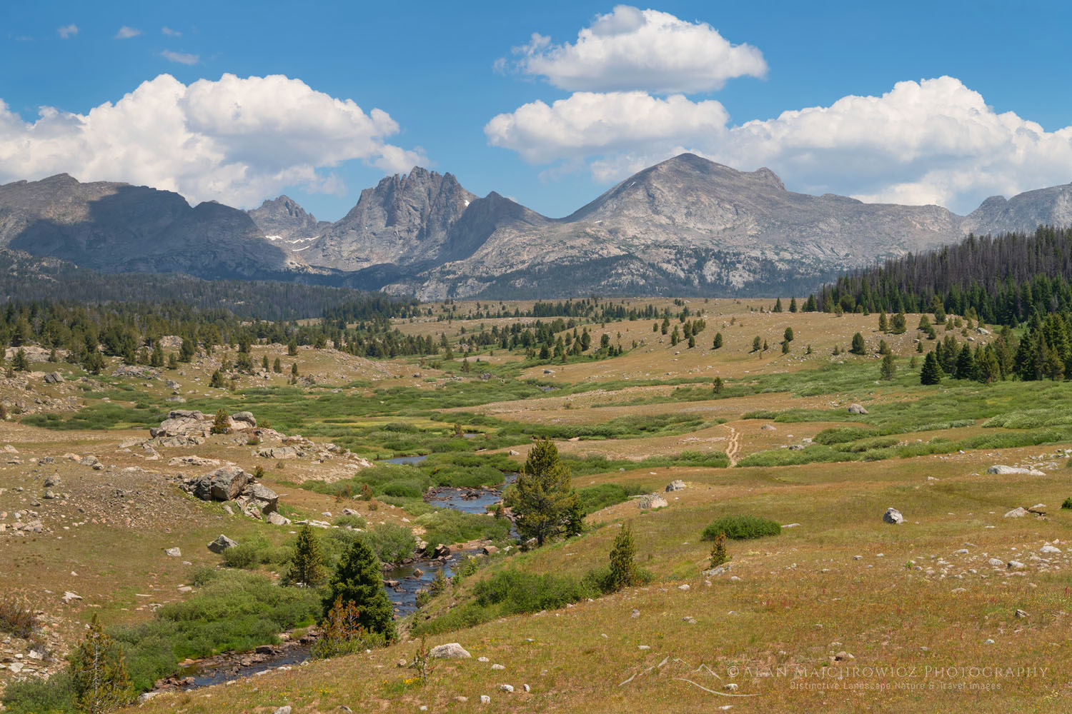
Mount Bonneville and Raid Peak seen from Scab Creek Trail Central Wind River Range  #69072  Purchase

Backpacking into the Central Wind River Range

The Middle Fork Lake Valley is about 20 miles from the nearest trailhead at Scab Creek. This, together with the variety of photographic subject matter, necessitated a longer multi-day trip. To allow enough time at key locations, I had a budget of 9 nine days. This would give enough flexibility to stay longer in promising spots.

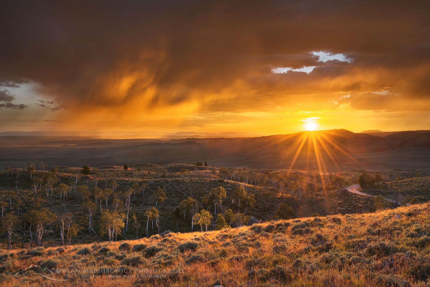
Stormy Sunset Wind River Range  #69049  Purchase

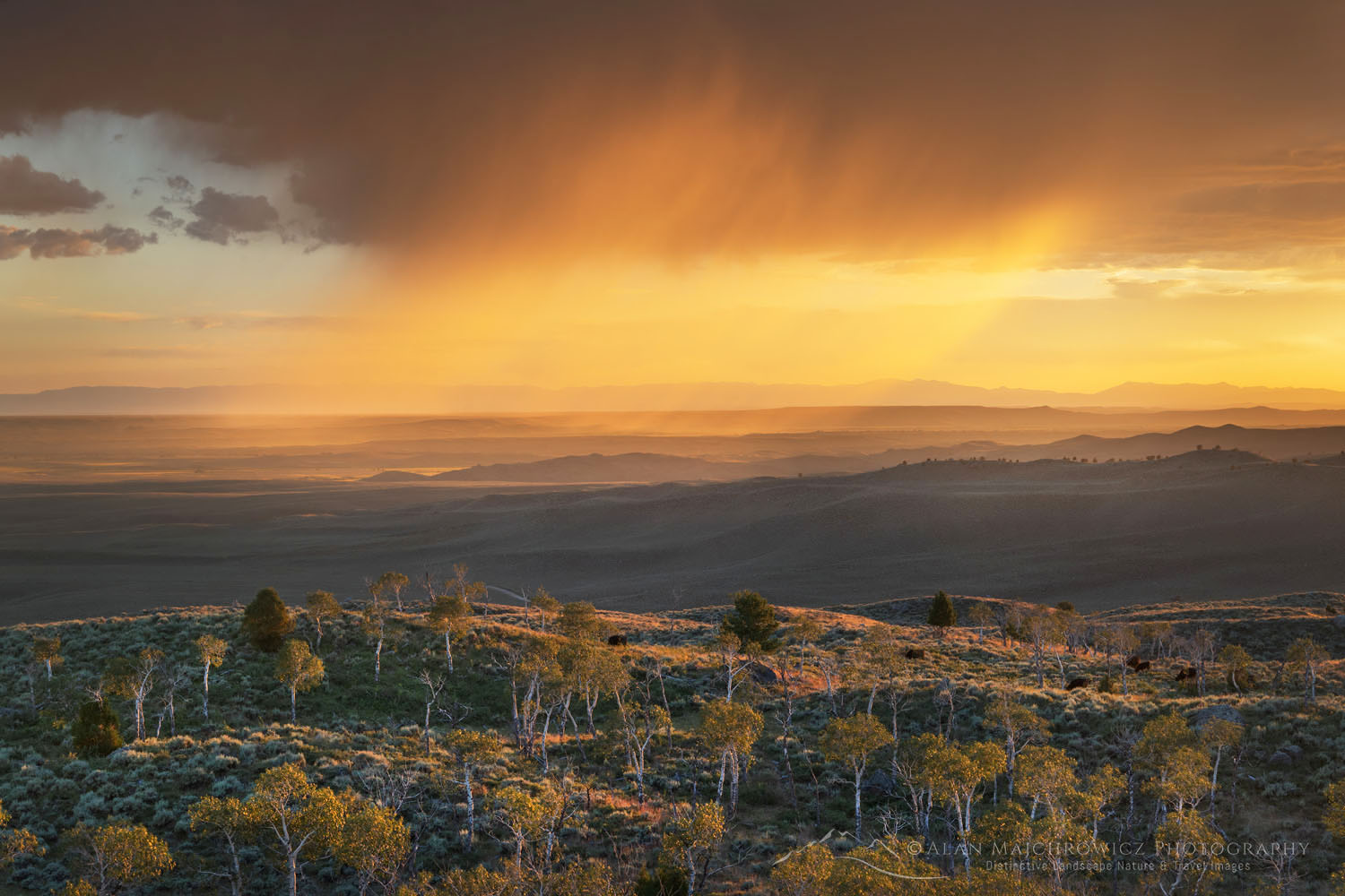
Arriving at the Scab Creek Trailhead, the afternoon before starting, I sorted through and packed all my gear. Towards evening, some brief showers passed through, making me think there may be some great evening light in the making. So I drove a short way back down the road to a viewpoint to scout a good spot. It didn’t take long to see my instincts were right. Several storm cells were in the area with plenty of room in between them for the setting sun to break through. The resulting light show kept me on my toes for quite some time.

The next morning, my trip began early with the destination for the day, 10 miles away at Dream Lake. Accessing the high peaks along the Continental Divide in Central Wind generally requires a long approach. A high-rolling landscape with numerous lakes characterizes this area, and it’s usually on the second day before the high peaks are reached. So the first day was a long, uneventful march with a cool dip in Dream Lake awaiting at the end.

Nylon Peak and Pronghorn Peak reflected in pond near Lee Lake Nylon and Pronghorn Peaks Wind River Range  #69083  Purchase

Middle Fork Lake/ Lee Lake Central Wind River Range

On day two, the trail begins to approach the real mountains. After a gradual climb and skirting a few more lakes, the trail ends at a small pass overlooking the Middle Fork Valley. This is where I finally had my first tantalizing view of Lee Lake and the surrounding granite spires. From here on, it was all trail-less cross-country travel over wide-open terrain. This is the kind of travel most backpackers dream of.

After making my way down from the pass, I began to look for a good campsite close to good photo compositions. Just short of Lee Lake were some small photogenic ponds, with a decent campsite close by. With these in the foreground, the imposing summits of Nylon Peak, Pronghorn Peak, and Dragon’s Head made for a dramatic scene. All I needed was some good light.

Pronghorn and Dragon Head Peaks reflected in pond near Lee Lake, Bridger Wilderness. Wind River Range, WyomingPronghorn and Dragon Head Peaks Central Wind River Range  #691371  Purchase

The Winds are notorious for afternoon thunderstorms followed by evening clearing, which I experienced firsthand. There were rain showers that afternoon and several hours of constant hail and thunder the next day. During the three days I spent at that camp, there were a few instances of decent light, but not as dramatic as I was hoping for.

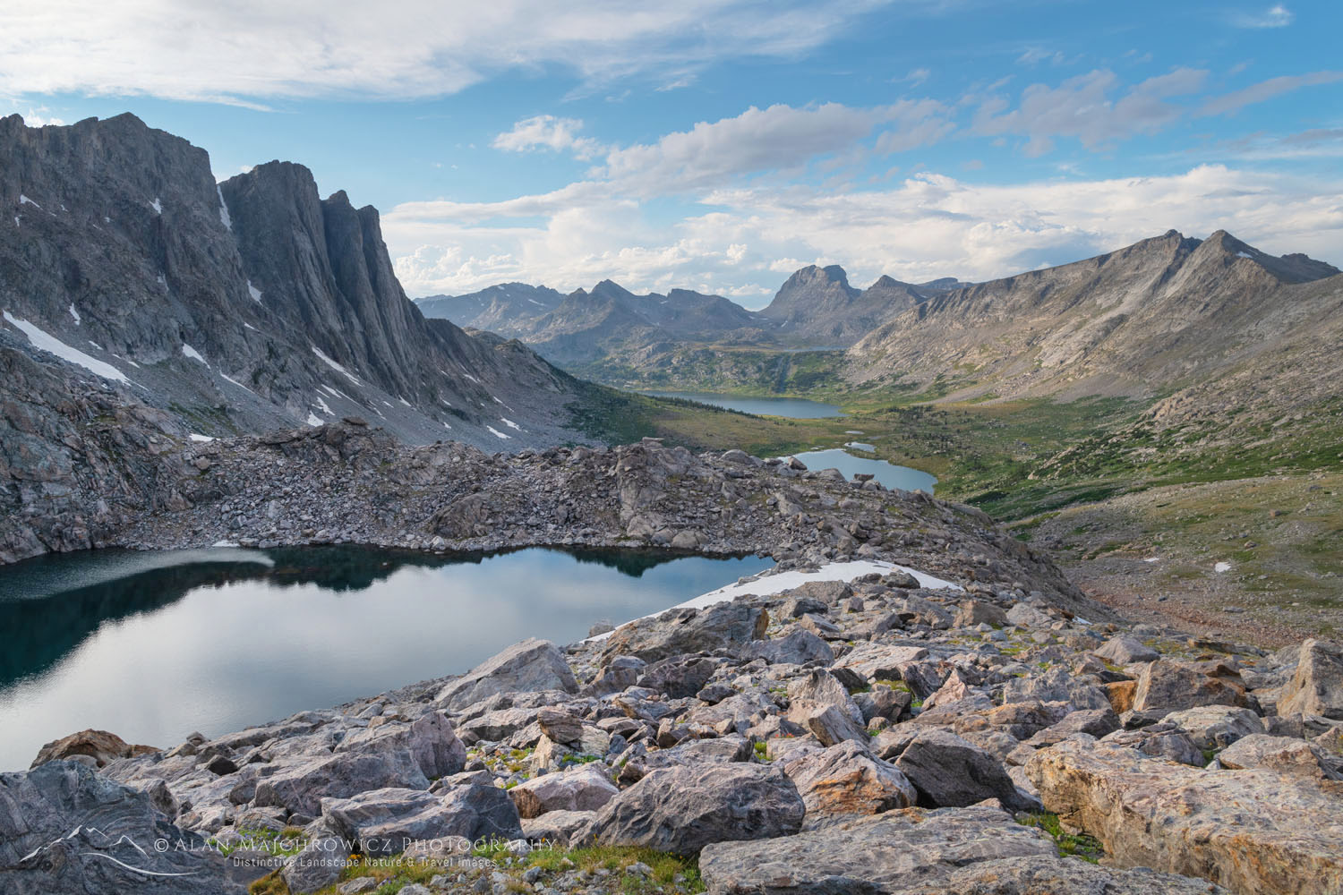
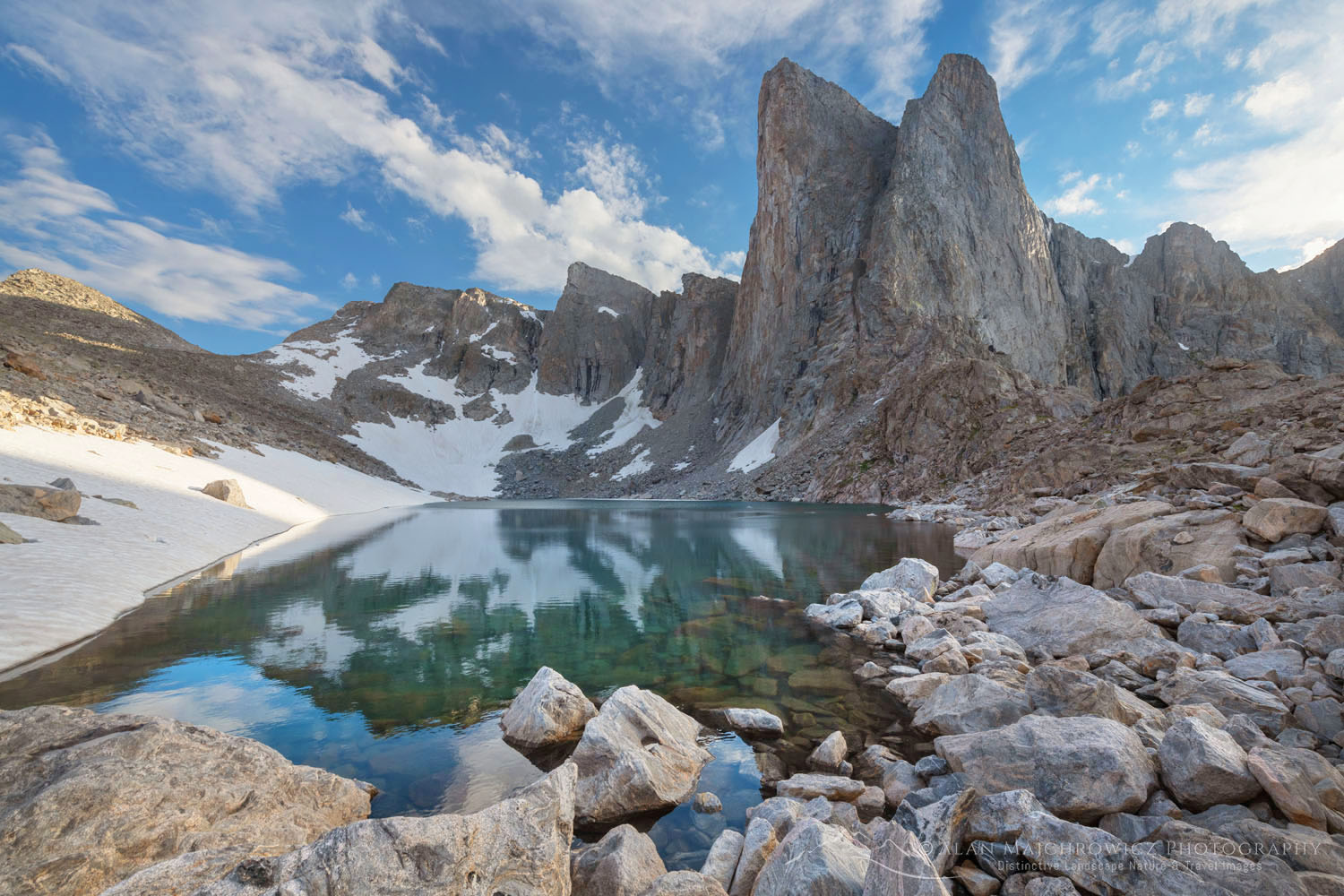
Pronghorn Peak and Lake Donna. Bridger Wilderness, Wind River Range WyomingPronghorn Peak and Lake Donna #69194  Purchase

Pronghorn Peak Central Wind River Range

Moving up to a higher camp directly across from Pronghorn entailed some tiring bushwhacking through thick brush. From a campsite at 11,000′ directly below Nylon Peak, I was able to spend a day exploring and scouting out photo compositions. From one pass, I was able to gaze out to Bonneville Peak and down into Bonneville Lakes, which was one of my destinations from the previous summer.

Lake Donna Bridger Wilderness, Wind River Range WyomingLake Donna Wind River Range  #69193  Purchase

Following a moraine down from the pass to Lake Donna, I found the compositions I was looking for. The dramatic vertical split spires of Pronghorn Peak began right at the shore of the lake. A large boulder field at the outlet framed the scene perfectly. Again, good light would be the key to great photos. And since you never know if you’ll get another chance, I made several photos on the spot.

My plan was to return before dawn the next morning, but the sky was empty of the dawn clouds I was hoping for. Although I was ready and waiting, the light never came. Nylon Peak cast a predictable, harsh shadow across Pronghorn instead. All I could do was watch that shadow slowly move down as the sun rose higher against an empty blue sky.

Pronghorn Peak and Lake Donna. Bridger Wilderness, Wind River Range WyomingPronghorn Peak and Lake Donna #69198  Purchase

My few photos from the evening before were the best opportunities for that particular composition. It was disappointing, but thinking positively, there was another future excuse to return to this stunning location.

Nylon Peak Noel Lake. Bridger Wilderness, Wind River Range WyomingNylon Peak Wind River Range  #69254  Purchase

Noel Lake and the Continental Divide

By now, I’ve already been in the area for four days with only one more day left before needing to head out. The last destination to visit was Noel Lake, a lonely body of water sitting right on the Continental Divide below the eastern face of Nylon Peak.

If you are in the area or passing through on the Wind River High Route, it would be a shame to not check it out. For me, it was a short hike, only about one mile further and 500′ higher. Despite the close proximity, it was slow going. Most of the route is across a seemingly endless boulder field. Once at the lake, which is 11’500′ up on the Divide, the goal is to find a campsite. The entire vicinity around the lake is more boulders. The few places big enough for a tent are on an inconvenient slope. However, a bit of scouting came up with possibly the only suitable open and level spot.

Nylon Peak Noel Lake. Bridger Wilderness, Wind River Range WyomingNylon Peak and Noel Lake Wind River Range  #69254  Purchase

Several yards from camp is the actual Divide, with a tiny pass bearing the name Col De St. Michaels. The view southeast to Lander Peak and its glaciers is spectacular, as is the view northeast to Roberts Mountain and Moraine Lake far below. Rock cliffs and water in every direction.

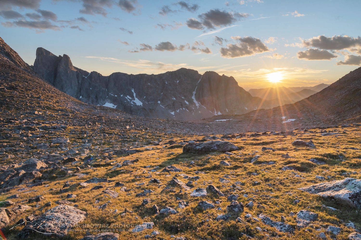
At Noel Lake, I was facing the usual prospect of having some great photos lined up, only to wait and hope for good light. Unfortunately, except for some mid-day clouds, my envisioned photos of Noel Lake and Nylon Peak didn’t appear. However, there was some very nice light at sunset, looking down and over the Middle Fork Valley.

Sunset over Middle Fork Basin seen from Noel Lake on the continental Divide. Bridger Wilderness, Wind River Range WyomingSunset from Noel Lake Wind River Range #69259  Purchase

Hiking out of the Central Wind River Range

From the Middle Fork Valley, there are some outstanding alternative return routes. Some of them involve negotiating passes in other valleys, while others take little-used trails across the benchland. I chose to return on the same trails I came in on, with one last camp again at Dream Lake.

Aside from the first few miles on the first day, I came across very few other parties. So if you’re looking for backcountry solitude, this is a good place to find it. I came across quite a few parties starting out in the last five miles; about half of them were horse-packing. The easy way to explore the Winds.

I should also mention that of all the people I encountered, I was probably the only one without a fishing pole. Most of those 1300 lakes have fish in them, and many rarely see a line dropped in. I’m not a fisherman, but I can imagine there are some trophy fish out there just waiting to give an angler a thrill.

Boulder River Bridger Wilderness Wind River Range Wyoming Central Wind River RangeBoulder River Central Wind River Range #69349  Purchase

If You Go to Middle Fork and Lee Lake

Distance from Scab Creek Trailhead to Lee Lake:  15 miles
Elevation:  ~3200 gain from the trailhead to Lee Lake
Add another 1000′ and 3 miles for Lake Donna and Noel Lake
Difficulty:  Moderate-Difficult
Red Tape:  As of 2020, no permits are needed

Totals for my nine-day trip including side trips and photo scouting
Distance: ~38 miles
Elevation: ~4200″ not including numerous elevation gains and losses

The Scab Creek Trailhead is located 28 miles south of Pinedale. The last six miles are on a good gravel road. Adjacent to the trailhead, there is a small campground. Like most trailheads in the Winds, parking can be at a premium; get an early start.

Make sure you take along plenty of insect repellent. The Winds are notorious for their ravenous hordes of mosquitoes and flies. Although they weren’t too bad during my trip in early August. Also, be prepared for dramatic weather changes. Summer thunder and lightning storms are very common along the Continental Divide. Because of this, stay off high ridges and summits during this time of day.

The town of Pinedale makes a great base for multiple trips into the Winds. It has everything you’ll need, from good food and lodging to one of my favorite outdoor recreation stores, the Great Outdoor Shop. It’s stocked with everything needed for a successful trip, including a very knowledgeable and friendly staff. Don’t visit Pinedale without dropping in! Right next door to the great Outdoor Shop is the best place to go for a post-trip meal, the Wind River Brewing Company. They have excellent burgers and great brews!

Stormy sunset from Scab Creek Trailhead. Bridger-Teton National Forest Sublette County, WyomingStormy Sunset Wind River Range  #69042  Purchase

Leave No Trace

Please Please Please!  Don’t plan a trip to this or any other wilderness area unless you are prepared to strictly follow the guidelines of Leave No Trace (LNT). The Wind River Range and all other wilderness areas throughout the world are under incredible pressure from growing numbers of visitors. Please do your part to help preserve these precious areas for future generations!

To learn more about the principles and practicing LNT please take a few minutes to visit the Leave No Trace Center for Outdoor Ethics. Your children and grandchildren will thank you!

Seven Leave No Trace Principles

  • Plan ahead and prepare.                                       
  • Travel and camp on durable surfaces.                 
  • Dispose of waste properly.                                                                         
  • Leave what you find.                                            
  • Minimize campfire impacts (be careful with fire).
  • Respect wildlife.  
  • Be considerate of other visitors.

Photo Gear Used On This Trip

Nikon D850
Nikkor Lens:
14-24mm 2.8G ED
24-70mm 2.8E ED
70-200mm 2.8E FL ED
Gitzo 1532 Tripod
Really Right Stuff B-55 Ball Head
Assorted Lee Graduated Neutral Density Filters
B+H Polarizing Filter
Vello FWM-N2 Remote Shutter Release

Backcountry camp below Pronghorn Peak. Bridger Wilderness. Wind River Range, Wyoming Central Wind River RangePronghorn Peak Camp Wind River Range  #69170  Purchase

If you enjoyed reading Central Wind River Range Backpacking, please share it with your friends and family.

And check out these other Wind River posts!
Cirque of the Towers Wind River Range
Bonneville Lakes Wind River Range
Island Lake Wind River Range
Titcomb Basin Wind River Range
Indian Basin Wind River Range
Green River Lakes Wind River Range
Pyramid and Shadow Lakes Wind River Range

All photos appearing in Central Wind River Range Backpacking are available for Commercial Licensing and Fine Art Prints. Click on any image to purchase, or contact me for more info!

Central Wind River Range Backpacking

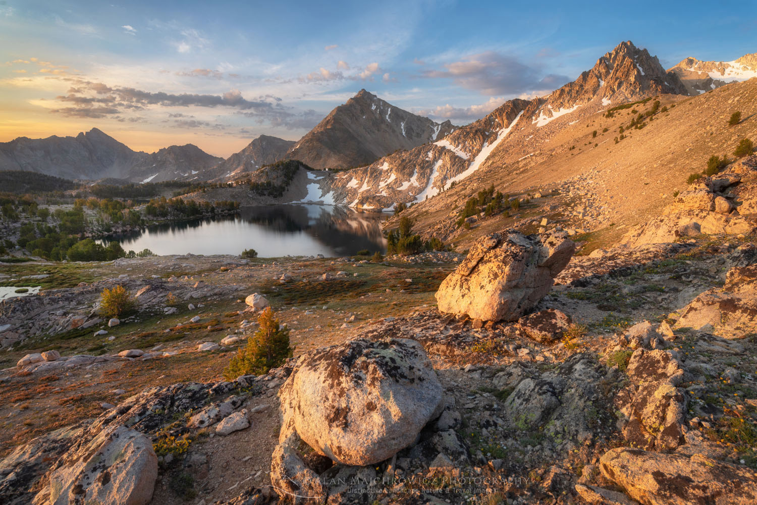
Big Boulder Lakes Basin, White Clouds Wilderness Idaho

White Clouds Wilderness Idaho

White Clouds Wilderness Idaho

Big Boulder Lakes Basin, White Clouds Wilderness IdahoBig Boulder Lakes White Clouds Wilderness #68936  Purchase

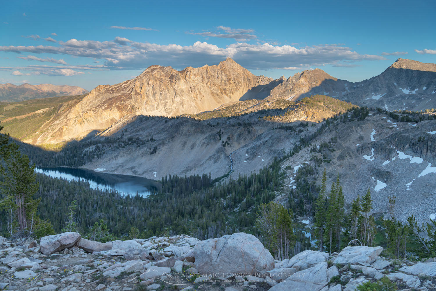
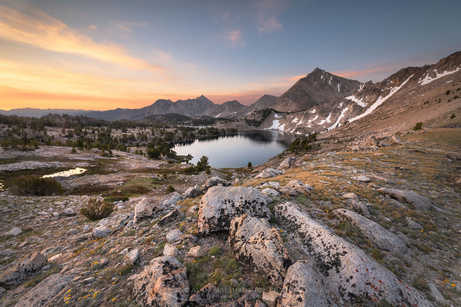
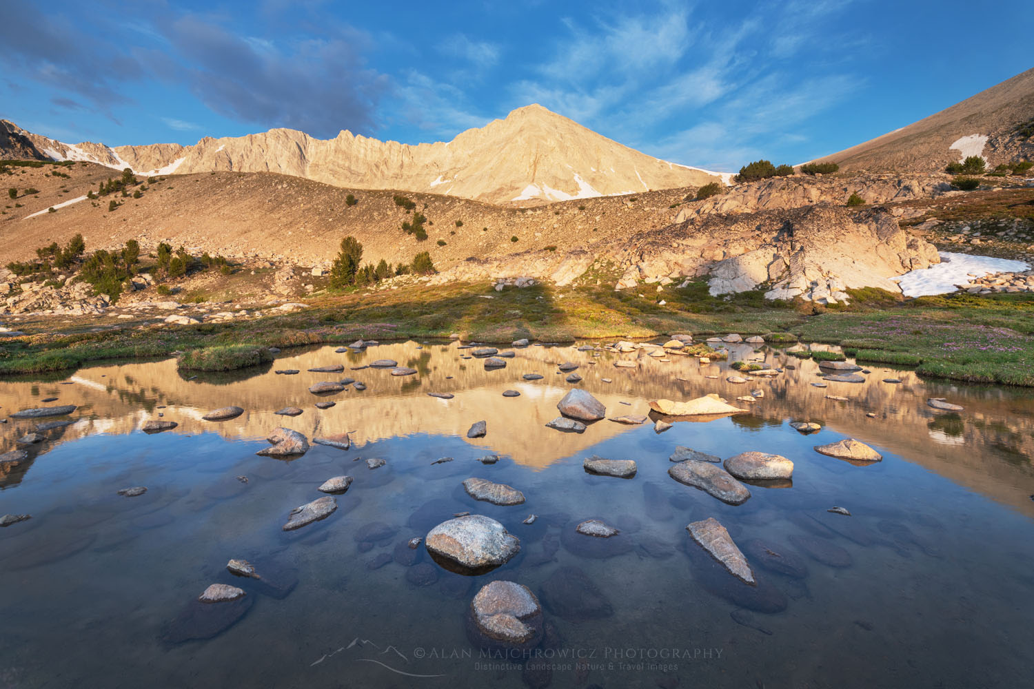
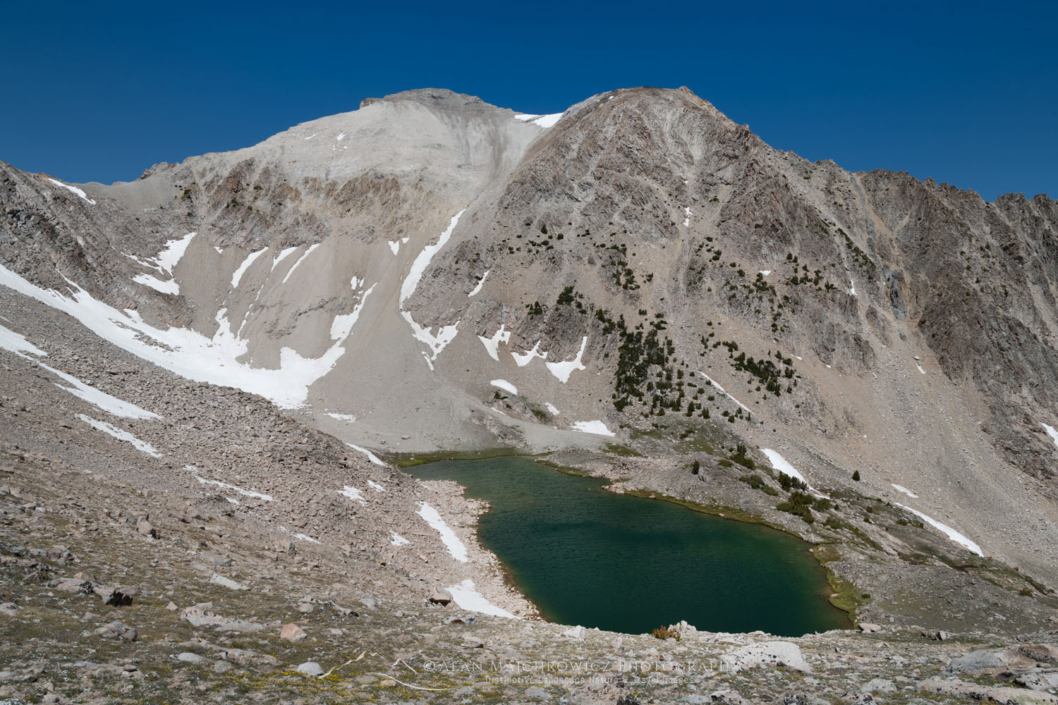
In central Idaho there lies a wilderness area that is seemingly hidden in plain sight. Established by Congress in 2015 the Cecil D. Andrus-White Clouds Wilderness is one of the youngest in the nation. The reason I say that it is hiding in plain sight is the fact the nearby Sawtooth Wilderness grabs all the attention. Visitors flock to the Sawtooths to hike, climb, and fish among their jagged spires. And for good reason, the Sawtooths are visually akin to the Grand Teton Range, albeit on a smaller scale.

But most visitors are unaware of the quiet yet spectacular wilderness just a stone’s throw away. To the east across the valley cut by the Salmon River are the White Clouds. If you climb high in the Sawtooths and look east you’ll get a distant glimpse of them. A small range of high peaks consisting of light-colored rock looking like clouds on the horizon.

There are 63 named lakes in the range and several peaks over 11,000′ in elevation. Additionally, bordering the Cecil D. Andrus-White Clouds Wilderness is the Hemingway-Boulder Wilderness, and the Jim McClure-Jerry Peak Wilderness areas. But for our purposes, we’ll concentrate on the White Clouds.

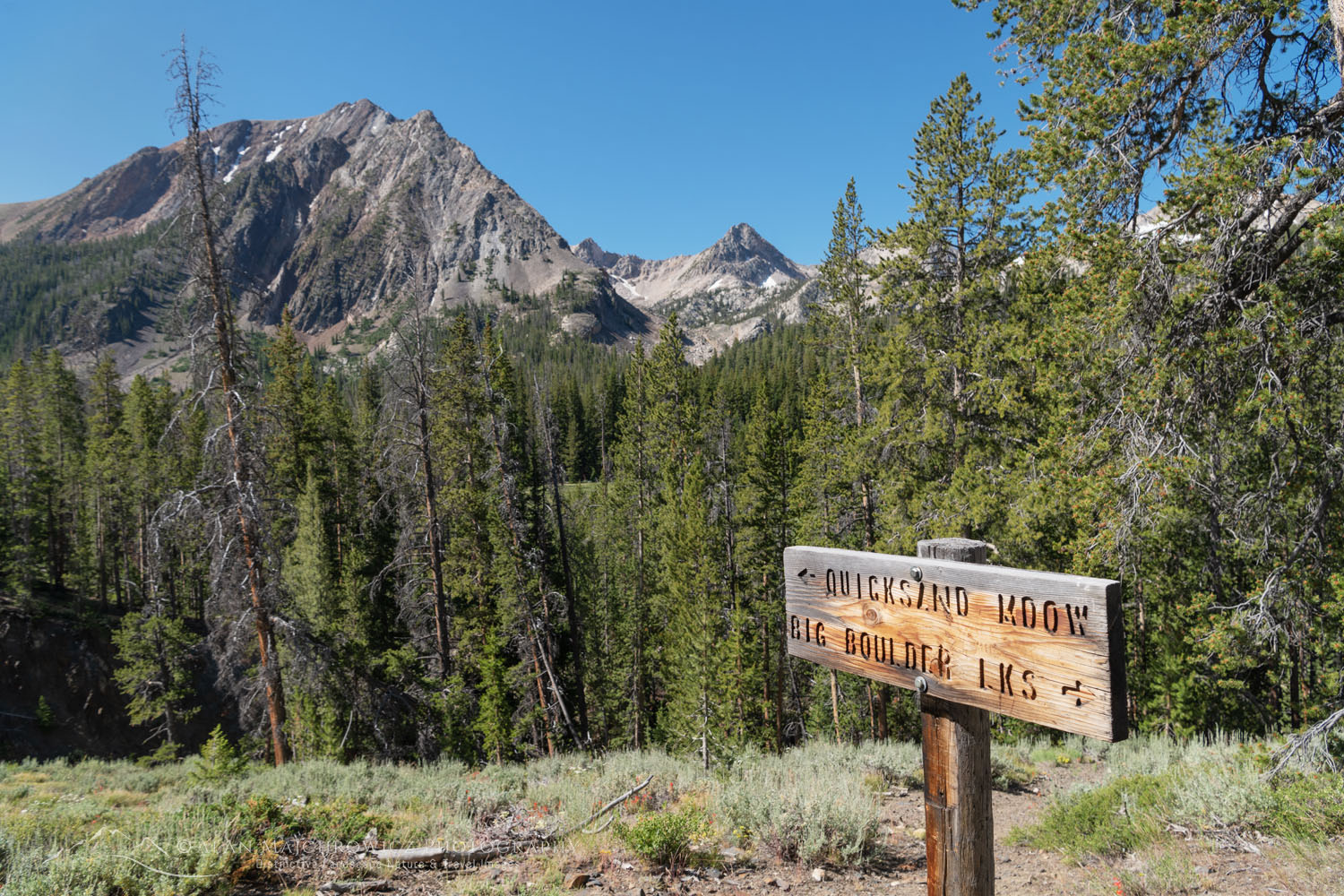
Trail sign, White Cloud Wilderness IdahoBig Boulder Lakes Trail Sign  #68891 

Backpacking to Walker Lake

Last summer I made my first trip to the White Clouds. The core area of the range most popular with hikers has two sections. In the south is the Boulder Chain Lakes area, which sees more visitors. In the north is the Big Boulder Lakes Basin, my destination for this trip. Both areas can be combined into one long multi-day trip. However, there are a few difficult cross-country sections with steep climbs, exposure, and difficult route finding. This makes a loop route more than the average backpacker is willing to attempt.

One reason Big Boulder Basin sees fewer visitors is the access to the trailhead at the Livingston Mill. From Stanley, this entails a long drive along the Salmon River and then up a narrow and dusty gravel road. There is at least one nice perk to accessing the White Clouds from here, read on to the end to find out what it is.

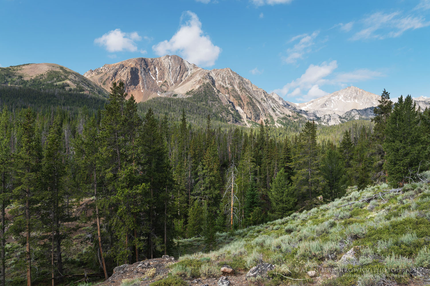
White Clouds Wilderness IdahoWhite Clouds Wilderness #68980

The last mile or two is pretty narrow with a steep drop-off. Keep a sharp eye out for oncoming vehicles since backing up to the nearest pullout would not be pleasant. There is a large parking area at the road end near Livingston Mill, elevation 7200′.

My destination on the first day was Walker Lake. It’s about 7 miles with 2200′ of elevation gain on a good trail. After the first two multi-use miles the trail splits, the left continues to Boulder Chain Lakes and the right climbs to Walker and Big Boulder Lakes. It is possible to continue in one day to the scenic subalpine basin above Walker Lake, however, the remaining two miles is just a faint route over and through swamps and boulders. Walker Lake was good enough for me, even though it had limited views and camping spots.

Sheep Lake Cecil D. Andrus-White Clouds Wilderness IdahoSheep Lake #68893

Wrong turn to Sheep Lake

The next day I started up to what I thought would be my destination at Sapphire Lake. At first, there was no trail to follow over the rocky terrain. I finally picked up a faint trail, but unknowingly the very steep path was leading me to Sheep Lake in the adjacent basin.  After finally arriving at walled in Sheep Lake it was apparent I made a route-finding mistake. But that was ok since it was a picturesque location with a decent campsite, and I had plenty of time.

Later a short scramble brought me to a ridge top with a commanding view of the surrounding peaks and Walker Lake far below. I was also able to discern from this view the correct route to Sapphire Lake and where I went wrong earlier in the day. From Sheep Lake there was a cross country route around the lake, over an easy pass, and down to Sapphire and the other upper basin lakes. But although I was carrying a good map that route wasn’t obvious from my camp.

White Clouds Wilderness IdahoView of Walker Lake  #68901  Purchase

The next day I retraced my steps down the same path to where I made my mistake. Since the correct route split off in a swampy meadow it was certainly easy to get off track. I finally came across a faint path leading in the right direction, but quickly lost it again. By this time my thought was to just plow straight up, with the assumption I would inevitably get to the top or intersect with the trail again. I did come across the trail again, by now a well-worn path, just two short switchbacks from the top.

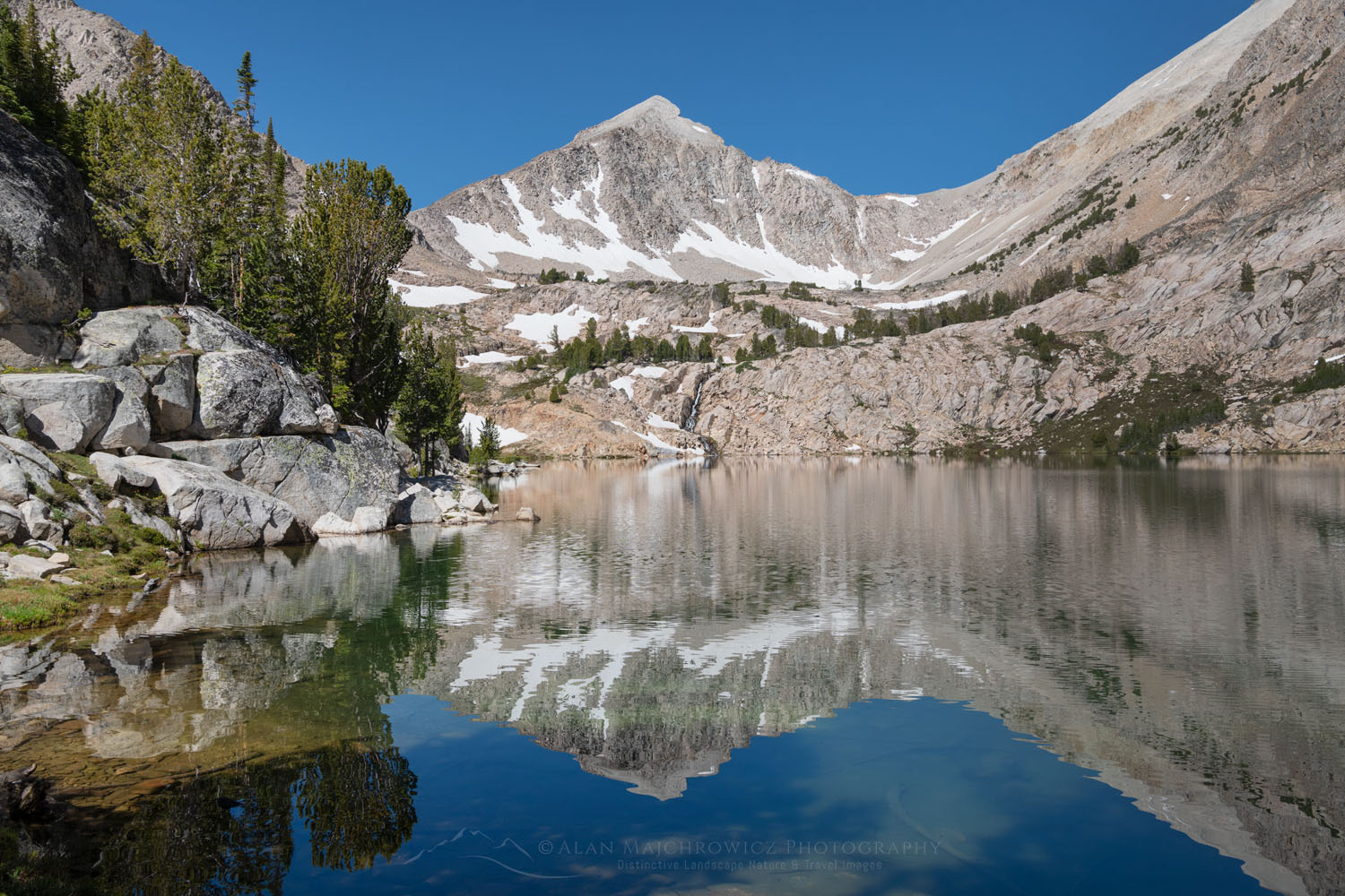
Sapphire Lake White Clouds Wilderness IdahoBig Boulder Lakes #68917  Purchase

Sapphire Lake and the Upper Basin

Finally, in the right basin, all traces of paths vanished. However, by now I was in the subalpine and the terrain was open with easy route finding. After a leisurely walk over granite slabs and past several lakes, Sapphire Lake finally spread in front of me. Locating a prime spot with a view I set up camp and took it all in.

There are six lakes in the basin and multiple ponds and tarns, all with their own special character. Cirque, Sapphire, and Cove Lake are the biggest, and in my opinion, Sapphire is the most scenic. Of course, since I was here for photography so scouting out all of them was essential.

David O. Lee Peak, Cecil D. Andrus-White Clouds Wilderness IdahoDavid o’ Lee Peak White Clouds Wilderness  #68945  Purchase

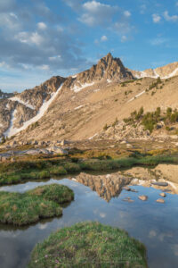
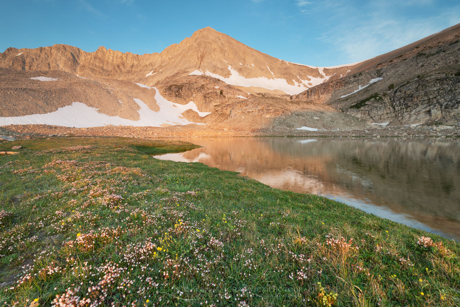
After Sapphire, Cirque Lake appeared to offer great photographic potential. At about 10,500′ Cirque Lake was a gem sitting at the feet of 11,342′ David O. Lee Peak. In contrast to the surrounding granite, David O. Lee is composed of limestone, the rock that gives the White Clouds their name.

Indeed, although Cirque Lake was a grand scene it was set in a stark rocky alpine basin. Only on one section of the shoreline, there were some nice mosses and carpets of wildflowers. The landscape did have photographic potential, but only in the right light. There are a couple of great other options for exploring Cirque Lake.

O'Calkens Peak Slide Lake, Cecil D. Andrus-White Clouds Wilderness IdahoNeck Lake O’Caulkens Peak #68904 

One would be to hike up the easy moraine on the southeast side of the lake. At the top, you’ll be in a truly alpine environment of rock and snow. Tucked away below the wall of the cirque are The Kettles, a small group of tarns, and classic examples of past glacial activity. Along the way up the moraine, you’ll also get great views down to the basin and other lakes.

Another option would be to ascend the slope on the north side of the lake to a small pass. From the pass, you could look across to O’Caulkens peak at 11,487′ and down to Neck Lake in the upper valley I accidentally ended up on the second day. Or you could keep going higher to another pass looking down the west side of the White Clouds. For the truly ambitious a climb to the summit of David O. Lee Peak is possible.

Big Boulder Lakes Basin, White Clouds Wilderness IdahoBig Boulder Lakes #68955 Purchase

A White Clouds Wilderness Post Trip Treat

After exploring and photographing Big Boulder Lakes Basin it was time to head out. Indications of changing weather and approaching storms put an end to my first visit to the White Clouds Wilderness. I was toying with the idea of moving south to check out Boulder Chain Lakes Basin, but the change in weather ruled it out. Hopefully next summer I’ll be able to return and explore and photograph that section.

I should note here since my main goal on backpacking trips is photography my trips are a bit different than that of other backpackers. Others may enjoy covering many miles, being on the move from sun up to sundown. On the other hand, I usually have a goal of allotting a generous amount of time in one area for photography. So in this instance moving to the Boulder Chain Lakes would allow only one brief day for photography. From all indications at least two to four days would be needed.

West Pass hot springs, East Fork Salmon River IdahoWest Pass Hot Springs  #68887

One of the great perks of hiking in central Idaho is the abundance of natural hot springs. There is a huge variety available for the avid soaker, from roadside pools to remote backcountry springs. In this instance, my trusty guidebook, Hot Springs in the Pacific Northwest, pointed to West Pass Hot Springs, not far away on the same access road.

West Pass hot springs, East Fork Salmon River IdahoWest Pass Hot Springs  #68886 

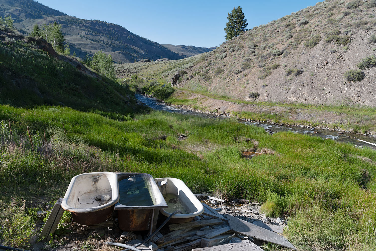
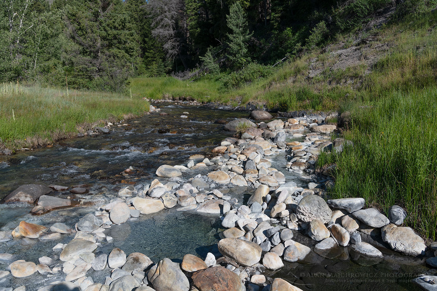
West Pass is about as remote as you can get by vehicle, about 25 miles down a forest service road. The springs flow from a hillside just above the East Fork Salmon River. Hot water is diverted into three strategically placed bathtubs. You can also try soaking in a few riverside pools. At any rate, having a good hot soak at the end of a multi-day backpack is a treat that can’t be passed up!

Cirque Lake, David O. Lee Peak, Cecil D. Andrus-White Clouds Wilderness IdahoDavid o’ Lee Peak White Clouds Wilderness  #68929   Purchase

If You Visit Big Boulder Lakes, White Clouds Wilderness

Distance from trailhead to Sapphire Lake:  about 9 miles
Elevation Gain:  about 3600′
Difficulty:  Moderate-Difficult
Red Tape:  No permits are needed

The Livingston Mill Trailhead is located about 58 miles from Stanley Idaho. Take U.S. 75 37 miles northeast from Stanley to East Fork Road. Go another 17 miles to Big Boulder Creek Road, and finally another 4.3 miles to Livingston Mill. West Pass Hot Springs is another 18 miles further on East Fork Road. Check out Hot Springs in the Pacific Northwest for a detailed description.

The small scenic town of Stanley Idaho makes a great base for trips into the Sawtooths. Lodging, groceries, restaurants, outdoor gear stores, and a great bakery are in town. There are also many campgrounds in the vicinity.

David O. Lee Peak, Cecil D. Andrus-White Clouds Wilderness IdahoDavid o’ Lee Peak White Clouds Wilderness  #68943  Purchase

Leave No Trace

And now for a short lecture. As I’ve been saying in previous posts, don’t even think about visiting this or any other wilderness area unless you are prepared to strictly follow the guidelines of Leave No Trace (LNT). The Wind River Range and all other wilderness areas throughout the world are under incredible pressure from growing amounts of visitors. Please do your part to help preserve these precious areas for future generations!

To learn more about the principles and practicing LNT please take a few minutes to visit the Leave No Trace Center for Outdoor Ethics. Your children and grandchildren will thank you!

Seven Leave No Trace Principles

  • Plan ahead and prepare.                                       
  • Travel and camp on durable surfaces.                 
  • Dispose of waste properly.                                                                         
  • Leave what you find.                                            
  • Minimize campfire impacts (be careful with fire).
  • Respect wildlife.  
  • Be considerate of other visitors.

Photo Gear Used On This Trip

Nikon D850
Nikkor Lens:
14-24mm 2.8G ED
24-70mm 2.8E ED
70-200mm 2.8E FL ED
Gitzo 1532 Tripod
Really Right Stuff B-55 Ball Head
Assorted Lee Graduated Neutral Density Filters
B+H Polarizing Filter
Vello FWM-N2 Remote Shutter Release

If you enjoyed reading White Clouds Wilderness please share it with your friends and family. And make sure you check out my previous post on the Eagle Cap Wilderness Oregon

Some photos appearing in White Clouds Wilderness Idaho are available for Commercial Licensing and Fine Art Prints. Click on the image to purchase, or contact me for more info!


Shore Acres State Park Oregon.

Photo Highlights 2020

Photo Highlights 2020

The infamous 2020, it’ll go down in history as the year everyone, including me, wanted to bludgeon to death, and bury in the molten core of the earth where it would be incinerated into oblivion. Yes, it sucked beyond belief, all the way to its ugly end. Let’s all get down on our knees and pray 2021 will be better!

Despite all the endless lows, I’m sure there were at least a few high points for everyone. For example, during the spring lockdown, Coleen and I got to do a bit of virtual traveling by binge-watching a bunch of British Drama shows on Britbox. After watching Shetland we began to dream of visiting that hauntingly beautiful part of Scotland! Also, we were able to complete a load of long overdue home improvement projects. So all was not lost.

The photography part of the year was certainly very memorable for me. Since most of my subject matter takes me to remote wilderness areas I was able to get out and photograph while respecting safety guidelines. So let’s dig into some of my favorite photos made in 2020.

Vote For Your Favorite

As always feel free to vote and comment on your favorite photos.

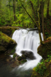
Whatcom Falls Bellingham Washington Photo Highlights 2020# 1  Whatcom Falls Bellingham Washington #68412  Purchase

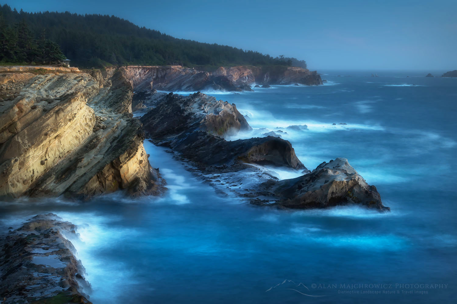
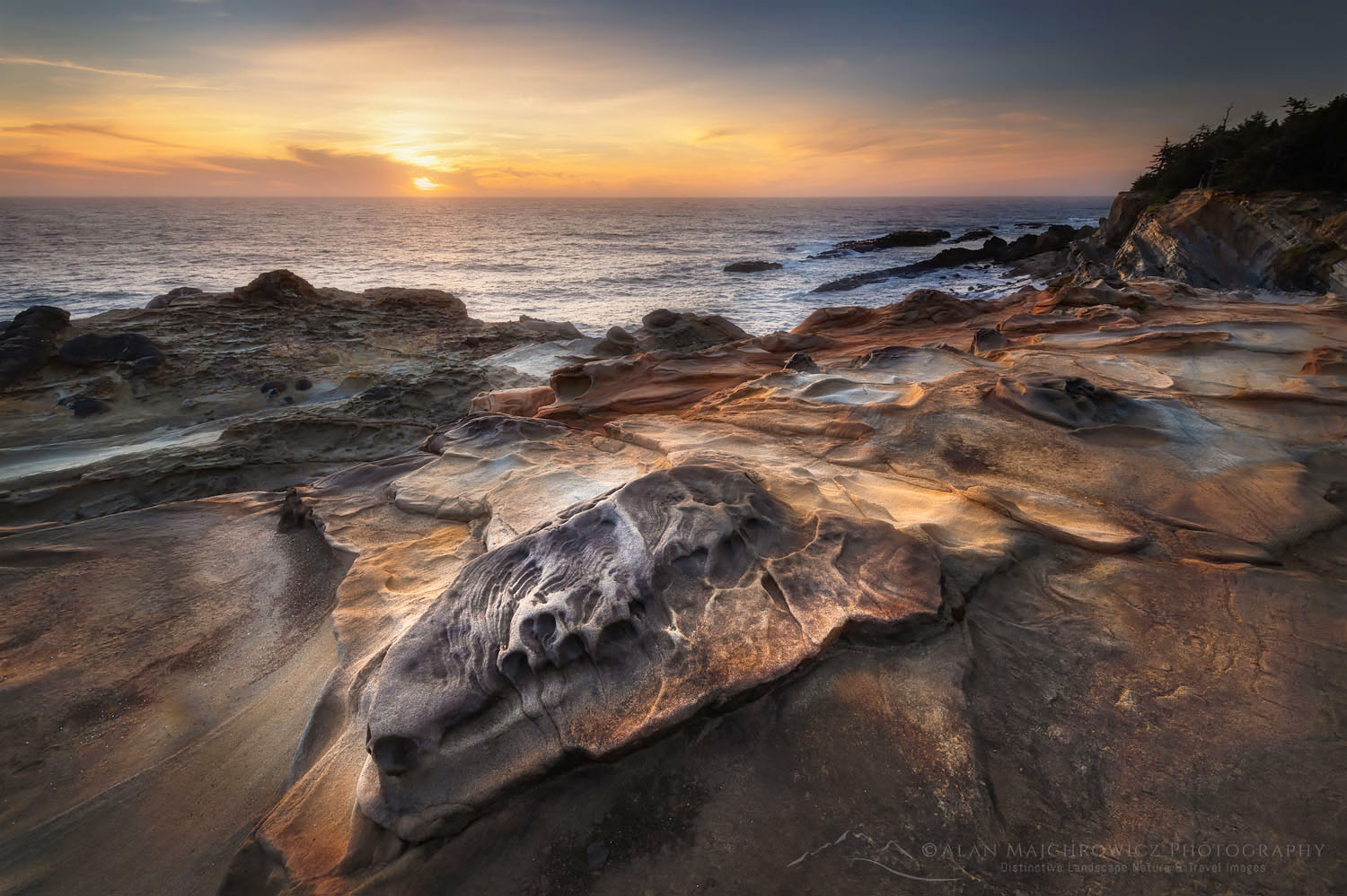
Shore Acres State Park Oregon Photo Highlights 2020#2  Blue hour at Shore Acres State Park Oregon  #68598  Purchase

Shore Acres State Park Oregon Photo Highlights 2020#3  Shore Acres State Park Oregon  #68501  Purchase

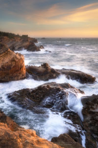
Shore Acres State Park sunset, Oregon Photo Highlights 2020#4  Eroded sandstone formations at Shore Acres State Park Oregon  #68579  Purchase

Shore Acres State Park Oregon#5  Eroded sandstone formations at Shore Acres State Park Oregon  #68560  Purchase

Eagle Cap and Mirror Lake Eagle Cap Wilderness Orergon#6  Mirror Lake Eagle Cap Wilderness, Wallowa Mountains Oregon  #68794  Purchase

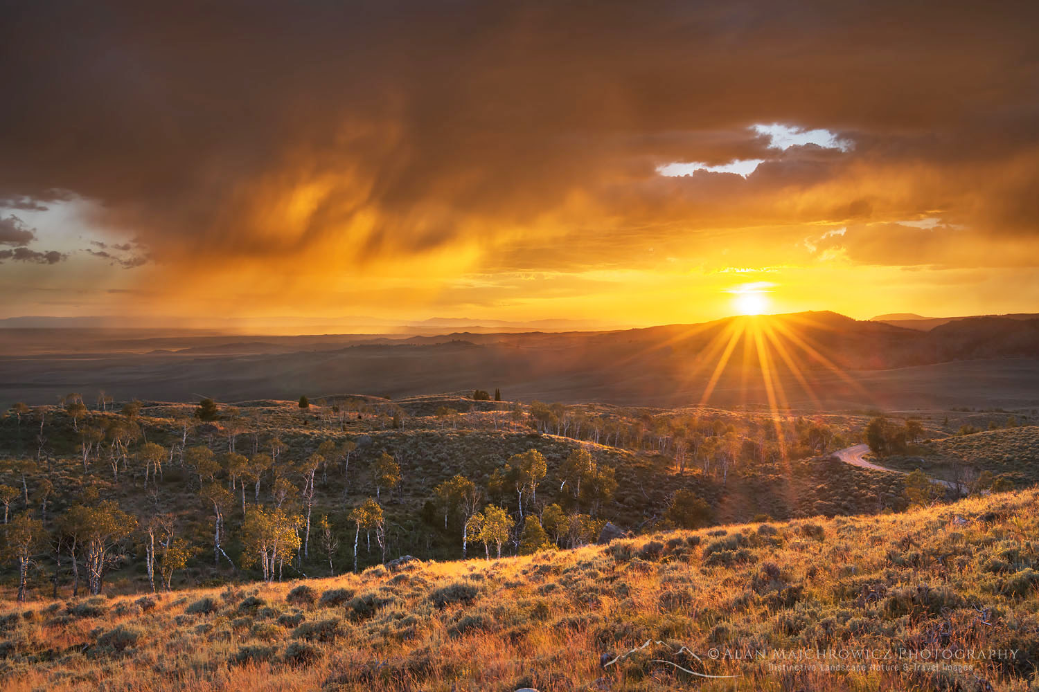
Sunset storm clouds Bridger-Teton National Forest Wyoming#7  Storm clouds at sunset, Scab Creek trailhead, Wind River Range Wyoming #69049 Purchase

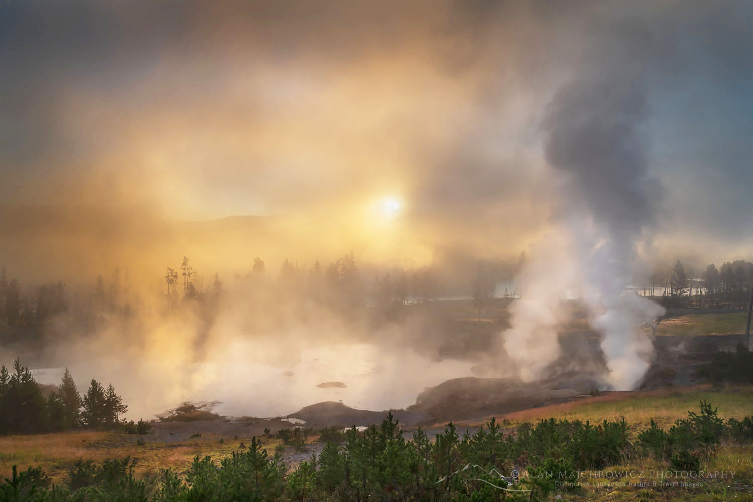
Mud Volcano Yellowstone National Park#8  Clearing fog at sunrise, Mud Volcano Yellowstone National Park #69423  Purchase

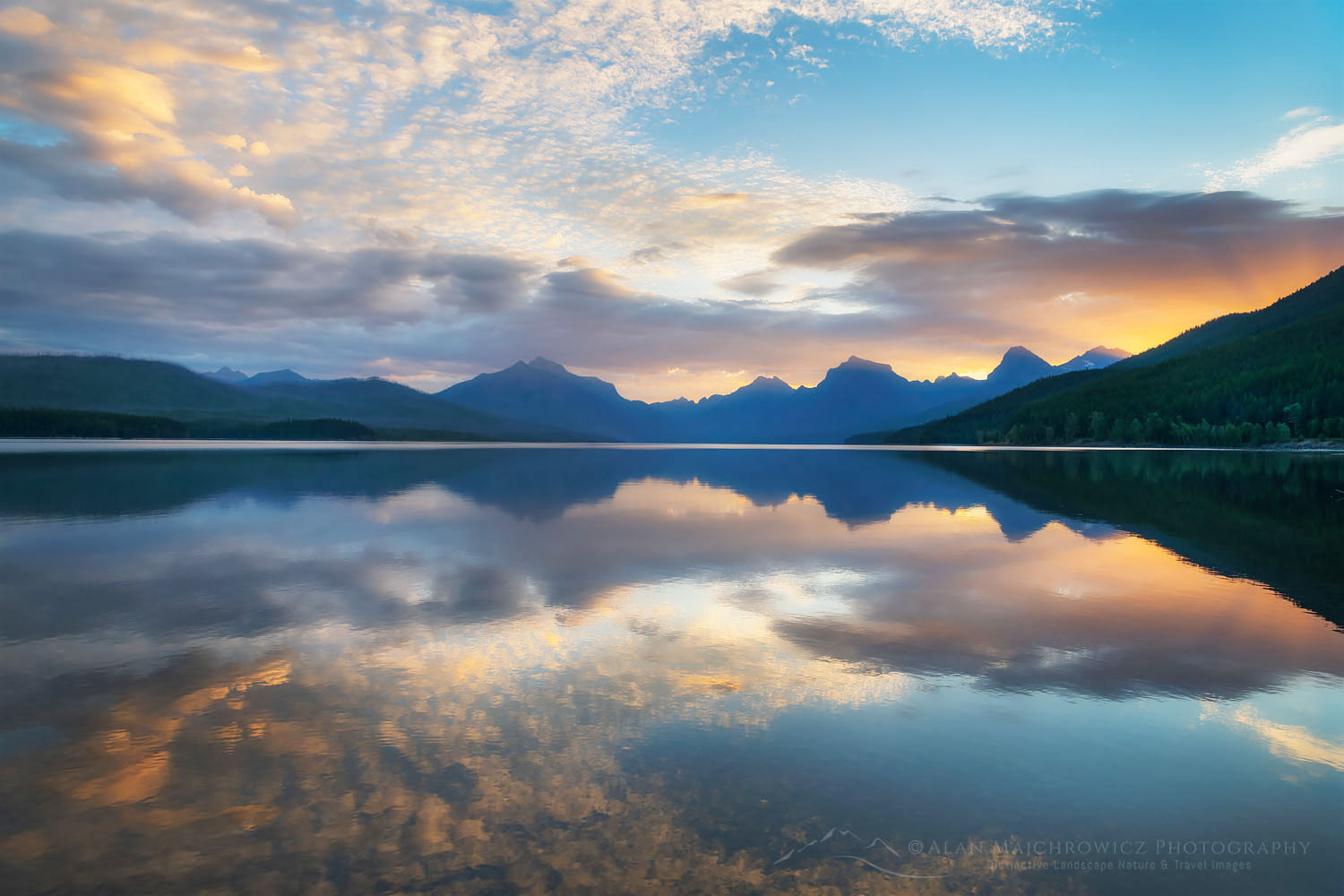
Lake McDonald Glacier National Park#9  Sunrise over Lake McDonald Glacier National Park #69738  Purchase

Boulder Pass wildflowers Glacier National Park#10  Wildflowers at Boulder Pass Glacier National Park #69970  Purchase

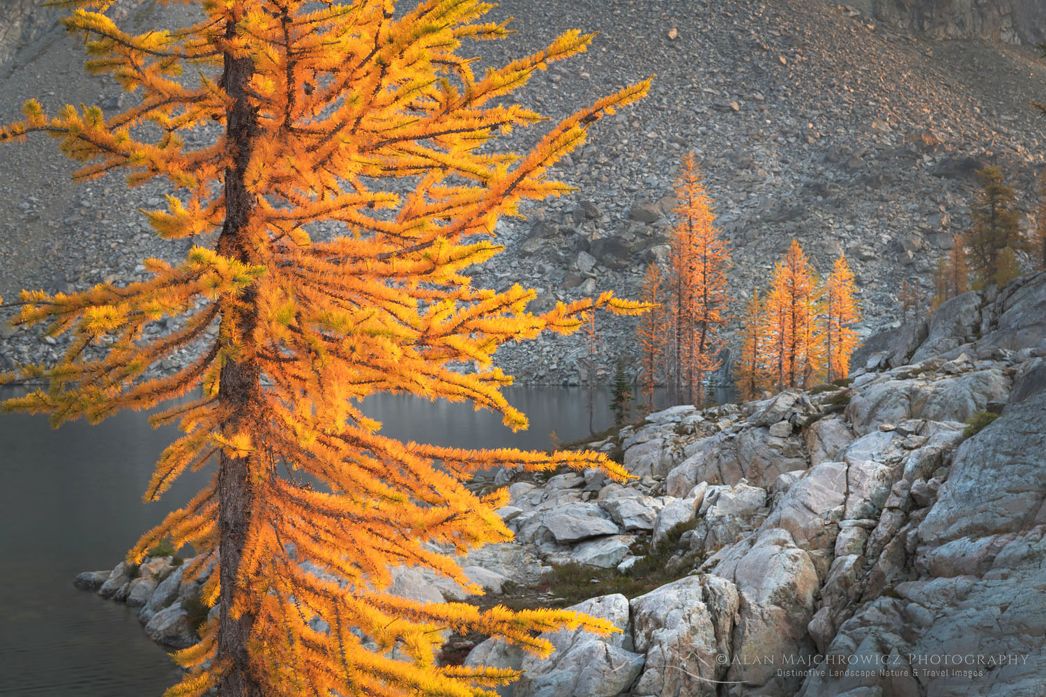
Subalpine Larches North Cascades#11  Subalpine Larches at Stiletto Lake, North Cascades National Park #70206  Purchase

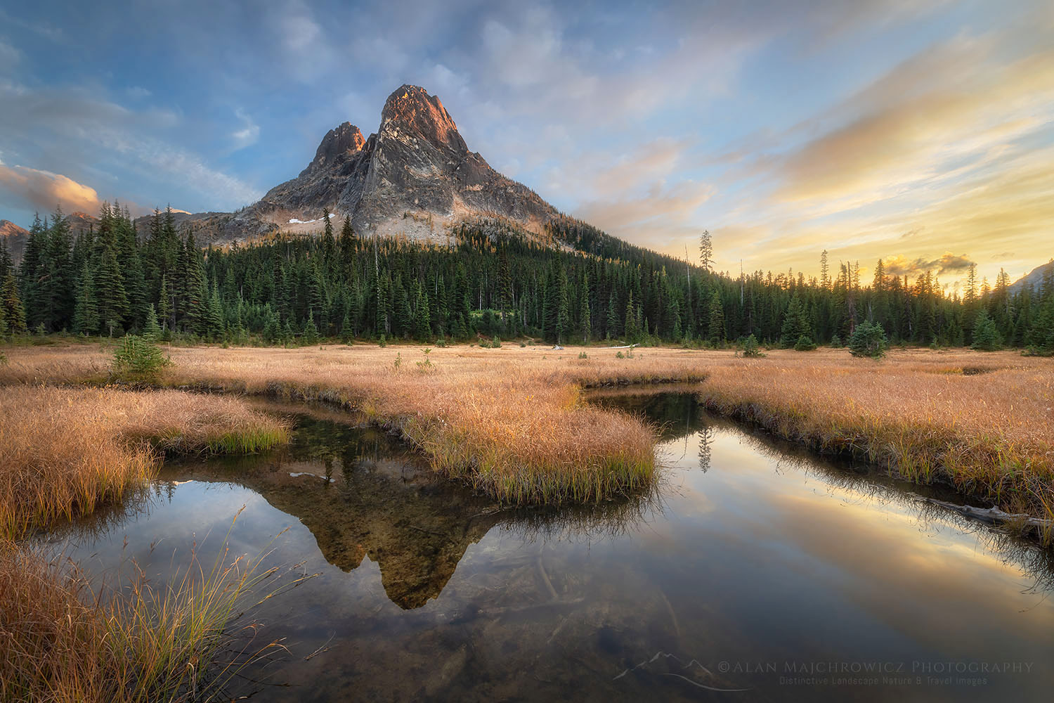
Liberty Bell Mountain North Cascades#12 Sunset over Liberty Bell Mountain North Cascades #70526  Purchase

If you enjoyed reading Photo Highlights 2020 please share it with your friends and family.

Want to learn more? Take your Creative Photography to the next level with  Private Instruction and Guided Photo Tours.

All photos appearing in Photo Highlights 2020 are available for Commercial Licensing and Fine Art Prints. Click on any image to purchase, or contact me for more info! 


Nooksack Ridge in winter North Caascades Washington

Essential Winter Photography Tips

Essential Winter Photography Tips

Nooksack Ridge in winter North Cascades Washington Winter Photography Essential TipsHeather Meadows North Cascades #64748  Purchase

Note: This post is a bit longer than some of my others since there are a lot of winter photography tips to share on the topic.

A successful winter photography trip is all about planning and timing, especially if you’re photographing landscapes. As I outlined in my previous post, winter photography presents some unique challenges to the photographer, but if you can get past them a whole new world rich with rewards will be open to you. Few experiences can match getting out of your tent at dawn after a storm has cleared to photograph a trackless pristine winter scene in perfect light!

Winter Photography Tips, Front Country or Backcountry:

When planning a winter photography trip your location options are the same as the rest of the year, front-country or backcountry. However, in winter a backcountry photography location involves more risk and preparation.

Icefields Parkway in Jasper National Park Winter Photography Essential TipsIcefields Parkway in Jasper National Park #43396  Purchase

Frontcountry locations can be accessed in several different ways. It may be as easy as driving up to a classic viewpoint along a road or in a national or state park. But keep in mind many of those locations may be closed or on unplowed roads in winter.

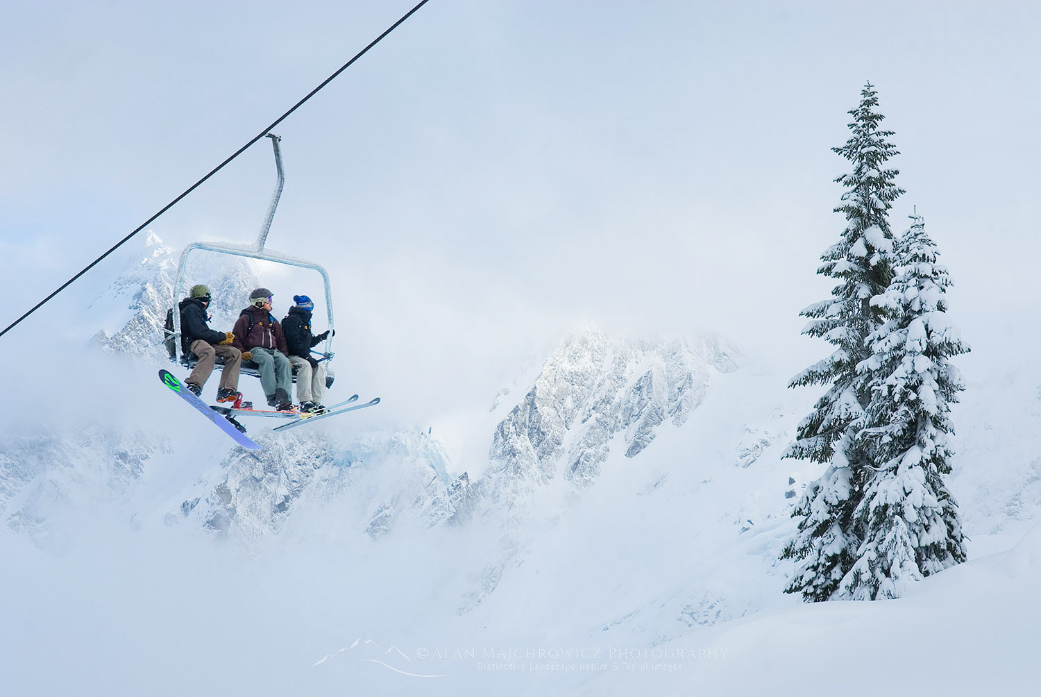
Utilizing ski area chairlifts is a great method for accessing winter landscapes. They can get you higher up to views usually accessible by hiking trails in summer. They’re also a good way to shave off some miles and elevation when starting a backcountry trip. Some ski areas offer a discounted one-trip-only lift ticket. But if you’re a skier a full-day ticket is the way to go. It will enable you to do some early morning photography, have fun skiing all day, and then make one last trip up for evening light. Getting on and off a chair lift can be tricky though when you have a pack full of camera gear.

North Cascades winter backcountry camp Winter Photography Essential TipsNorth Cascades Winter Backcountry Camp  #47098  Purchase

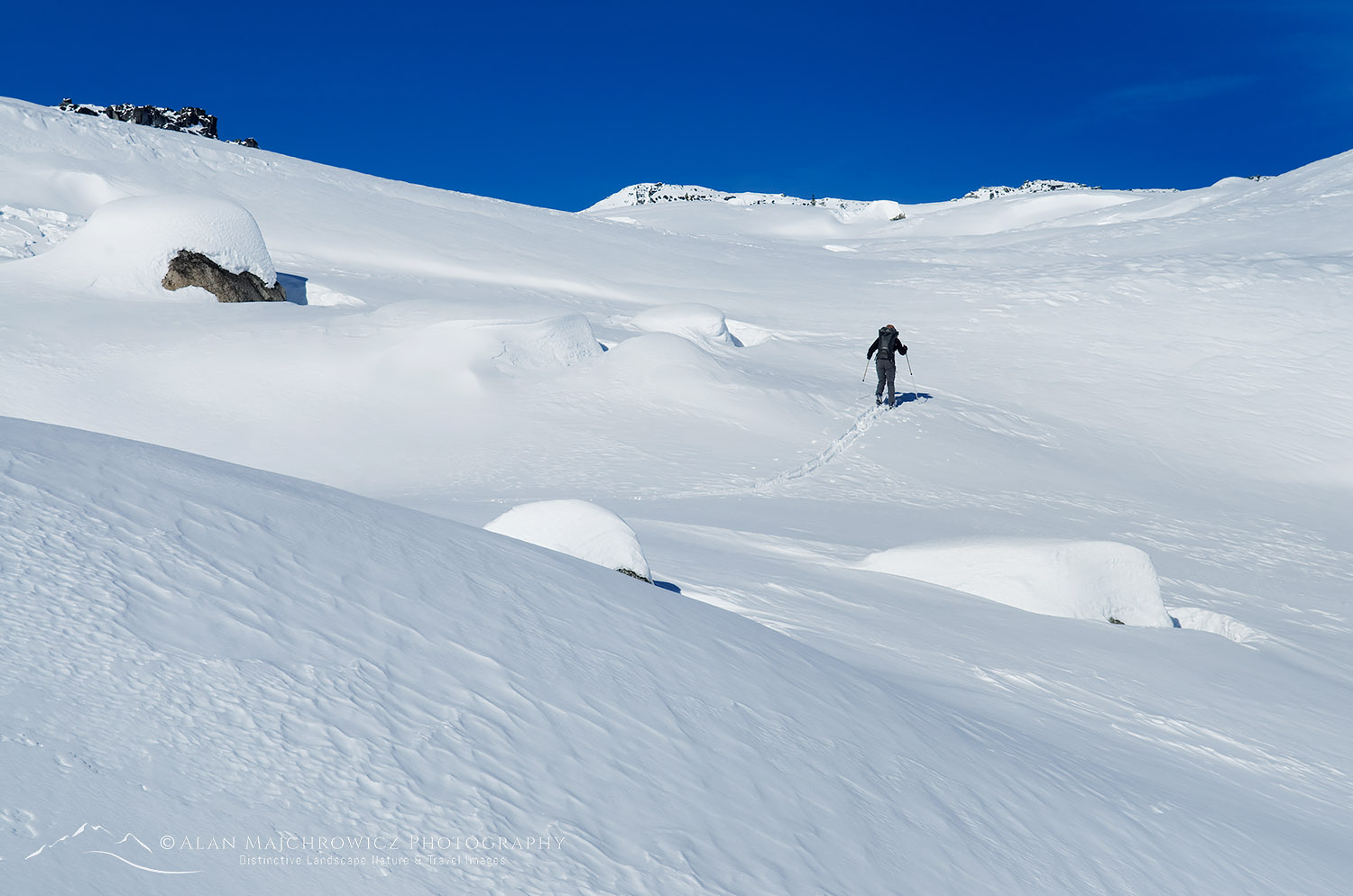
Backcountry locations involve more planning, more gear to carry, and efficient means of travel. Don’t even consider getting into a winter backcountry location by just walking in snow boots. Nothing is more exhausting than trudging through hip-deep snow! Snowshoes, skis, or split-board snowboards are the best options.

All the gear for a full-day backcountry photography trip can be reasonably carried in a mid-size backpack. If you’re planning an overnight trip expect to carry at least 25% more weight on your back. But if that seems doable don’t forget that snowshoes or skis can add up to an additional 5-7 pounds on each foot Any way you look at it you’re in for a good workout!

A well-timed overnight backcountry trip will put you in an enviable position. Photographing a pristine landscape at sunrise just after a fresh snowfall is a magical experience, making it well worth all the effort!

*Essential Tip: To photograph pristine landscapes arrive as early as possible when photographing near ski areas, or other popular locations. After a fresh snowfall skiers will flock to the slopes in hordes. Often within an hour after sunrise slopes will be completely tracked out. The popularity of backcountry skiing has exploded over the years. So even relatively remote areas can be tracked out quickly.

Also, be aware of reckless drivers on roads leading to ski areas. Many skiers throw caution to the wind when it comes to getting first lines.

Wells Grey Provincial Park in winter Winter Photography Trip PlanningWells Grey Provincial Park British Columbia #3683  Purchase

Light:

In winter the sun of course is in a lower latitude. And for photographers that means more opportunities for the golden light and side lighting. Also, since the days are shorter there’s a lot less waiting around in the cold for good light. The golden hour lasts longer in the morning and starts earlier in the afternoon. But even in the late morning and early afternoon, the angle of the sun can still present wonderful photographic opportunities.

As a bonus, you don’t need to get up as early in the morning. But if you’re camping out you’re in for nearly fourteen hours of darkness. You’ll also have less travel time available, requiring some locations to be an overnight trip. Of course, waiting until late winter or early spring means longer days and warmer temperatures. However, during the transitions of seasons, the weather will also be more volatile, which could also provide opportunities for dramatic light.

*Essential Tip: Set your camera meter on manual. Camera meters are set for a base exposure of neutral gray. All that white snow will trick your camera into exposing the scene too dark. There are numerous methods of compensating for this, but for me, the easiest is to set the camera on manual and overexpose +1 stop. Also, always check your exposure on your camera’s histogram view, and adjust your exposure accordingly.

Weather:

Ideally, you’ll want to be on location just as a storm cycle concludes, leaving the trees* and landscape covered in fresh snow, with the remnant clouds bathed in glowing morning or evening light.

*Essential Tip: Trees that are free of snow tend to lose detail and become silhouettes against a snowy white backdrop. Try to get on location before the snow melts off tree branches.

Your first challenge is to become a bit of an amateur meteorologist.  You’ll need to regularly keep track weather of patterns and trends for your desired destination. Make sure you use several sources, such as NOAA, Weather Network, AccuWeather, Mountain Weather Forecasts, etc.

Observe storm patterns and satellite images on weather sites. Watch the direction they come from and where and how long they last. Also, take note of temperature fluctuations before during, and after a storm. Winter storms often start warm and wet, followed by colder dryer conditions. Look at the bigger picture and find out the seasonal patterns of weather. Let’s take a look at why this is important.

Ice encased trees Winter Photography Trip PlanningSnow-encased trees North Cascades  #33243  Purchase

Regional Weather and Snow

 
Pacific Northwest storms often dump huge quantities of heavy wet snow in the mountains. Quickly fluctuating temperatures can change the snow to rain in an instant, or vice versa. This is especially true in November and December, the stormiest months of the year. However, January and February have cooler and more consistent temperatures, with more calm periods between storms. Making this a better time to visit locations such as Mount Rainier or Mount Baker. In March the storms ramp up again with more variable temps.
 
Rocky Mountain states and provinces have a completely different scenario. The big difference is temperature. This far inland it’s much colder and dryer. The snowfall amounts will be a lot less, even in major storms. And even more importantly the snow will be dryer and less likely to accumulate on trees. So your window of opportunity to photograph that fresh snowfall may be much smaller.
 
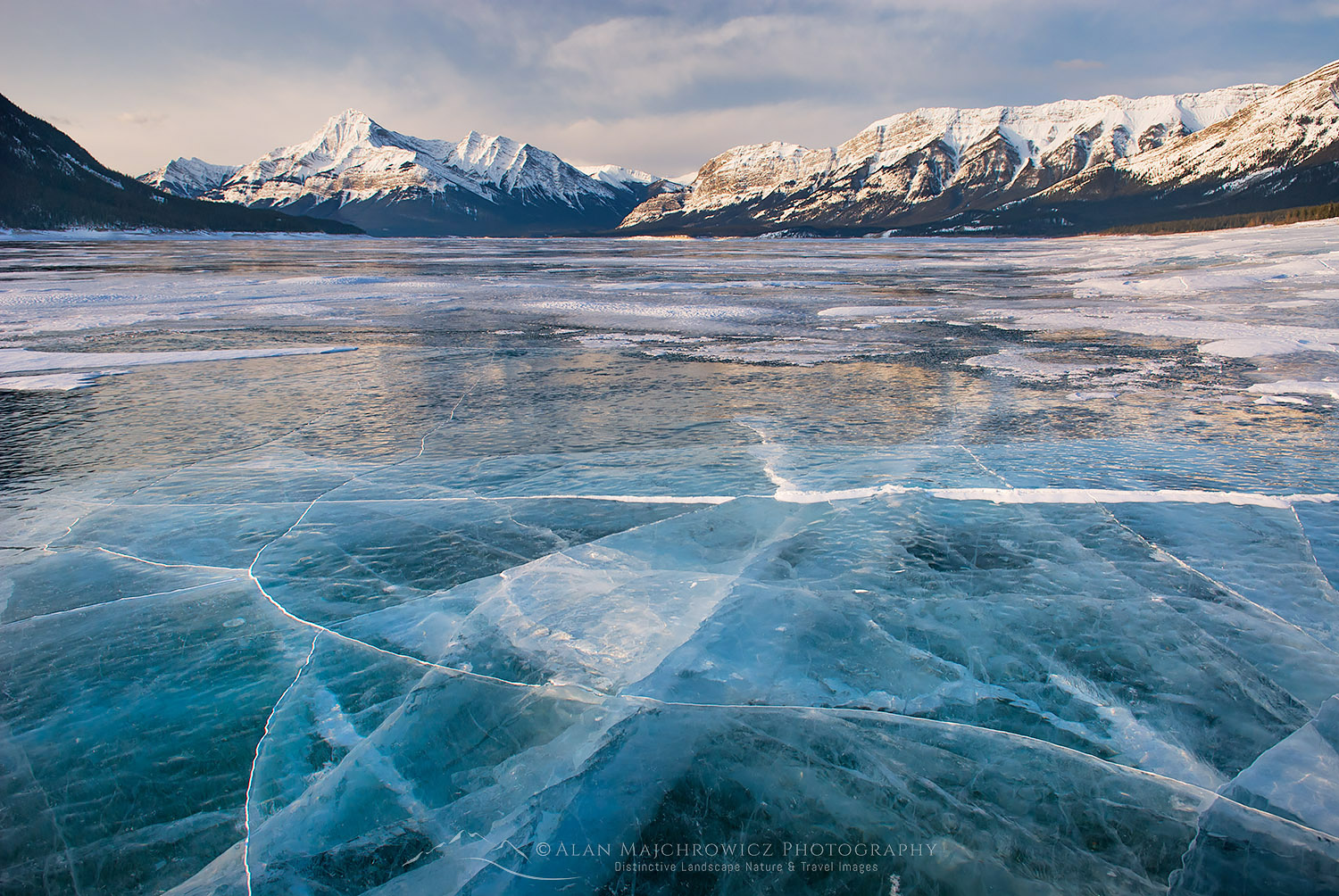
In the Rockies, the cold dry conditions are a great benefit for photographing other winter subjects, such as ice. The consistently colder temperatures freeze waterfalls lakes and rivers, something that is quite rare in the coastal ranges. 

So make sure you educate yourself about the various conditions in different areas, it’ll help get you there at the right time and decide where to go for different subject matter, not to mention when it’s time to hightail it out to the safety of a motel.

Ski Touring Coast Range B.C.Ski Touring Coast Range British Columbia  #50345  Purchase

Route Finding:

Well-groomed summer trails to your favorite mountain vista will be under several feet of snow in the winter. There won’t be any trail markers visible, leaving it up to you to find the route.

White-out conditions are especially dangerous. There will be no visible distinction between sky and snow, and it’s very easy to get turned around in a matter of seconds. When traveling on skis in these conditions there can often be a strange and frightening sensation of sliding backward when you’re moving forwards! Even in good weather, a familiar route in winter will look much different than in summer. I’ve been up to Artist Point by Mount Baker dozens of times in the summer. But it always amazes me how unfamiliar the route looks in winter.

Check with park rangers for special winter routes and advice, or go online to local winter recreation forums for advice. For example, due to avalanche dangers, the Paradise area at Mount Rainier has different winter routes specified by the park service.

I’m a firm believer in using a map and route-finding skills, and not relying on GPS, cell phones, and other electronic gadgets. In winter especially you must develop a new set of skills and common sense to get around safely. It is unbelievably easy for things to go wrong in winter. Dead batteries, or losing your phone or GPS in the snow mean disaster.

Abraham Lake AlbertaAbraham Lake Alberta  #43646  Purchase

Winter Photography Tips, Safety:

Avalanches are the biggest hazard on a winter photography trip in the mountains. Never travel alone in any area that is susceptible to avalanches! If you are caught in even a small slide your chances of getting out alive are very slim. However, the science of learning to identify potential hazards is too complex to explain here. 

Visit your local outdoor recreation store to get information on avalanche awareness and safe winter travel in your area. Most likely they will also offer avalanche safety courses or direct you to an organization that does. A good short course will go a long way in keeping you alive and safe. Plus you’ll have fun and probably meet some future travel partners.

Afterward, and before heading into the backcountry, you’ll need to invest in the tools needed for safe travel in avalanche-prone areas. Namely an avalanche beacon*, avalanche probe, and shovel. Expect to pay anywhere from $350-$450 for all three items. Most outdoor retailers sell these items both separately and in a package, which offers a bit of saving on cost.

*Do Not purchase a used beacon that was manufactured before 1990! These older beacons use a different frequency and are not compatible with newer models.

Also, exercise extreme caution on lakes or streams. A snow-covered surface may hide dangerously thin ice.

Frostbite and Hypothermia are the next biggest hazards of photographing in winter. Landscape and nature photography practically requires sitting around in one place waiting for the right lighting conditions. This alone is an invitation to hypothermia. But remember, hypothermia is not limited to winter conditions. It can occur in temperatures of 50º and even higher in windy wet conditions.

When you’re working up a sweat hiking or skiing it is very easy to quickly lose heat and become chilled when resting. Even on a sunny day. Unless you quickly put on dry clothes or an insulating layer hypothermia can quickly set in. Learn what the signs are and act quickly to get warm.

Frostbite or frostnip are serious concerns anytime the temperature gets below freezing. Fingers and toes are most susceptible. Tight-fitting boots and gloves are the biggest causes since they hinder crucial circulation. Tingling numbness and loss of feeling are danger signs.

To prevent both hypothermia and frostbite it is essential to stay dry and wear properly fitting clothes. Keep your core body well insulated and warm and your extremities will fare better.

Ski lift Mount Baker Ski Area Winter Photography Trip PlanningMount Baker Ski Area  #53513  Purchase

Dress for Comfort and Safety:

Always dress in layers. to stay warm and dry you’ll constantly be shedding layers when active, and adding layers when sedentary.

Baselayers are the foundation. You wear it all day and it keeps body heat in and wicks sweat and moisture away. Merino wool is preferred over synthetics. It stays fresher longer and retains heat better than synthetics.

Midweight layers can be a synthetic sweater or vest, or a lightweight down sweater. Keep in mind that when you work up a sweat down will absorb that moisture, causing it to lose its insulation properties. For that reason, synthetic is preferred for this layer.

Insulated jacket. This is where you’ll want to invest in a good down product. When taking a break or standing around waiting for the light you’ll lose body heat quickly. A nice puffy down jacket or parka will trap that heat and keep you warm and cozy.

Shell Jacket and Pants. These can be either hardshell or softshell, but hard shells are preferred for stormy conditions. Just make sure they are well made and are both water and windproof. A lightweight article without insulation is the best and most versatile. Look for lots of easily accessed pockets and waterproof zippers.

Gloves and hats. I always carry two pairs, a fleece liner glove, and an insulated ski gauntlet glove with leather palms and fingers. Mittens can be better for warmth but they’re difficult for performing minor tasks like buckling and pulling zippers. A good beanie hat is essential to keep your head warm. Use a lightweight version or headband for uphill exertion and a heavier one for sitting around.

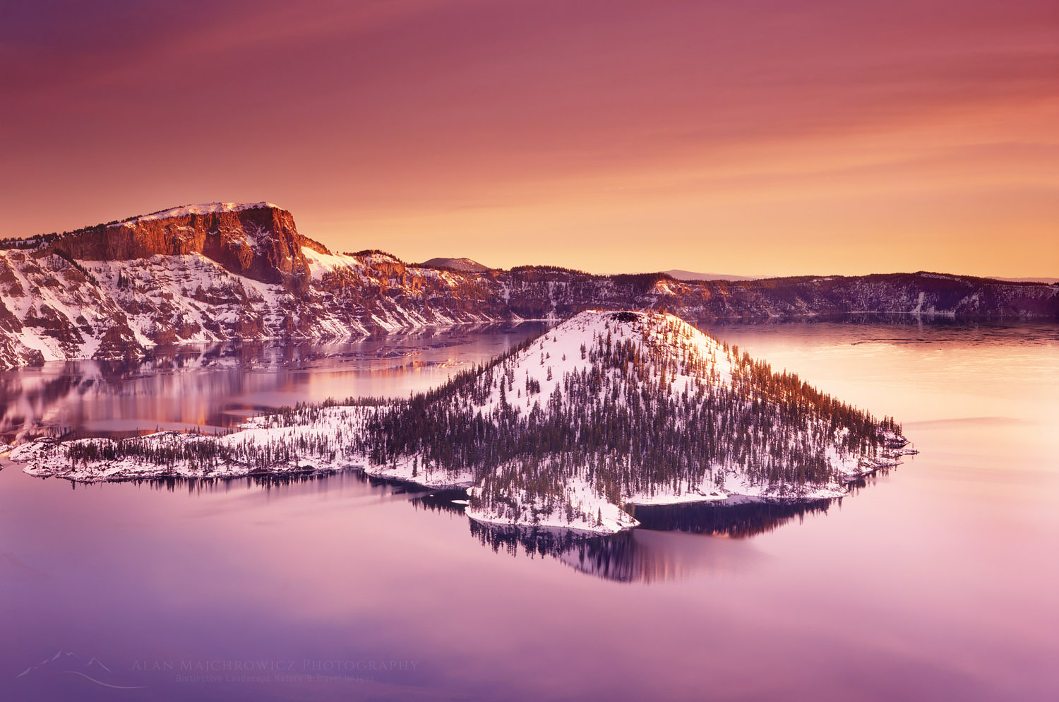
Winter dawn over Crater Lake and Wizard IslandWinter dawn, Crater Lake National Park #3180  Purchase

Winter Photography Tips, Gear:

Keep it simple and organized: Try to keep your gear to a minimum and keep it organized. One of my absolute biggest frustrations with shooting in winter is dealing with buckles, straps, snaps, and zippers. Every item you’re wearing or carrying seems to latch and get tangled onto these fasteners. Trying to cope with the problem is compounded by the necessity of wearing gloves. Try and choose gear that has a minimum of these things and keep important items in easily accessible pockets or compartments.

Keep it out of the snow: When photographing try and lay your pack, spare jacket, or another large item on the snow, then place needed articles on it to keep them dry and in view. It is incredibly easy to drop a filter or lens cap in the snow right in front of your feet and never find it again!

Keep it dry: Bring along several good microfiber lens wipes and or large cotton bandannas. No matter how hard you try things will get wet or snowy and having an absorbent fabric on hand is indispensable.

Keep Batteries Warm: This should go without saying but batteries will quickly lose power in cold temperatures. Modern lithium-ion batteries hold a charge longer and are better than traditional AA or AAA types. Regardless keep them warm in a pocket close to your body.

Keep your camera cold:  Needless to say, your gear will be in cold temperatures for most of the day. Bringing a camera in and out of a car, a warming hut, or a lodge will quickly warm it up, causing harmful condensation to form on the lens and camera body.  If this happens, always wipe your gear dry immediately. Better yet, protect them in plastic ziplock bags before bringing them inside.

Tripods:  Using a tripod in deep snow can be challenging. Manfrotto makes tripod snowshoes that will attach to the legs of most tripods. I have a pair of these but have never used them simply because they’re a pain to attach and don’t work well in all the various snow conditions I encounter.

When setting up my tripod I cautiously spread the legs only about halfway or less and sink them into the snow almost monopod style. Since this position isn’t very stable I’ll use a remote to trip the shutter. Spreading the legs out increases your chance of bending, jamming, or breaking them. Be warned that this may not be the best technique but it works for me.

Handle with care: The lower the temperature goes the more susceptible everything is to breakage. Plastic items are the biggest concern, but metal can also become brittle. Never overtighten anything! Not only is it an invitation to breaking but it will be more difficult to unfasten when wearing gloves.

Filters: Polarizing filters should be used judiciously. It’s very easy to darken a blue sky too much against a white landscape. And just like using them throughout the rest of the year, be careful of vignetting on a wide-angle lens.

If you regularly bring graduated neutral density filters you’ll probably use them in a reverse manner in winter. Meaning the land will need to be darkened instead of the sky. I rarely find a need for these filters in winter and never take their added weight into the backcountry.

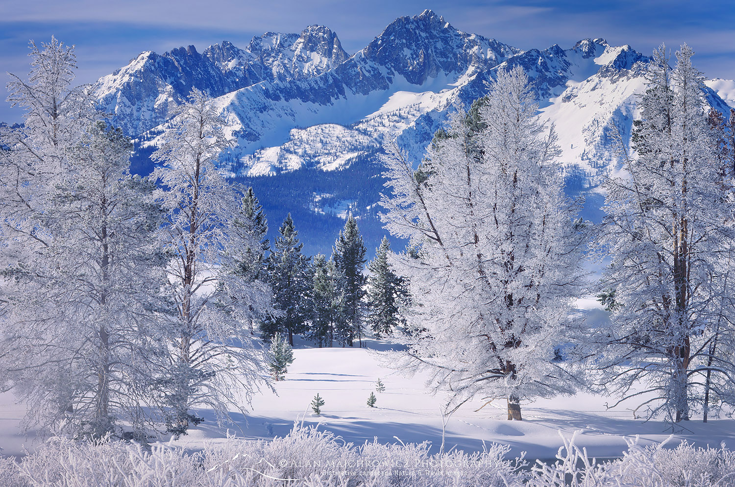
Sawtooth Mountains in winter, Idaho Winter Photography Essential TipsSawtooth Mountains Idaho #6211  Purchase

Helpful links for Winter Photography

Canadian Avalanche Centre

For more Winter Photography Tips check out :
Gearing Up For Winter Photography

Ever wonder what it’s like photographing landscapes and nature for a living? Check out my blog post:
What is it like to be a Professional Landscape Photographer?

If you enjoyed reading Winter Photography Essential Tips please share it with your friends and family.

Want to learn more? Take your Creative Photography to the next level with  Private Instruction and Guided Photo Tours.

All photos appearing in Winter Photography Essential Tips are available for Commercial Licensing and Fine Art Prints. Click on any image to purchase, or contact me for more info!

Winter Photography Tips
Trophy Mountains, Wells Grey Provincial Park British Columbia

Gearing up for Winter Photography

Gearing up for Winter Photography

Trophy Mountains, Wells Grey Provincial Park British Columbia Winter PhotographyTrophy Mountains British Columbia  #3962  Purchase
With fall photography wrapping up most of us are beginning to dream of plans for next year’s photography trips. But what about the next several months? There are plenty of photography opportunities and subjects during the winter months too. But I’m not talking about heading down to the Southwest for desert photography. I’m talking about the cold snowy areas of National, State, and Provincial Parks, many of which are nearly deserted in the winter months.

But before going into tips and techniques of photographing in winter let’s talk about how to stay safe and comfortable.

Winter photography is more challenging than photographing in warm summer weather. However, with a little preparation and the proper gear, it can be safe, comfortable, and rewarding. In this post, I’ll outline some tips on gear, safety, and getting around in winter.

All the various items of winter clothing and gear are generally pretty pricey, but you need to get the best you can afford. The key here is to not skimp on quality. Some items that perform great in summer easily break or break down in cold temperatures. In particular, gas canister stoves are nearly useless in cold temperatures.

Bow Valley in winter, Banff National Park Winter PhotographyBow Valley Banff National Park #43869  Purchase

Winter Photography Clothing:

  • The rule in outdoor safety is cotton kills. Cotton has no insulation properties, leaving you vulnerable to hypothermia. And when cotton is wet it is nearly impossible to dry off in cold temperatures.
  • Merino Wool is your best option for base layers. Unlike traditional wool, Merino wool is softer and isn’t itchy. It’s warm, and comfortable, and stays fresher smelling than synthetics after a few days of wear.
  • Waterproof shell jacket and pants. Look for features such as built-in gaiters, suspenders, articulated knees, hood, and deep pockets with zippers.
  • Down jacket or parka. Absolutely nothing beats down for insulation. Keep it dry and it’ll be your best friend. But get it wet and it’s worse than cotton for insulation. I wear my down jacket when standing around camp or when waiting for the light. However, it’s too warm for heavy exertion, when you risk getting it wet from perspiration.
  • Insulated high-top snow boots. You’ll be trudging through deep snow and standing around a lot. Make sure they fit well. Tight-fitting footwear equals cold feet.
  • Two pairs of gloves or mittens. I have insulated ski gloves with leather palms and fingers and a thinner set of synthetic gloves for better dexterity when working.
  • Hat, sunglasses, and or ski goggles. In addition to the hood on your jacket, it’s wise to bring along a wool or fleece beanie. Also, a good full-face balaclava is essential when it gets really cold and windy. Goggles are great during windier conditions, they provide better visibility and help keep your face warm.
Ski Touring Manning Provincial Park British ColumbiaSki Touring Manning Provincial Park B.C.  #43980  Purchase

Getting Around:

Unless you plan on photographing from your vehicle or on well-packed trails, you’ll need an efficient way to get around in deep snow. How you do that will depend on your goals and location. If you’re photographing in the mountains, you’ll most likely encounter deep snow of varying consistency. In the Pacific Northwest, the snow is heavy, wet, and often over 10′ deep. In the Rockies, the svow tends to be very dry, powdery, and deep. Regardless of which location, it’s no fun post-holing through deep snow in just boots.

  • Snowshoes are a great method for beginners to travel through the snow in a great variety of conditions. They don’t require special skills or boots and are relatively inexpensive. However, don’t assume that you’ll float easily on top of the snow. Unless you’re on a packed trail you’ll be sinking in the snow to some degree, and working up a sweat. If you’re hiking through deep, wet, and heavy fresh snow they’re almost as exhausting as post-holing.
  • Backcountry, Alpine Touring (Randonee), Telemark skis, and Split-Board Snowboards. These are, in my experience, the best and most enjoyable ways to access photo subjects in deep mountain snow. You’ll get around easier and faster, and with much better flotation, even going uphill in steep terrain. Plus you’ll have a blast gliding back to your vehicle. The big downsides to these options are the gear can be expensive, and all of them have a much higher learning curve than snowshoes.
  • Cross-country skis are an option only if you’re on a groomed trail or have lots of experience. These skinny skis are generally too narrow for deep untracked snow and are nearly useless for going uphill. And they don’t turn very well on the downhill.
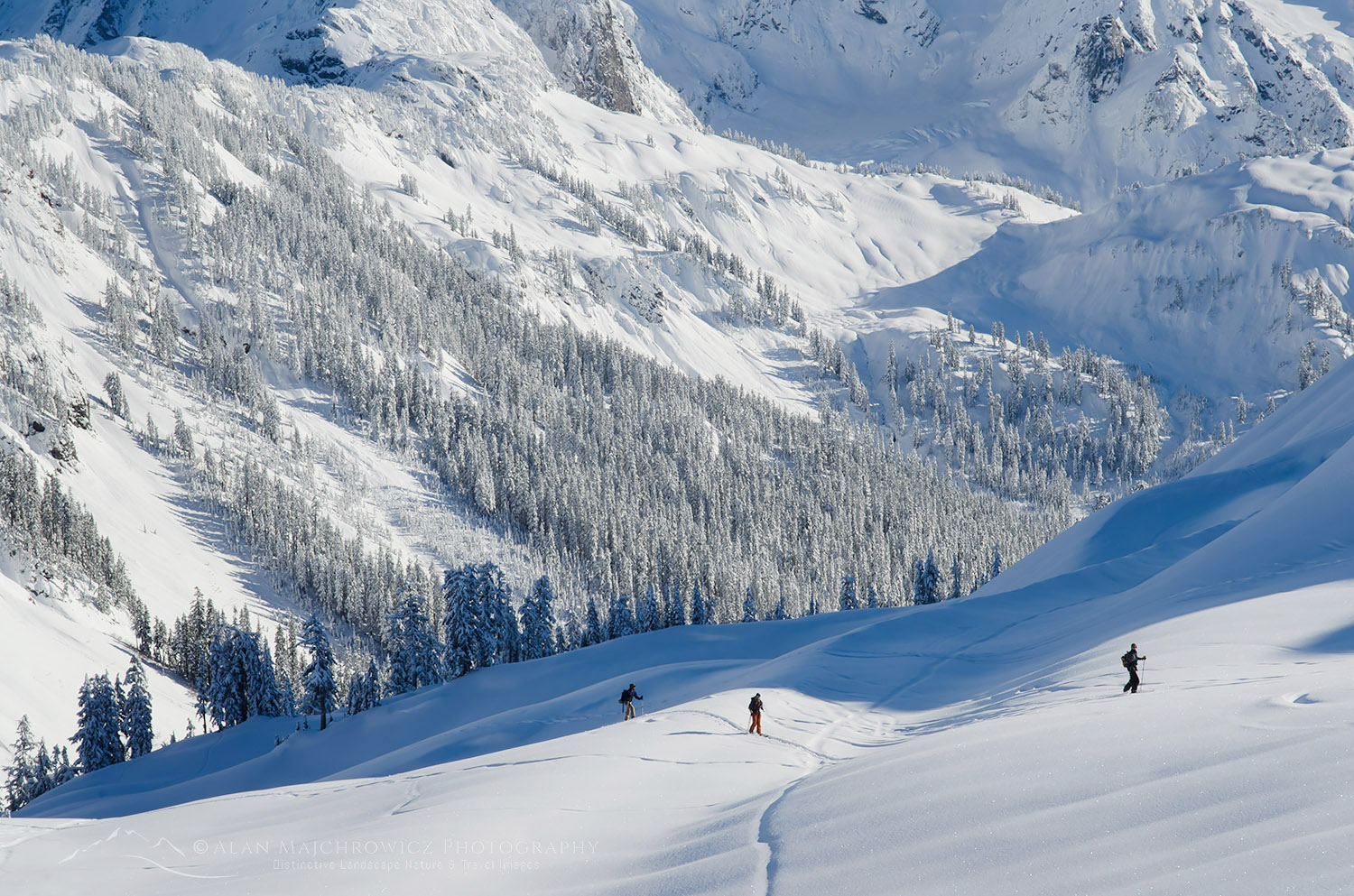
Backcountry skiers North Cascades WashingtonBackcountry Skiers North Cascades #56540  Purchase

Winter Photography Camera Gear Considerations:

In winter you must, of course, care for your camera gear to a greater degree. It’s quite a challenge to stay dry and keep snow off of your gear.

  • A good backpack-style case is essential If you’re going out for more than a few minutes. A good quality backcountry ski pack is a wise investment. Most traditional camera backpacks don’t have enough room for extra clothes, water, snacks, and other essential items necessary for winter travel.

For day trips I suggest finding a quality pack with around 2000-3000 cubic inches of storage. Dedicated ski packs have the advantage of being designed for winter backcountry travel, with room for essential safety equipment, such as shovels and avalanche probes. They are generally more waterproof and have features that can be accessed with gloved hands.

Another good idea is a camera case with a chest harness. This will give you quick access to your camera when snowshoeing or skiing. And it will keep you from constantly unloading your main pack in the snow whenever you come across a subject.

  • Batteries. Always bring extras and have them fully charged before heading out. Today lithium-ion is far superior and more reliable than standard AA batteries. But they are not immune to cold conditions, keep them warm in your jacket if you can.
      • Microfiber cloths and towels. The Hitchhikers Guide to the Universe states “A  towel is about the most massively useful thing an interstellar hitchhiker can have…” This is also true for winter photography. Despite your best efforts, you will constantly be wiping snow and moisture off your gear. Not to mention the constant fogging lens, filters, and camera bodies will get as you handle them. At least one microfiber cloth is essential, but take three for good measure.

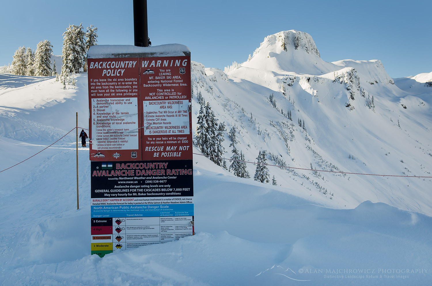
Backcountry Safety warning sign Mount Baker Ski AreaBackcountry Safety Warning Mt. Baker Ski Area #56529  Purchase

Safety Considerations:

There are plenty of risks to consider when photographing in a winter environment.  Among them are traveling in avalanche terrain, hypothermia, frostbite, thin ice on lakes and streams, and getting your vehicle stuck. Nearly all of them can be avoided by careful planting, a good amount of caution, and common sense. Listed below are a few basic items you should never leave home without.

  • A backcountry-style snow shovel is a must. They’re strong, lightweight, and great for a variety of uses. Its main safety purpose is digging out an avalanche victim. But they are also useful for digging out your car after a storm and making a seat or shelter in the snow.
  • Avalanche transceivers and probes are essential if you plan to travel into the backcountry through questionable terrain. However, these items are of absolutely no use if you are not trained in using them.  Always travel with companions and make sure everyone has avalanche rescue and awareness training!
  • Tire chains or other traction devices for your vehicle. Never leave home without these. Conditions can change rapidly throughout the day, and a bare dry road in the morning can have inches or feet of snow on them in the afternoon. Most mountain highways require them during the winter months anyway.
  • Jumper cables and or a portable jump starter are also a must. Imagine charging up camera batteries, a smartphone, and or a laptop while sitting in your car waiting for the snow to stop, only to find out your car battery is dead. Not a good feeling!
  • Gas camping stove and extra food. After a day in the snow and cold, it’s nice to have a hot drink. It can also be a lifesaver if you’re cold and on the verge of hypothermia. I always carry a large propane tank in my truck along with a two-burner camp stove. To keep it going in cold weather I need to replace the regulator on the stove every year or so. For the backcountry, I always carry a white gas MSR XGK. Unlike today’s popular gas canister stoves, this stove performs flawlessly in the coldest conditions.
  • Extra dry clothes and a sleeping bag. If you worked up a sweat, or all your clothes are wet you’ll appreciate changing into dry clothes back at the car. A sleeping bag is essential if a surprise storm prevents you from driving home.

North Cascades Highway closure Winter PhotographyNorth Cascades Highway in winter #56605  Purchase

Coming up next

For even more information on planning an outing, day trips vs. overnight backcountry trips, weather, and other considerations check out:
Essential Winter Photography Tips

If you enjoyed reading Gearing up for Winter Photography please share it with your friends and family.

Ever wonder what it’s like photographing landscapes and nature for a living? Check out my blog post:
What is it like to be a Professional Landscape Photographer?

All photos appearing in Gearing Up for Winter Photography are available for Commercial Licensing and Fine Art Prints. Click on any image to purchase, or contact me for more info!

Eagle Cap and Mirror Lake Eagle Cap Wilderness Orergon

Eagle Cap Wilderness Wallowa Mountains

Eagle Cap Wilderness Wallowa Mountains

Eagle Cap and Mirror Lake Eagle Cap Wilderness OregonEagle Cap reflected in Mirror Lake  #68776  Purchase

As part of the Summer 2020 Photography Tour, my first destination was the Eagle Cap Wilderness in northeast Oregon. Over the years I’ve repeatedly passed over this rugged wilderness while on my way to other destinations further east. Every time I would drive by on Interstate 80 I’d glance at them and promise to visit them next time. This went on for over twenty years! However, on this trip the stars aligned and I finally worked it into the schedule.

The Eagle Cap Wilderness sprawls out over most of the Wallowa Mountains. At over 360,000 acres it is the largest wilderness area in Oregon. That’s quite a lot of territory for such a small mountain range. A couple of other things also sets the Eagle Cap apart from other Oregon wilderness areas. First is its geology. Nearly every other mountain wilderness in Oregon is made up of various forms of volcanic rock. In contrast, the Wallowas contain mostly granitic rock. Secondly, the Wallowas are in a higher range. Many of the peaks are  1000′ – 2000′ higher than those in the Cascade Range to the west. And of course, due to its eastern location, the climate is drier, although the peaks still receive copious amounts of winter snow.

Eagle Cap, Eagle Cap Wilderness OregonEagle Cap #68862  Purchase
Backpacking In The Eagle Cap Wilderness

Since this was my first trip, and I wasn’t sure how long it would be before a return visit, I wanted to photograph in the most scenic locations. After poring over maps, online trip reports, and searching for photos of specific areas I settled on two destinations.

For nearly everyone, the central Lakes Basin is the prime spot for day hikes and overnight trips. This area is where the highest peaks and most of the alpine lakes are situated. Consequently, it is also the area that receives the most visitors. I chose two areas for this trip, and due to practicalities divided them into separate trips. The first would be an extended stay at Mirror Lake and several adjacent lakes, by way of taking the East Lostine River Trail. The second trip was to be a shorter one to Ice Lake via the West Fork Wallowa River Trail. Both trips would ensure excellent photo opportunities. The one uncertainty was the fact that despite it being nearly mid-July there still appeared to be a good deal of snowpack left in the alpine.

Since this was my first trip, and I wasn’t sure how long it would be before a return visit, I wanted to photograph in the most scenic locations. After poring over maps, online trip reports, and searching for photos of specific areas I settled on two destinations.

For nearly everyone, the central Lakes Basin is the prime spot for day hikes and overnight trips. This area is where the highest peaks and most of the alpine lakes are situated. Consequently, it is also the area that receives the most visitors. I chose two areas for this trip, and due to practicalities divided them into separate trips. The first would be an extended stay at Mirror Lake and several adjacent lakes, by way of taking the East Lostine River Trail. The second trip was to be a shorter one to Ice Lake via the West Fork Wallowa River Trail. Both trips would ensure excellent photo opportunities. The one uncertainty was the fact that despite it being nearly mid-July there still appeared to be a good deal of snowpack left in the alpine.

Lostine River Trail, Eagle Cap Wilderness, Wallowa Mountains OregonEast Lostine River Trail  #68765  Purchase
Hiking Into Mirror Lake

This trip was also to be my introduction to the realities of traveling during the COVID 10 Pandemic. Driving up the long, bumpy, and dusty Lostine River Road, where I was to spend the first-night car camping,  I found nearly every campsite was occupied. At the time I thought it was due to being the weekend. Later on, I would find out that where or when didn’t matter, crowds were everywhere. After finding a decent spot I sorted through and prepared all my gear for an early start in the morning.

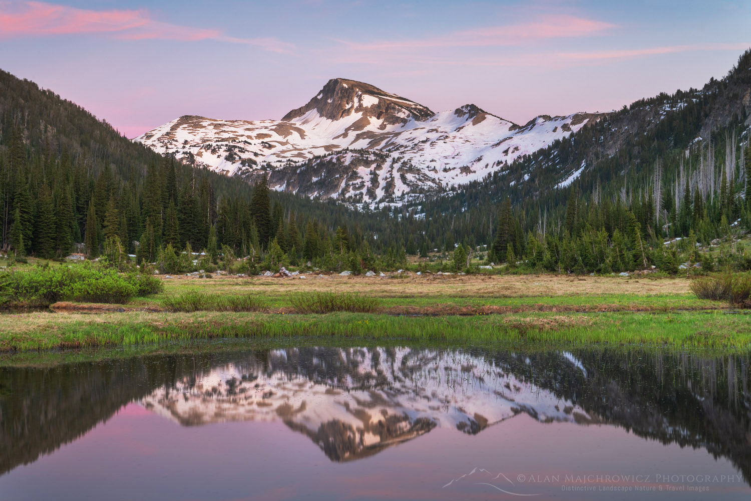
The next day I hit the trail bright and early and brimming with excitement about the views and pictures awaiting me. The first half of the East Lostine River Trail is fairly uneventful and typical of a forest approach hike. The second half, however, is very pleasant and scenic. This is due to the fact it enters a very long nearly flat sub-alpine valley with wide-open views for over a mile. During this section the trail skirts along open meadows, ponds, and the lazily flowing Lostine River. At the head of the valley looms 9572′ Eagle Cap Peak. This is where I first worried about the timing and feasibility of my two trips.

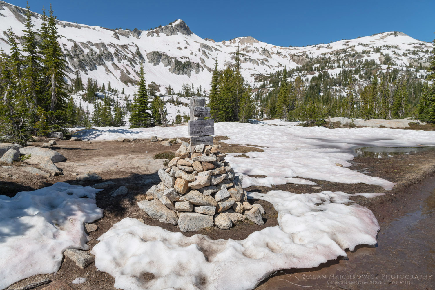
Eagle Cap Wilderness OregonEagle Cap Wilderness Cairn  #68822  Purchase
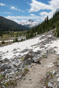
There were still numerous spots of avalanche snow left melting on the trail, and Eagle Cap, and the pass to Mirror Lake was nearly covered in snow. This left me thinking about the chances of successful photography, and of being able to visit all the lakes on my itinerary. The last mile or so to the pass was mostly over deep snow, although it was firm and post-holing was at a minimum. It was a pleasant surprise to find more open ground at the pass. Conditions at Mirror Lake were my main concern though.

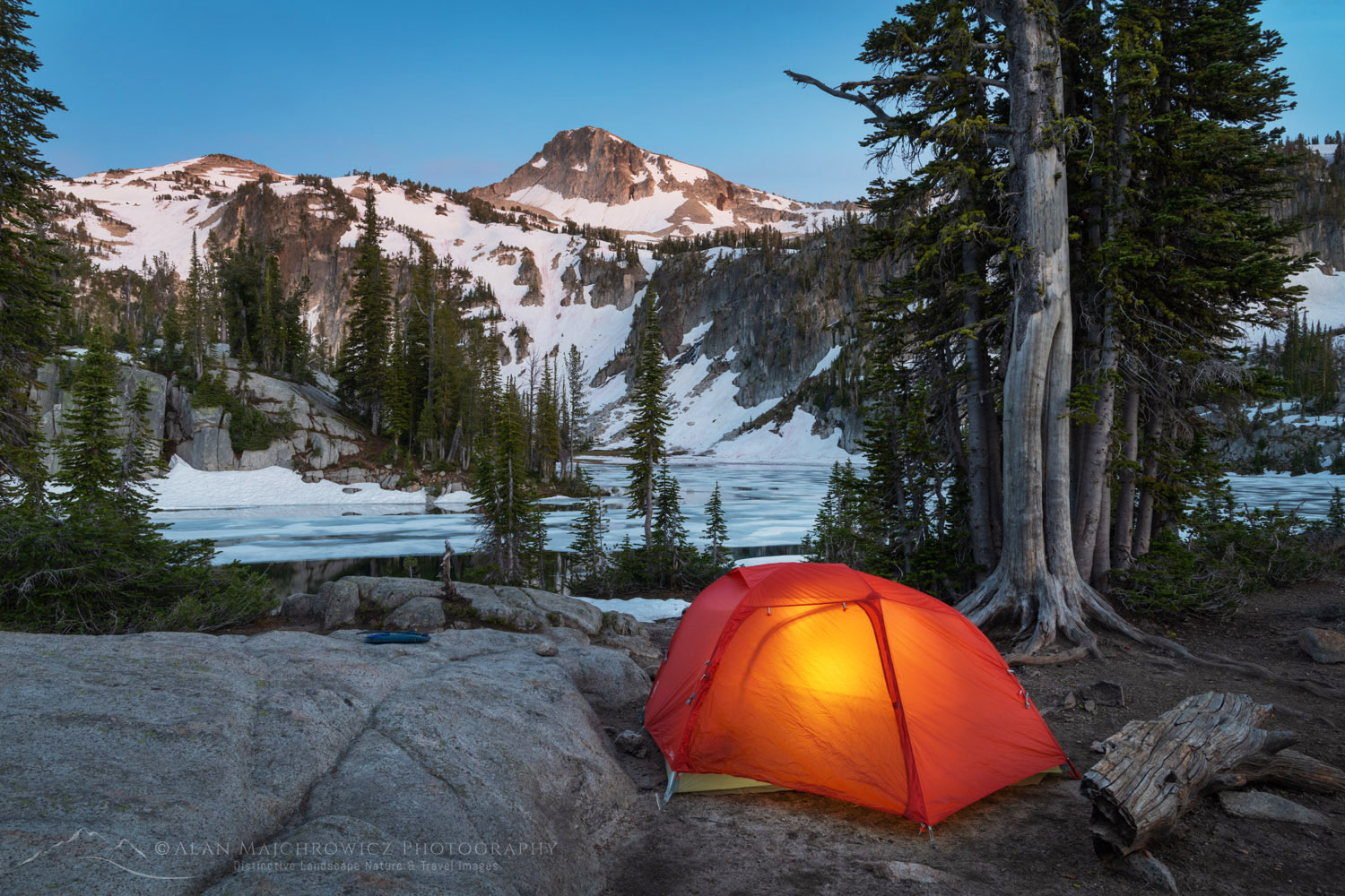
Backcountry camp Eagle Cap Wilderness OregonMirror Lake Camp Eagle Cap Wilderness  #68804  Purchase
Mirror Lake Camping And Photography

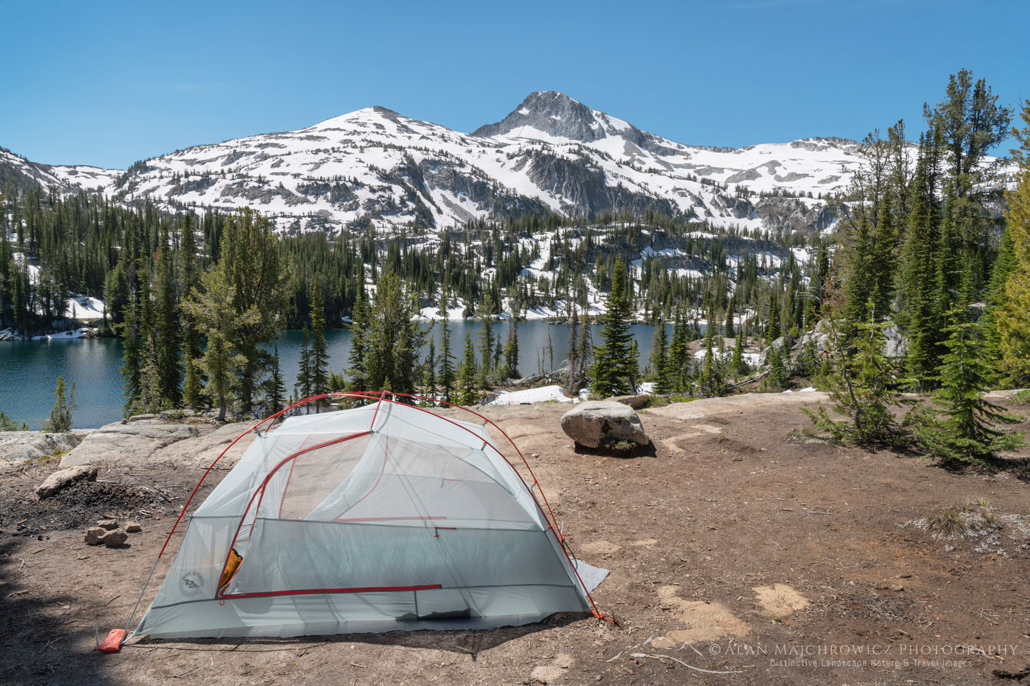
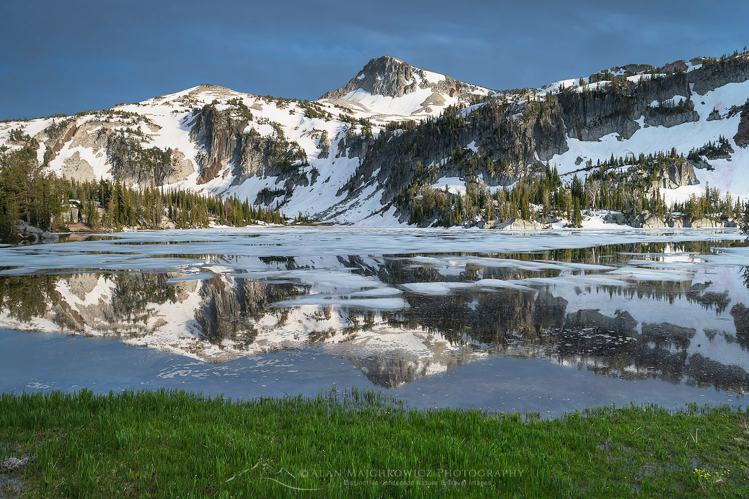
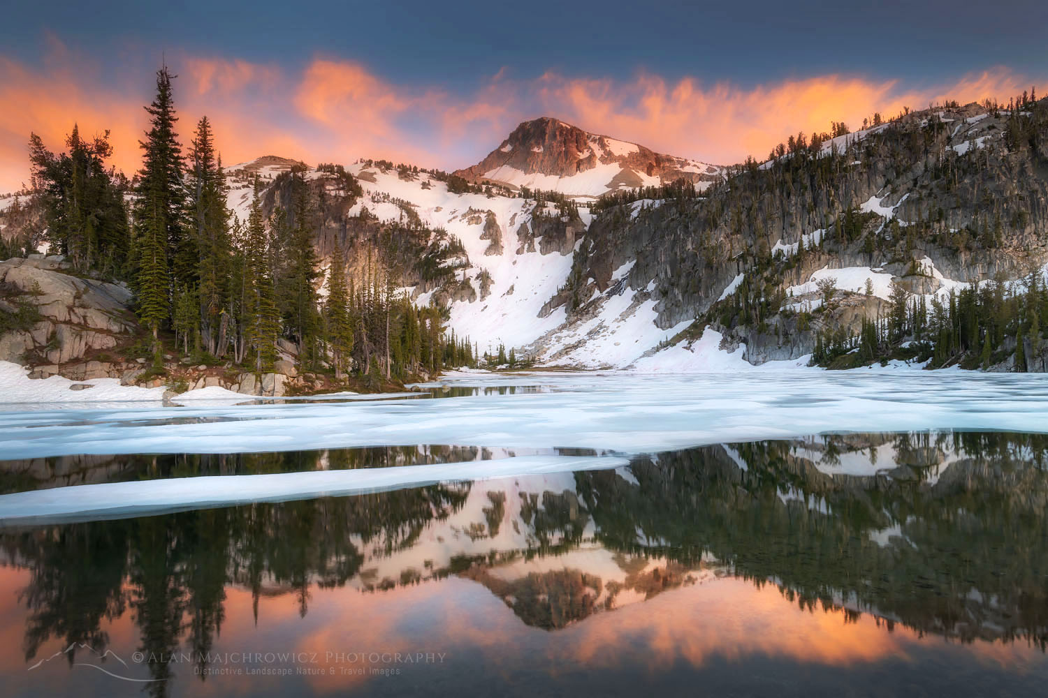
On approaching Mirror Lake at 7595′ I saw that its surfaces had about 75% ice on. Most of the open water was along the shoreline, which was good news for me. Also, the majority of designated campsites were still under snow. However, one especially attractive site near the lake was completely snow-free.

There probably wasn’t a better spot in miles. The view across the lake to Eagle Cap was outstanding, and if the light cooperated I was sure to come away with some great photos. As usual, I spent the rest of the afternoon scouting the area in advance for photo compositions. And while I found a few good ones the one near my camp was clearly the best, at least until all the snow melted.

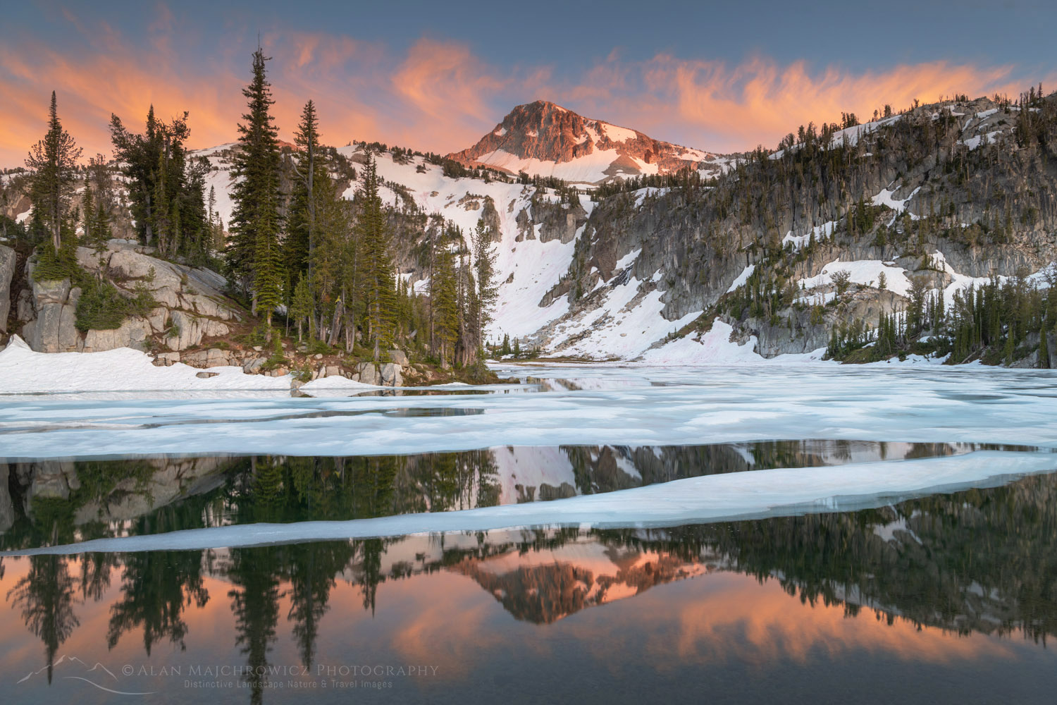
Eagle Cap and Mirror Lake Eagle Cap Wilderness OregonAlpenglow over Eagle Cap  #68793  Purchase
Up until that time I planned to move on the next day over another pass to Glacier Lake. But it was obvious the way would be entirely over snow, and since Glacier Lake was even higher up it was certain to be nearly frozen over. Because of this I reluctantly made the decision not to go, and spend more time in the immediate area instead.

During the afternoon the sky had clouded over,  and I thought I would be out of luck for a photo session with good evening light. But towards sunset, it became apparent that the clouds were starting to clear in the west. Soon sun rays began to stream through and illuminate the lake area and Eagle Cap.

Backcountry camp Eagle Cap Wilderness OregonMoccasin Lake Camp  #68814  Purchase
Moccasin Lake And Out

Since Glacier Lake was now out of the picture I went scouting higher up on the open slopes behind the camp and on the way to the other lakes in the basin. There was still too much snow to make the other lakes worthwhile so I went down to nearby Moccasin Lake. Even though it was only a few hundred feet lower there was considerably less snow. But unfortunately, I found only one established campsite. It was on a rock shelf above the lake with a great view, but it was also sorely overused. This must be the only site in the area since there was enough bare dusty ground for several parties.

I wasn’t as fortunate here with the light and compositions so I took advantage of clear skies to do some night sky Milky Way photography. The next day I decided to move back down the trail to the open meadows along the Lostine River. On my way in I saw some great photo opportunities in this area so I made this my final destination on this hike. After finding a hidden out-of-the-way campsite I was able to make several more evening photos.

Milky Way over Eagle Cap Wilderness OregonMilky Way Over Eagle Cap  #68819   Purchase
The next day I headed out with mixed feelings. On the one hand, I was able to spend some time in one of the best locations in the Wallowas and make some wonderful images to boot. On the other hand, the lingering snowpack prevented me from photographing some other great areas.

Afterward, I drove to Joseph Oregon to have a good meal. I also had to decide if it would be worth doing the second trip to Ice Lake. After agonizing over the decision it was apparent that it was still too early in the season to make it worthwhile for the photographs I had in mind.

So the next morning I began the drive to the second major destination of the summer photo tour, the Cecil D. Andus-White Clouds Wilderness of Idaho. Check back to read a post on that incredible area!

Eagle Cap, Eagle Cap Wilderness OregonEagle Cap Reflection  #68866 Purchase
If You Go:

Round trip to Mirror Lake from Lostine River Two Pan Trailhead:  14 miles
Elevation Gain:  about 2200′
Difficulty:  Moderate
Red Tape:  Northwest Forest Pass or America the Beautiful Pass required
Map: Green Trails Wallowa Mountains Eagle Cap Wilderness Map

The Two Pan Lostine River Trailhead is located about 18 miles south of Lostine Oregon, on Forest Road #8210. The last 10 miles are unpaved and can be rough in several places. Along Forest Road #8210 there are numerous small campgrounds and a few opportunities for primitive dispersed camping.

Note that Mirror Lake is only one of many backcountry destinations from this trailhead. Mirror Lake can be the only destination or be part of extended backpacking trips into the Wallowas. Check out the map in the link above for all the exciting possibilities.

The town of Joseph Oregon at the head of the very scenic Wallowa Valley makes a great base for trips into the Wallowas. It’s also a great jumping-off town for adventures in the Hells Canyon Recreation Area. It has everything you’ll need, from good food and lodging to brewpubs, a distillery, and outdoor recreation stores. There are also numerous local artists displaying their work in Joseph’s galleries. Make sure to check out the Josephy Center For Arts & Culture while you’re there.
Eagle Cap reflected in Mirror LakeEagle Cap Mirror Lake  #68801  Purchase
Leave No Trace

And now for a short lecture. As I’ve been saying in previous posts, don’t even think about visiting this or any other wilderness area unless you are prepared to follow the guidelines of Leave No Trace (LNT). The Eagle Cap and all other wilderness areas throughout the world are under incredible pressure from growing amounts of visitors. Please do your part to tread lightly and help preserve these precious areas for future generations!

To learn more about the principles and practicing LNT please take a few minutes to visit the Leave No Trace Center for Outdoor Ethics. Your children and grandchildren will thank you!

Seven Leave No Trace Principles

  • Plan ahead and prepare.                                       
  • Travel and camp on durable surfaces.                 
  • Dispose of waste properly.                                                                         
  • Leave what you find.                                            
  • Minimize campfire impacts (be careful with fire).
  • Respect wildlife.  
  • Be considerate of other visitors.

Photo Gear Used On This Trip

Nikon D850
Nikkor Lens:
14-24mm 2.8G ED
24-70mm 2.8E ED
70-200mm 2.8E FL ED
Gitzo 1532 Tripod
Really Right Stuff B-55 Ball Head
Assorted Lee Graduated Neutral Density Filters
B+H Polarizing Filter
Vello FWM-N2 Remote Shutter Release

If you enjoyed reading Eagle Cap Wilderness Wallowa Mountains please share it with your friends and family.

All photos appearing in Eagle Cap Wilderness Wallowa Mountains are available for Commercial Licensing and Fine Art Prints. Click on any image to purchase, or contact me for more info!

Purcell Mountains Larches British Columbia

North Cascades Larch Madness

North Cascades Larch Madness

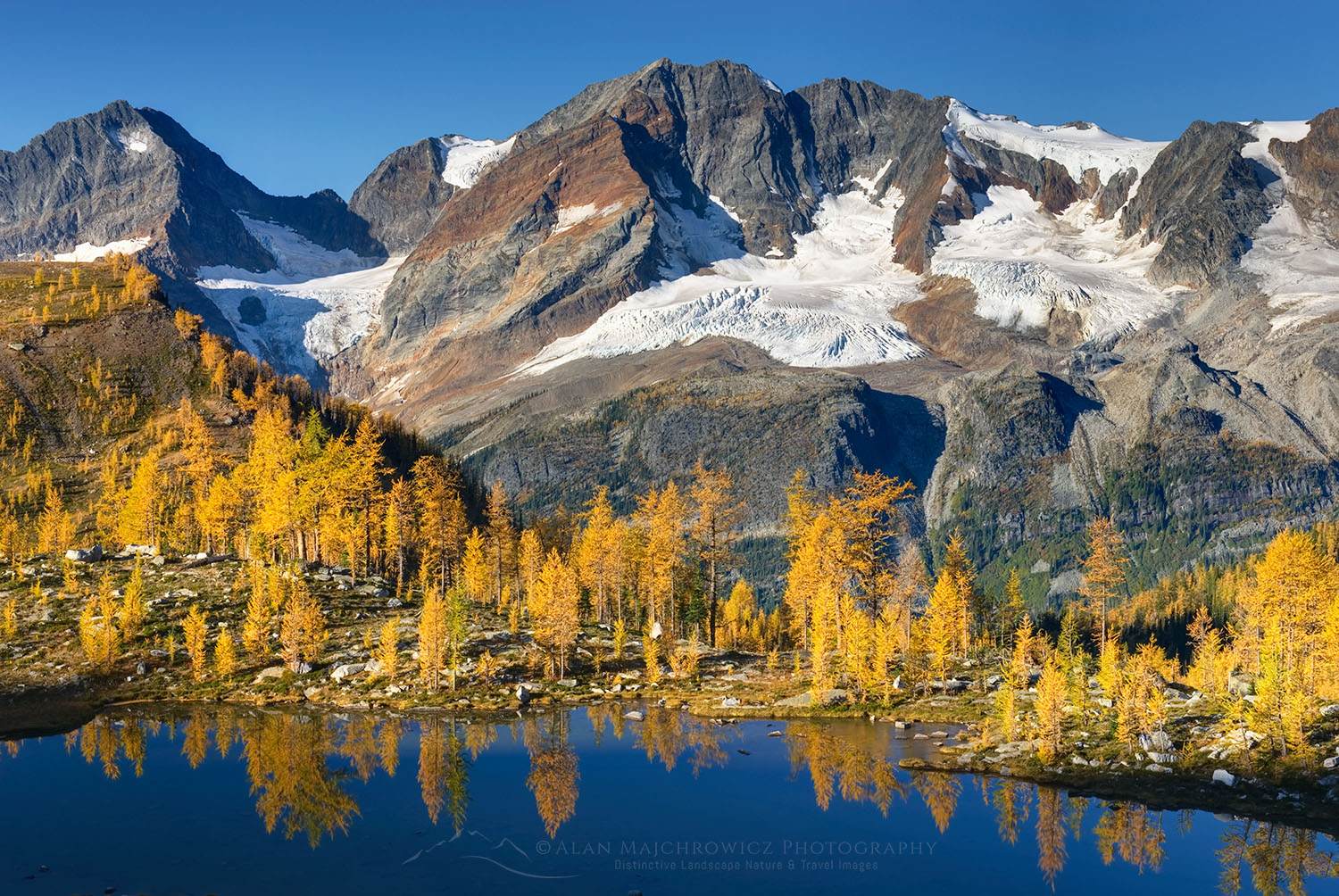
Purcell Mountains Larches British ColumbiaWestern Larch (Larix occidentalis) #25781  Purchase

Just about everybody knows that some of the best fall colors can be found in New England, or for that matter just about anywhere east of the Mississippi. The Colorado Rockies and California Sierra have their own spectacular displays of aspens, And even the Southwest can put on a good show with their cottonwoods. But in comparison, the Pacific Northwest isn’t exactly known for dazzling fall color.

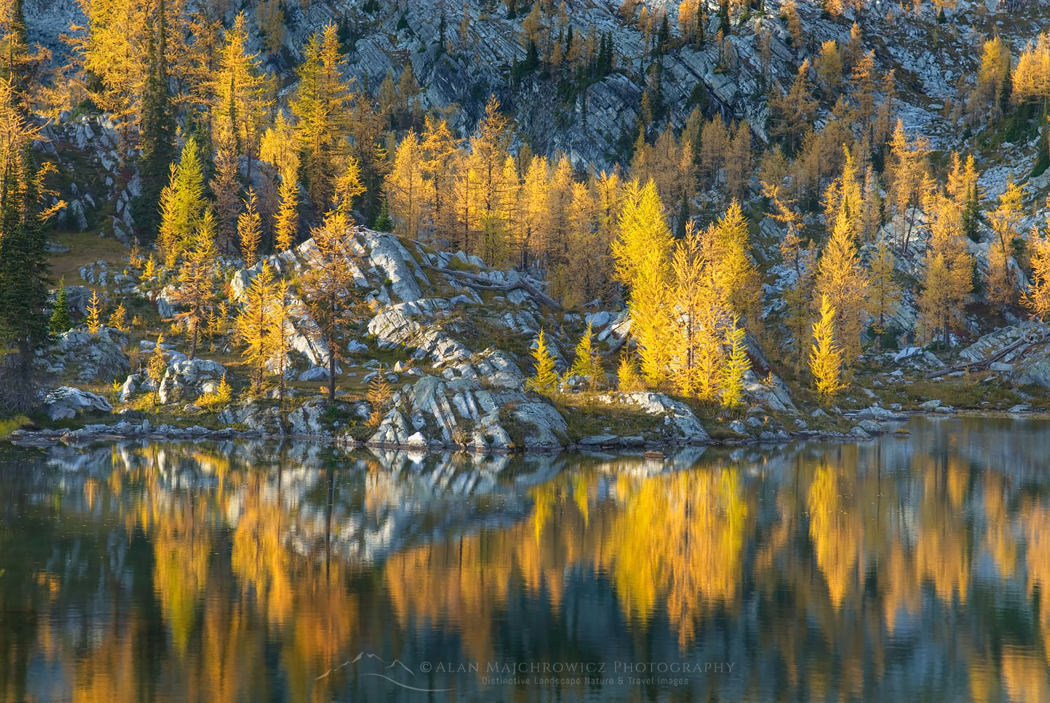
Those not familiar with the Northwest may not know about the magical displays of yellow and gold put on by two kinds of trees. I’m referring to the Lyall’s or Subalpine Larch and the Western Larch. The needles of these two unusual coniferous trees turn a brilliant gold every fall before they are shed. Both varieties grow in very specific areas. And with the right lighting, they can put just about any Vermont forest to shame. But you’ll have to do your homework and legwork to find the best displays. In this post, I’ll be concentrating on the subalpine larch variety.

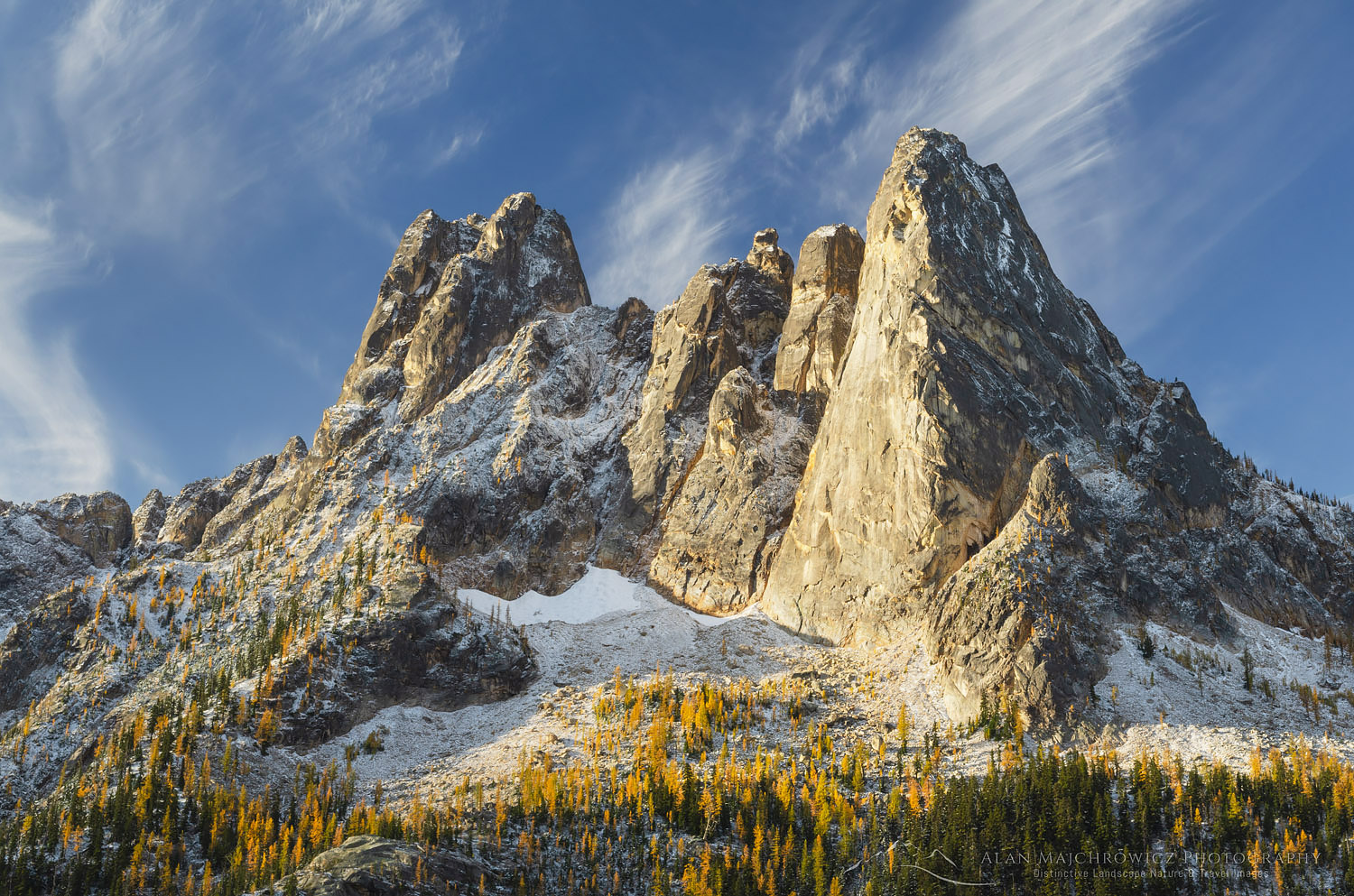
Liberty Bell Mountain North CascadesLiberty Bell Mountain North Cascades  #64568  Purchase

Locating the Subalpine Larch

The Lyall’s Larch resides in subalpine and alpine areas, generally above 5500′ on colder northeast-facing slopes, in a narrow band from the eastern slopes of the North Cascades to the Purcell and Selkirk Mountains of British Columbia. They can also be seen in the Canadian Rockies, with Lake Louise roughly being their northern limits.

In the North Cascades, you’ll have to do some hiking to get to see the best displays. Some spots, like the Enchantments of the Alpine Lakes Wilderness, demand a strenuous multi-day trek gaining over 5000′ feet of elevation along the way. Although there are some more accessible areas, such as hikes around Rainy Pass and Washington Pass on North Cascades Highway.

Hiking and photographing during the peak larch season on a calm sunny day is an experience you won’t soon forget. The sky at this altitude can be an intense blue contrasting beautifully against the vibrant gold of the trees. Tolkien fans will easily associate this experience with the Lord Of The Rings chapter on Lothlorien.

Pasayten Wilderness larches, North CascadesPasayten Wilderness North Cascades  #56448  Purchase

Timing Is Everything

Aside from finding and hiking to the desired location timing and weather is crucial. The Lyall’s Larch generally starts turning color in the last week of September. The colors peak in the first week of October and are gone by the middle of the month. The peak of the season can last anywhere from two days to a week, depending on the weather.

Since the needles of this tree are very soft and delicate, once they start changing color they can easily fall off in a wind rain, or snowstorm. Of course, this is also the time of year when the weather can be very unpredictable. However, seeing the larches on a clear day just after fresh snow can be a very rewarding experience.

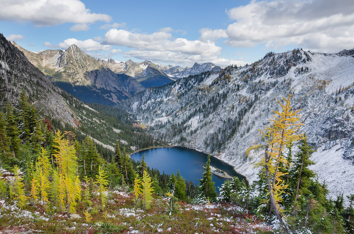
Lake Ann and golden larches after autumn snowfall. North Cascades Washington #64594
Lake Ann North Cascades  #64599  Purchase

A good plan would be to stay in a prime location for several days near some lakes. Clear sunny weather followed by cloudy weather and then a light dusting of snow is optimal. This happened to me one year when visiting the Purcell Mountains of B.C. After six days I came away with a wide variety of alpine landscape images. I was a bit nervous on the last day since it was snowing heavily. I wasn’t sure if my vehicle at the trailhead would be snowed in! It turned out to be a close call, several more inches could have prevented my escape.

Leave No Trace

And now for a short lecture. Larches grow in sensitive and easily damaged alpine environments.  With an ever-growing crush of people seeking them out, these areas can soon show signs of overuse. As I’ve been saying in previous posts, don’t even think about visiting a wilderness area unless you are prepared to follow the guidelines of Leave No Trace (LNT). All wilderness areas throughout the world are under incredible pressure from growing amounts of visitors. So please do your part to tread lightly and help preserve these precious areas for future generations!

To learn more about the principles and practicing LNT please take a few minutes to visit the Leave No Trace Center for Outdoor Ethics. Your children and grandchildren will thank you!

Seven Leave No Trace Principles

  • Plan ahead and prepare.                                       
  • Travel and camp on durable surfaces.                 
  • Dispose of waste properly.                                                                         
  • Leave what you find.                                            
  • Minimize campfire impacts (be careful with fire).
  • Respect wildlife.  
  • Be considerate of other visitors.

Purcell Mountains Larches British ColumbiaPurcell Mountains Larches British Columbia  #25097  Purchase

If you enjoyed reading North Cascades Larch Madness please share it with your friends and family.

Also, check out Methow Valley Fall Foliage for more fall photography locations!

All photos appearing in North Cascades Larch Madness are available for Commercial Licensing and Fine Art Prints. Click on any image to purchase, or contact me for more info!

Boulder Pass wildflowers Glacier National Park

New Images: Montana and Wyoming

New Images: Montana and Wyoming

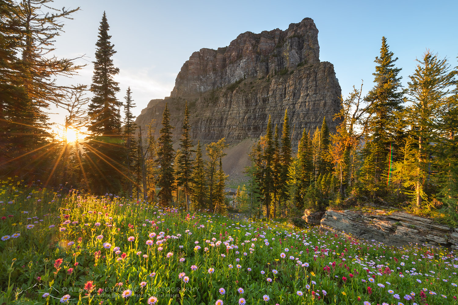
Boulder Pass wildflowers Glacier National Park New Images: Montana and WyomingBoulder Pass Glacier National Park  #69886  Purchase

I’m happy to announce that the next group of new images from my recent summer trip is now online! This group represents the second half of the trip which includes some of the most scenic locations in Montana, and Wyoming.

Especially noteworthy are backcountry photos of Boulder Pass made during my visit to Glacier National Park. This was my first visit to this remote area, and it was also my first backpacking trip in Glacier in many years. This was certainly one of the highlights of the entire summer trip. Also, after many years I was finally able to return to Beartooth Pass and the Missouri River Breaks for new images.

Locations Included

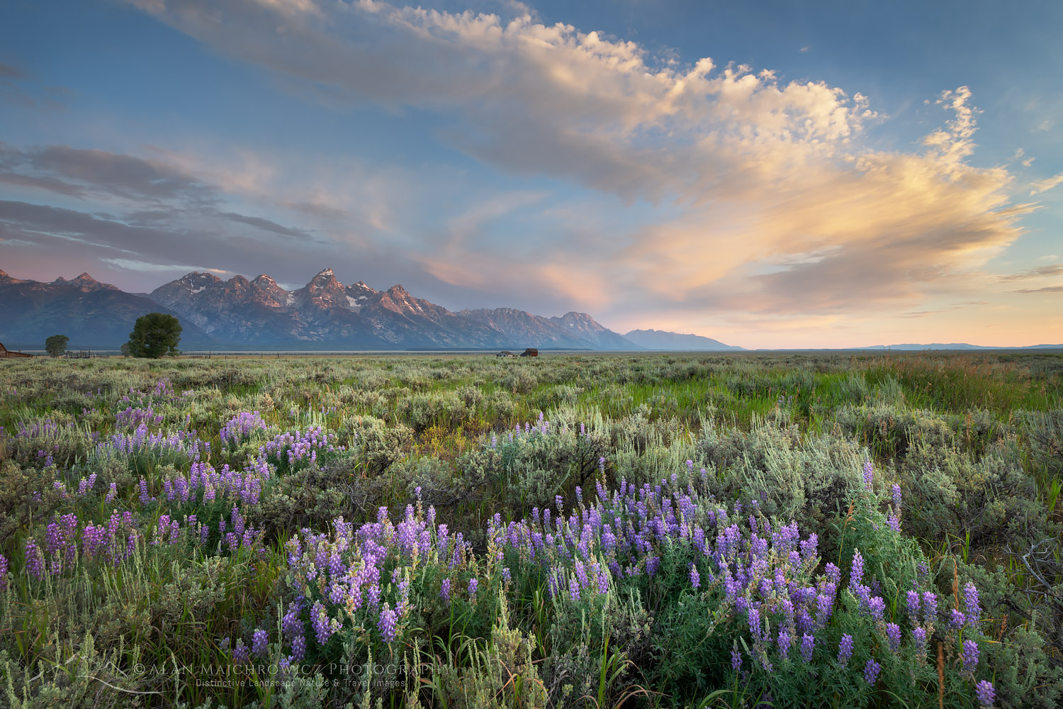
  • Grand Teton National Park
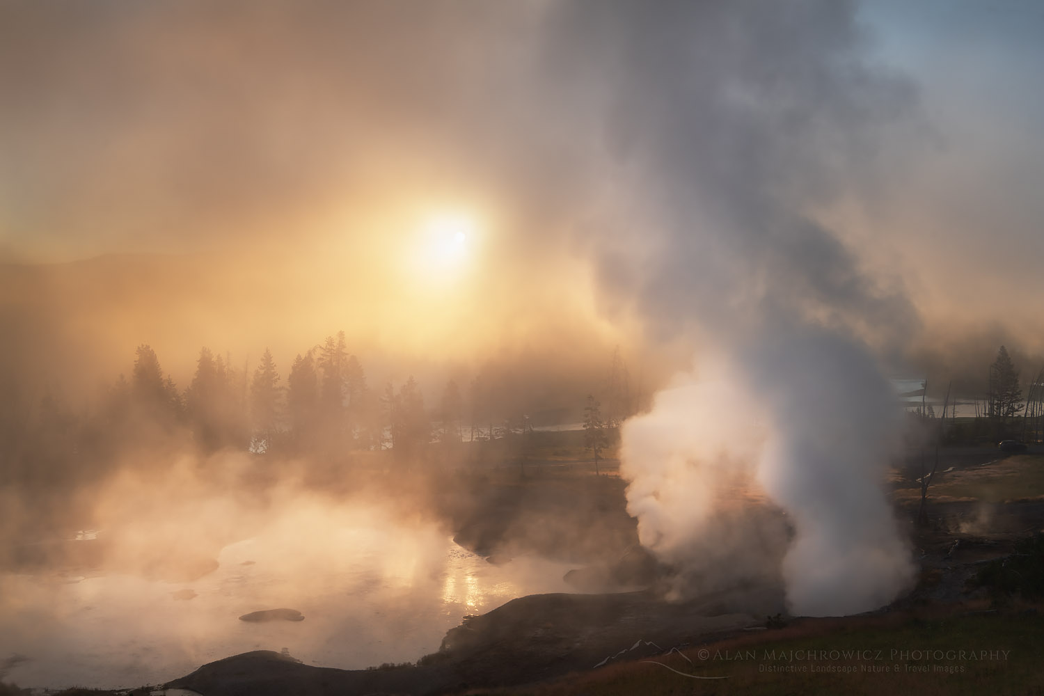
  • Yellowstone National Park
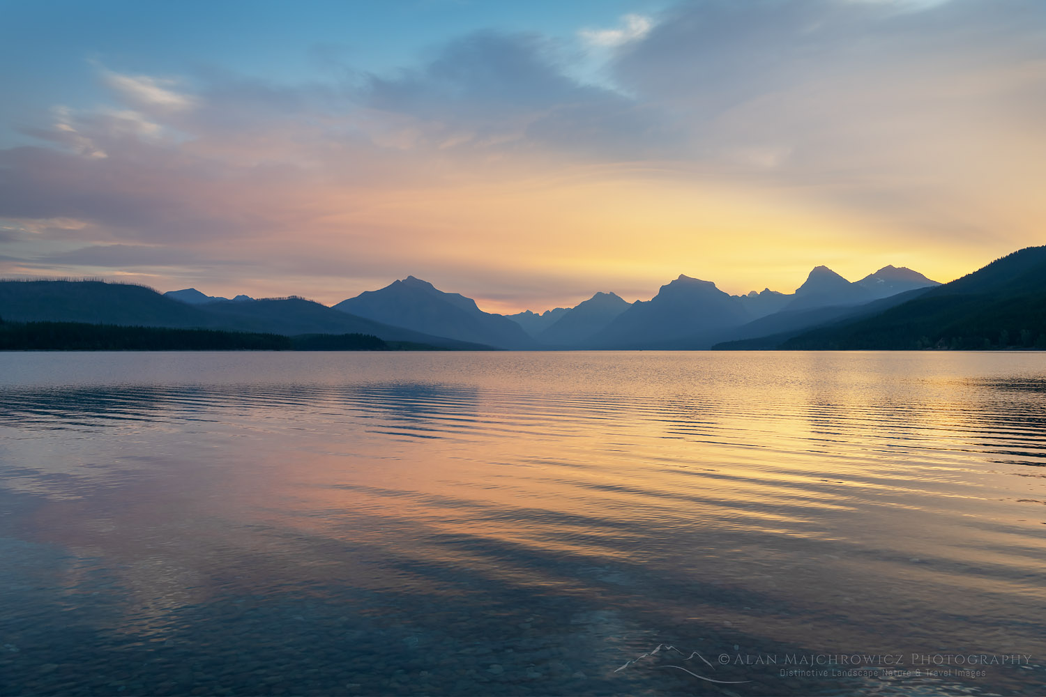
  • Glacier National Park
  • Beartooth Highway/Beartooth Pass
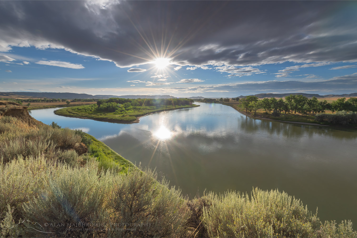
  • Upper Missouri River Breaks National Monument

Antelope Flats lupines and sagebrush. Grand Teton National Park New Images: Montana and WyomingGrand Teton National Park  #69380  Purchase

Judith Landing, Upper Missouri Breaks National MonumentUpper Missouri River Breaks Montana  #69674  Purchase

To see even more new images please visit my Archives at the following links: Montana Washington, Oregon, Idaho, Wyoming. In addition you can also Search the Archives by location and or keywords.

In the coming weeks I’ll also be writing multiple posts detailing all the locations. Additionally, these future posts will include location specific photography tips.

Mud Volcano Yellowstone National ParkMud Volcano Yellowstone National Park  #69421  Purchase

Lake McDonald Glacier National ParkLake McDonald Sunrise Glacier National Park  #70125  Purchase

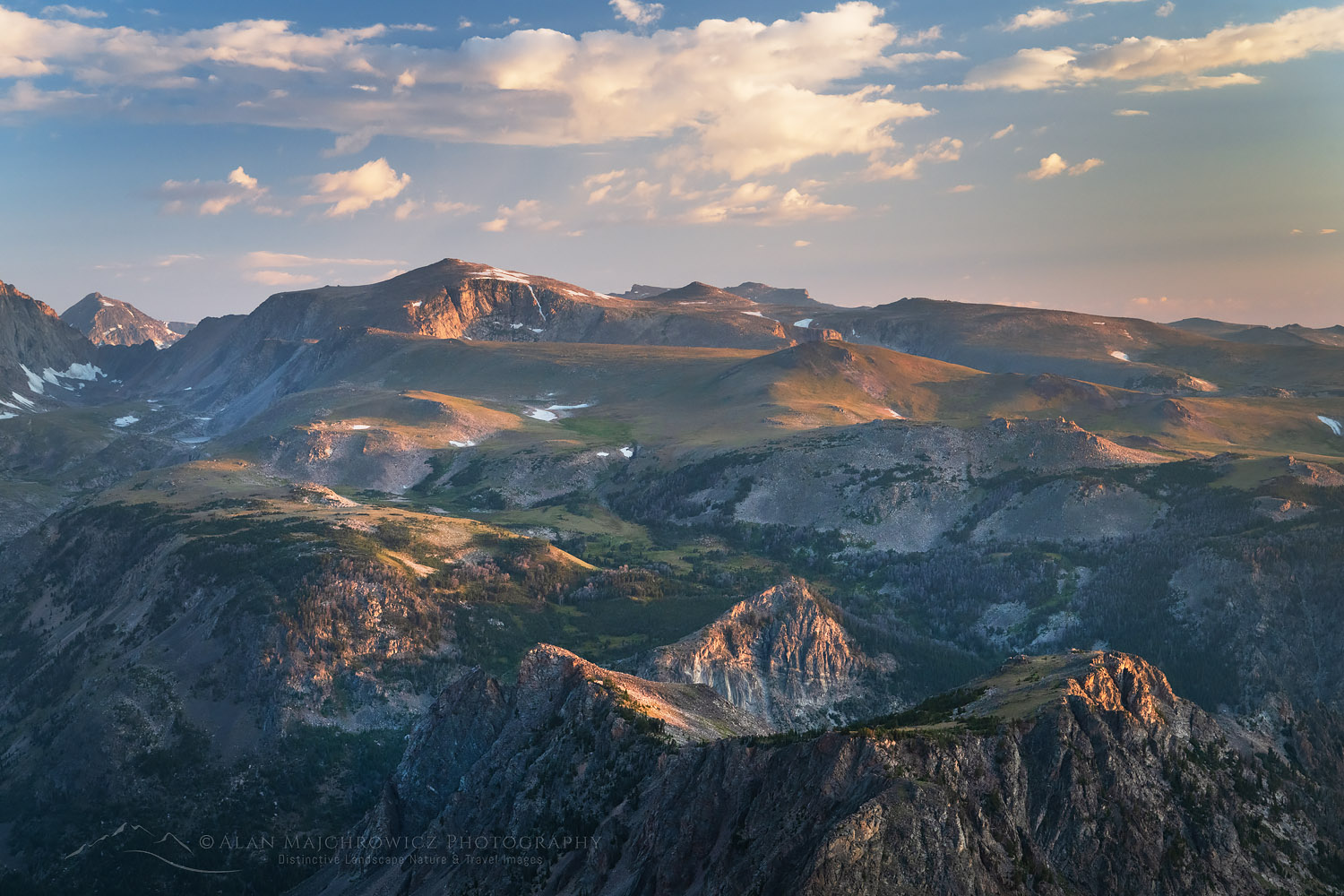
Beartooth Mountains seen from Beartooth Pass, Custer Gallatin National Forest MontanaBeartooth Mountains  #69605  Purchase

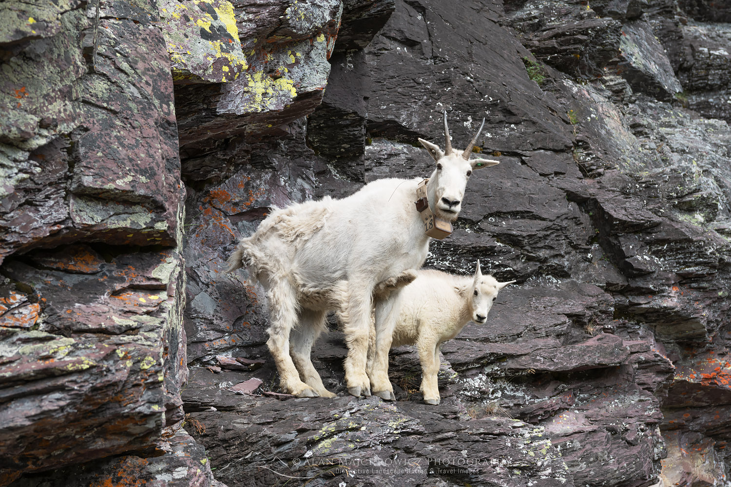
Mountain Goats Glacier National ParkMountain Goats Glacier National Park  #69791  Purchase

All photos appearing in New Images: Montana and Wyoming are available for Commercial Licensing and Fine Art Prints.

Want to learn more about Landscape & Nature Photography? Take your Creative Photography to the next level with  Private Instruction and Guided Photo Tours.

Stormy sunset from Scab Creek Trailhead. Bridger-Teton National Forest Sublette County, Wyoming

New Images: Washington Oregon Idaho Wyoming

New Images: Washington Oregon Idaho Wyoming

Stormy sunset from Scab Creek Trailhead. Bridger-Teton National Forest Sublette County, Wyoming New Images: Washington Oregon Idaho WyomingStormy Sunset from foothills of Wind River Range  #69049  Purchase

I’m happy to announce that the first group of new images from my recent summer trip is now online! This group represents the first half of the trip which includes locations in Washington, Oregon, Idaho, and Wyoming. Also included in the gallery are some floral photos, along with images from the recent Oregon Coast Trip.

Locations Included

  • Palouse Region Washington
  • Eagle Cap Wilderness, Wallowa Mountains Oregon
  • Cecil D. Andrus-White Clouds Wilderness Idaho
  • Snake River Plains Wheat Fields SE Idaho
  • Bridger Wilderness, Wind River Range Wyoming

Palouse Washington New Images: Washington Oregon Idaho WyomingPalouse Washington  #68703  Purchase

Aside from the photos from the Palouse Region of Washington all of the new images are from locations I’ve never visited or photographed in before. Although I’ve been to the Wind River Range of Wyoming many times this was my first trip to Upper Middle Fork Basin.

To see all the new images please visit my Archives at the following links: Washington, Oregon, Idaho, and Wyoming. Of course, you can also Search the Archives by location and or keywords.

Eagle Cap and Mirror Lake Eagle Cap Wilderness OregonEagle Cap Wilderness Oregon  #68776  Purchase

White Clouds Wilderness IdahoWhite Clouds Wilderness Idaho  #68945  Purchase

Pronghorn Peak and Lake Donna. Bridger Wilderness, Wind River Range WyomingPronghorn Peak Wind River Range  #694198  Purchase

New Images Coming Up Next

The next group of new images from the second half of the trip will be coming soon. Locations in that set will include photos from the following locations:

  • Grand Teton National Park
  • Yellowstone National Park
  • Beartooth Pass/Highway
  • Upper Missouri River Breaks Montana
  • Glacier National Park

In the coming weeks I’ll also be writing multiple post detailing all the locations.

All photos appearing in New Images: Washington Oregon Idaho Wyoming are available for Commercial Licensing and Fine Art Prints.

Want to learn more about Landscape & Nature Photography? Take your Creative Photography to the next level with  Private Instruction and Guided Photo Tours.