Coyote Gulch Backpacking Photography
 Coyote Gulch #76072or Purchase
Southwest Utah has some of the finest desert backpacking opportunities in North America. The area boasts 5 national parks, 8 national monuments, and 7 state parks. In addition, it has the largest concentration of natural arches, bridges, and slot canyons in the world. If that’s not enough for you many of these features also spill over into Northern Arizona.
So, where to start? Well, that depends of course not only on your interests, but also on your fitness, experience level, and time available. Some of the best trips are into the mazes of canyons. These trips usually offer more shade and dependable sources of water, two important considerations in the desert. At the top of the list for many is a trip into Coyote Gulch in Glen Canyon National Recreation Area.
 Coyote Gulch Waterfall #76147a Purchase
A Coyote Gulch backpacking trip has all of the best features of the Southwest packed into one trip. High canyon walls, arches, natural bridges, lush riparian areas, and waterfalls, are a desert rarity. In addition, a trip into Coyote Gulch is doable by most backpackers and requires no canyoneering experience.
In addition to Coyote Gulch being an outstanding backpacking trip, it can be a trip of a lifetime for photographers. All the features mentioned above are also prime subject matter for landscape and nature photographers. As I mentioned in my previous post, Southern Utah Photography Tips, the quality of reflected light in Coyote Gulch is outstanding.
For this post, I’ll be giving tips for the average backpacker and photographer. Depending on the source, entry point, and length of trip, a multi-day Coyote Gulch Backpacking trip is rated moderate to difficult.
 Jacob Hamblin Arch #75998 Purchase
Highlights of Coyote Gulch
One of the best, if not the best, attractions of a Coyote Gulch visit is Jacob Hamblin Arch. This large arch is located in a horseshoe bend amidst high sandstone walls. While not the largest arch in the Southwest its setting makes it one of the most impressive, and a must-see for any visitor. Adjacent to the arch is an enormous alcove with some impressive acoustics.
Further downstream Coyote Natural Bridge is another interesting attraction. And a mile or two further is Cliff Arch, a spectacular area that includes beautiful waterfalls. If you venture to the end of Coyote Gulch the final coup de grâce is the confluence with the Escalante River and a view of Stevens Arch, high above the canyon floor. Aside from these attractions are the wonderfully sculpted sandstone canyon walls painted with streaks of desert varnish.
With these features alone Coyote Gulch would be worth a visit. But it’s the lush vegetation that adds a finishing touch to the masterpiece. In fall the cottonwood trees blaze yellow, making a trip into Coyote Gulch a near-mystical experience.
 Coyote Gulch #76338 Purchase
Photographing during a Coyote Gulch Backpacking Trip
All of the highlights in the above section are great subject matter for photographers. For a photographically successful trip, there are a few things you’ll need to keep in mind.
First, reflected, or bounced light, is one of the hallmarks of canyon country photography. This is when the sun hits one side of the canyon and then reflects on the opposite side, giving a beautiful warm natural glow to sandstone rock. Without it, the walls of slot canyons and many other formations would appear dull and lifeless.
In most instances, a sunny cloudless sky is usually not favorable for landscape photography. But when you’re working in a canyon with high walls it’s just the thing you need.
 Mud patterns in Coyote Gulch #76326 Purchase
Another element to be aware of when photographing in Coyote Gulch is its wonderful shapes and patterns. The curving walls and ceilings of alcoves, streaks of desert varnish on sandstone walls, and ripple marks in mud and sand all make for unique and interesting compositions. Add to this trees blazing in fall color and you have all the elements of great landscape and nature photography.
Essential Tip:
Always be observant and look around for interesting photo opportunities. Slow down, give yourself plenty of time, and be willing to stop to take photos.
Essential Gear Tips:
Towards the end of this post, I’ll suggest some camera gear to bring along. But one of the most important items you’ll need is a good wide or ultra-wide-angle lens. If you want to take some great photos of Jacob Hamblin Arch and the nearby alcove you’ll need an ultra-wide lens to fit it all in.
Secondly, you’ll need to bring along a good tripod. Alcoves and other areas in deep shade will require long exposures which are difficult to achieve handheld. Similarly, achieving the silky texture of waterfalls will require a tripod for long exposures.
 Cottonwood tree in fall color Coyote Gulch #76078 Purchase
Best Seasons for Coyote Gulch Backpacking Trips
Spring and Fall are the two best seasons for a Coyote Gulch backpacking trip. The temperatures are mild and the dangers of flash flooding are minimal. Mosquitoes and flies can be irksome in summer but are at their minimum during spring and fall. In spring the vibrant greens of trees and bushes are an outstanding contrast to the warm hues of the sandstone canyon walls. Of course, the reason is similar in fall, when the yellow leaves of cottonwood trees are providing the drama.
Summer isn’t the best season for a Coyote Gulch Backpacking trip. The two biggest reasons are heat and flash floods. With temperatures regularly in the triple digits, even shade in the canyons can provide little relief from the heat. Late June to early September is also the monsoon season in the Southwest. During monsoon season flash floods can be frequent, and deadly when traveling in canyons. Sunny days are no guarantee of safety. Storms and heavy rain can occur many miles from a canyon. But eventually, all that water will come rushing down into the canyons. Never forget that canyons, especially slots, were formed by these floods.
 Cliff Arch Coyote Gulch #76201 Purchase
Winter is also not the best season to visit Coyote Gulch. Temperatures can be cold to freezing, although doable. However, access roads can present a major problem. Nearly all unpaved roads in Southern Utah are impassable when wet. Even 4×4 vehicles can easily get stuck. The main access road to Coyote Gulch is Hole in the Rock Road. This gravel road is well maintained, although often covered with miles of bone-jarring washboards. However, side roads branching from it generally are not. If you go in winter, it is necessary to check with the local visitor center for road condition updates.
Routes into Coyote Gulch
There are four different entry and exit routes in Coyote Gulch. All four have their advantages and disadvantages. I’ll briefly describe them from north to south.
 Upper Coyote Gulch #75937
Red Well:
This entry will take you down the entire length of Coyote Gulch. To date, this is the route I took on my only Coyote Gulch backpacking trip. A round trip would be about 28 miles. I think this entry is interesting in that the gulch starts in a wide shallow, dry wash with low walls and little vegetation. Over the miles, it gradually transforms into a deep canyon with high walls, a running creek, and lush vegetatio
n. The upper reaches are less traveled,
and the vegetation can easily become a fatiguing bushwhacking trek.
The trailhead is 30 miles south on Hole in the Rock Road, then 1.5 miles down BLM 254. Parking is at the end of the road.
Hurricane Wash:
The entry point will bring you into the scenic heart of Coyote Gulch. At around 27 miles roundtrip it is only slightly shorter than Red Wells. The advantage is that the less scenic upper parts are bypassed. The big disadvantage is that for the first several miles the route crosses over uninteresting open terrain with deep sand. On a hot sunny day, this section can be difficult.
The trailhead is 33 miles south on Hole in the Rock Road.
 Red Well Trailhead Sign #76354
The Sneak Route, or Jacob Hamblin Arch Water Tank Route:
This route provides the shortest access directly into and out of the most scenic area of the gulch. It has gained much popularity over the years, and some will say it is the best route. However, it is
not the easiest route for the inexperienced! The last short section is over a 200′ descent on a 45º Slickrock slope with significant exposure. And for all but the most experienced, or foolhardy, a climbing rope is necessary for a safe ascent or descent, especially with a heavy pack. Do your research and know your limitations before choosing this potentially dangerous route.
Go 36.25 miles south on Hole in the Rock Road. Turn left on Fortymile Ridge Road BLM 270, follow 4.5 miles, and park at the corral and water tanks.
Crack in the Wall:
This may be the most popular route into Coyote Gulch and probably will be the entry point for my next visit. It enters the gulch at its lower reaches, not far from the confluence with the Escalante River. From here you can hike the entire length of the gulch and exit at Red Well. This entry also involves the longest drive to the trailhead, with the last four or five miles on rough Fortymile Ridge Road. After hiking about two miles the route descends into the gulch via a tight crack in a cliff. You’ll most likely need a rope to lower your pack separately down this section. There is a larger dune below the crack which may be strenuous to climb on the way out.
Go 36.25 miles south on Hole in the Rock Road. Turn left on Fortymile Ridge Road BLM 270, and follow 6.8 miles. The last two miles can be sandy.
Navigating in Coyote Gulch
While at its most basic navigating through the gulch is simply following the stream up or down through the canyon. However, in some sections like in the mid to upper reaches navigation can be more difficult. Less traveled parts have few obvious trails and can be a tangle of brush. And sometimes there are too many trails that try to follow the path of least resistance. While other areas can be confusing with side canyons that can lead to dead ends. A GPS may or may not be helpful if the signal is lost among the tall canyon walls. Topographic maps are helpful but some do not have enough detail to pick out the correct route. Coyote Gulch is one of the few areas where I was mostly relying on my route-finding instinct.
 Group Camp in Coyote Gulch #75969
Camping and Regulations in Coyote Gulch
The best places for camping in Coyote Gulch area are in the vicinity of Jacob Hamblin Arch, Coyote Natural Bridge, and near the Crack in the Wall. All of them are at or near the most scenic spots and have access to water in the creek or seeps from walls.
The most important thing to keep in mind when selecting a campsite is the potential for flooding. Look for established sites that are at least fifteen feet above the canyon floor. In addition, search the site for obvious signs of previous floodings, like debris wrapped around the base of trees.
-
- Fires are not permitted anywhere in Coyote Gulch.
- All human waste must be bagged and carried out. Restop2 bags are recommended
- Food Storage. Small rodents are the problem here, they can peck through bags, packs, and tents. Hang food or better year use a bear canister.
- Water is available from the stream but can be very silty. There are two natural springs, one near Jacob Hamblin Arch. Regardless if you use the spring or stream, treat or boil all water.
- Permits are required for all overnight visits. They can be obtained at the trailhead or in the visitor center in the town of Escalante.
- Pets are not permitted in Coyote Gulch, nor are any form of a pack animal.
- Rangers regularly patrol the gulch so make sure you have your permit ready and are following all the rules.
- Stop by the Escalante Interagency Visitor Center for current conditions, permits, maps, and waste disposal bags
Essential Tip: Every year visitation is increasing dramatically, and rules and regulations can change every year or even season. Always check in advance for changes in regulations, permits, and road and trail conditions.
 Coyote Gulch campsite #76082
Safety during a Coyote Gulch Backpacking Trip
As mentioned earlier, flash flooding and heat are the main, but not the only, safety concerns while in Coyote Gulch. If you go in spring or fall these concerns will be at a minimum.
-
- Flash Floods and rain. If you do get caught in heavy rain or flash flood situations, immediately move to higher ground. Be prepared to wait it out until water levels have dropped to a safe level.
- Always check multiple weather forecasts before heading out to the trailhead. If conditions aren’t optimal choose another destination.
- Quicksand. Yes, it does exist, but in my experience, it’s not like what you see in old Western TV shows and movies. You will encounter it mainly along streams in canyons, especially after a heavy rain, or flood. If you’re walking on a bank along a creek that suddenly quivers like jello and liquifies under your foot that’s quicksand. It’s easy enough to extract your foot if you’re alert and don’t proceed any further. If you get both feet in it you’ll have more trouble extracting yourself and you may lose a shoe. But you won’t slowly sink to your death like in the movies.
- Make sure you have a full tank of gas and plenty of extra water before heading out to the trailhead.
 Coyote Natural Bridge #76235 Purchase
Backpacking Gear Suggestions
Backpacking gear for Coyote Gulch is pretty similar to that for most other backpacking locations. The main difference would be footwear.
-
- Footwear: You will be walking in and out of the water all day in Coyote Gulch. Trail runners, hiking shoes, neoprene river shoes, or cheap sneakers work best. Whatever you wear will take a serious beating between the constant wetting and abrasive sand and mud. Leather hiking boots are not a good choice.
- Tent: Lightweight three-season tent or bivy. I use a Big Agnes Copper Spur HV UL2
- Tent Liner: This will protect the bottom of your tent from abrasive sand. Don’t buy an expensive liner to match your tent. A thick plastic sheet costs pennies and will do the trick. I purchased a large sheet from a hardware store, and cut it to size. I’ve been using it for nearly 20 years!
- Backpack: Well-fitting and large enough for all your gear. My preference is Osprey packs, they’re well-designed and well-made.
- Sleeping bag: Unless it’s a mid-winter trip a bag rated to 30º or 40º is sufficient. My preference is Western Mountaineering down bags.
- Sleeping Pad: I prefer a Therma-Rest inflatable pad. They are more comfortable, offer better insulation, and pack smaller than currently closed-cell foam pads.
- Stove: Fires are not permitted in Coyote Gulch, so a camp stove is essential. Bring whatever you have as long as it’s reliable. I recently switched over to an MSR Reactor Stove System and am extremely happy with its performance.
- Water Purification: I boil all my water, the weight of extra fuel required to boil water with my Reactor stove is incredibly negligible. I’ve estimated the weight is less than that of a filtration pump. Online reviews report that UV Pens can be unreliable. I’ve also used filtration pumps and found them a pain to use and maintain, especially with very silty canyon water.
- Headlamp: and batteries
- Food: Whatever floats your boat. But make sure to bring some trail snacks or energy bars, and also pack a drink mix to replenish electrolytes. I think most powders sold in outdoor stores are way overpriced and taste horrible, so I stick with good old Gatorade.
- Clothes: Lightweight quick-drying pants and T-shirts are best. Avoid cotton, it has little insulation when wet and dries slowly. My preference for baselayers and a pullover sweater is Merino wool. It’s very warm, lightweight, quick-drying, and also doesn’t smell as bad as synthetics after a few days. I also bring a light down jacket, and a rain shell if the weather is uncertain.
- First aid kit
- Maps and compass
- Parachute cord 50′ in length, for hanging food or lowering packs
- Hat
- Bandana
- Multi-tool
Essential Tip: Whenever possible please support local outdoor recreation stores over big online retailers. For Coyote Gulch Escalante Outfitters is a good source for gear, current conditions, and dining.
 Coyote Gulch Alcove #76264 Purchase
Photography Gear for a Coyote Gulch Backpacking Trip
What type of camera gear you bring depends of course on your goals. For small prints, blogs, and social media posts a smartphone or pocket camera may be sufficient.
Listed below is my standard kit while on a multi-day backpacking trip. It has been sufficient for all my needs in nearly every situation. The camera body and lenses in my kit are a little heavy, but the resulting image quality is what I require.
-
- Nikon D850 with 3 extra fully charged batteries
- Nikkor Lens:
14-24mm 2.8G ED
24-70mm 2.8E ED
70-200mm 2.8E FL ED - Gitzo 1532 Tripod
- Really Right Stuff B-55 Ball Head
- B+H Polarizing Filter
- Vello FWM-N2 Remote Shutter Release
- Microfiber cleaning cloth
- Lowe Pro 75 Toploader camera case*
*I always carry my camera in a top-loading case with a chest harness. That way I don’t have to remove my backpack for a quick photo. In addition, this case has extra compartments and room for things like a map, snack, sunglasses, etc.
 Coyote Gulch #76250 Purchase
Leave No Trace
Please Please Please! Don’t plan a trip to this or any other wilderness area unless you are prepared to strictly follow the guidelines of Leave No Trace (LNT). Coyote Gulch and all other wilderness areas throughout the world are under incredible pressure from growing amounts of visitors. Please do your part to help preserve these precious areas for future generations!
To learn more about the principles and practicing LNT please take a few minutes to visit the Leave No Trace Center for Outdoor Ethics. Your children and grandchildren will thank you!
Seven Leave No Trace Principles
-
- Plan ahead and prepare.
- Travel and camp on durable surfaces.
- Dispose of waste properly.
- Leave what you find.
- Minimize campfire impacts (be careful with fire).
- Respect wildlife.
- Be considerate of other visitors.
Learn about how to protect the places we love to photograph
Visit the Nature First Website

 Coyote Gulch Alcove #75967 Purchase
For more tips on Backpacking Photography check out these posts:
Backpacking Photography Tips
Backpacking Photography Gear Tips
Thanks for reading, and feel free to share this post with your friends and colleagues!
Want to learn more, or have a professional photographer guide you in the field? Then take your Creative Photography to the next level with Private Instruction and Guided Photo Tours.
All photos appearing in Coyote Gulch Backpacking and Photography are available for Commercial Licensing and Fine Art Prints. Click on any image to purchase, or contact me for more info!


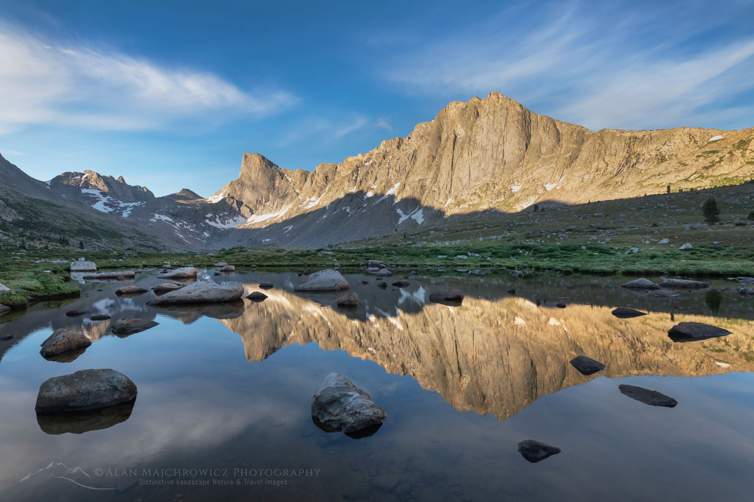
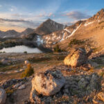
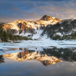
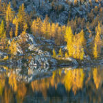
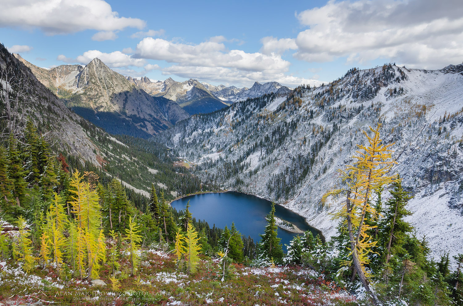
 at Boulder Pass")


 Glacier National Park")